Introduction
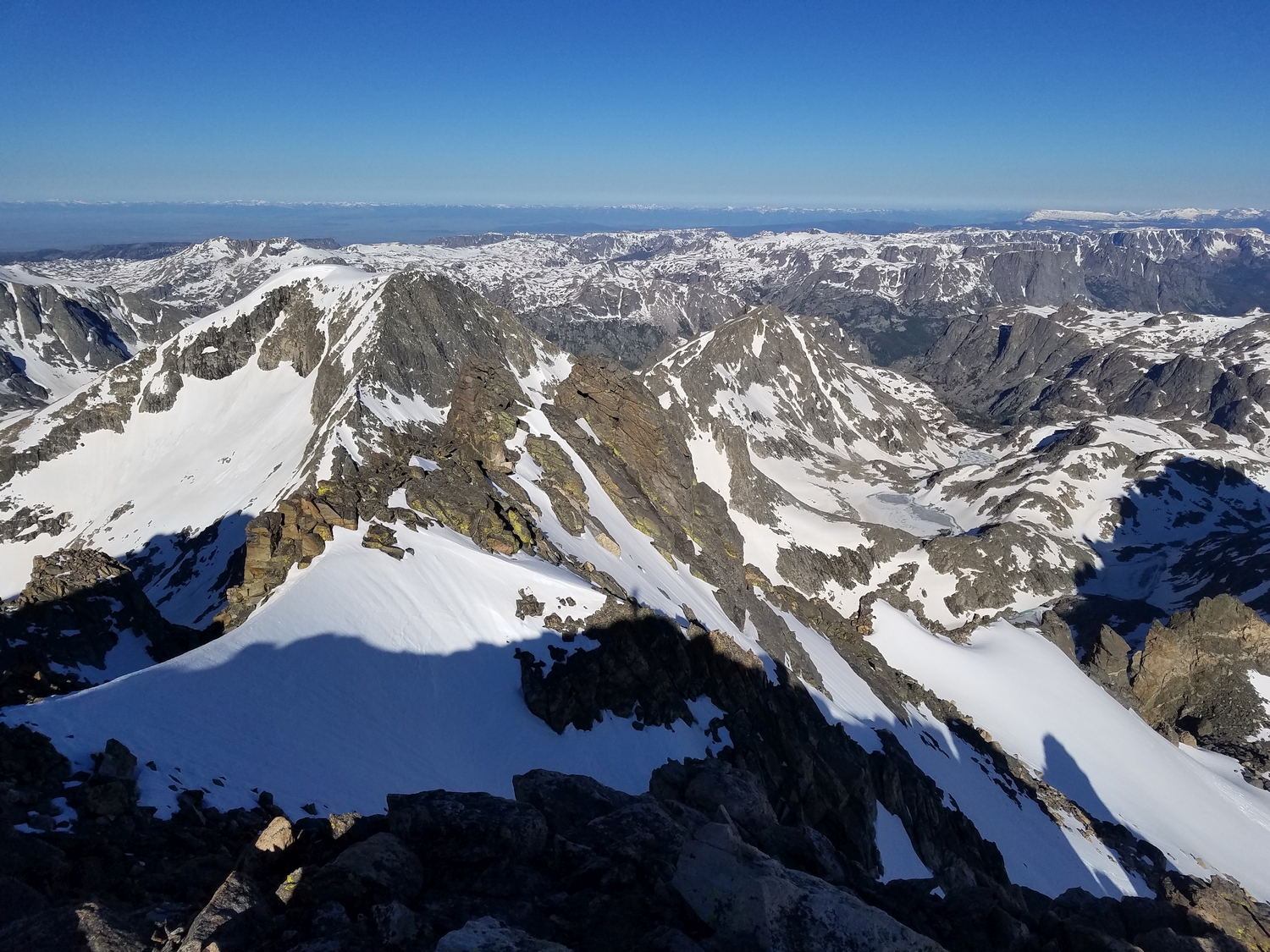
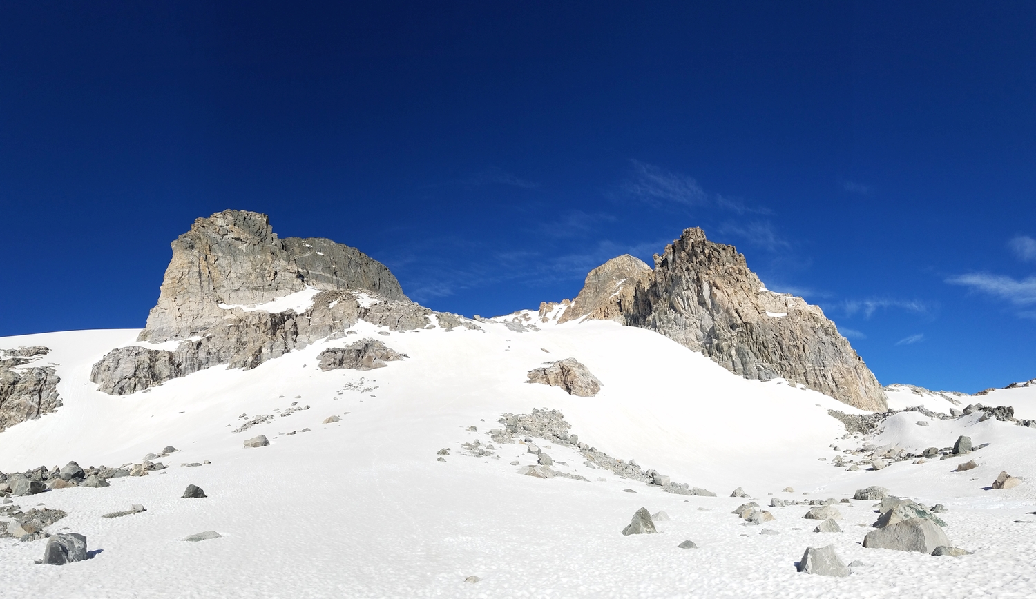
Moving north along the Continental Divide, Koven is the last of the major technical summits, and all of the 13ers north of here can be climbed at class 3 or lower. As the first and highest in this chain of walk-up summits, Bastion carries its distinction well, with a grand profile and a variety of moderate routes. Notable technical routes also exist, but are not included in this peakbagger-oriented guide.
General Considerations
Bastion is a convenient peak, and can be climbed from every point of the compass at comparable difficulty. Combinations of routes are often used to make traverses, and your choice of approach will probably depend on which other peaks you intend to climb. Bastion has even been used by backpackers to cross the Continental Divide!
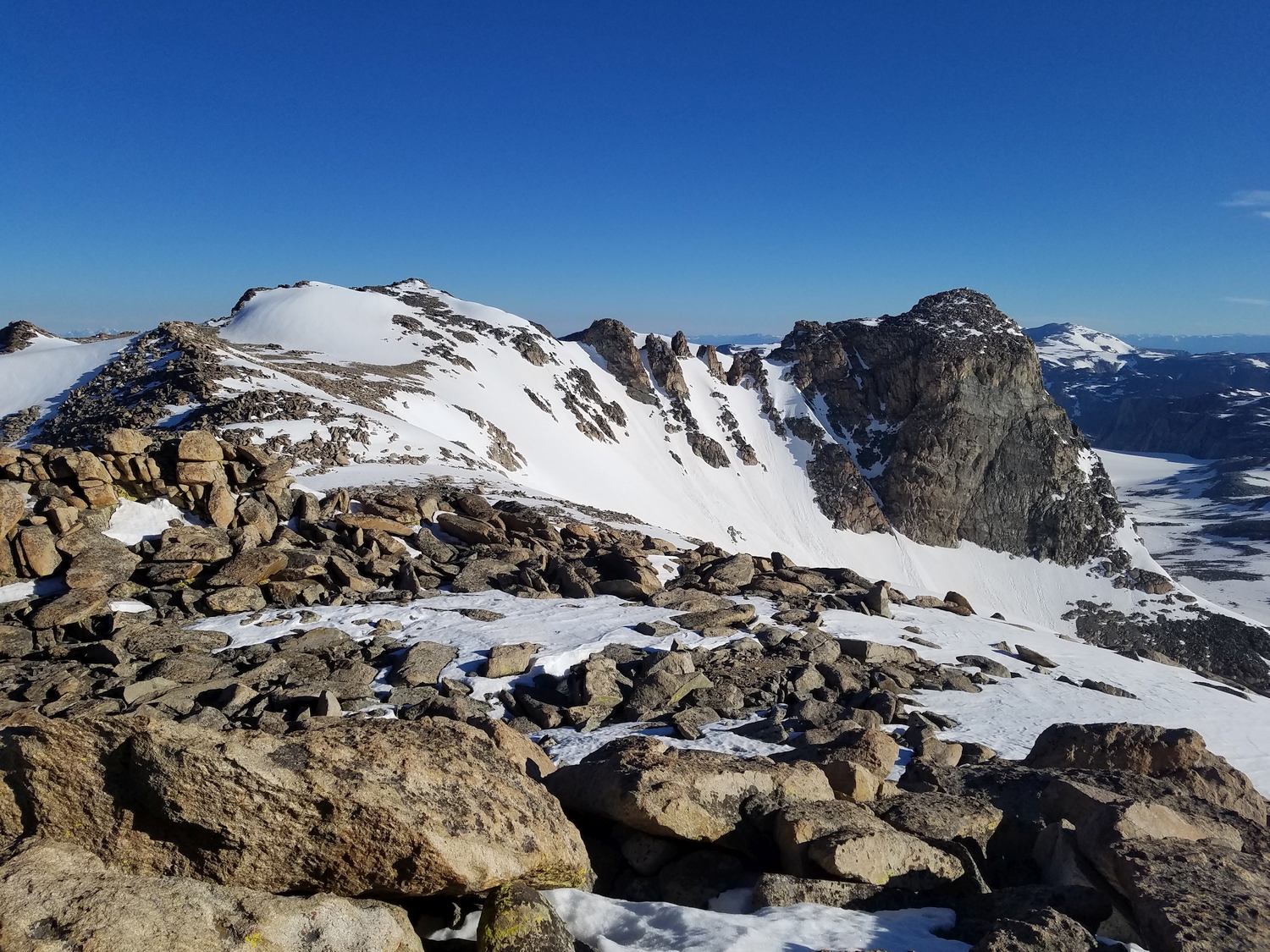
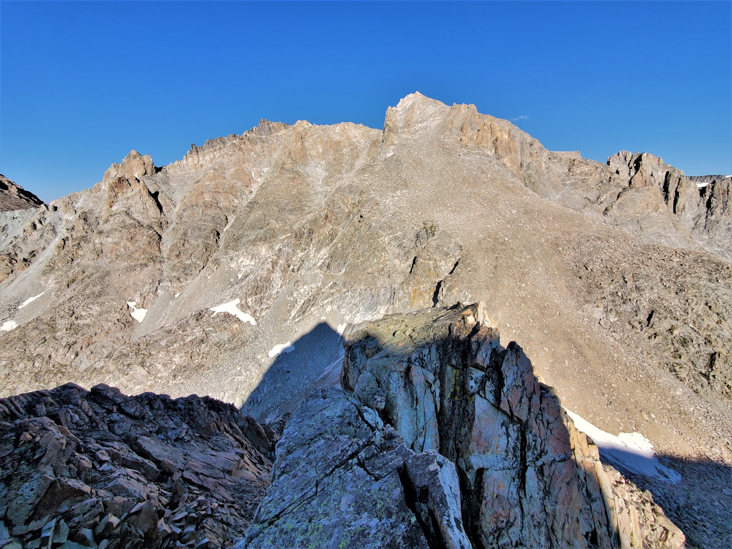
Route 1: North Slopes – Class 2+
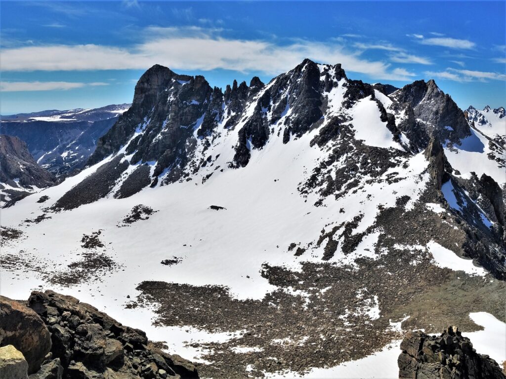
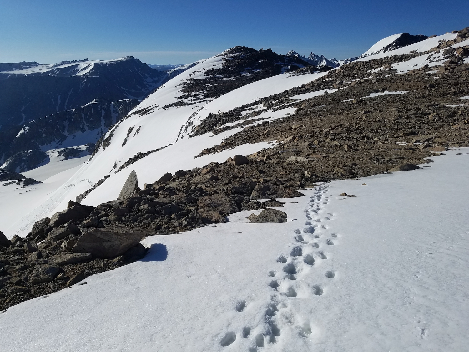
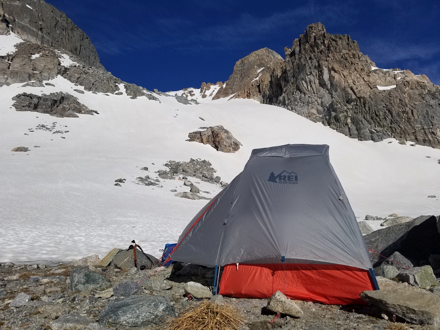
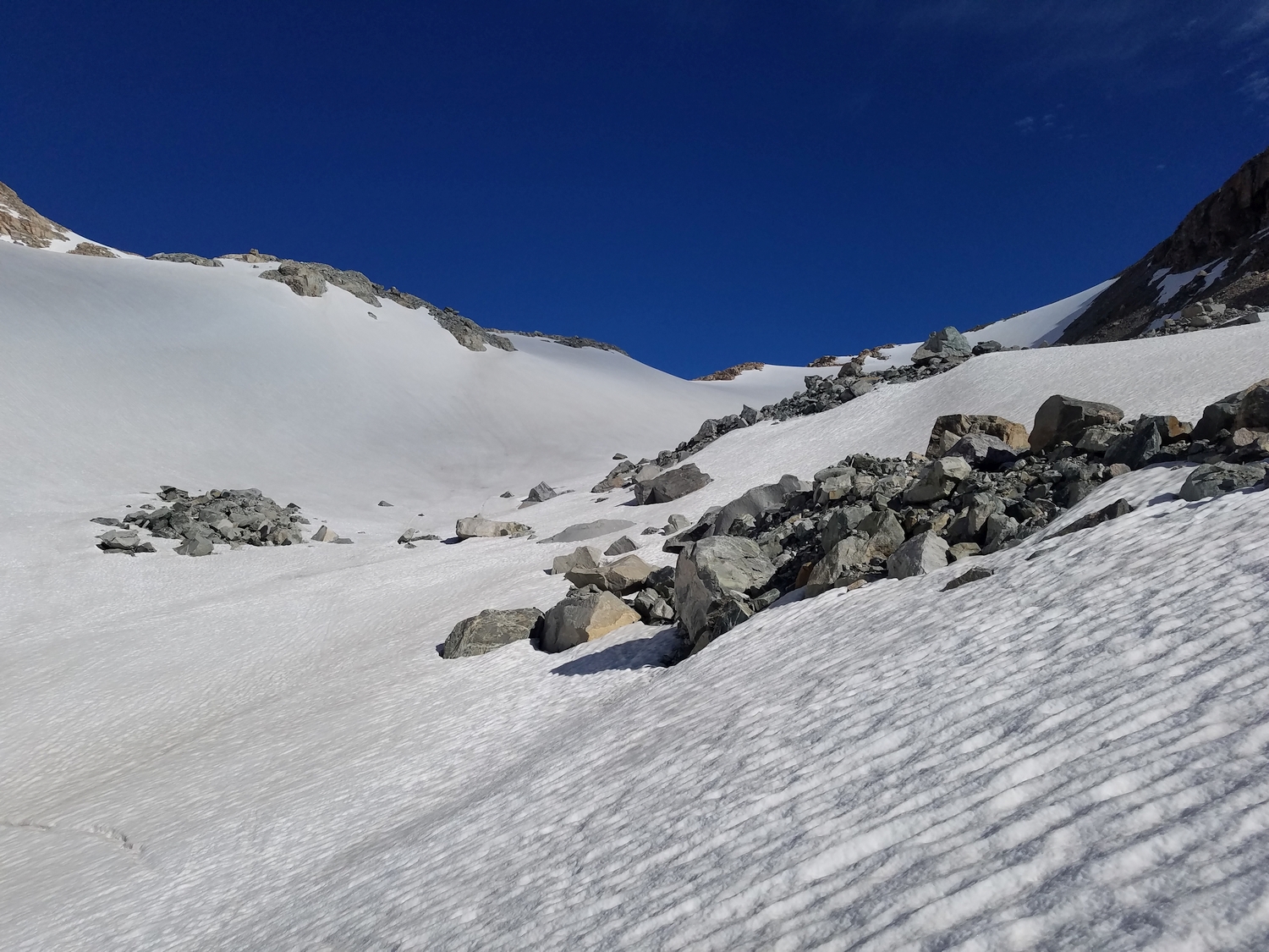
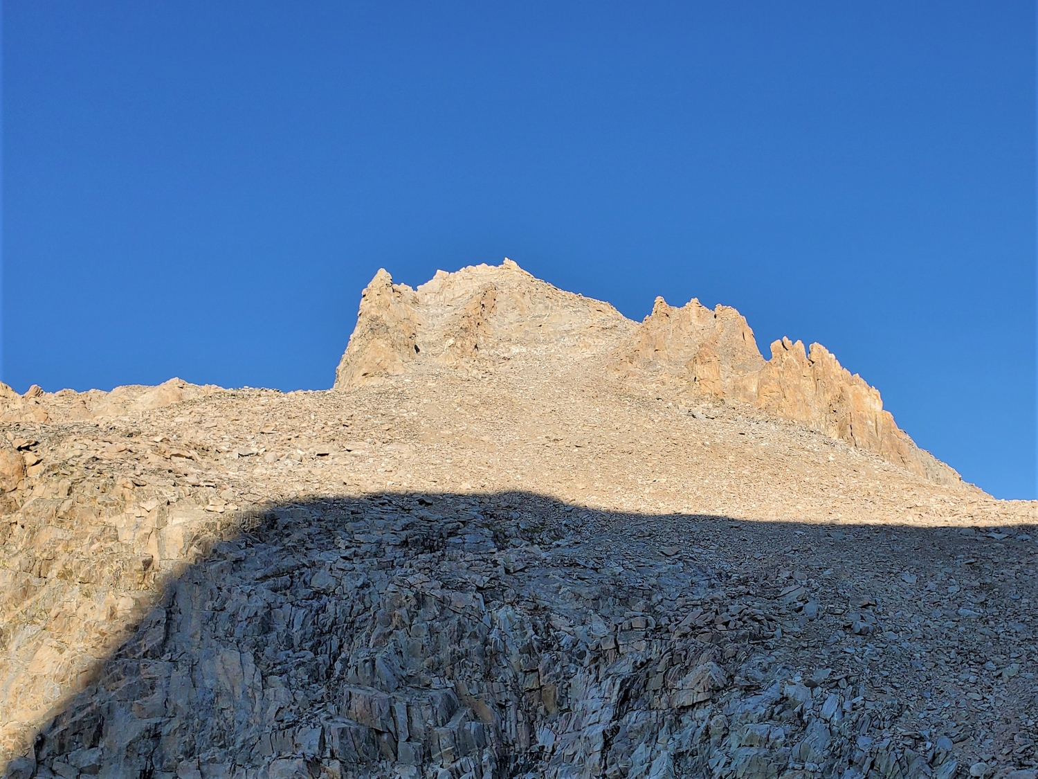
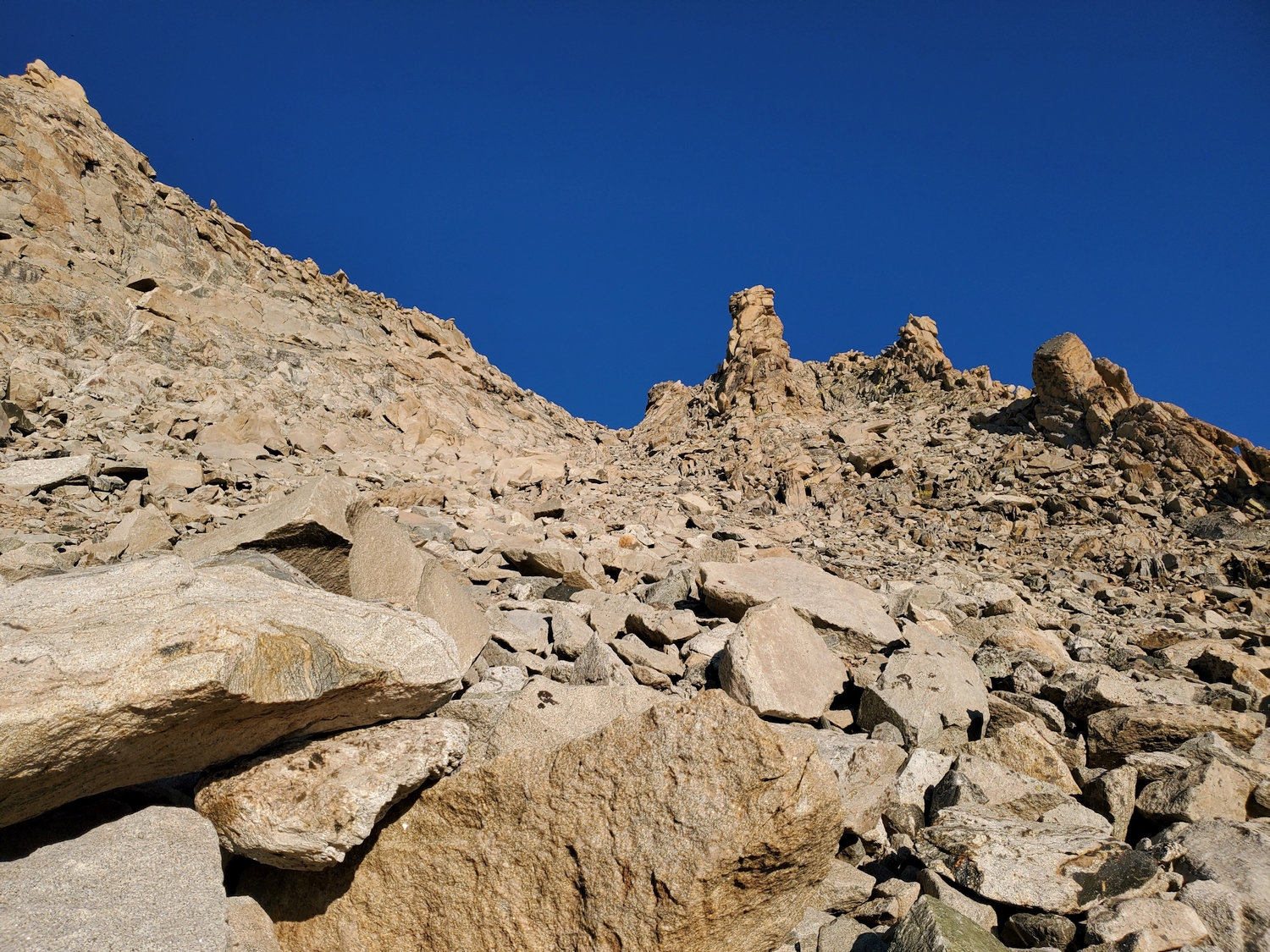
From the large talus field extending to the Divide north of Bastion, a large swath of talus and scree breaks through the upper cliffs and extends to Bastion’s summit ridge. From the top of the talus, the summit is a short walk away. A variation to this route follows steeper scree directly below the summit. Like most scree routes in the Wind River Range, in the early season the route is a moderate snow climb.
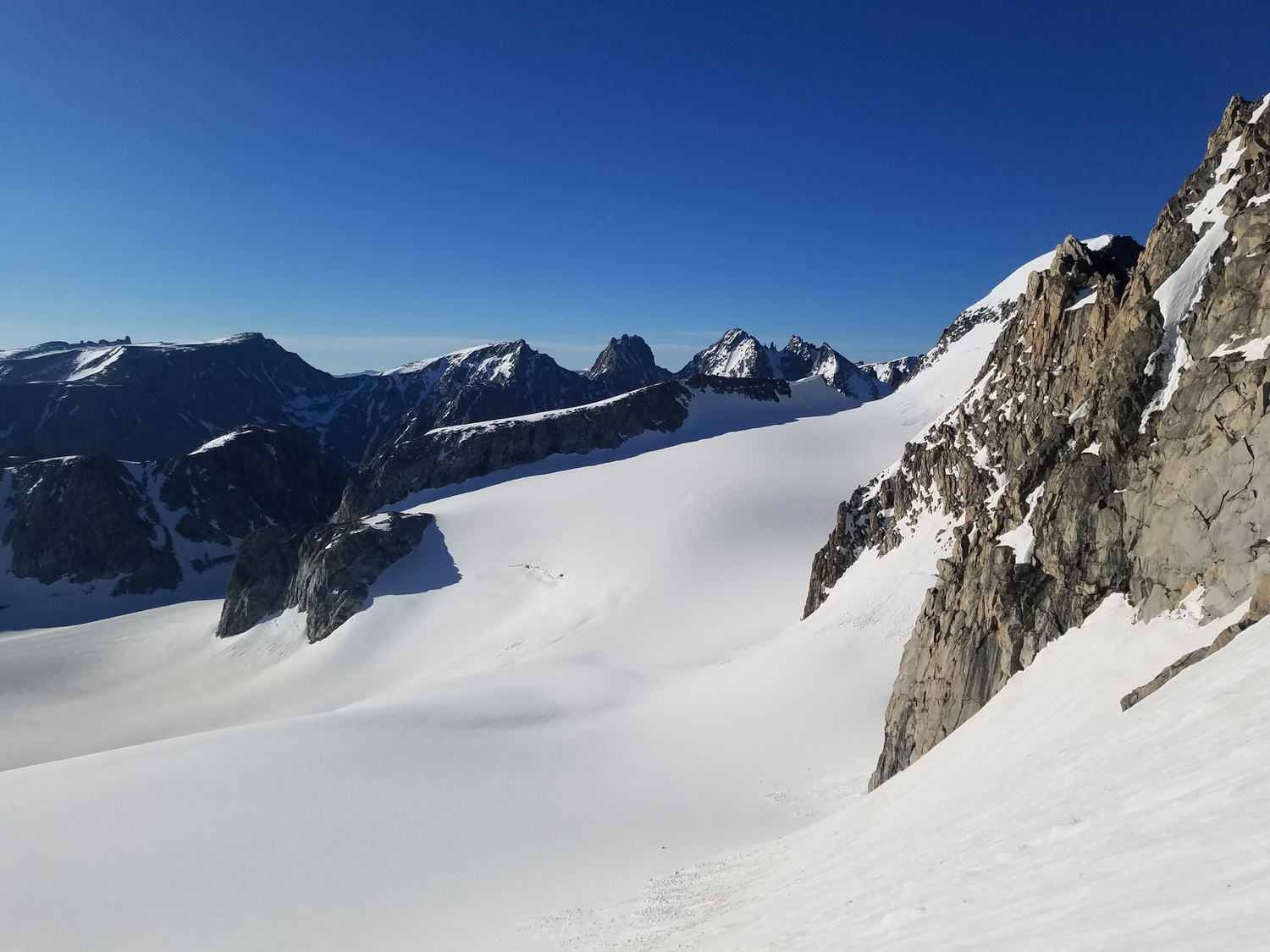
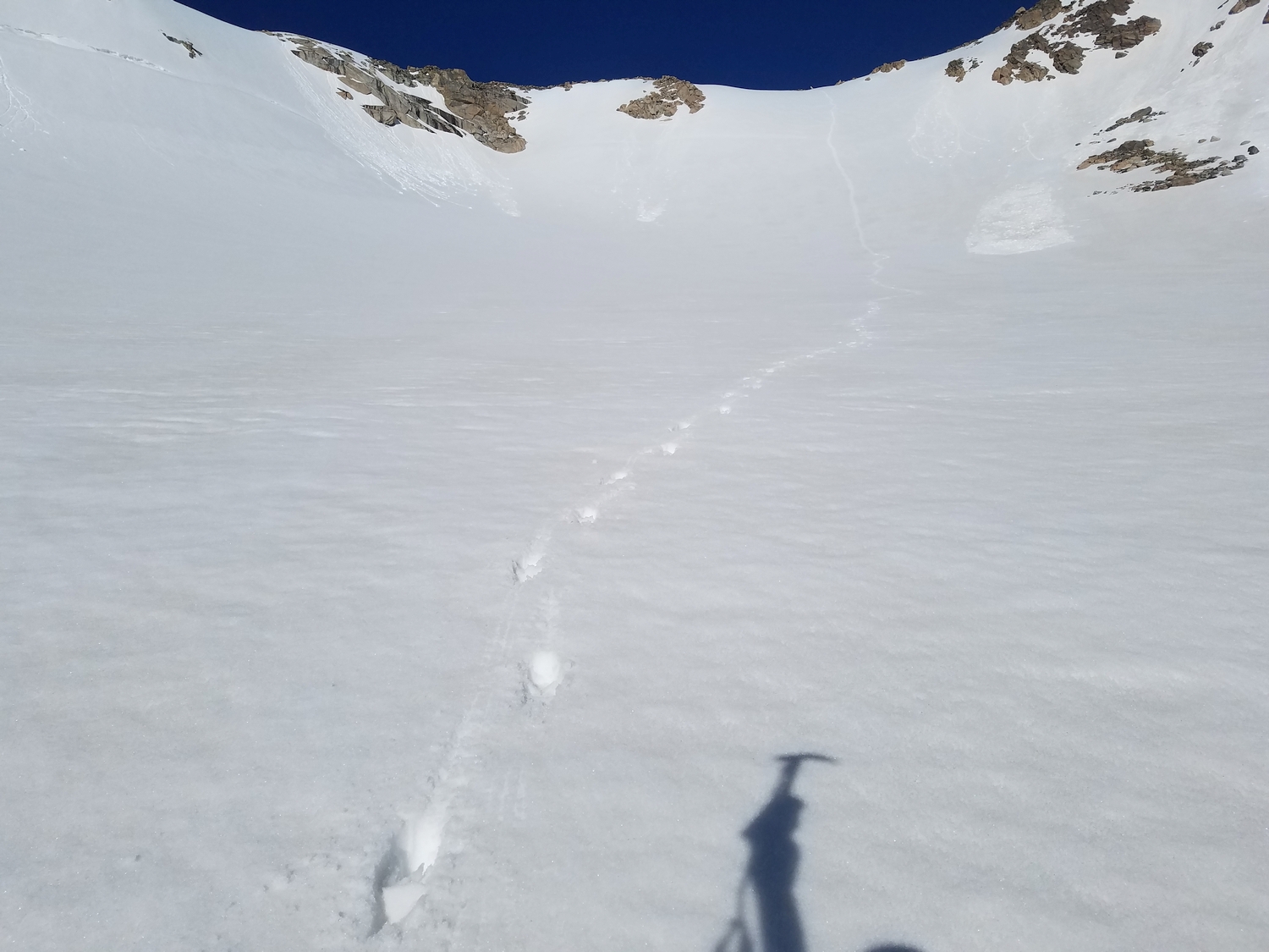
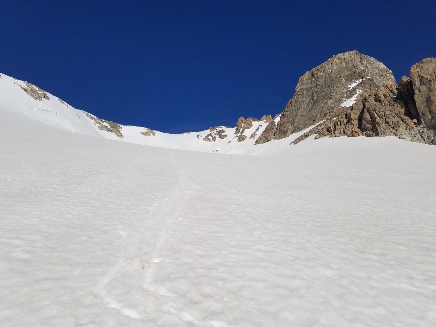
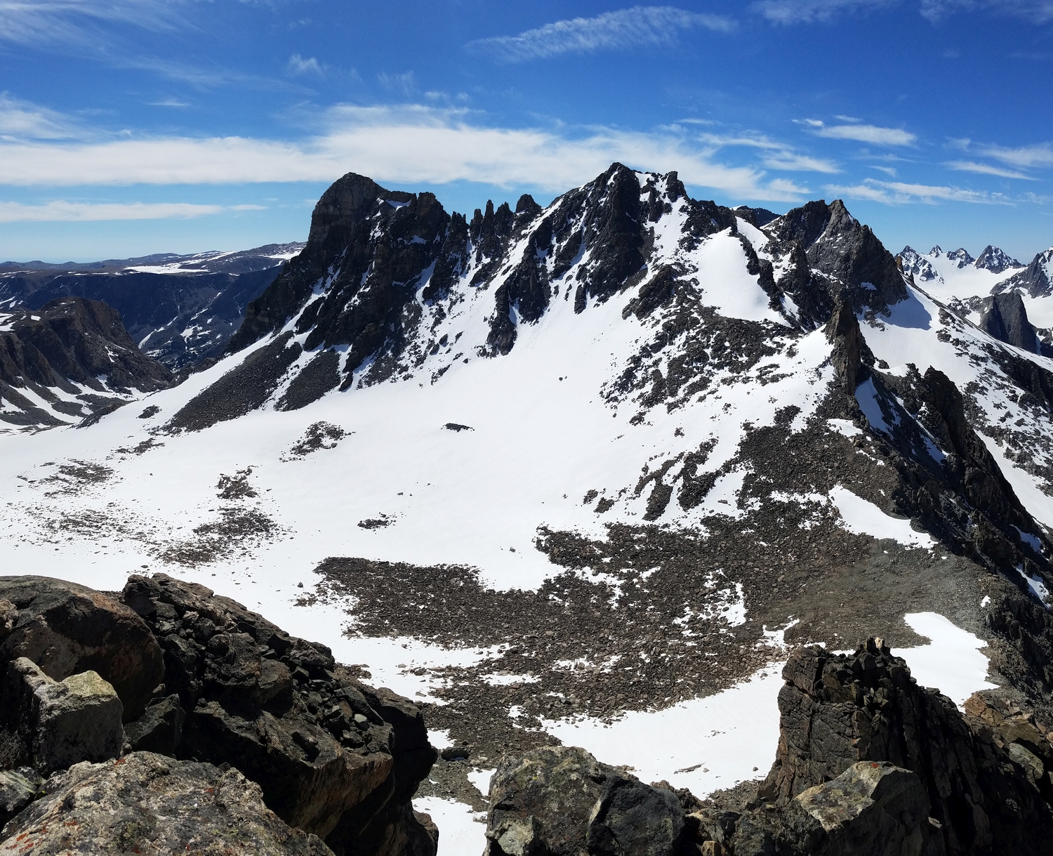
Route 2: East Glacier – Class 2, Moderate Snow
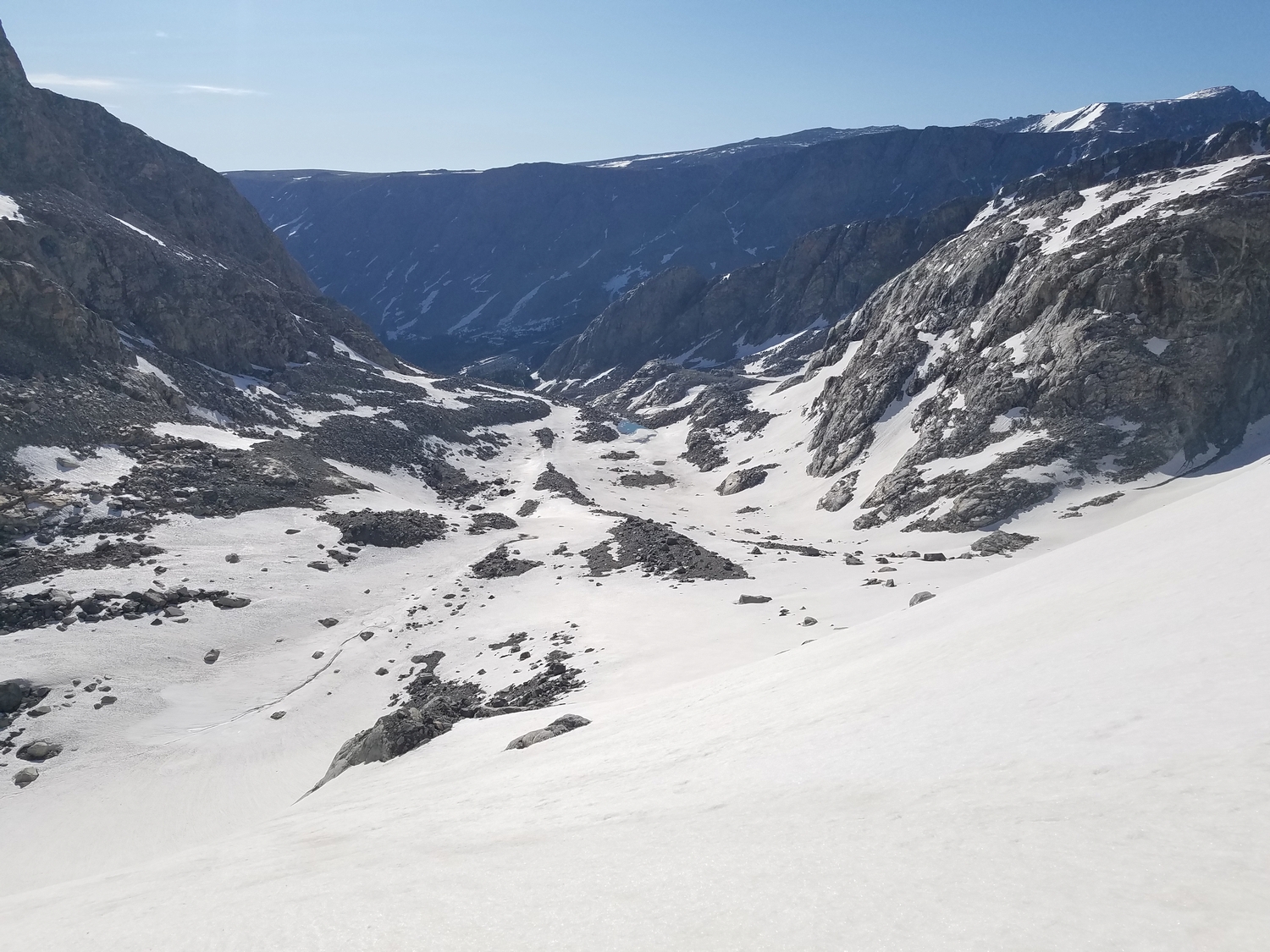
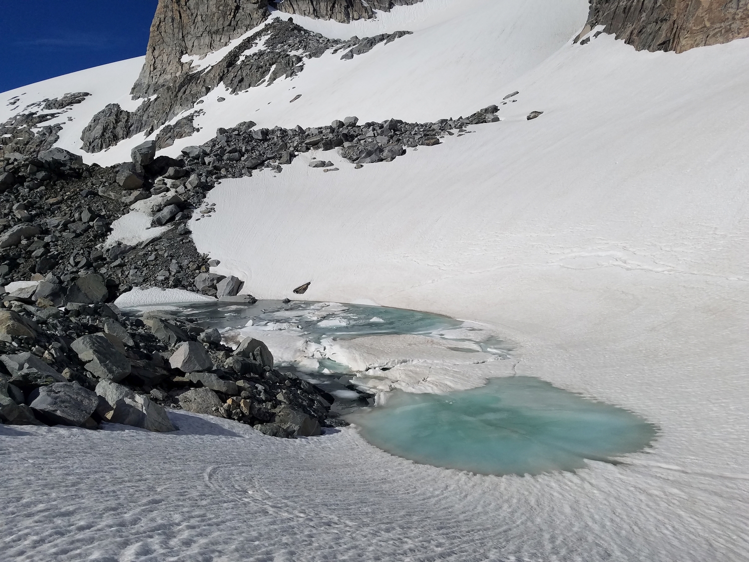
When looking up from Gannet Creek, a small but obvious glacier splits the two main ramparts of Bastion Peak. A standard mix of bushwhacking, moraine hiking, and snow travel offers access from Gannett Creek to the base of this lobe of the Gannett Glacier extending from the eastern cirque of Bastion, and the glacier itself is moderately angled. The author did not notice any crevasses, but due diligence is advised. The summit is across a short plateau from the top of the glacier.
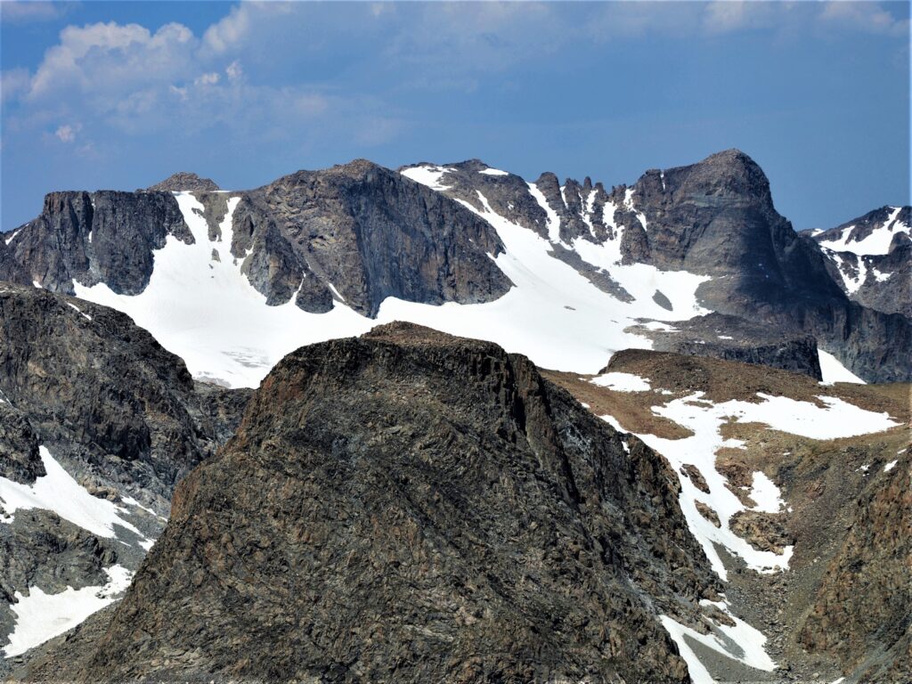
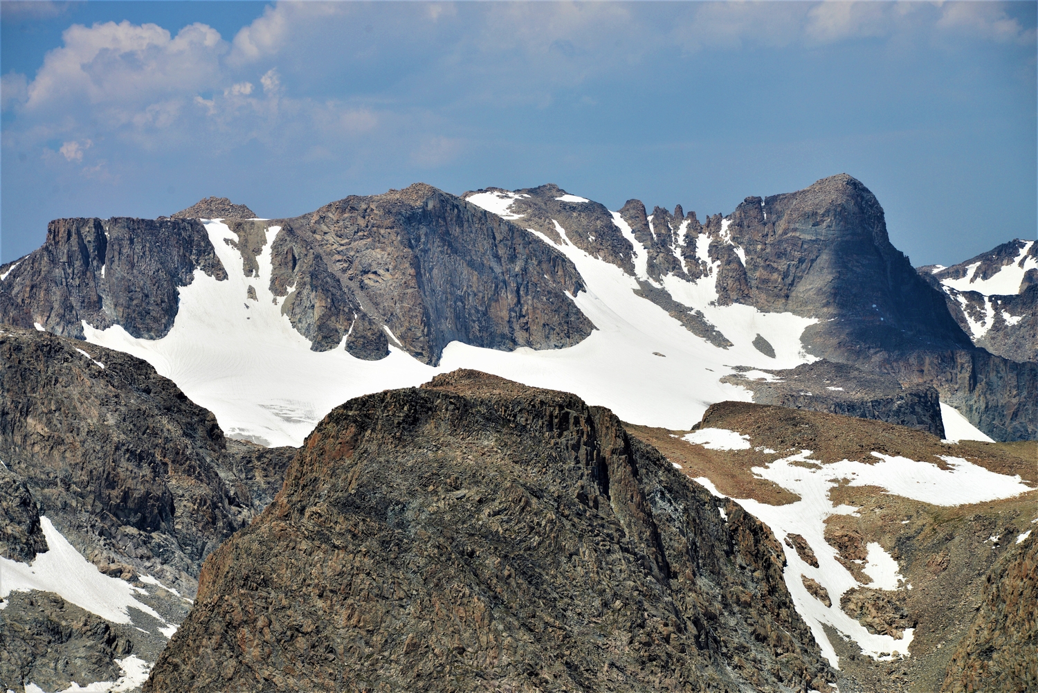
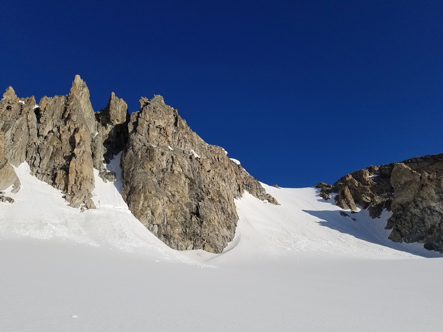
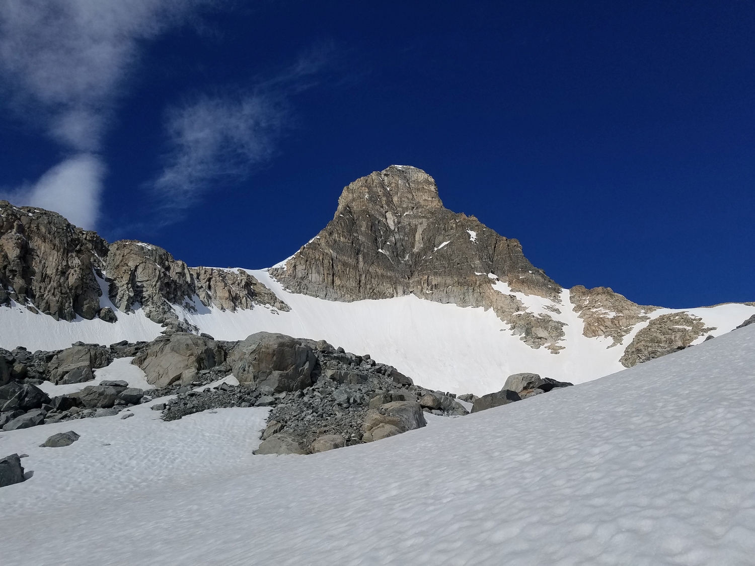
Route 3: South Couloir – Class 2, Moderate Snow
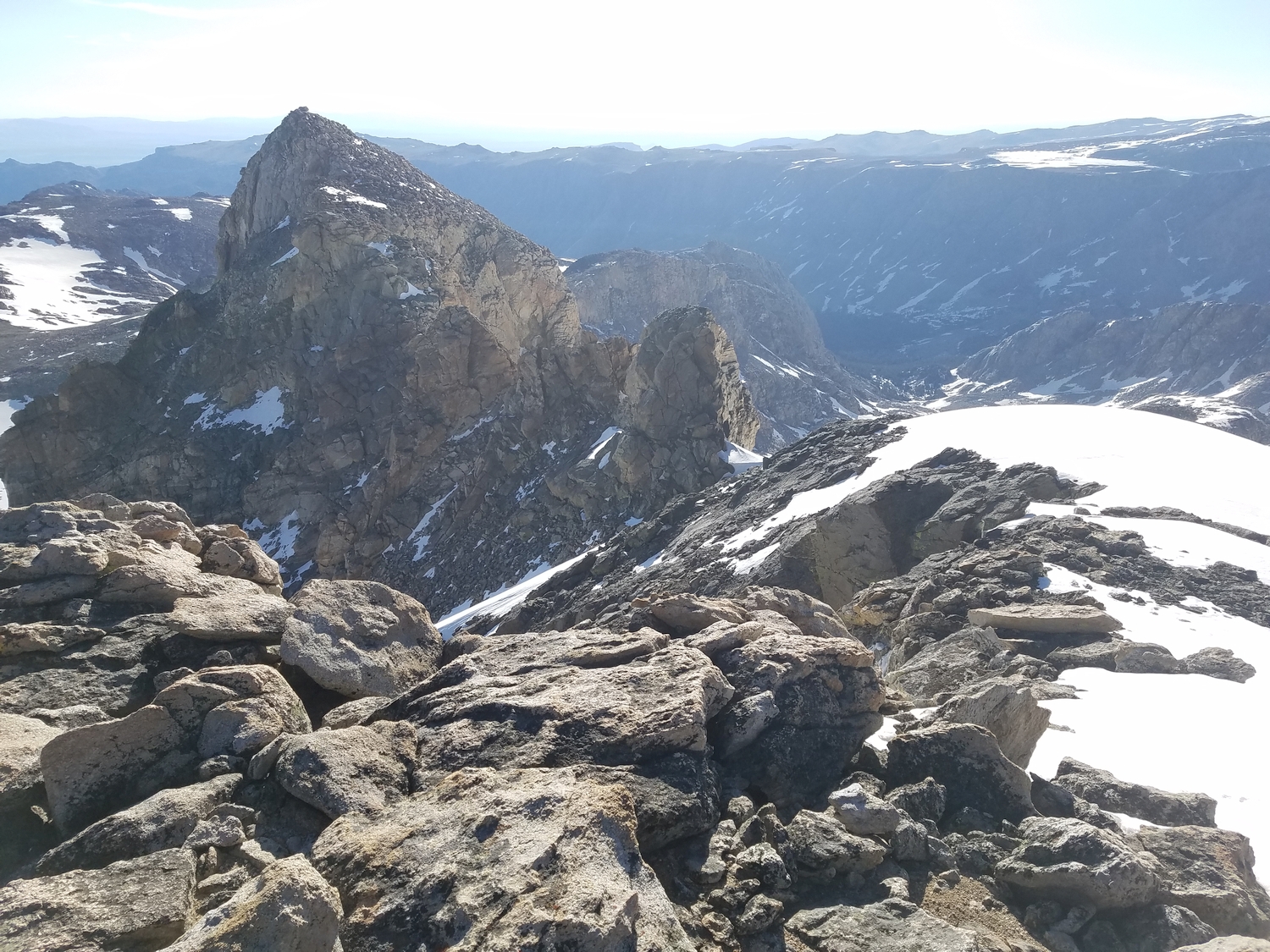
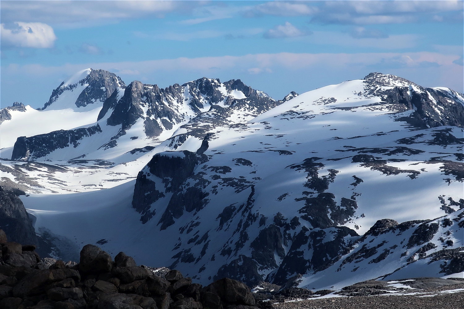
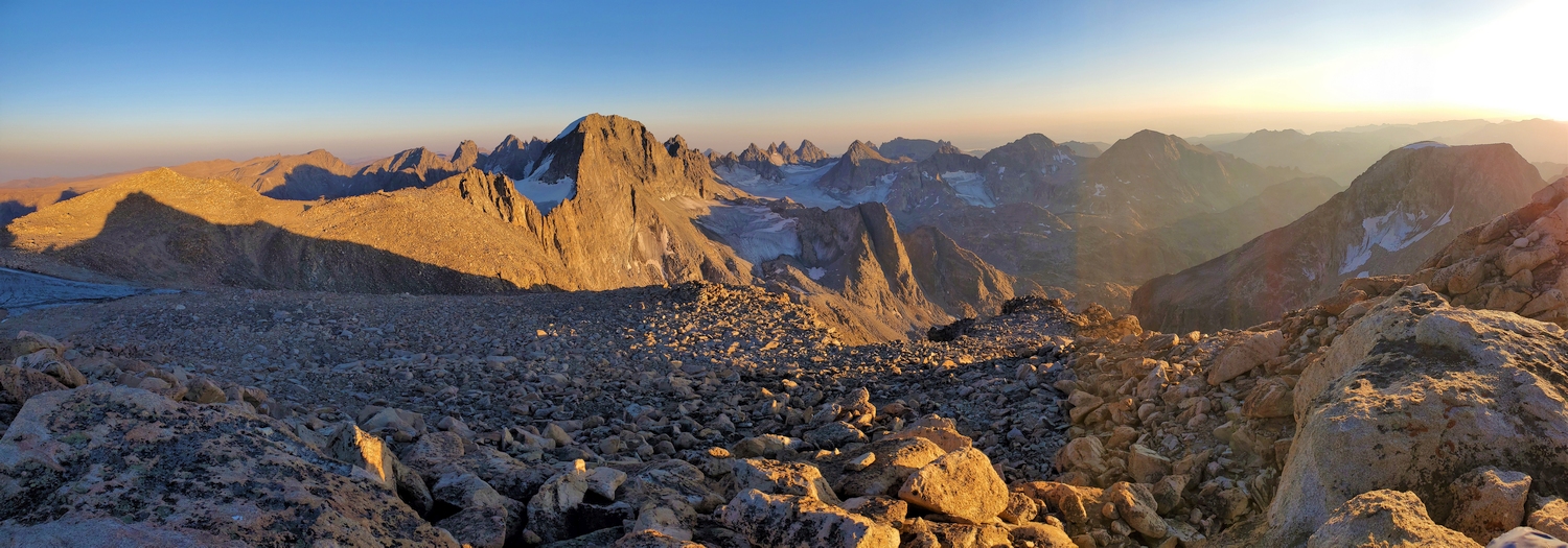
Figure out how to get onto the upper bench of the Gannet Glacier between Koven and Rampart; one option would be approaching as described for Koven’s Approach A. From anywhere on the glacier near the Continental Divide below Koven’s northeast face, the route is obvious. A broad and moderately angled snow chute rises from the Gannett Glacier to Rampart’s talus-clad summit, from which the proper summit of Bastion is just a short stroll away. The author made an enjoyable snow-climbing circuit by ascending this route and descending Route 2. By late summer, the snow is mostly gone and the route is unpleasant.
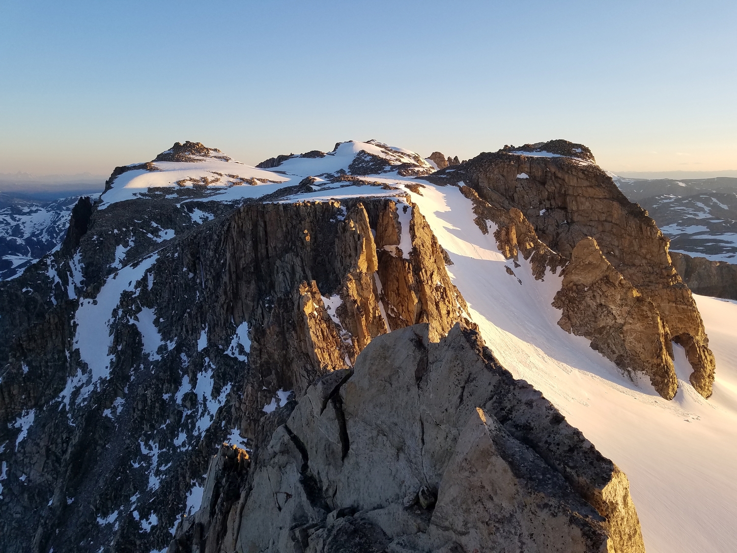
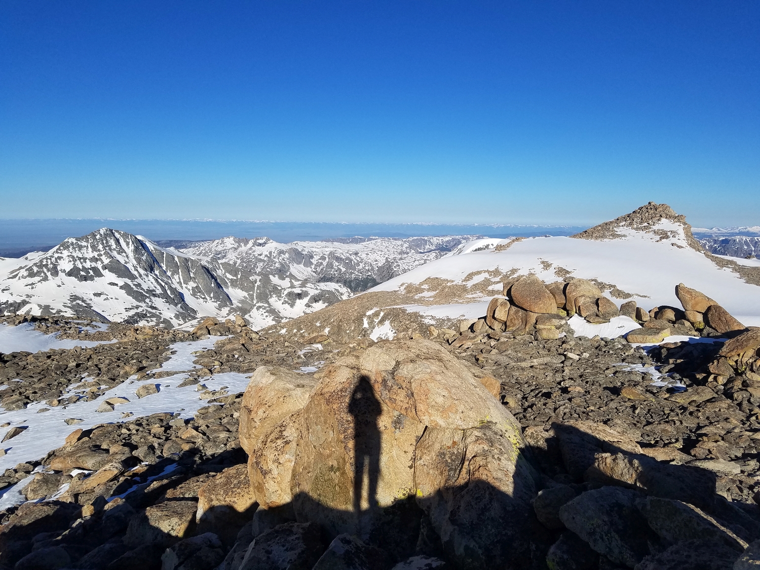
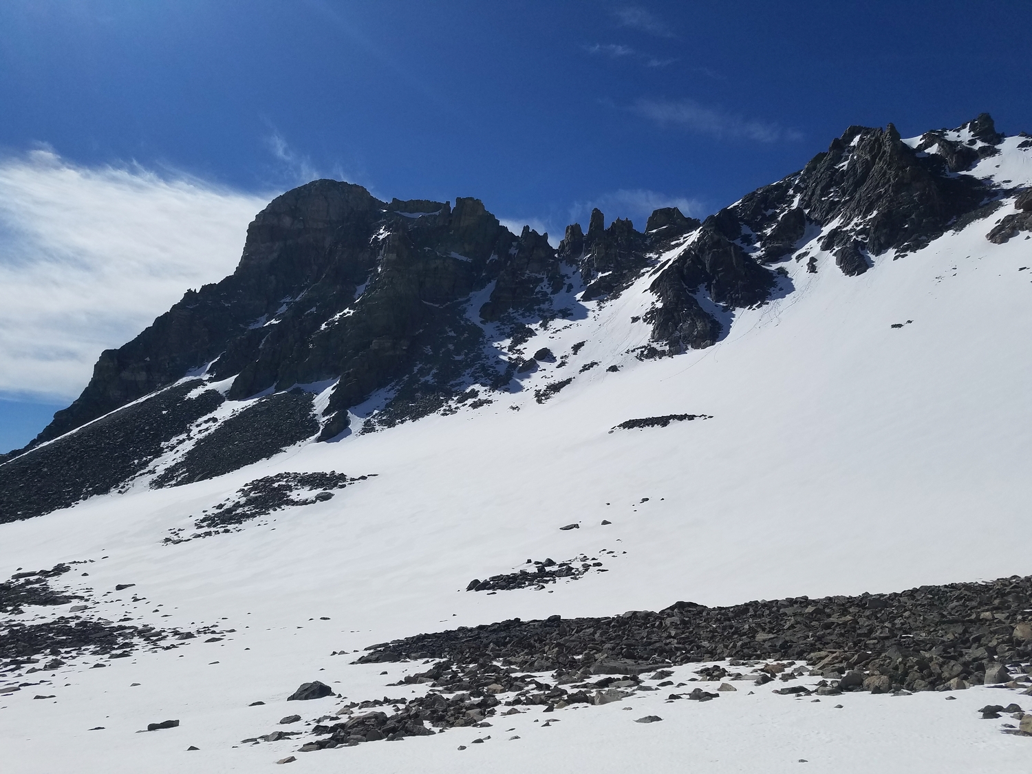
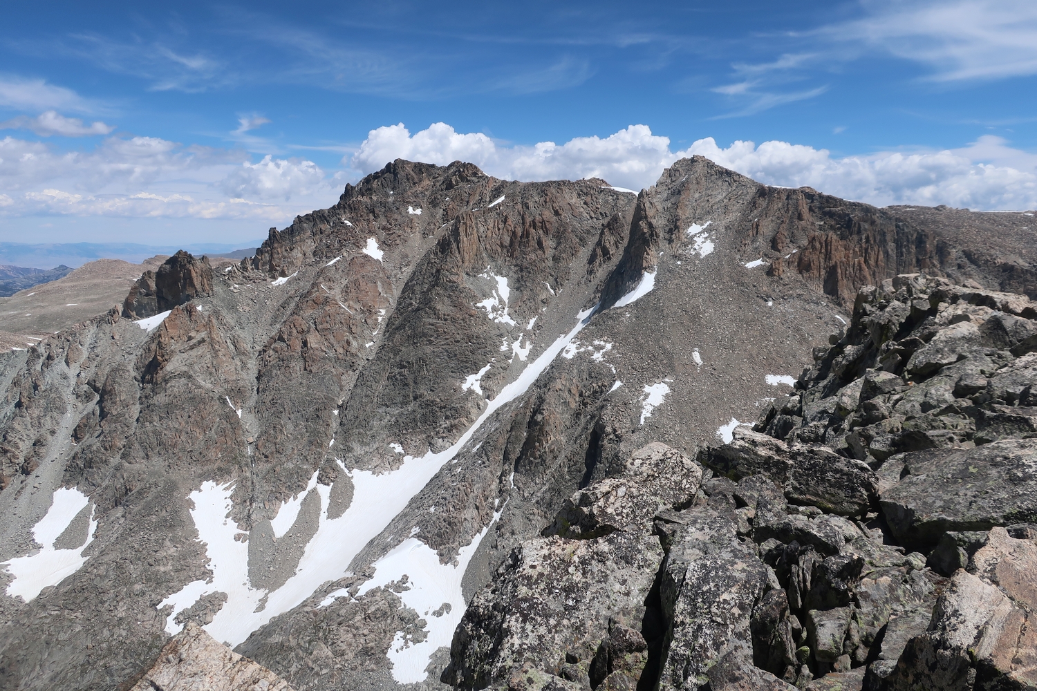
Route 4: West Ramp – Class 2+
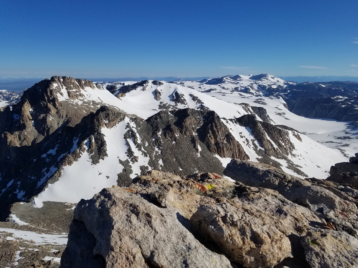
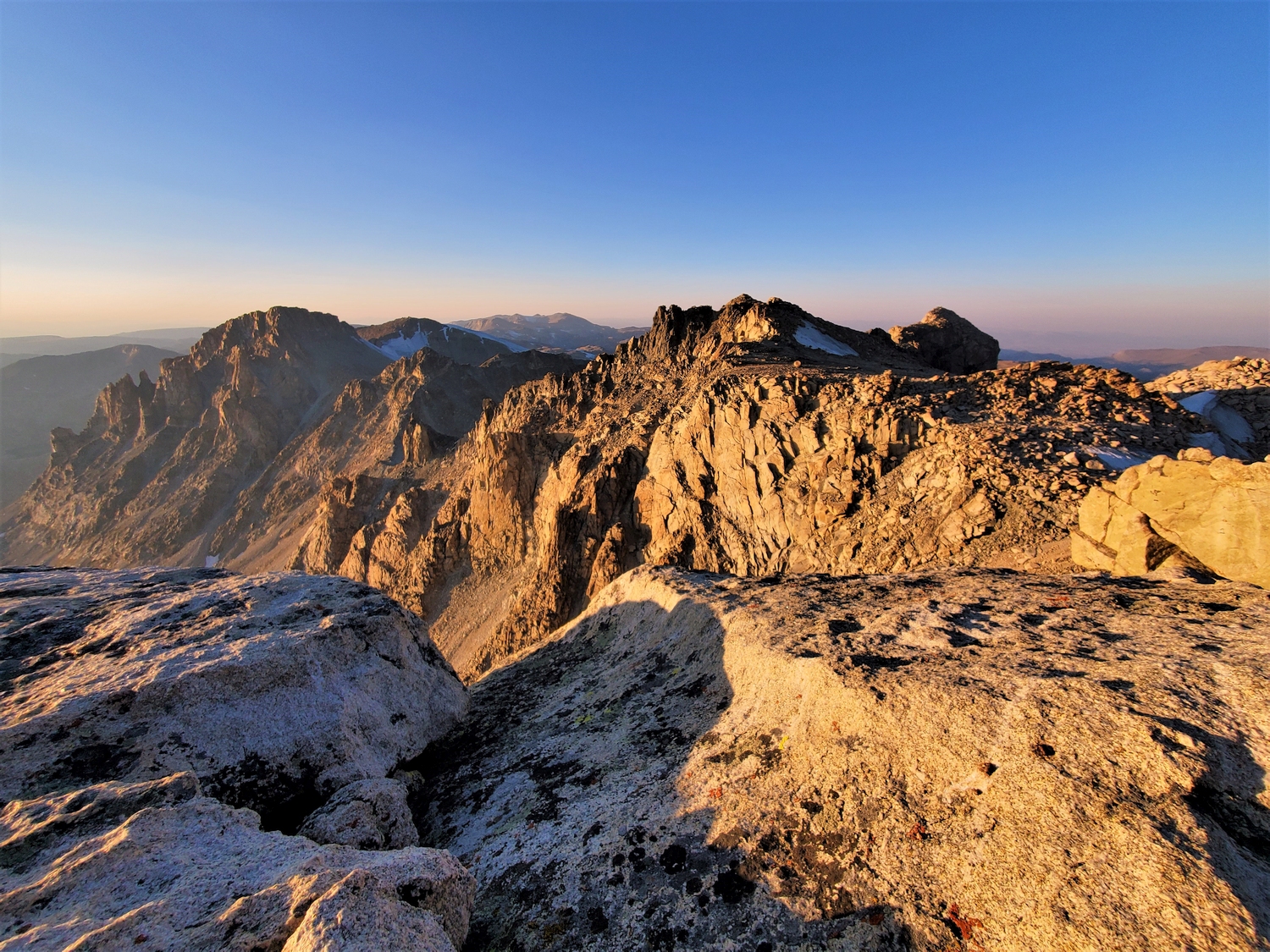
A rocky ramp extends towards Desolation Peak from Bastion’s western summit, called Rampart, which is connected to Bastion’s main peak by a high plateau. The route starts from the col between Rampart and Desolation; reach this point by hiking up a series of small valleys from Scott Lake or by climbing the glacial remnant at the head of the Tourist Creek drainage. The lower slope is broad and easy hiking, but higher up, cliffs impinge on the sides of the route, and the talus slope narrows to a shallow gully. The ramp tops out just below the summit of Rampart, from which Bastion is a short hike away. Combined with one of Bastion’s other routes, the west ramp provides one of the easiest Continental Divide crossings south of Flagstone.