Despite its status as one of a select few Wyoming 13ers with more than 1,000 ft. of topographic prominence, Bete Noire is much-maligned by earlier guidebooks as boring and out-of-the-way. Indeed, this old peneplain remnant is flat-topped and has no established technical routes, but its remote location between the North Fork of Bull Lake Creek and the Alpine Lakes district provides a sense of mystique. Additionally, since Bete Noire is a couple miles east of the Continental Divide, its summit provides an exceptional panoramic view of the Wind River crest from Knife Point to Febbas. This peak is sometimes also referred to as the Brown Cliffs Highpoint since it sits at the culmination of the Brown Cliffs ridgeline.
General Considerations
Bete Noire is one of only a few 13ers in the northern Wind River Range that don’t require any scrambling. However, easy does not equal safe, and the talus fields in this area are particularly unstable; caution is advised whenever crossing loose slopes. The route between Lake 11495 and Lake 10980 (on the east side of Bete Noire) is unofficially named Bloody Hell Pass and was the site of a fatal accident when a backpacker became inextricably trapped by a shifting talus block. Do not let your guard down in these remote mountains, even when the route seems “easy.”
Route 1: West Slopes – Class 2, Mellow Snow
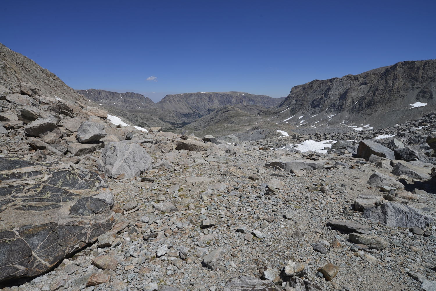
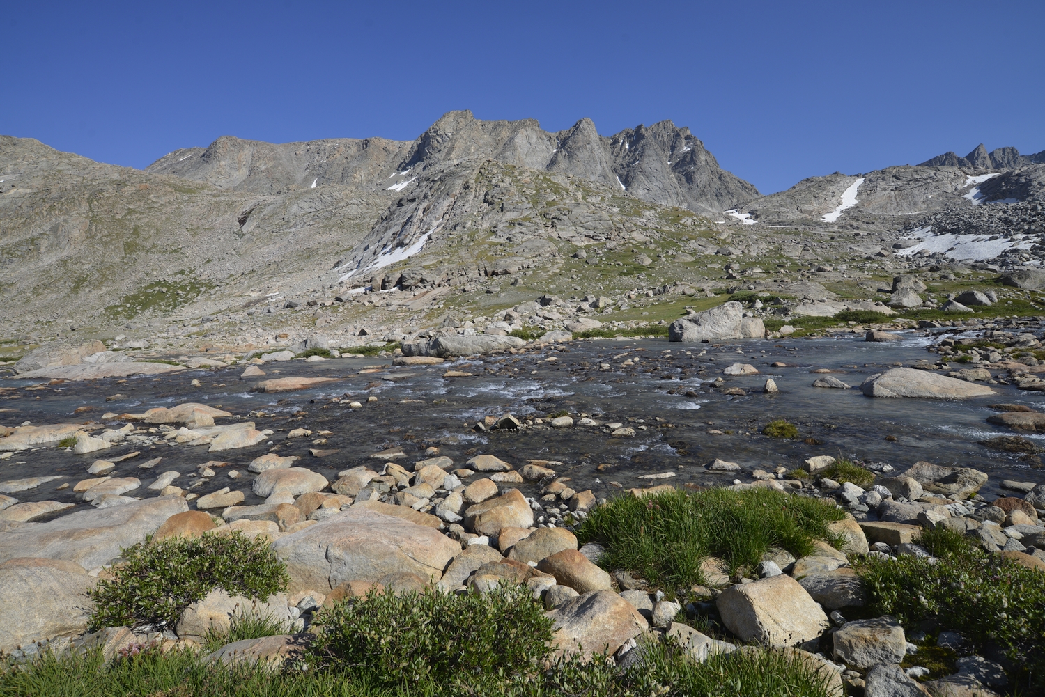
Similar to Knife Point Mountain’s standard route, the main challenge is in reaching Alpine Lakes Pass, the col between Knife Point Creek and the Alpine Lakes. The pass can be gained as part of a longer backpacking trip or via a traverse of the Knife Point Glacier (mellow snow, potentially crevassed, icy in the late season) from Indian Pass after approaching from the Island Lake area.
From Alpine Lakes Pass, hike northeast up steep and unstable talus, skirting outcrops on the ridge to climber’s left. When feasible, traverse right on loose scree and unstable blocks to reach the broad plateau east of Point 12860. From here, climb east up another talus field to reach the summit area.
Looking into the Knife Point Creek watershed from Indian Pass, with North Indian Pass (to Dry Creek) in the distance (2016)
Bete Noire, also called UN Point 13198 or the Brown Cliffs Highpoint, looms above the Knife Point moraine (2016)
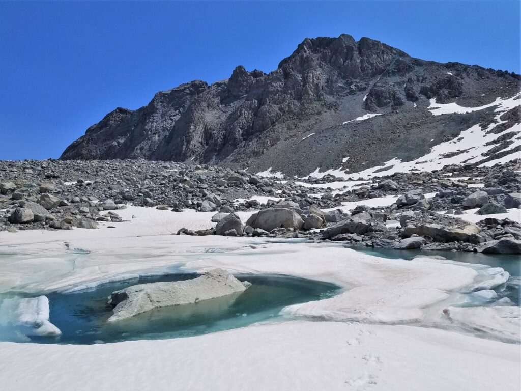
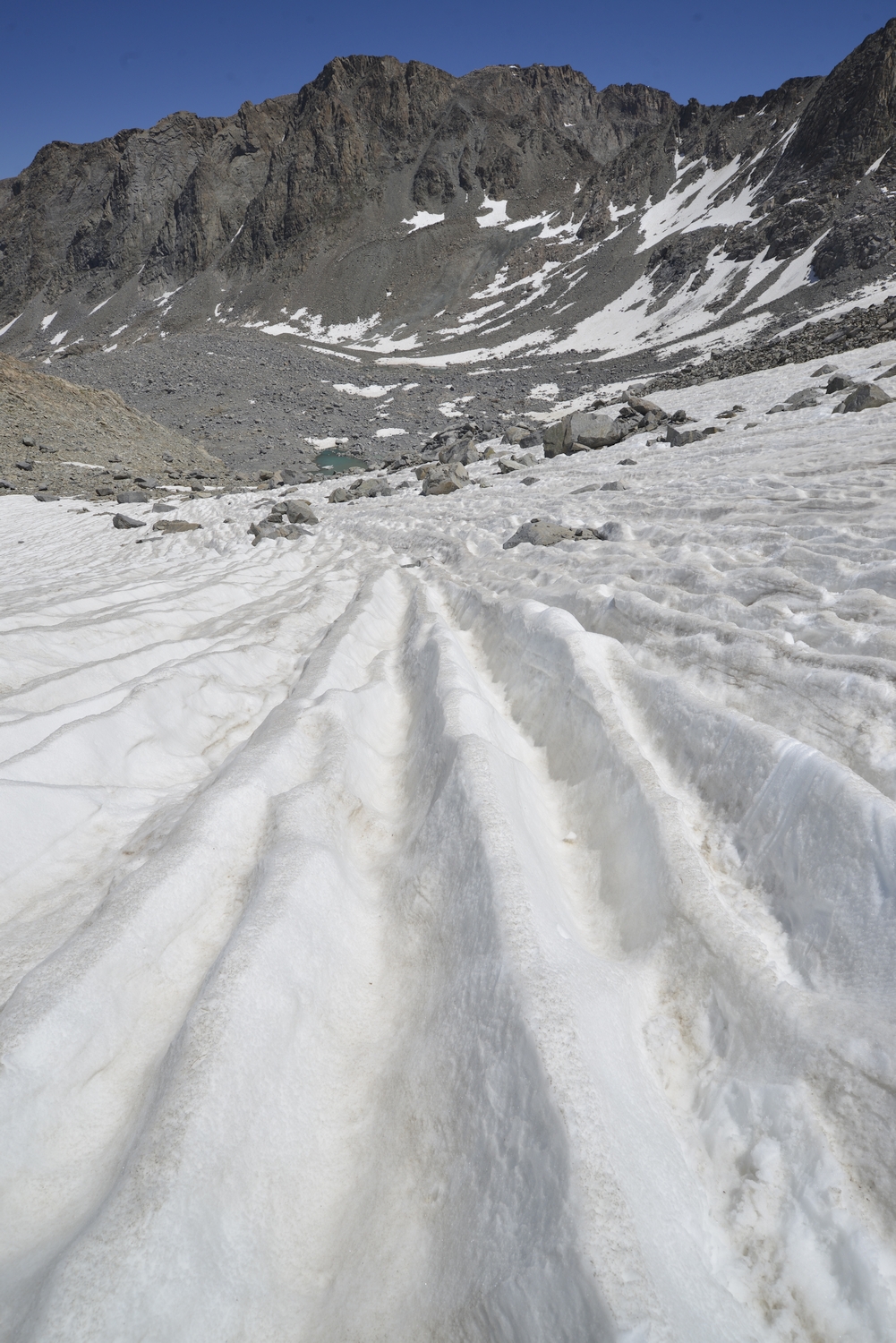
Descending snowfield at the edge of the Knife Point Glacier (2016)
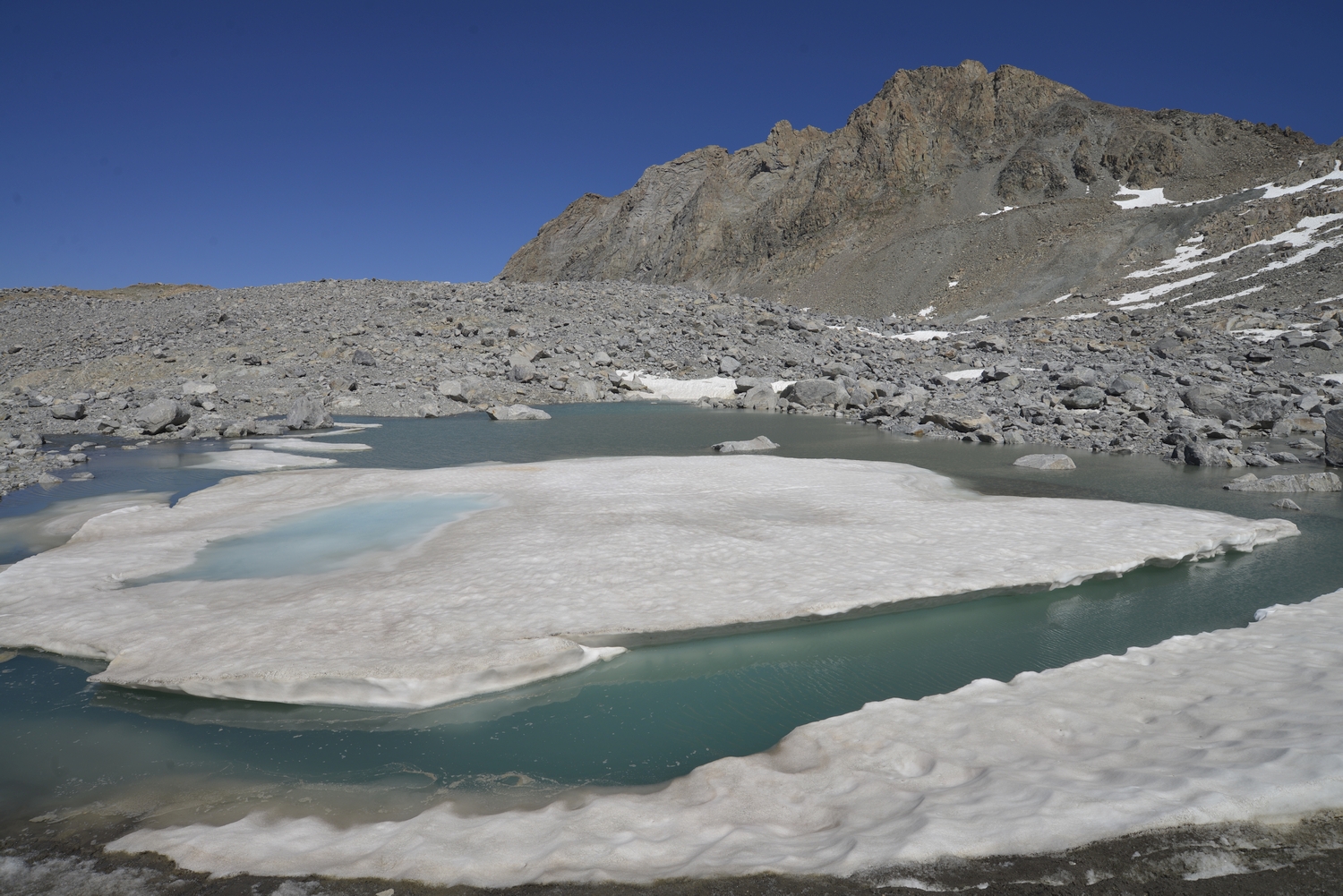
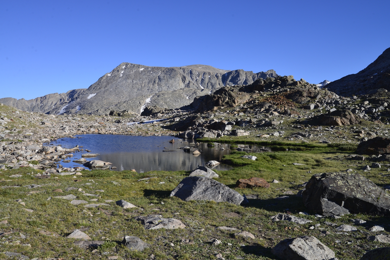
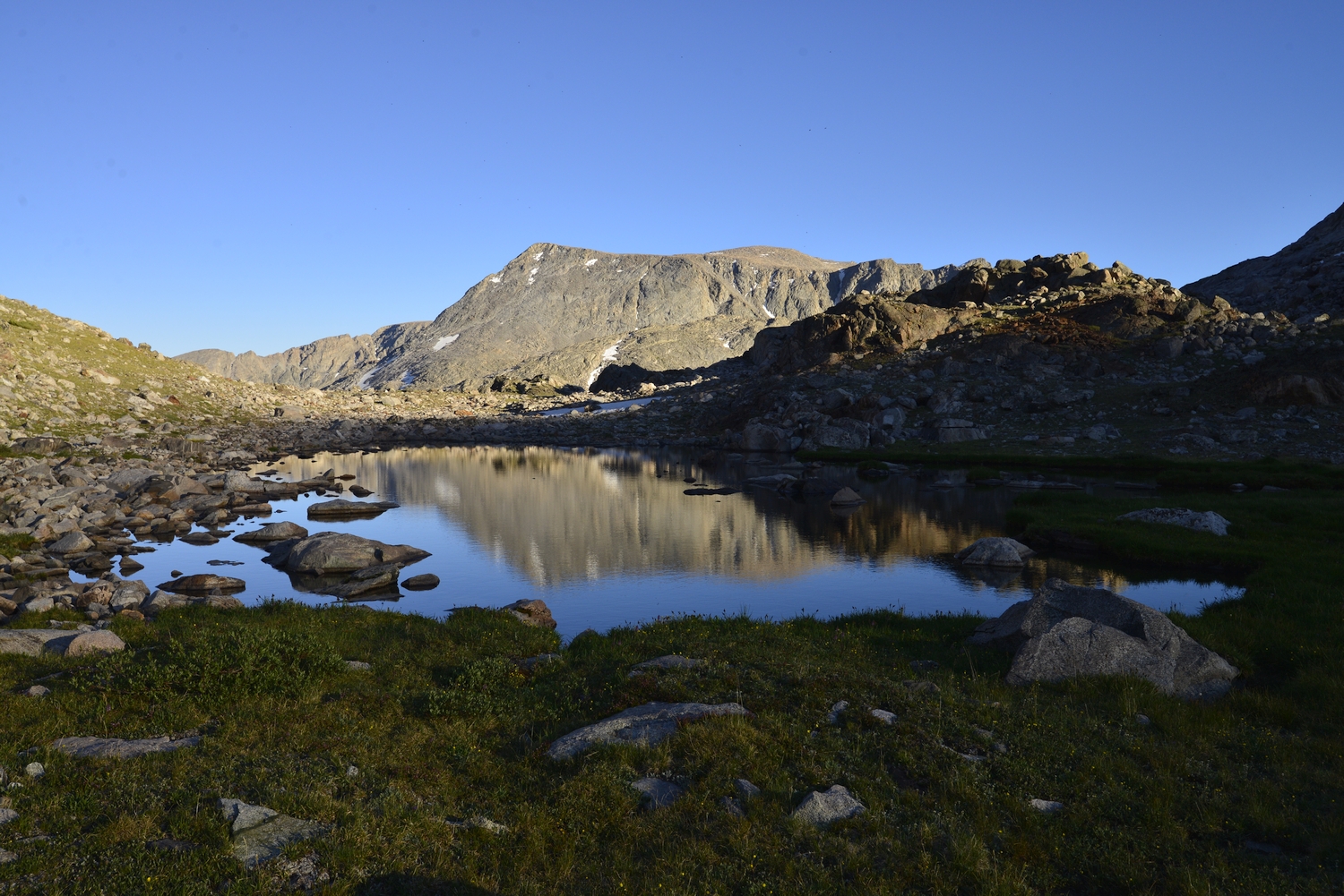
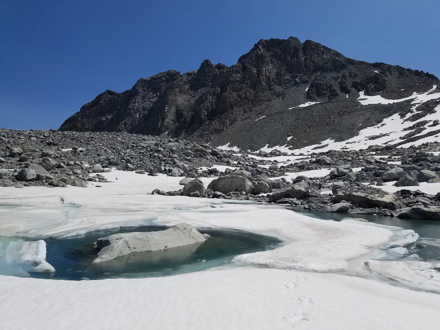
The slopes of Bete Noire rising above a glacial lake at the terminus of the Knife Point Glacier (2016)
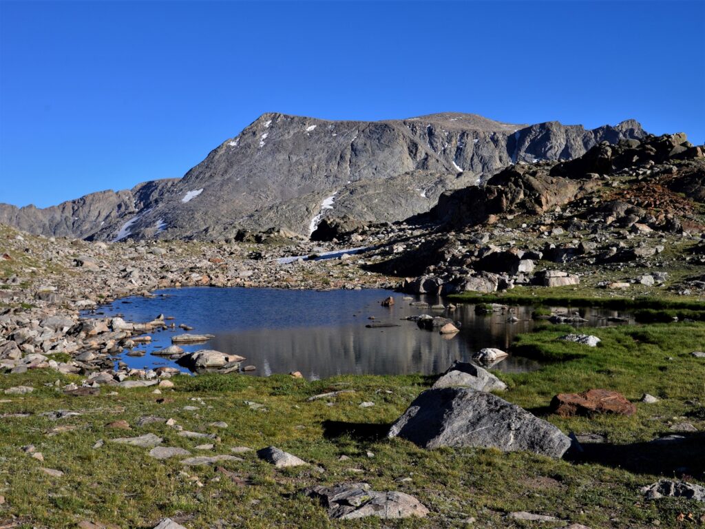
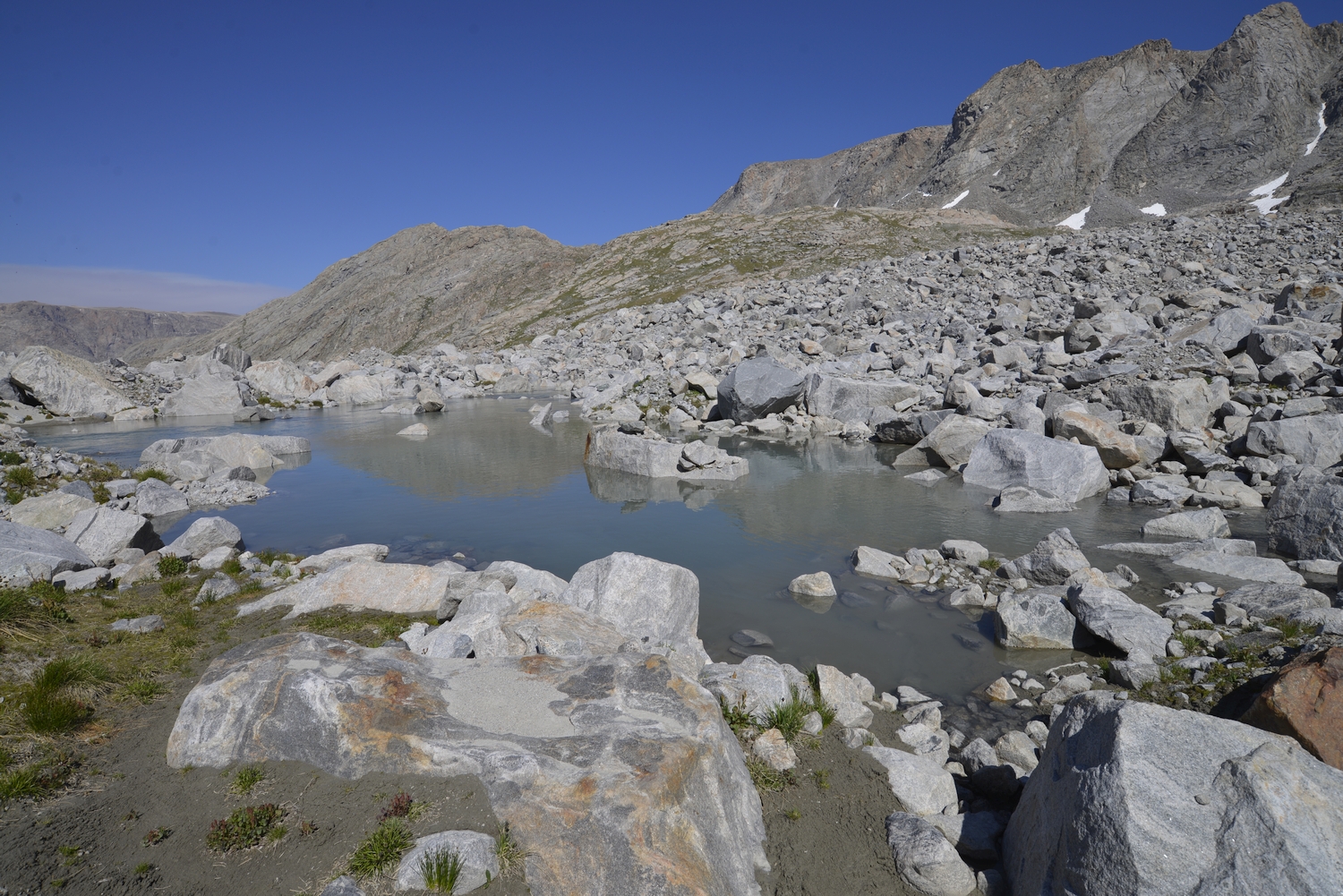
Headwaters of Knife Point Creek (2016)
Despite its obscurity, Bete Noire is a complicated massif deserving of more exploration, seen here rising above Knife Point Creek (2016)
Bete Noire from Panorama Pass in the North Fork of Bull Lake Creek (2016)
This peak is the only 13er entirely encompassed in the Bull Lake Creek watershed (2016)
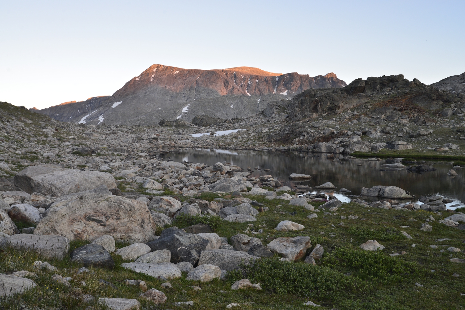
Alpenglow on Bete Noire as seen from near camp (2016)
Telephoto view of Bete Noire from Mount Warren (2020)
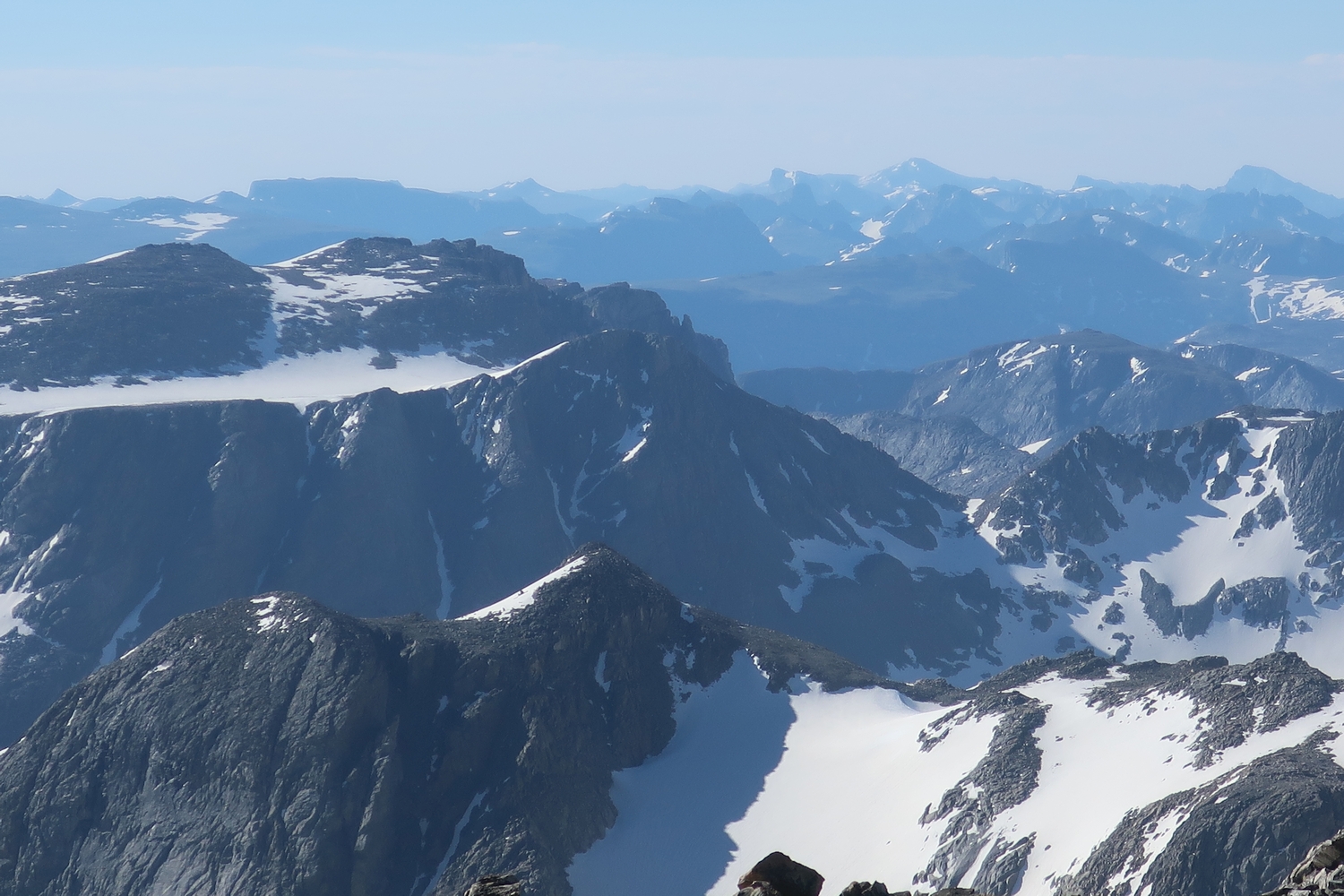
Bete Noire is one of the Wind River Range’s many peneplain remnants, a flat plateau surrounded by steep glacial canyons, as seen here from the upper slopes of Jackson (2020)
Descending Knife Point Mountain and hiking towards Bete Noire, the bulky mountain in the distance, with Nebraska Point (a ranked 12er) on the right (2020)
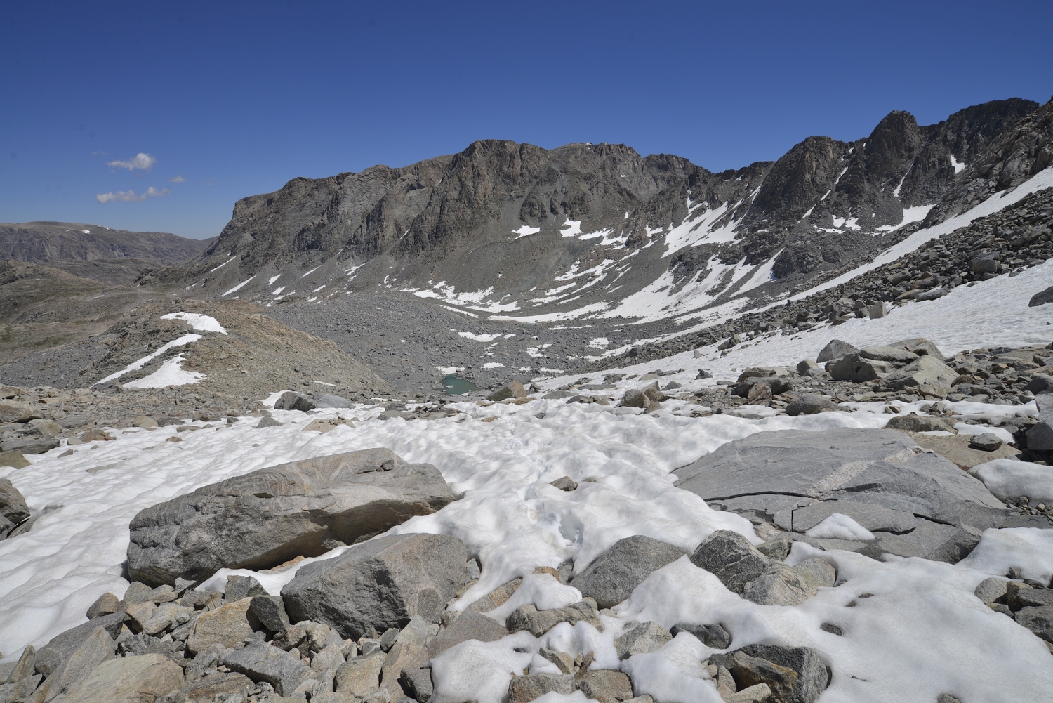
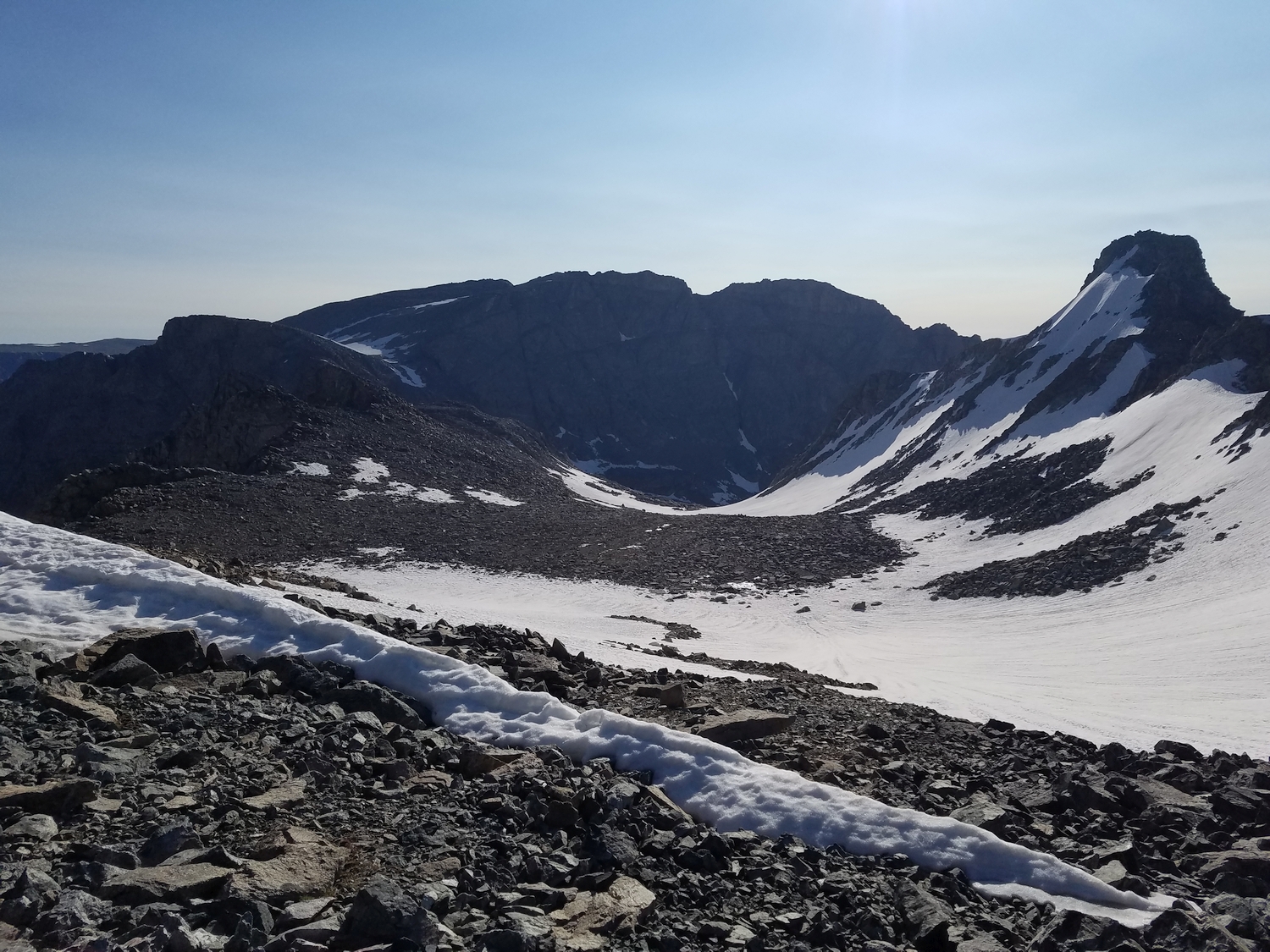
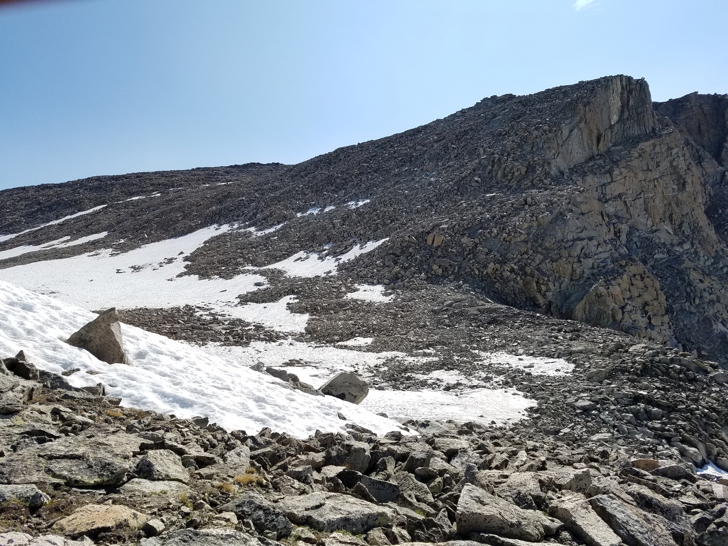
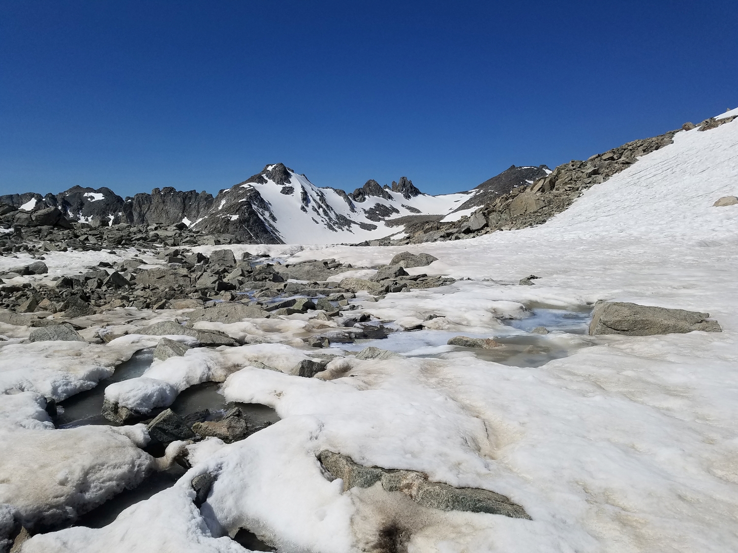
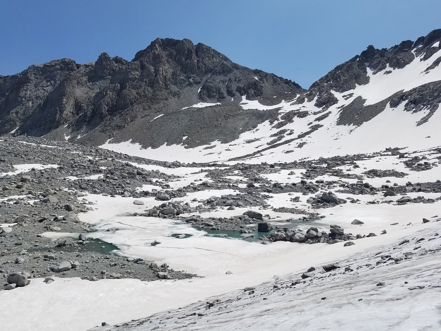
Bete Noire is most conveniently climbed via scree slopes above Alpine Lakes Pass, which connects the Knife Point Glacier to the Alpine Lakes region (2020)
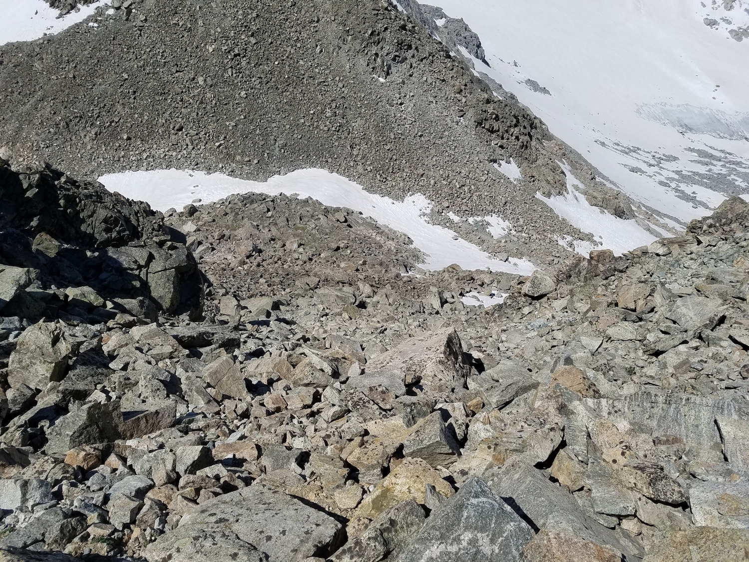
Starting up the unstable talus and scree slopes (2020)
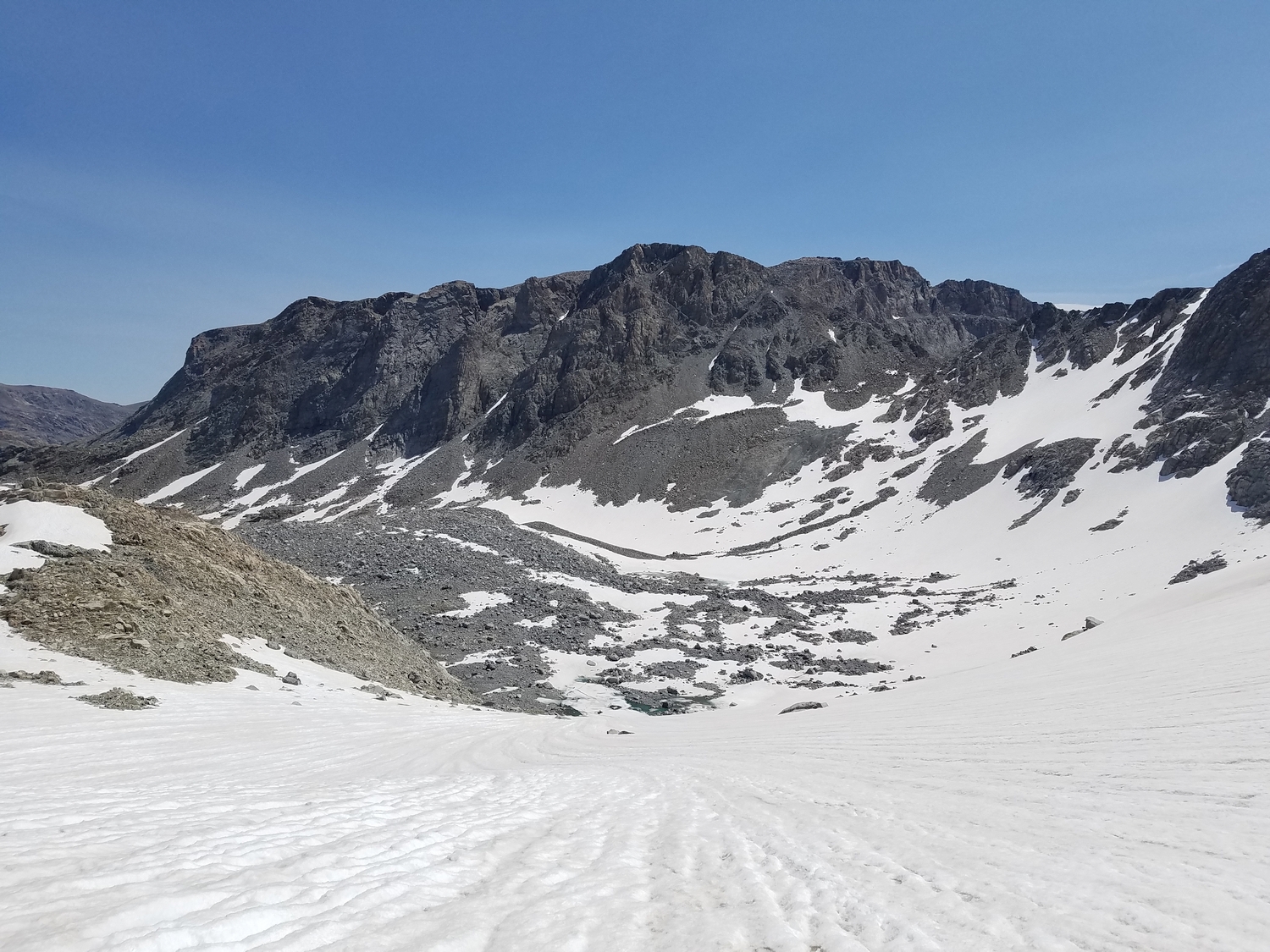
Hiking towards the summit on top of the plateau (2020)
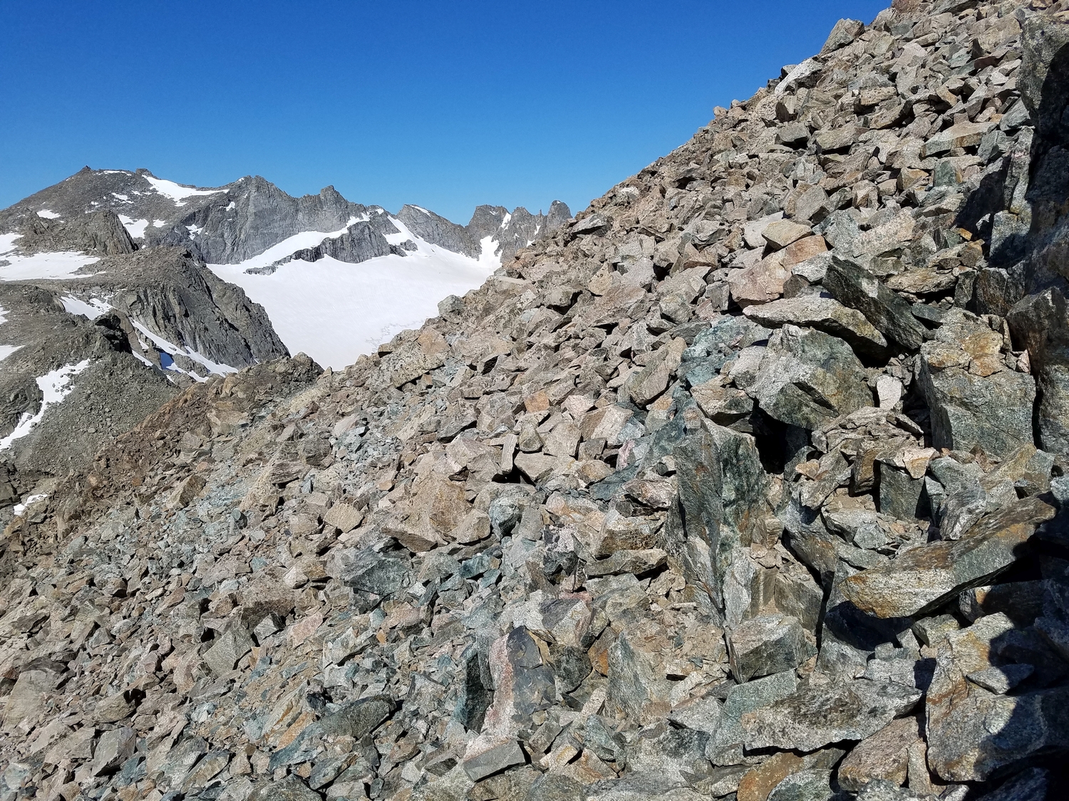
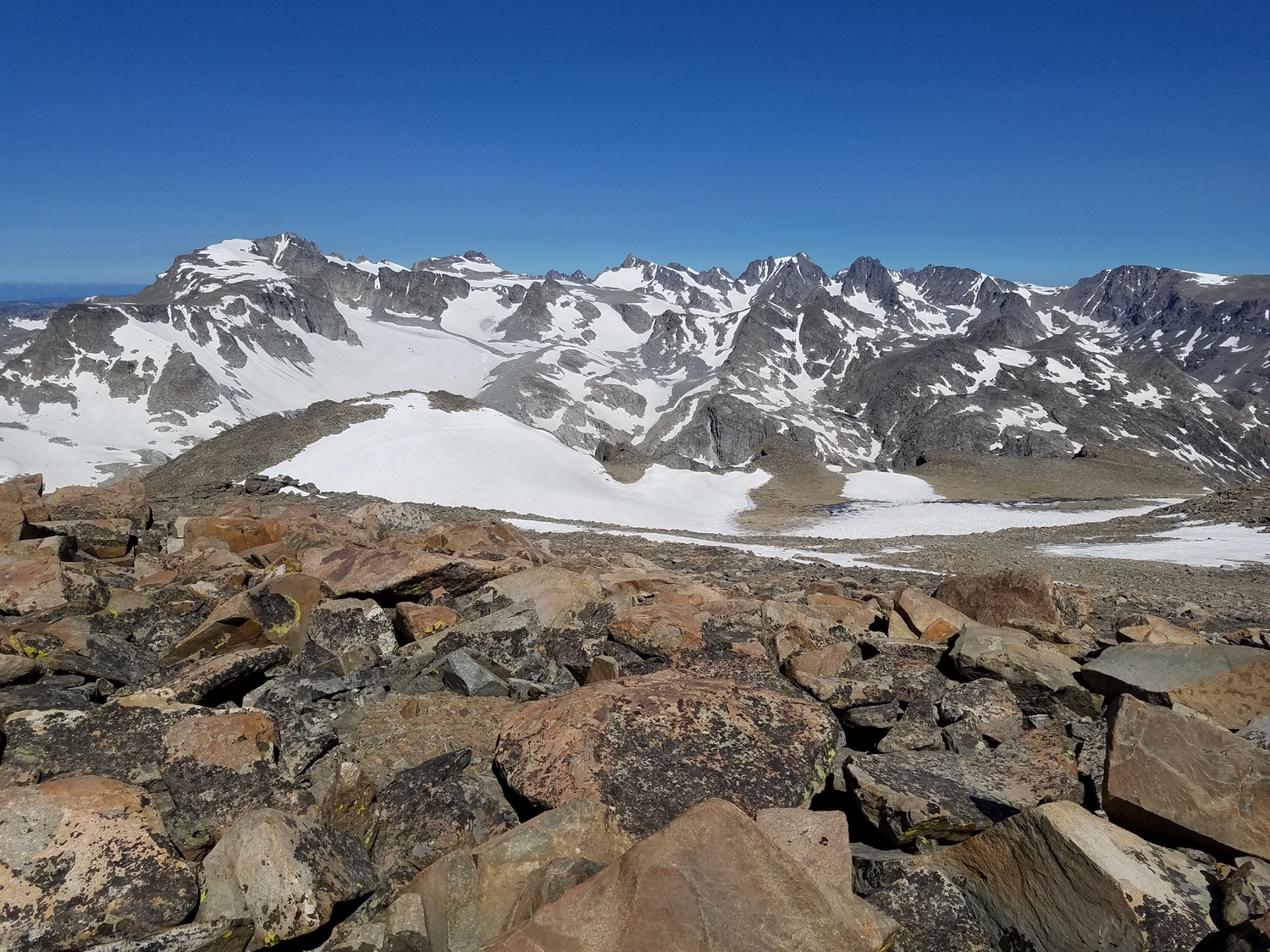
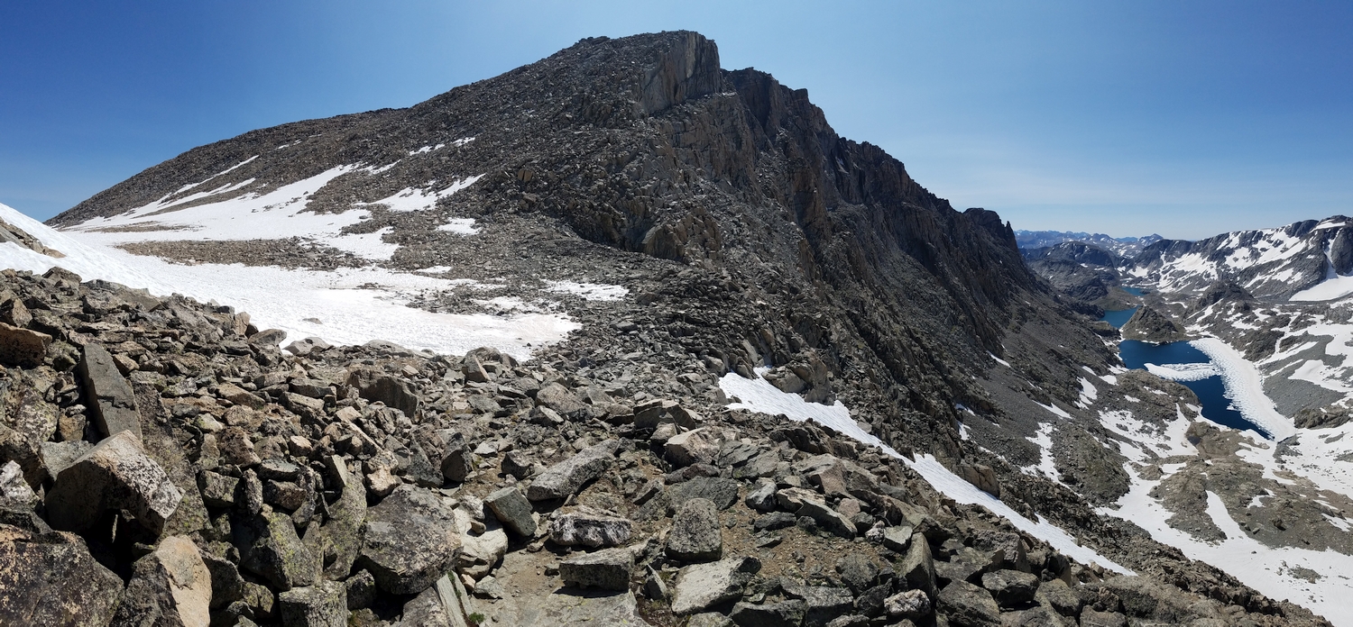
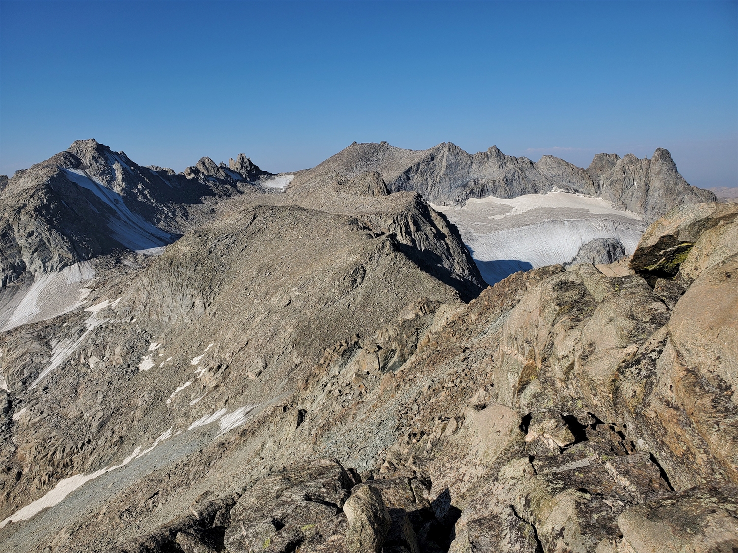
View back to the Knife Point-Nebraska Point massif, with the Knife Point Glacier on the far right (2020)
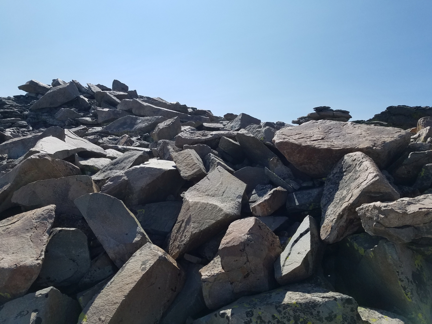
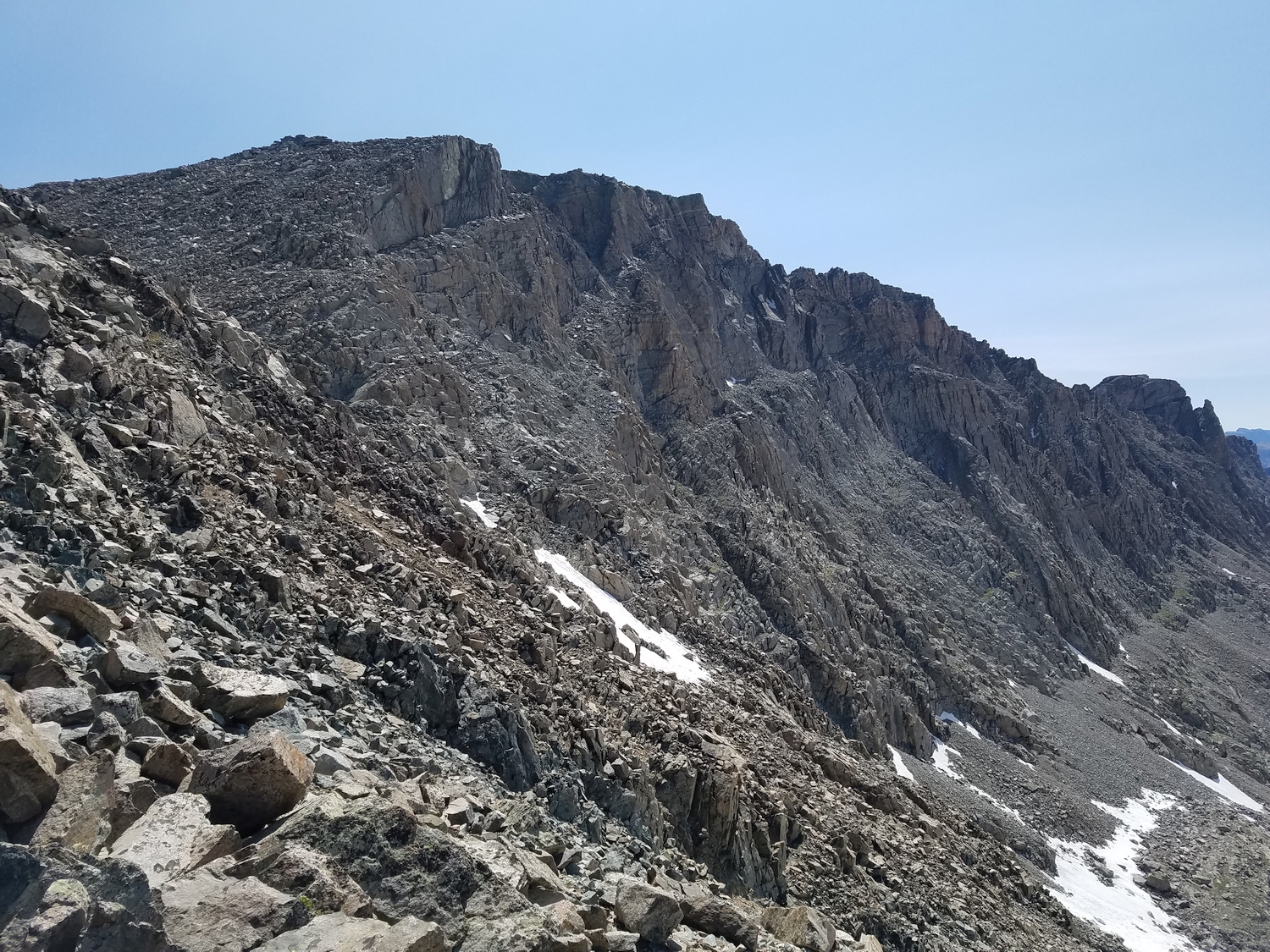
A blocky mess of jumbled talus guards the summit (2020)
Summit of Bete Noire, looking southeast over the Alpine Lakes region (2020)
View into the North Fork of Bull Lake Creek from on top of Bete Noire, with the Absaroka Range on the distant horizon (2020)
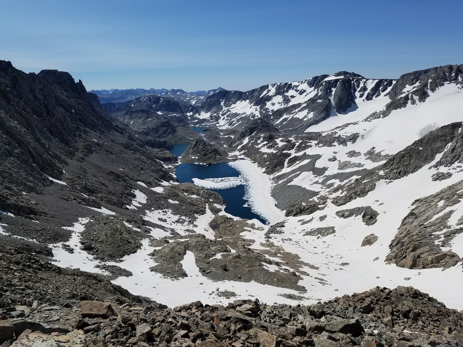
Looking down Bete Noire’s southeast cirque to an area known as Bloody Hell Pass (2020)
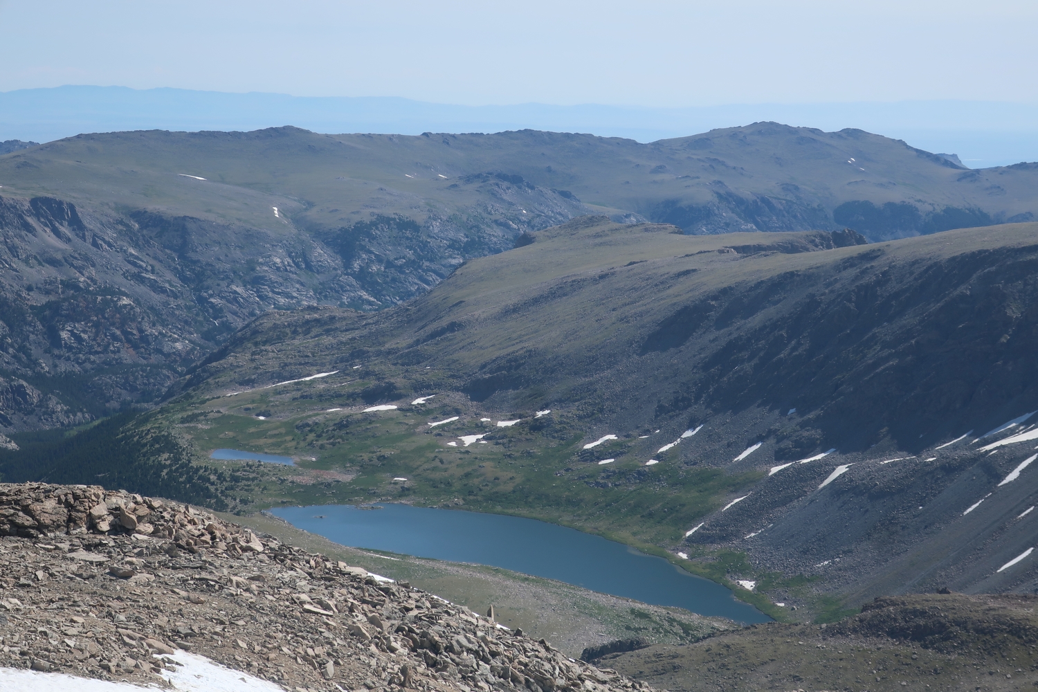
Telephoto view of Lake 10743 in the North Fork of Bull Lake Creek (2020)
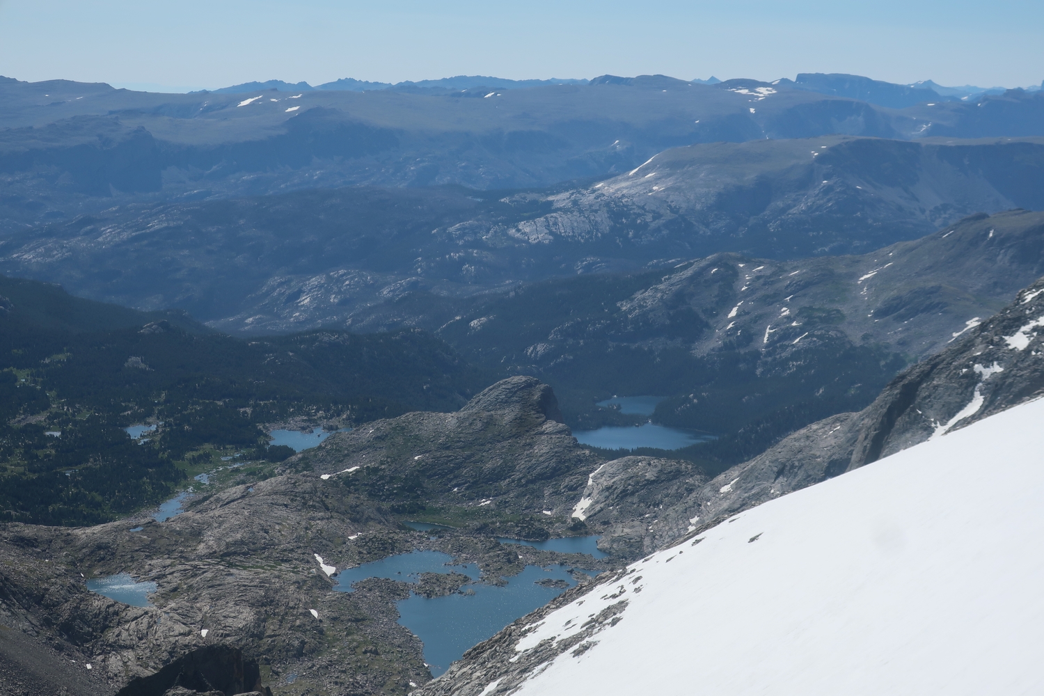
Closeup view of Lake 10980 and the more-distant Flying Monkey Lake in the Middle Fork of Bull Lake Creek (2020)
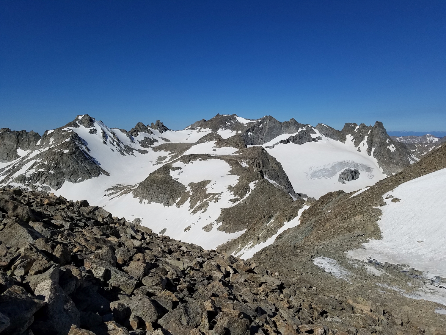
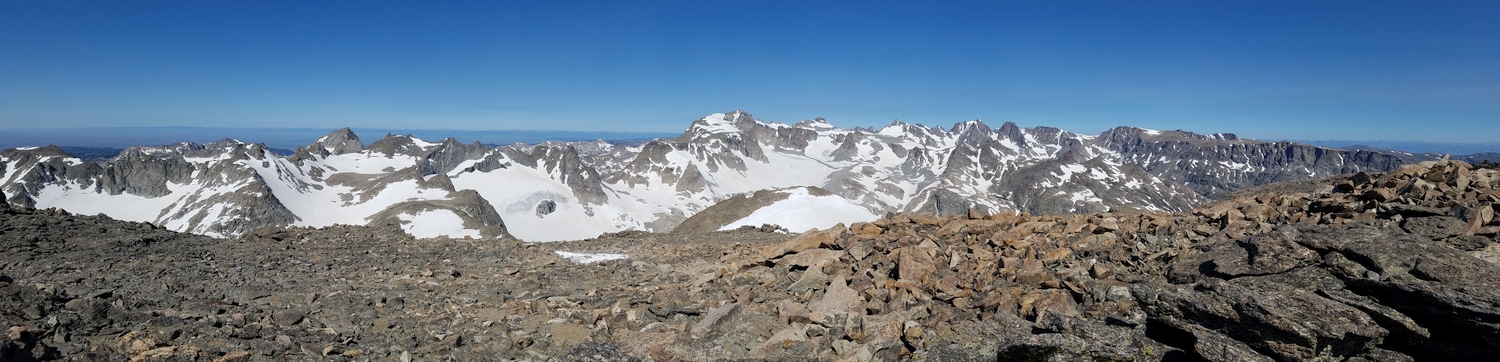
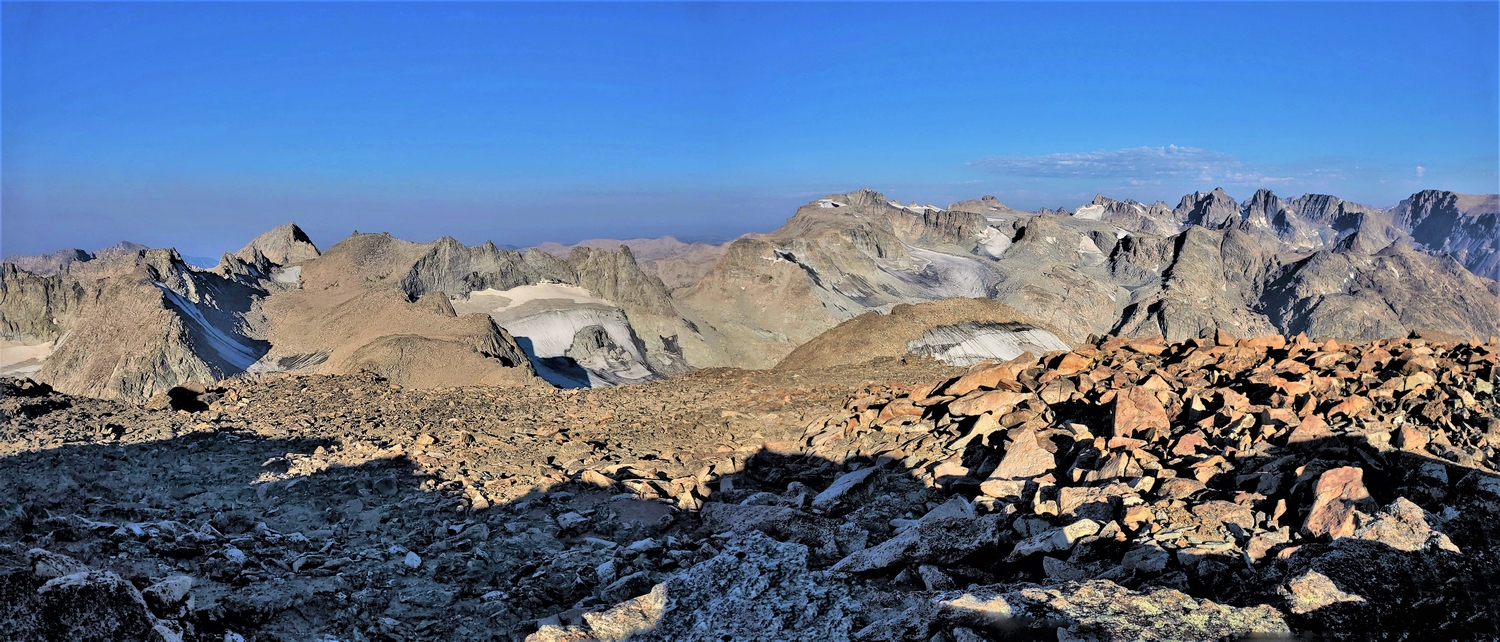
Since Bete Noire is set back from the crest of the range, it offers superb views, as seen in this panorama showing more than a dozen 13ers (2020)
It was difficult to tell which particular outcrop was the highest, so I visited all of the candidate highpoing rocks (2020)
Descending colorful yellow talus with some of Wyoming’s best mountains spreading out all around (2020)
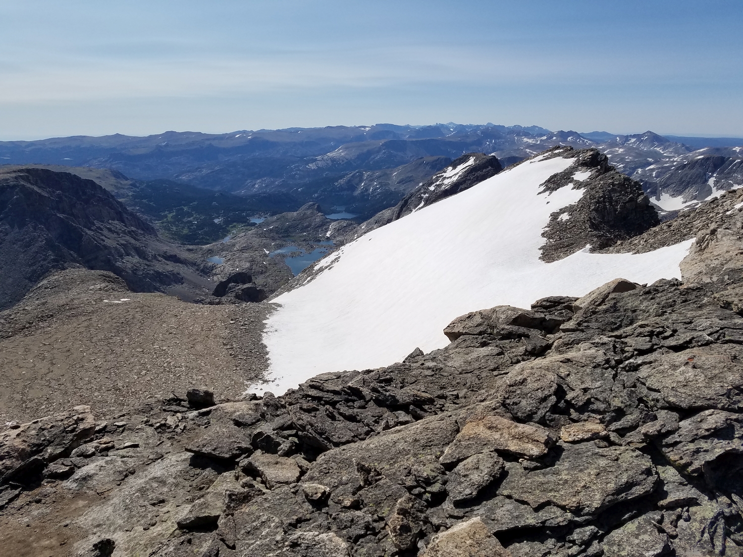
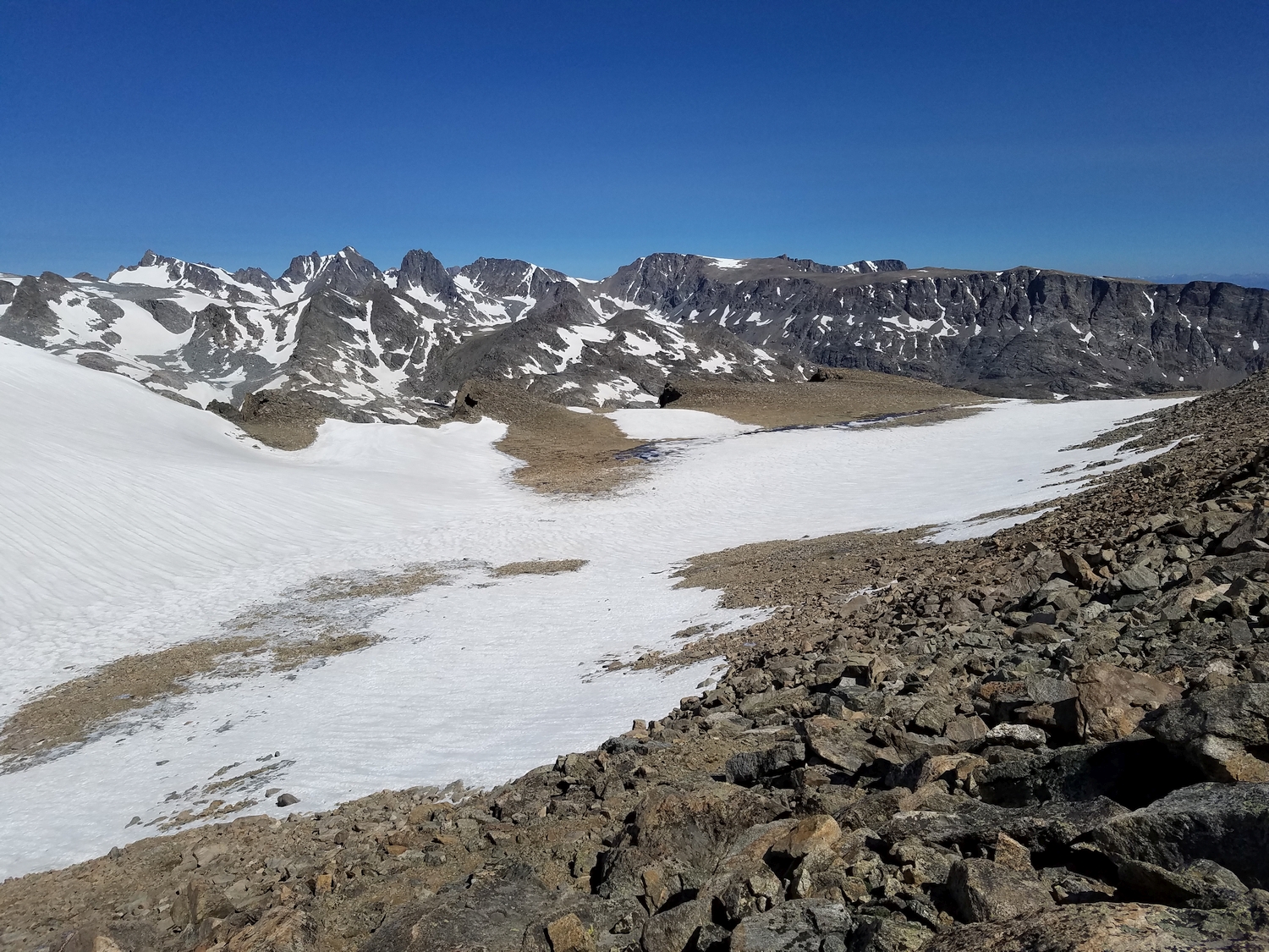
Some July snow still lingering in a slight valley on top of Bete Noire’s main plateau (2020)
Nebraska Point rises in the distance (2020)
Looking back at my route on Bete Noire (2020)
Steep, rotten cliffs drop west into the Alpine Lakes Valley (2020)
A good view of the Alpine Lakes, with Lake 11335 closest (2020)
Descending a bit of steep talus to return to Alpine Lakes Pass (2020)
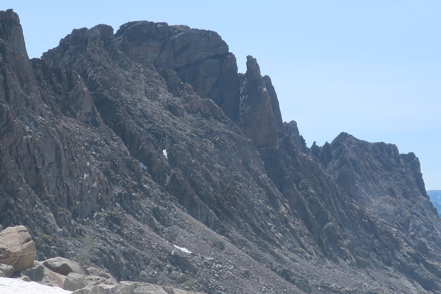
Zoomed view of the Brown Cliffs, a ranked 12er (2020)
Since the day is still early, I hang out for a bit at Alpine Lakes Pass taking pictures (2020)
Bete Noire above the glacial lake in the Knife Point moraine (2020)
Ascending the Knife Point Glacier to return to the Titcomb Basin region (2020)
A departing view of Bete Noire in all its looming bulk (2020)
Summit panorama from Bete Noire, my third 13er of the day after Harrower and Knife Point. This was the best I felt all day, but it wouldn’t last long. My breathing troubles started again in earnest as I climbed up Indian Pass and headed for Jackson.
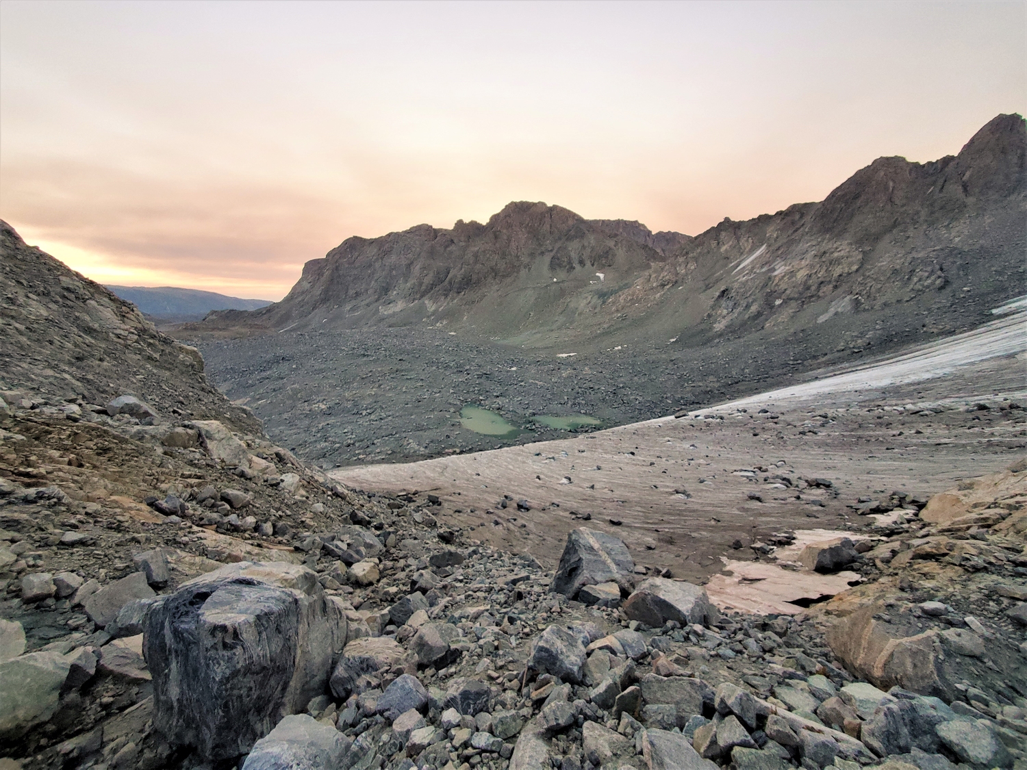
Looking back at Bete Noire and the Knife Point Glacier from near the crest of Indian Pass.
Looking east into the Bull Lake Creek watershed from Indian Pass. I couldn’t tell if the haziness was from smoke or clouds, but it turned out to be a mix of both.
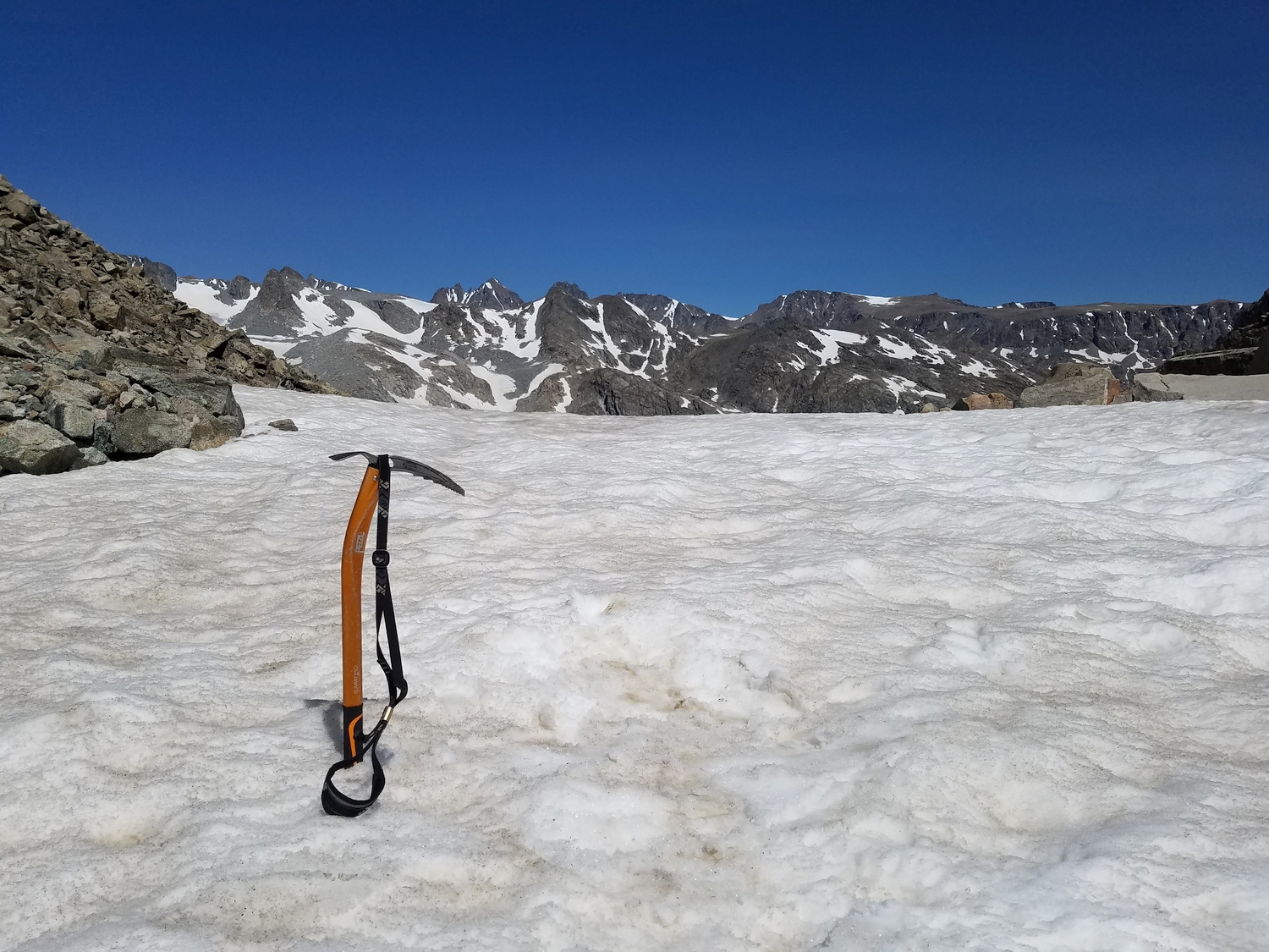
To approach Bete Noire (center), I descended Indian Pass and put on crampons to walk across the icy but low-angle Knife Point Glacier.
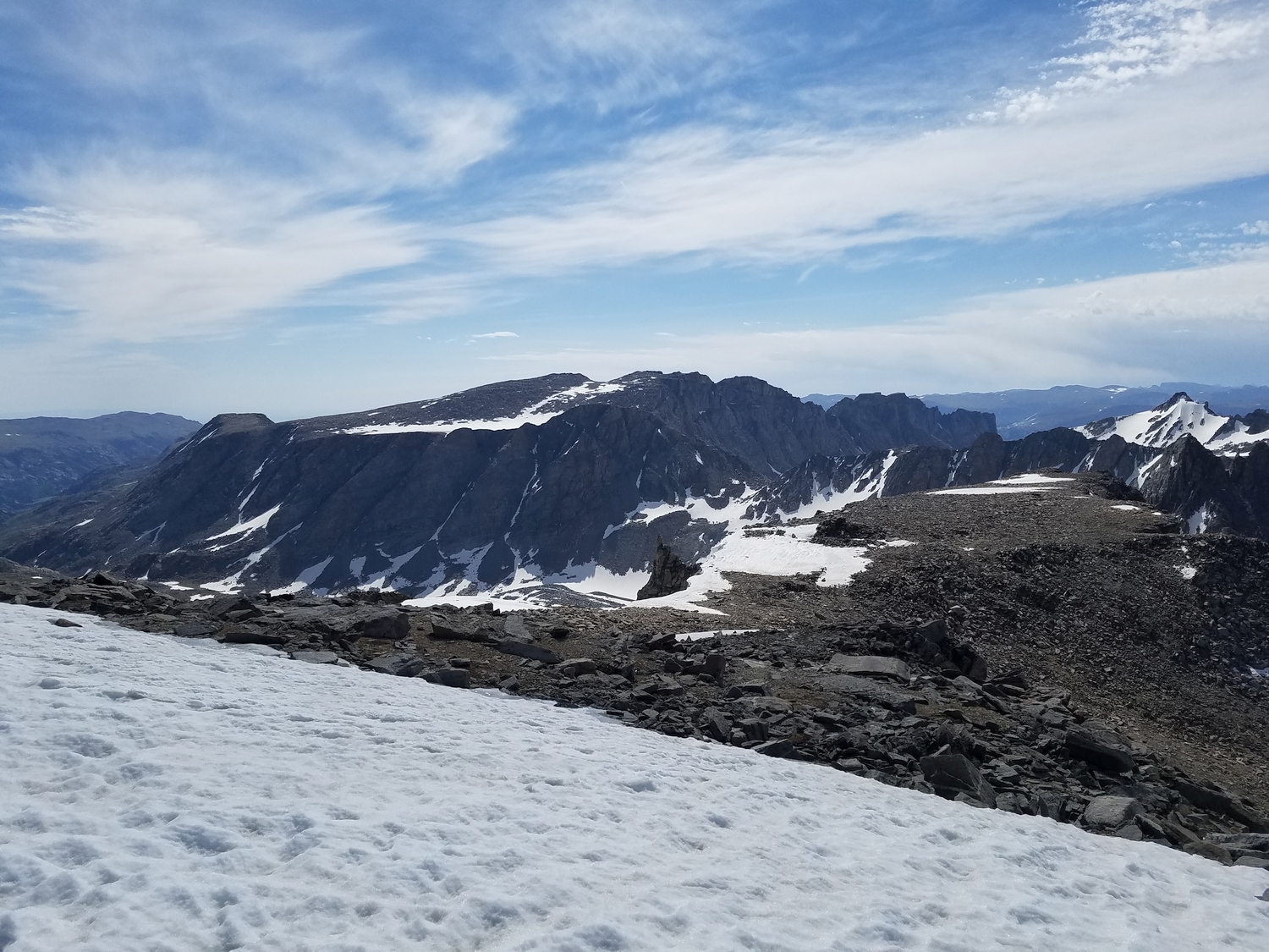
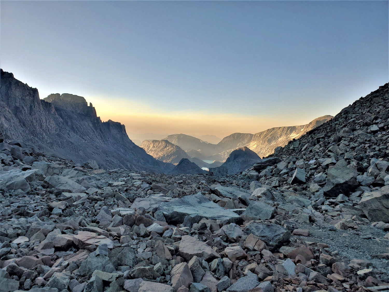
Bete Noire is one of the more inaccessible 13ers, and the standard access route requires crossing not one but two major passes. This view looks south from Alpine Lakes Pass into the Alpine Lakes valley, which was filled with smoke from the nearby Washakie Park Fire.
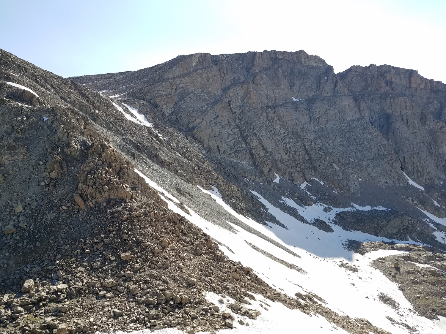
Getting higher on Bete Noire, one of Wyoming’s few 13ers with a class 2 route.
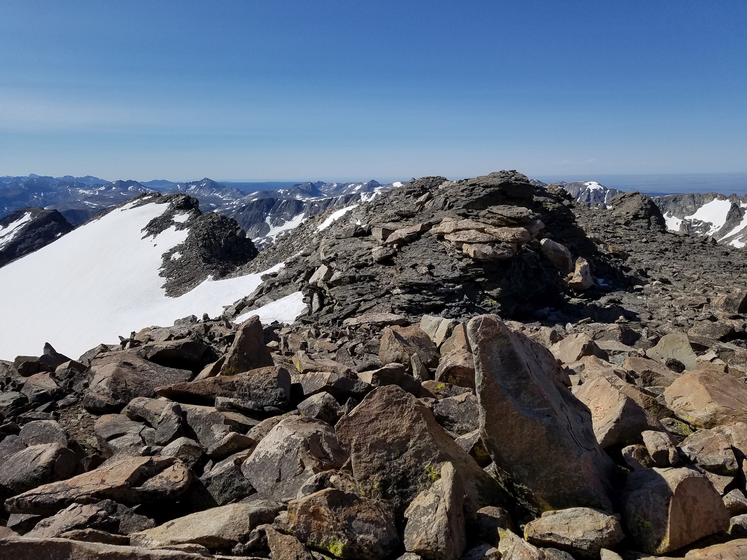
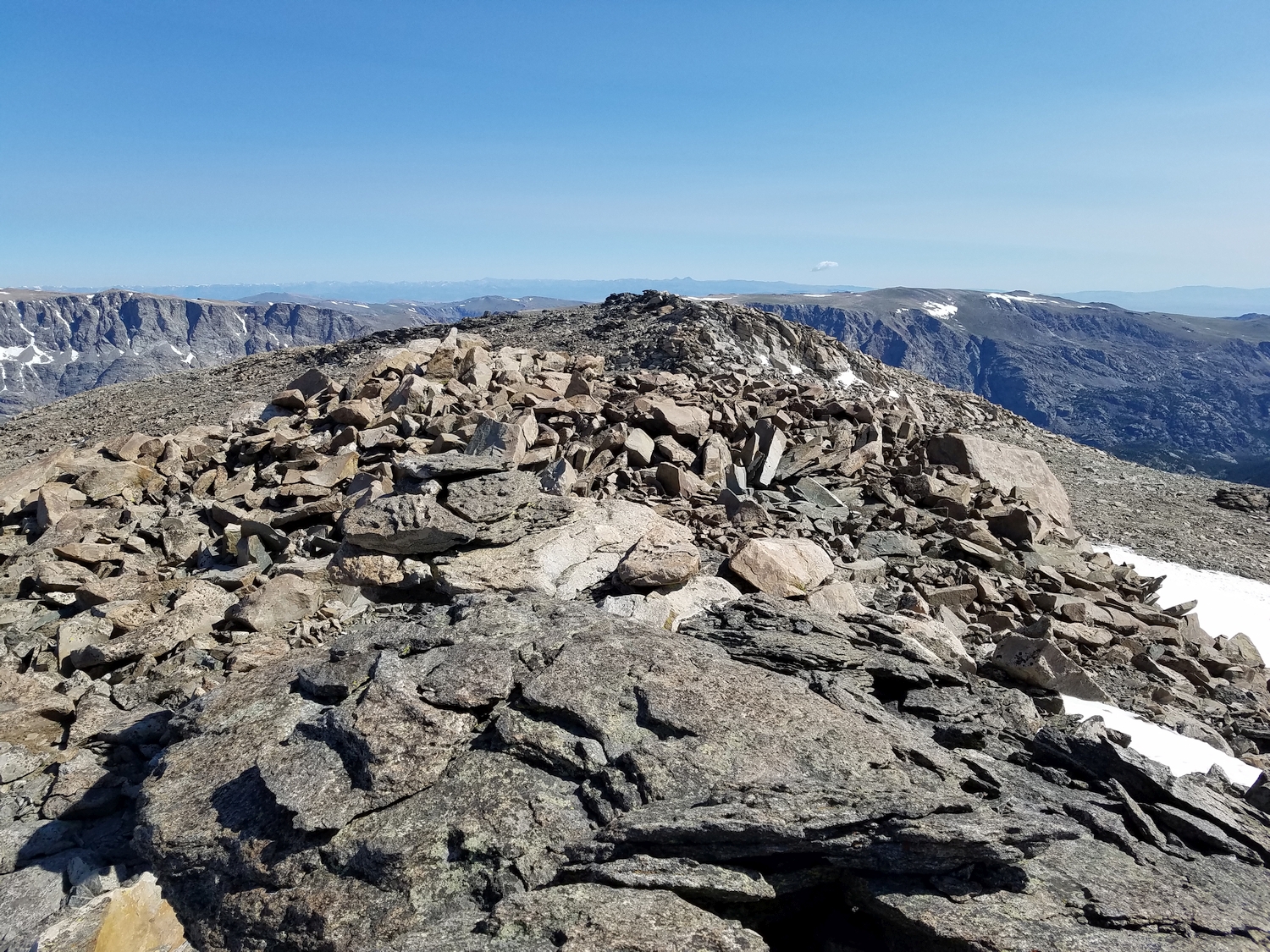
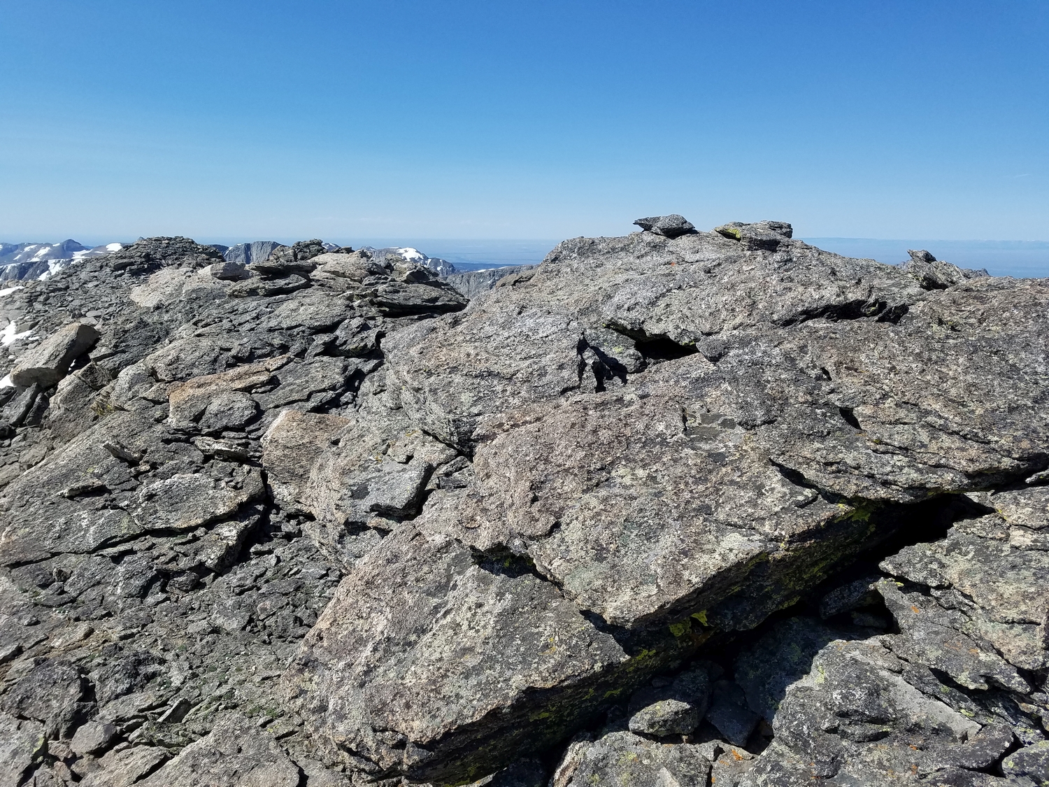
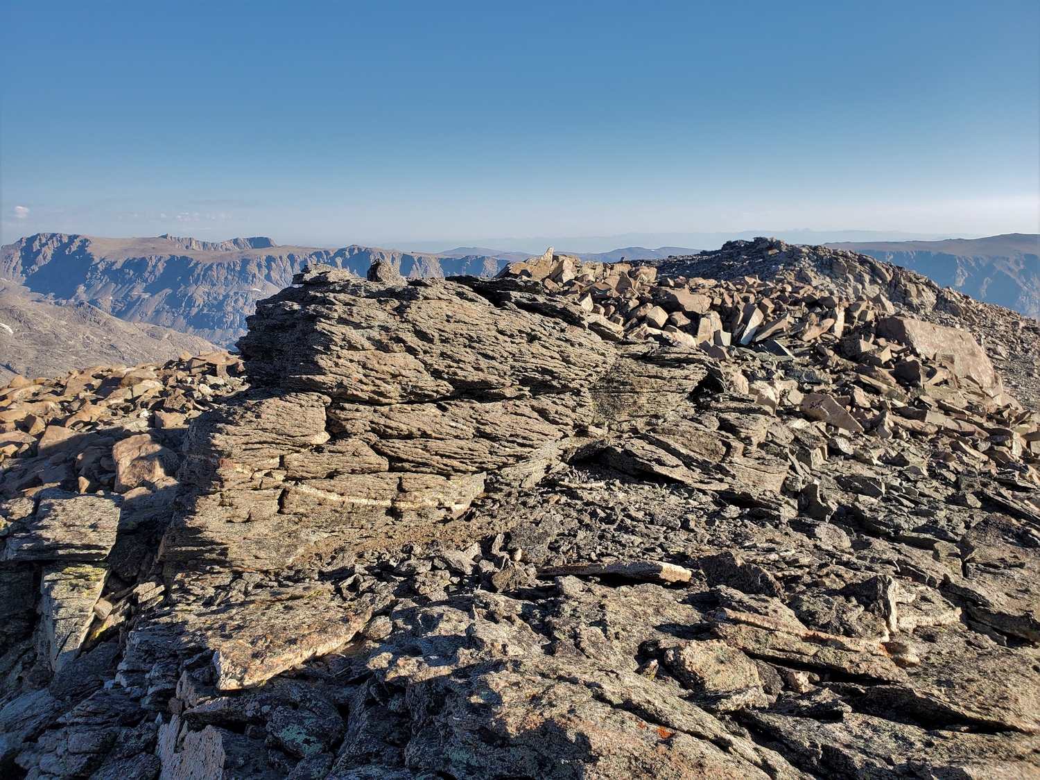
The summit area of Bete Noire is a flattish ridge, but this giant rock is the high point according to LiDAR and visual comparison. There’s a small cairn on top, left by Eric in 2020 I think.
Views of the central/southern Winds are blocked by smoke today, but at least the skies remain clear of any threatening clouds.
Summit panorama from Bete Noire. This peak is much-maligned as boring and out of the way, but it has one of the best views in the range. More than a dozen 13ers are visible from here, spanning the whole Bull Lake cirque from Knife Point to Febbas.
After Bete Noire, I head for Knife Point Mountain, seen here above Alpine Lakes Pass (summit near center).
DISCLAIMER: Mountain climbing is dangerous. Activities described on this page may lead to serious injury, death, and property damage. This webpage is presented with no warranty express or implied. Pictures and text are for entertainment purposes only. No commercial use allowed; all rights reserved.