Black Tooth Mountain
Elevation: 13,002 ft.
Prominence: 630 ft.
Isolation: 1.5 miles
Technical Difficulty: Class 2+


Black Tooth Mountain Guidebook
Introduction
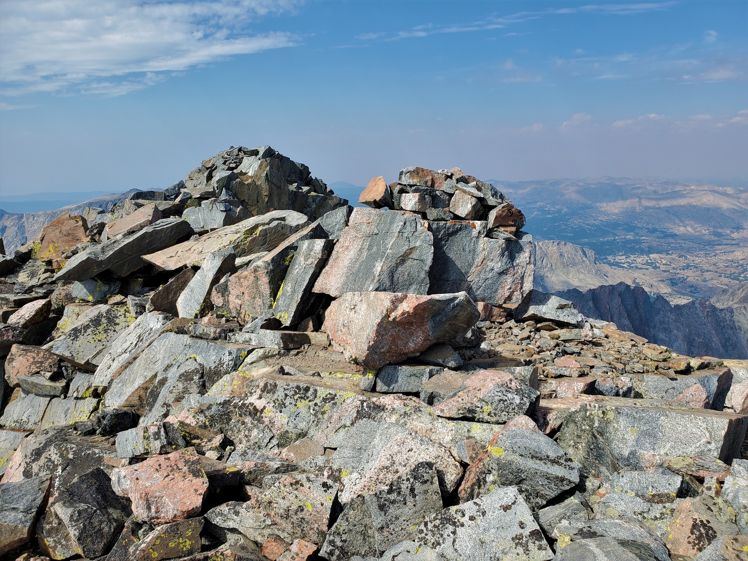
Long shrouded in mystique and considered difficult to climb, modern trip reports and tracks have dispelled the mystery and revealed that Black Tooth Mountain is actually one of the easiest Wyoming 13ers. The approach, however, still requires miles and miles of off-trail travel, so a strong wilderness ethic is essential. Black Tooth has the distinction of being the lowest of the Wyoming 13ers, with a summit elevation of only 13,002 ft. according to LiDAR analysis, even lower than the 13,005 ft. map elevation.
General Considerations
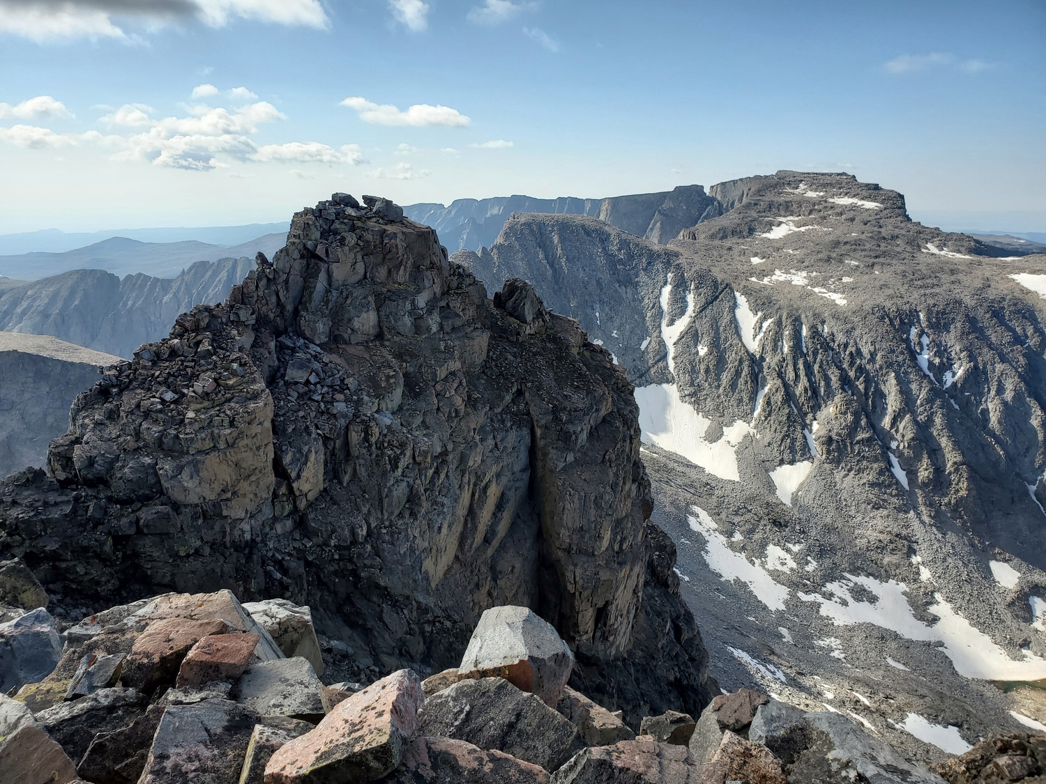
The mountain can be approached from many directions, but the most common options are the Sawtooth Lakes or Wilderness Basin. It has also been combined with Cloud Peak in a single loop from the West Tensleep Trailhead, though such an undertaking makes for a very long day-hike or an arduous backpacking trip over the top of Cloud Peak.
Route 1: South Gullies – Class 2+
Approach A: Wilderness Basin
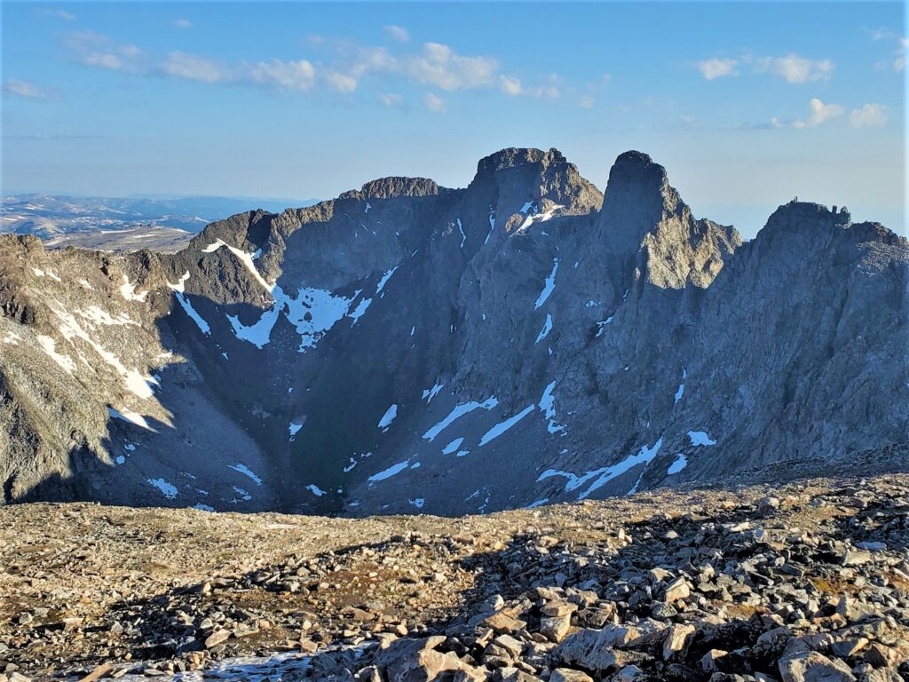
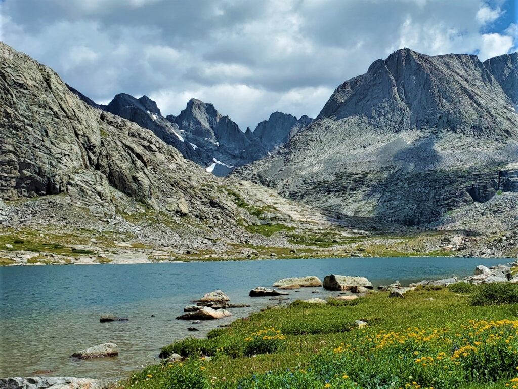
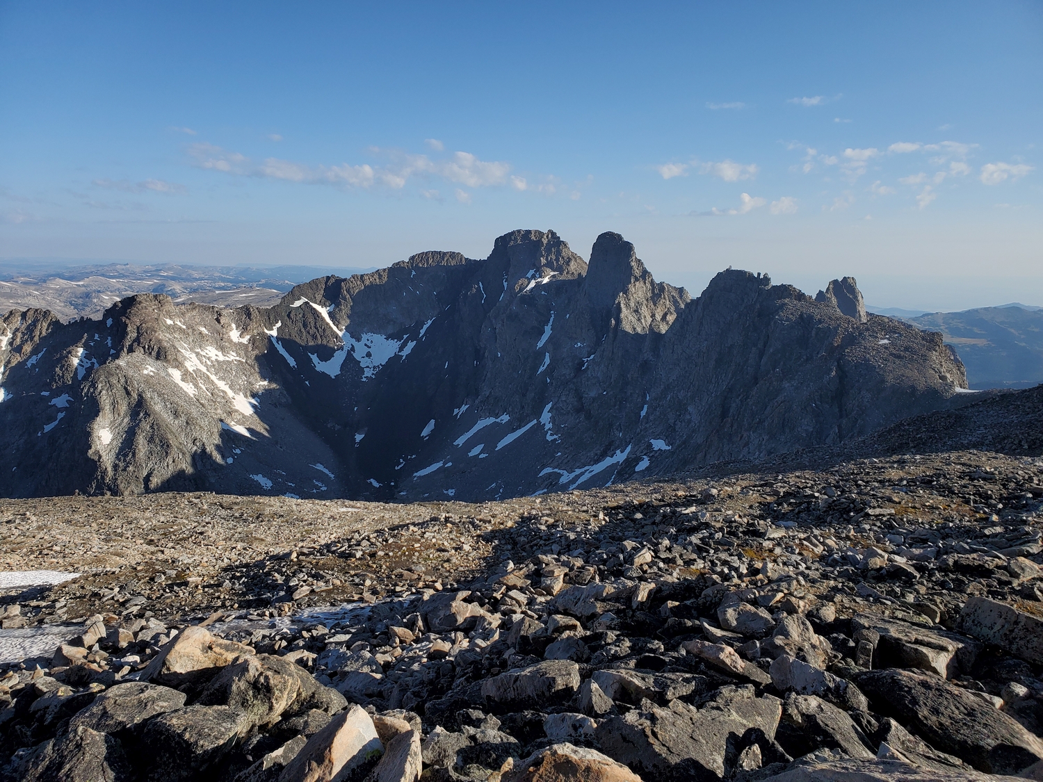
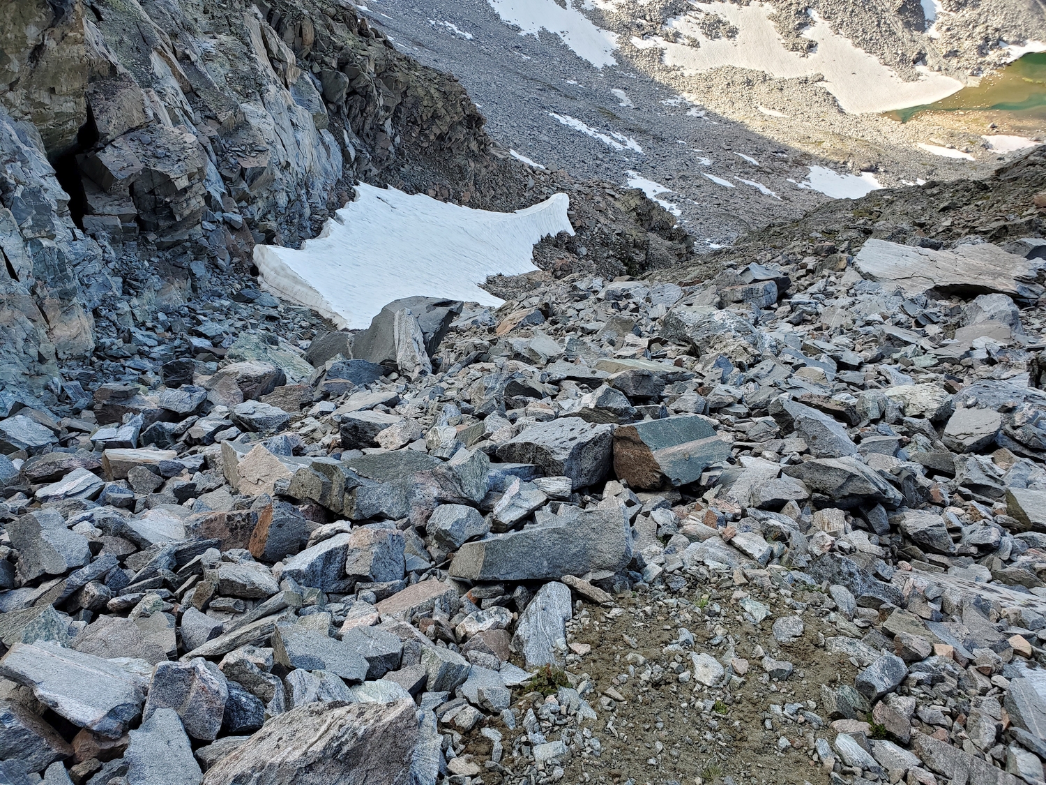
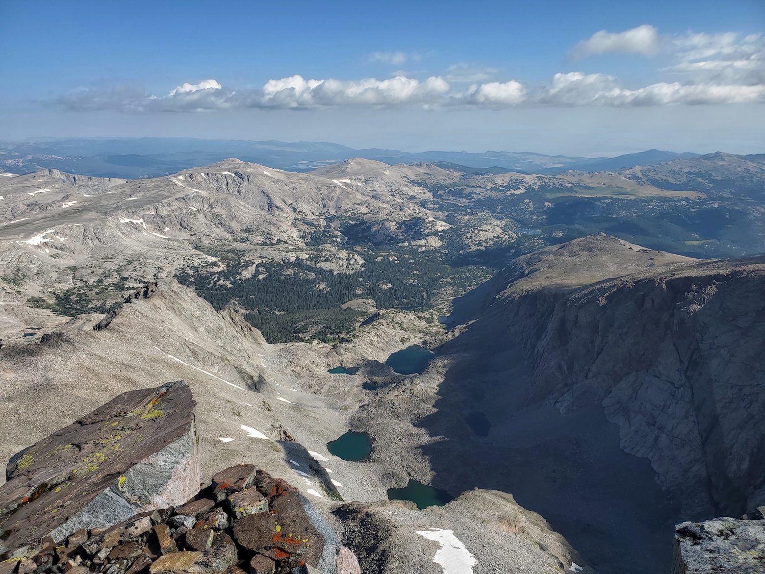
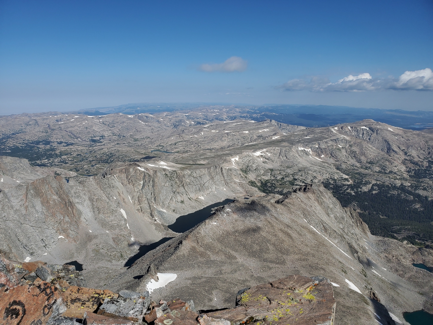
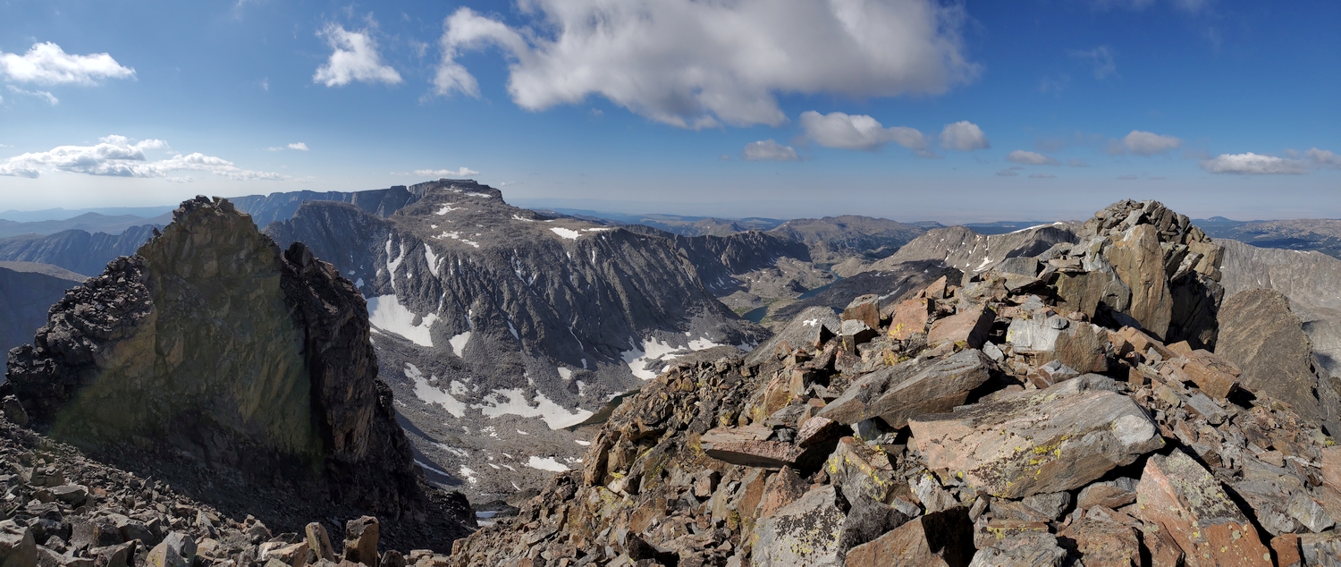
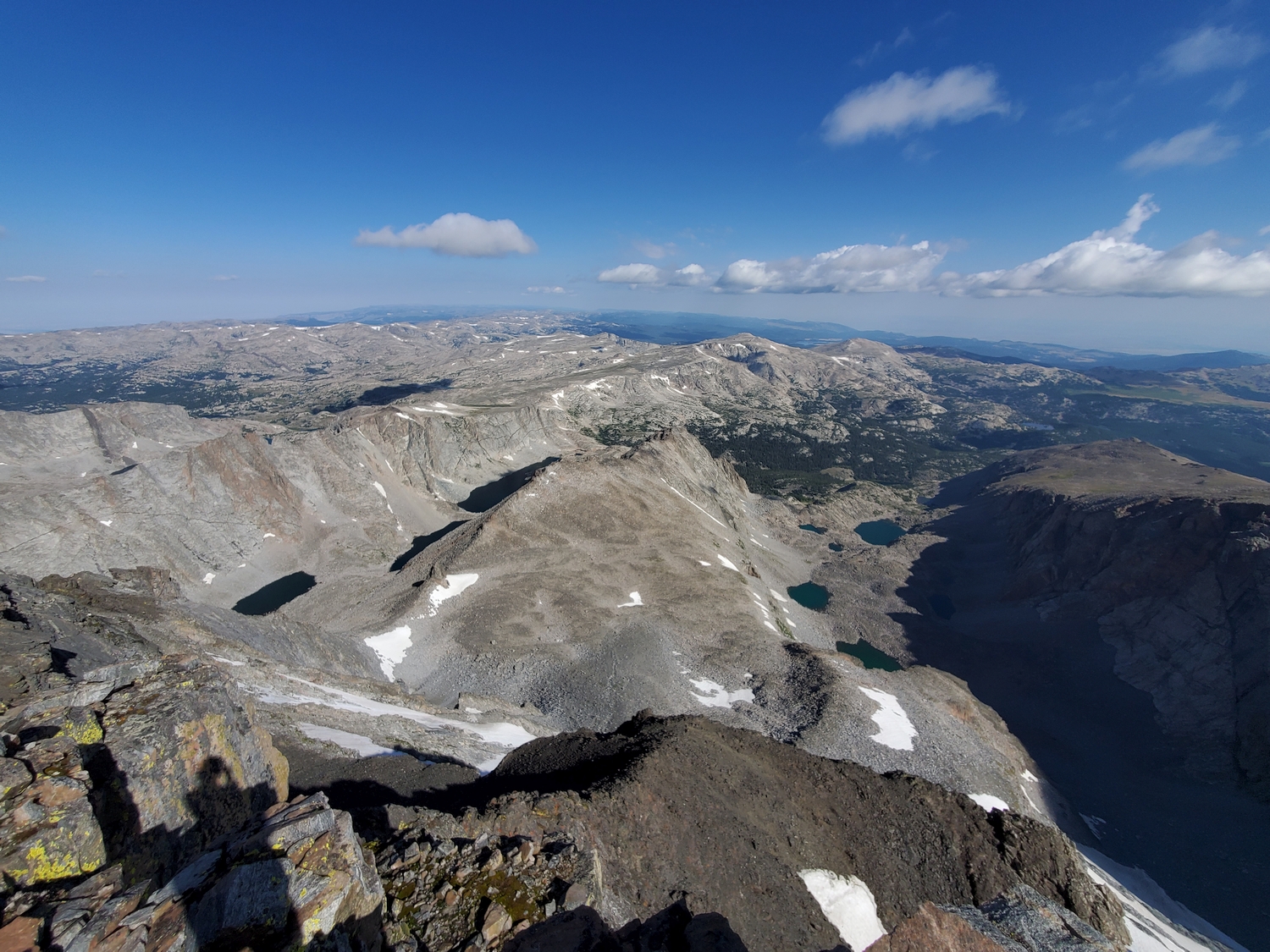
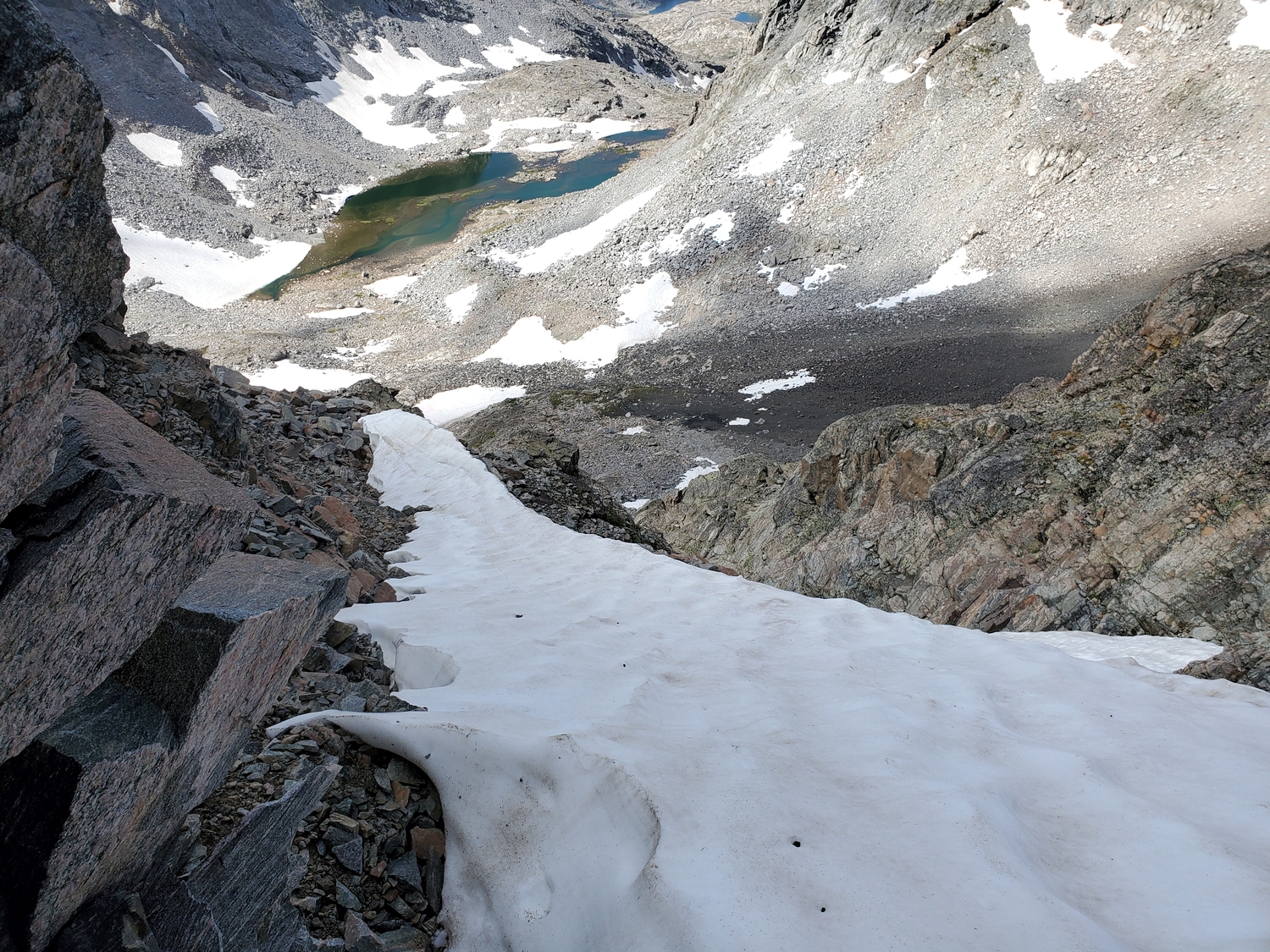
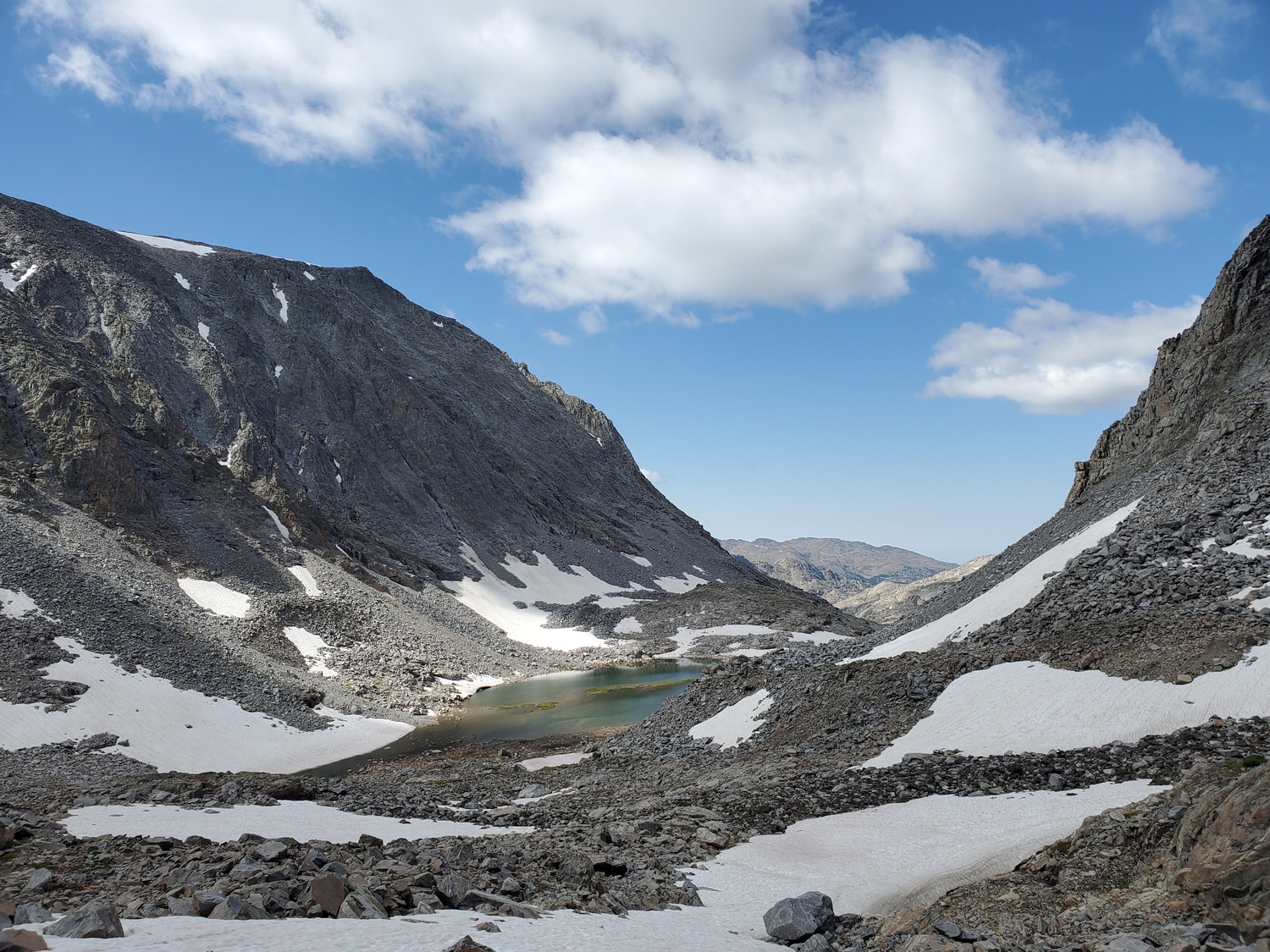
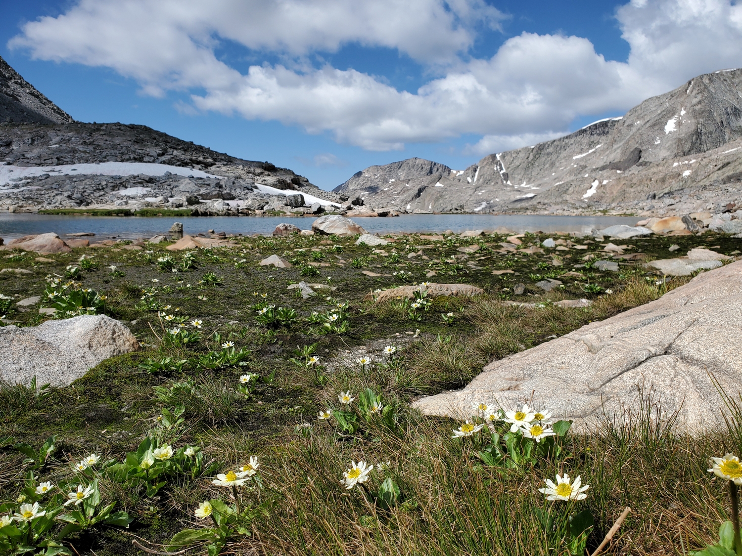
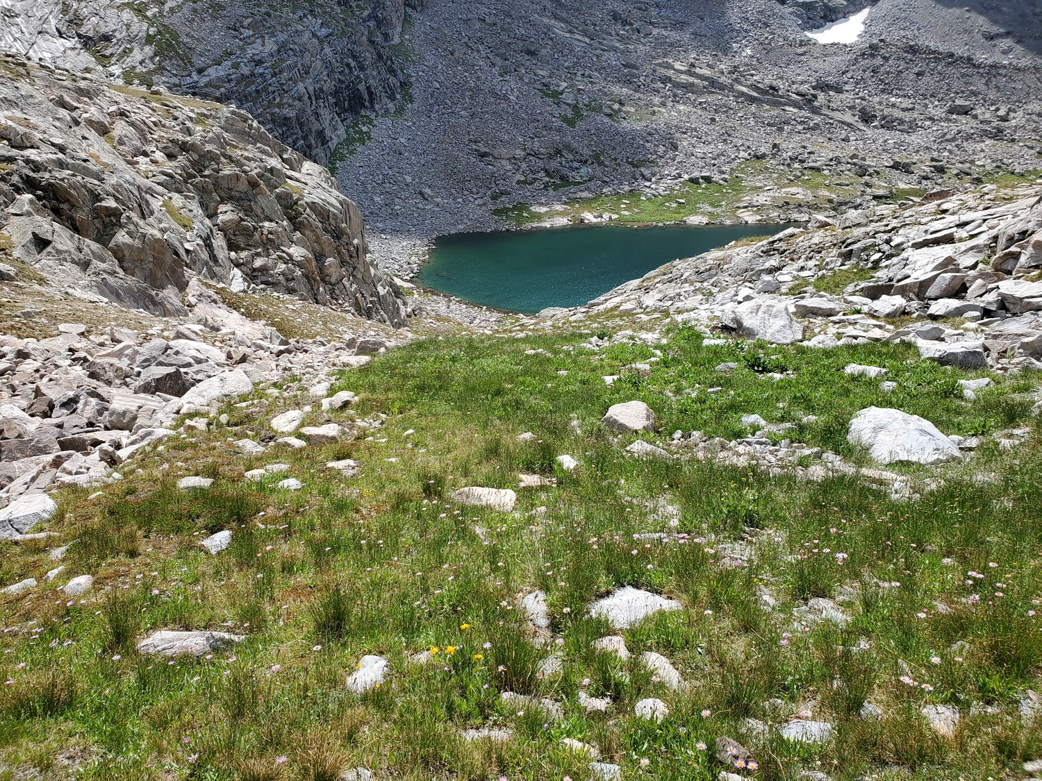
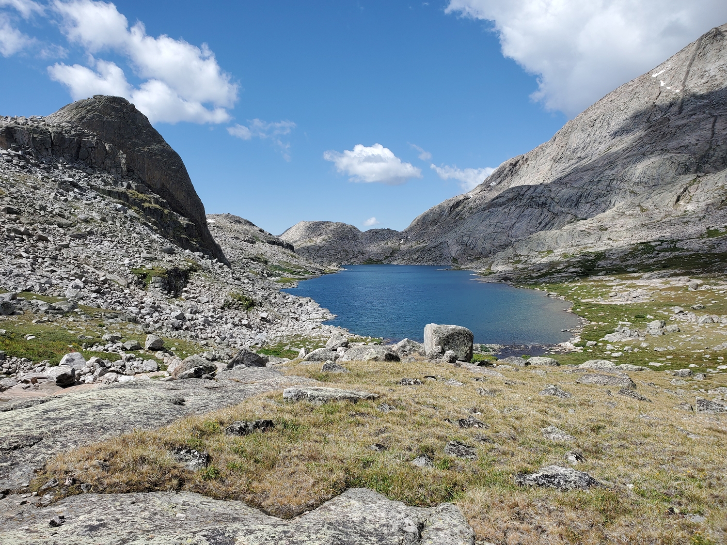
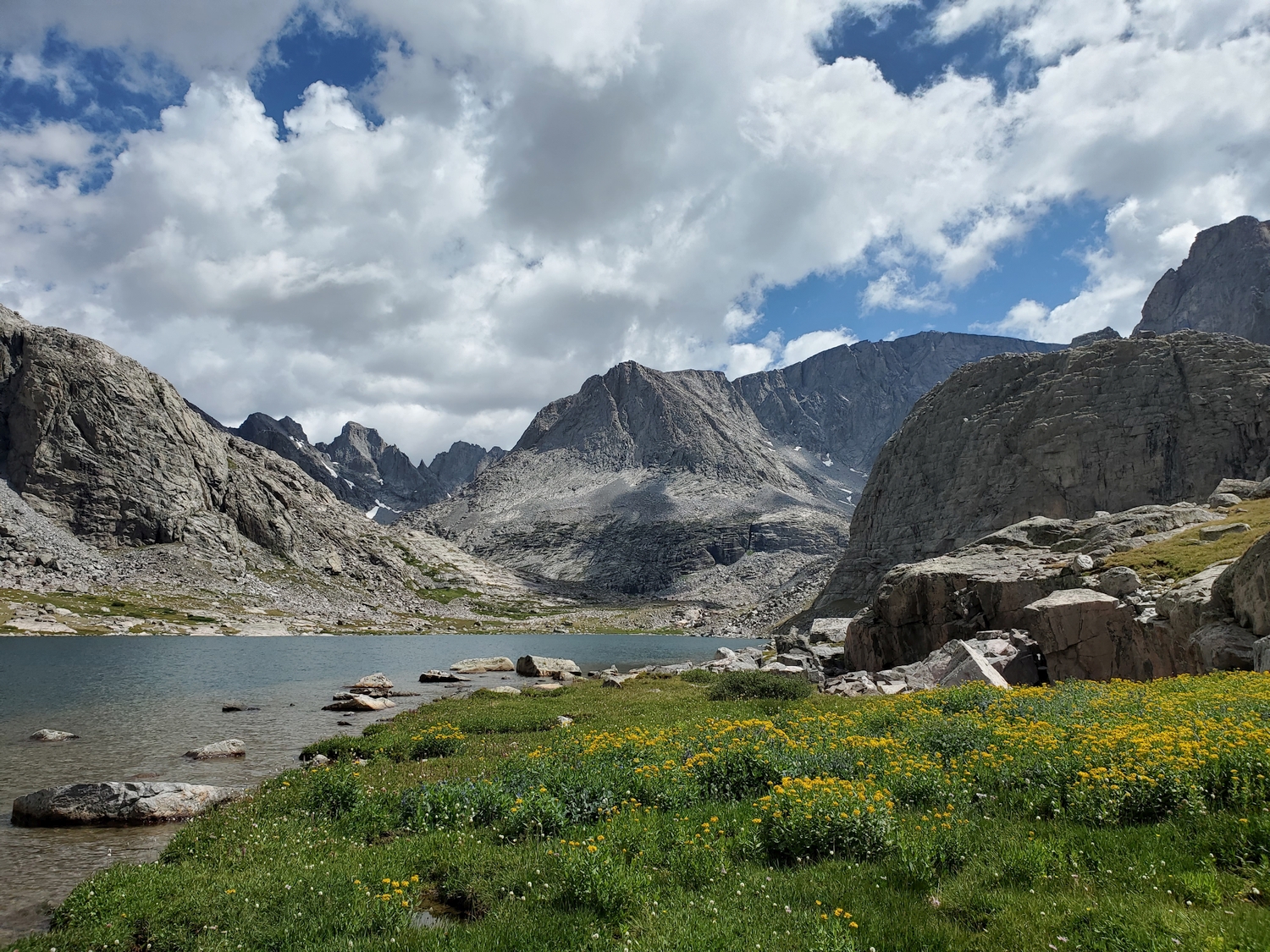
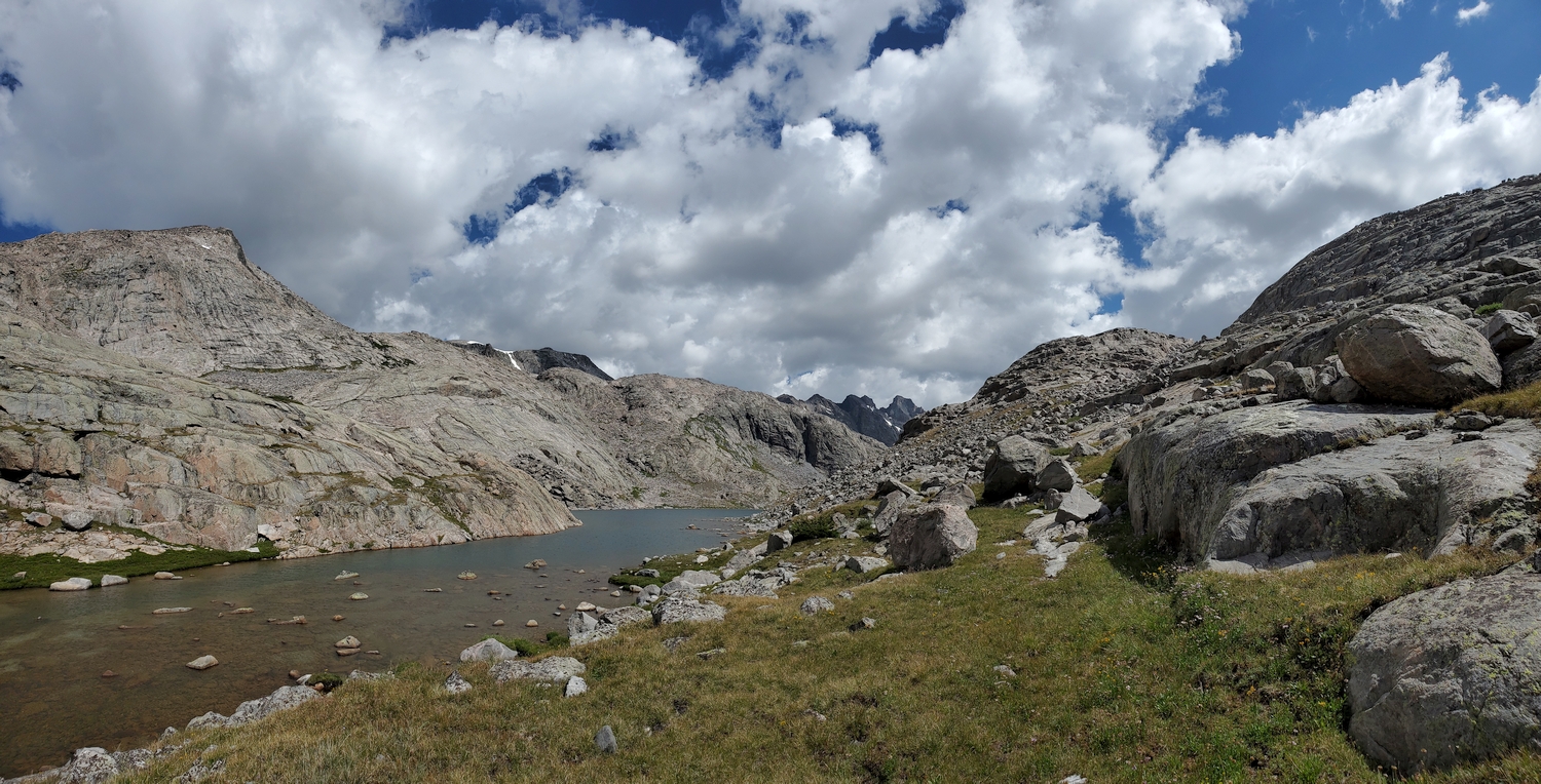
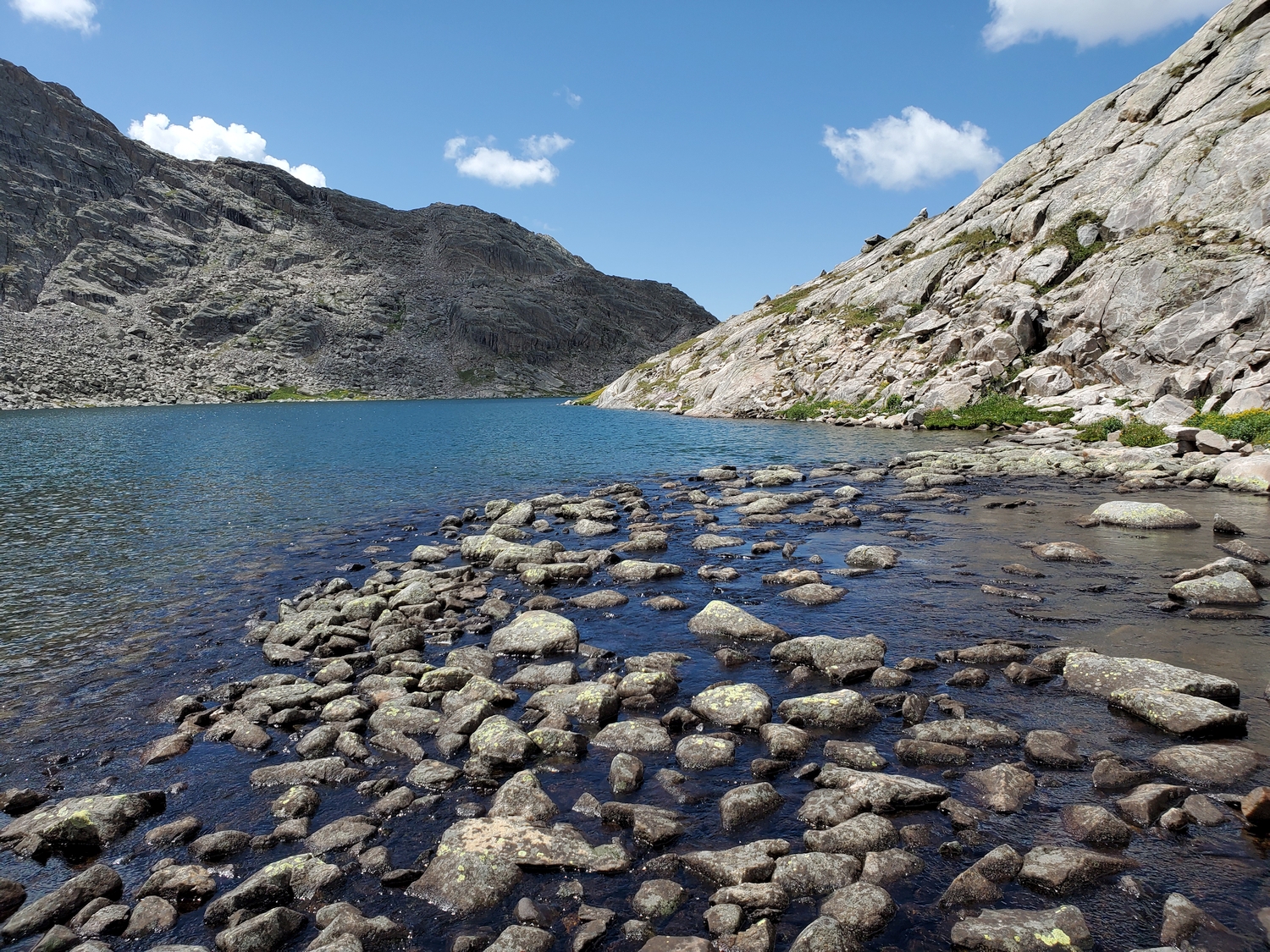
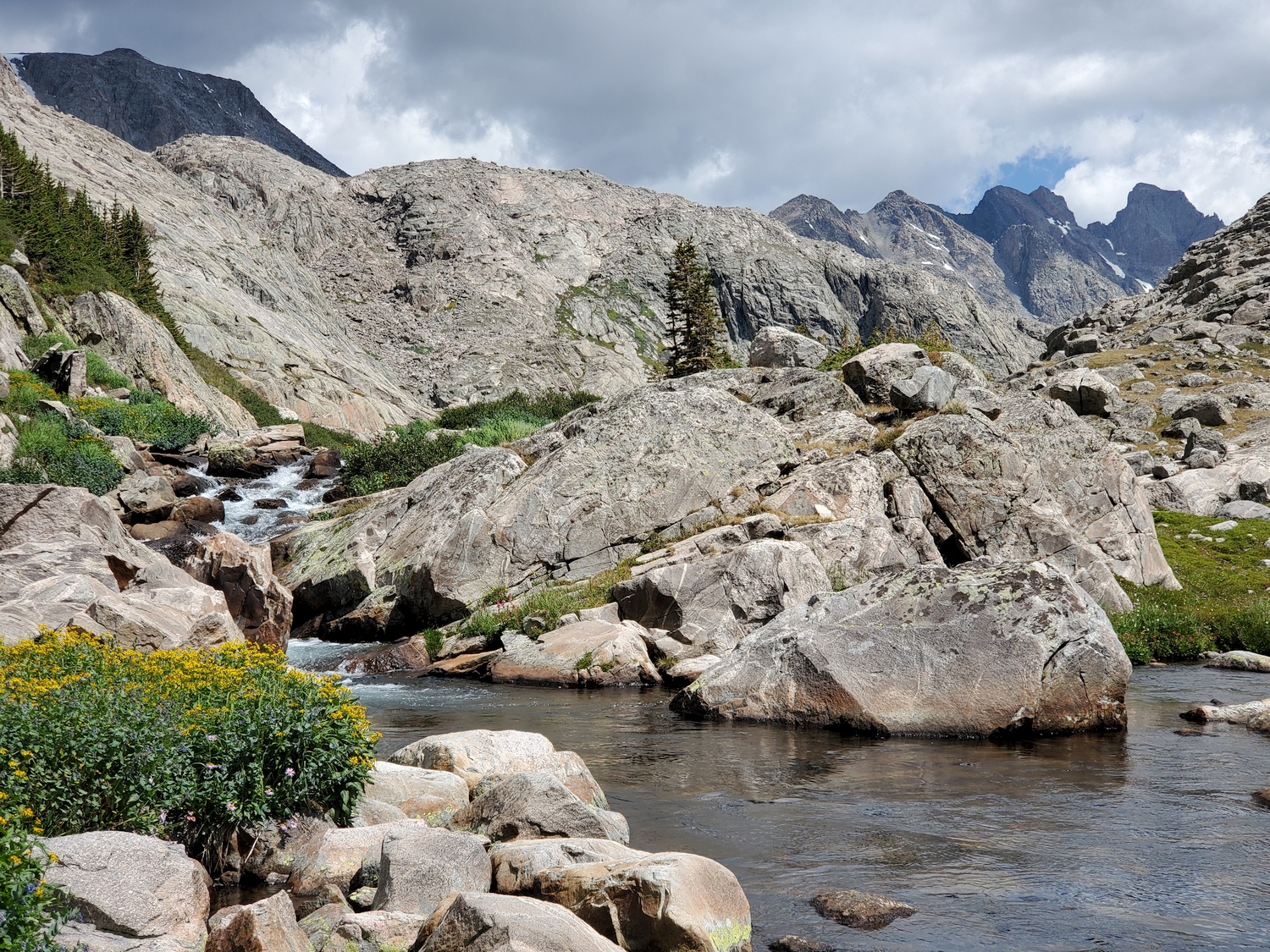
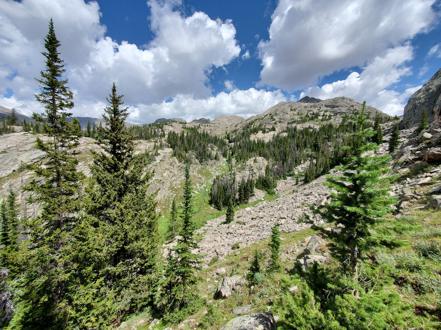
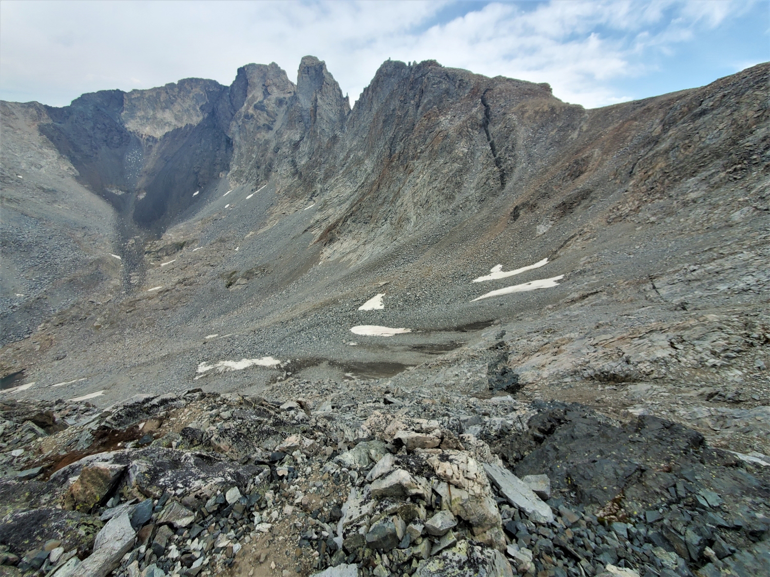
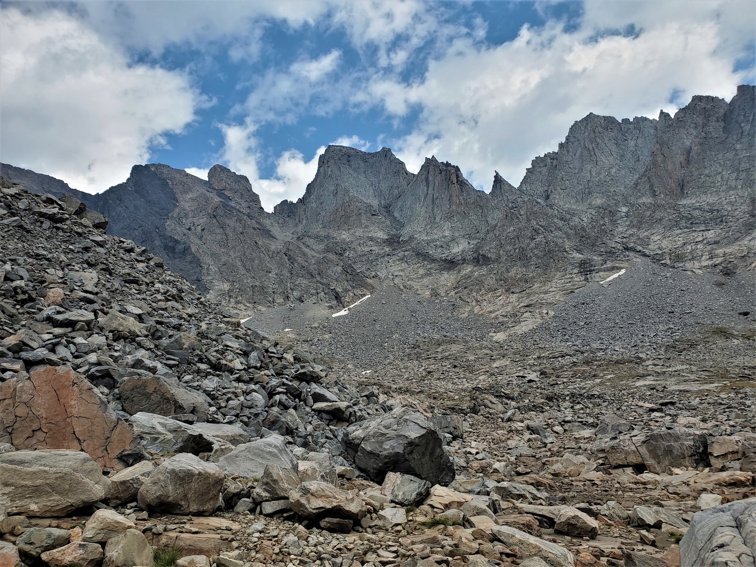
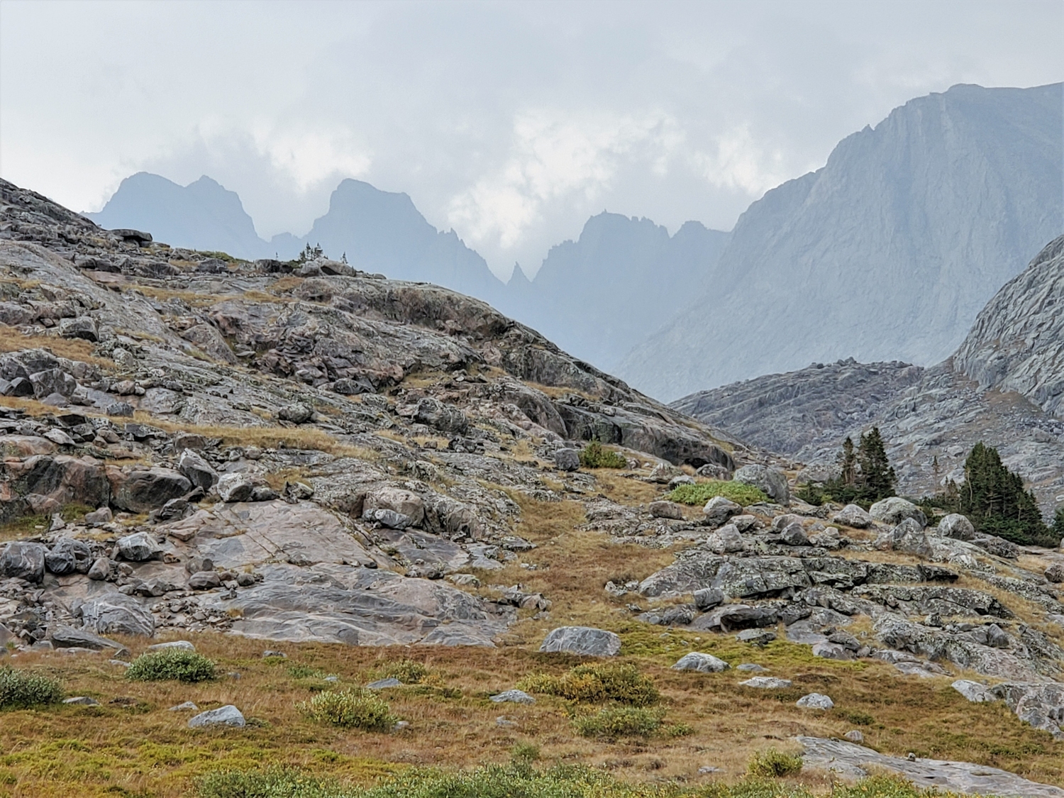
From the West Tensleep or Bucking Mule Trailheads, follow trails to Paint Rock Creek above Lake Solitude. From here, several miles of off-trail travel through scrub forests and past massive alpine lakes (including Middle Cloud Peak Lake, the only named lake) should deliver you to Lake 11170, where the route begins in earnest.
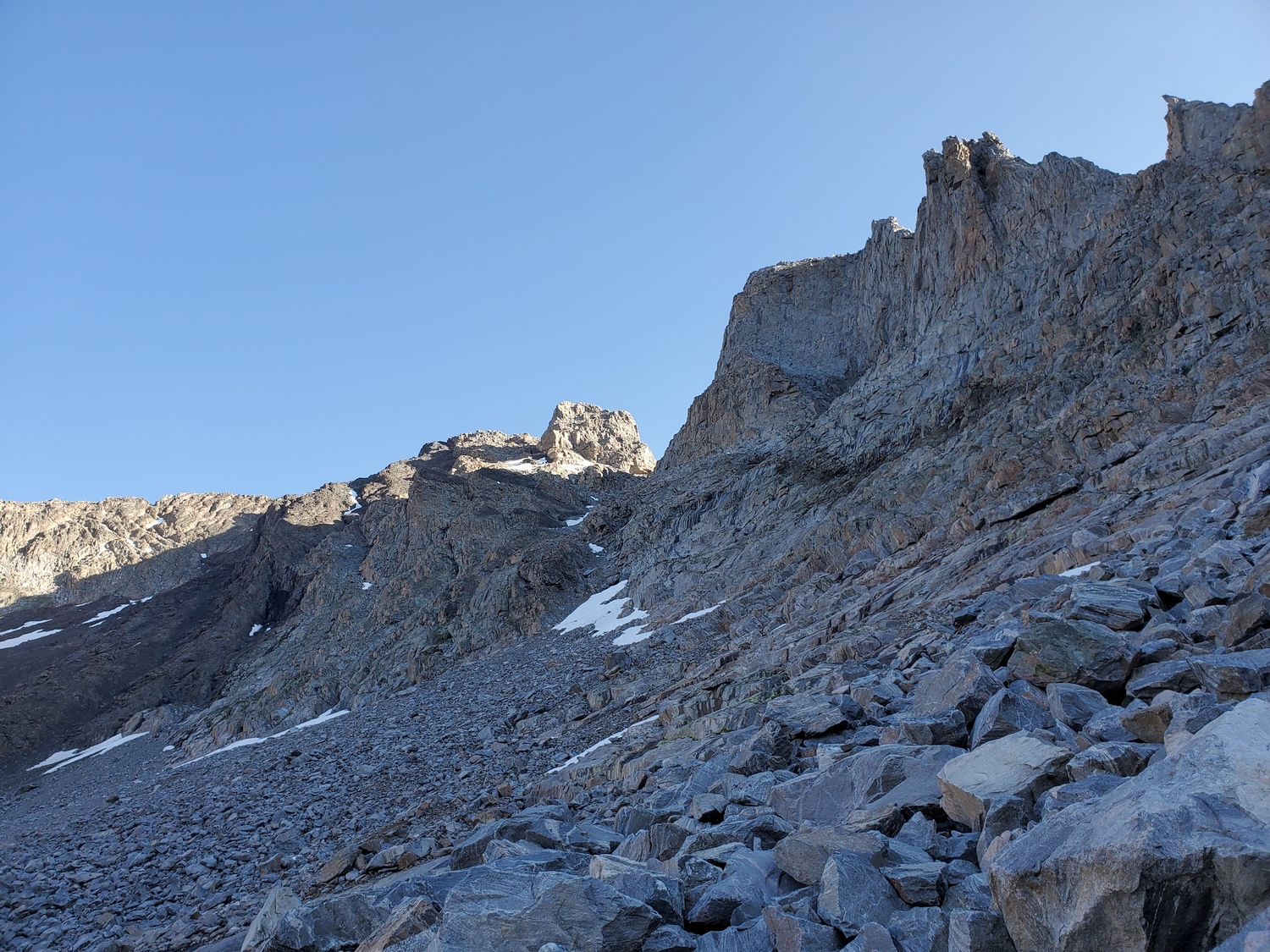
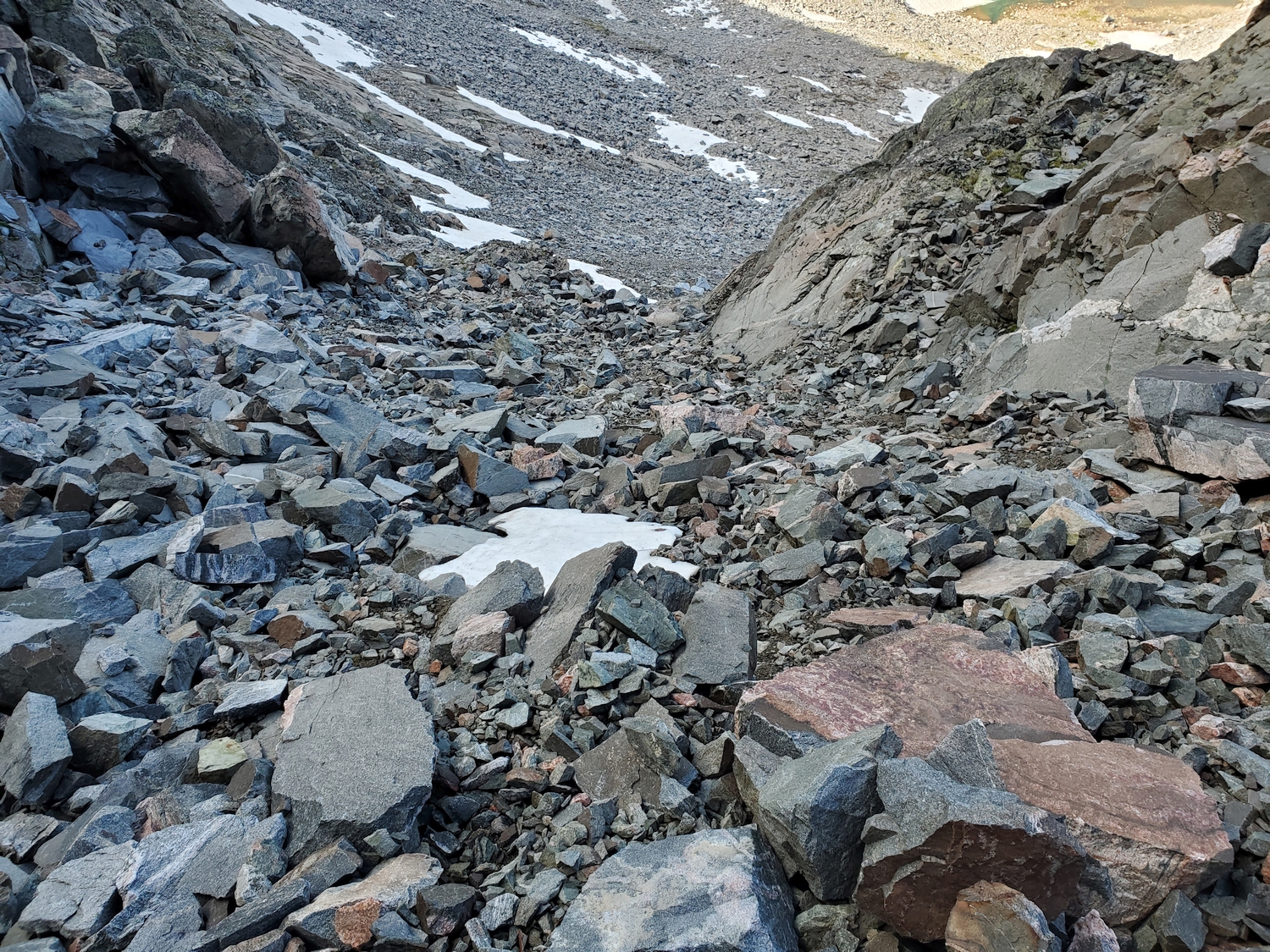
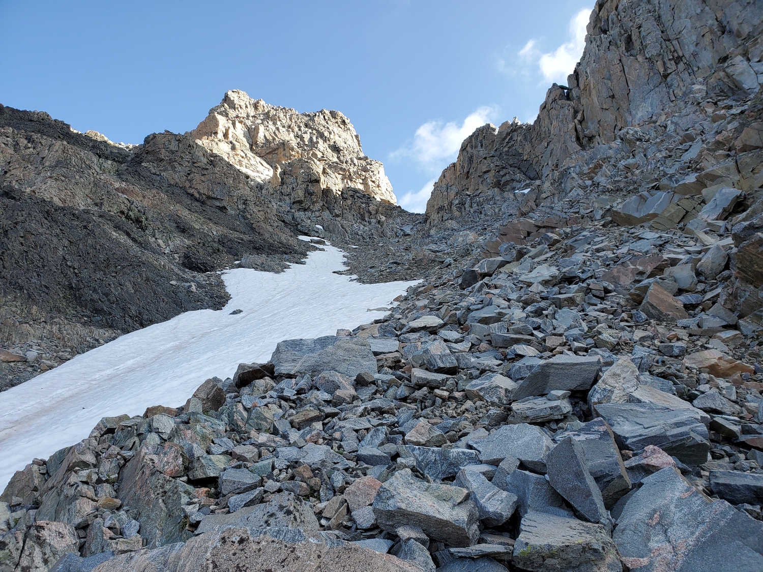
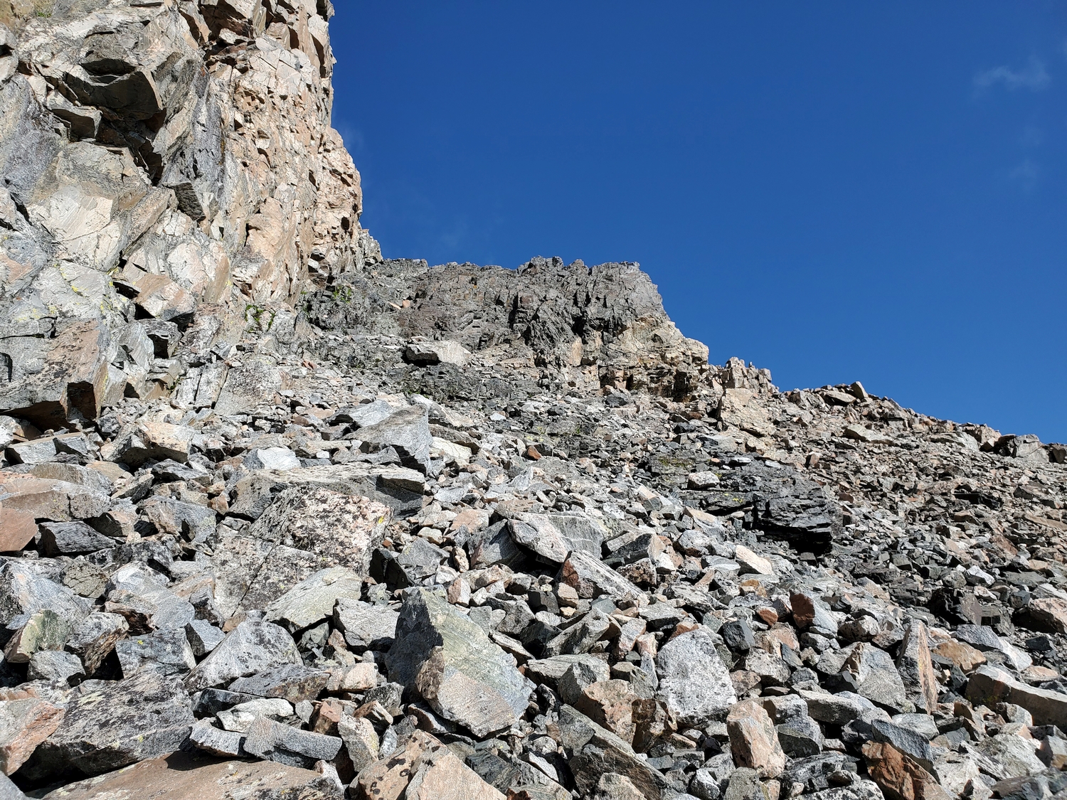
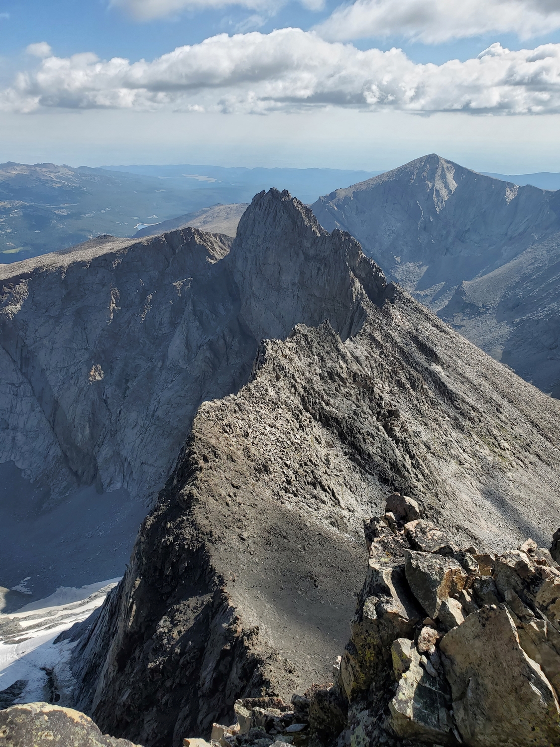
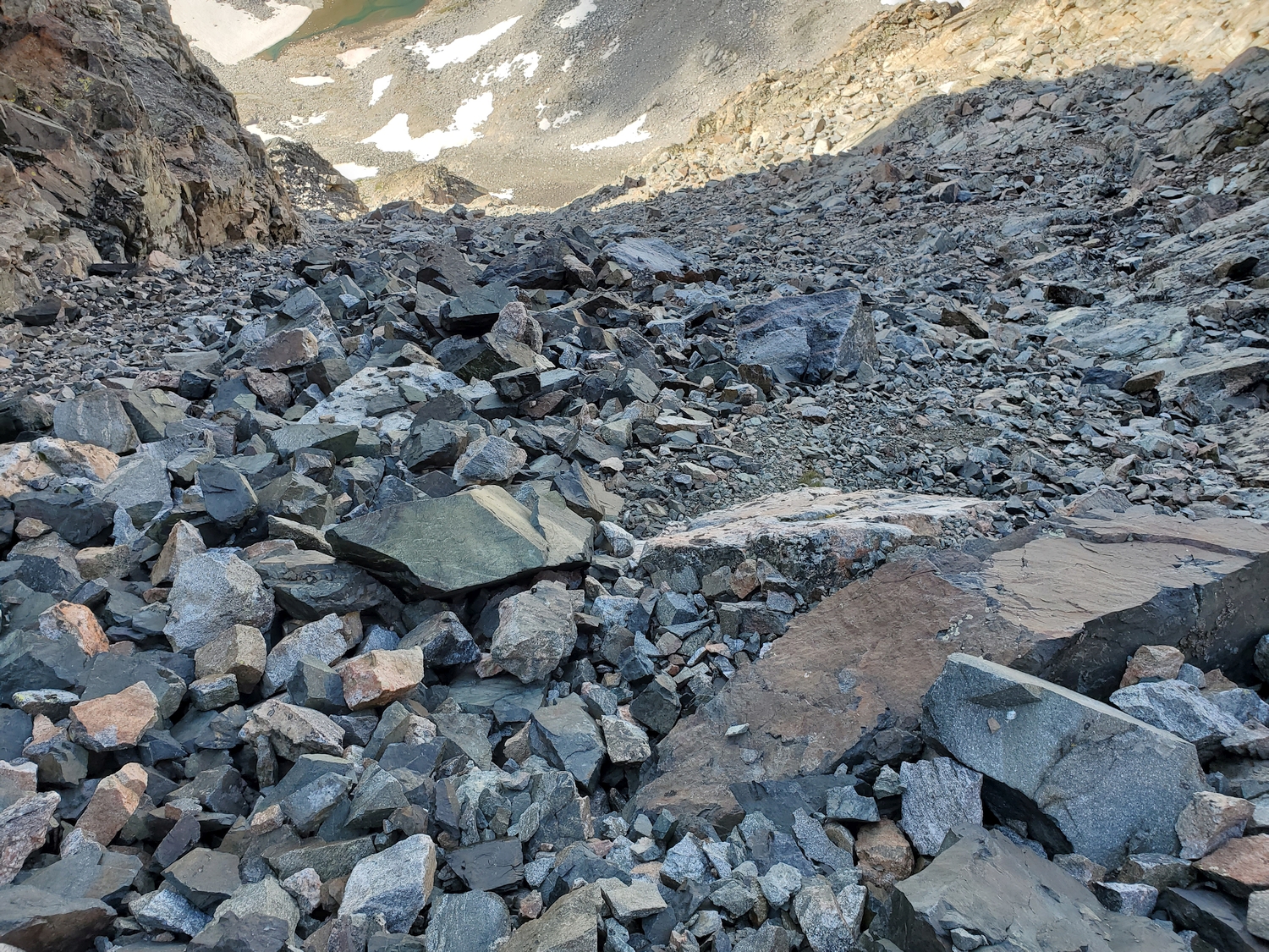
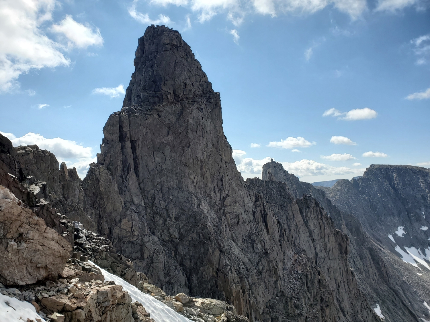
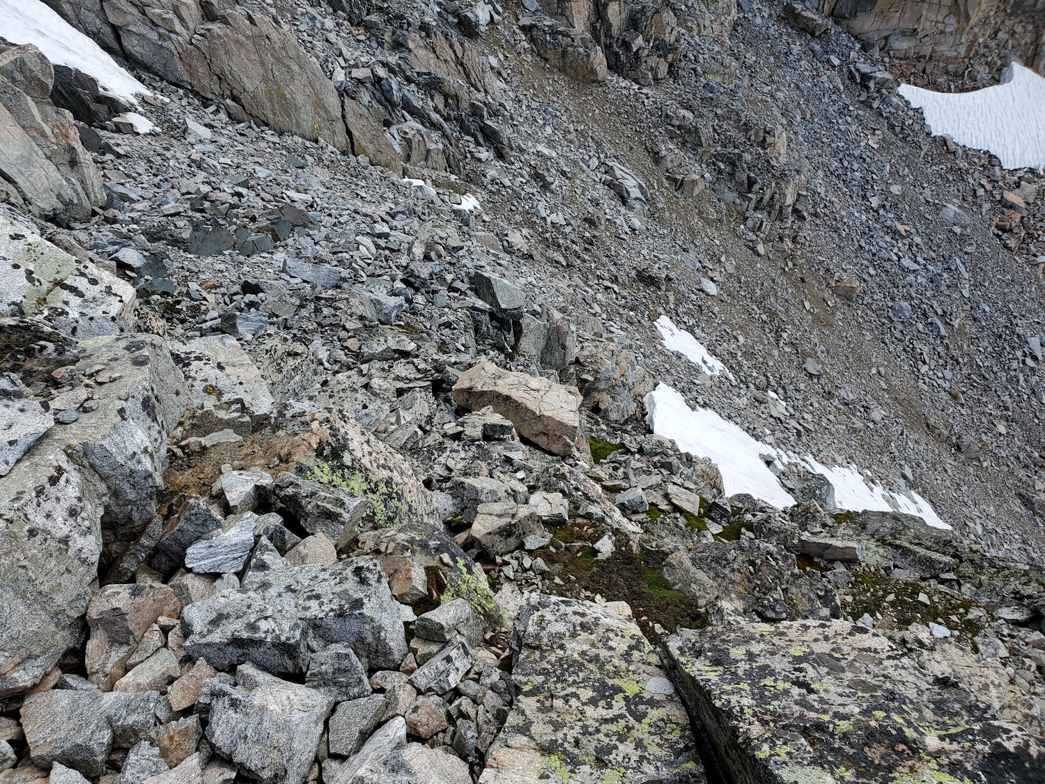
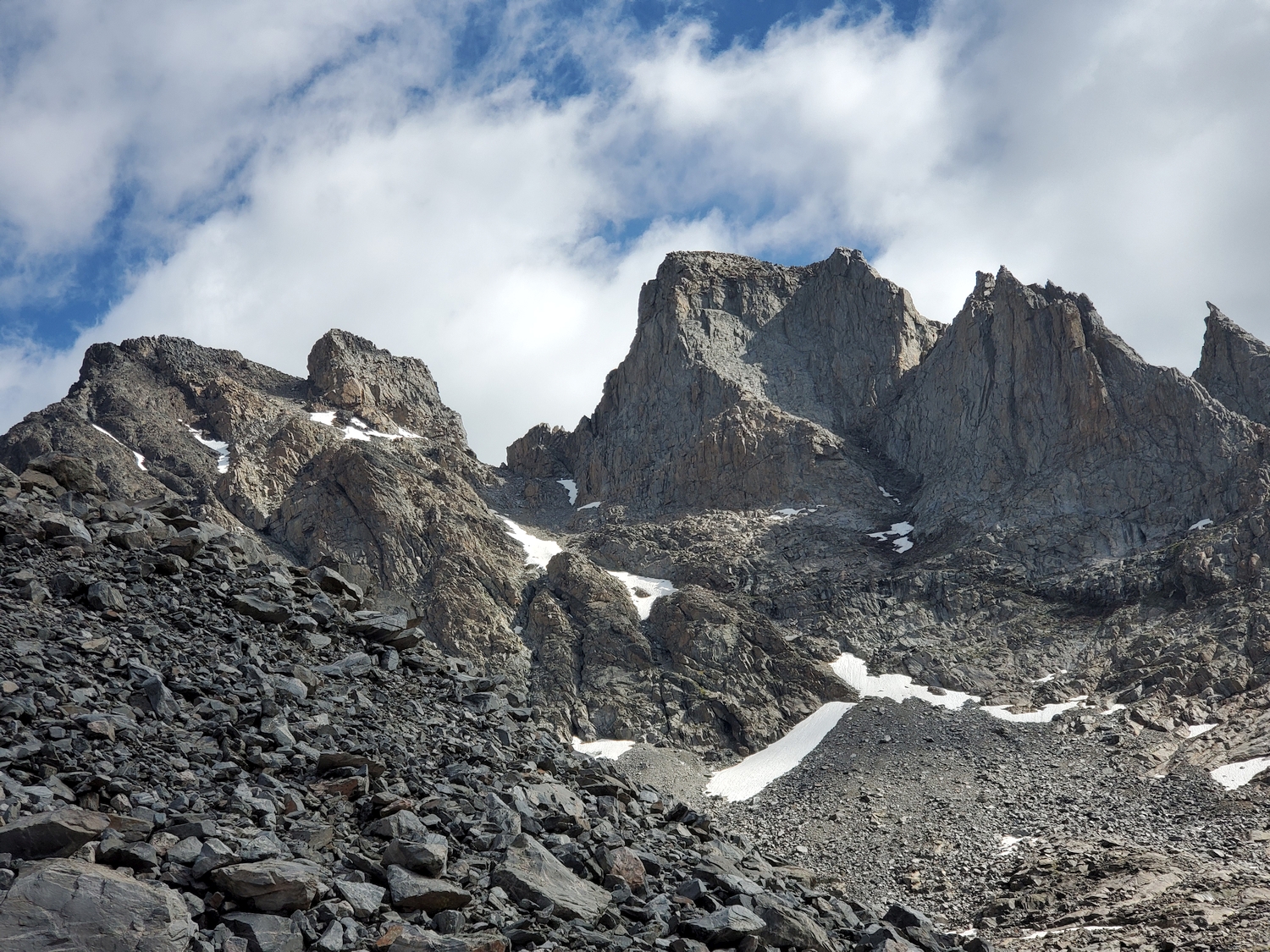
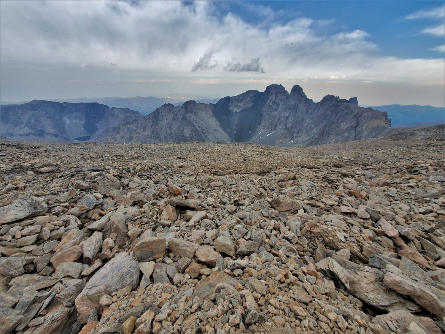
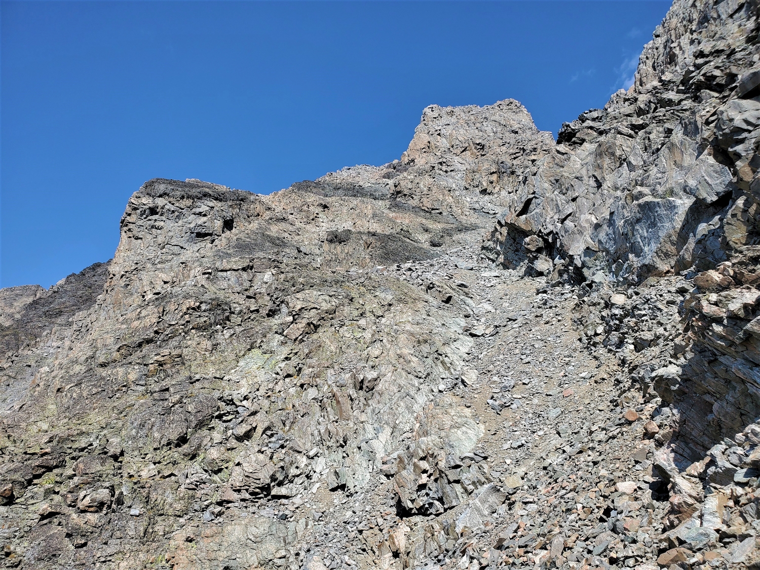
Hike up open scree slopes below Mount Woolsey, and look for a left-slanting gully/ramp system leading to the col between Woolsey and Black Tooth Mountain. The route starts with a steep ascent up the talus apron to gain a wide, left-angling, scree-covered ledge, which you can follow to the left until it turns upward and merges with a loose gully. Climb the gully to the Black Tooth-Woolsey col, and join Approach B for the final ascent.
Approach B: Sawtooth Lakes
This is a shorter route if you are not combining Black Tooth Mountain with Cloud Peak. From the end of the road at Kearny Lake Reservoir, hike past the Sawtooth Lakes to the head of the valley, and climb 1,500 ft. of scree up to the col between Woolsey and Black Tooth. This route may involve some harder scrambling.
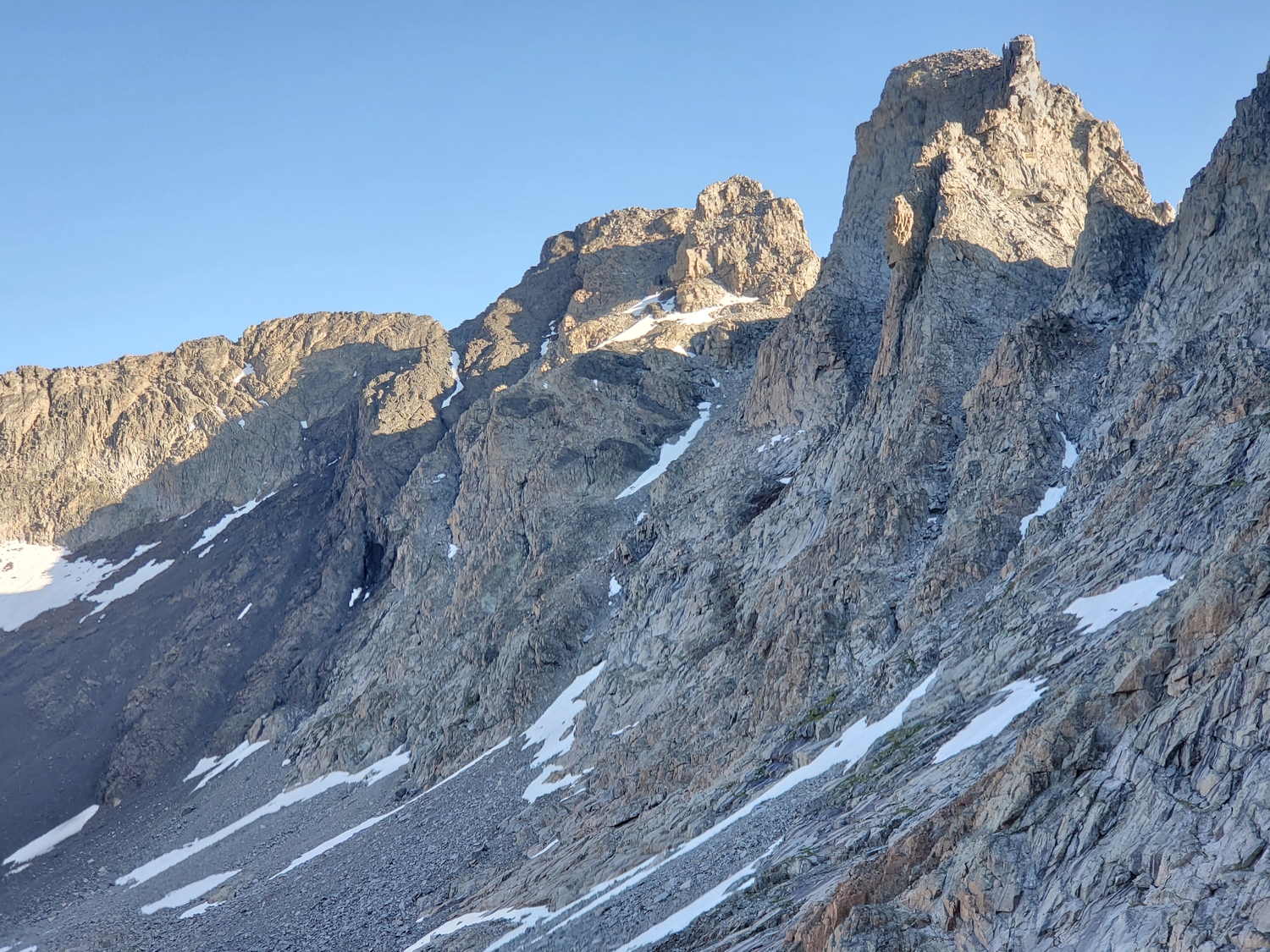
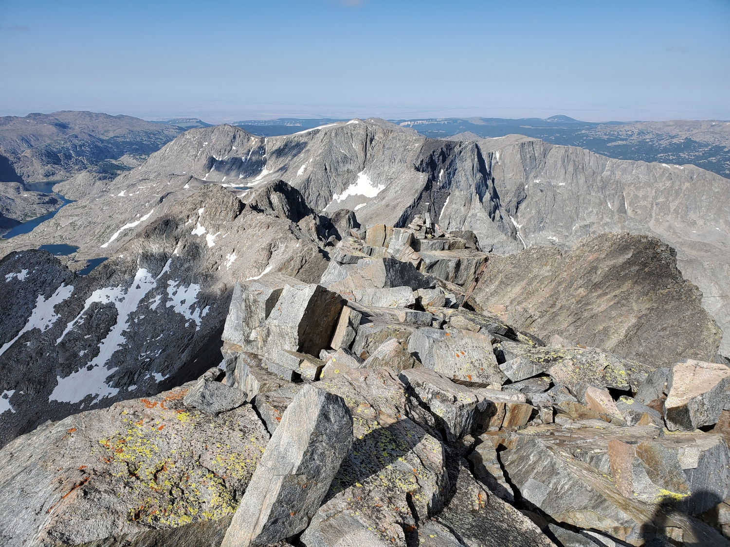
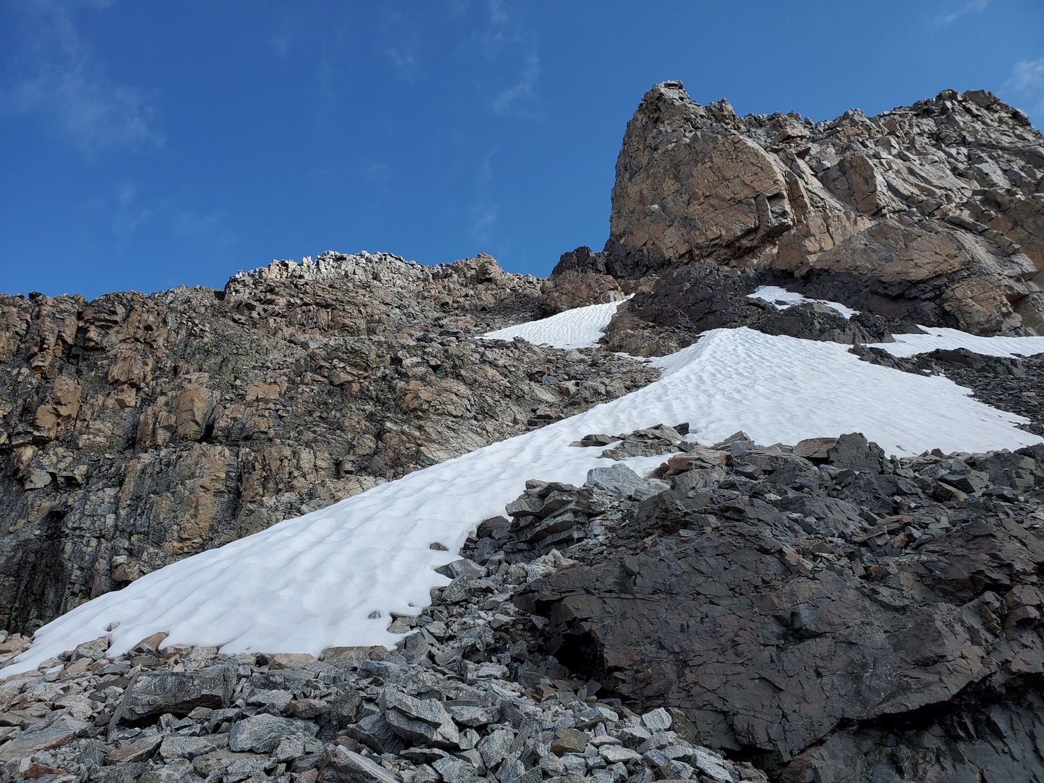
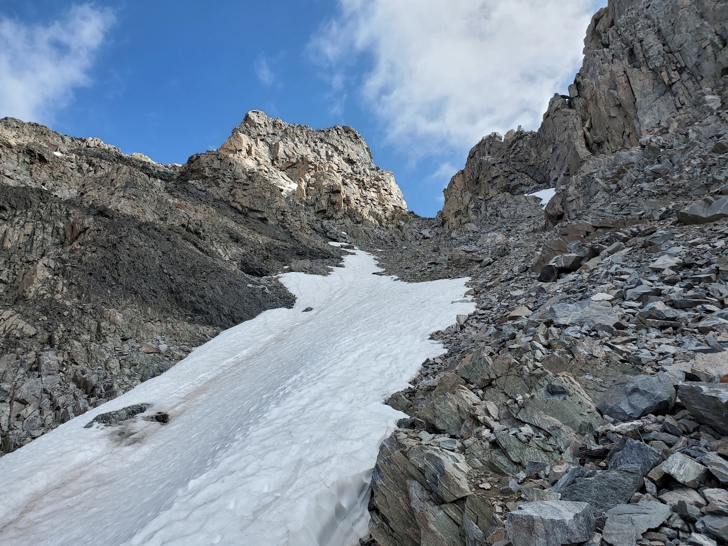
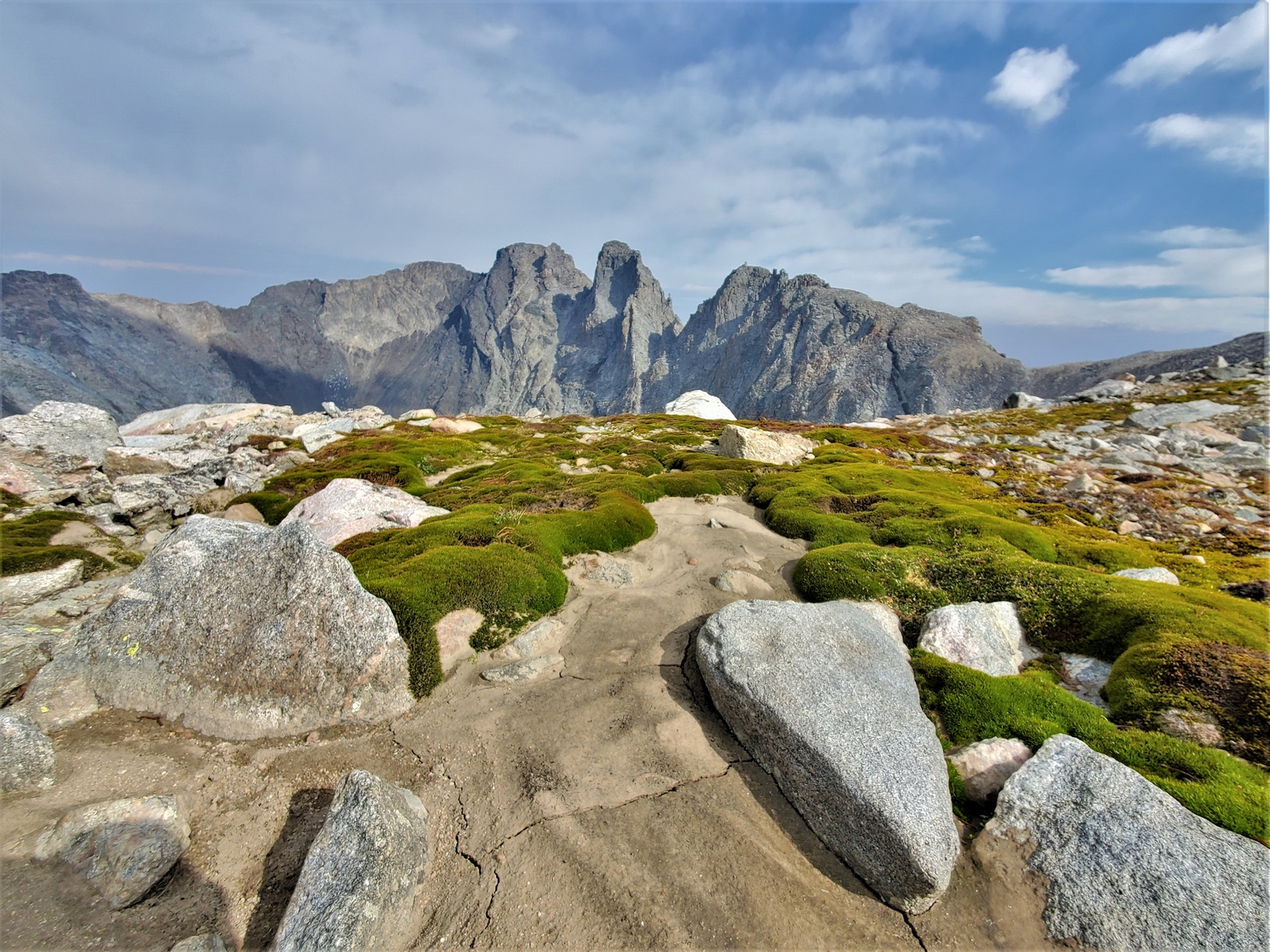
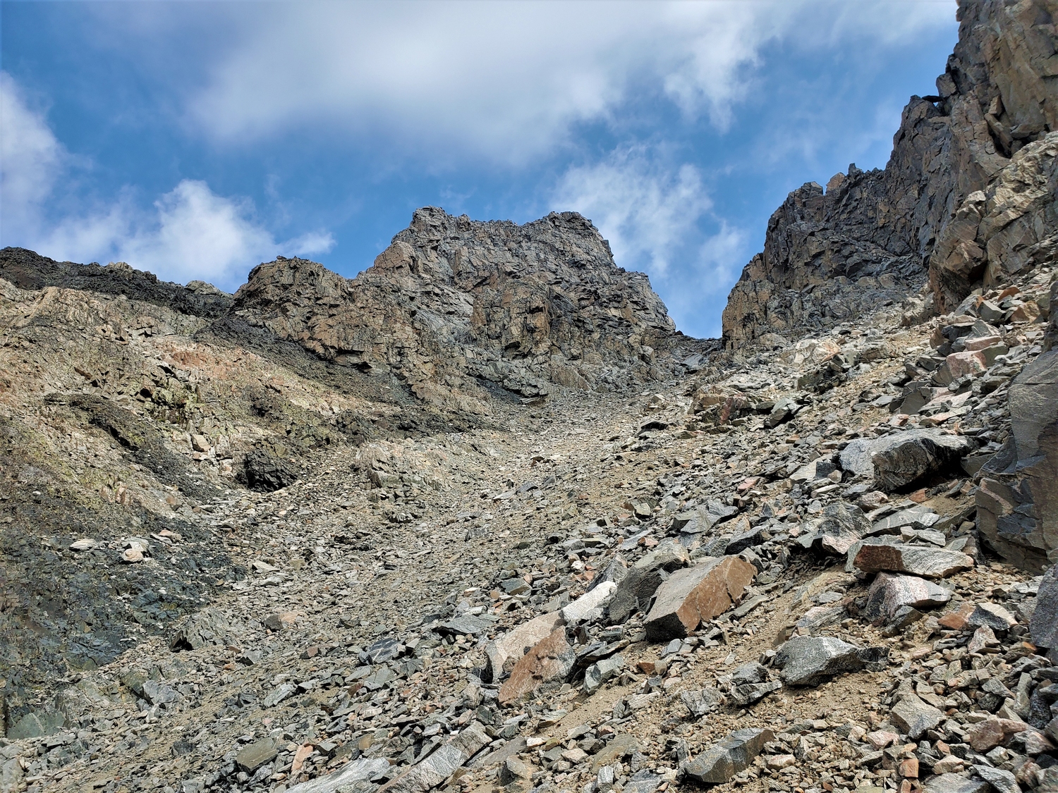
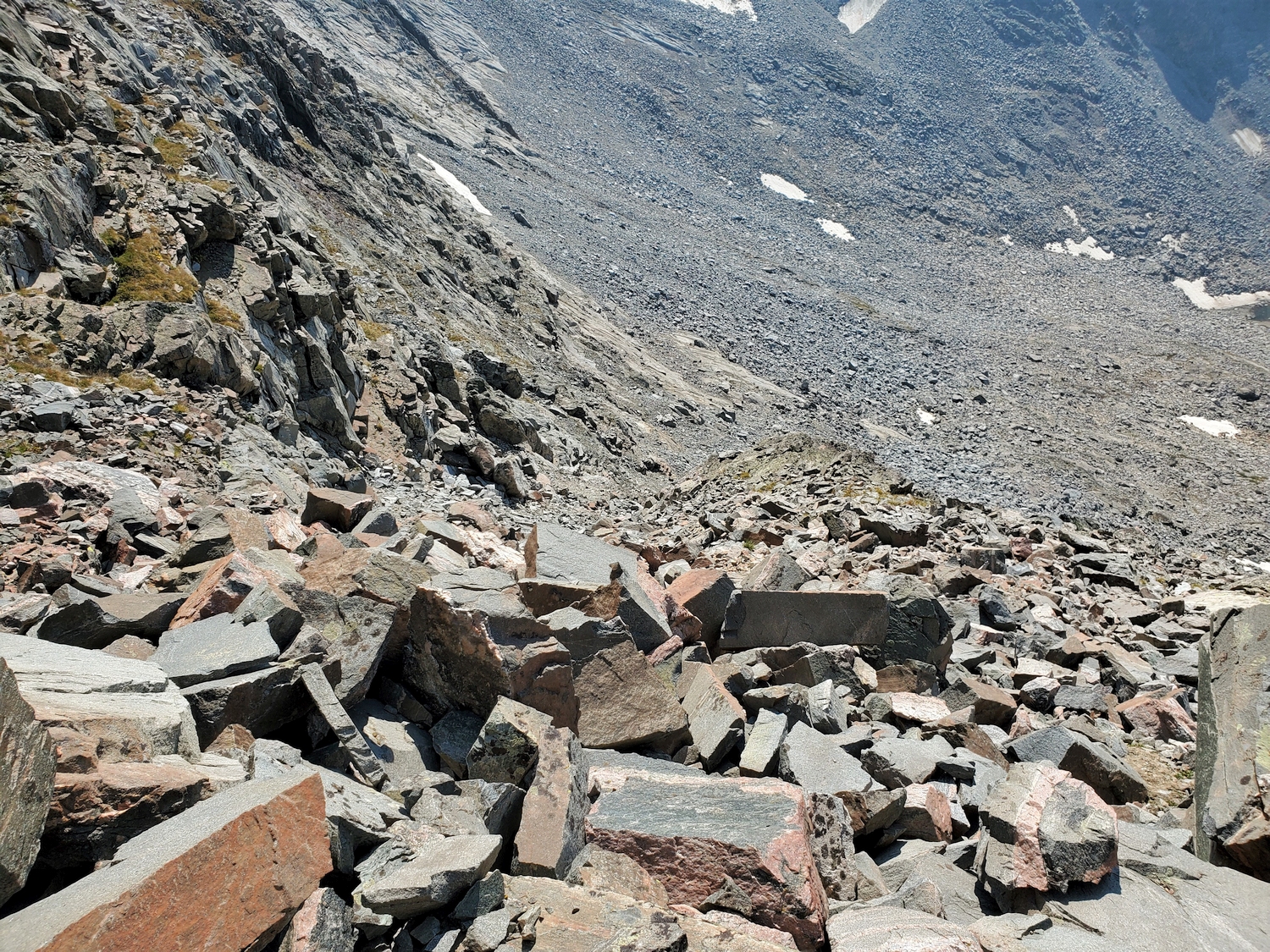
Final Ascent, Both Approaches
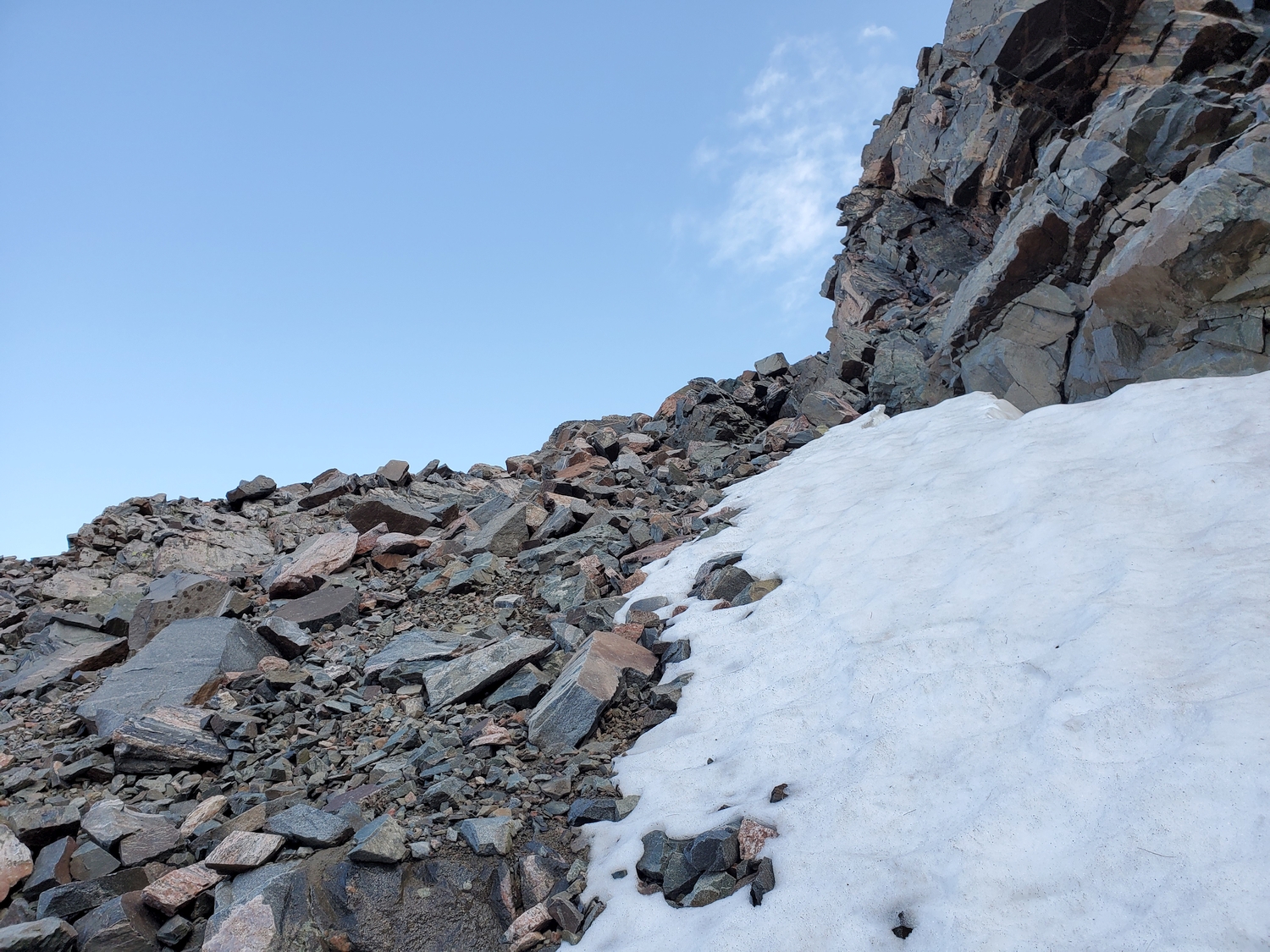
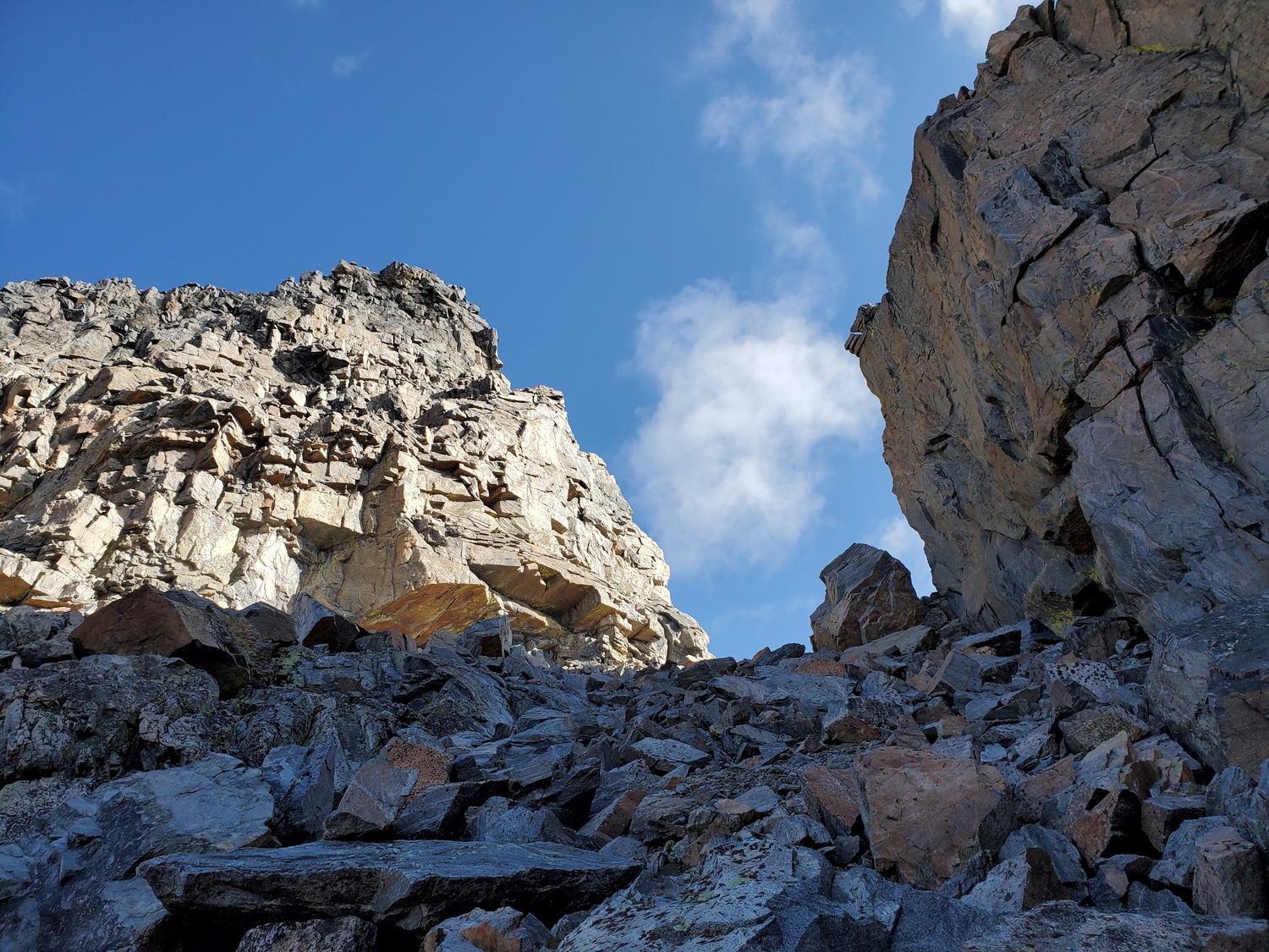
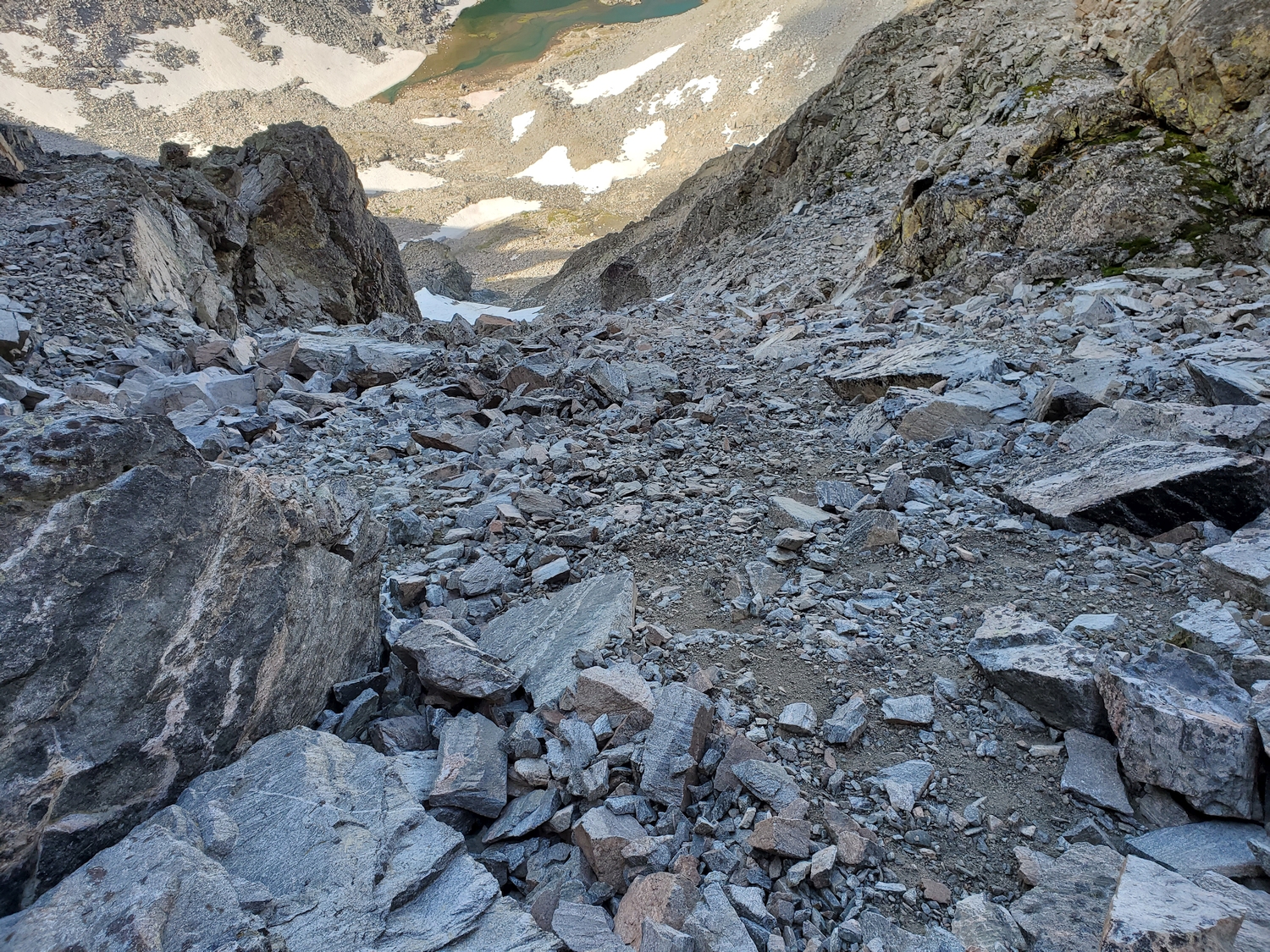
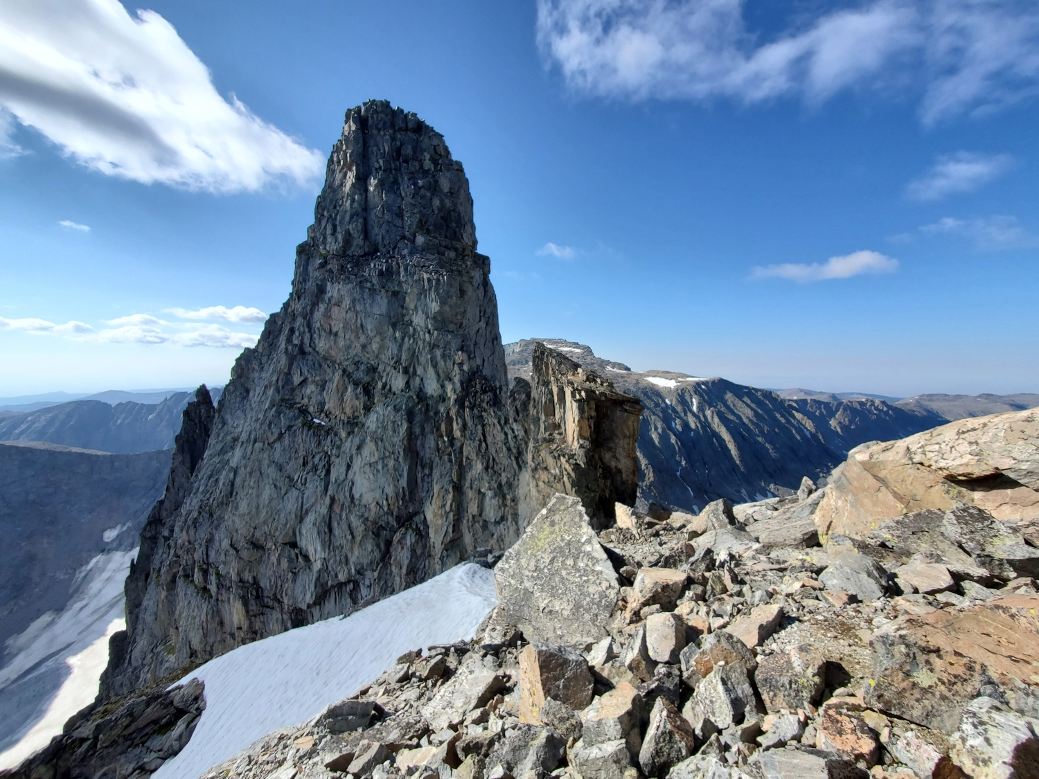
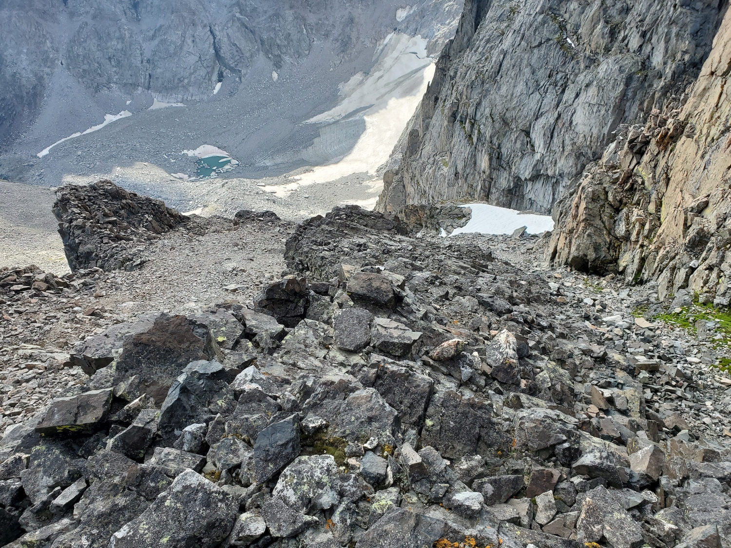
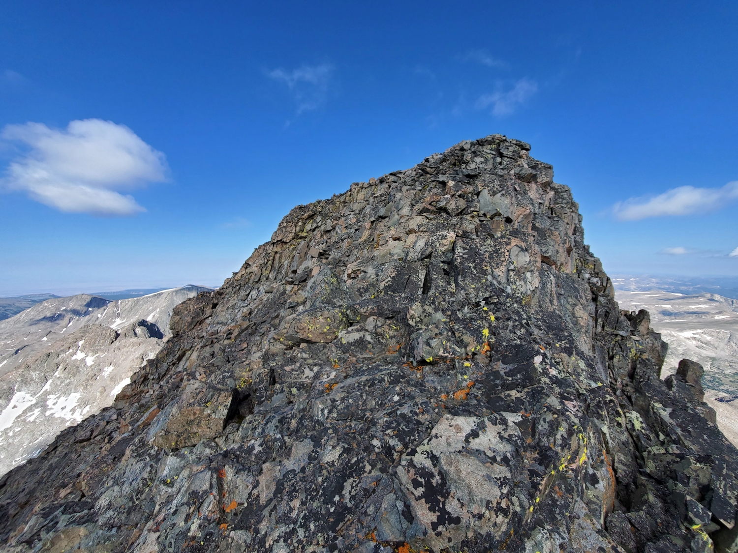
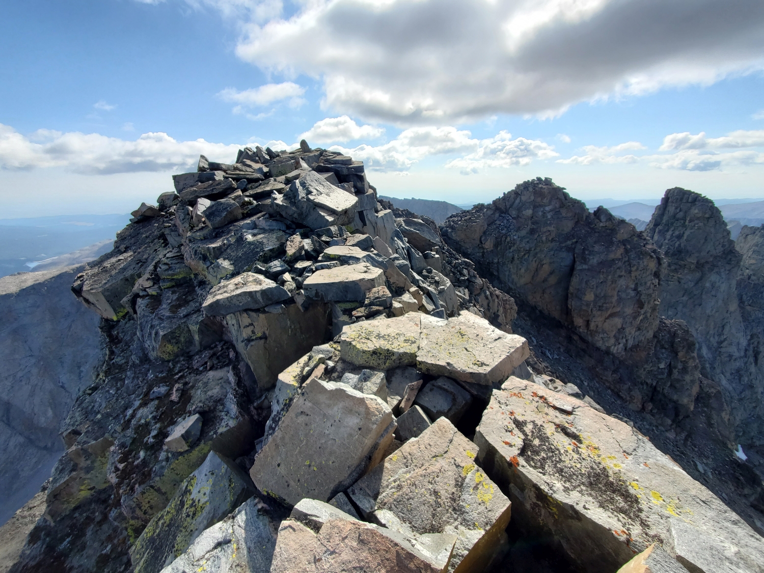
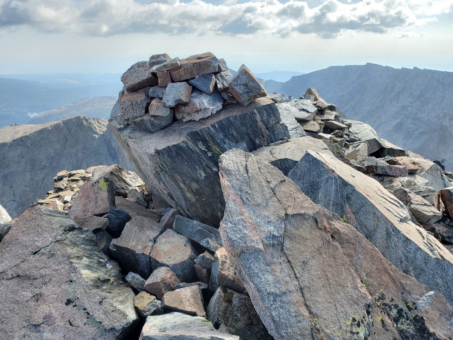
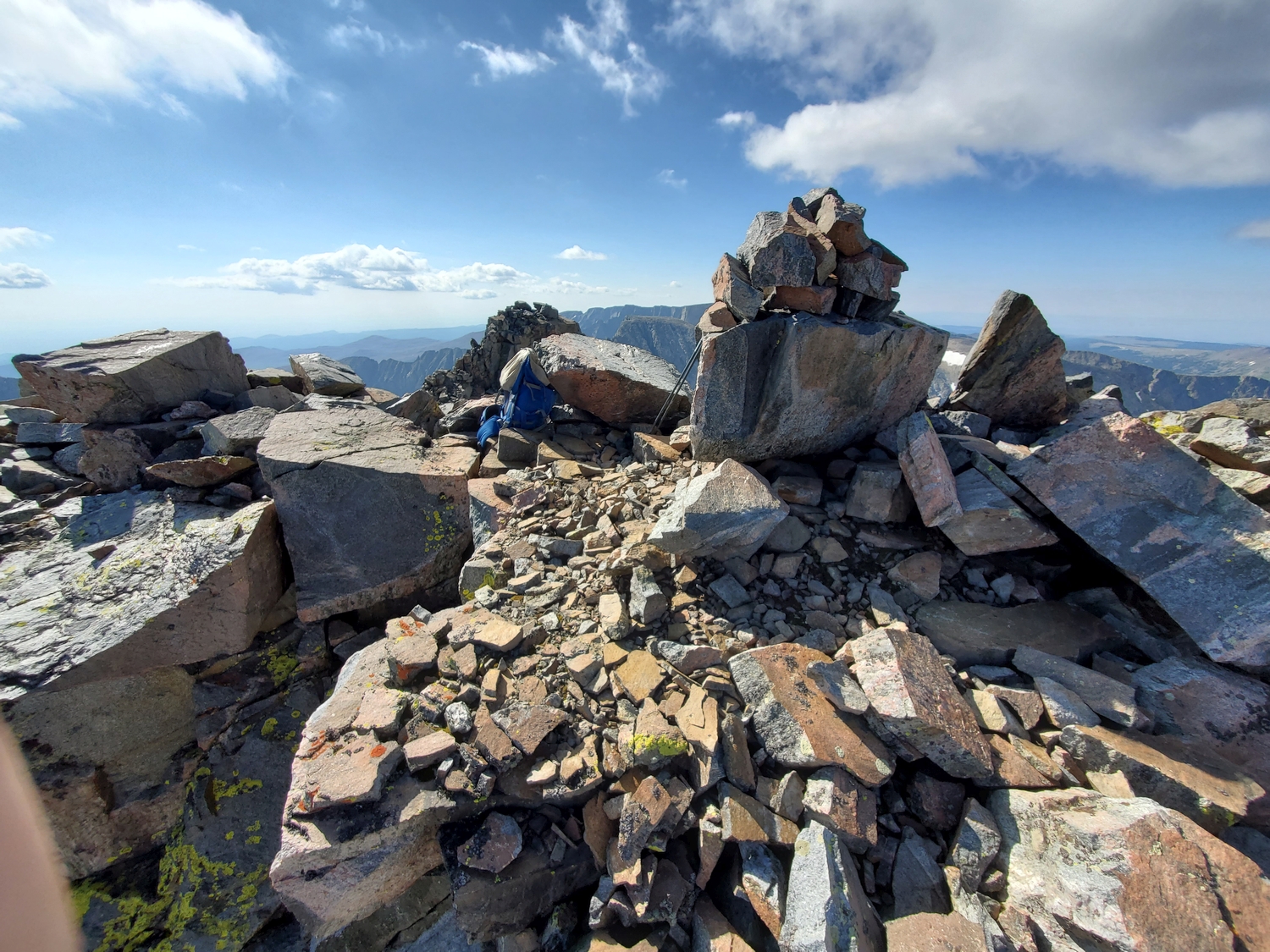
From a point just east of the ridge crest at the Black Tooth-Woolsey col, a scree gully parallels the east side of Black Tooth’s south ridge towards the summit. Either climb loose scree in the gully or seek out class 3 scrambling on the relatively solid black rock rib to the right. At the top of the scree gully, continue north along the short summit ridge to reach the highpoint.
Black Tooth Mountain Map
Black Tooth Mountain Panorama
Black Tooth Mountain Photos
-
- Black Tooth Mountain (center), with Mount Woolsey and the Innominate (both difficult 12ers) to the right (2020)
-
- The summit consists of two rock outcrops a hundred feet apart that are of very similar height; I made sure to visit both (2020)
-
- Panorama of the northern Bighorns and Kearny Creek watershed from the summit of Black Tooth Mountain (2020)
-
- Overview of the peaks in this region: Black Tooth, Woolsey, and the Innominate in the distance, with Cloud Peak on the right (2020)
-
- I was pleasantly surprised by how fast the weather had improved. Black Tooth, the only other 13er in the Bighorns, is the highest peak just left of center. The strikingly sharp peak is Mount Woolsey, a technical 12er, and the unassuming ridge on the right is the Innominate, known for having a summit domino that requires tricky aid or 5.11 free climbing to surmount. I’m lucky these harder peaks aren’t 13ers!
-
- I descend the chossy north face of Cloud Peak into Wilderness Basin to access Black Tooth’s standard route.
-
- The cairn and register are a bit east of the true high point, which is located a hundred feet farther along the ridge.
-
- Looking back at the cairned summit (left) and another false summit (right) from the western high point. I was right on schedule, or even a bit early, since it was now 11:40 a.m.
-
- Summit view north from Black Tooth. The skies were clear around the peaks, but a wall of approaching clouds was clearly visible to the north.
-
- Looking back up at the summit. Who would have expected the sky to be so blue with a forecast for storms?!
-
- Down in the basin, I’m relieved to have both summits in the bag, and I know that even if the storm returns, I’ll be on relatively unexposed terrain for the rest of the day. It’s time to relax and enjoy some of the pristine views!
-
- A few flowers were still hanging on, like these alpine asters. With a foot or two of snow expected tonight and tomorrow, it seemed like the seasons were changing before my eyes.
-
- I think these yellow flowers are some type of arnica. The grassy meadows are a welcome break from the rock, as always. My knees had gradually started hurting from sliding around on all the talus and scree.
-
- Hiking down Wilderness Basin is slow, as there are countless lakes, many of which are rim-rocked, so I have to constantly search for the best route.
-
- By 2 p.m., stormy weather has returned, and I’m glad not to be on the peaks anymore. Black Tooth is the split summit on the far left in the distance, and Cloud is the hulking massif on the right.
-
- As I reach the shores of Middle Cloud Peak Lake, the only named lake in Wilderness Basin, it appears that I’m about to get another rain squall.
-
- I waited out the worst of the squall by taking a snack break in the shelter of my tree. Far away, I could see sheets of rain swirling around the peaks in giant eddies. The wind was so strong on the alpine ridges that it sounded like a sheet of paper tearing, only a thousand times louder.
-
- The rain only lasts a few minutes, and the basin continues to get more sheltered as I get lower, so I’m in a good mood as I start hiking again. The autumn colors don’t hurt either.
-
- Lower Wilderness Basin is a mess of bushwhacking and use trails, but eventually I find the same game trail I used in 2020 to gain the trail above Lake Solitude.
DISCLAIMER: Mountain climbing is dangerous. Activities described on this page may lead to serious injury, death, and property damage. This webpage is presented with no warranty express or implied. Pictures and text are for entertainment purposes only. No commercial use allowed; all rights reserved.