Introduction
Downs Mountain is the northernmost 13,000-foot peak on the U.S. Continental Divide, the northern terminus of the highest part of the Wind River Range crest, and a beloved target of Wyoming wilderness wanderers. It is also the highest point of the Torrey Creek drainage, the author’s home valley, and the author’s favorite Wyoming 13er. The peak was likely named after John Downs, who was a Lander-based cattle rancher and explored this region according to the Bonneys.
General Considerations
Downs Mountain is one of the least-remote Wind River 13ers, but reaching its summit still requires more than 12 miles of hiking one-way from the Trail Lake Trailhead, with well over 6,000 vertical feet of elevation gain. However, compared to the >25-mile approaches to the most remote Wyoming 13ers in the heart of the Dinwoody-Titcomb region, Downs Mountain is relatively approachable and has been climbed as a day-hike.
Most climbers will want to undertake a multi-day ascent though, and Downs Mountain combines well with the other 13ers in the northern Wind River Range. The author has fond memories of two solo traverses: one from Downs to Flagstone, descending Pixley Creek and meeting a car shuttle at the Green River Lakes, and a second traverse of all the Divide 13ers from Koven to Downs in a single day, with a prior approach along the Glacier Trail. The options for devising your own adventure are infinite.
Route 1: East Ramp – Class 2+
Approach A: Glacier Trail
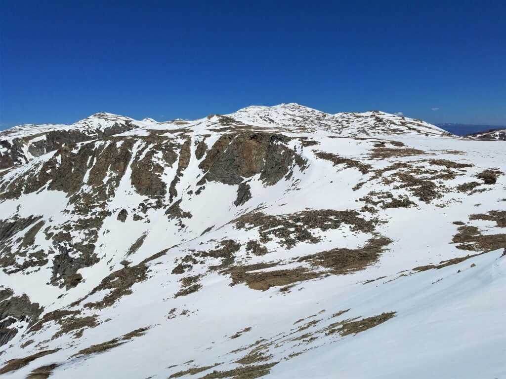
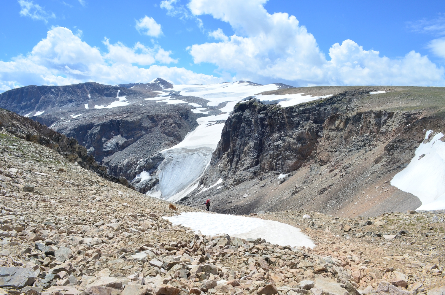
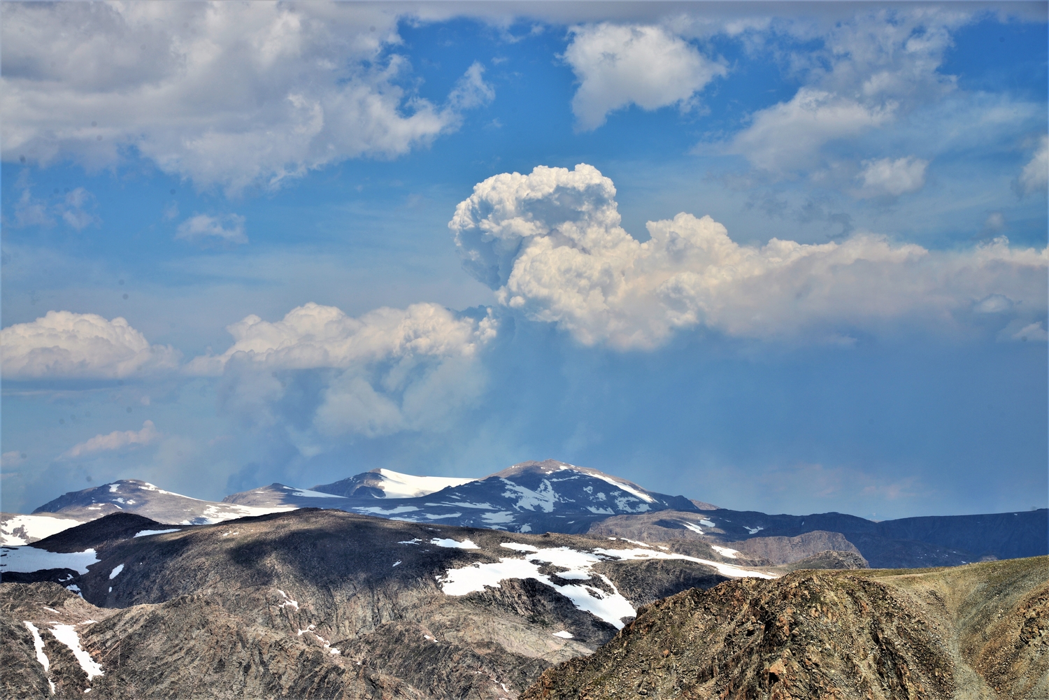
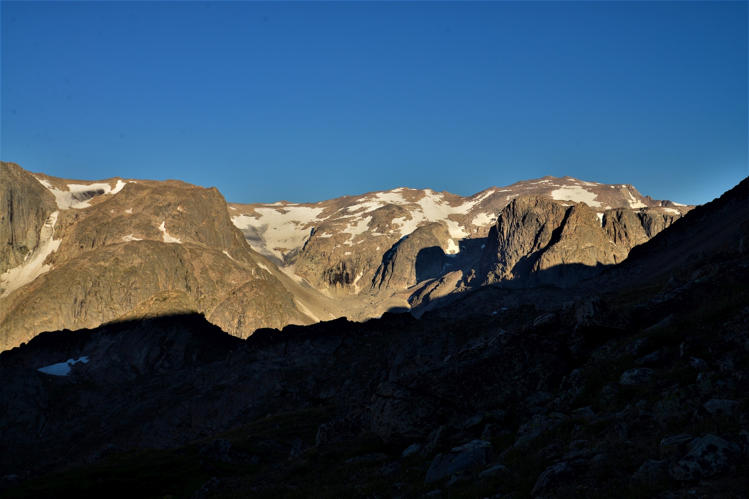
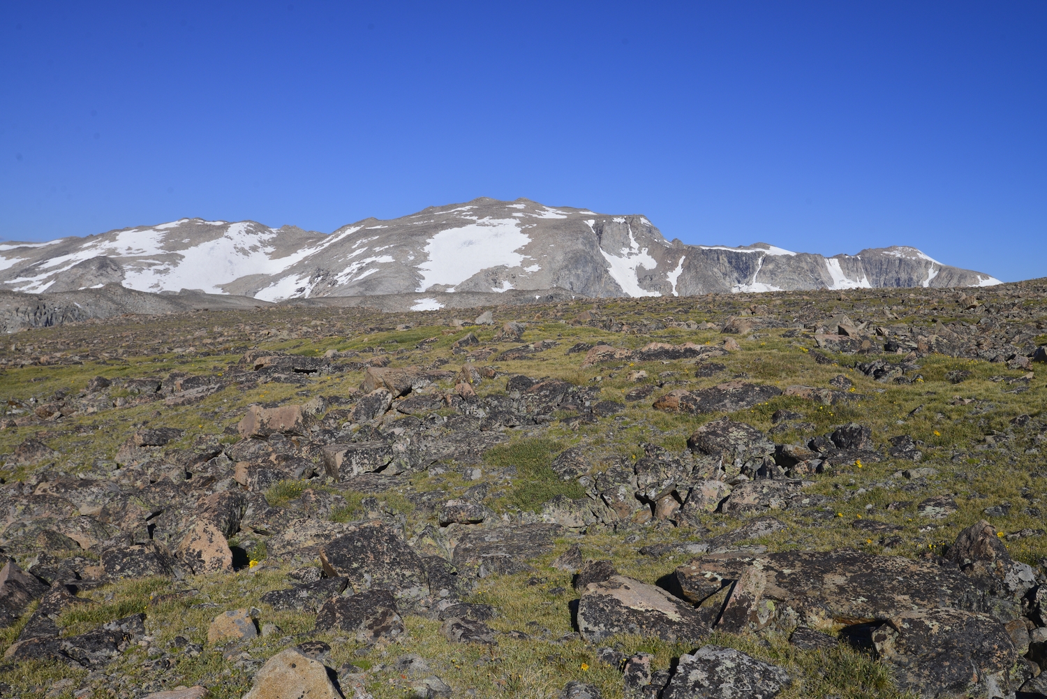
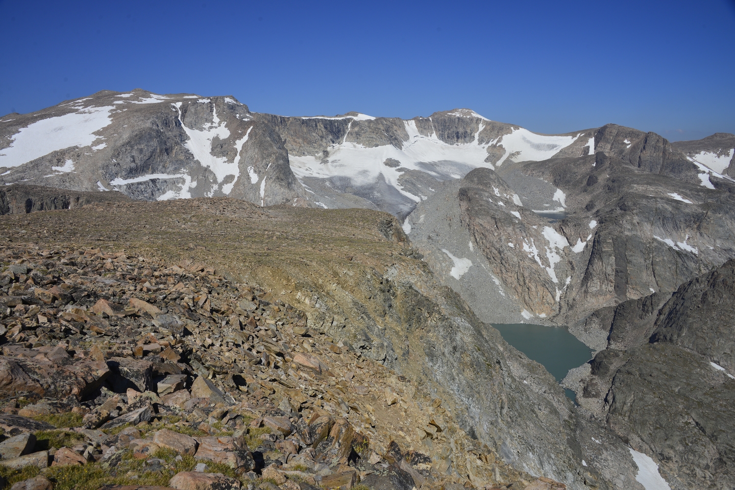
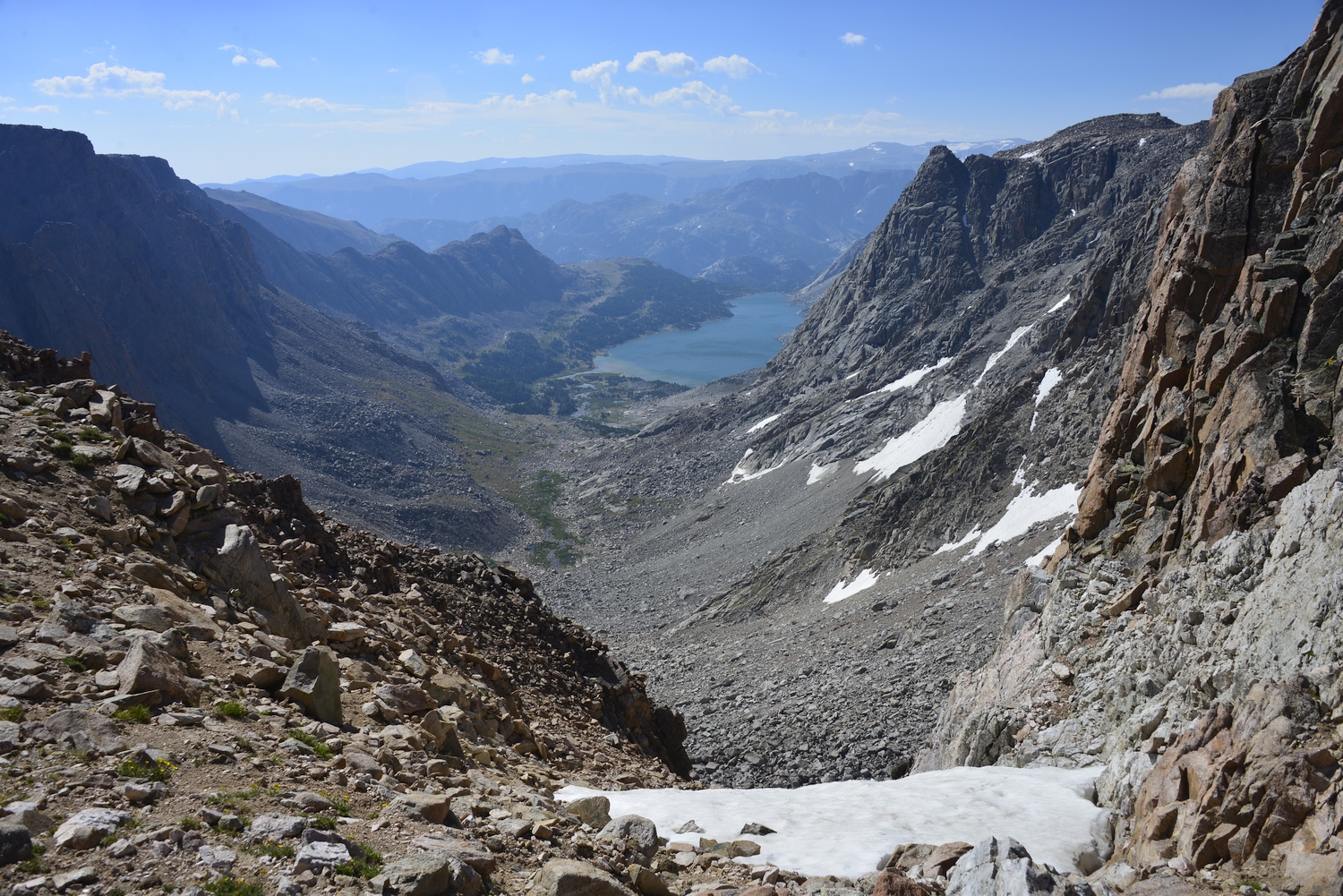
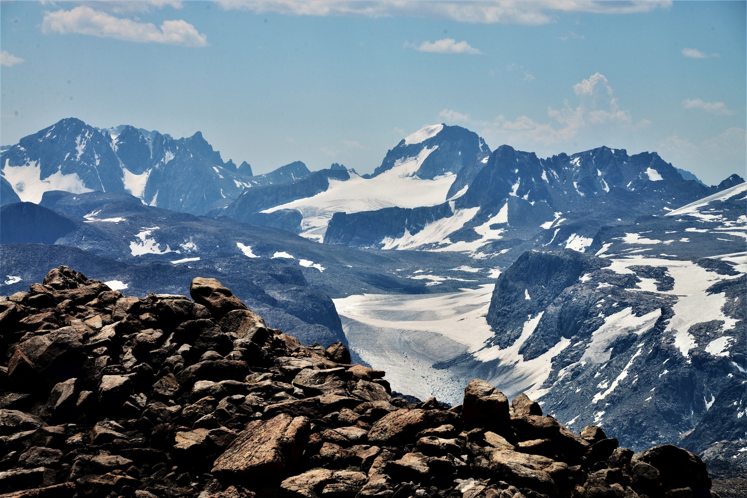
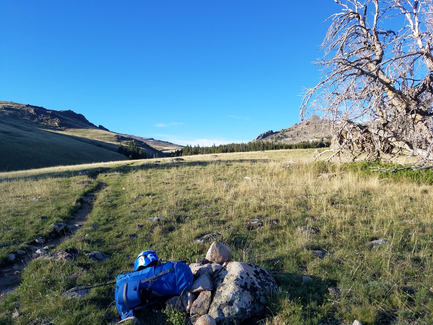
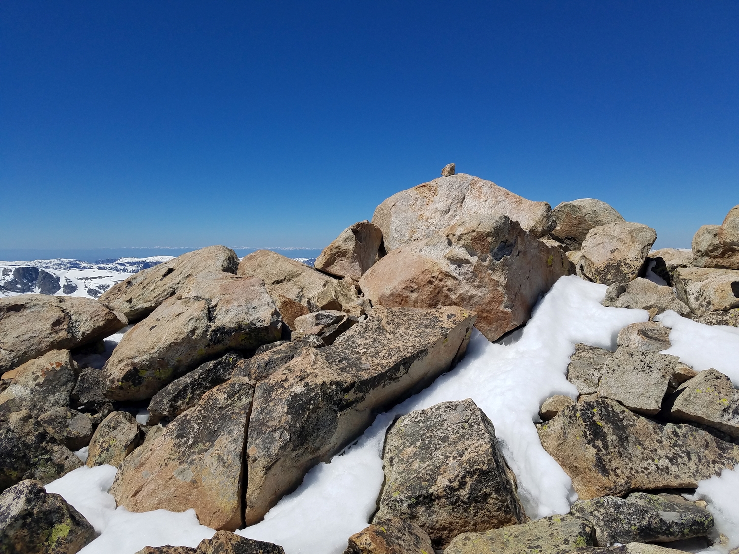
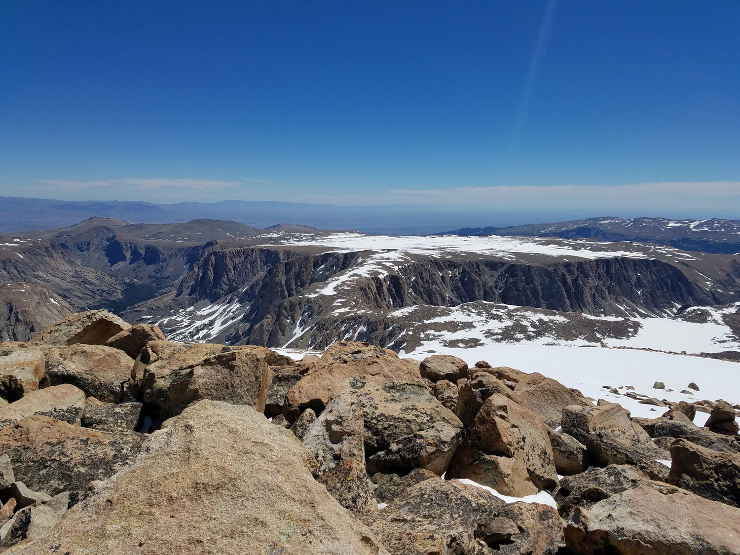
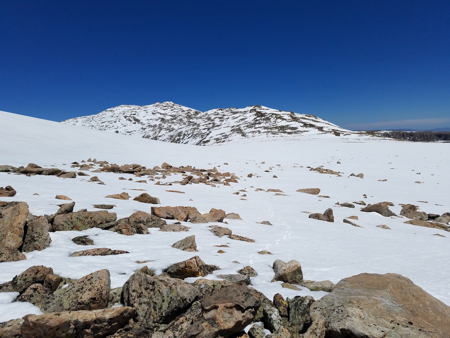
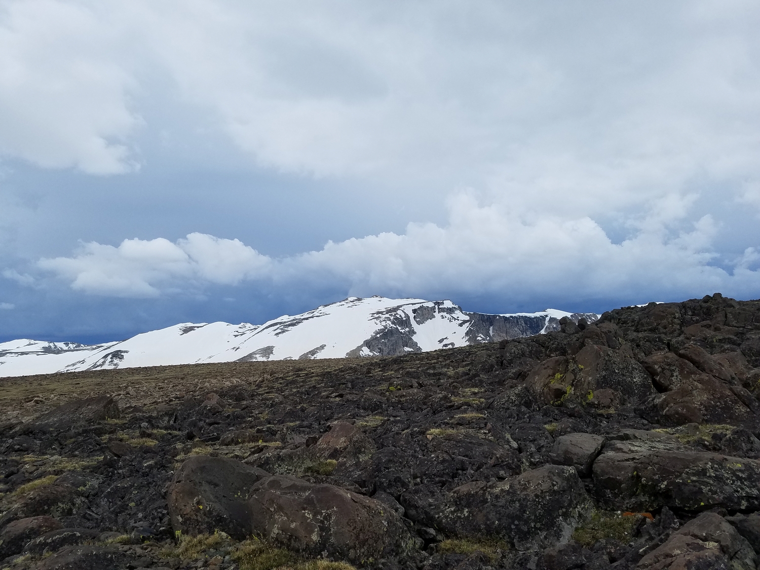
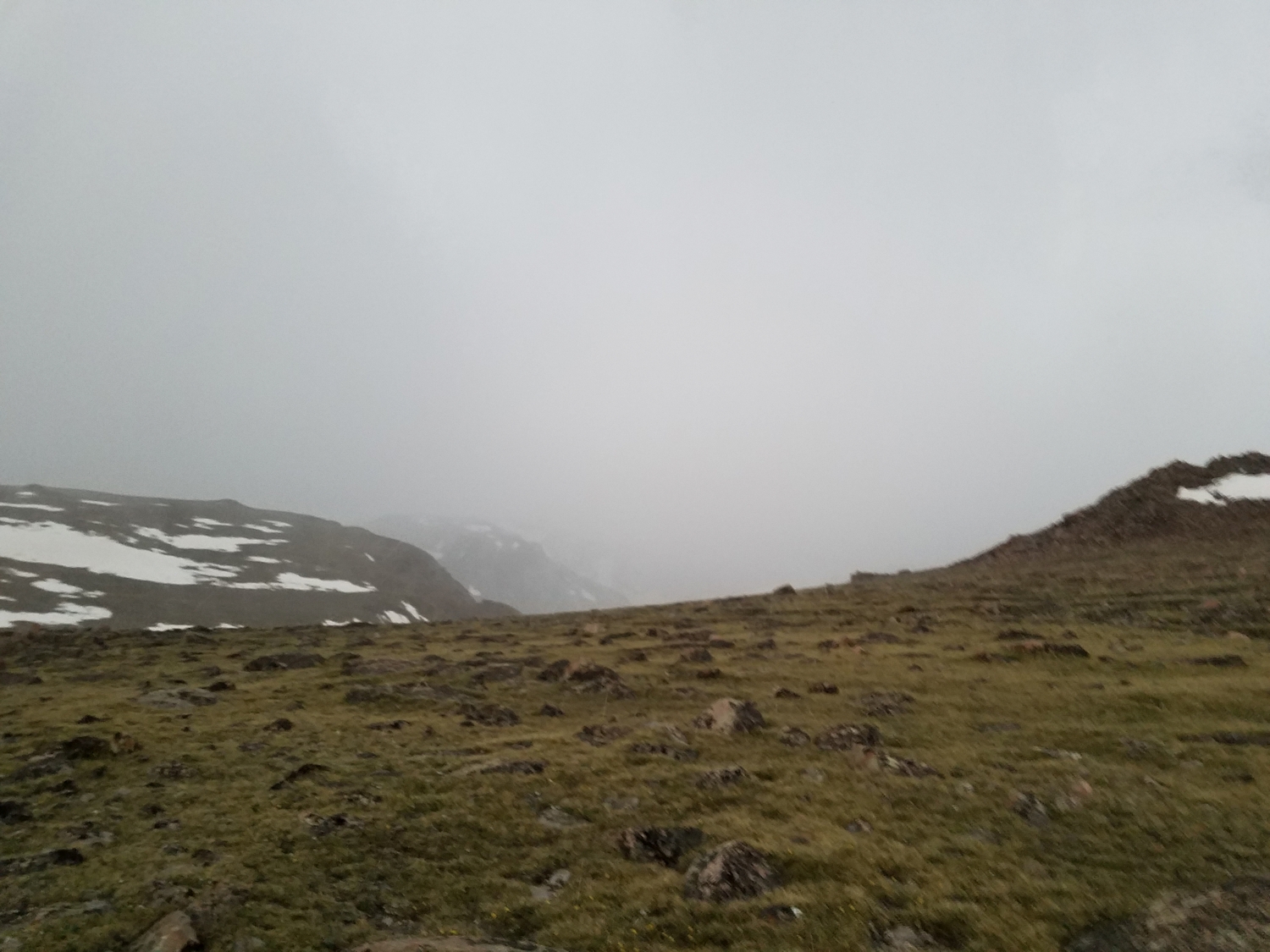
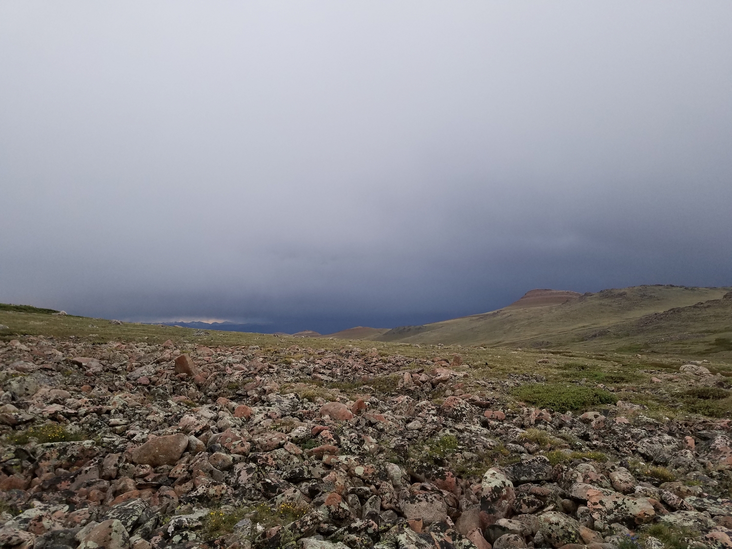
The east ramp route on Downs Mountain starts from the western edge of Goat Flat. The most direct way to get here is to hike the Glacier Trail from the Trail Lake Trailhead, leaving the trail at Arrow Pass (10,895 ft.) and traversing southwest across endless frost-shattered rock on the Goat Flat plateau (the summit of Goat Flat is actually a ranked 12er and has a register). There is no shelter between treeline on the Glacier Trail and the summit of Downs Mountain, a distance of more than 7 miles; beware rapidly emerging thunderstorms, which can appear from behind the Divide with little warning.
Approach B: Torrey Creek or Downs Fork
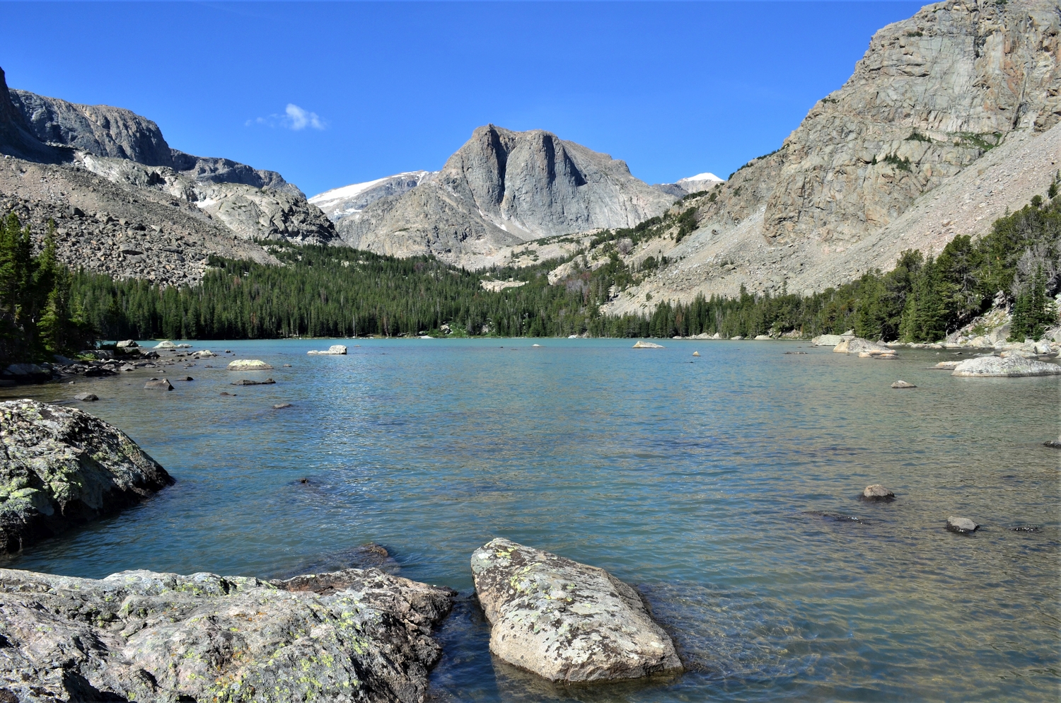
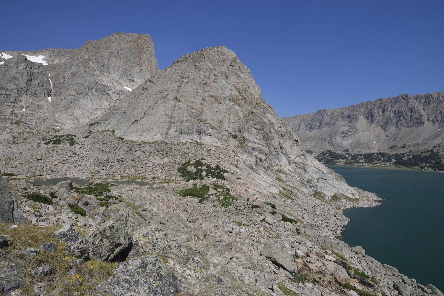
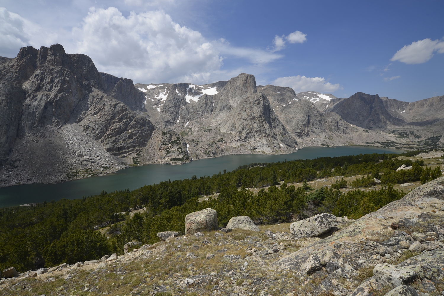
Alternatively, you can climb the north side of No Mans Pass from Lake 11309 in the Torrey Creek Valley or the south side of No Mans Pass from Downs Lake. There are also easier (but less-direct) routes onto Goat Flat from both of these valleys: from Bomber Lake in East Torrey Valley, a talus gulley leads southeast onto Goat Flat, and from a small unnamed valley just east of Downs Lake, a grassy slope leads northward onto Goat Flat.
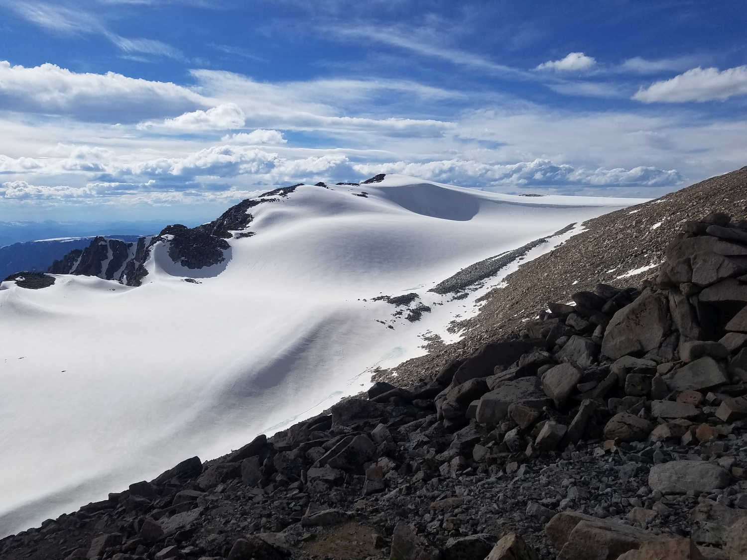
Final Ascent, All Approaches
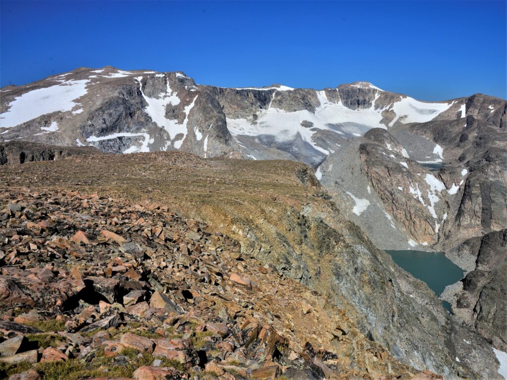
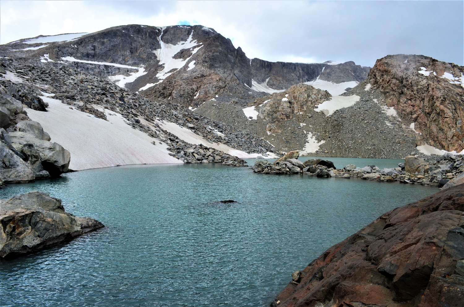
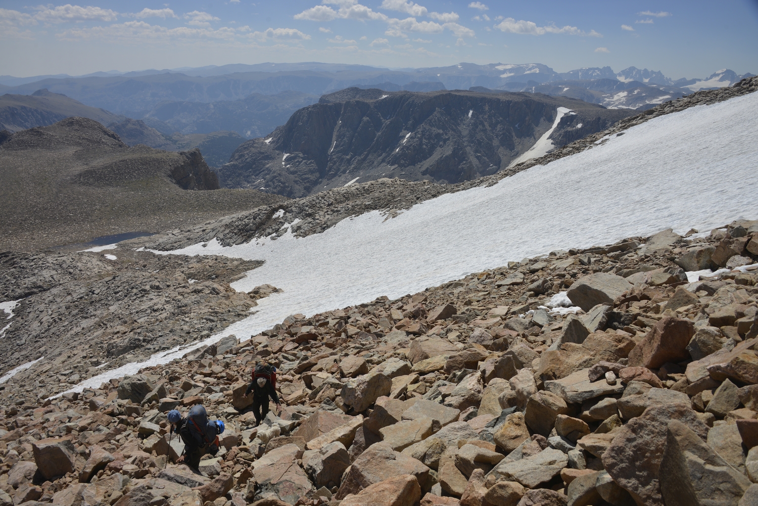
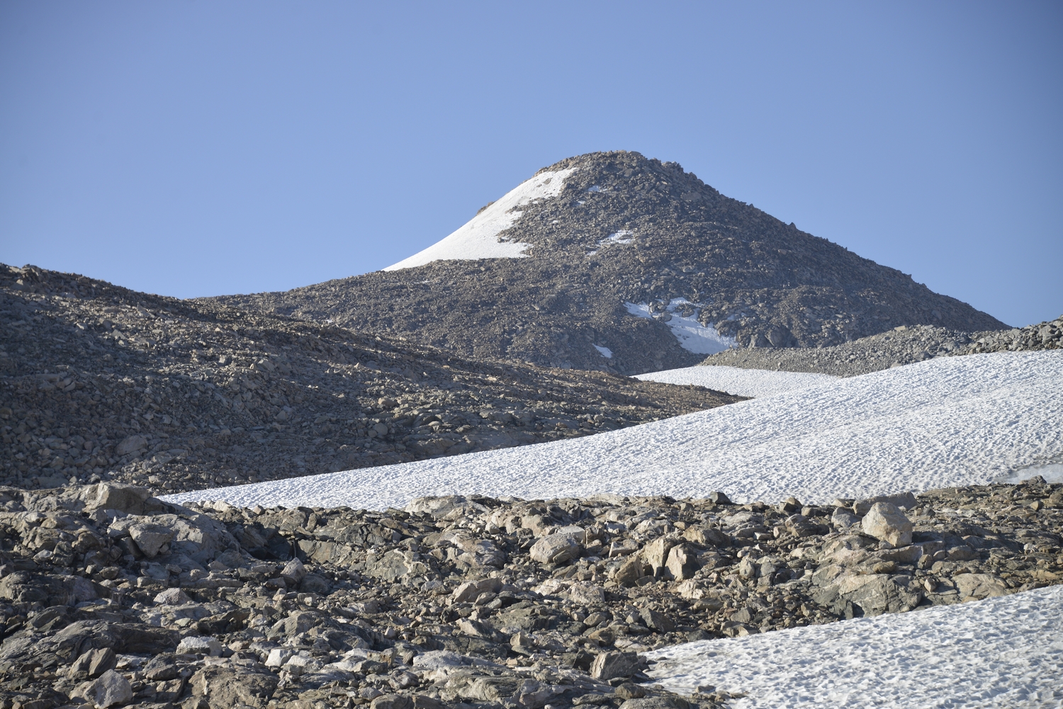
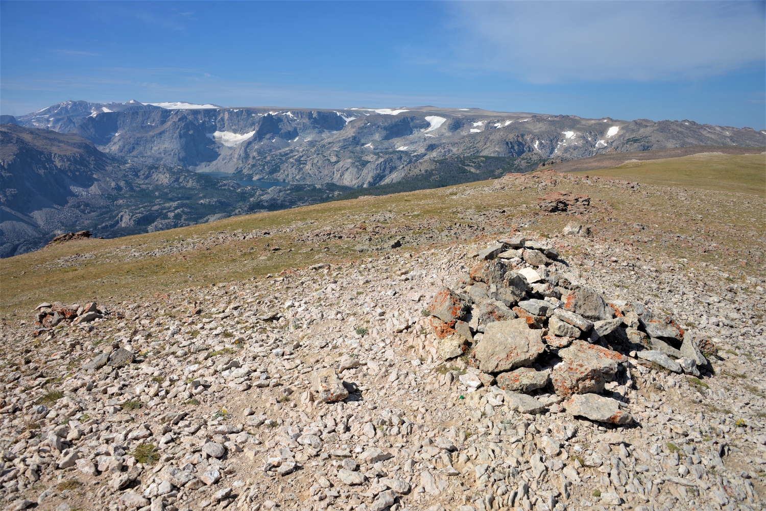
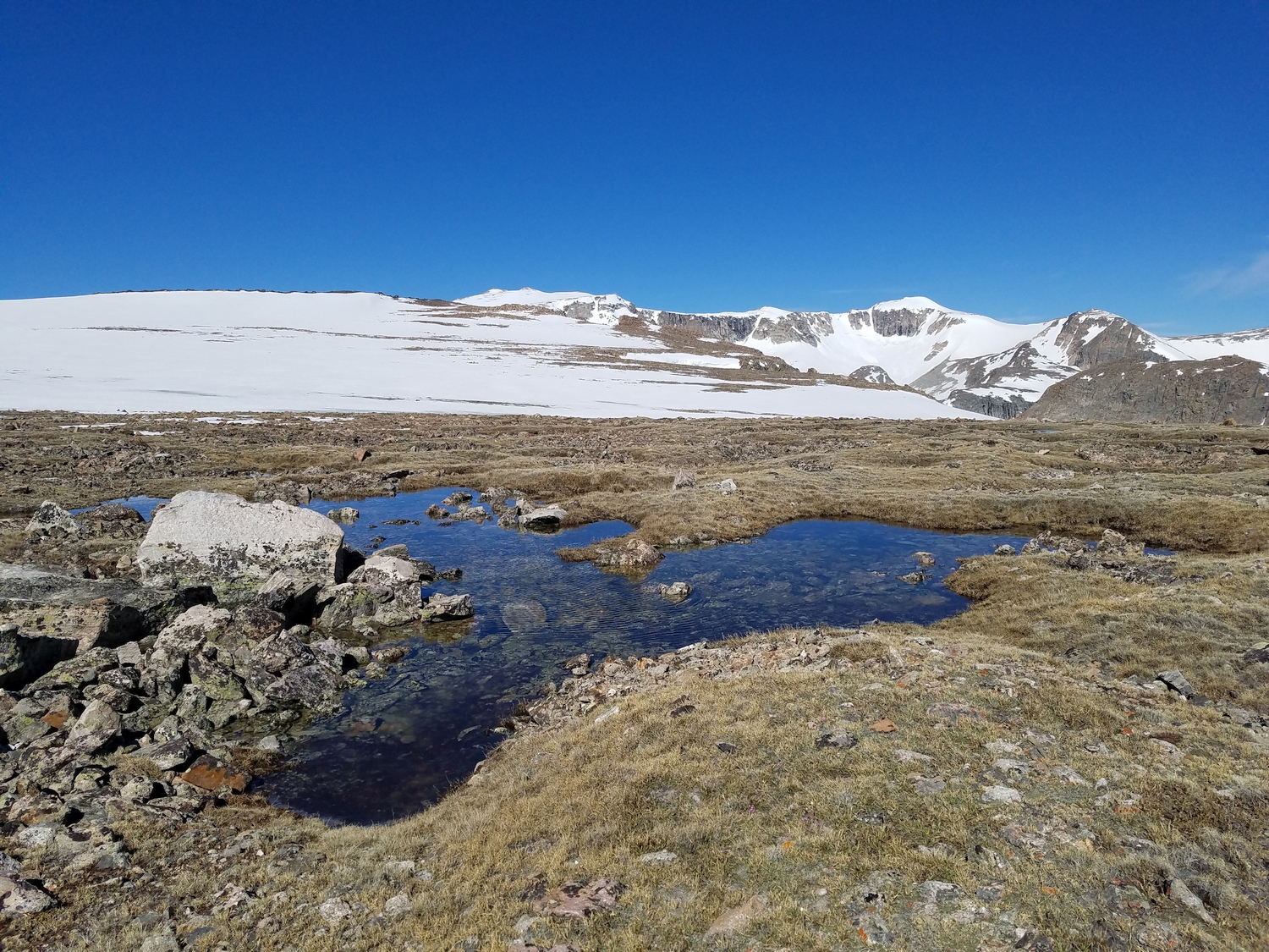
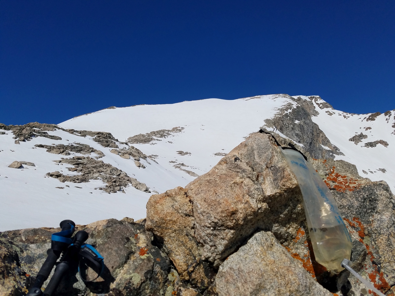
From the western side of Goat Flat, hike west across the top of No Mans Pass, which forms a land-bridge leading to Downs Mountain. There is often a small snowmelt pond just west of No Mans Pass at the base of Downs’s east slopes, a rare water source on the high, desolate plateau; some parties have made a high camp here.
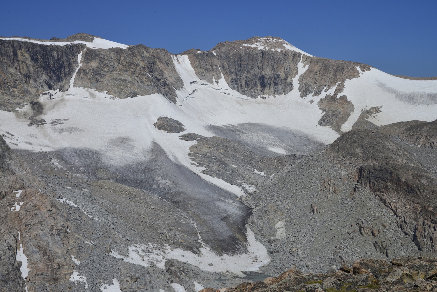
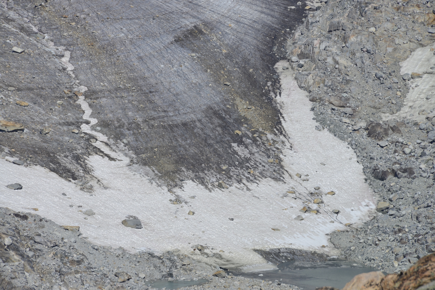
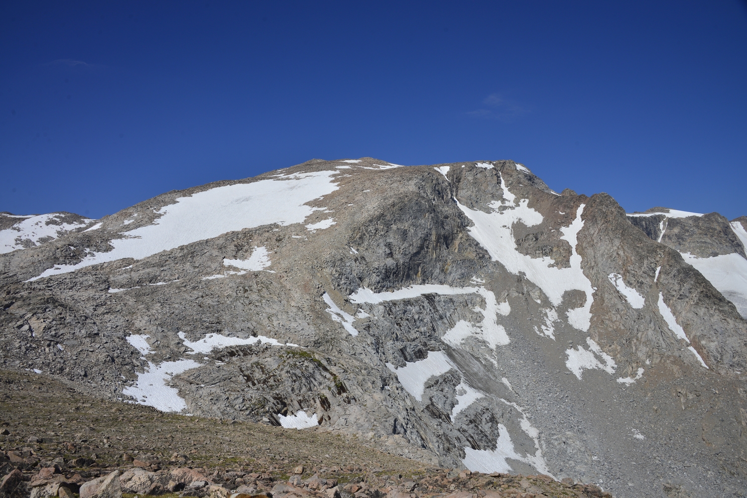
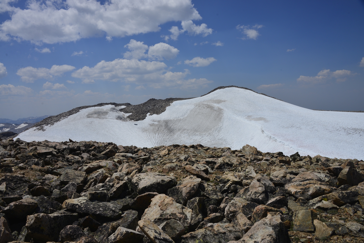
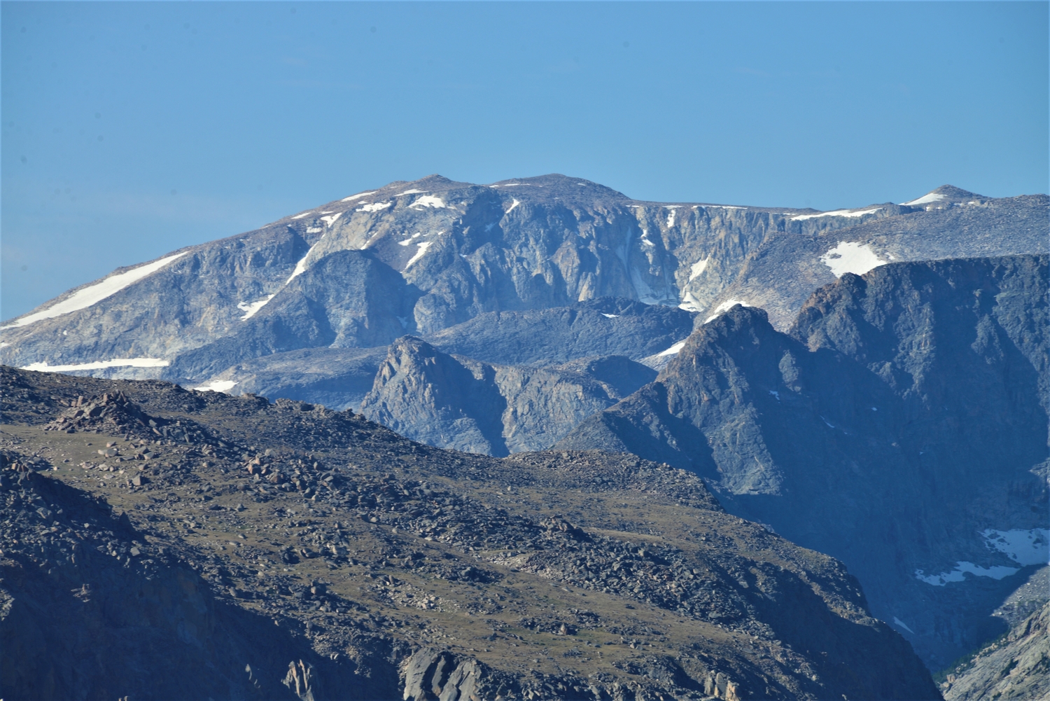
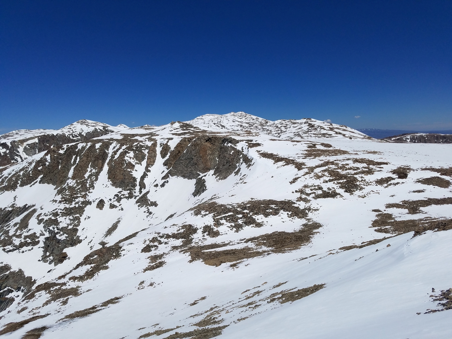
The ascent route climbs west up the broad east face to the summit. A large snow patch usually lingers on Downs Mountain’s east face late into the summer, but it is usually possible to bypass most of the snow via talus on the climber’s right. The ascent from this side is steeper and more likely to include snow than the other routes, earning this route its class 2+ rating.
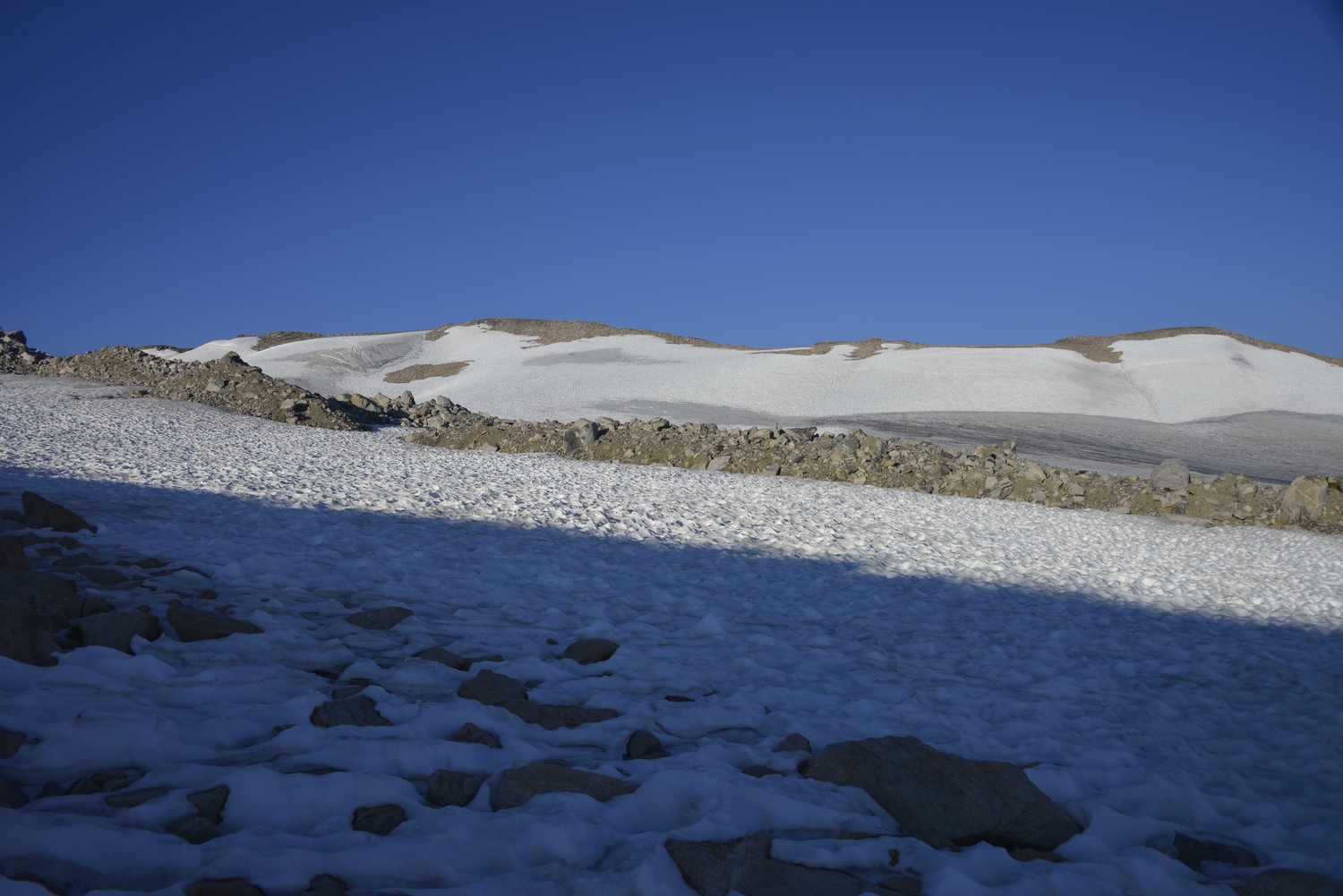
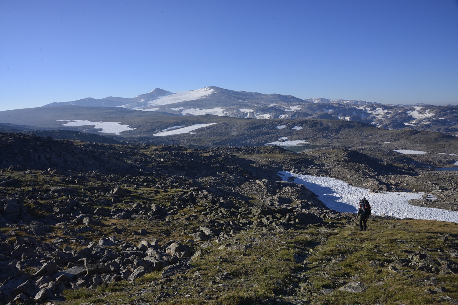
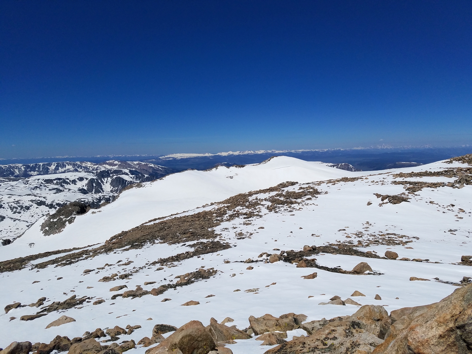
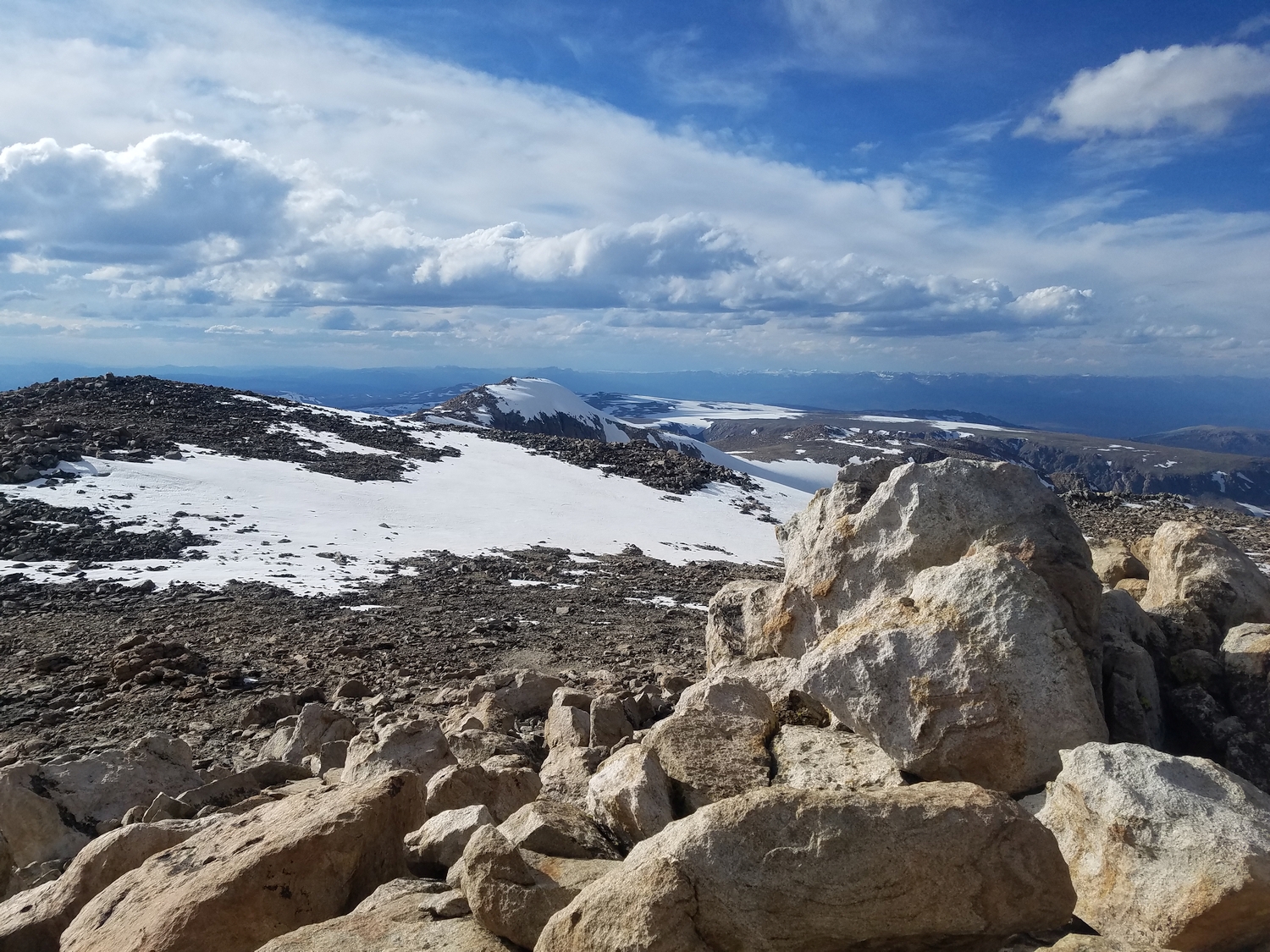
Route 2: North Slopes – Class 2
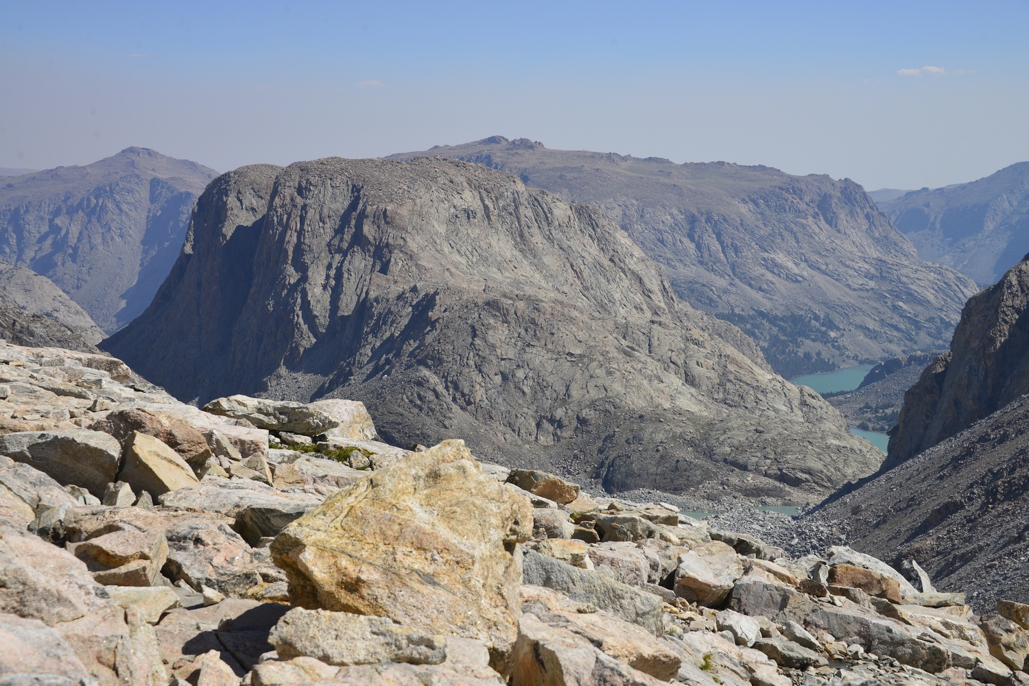
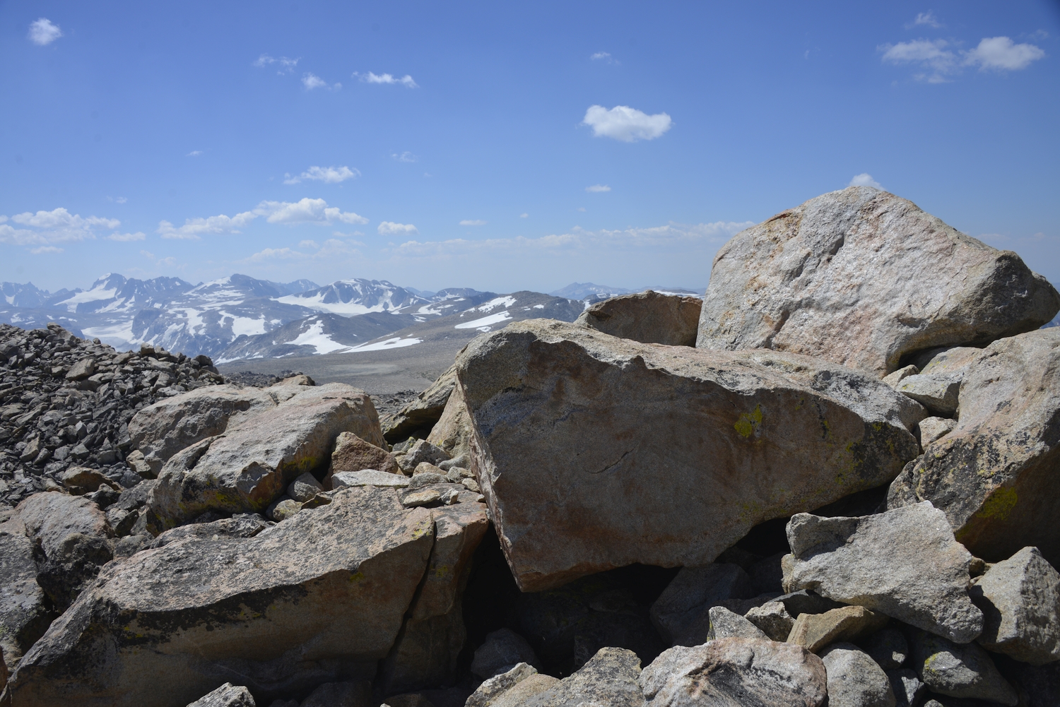
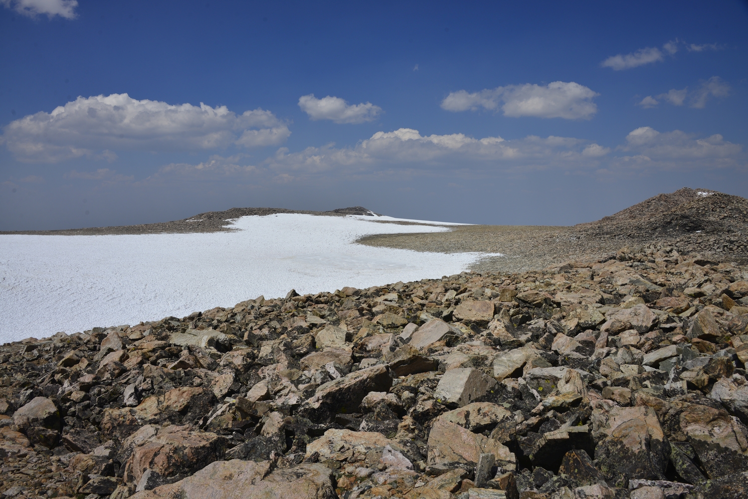
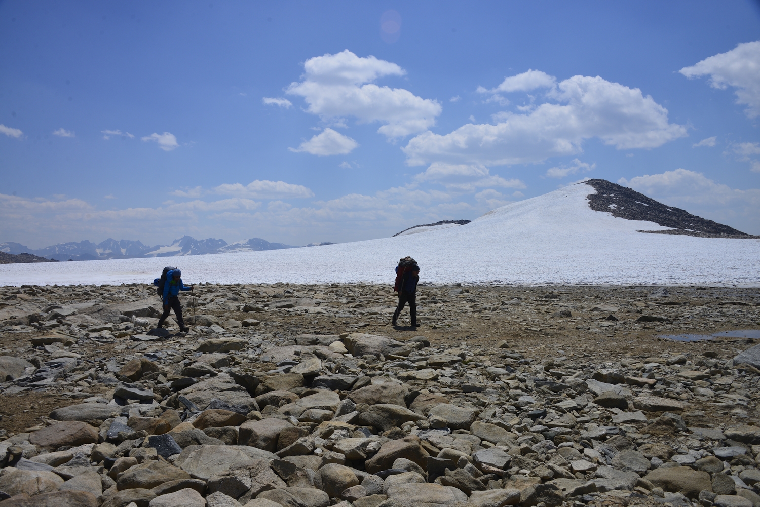
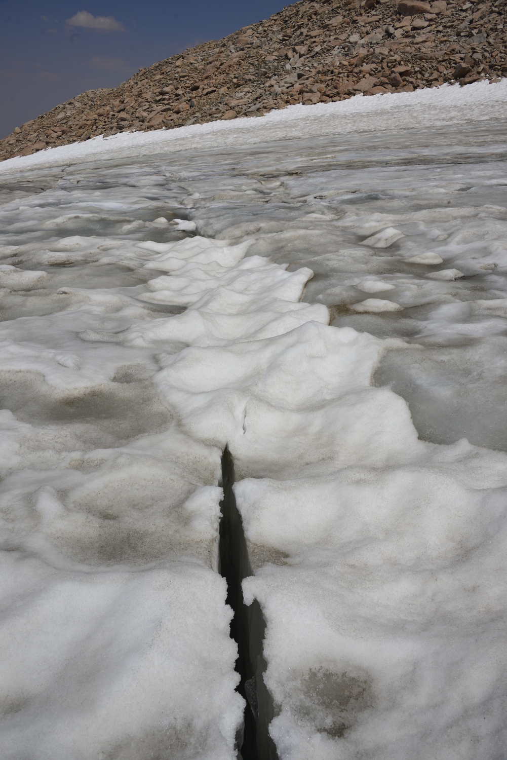
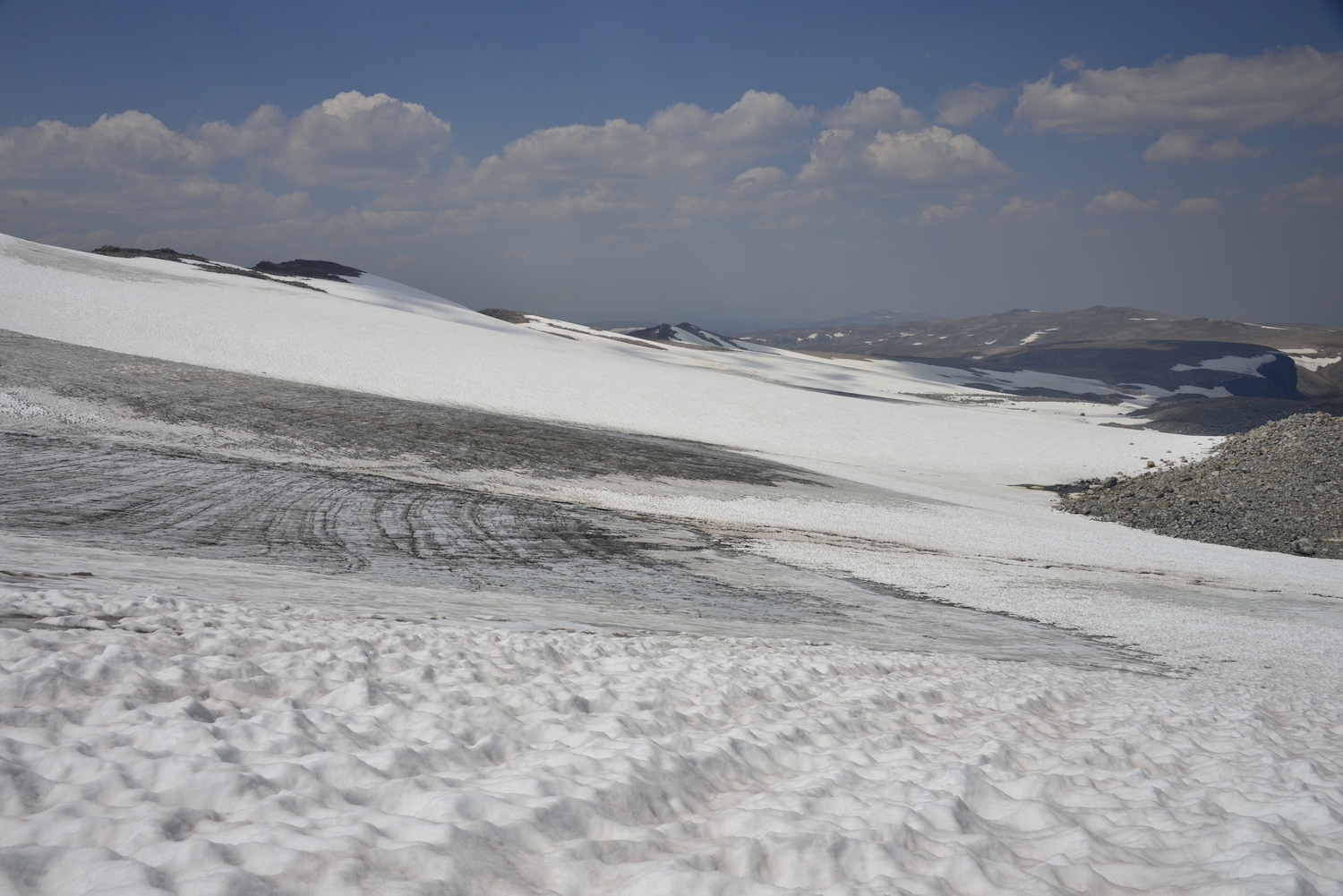
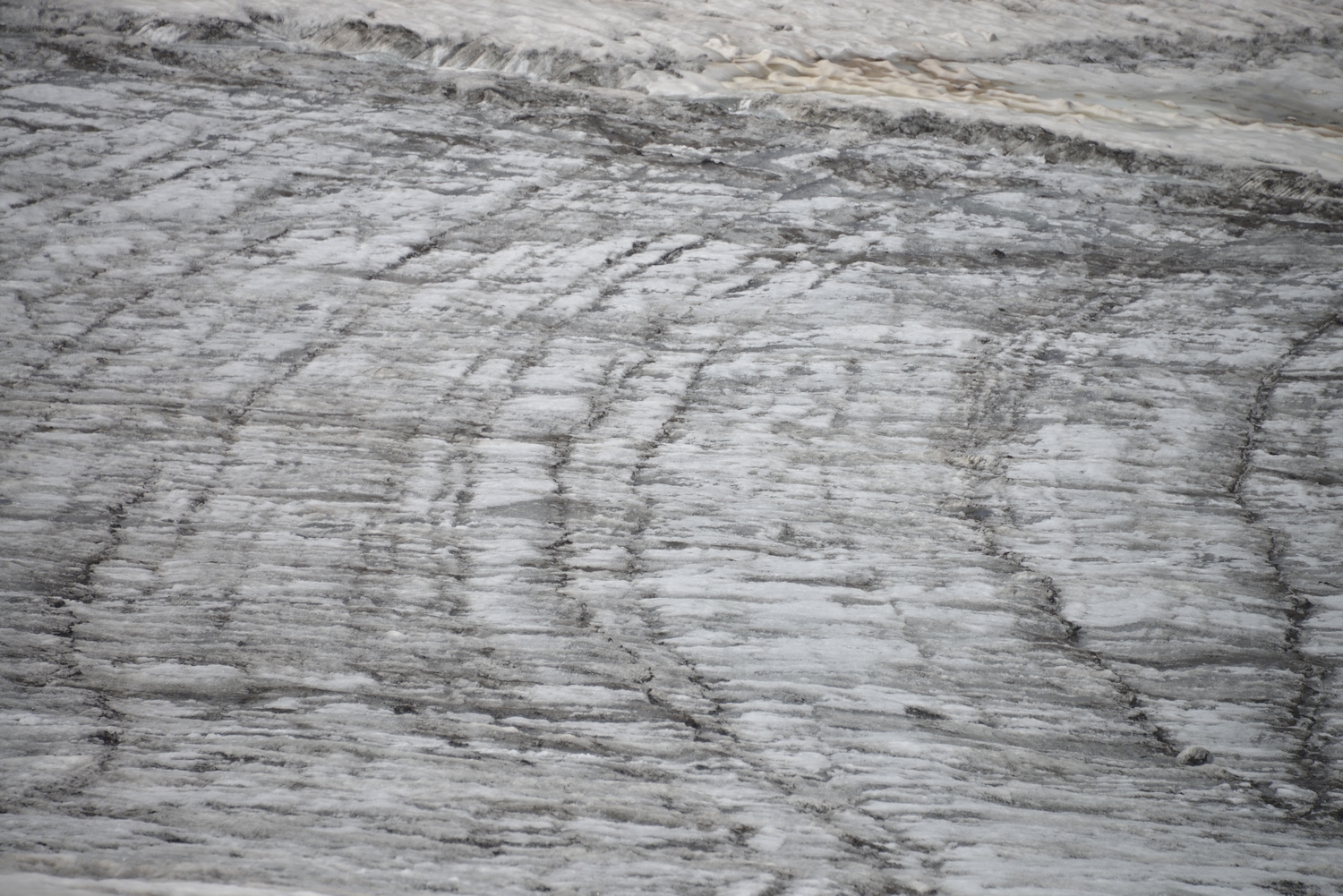
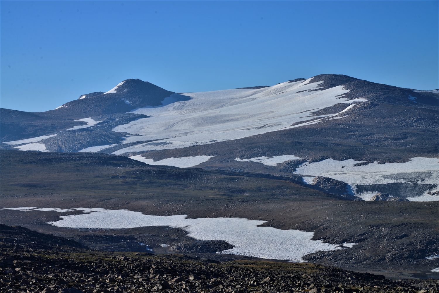
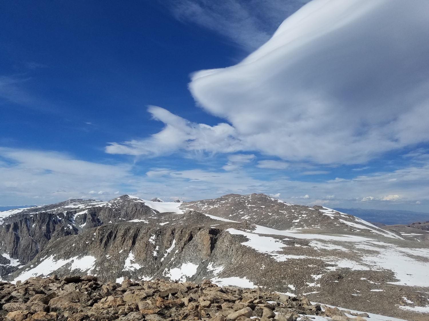
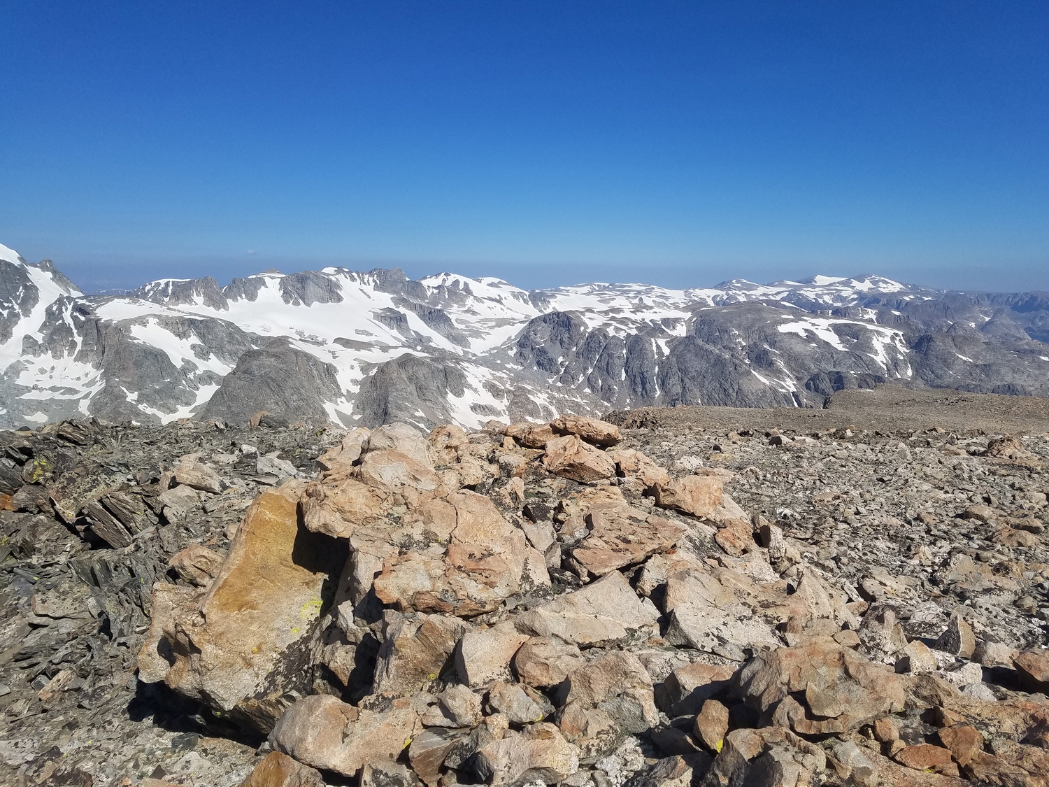
North of Downs Mountain, the Continental Divide becomes an even-broader plateau and drops gradually northward to Shale Mountain, at which point the Divide suddenly diverges westward towards Three Waters Mountain, leaving the Wind River crest. From anywhere in this great northern expanse, find your way to the Continental Glacier, a cool piece of ice that is sadly rapidly melting.
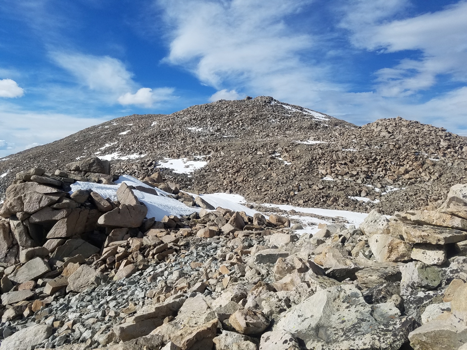
Work your way north along or near the glacier (note that despite its mellow appearance, the author has encountered crevasses), passing Downs Mountain’s northern subpeak Gjetetind (Point 13202) on climber’s left. The final ascent over moderate talus poses no more obstacle than the terrain in the rest of this area.
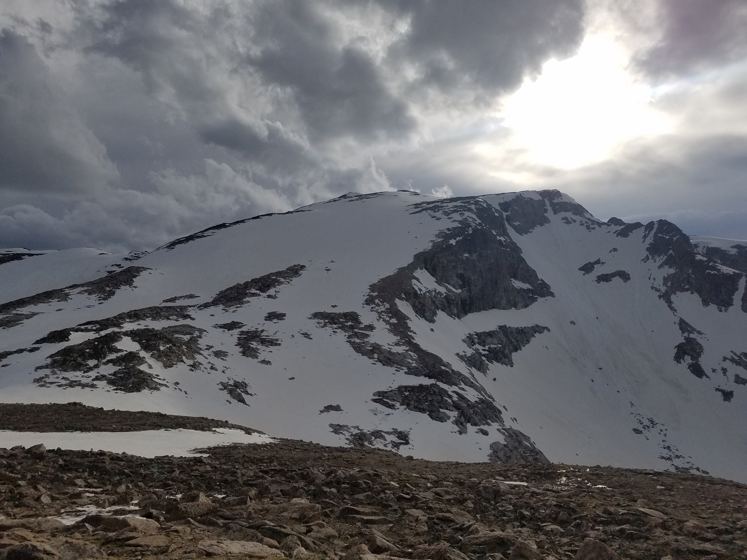
Route 3: South Ridge – Class 2
This route is particularly useful for climbers who wish to connect Downs Mountain with Boardman Peak and points farther south. From the Divide plateau north of Boardman Peak, a blocky talus ridge leads to Downs over a series of small false summits, but traversing on the west side of the ridgeline affords slightly easier travel. As the western slopes steepen, you may find it advantageous to cross the ridge crest, heading due north up the final 400 feet to the top of Downs Mountain.