Introduction
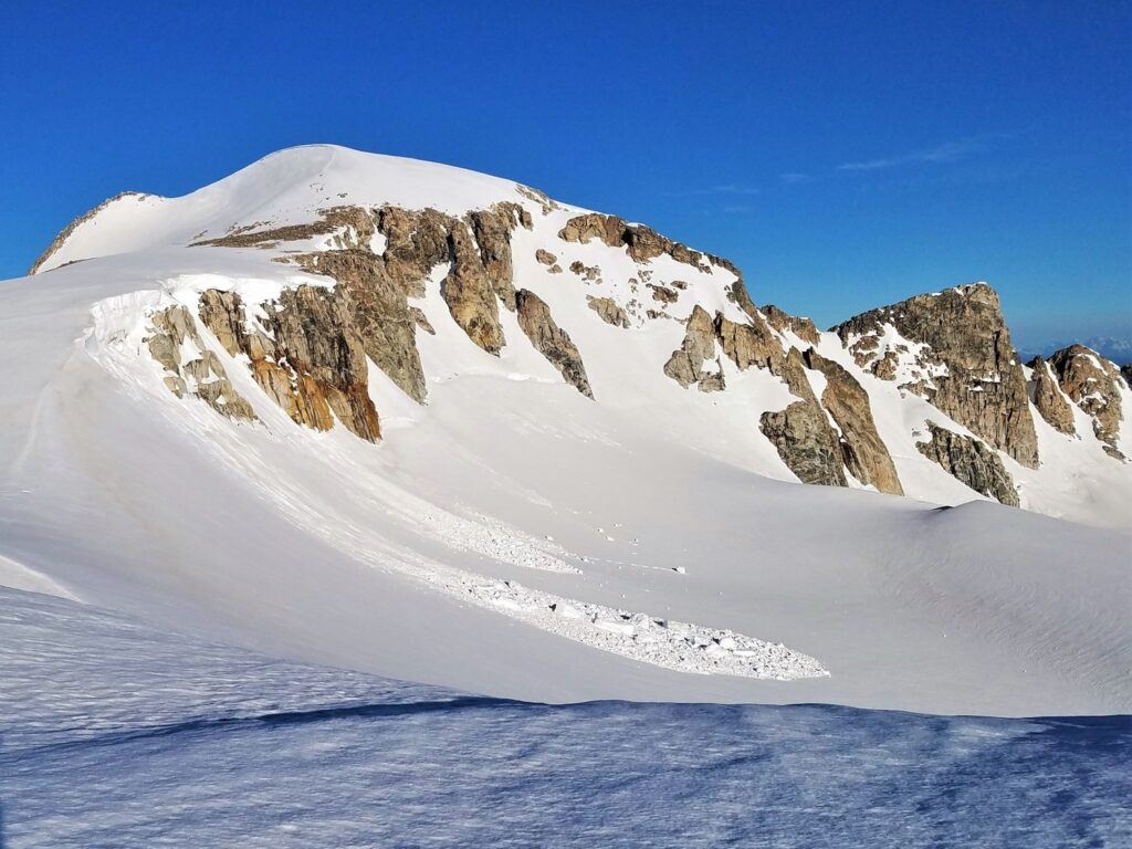
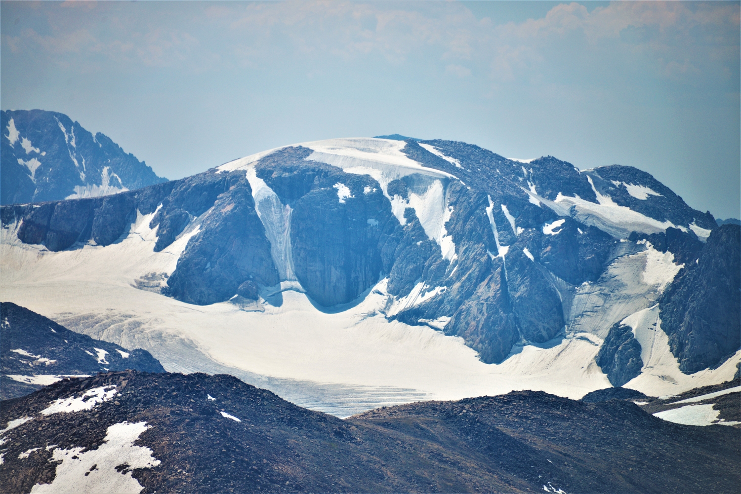
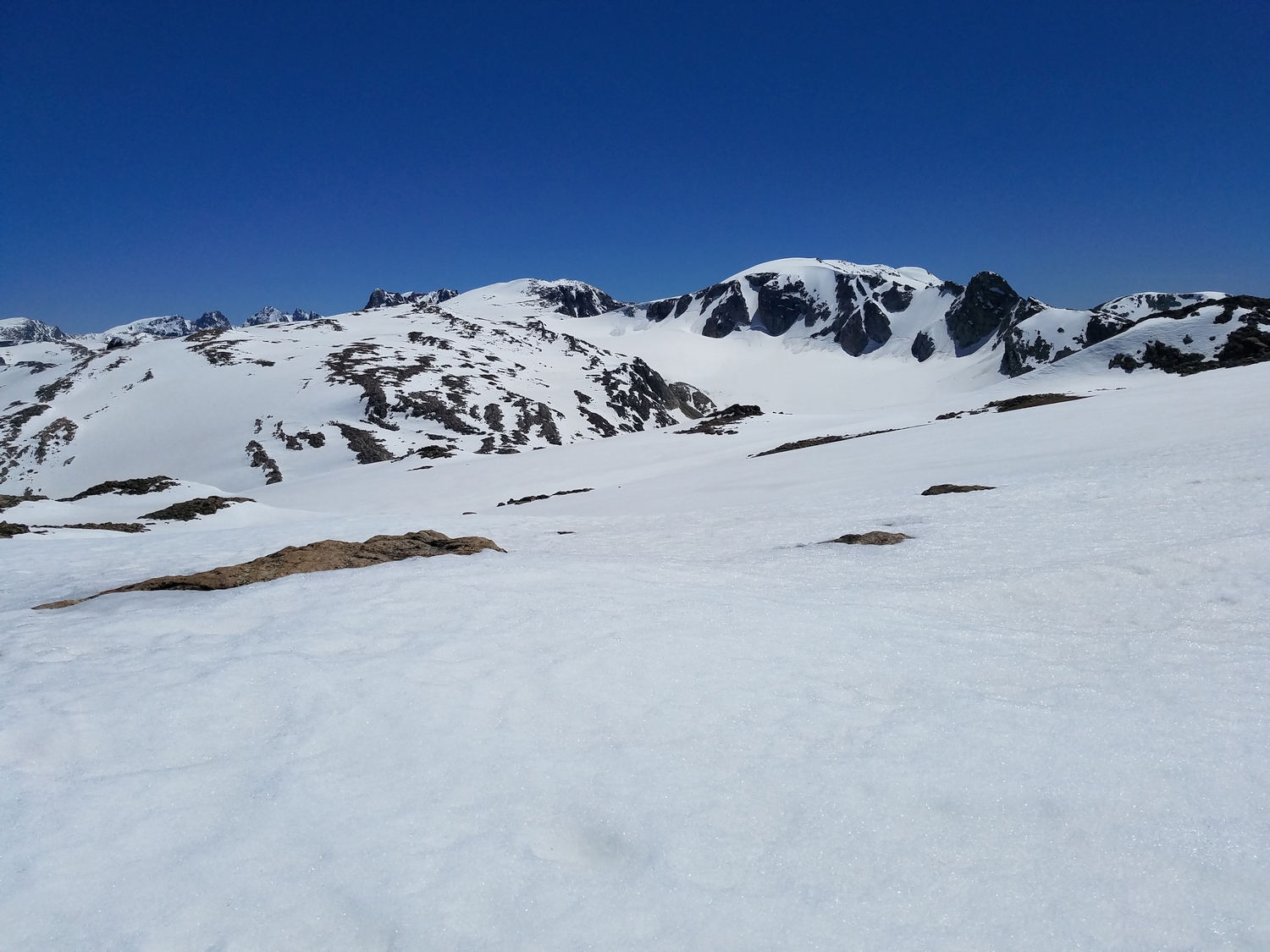
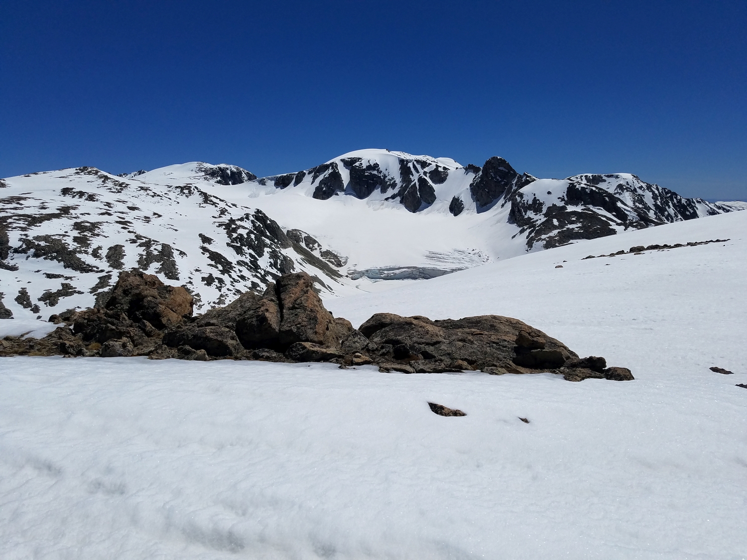
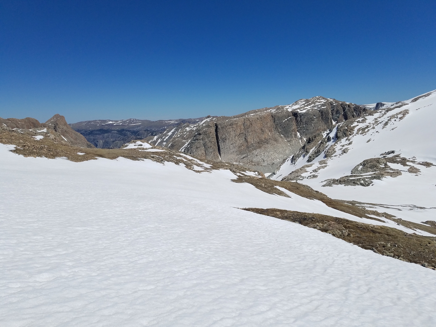
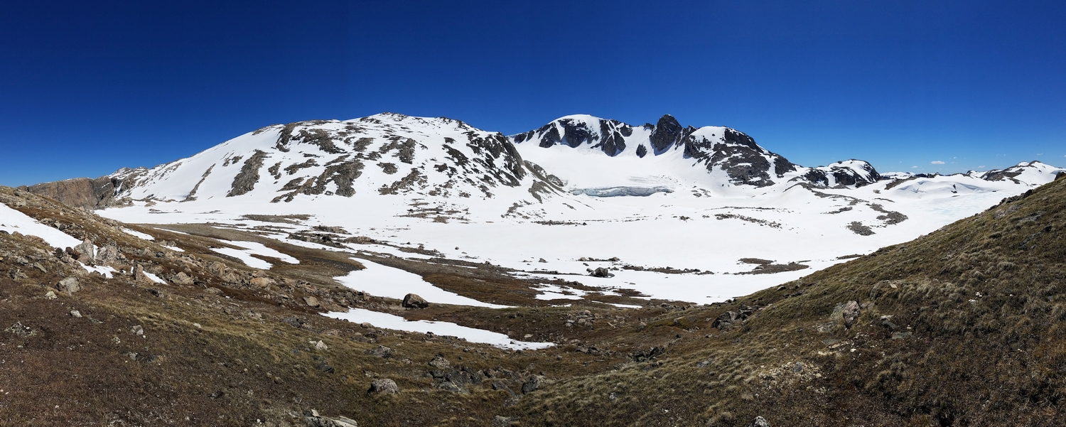
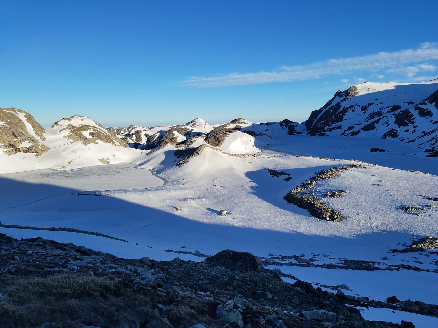
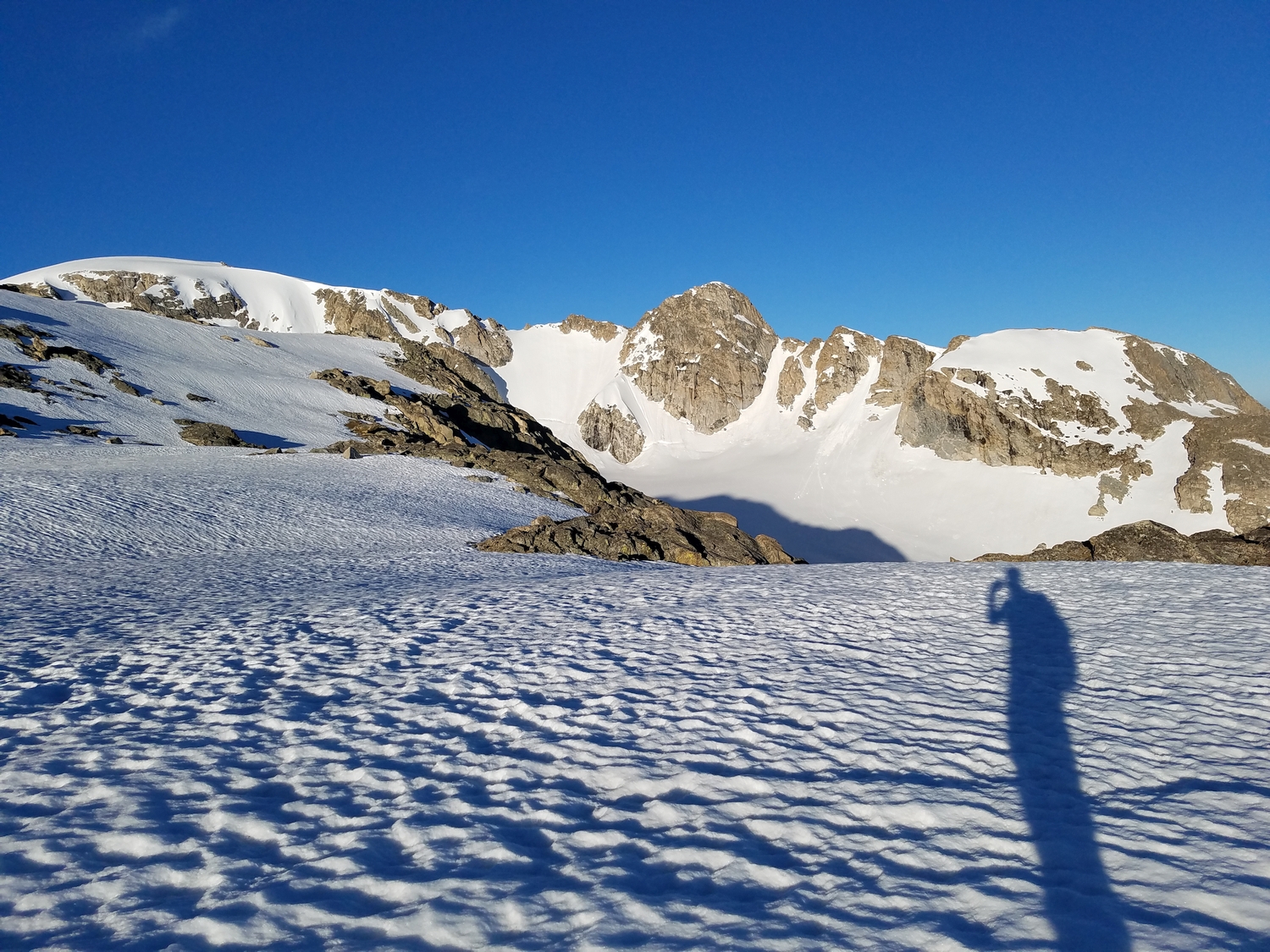
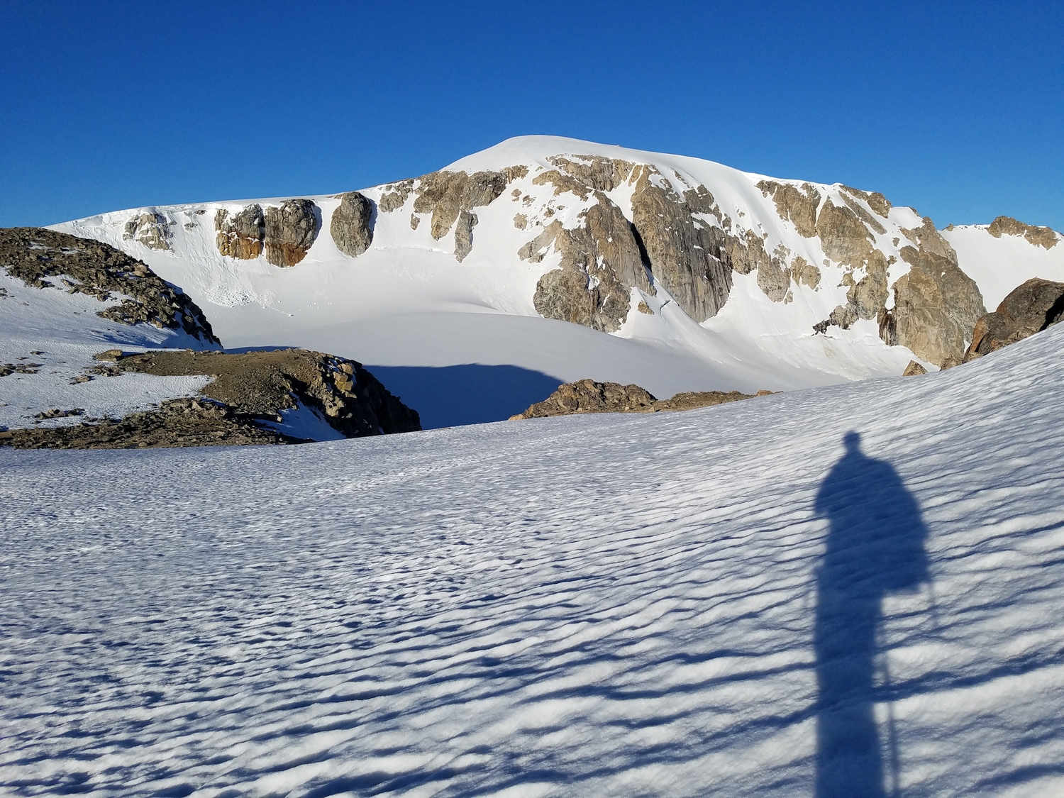
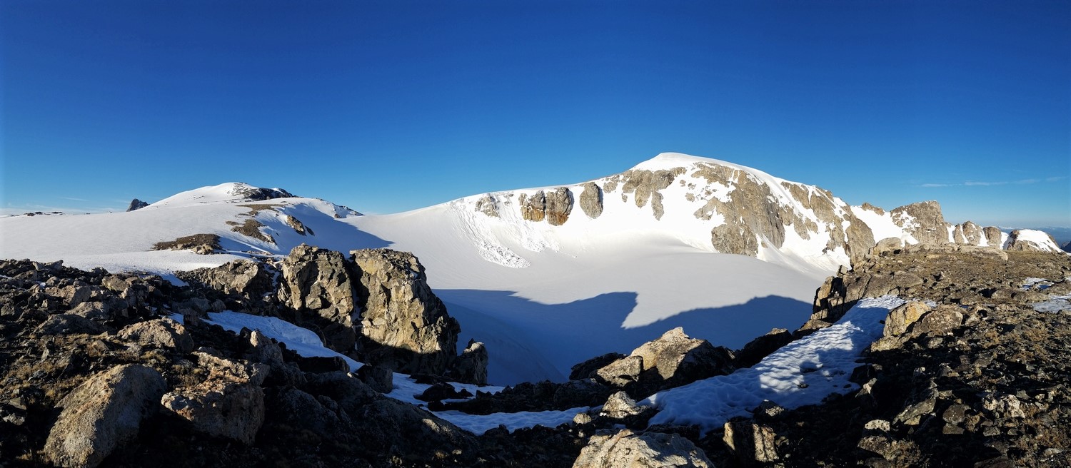
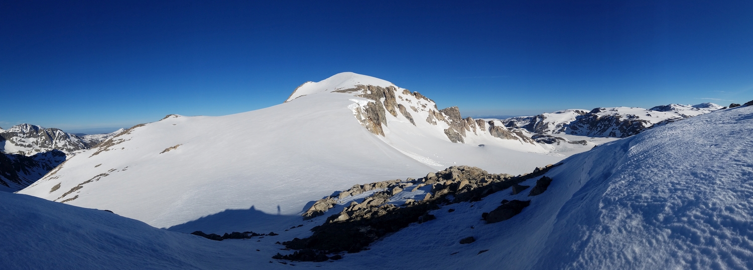
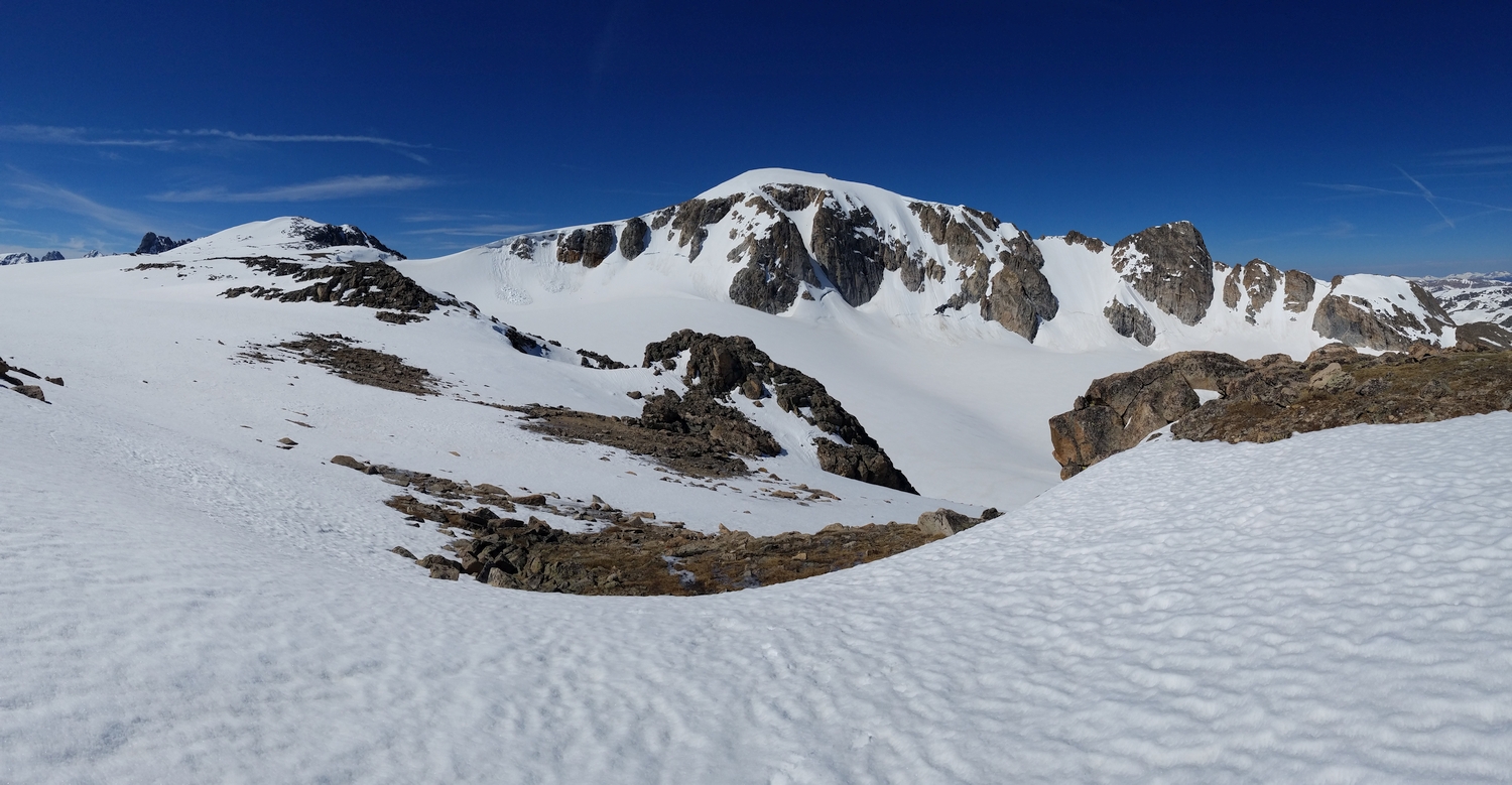
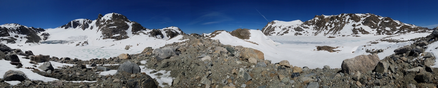
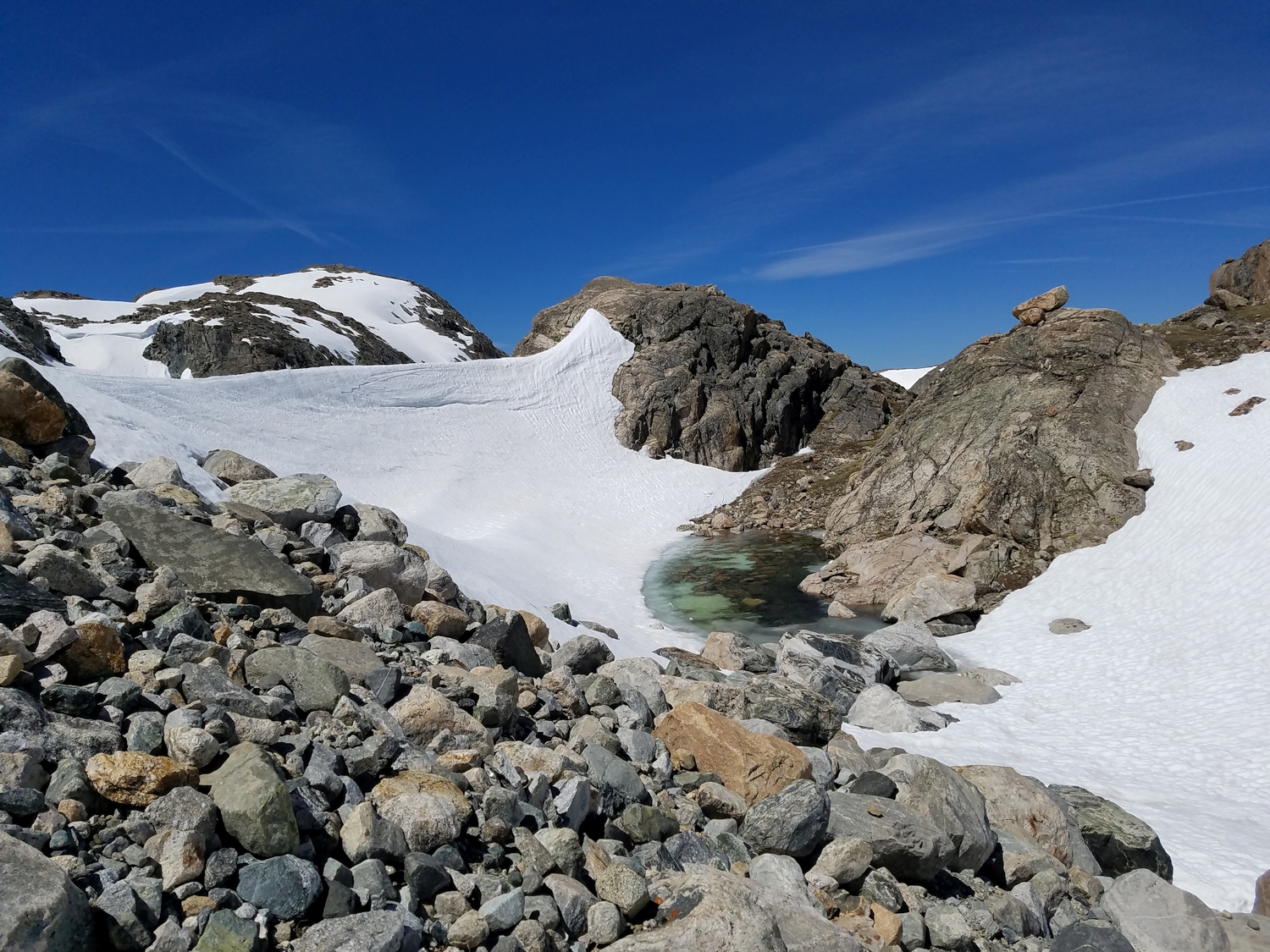
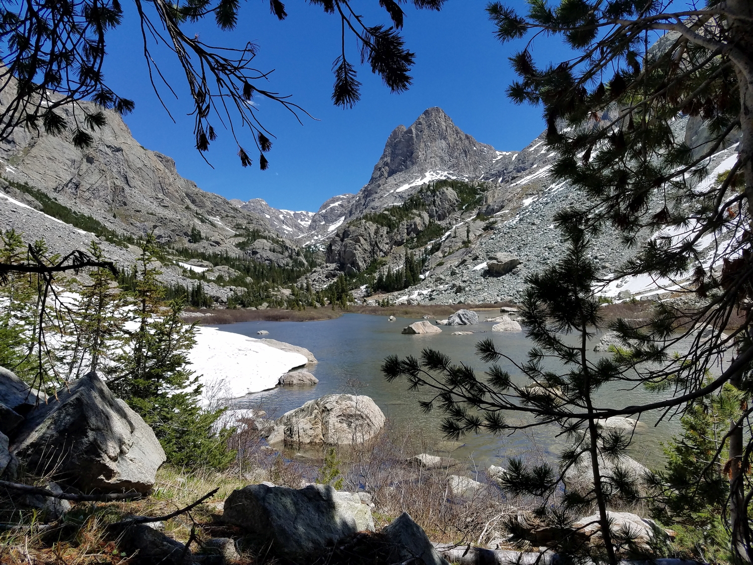
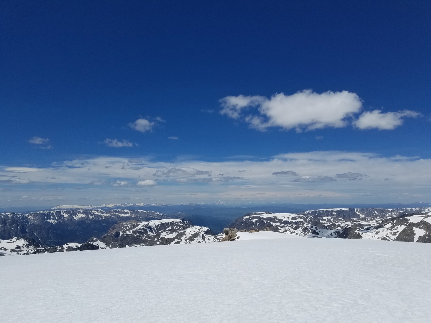
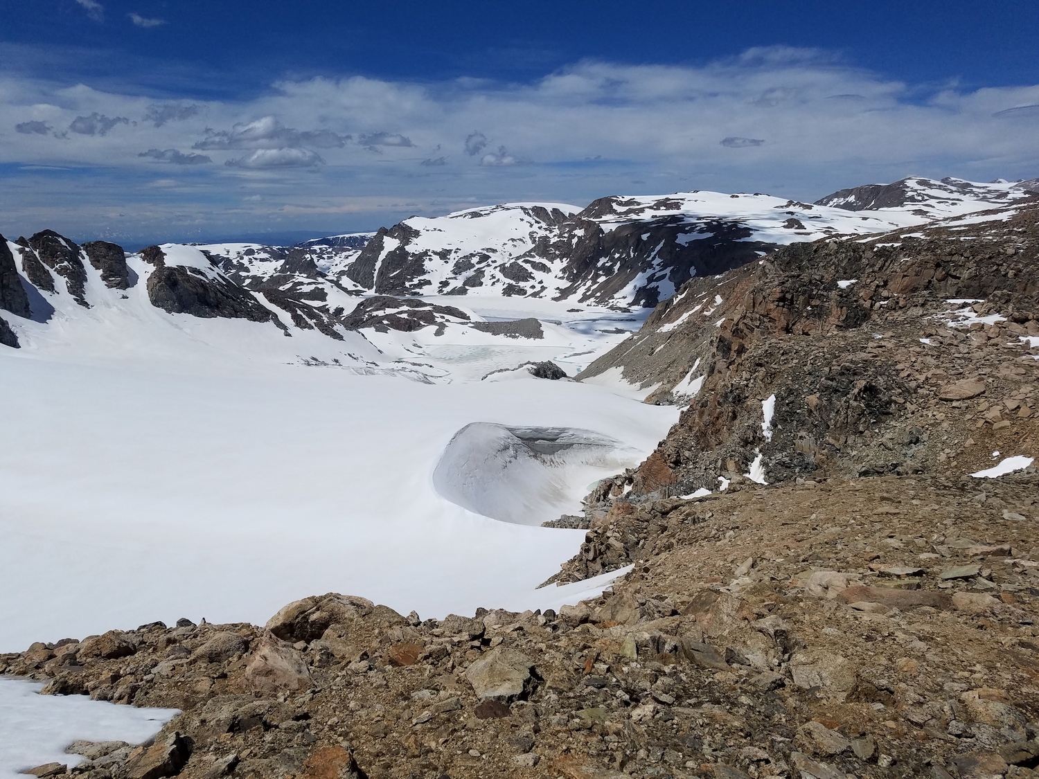
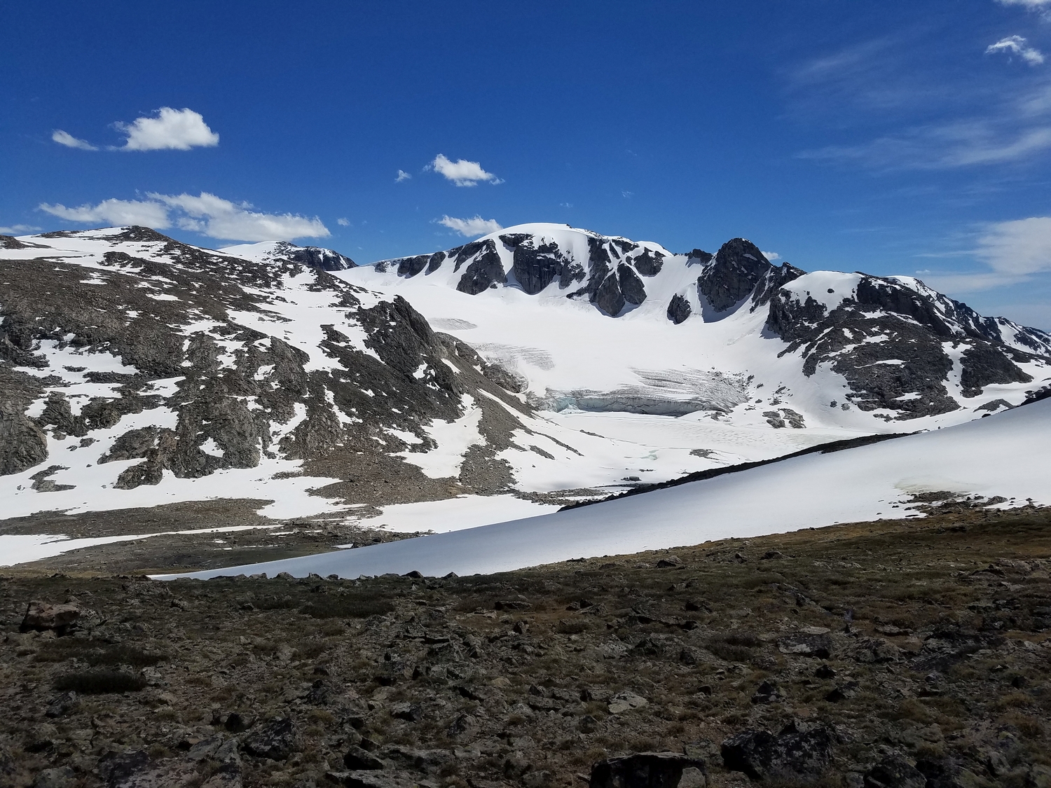
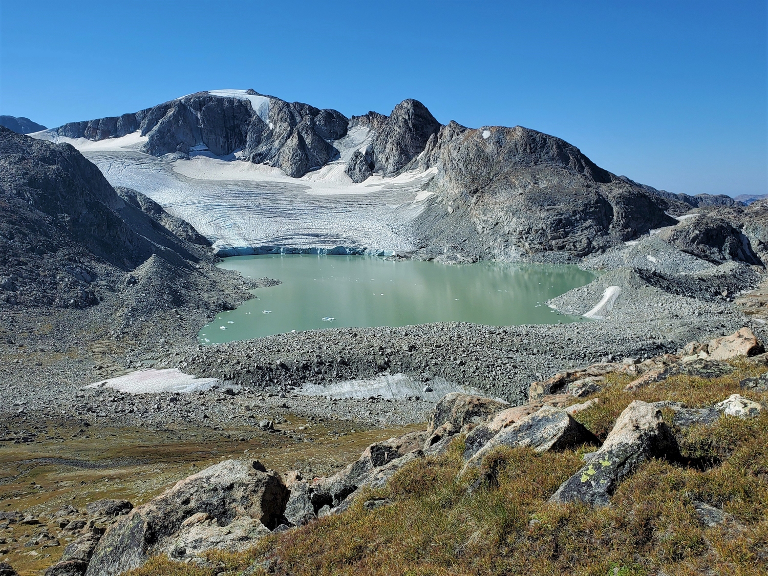
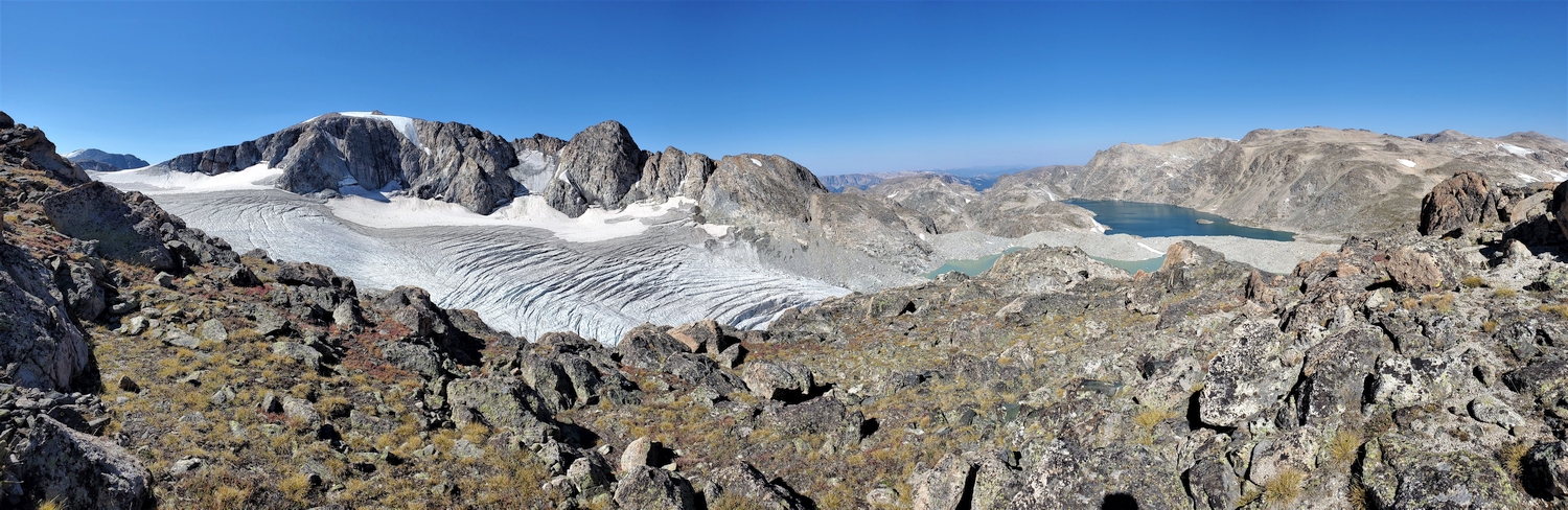
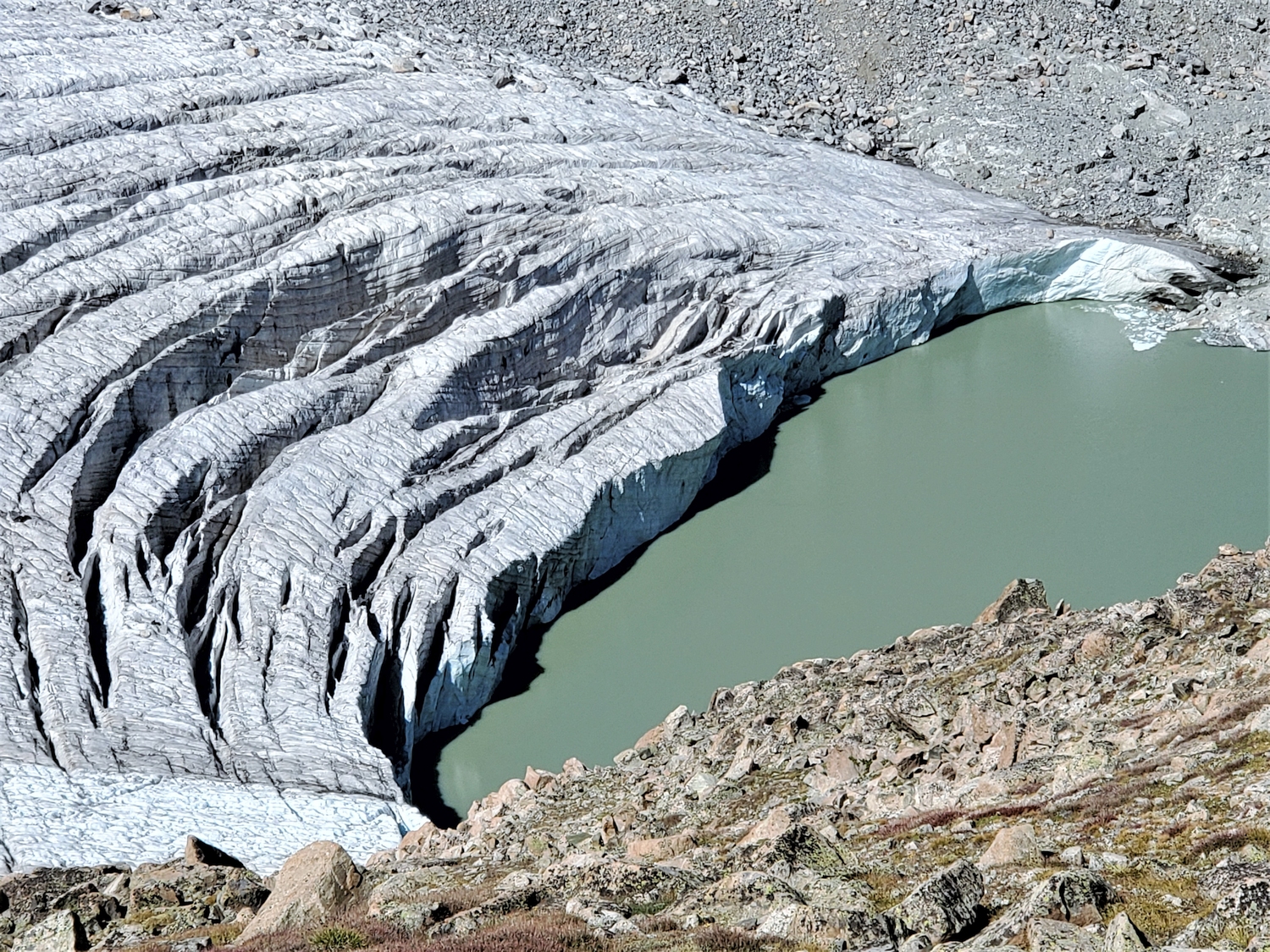
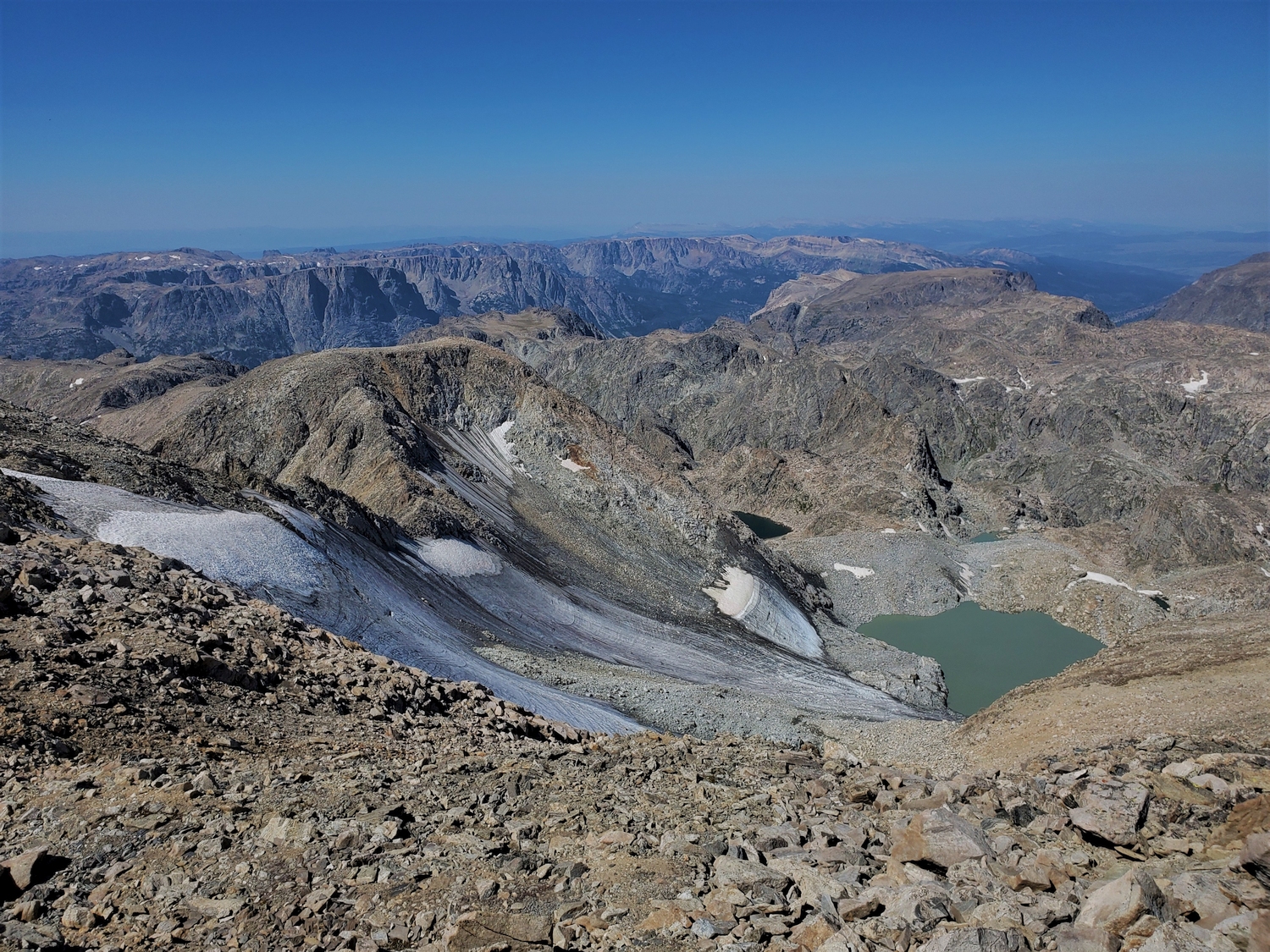
Klondike Peak might be one of the most interesting class 2 mountains in the world. The peak’s northeast cirque harbors the Sourdough Glacier, an impressively crevassed beast which calves into the aptly named Iceberg Lake, the northwest cirque shelters the reclusive J-Glacier, and the summit is usually snow-capped late into the summer. In late June or early July when the area is still mostly snow-covered, it is easy to see why early explorers might have seen a resemblance between the Klondike Peak environs and the stark, frozen beauty of the far north.
General Considerations
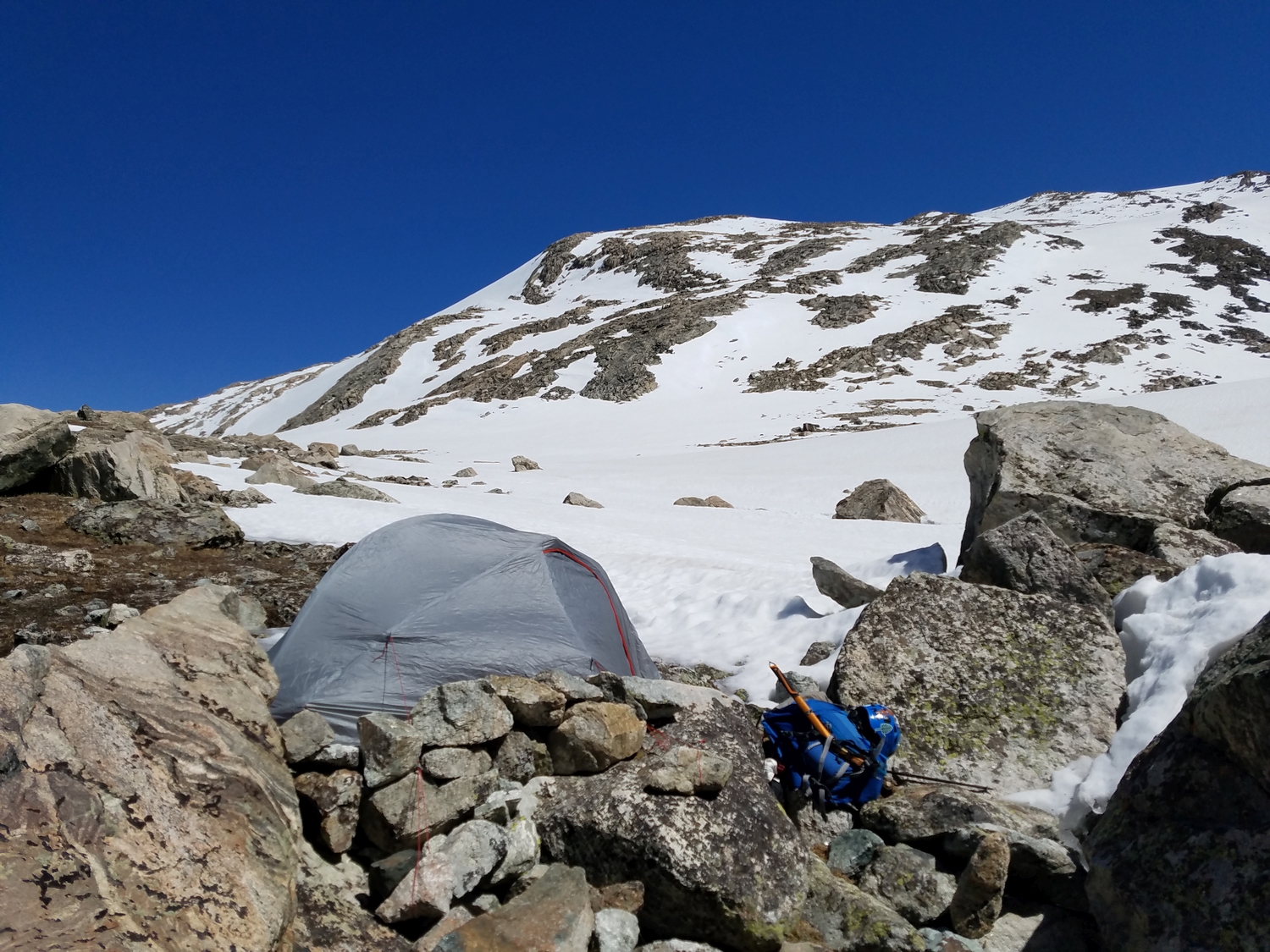
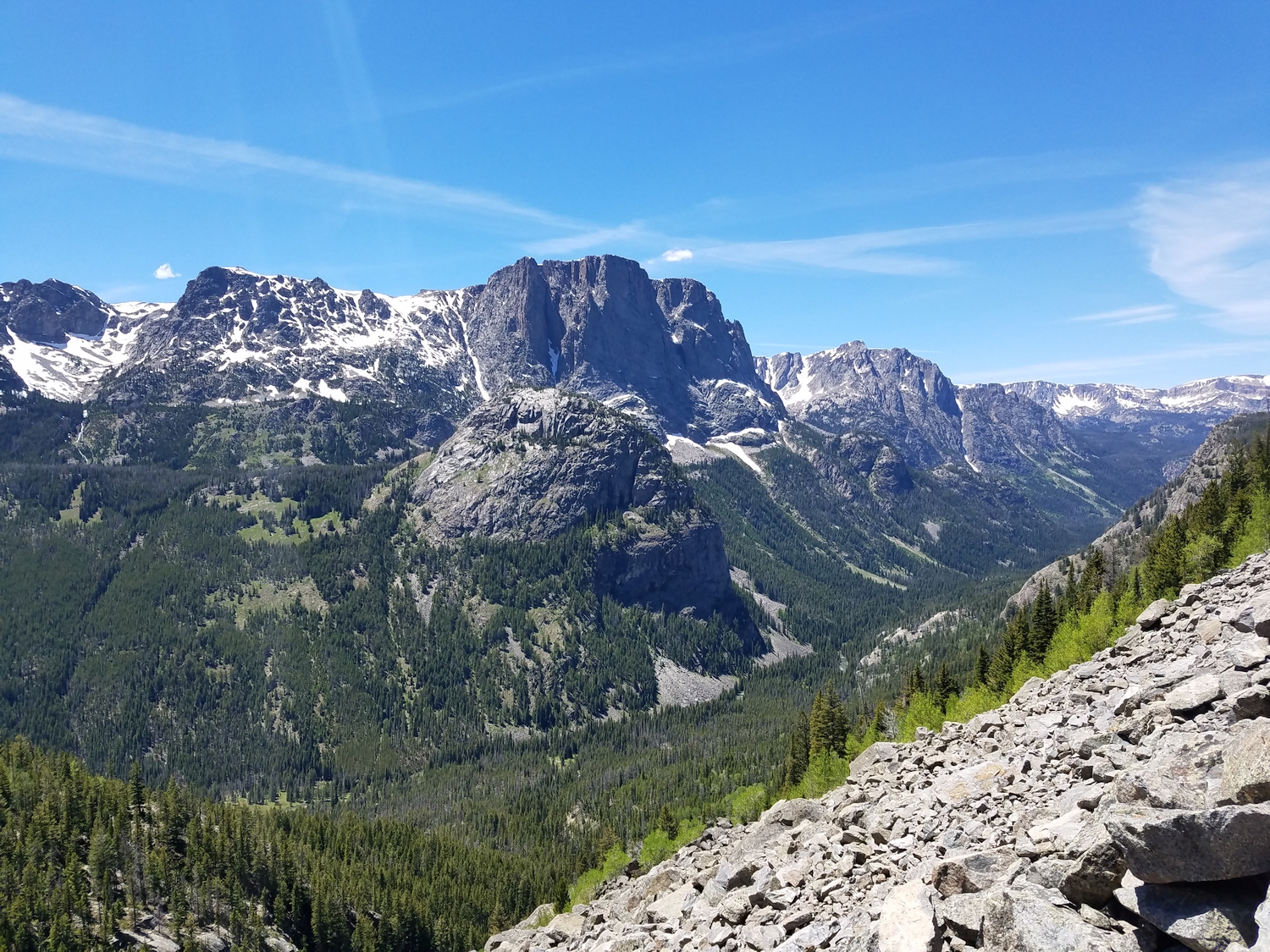
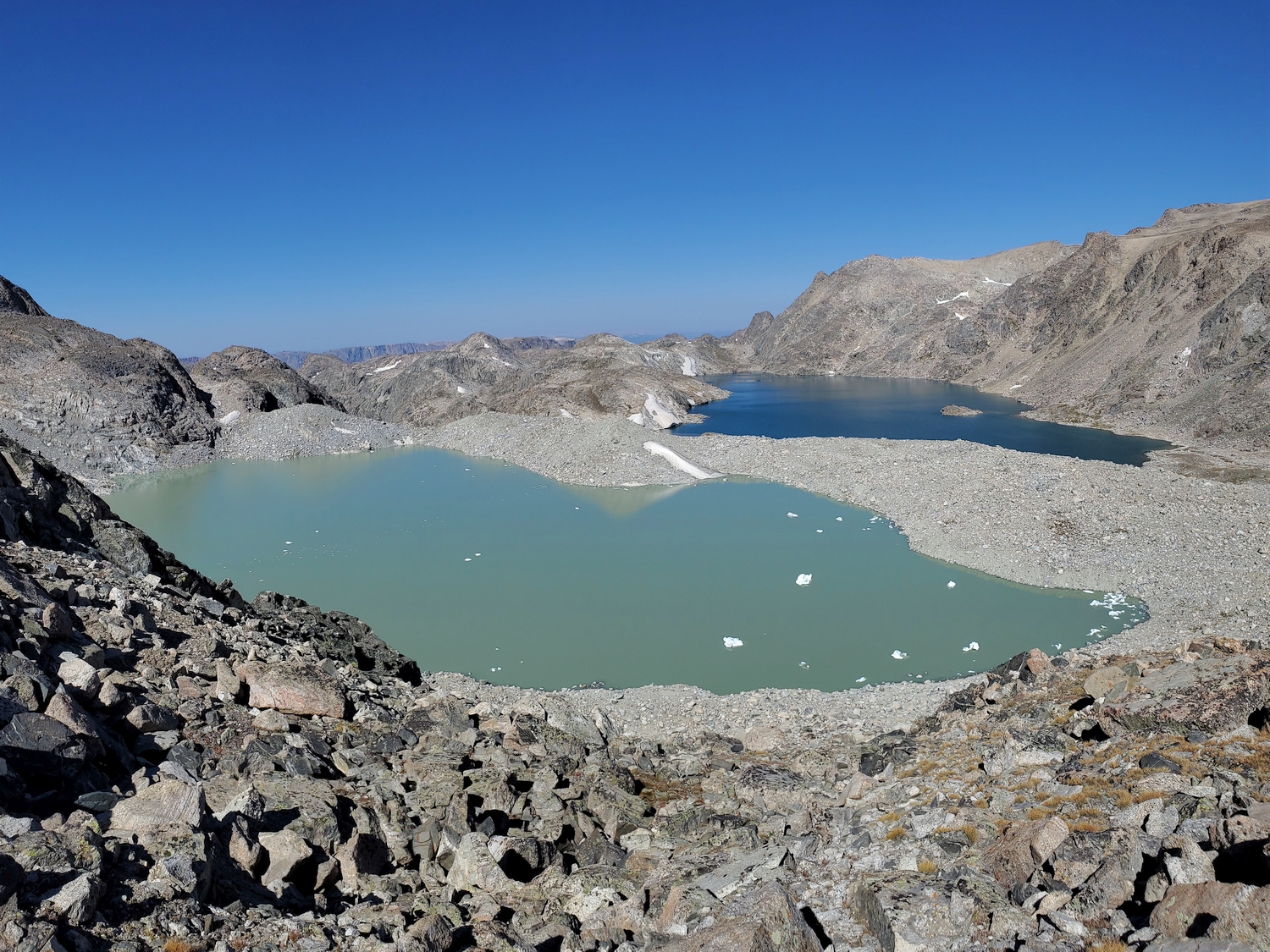
Despite its dramatic Alaskan appearance, Klondike Peak is a relatively straight-forward climb via its standard route. Klondike can be approached any number of ways, and is most often climbed as part of a Divide traverse between Pedestal/Flagstone and peaks farther north. Those splitting such a trip over multiple days have often camped on the high, windswept piece of ground that separates Iceberg Lake from Baker Lake, a spectacular but exposed location.
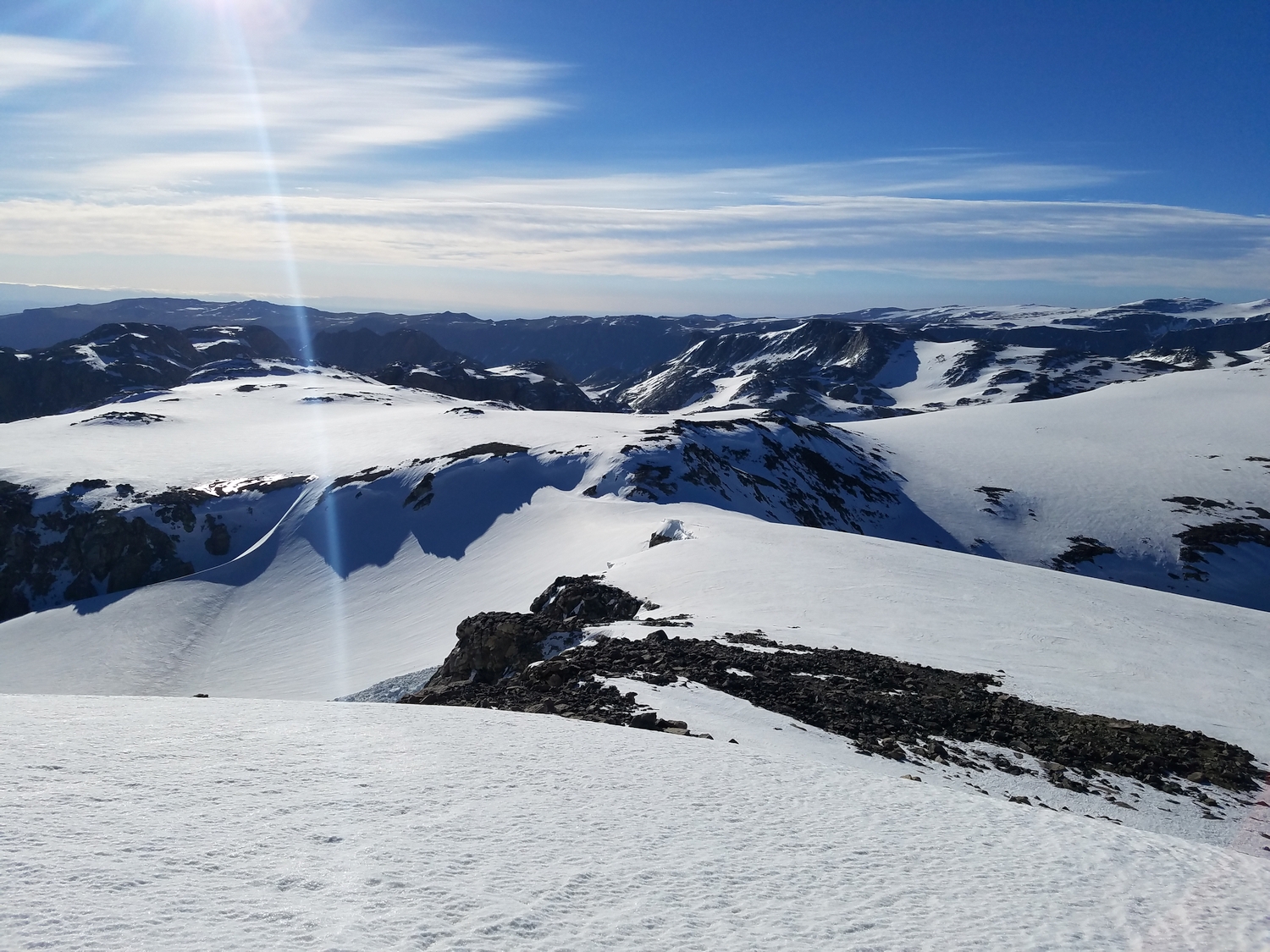
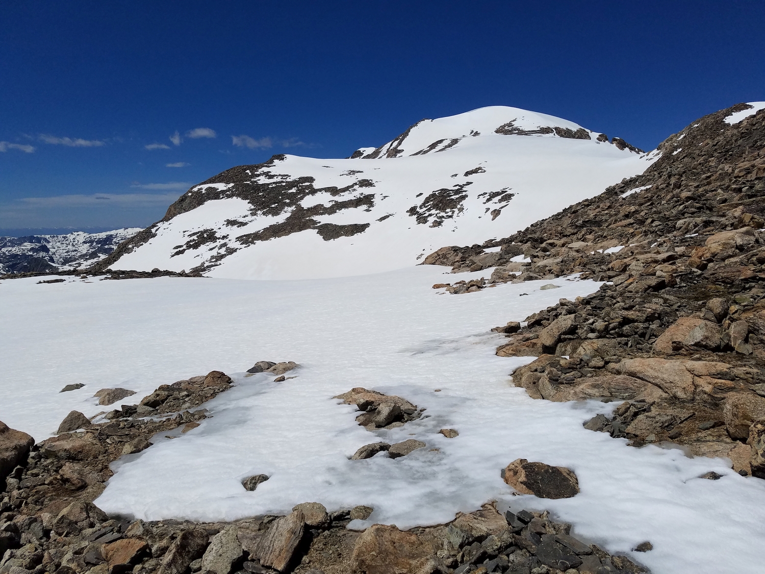
Historically, the ephemeral snowcap has formed the highest point on the mountain, but in late summer of recent years, the snow has melted enough that rock outcrops at the northern and western edges of the summit plateau have become contenders for the true summit.
Route 1: East Ridge – Class 2, Mellow Snow
Approach A: Divide Traverse
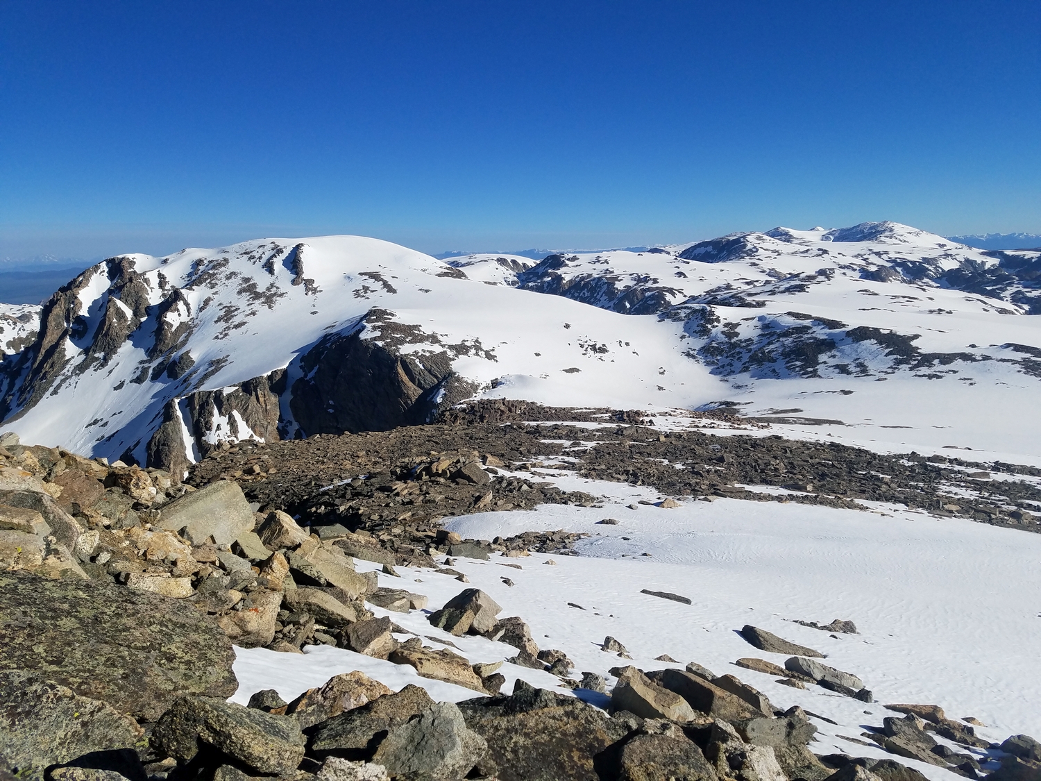
There are as many ways to reach this route as there are explorers willing to plot their own route through this rough country. Still, the author can report favorably on several possible approaches. The most common way to approach Klondike is to backpack along the gently rolling talus hills of the Continental Divide from Downs Mountain heading south, or from Gannett Creek heading north.
Typically, such a trip may combine summits of Downs Mountain, Boardman Peak, Klondike Peak, Pedestal Peak, Flagstone Peak, and possibly others. All of the Divide country between these peaks consists of class 2 backpacking terrain with a mix of frost-shattered rock and grassy slopes. See chapters on Downs and Bastion for discussions of the approaches to reach either end of the Divide traverse.
Approach B: West-Side Creeks
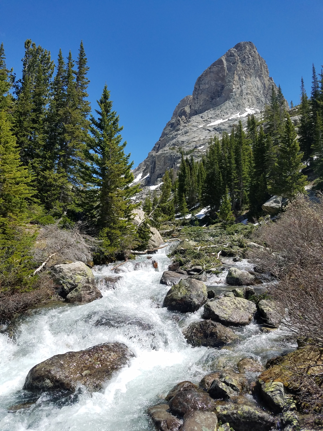
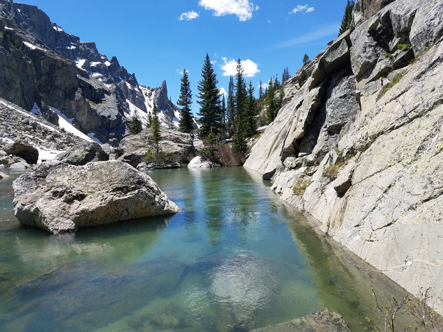
If Klondike is your main target or you wish to perform a loop traverse, it may be convenient to approach or leave the area via a route perpendicular to the line of the Divide. For this purpose, the Tourist Creek and Pixley Creek drainages provide the most direct ascent routes to the Klondike Peak environs. Both routes involve substantial off-trail routefinding through talus, dense brush, and untracked forests. See the Desolation Peak chapter for information on Tourist Creek.
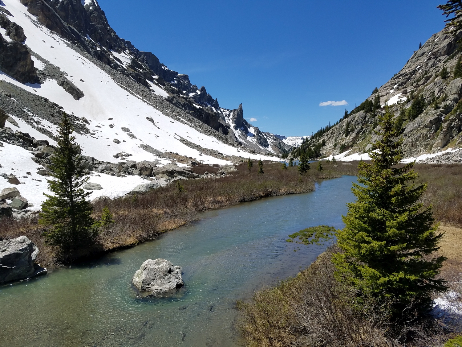
The author prefers Pixley Creek as a Klondike Peak-Green River connector, since unlike the Tourist Creek route, you do not have to ford the Green River thanks to the fact that the Highline Trail is still on the western bank at the confluence with Pixley Creek. After crossing Elbow Creek on the Highline Trail, bushwhack through open forest and cross occasional talus fields as you ascend into the Pixley Creek valley, generally staying north of the creek but crossing when cliff bands block the route ahead. The upper Pixley valley is a hidden jewel of lush meadows, miniature alpine lakes, and few travelers. Eventually, the Pixley Creek route ends at the terminal moraine that impounds Iceberg Lake.
Final Ascent, All Approaches
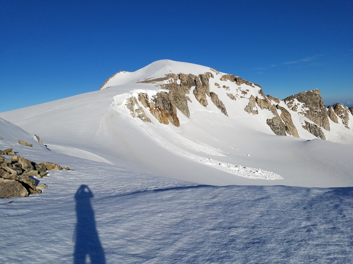
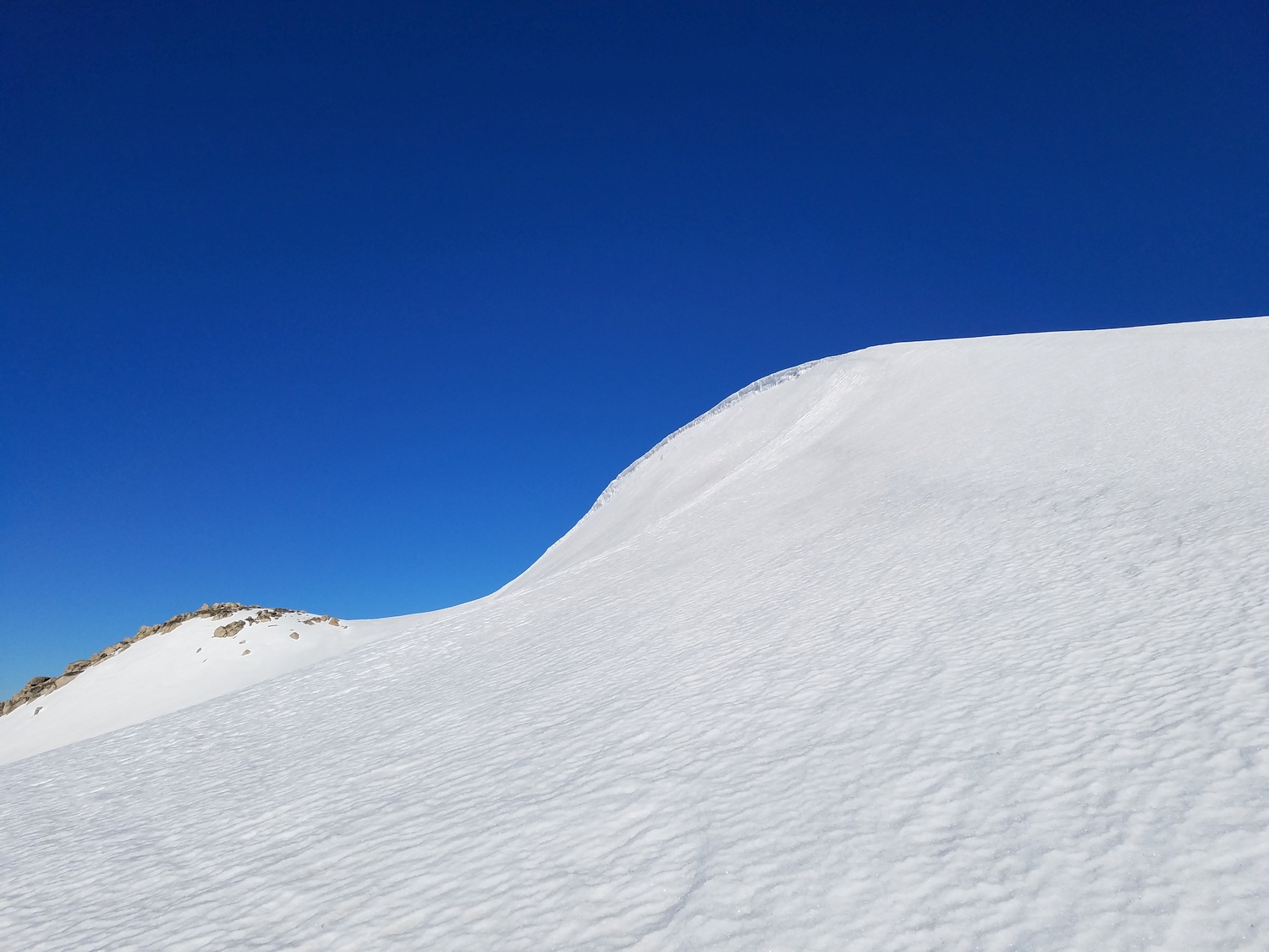
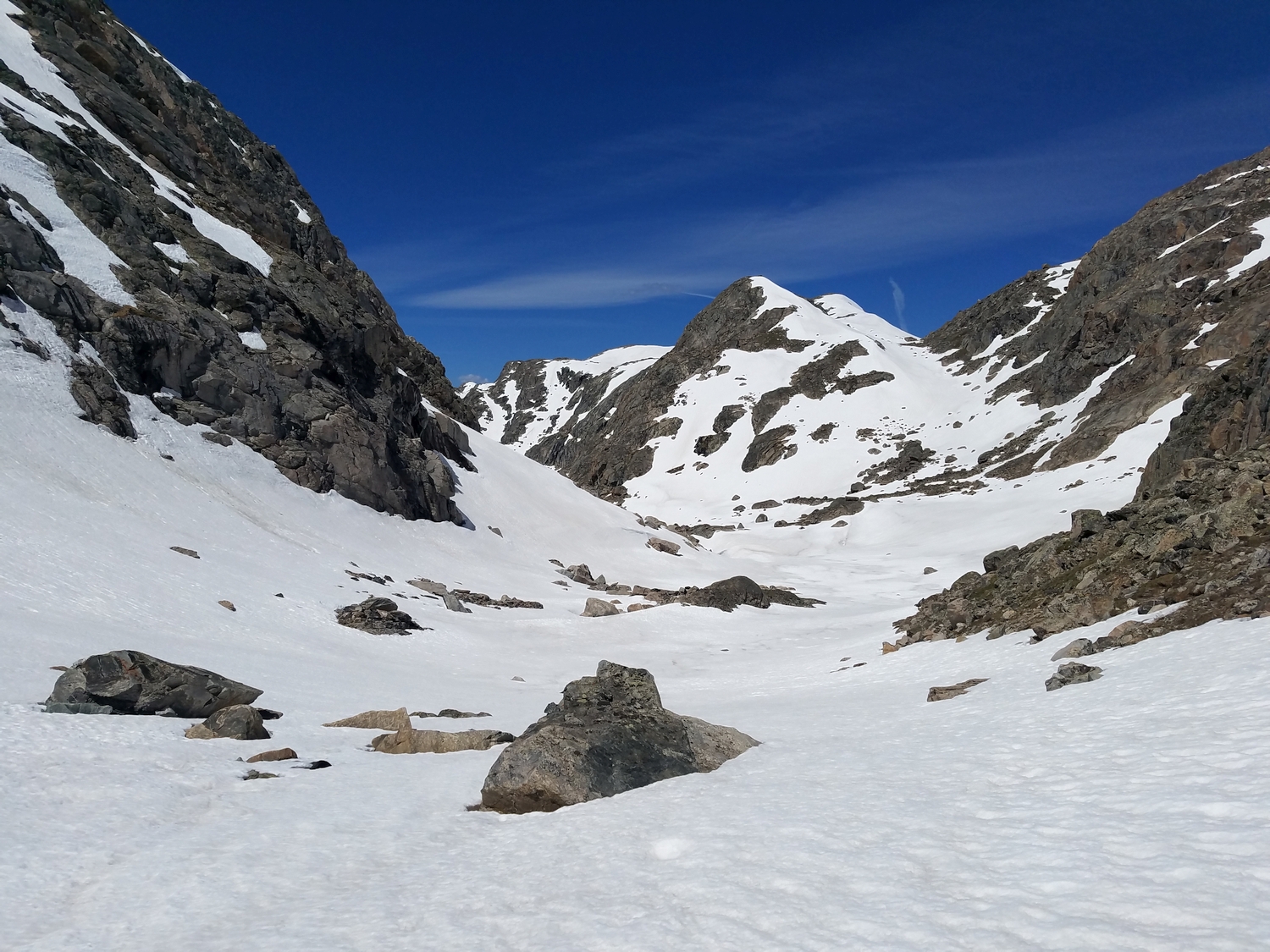
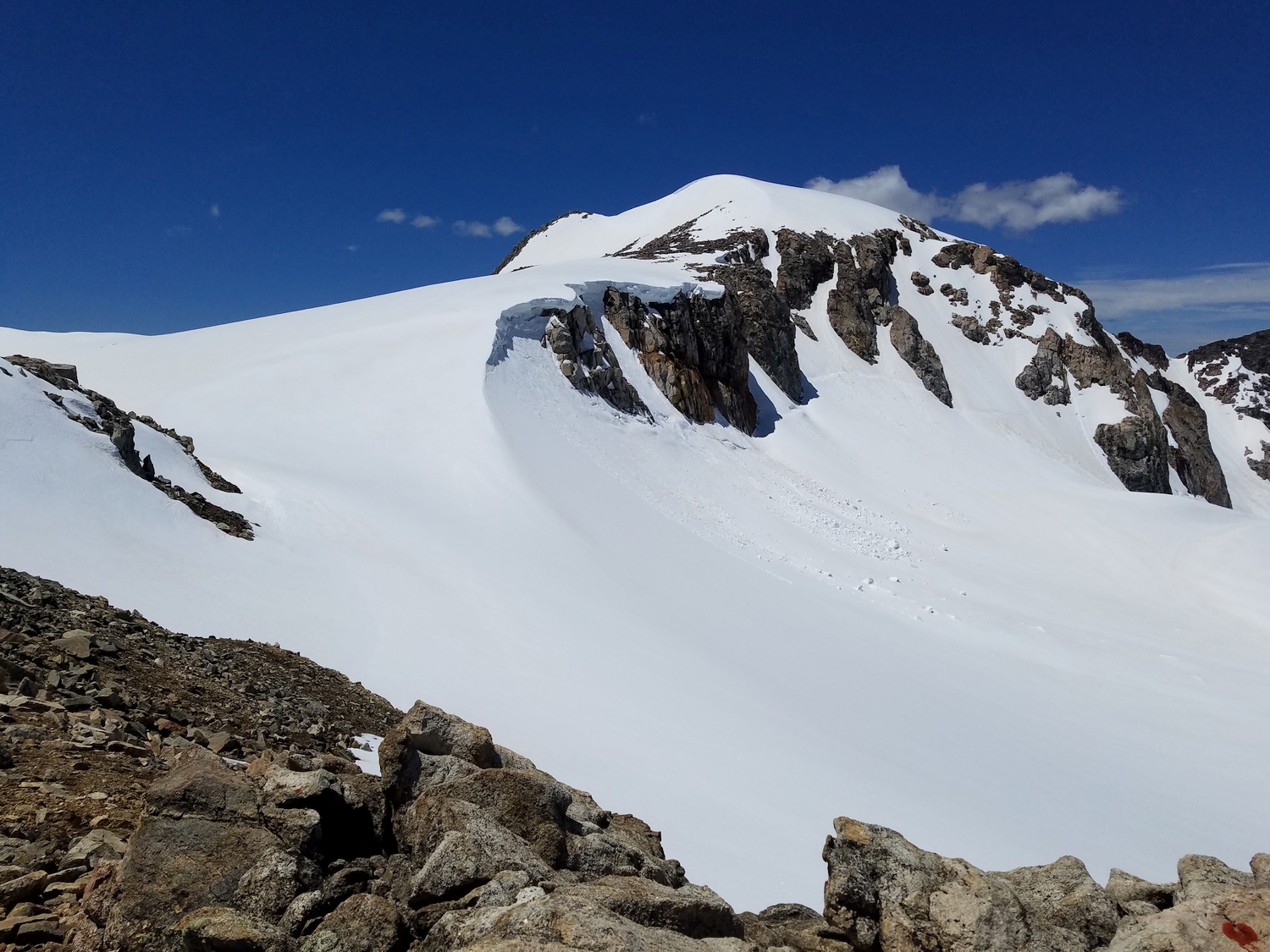
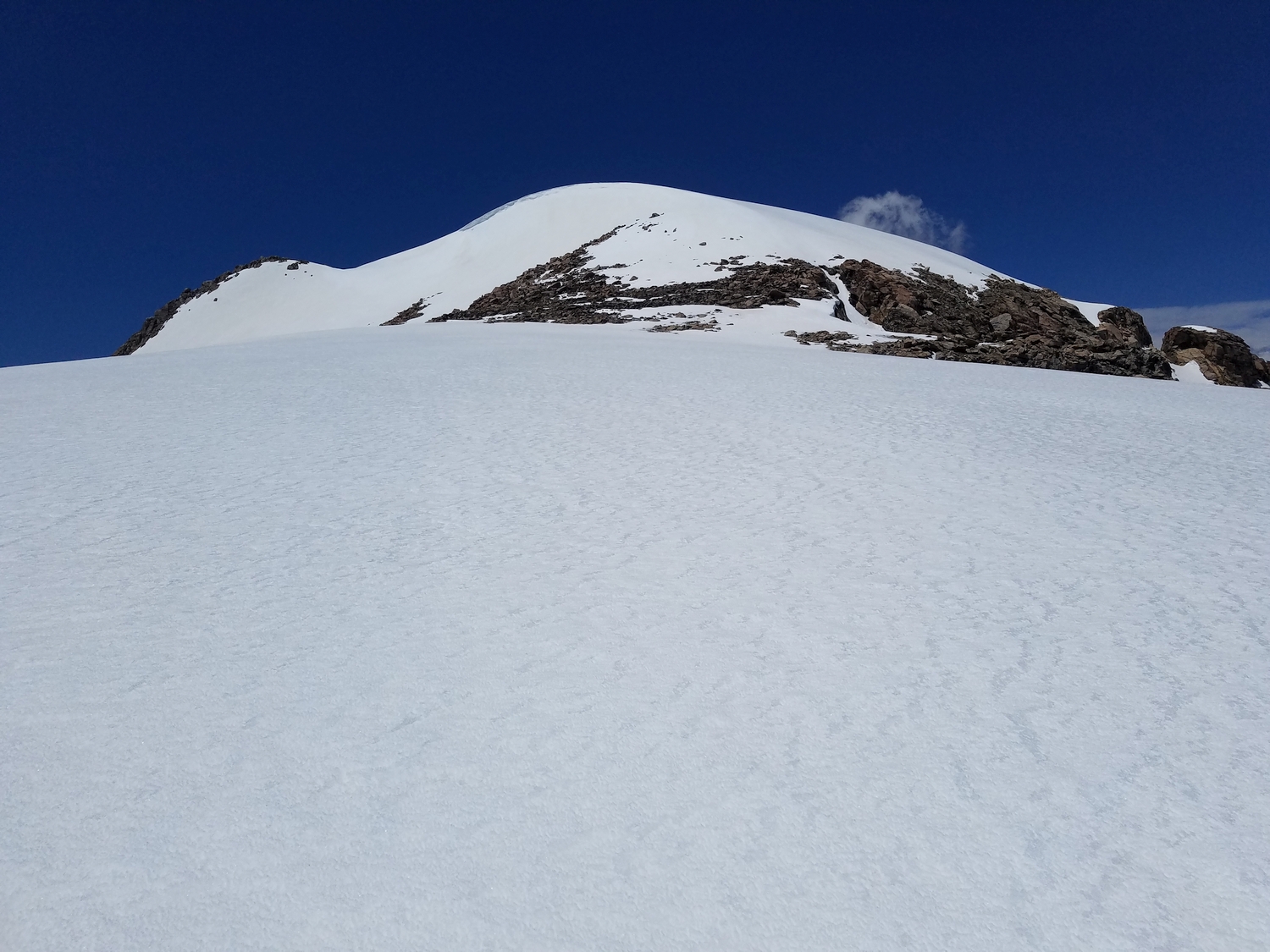
No matter how you get there, find your way to the Continental Divide plateau just west of Klondike Peak. The peak itself sits just west of the Divide, and the easiest route should be obvious. Traverse a small connecting saddle at the head of the Sourdough Glacier, then climb a few hundred feet of mixed talus and/or snow slopes to the flattish, snowclad summit.
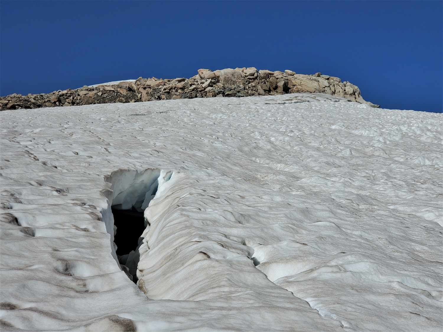
The standard route appears to be a mellow snow climb, but cornices are common along the ridge, and crevasses have been noted in the snow near the saddle (hidden until late summer). Approach this peak with caution.