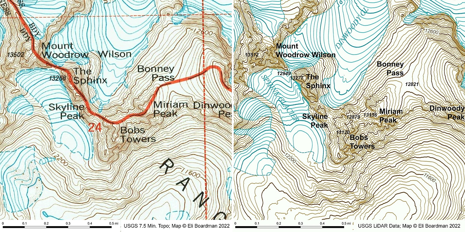
Introduction
Miriam Peak was “discovered” in December of 2021 by the author thanks to the advent of LiDAR peak analysis. Previously thought to only have 276 ft. of prominence and thus not even qualifying for soft-ranked status, Miriam turned out to have 315 ft. of prominence, a change due mainly to the fact that the summit area was missing a small contour on the 7.5-minute topo map and no spot-elevation was available.
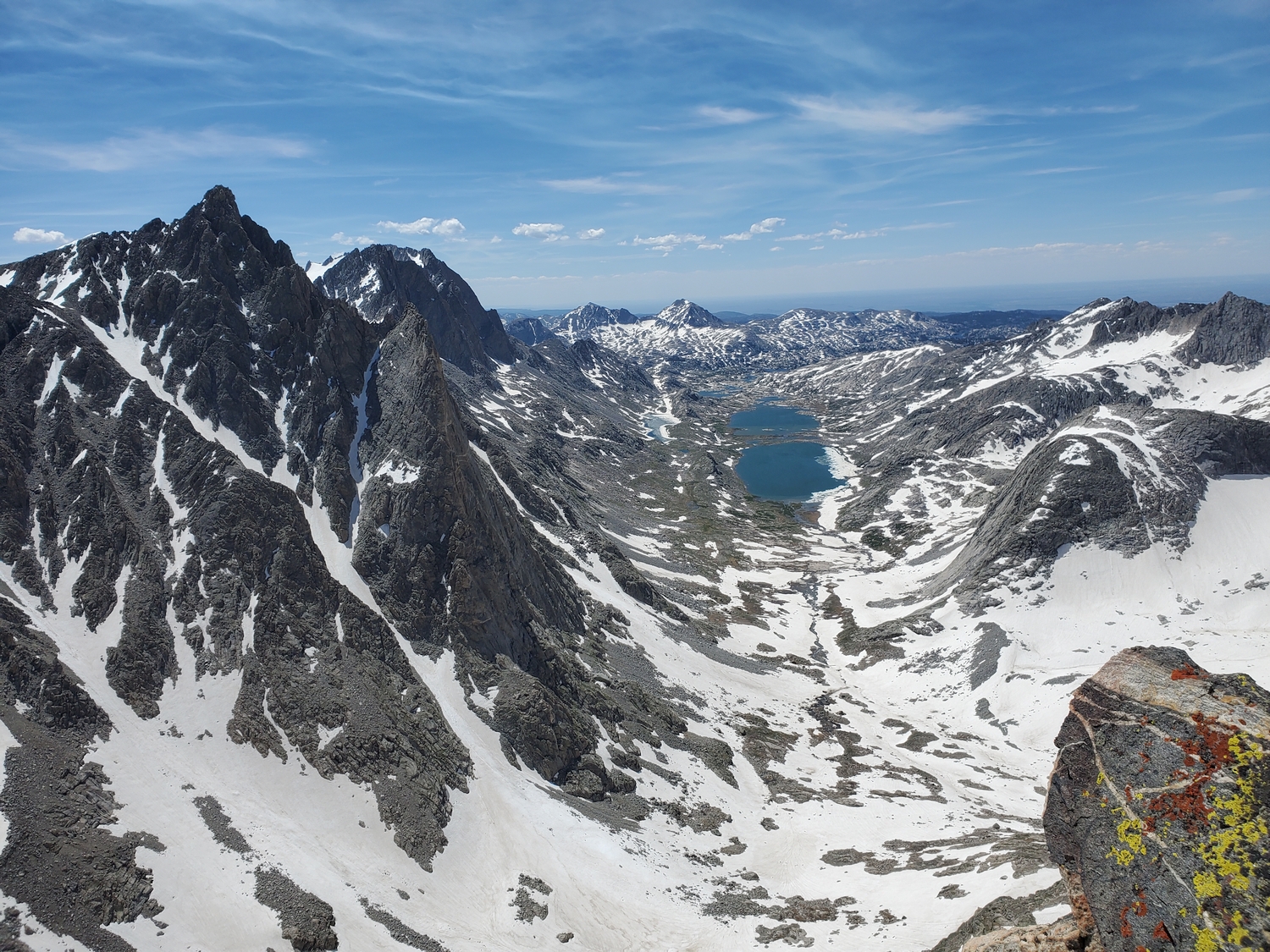
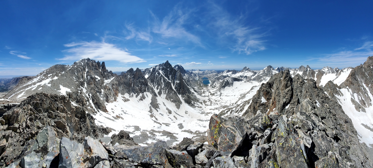
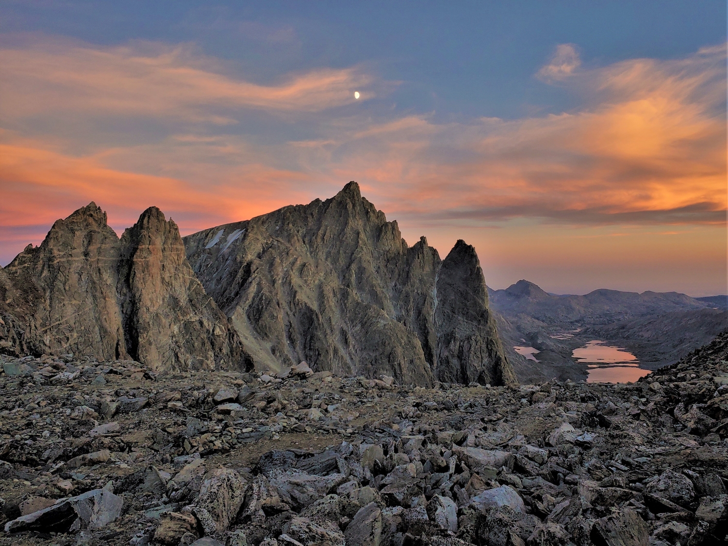
This fine peak sits on the side of Bonney Pass, a major climbers’ thoroughfare between Titcomb Basin and the Dinwoody Glacier. Miriam Peak was named for Miriam Underhill, a pioneering climber who led women’s mountaineering trips in the Alps. She traversed Miriam Peak in 1939.
General Considerations
Miriam Peak can be readily approached from either the Dinwoody Glacier or Titcomb Basin. Since Bonney Pass is routinely used to climb Gannett from the Titcomb side and for backpacking between these two basins, Miriam can conveniently be climbed as an extra-credit side-trip for those with extra time and energy upon reaching the crest of the pass.
Route 1: East Slopes – Class 4, Moderate Snow
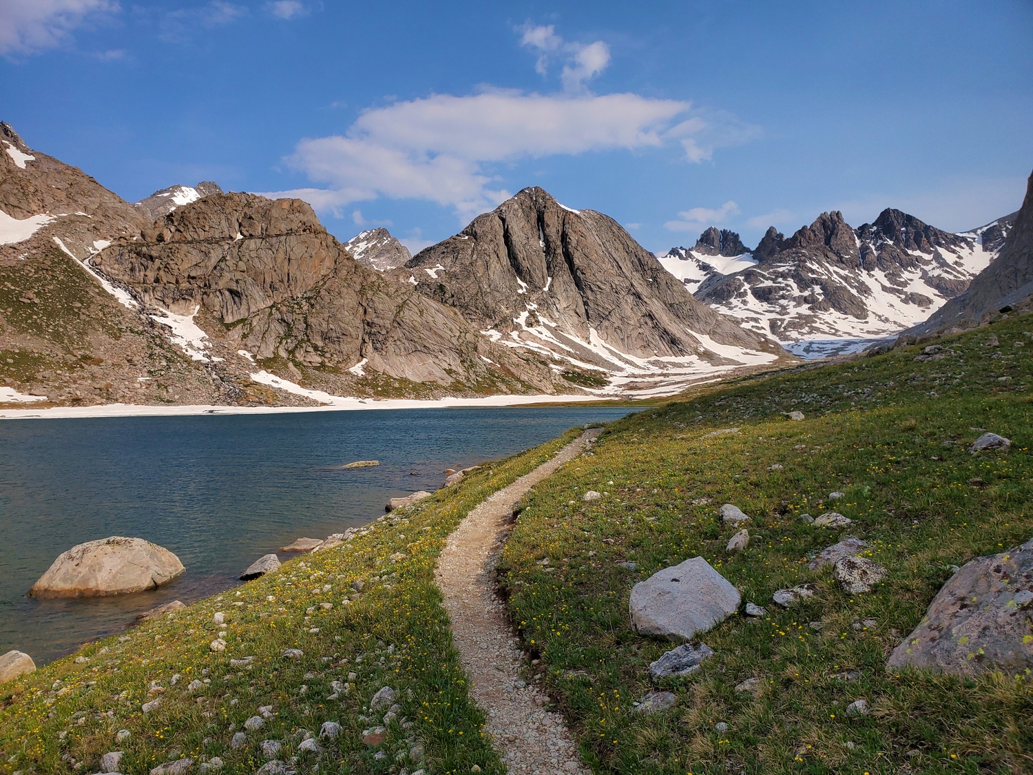
Approach A: Bonney Pass from Titcomb Basin
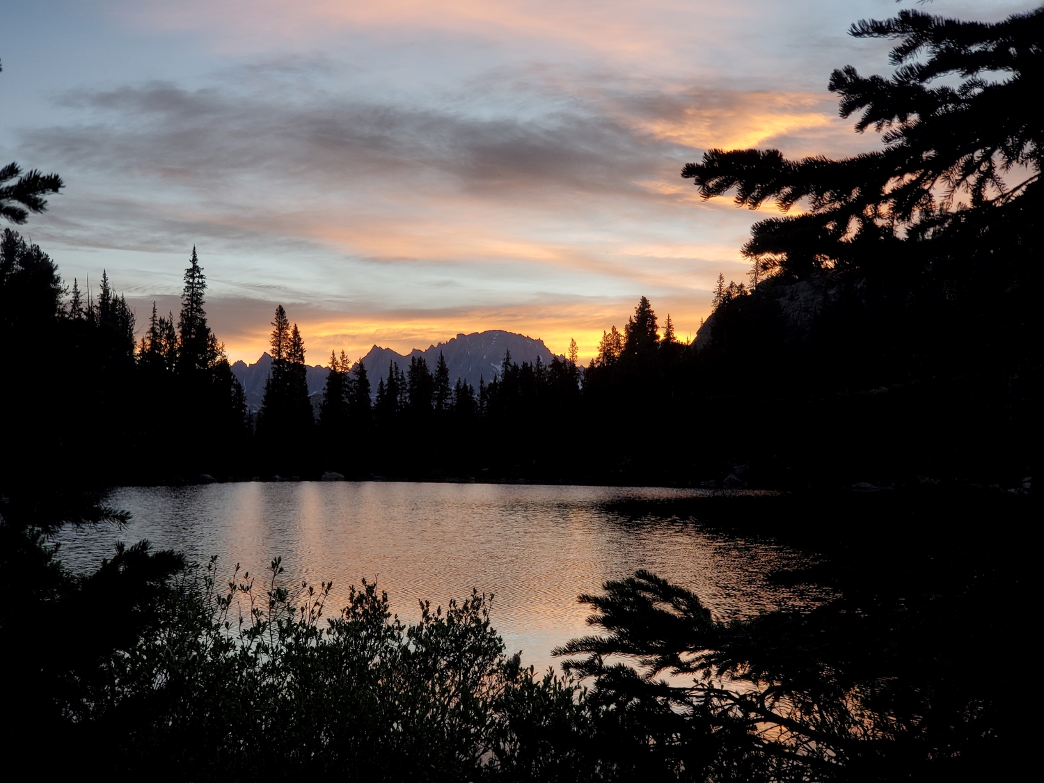
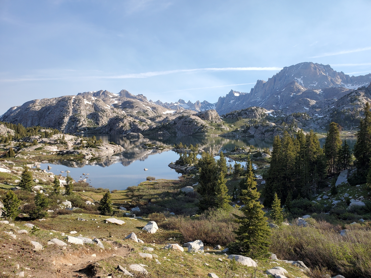
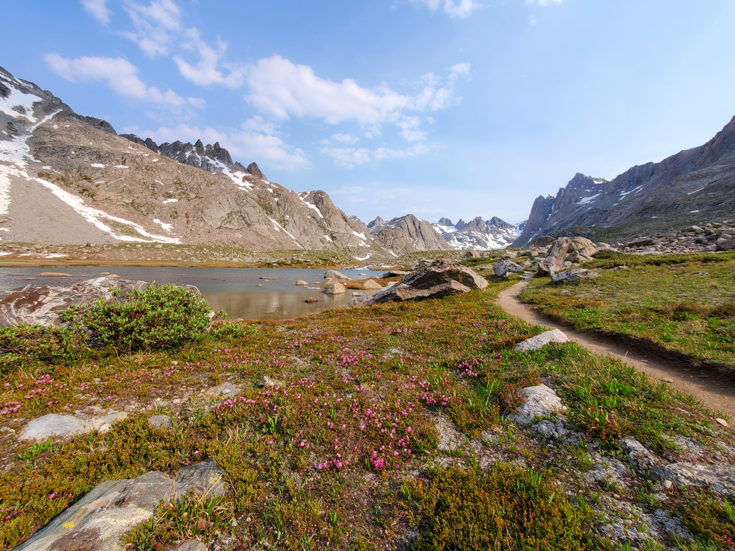
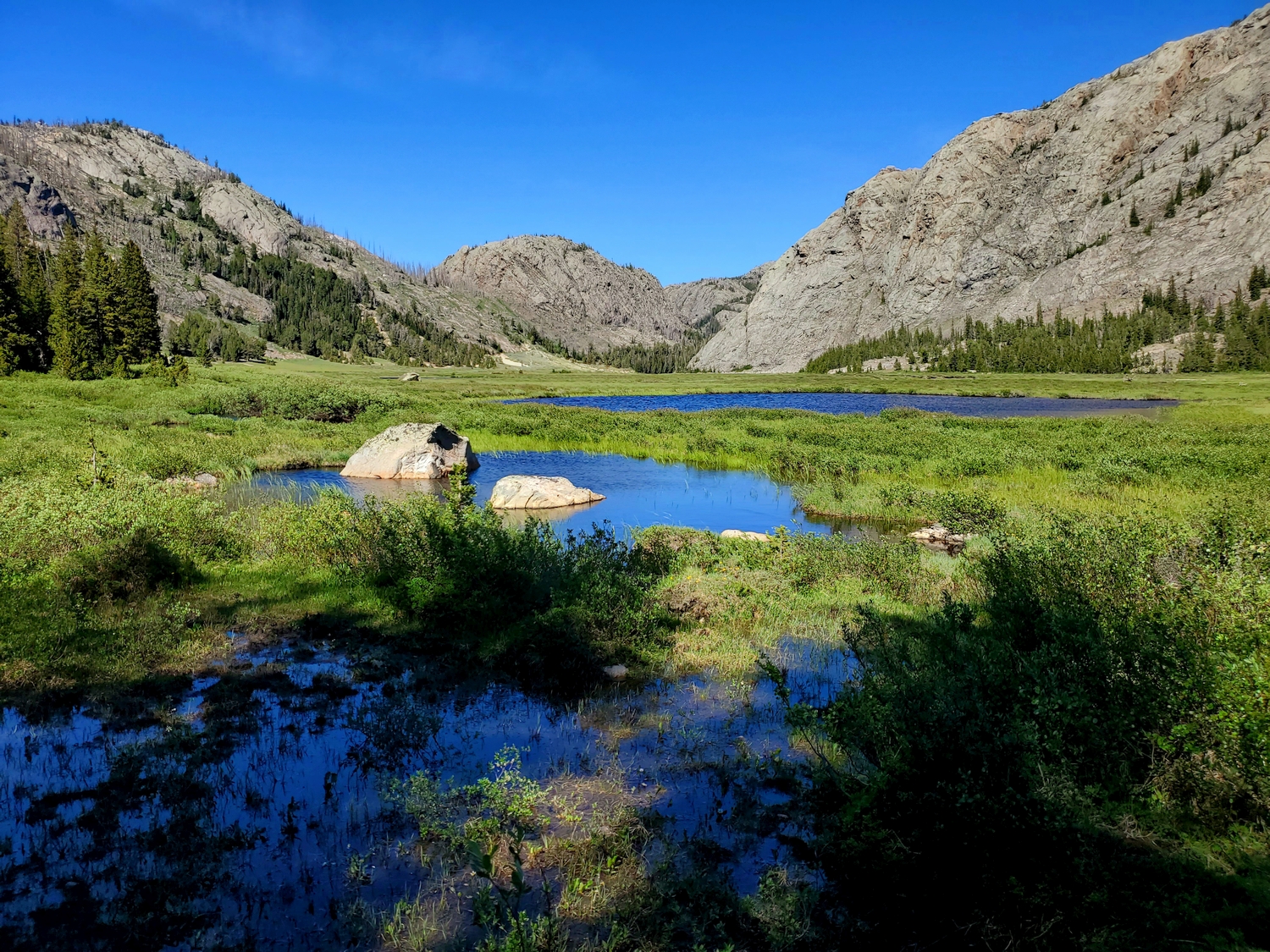
From the end of the Titcomb Basin trail in the open area below Mount Helen’s west face, continue hiking north and slightly east on steepening terrain. This area is commonly used for high-camps by those approaching Gannett from the Titcomb side, and campsites can be found sheltered by boulders and rock walls.
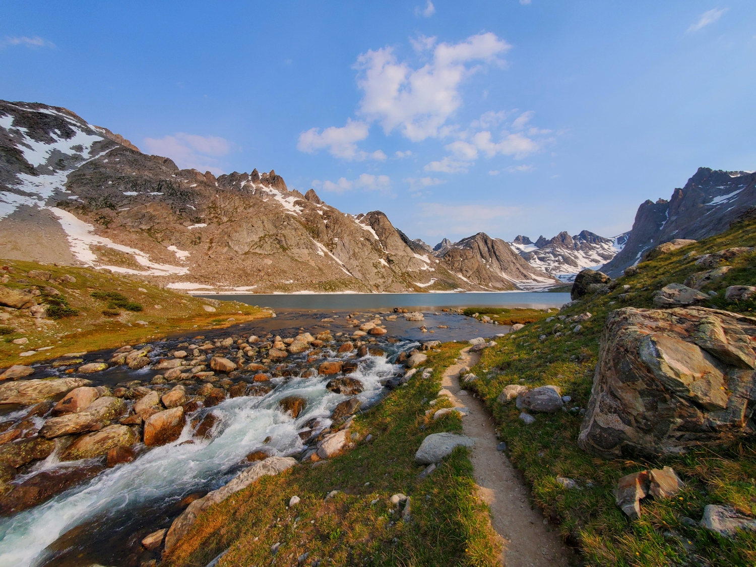
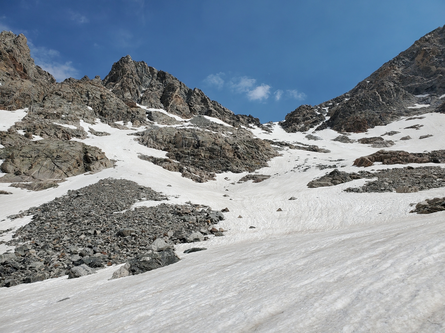
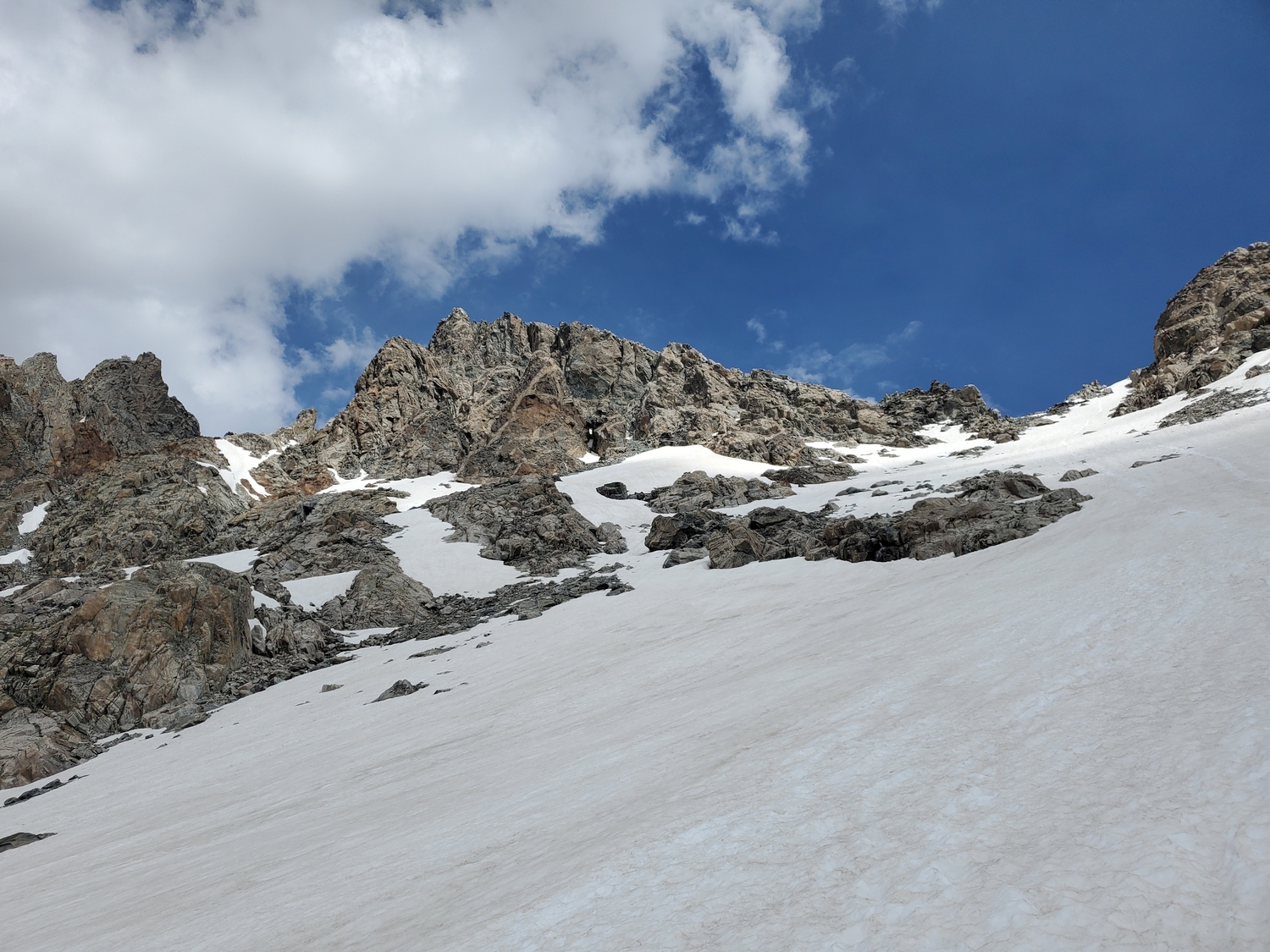
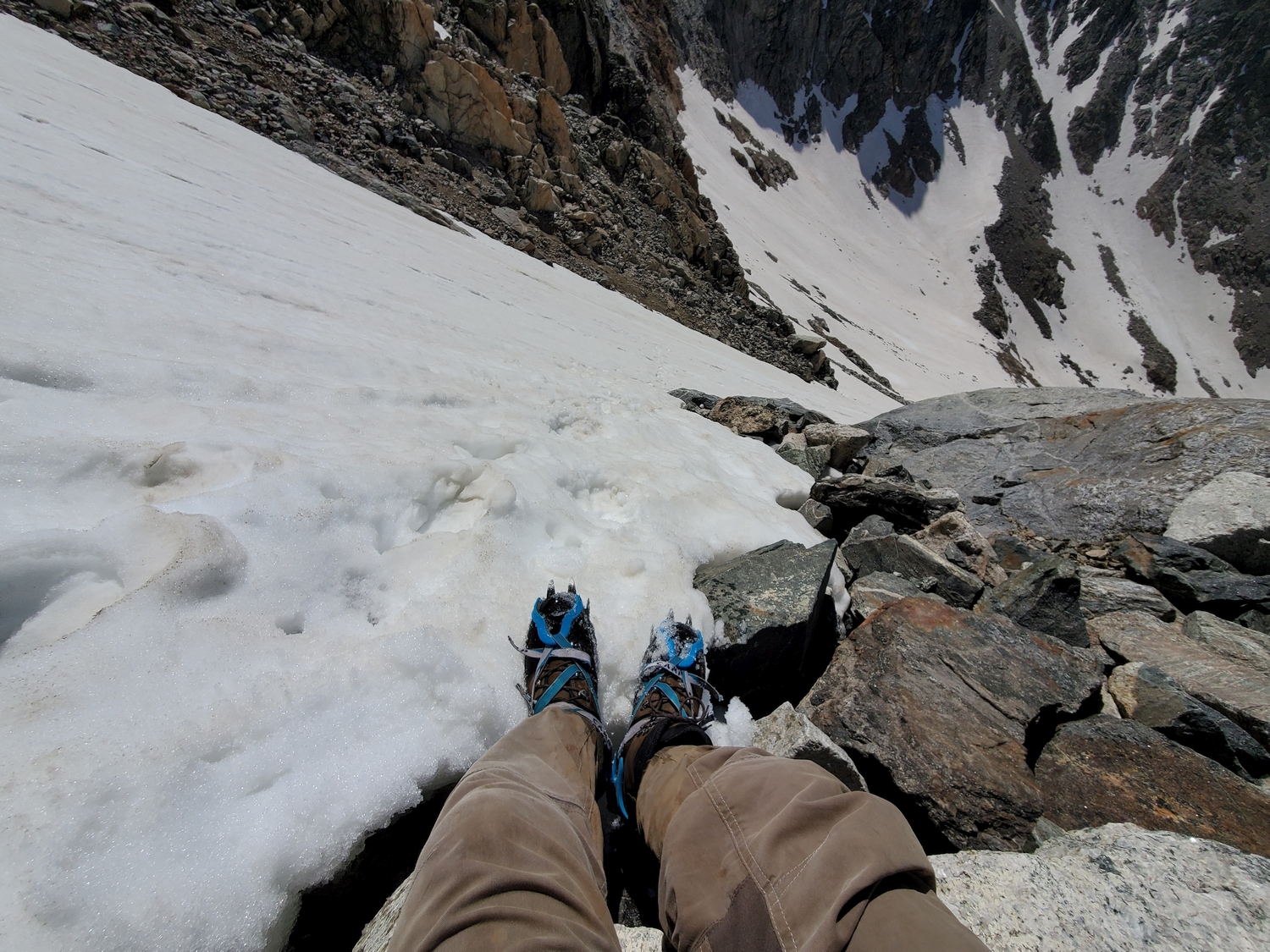
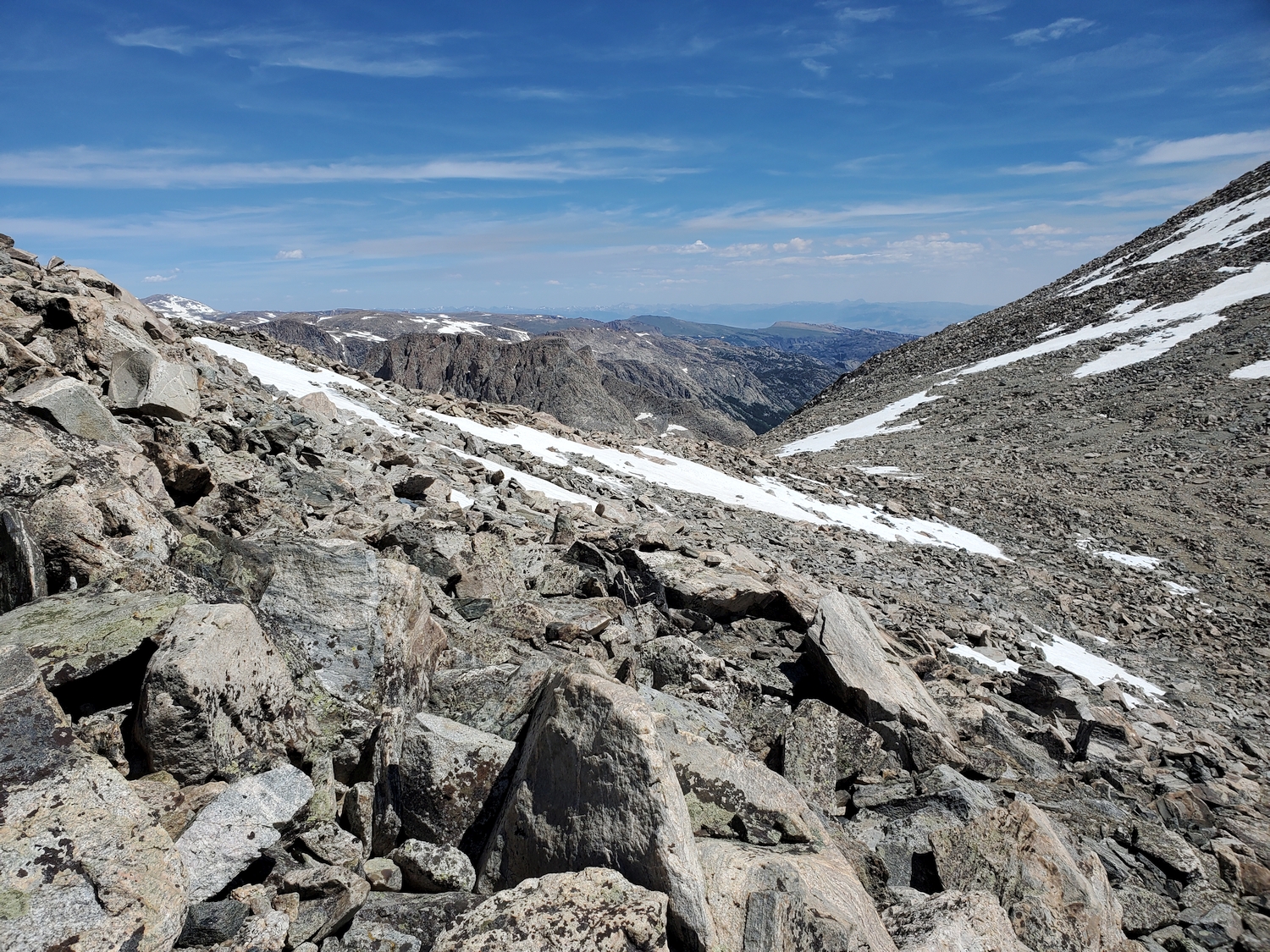
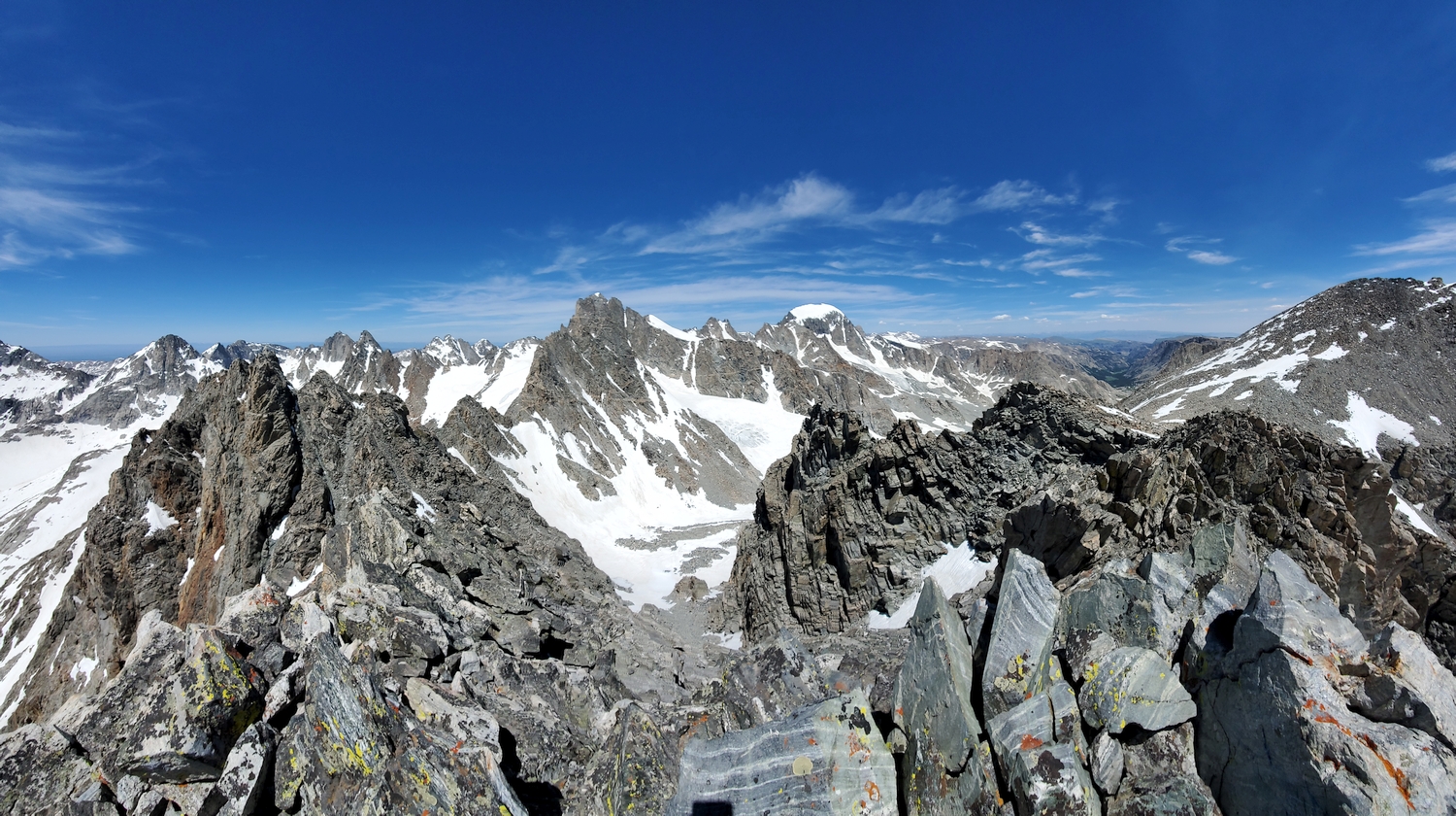
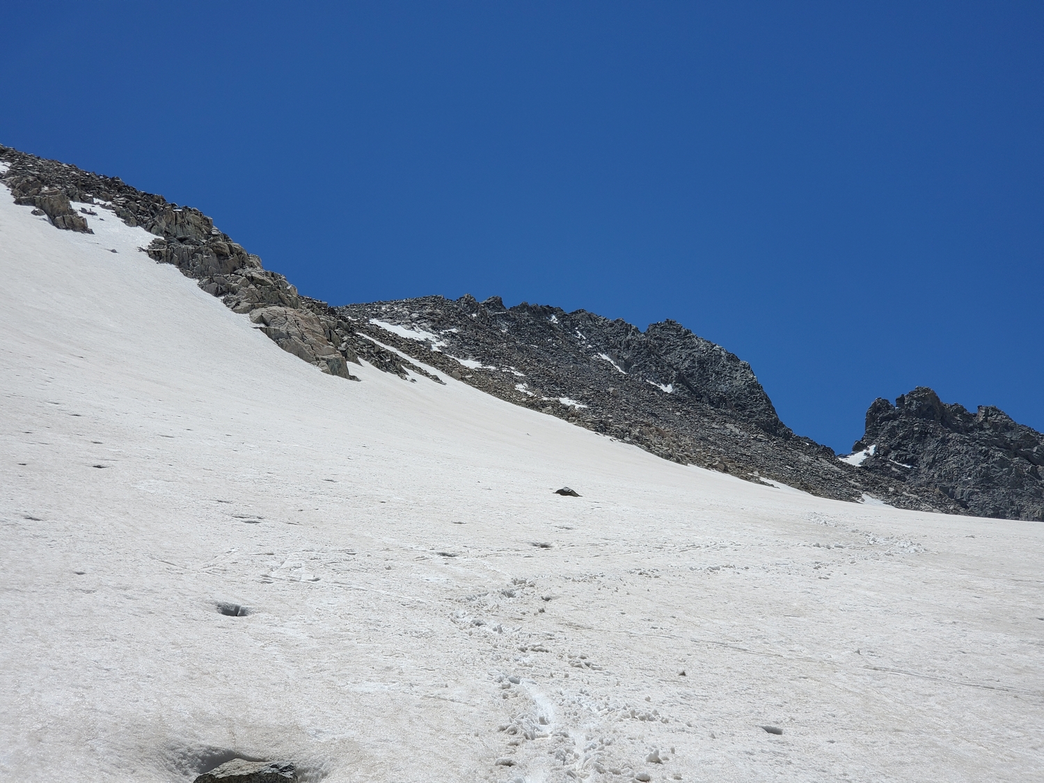
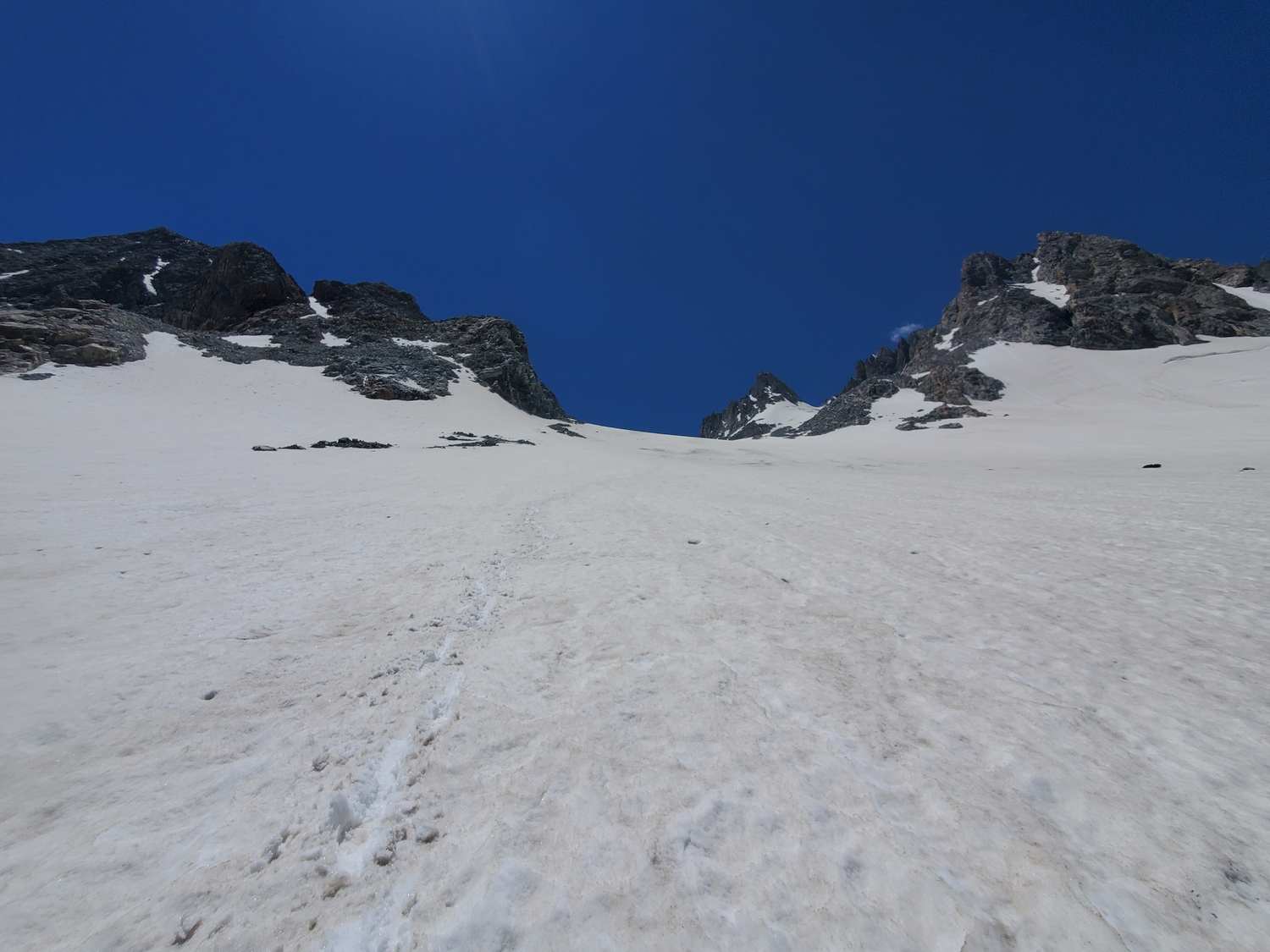
As the terrain steepens, head for the low-point of Bonney Pass, ascending loose scree or moderately steep snow depending on the season. The upper part of the route turns into a broad couloir around 12,400 ft., and the flat boulder field atop the pass is reached after an additional 400 ft. of climbing.
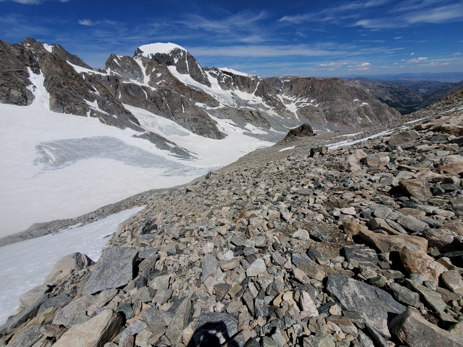
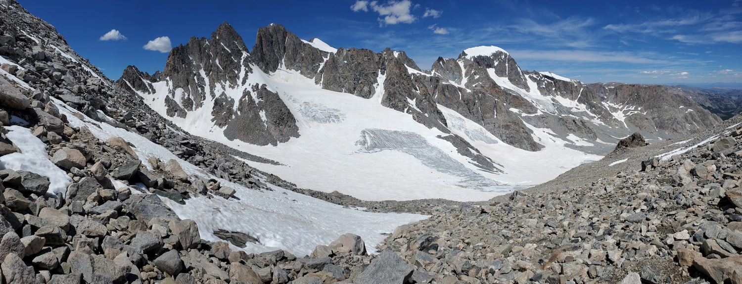
Approach B: Bonney Pass from the Dinwoody Glacier
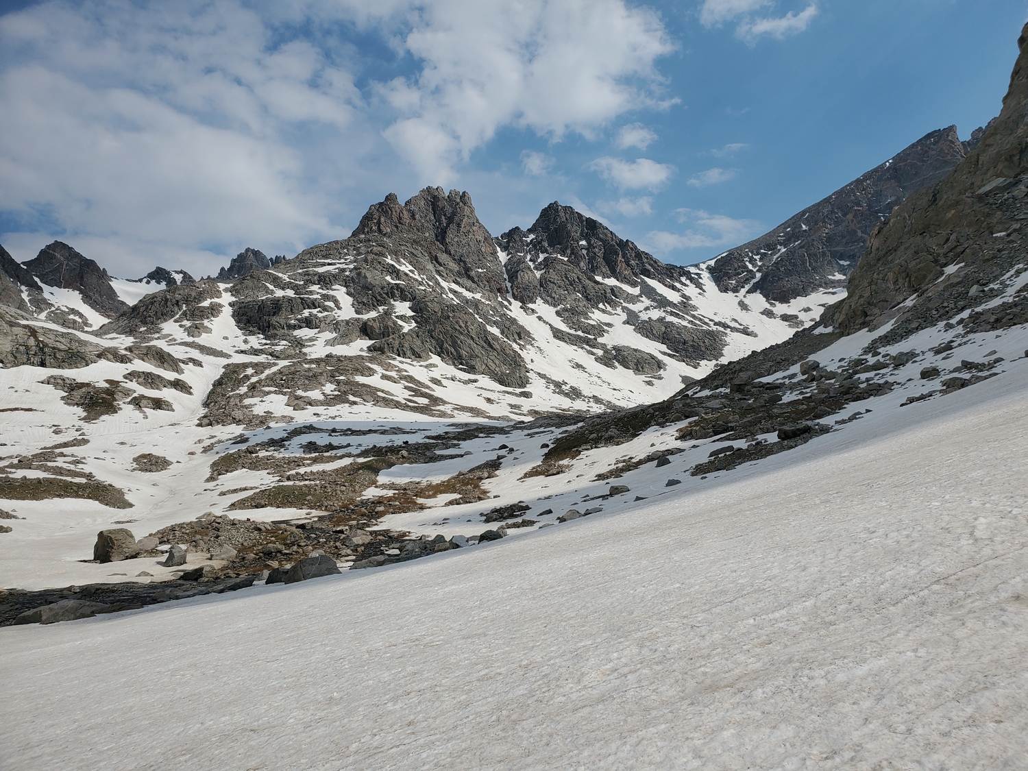
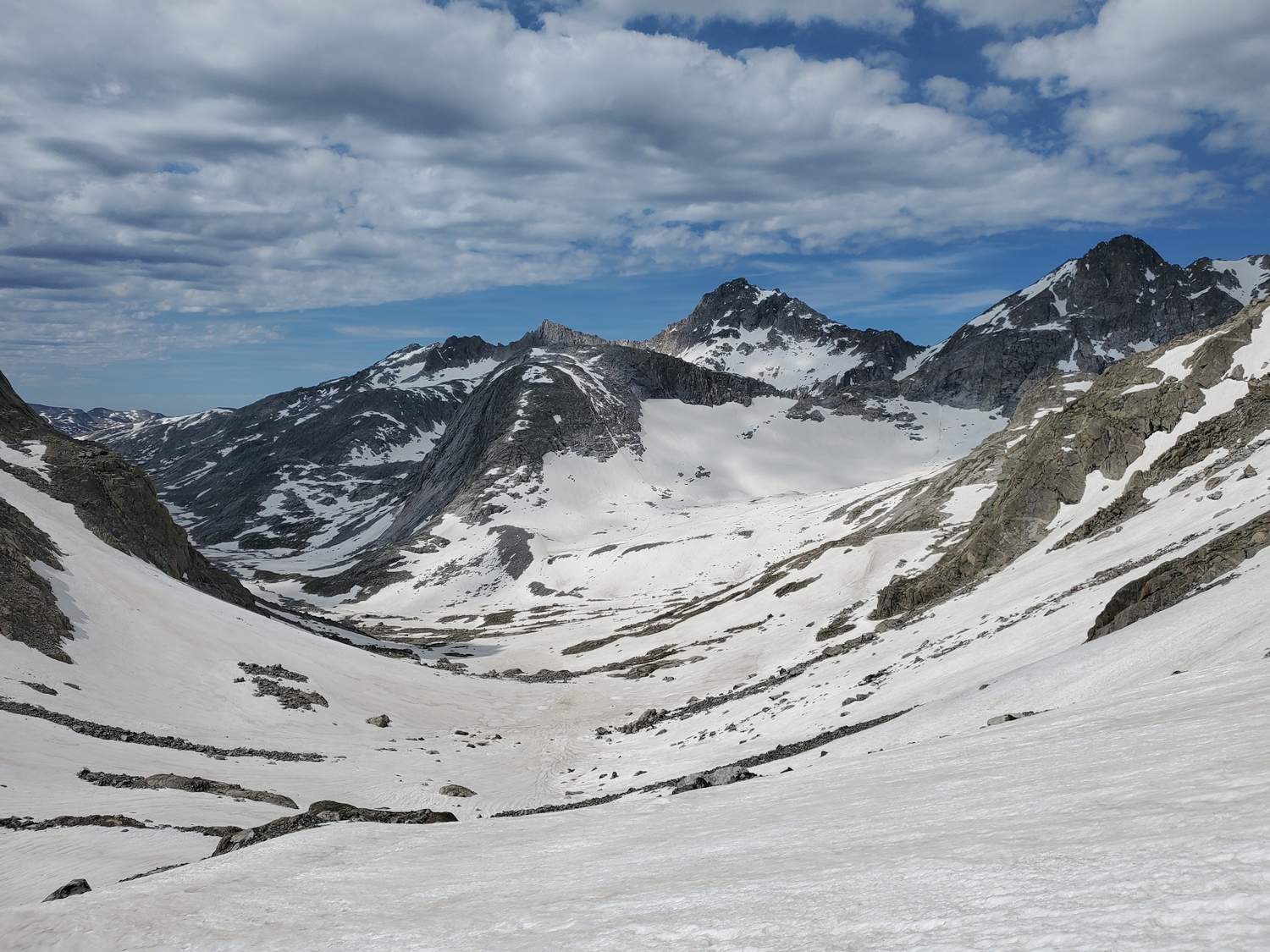
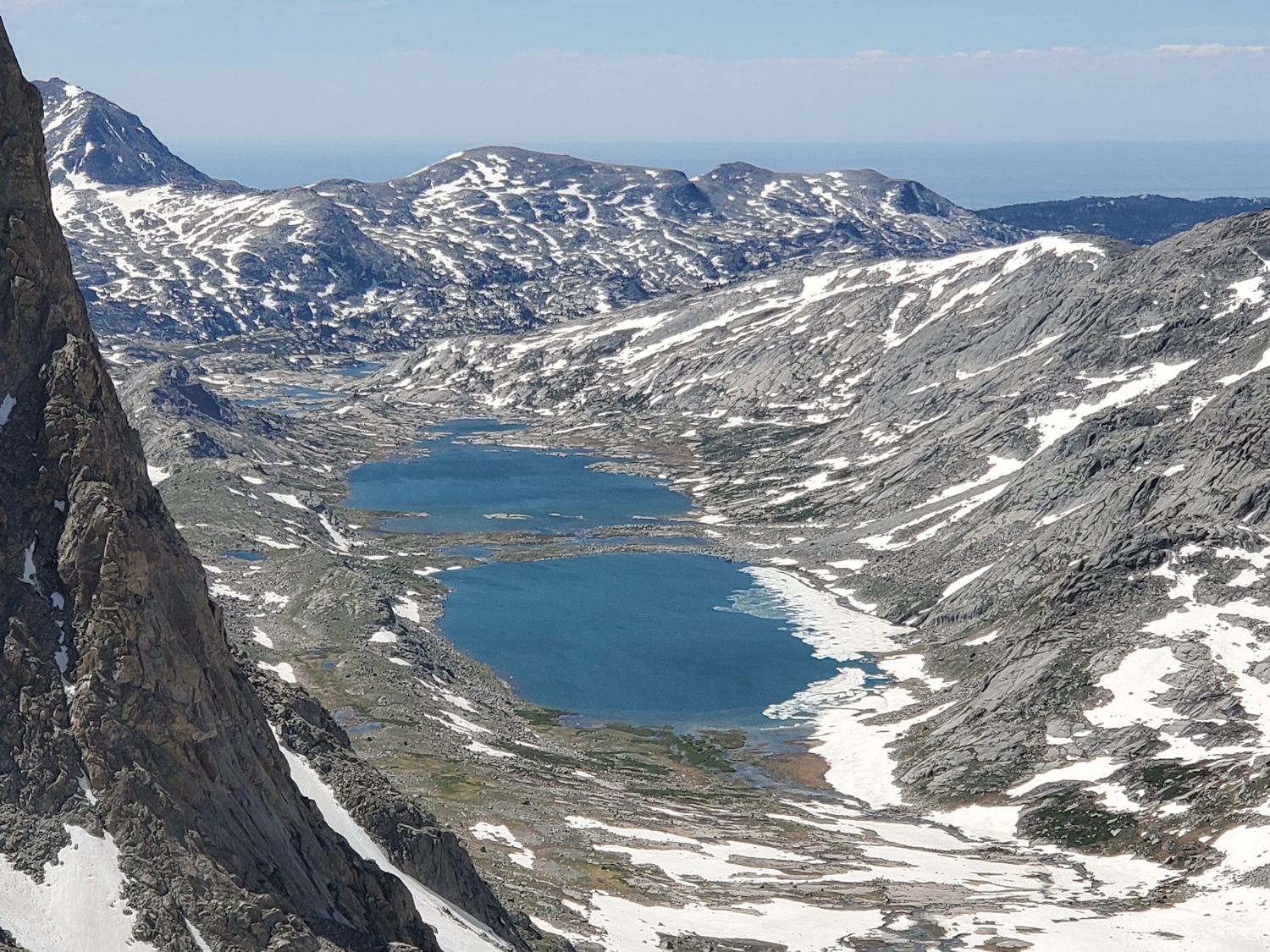
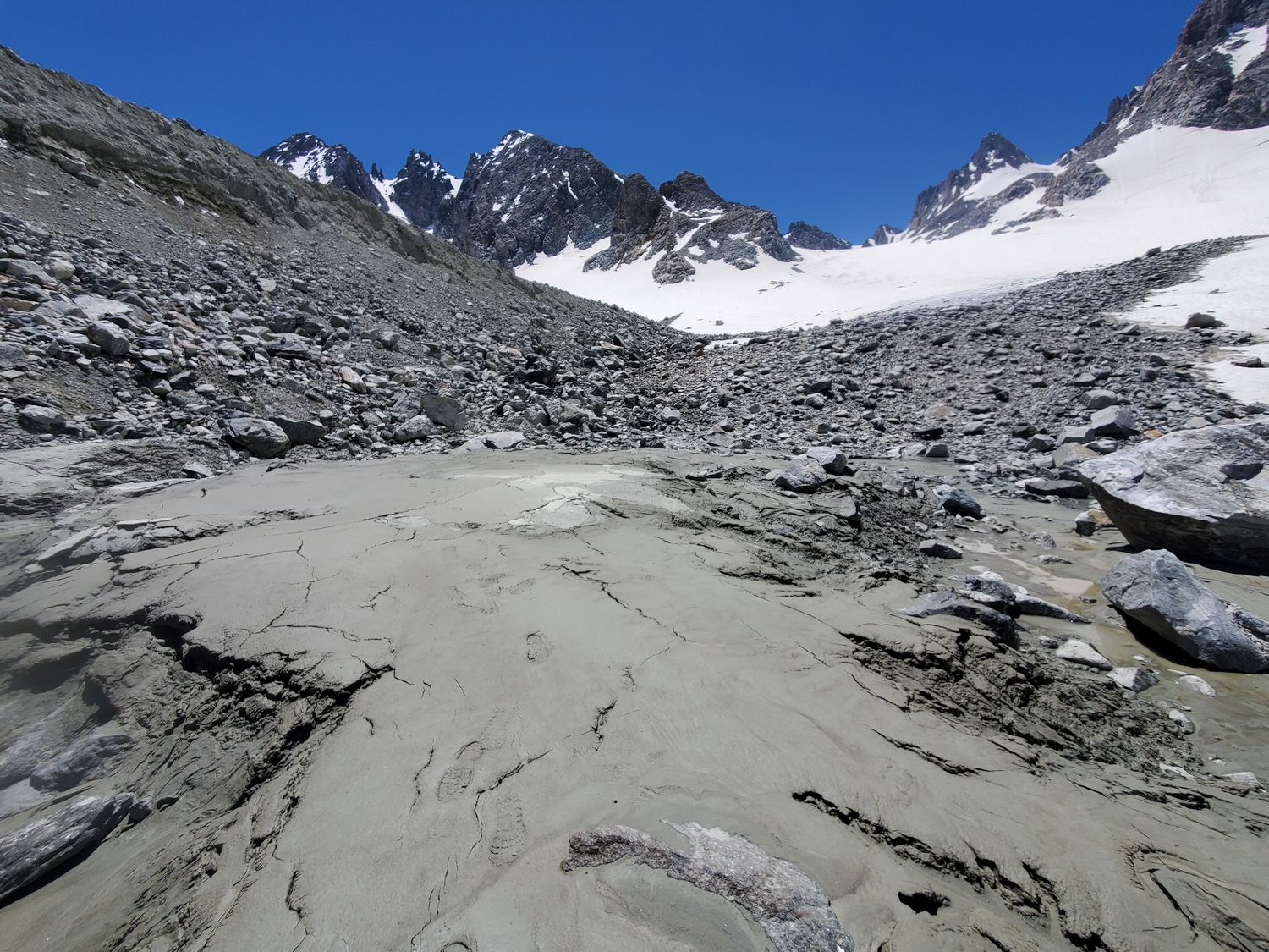
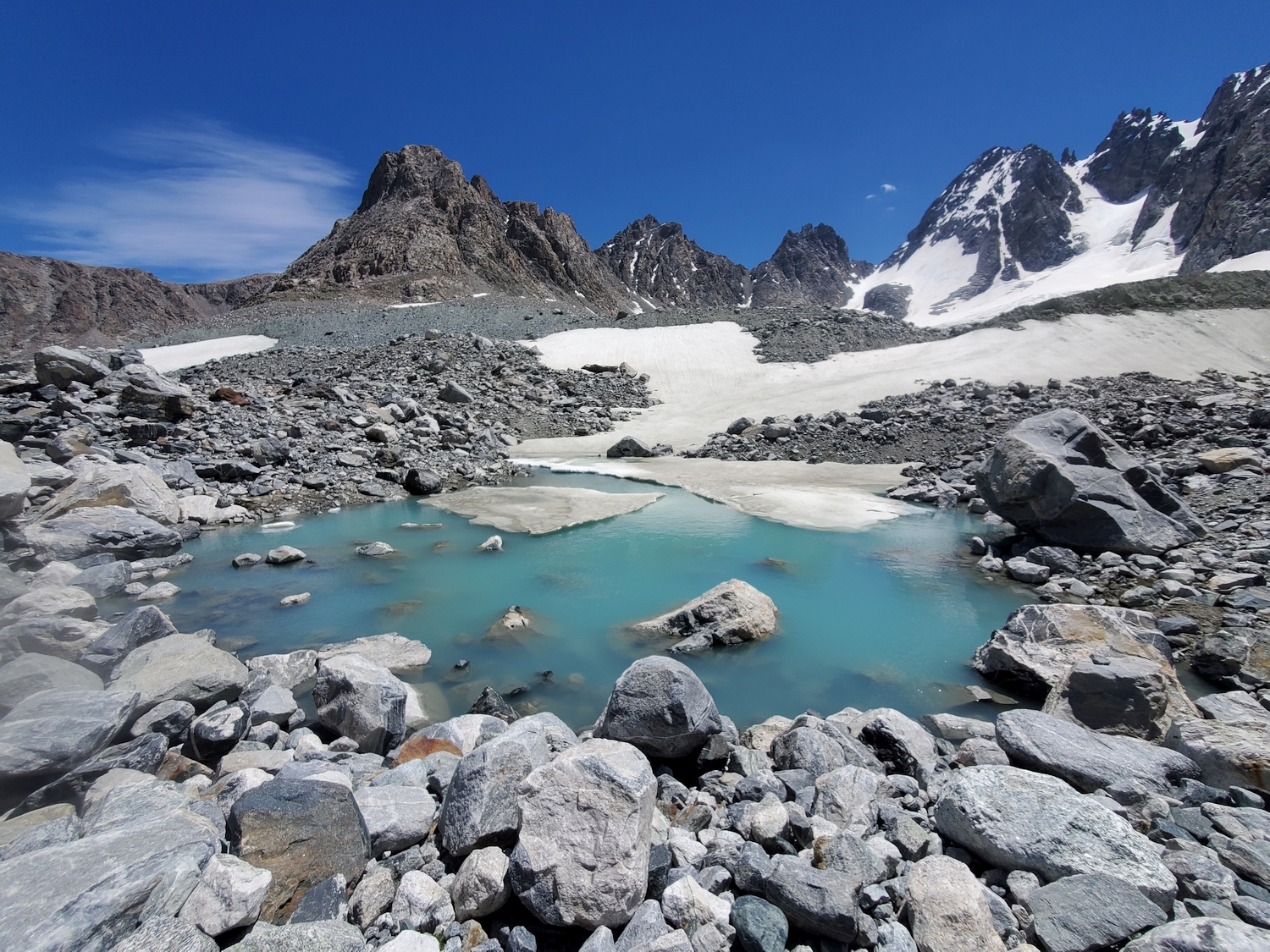
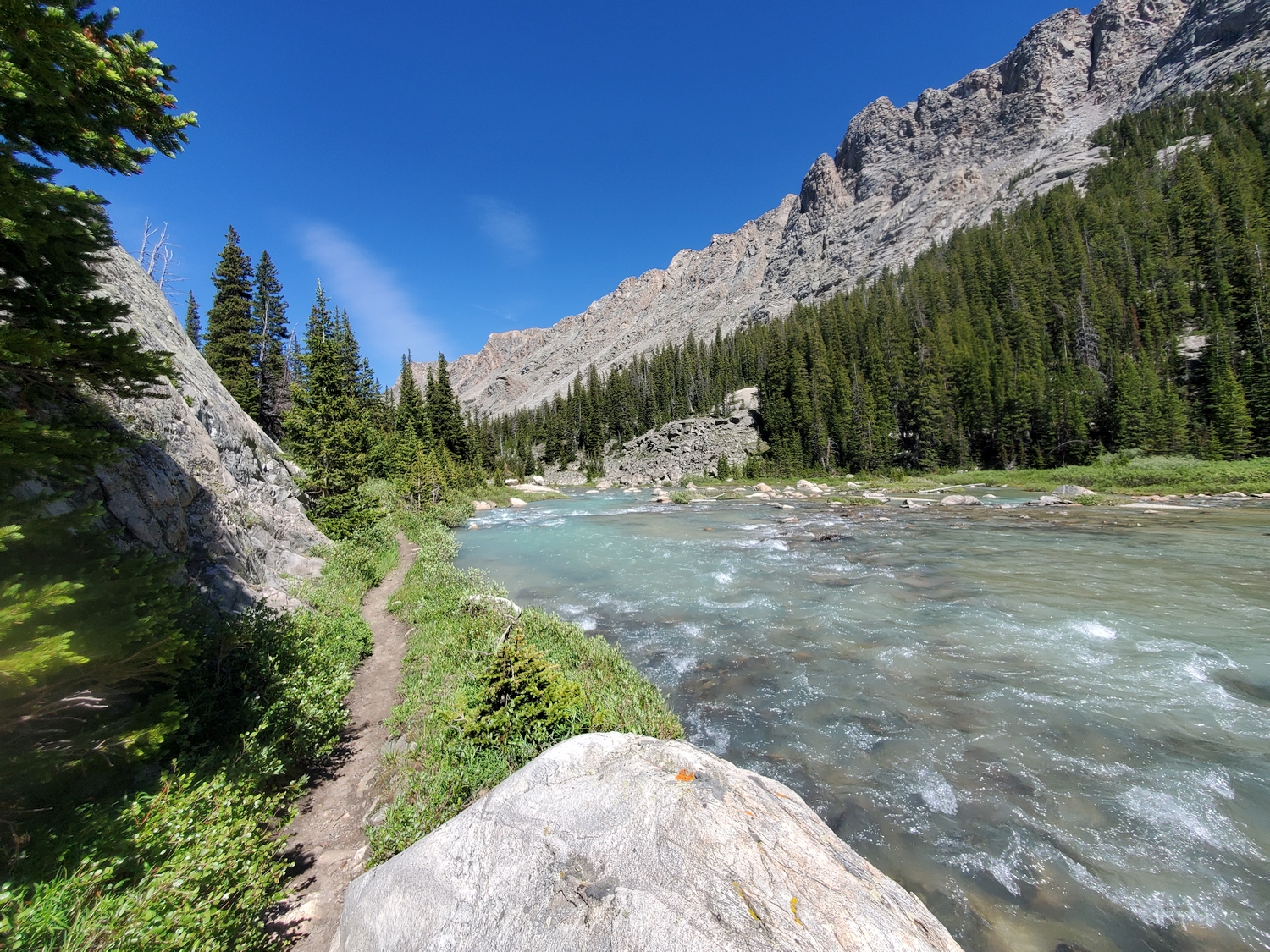
From the end of the Glacier Trail, begin hiking through the large, unstable talus of the Dinwoody moraine, trending southwest on the same general route used to approach the Gooseneck Route on Gannett Peak. After a half-mile or so, instead of continuing on the Gooseneck Route, veer south and cross an additional half-mile of unstable moraine to reach the snout of the Dinwoody Glacier.
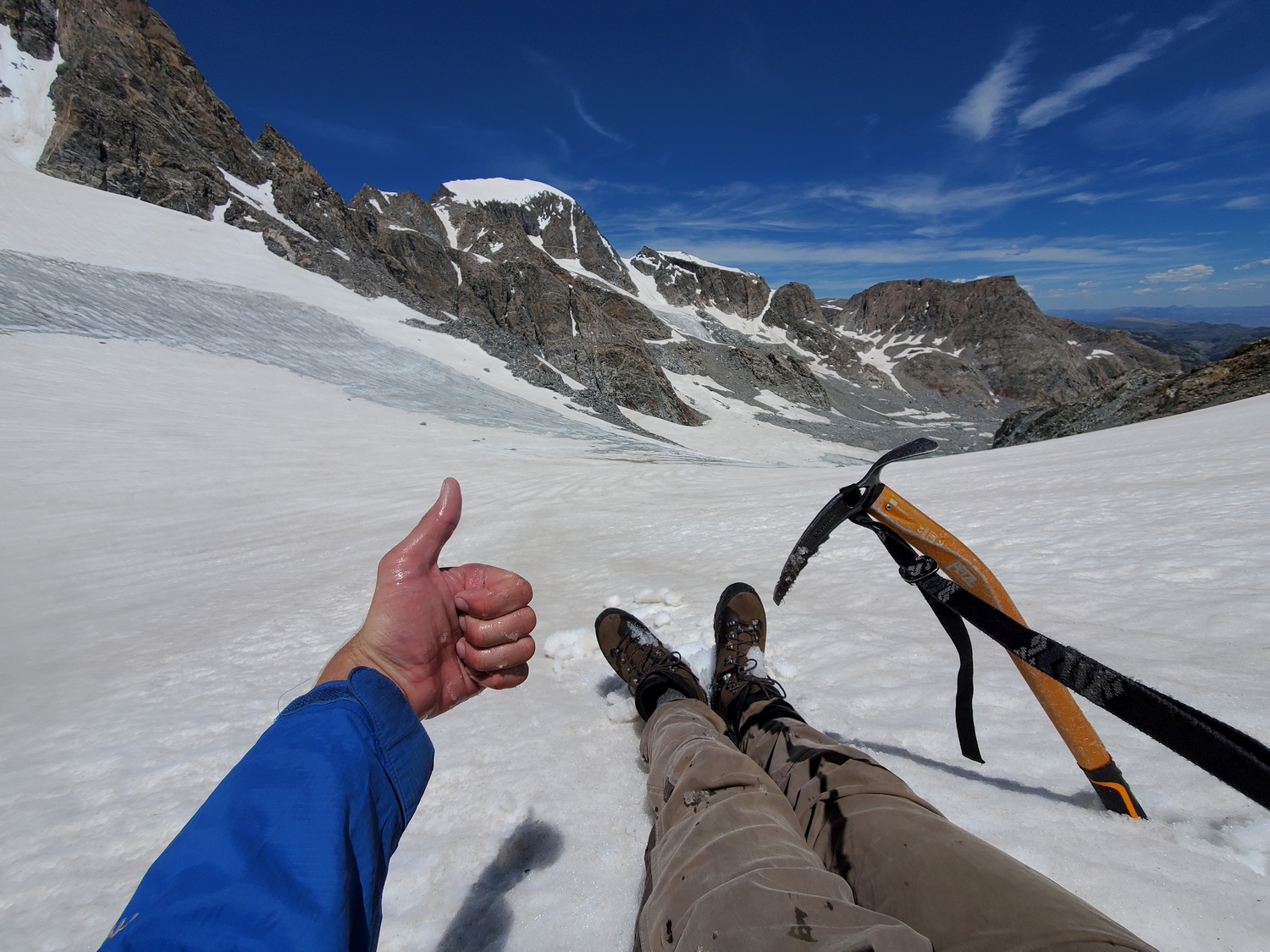
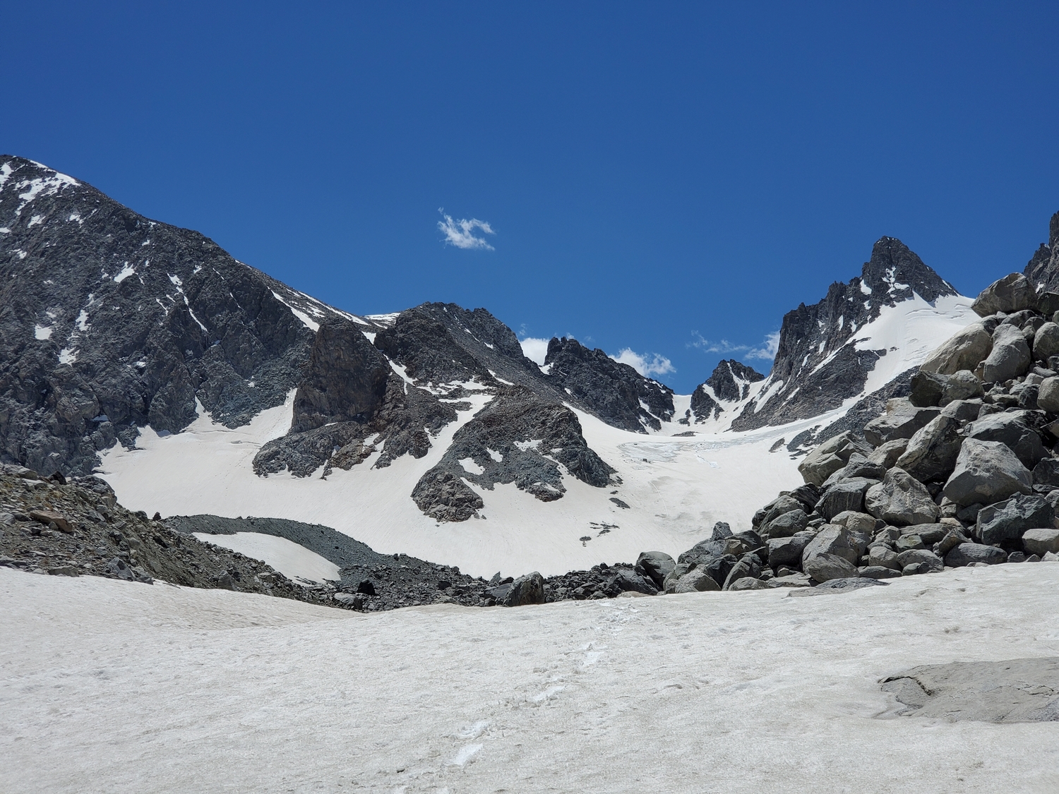
Proceed south up the flattish, snowy expanse of the Dinwoody Glacier (beware of crevasses and moulins) to reach the northwest slope of Bonney Pass. From the glacier’s edge around 12,300 ft., proceed up 500 ft. of talus to the pass.
Final Ascent, All Approaches
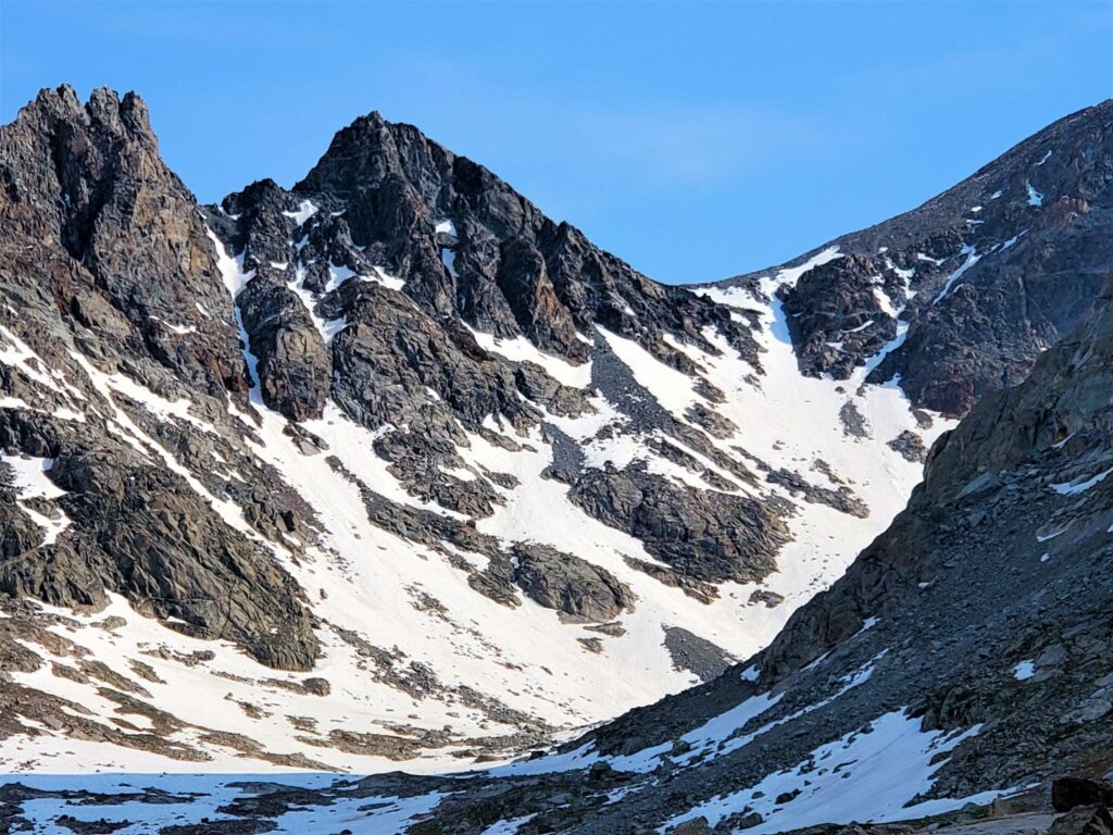
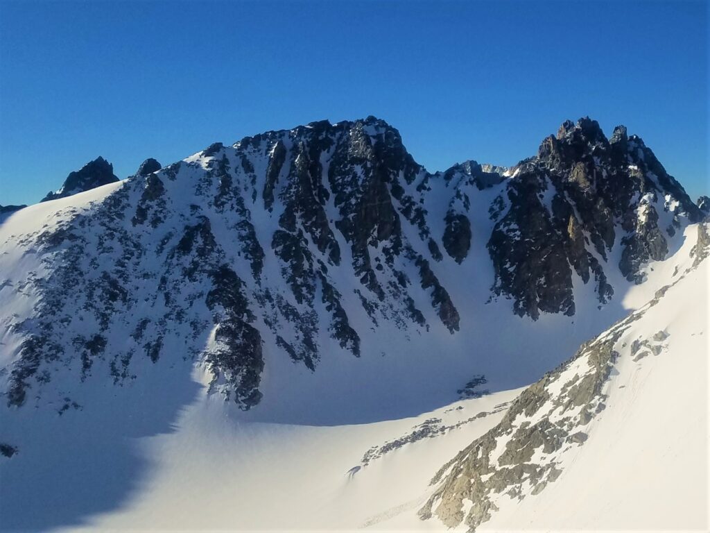
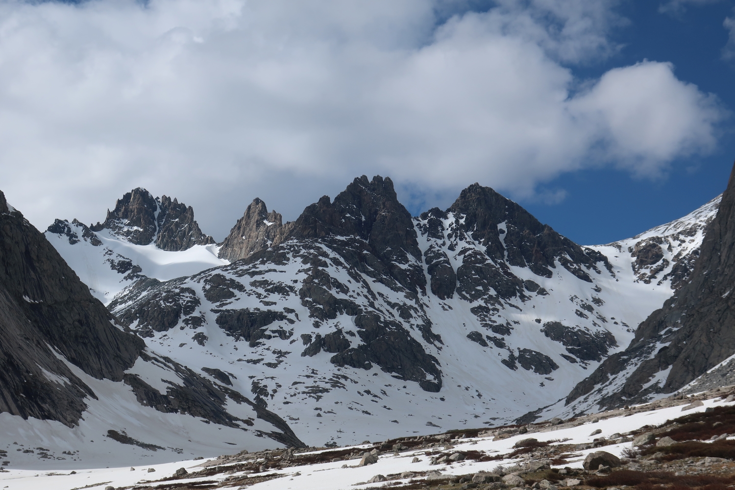
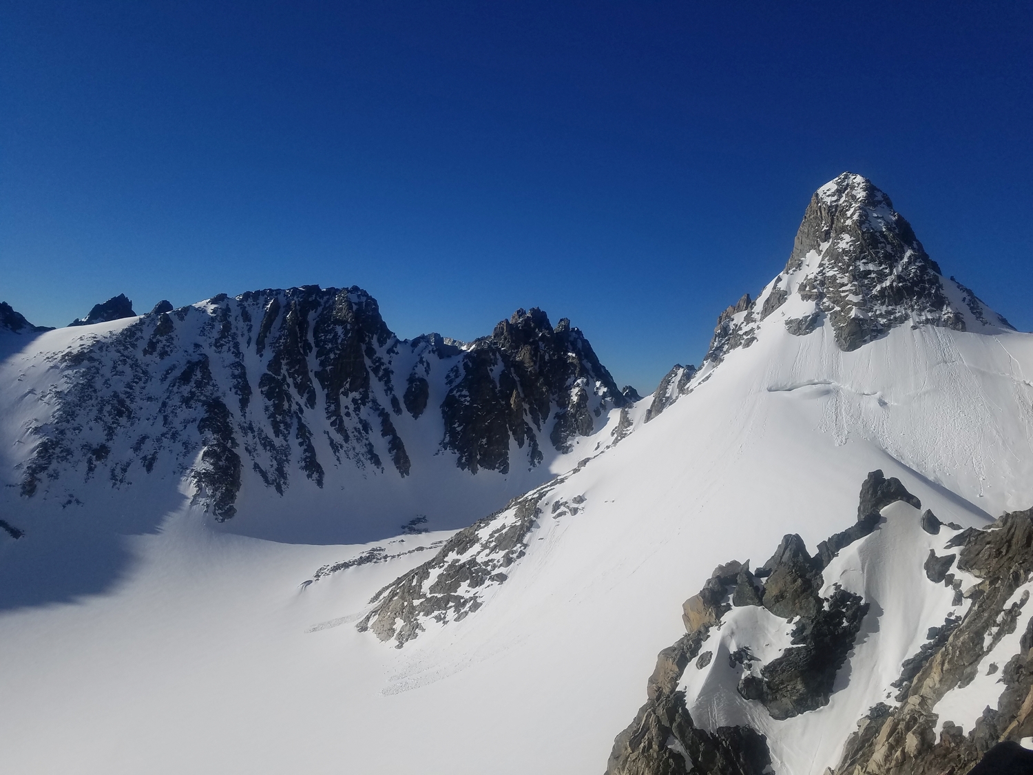
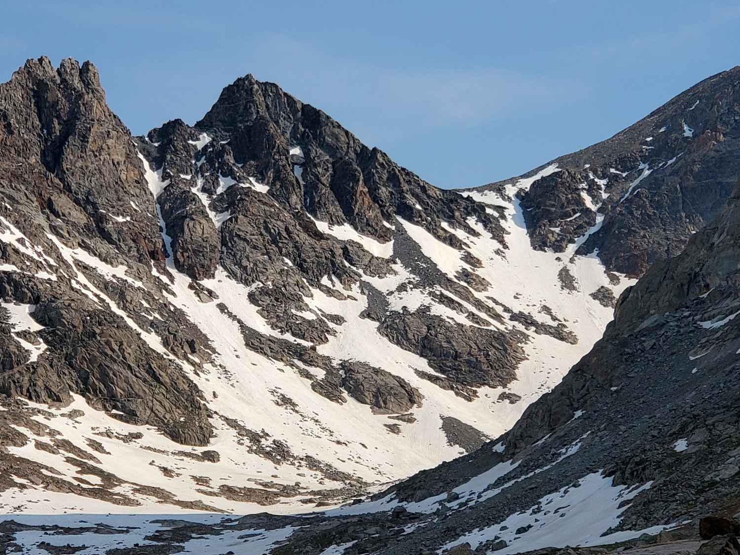
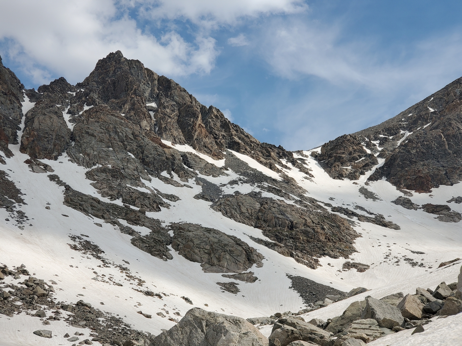
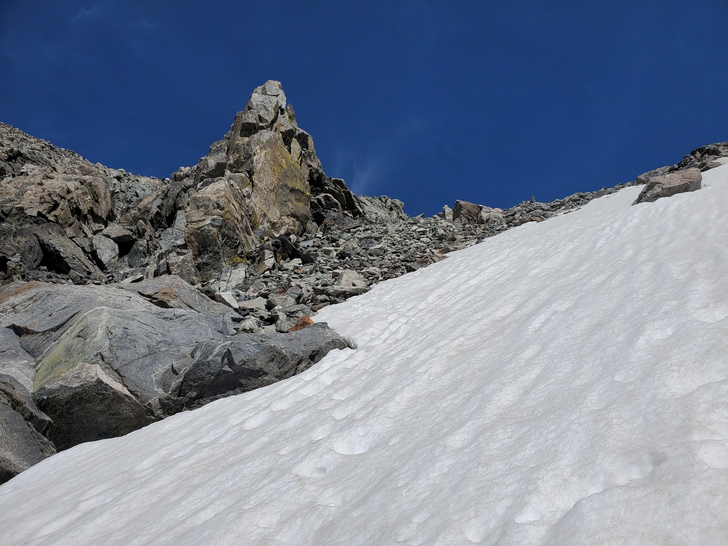
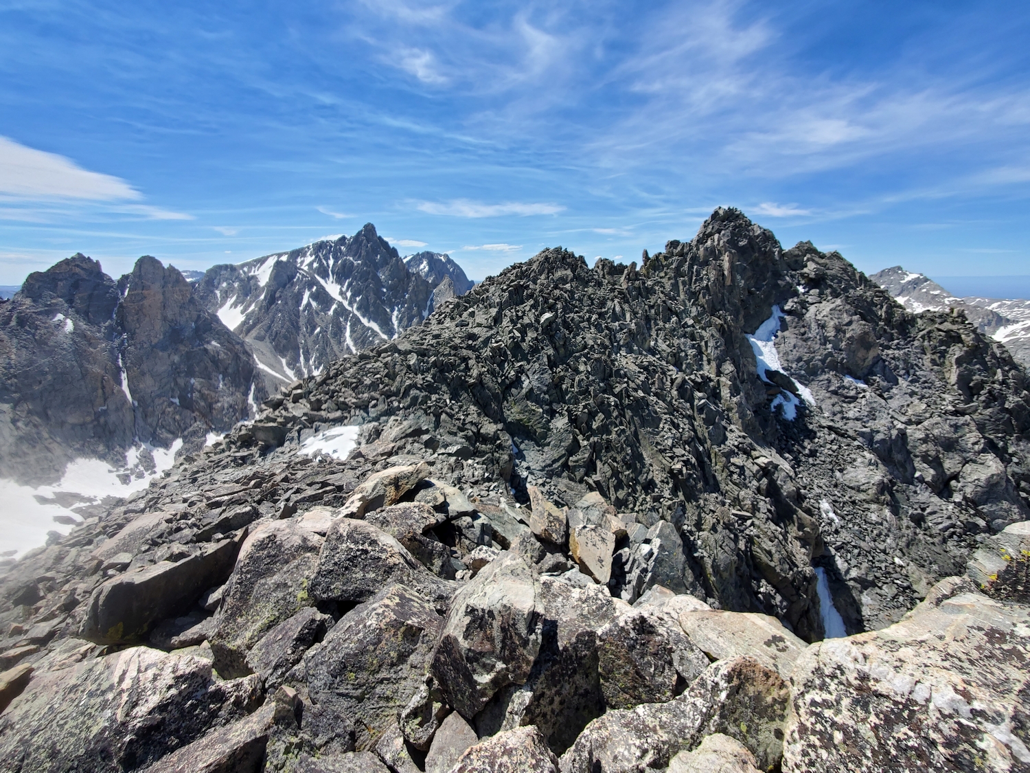
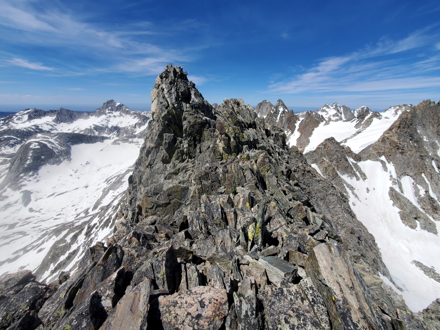
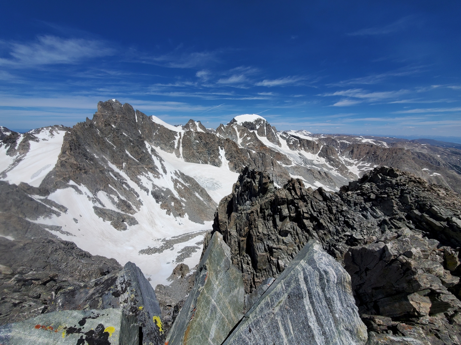
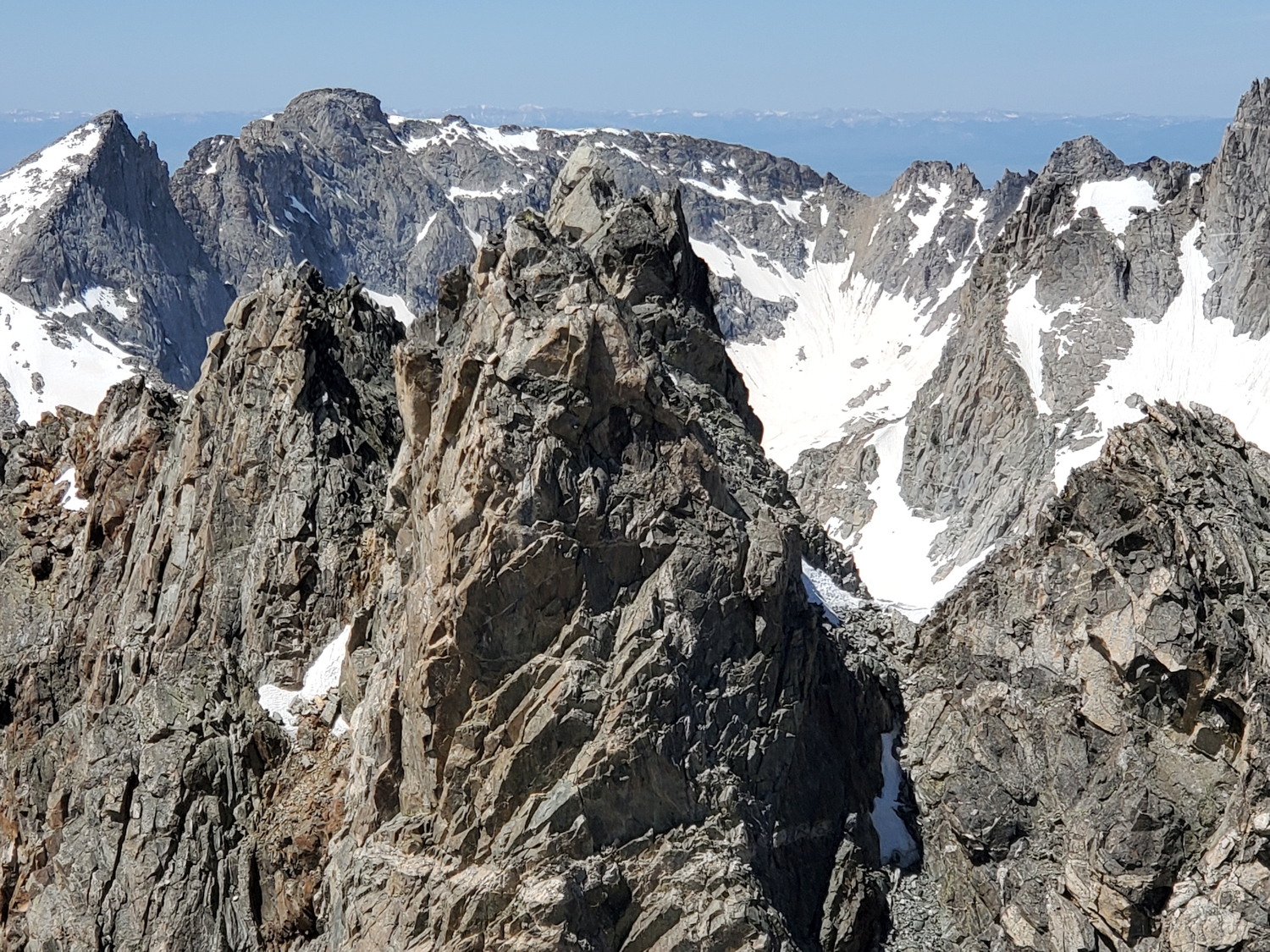
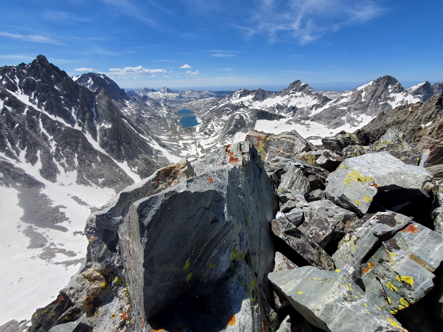
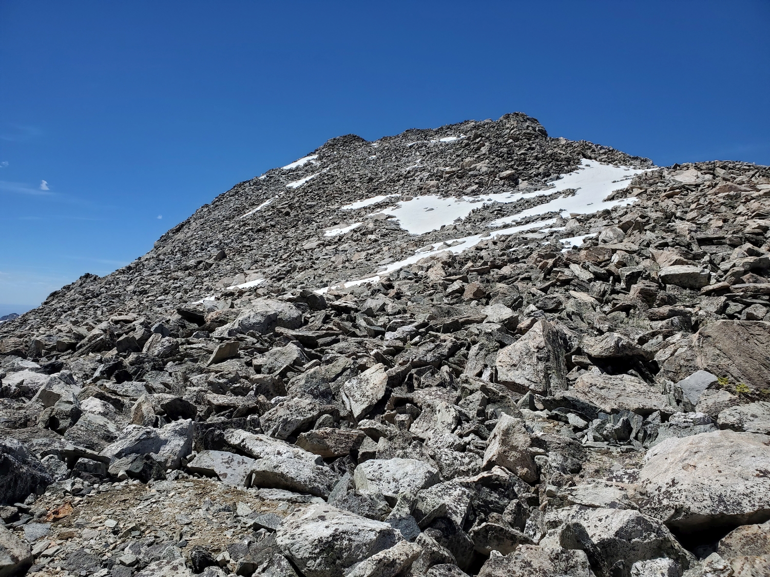
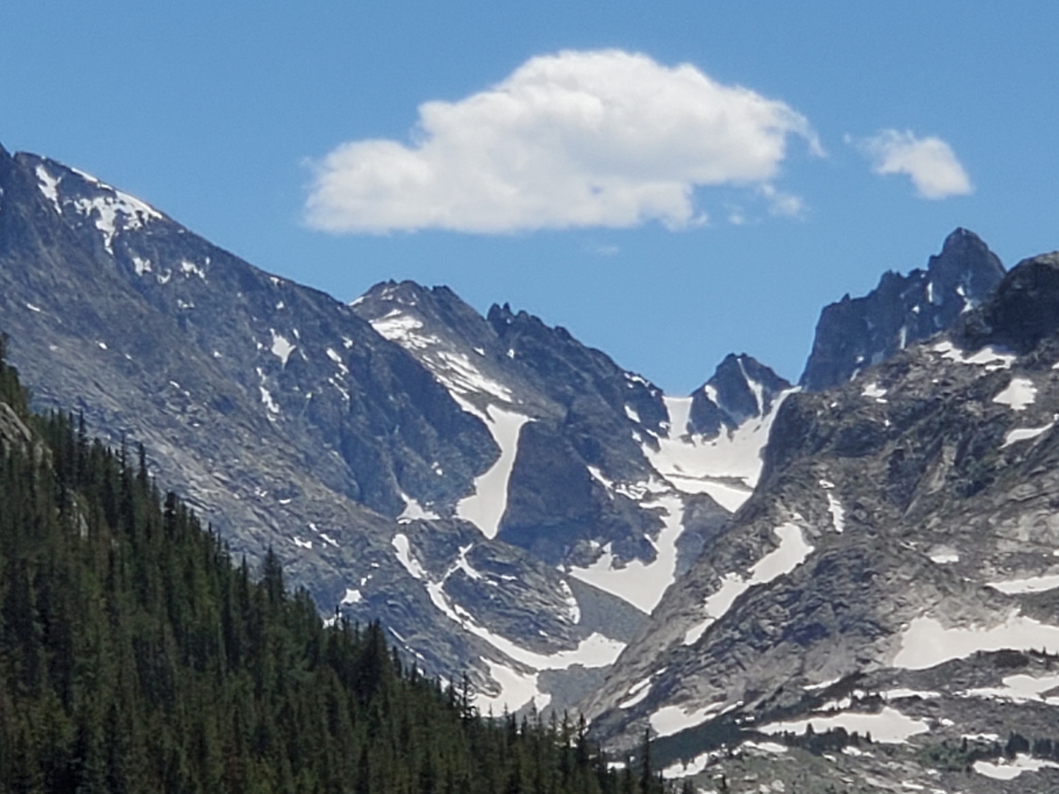
From Bonney Pass, Miriam is the peak at the top of the slope leading up to the west. (The summit on the eastern side of the pass is Dinwoody Peak, an unranked 13er and subsummit of Mount Warren). Hike several hundred feet up the narrowing triangular slope on talus, arriving at the summit area.
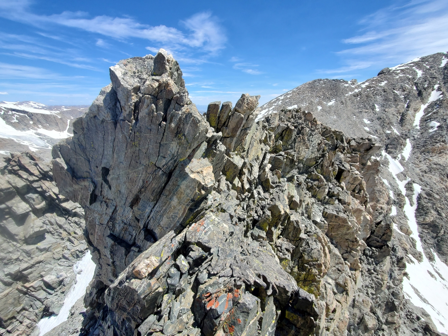
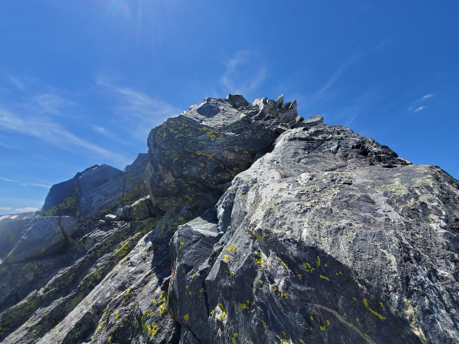
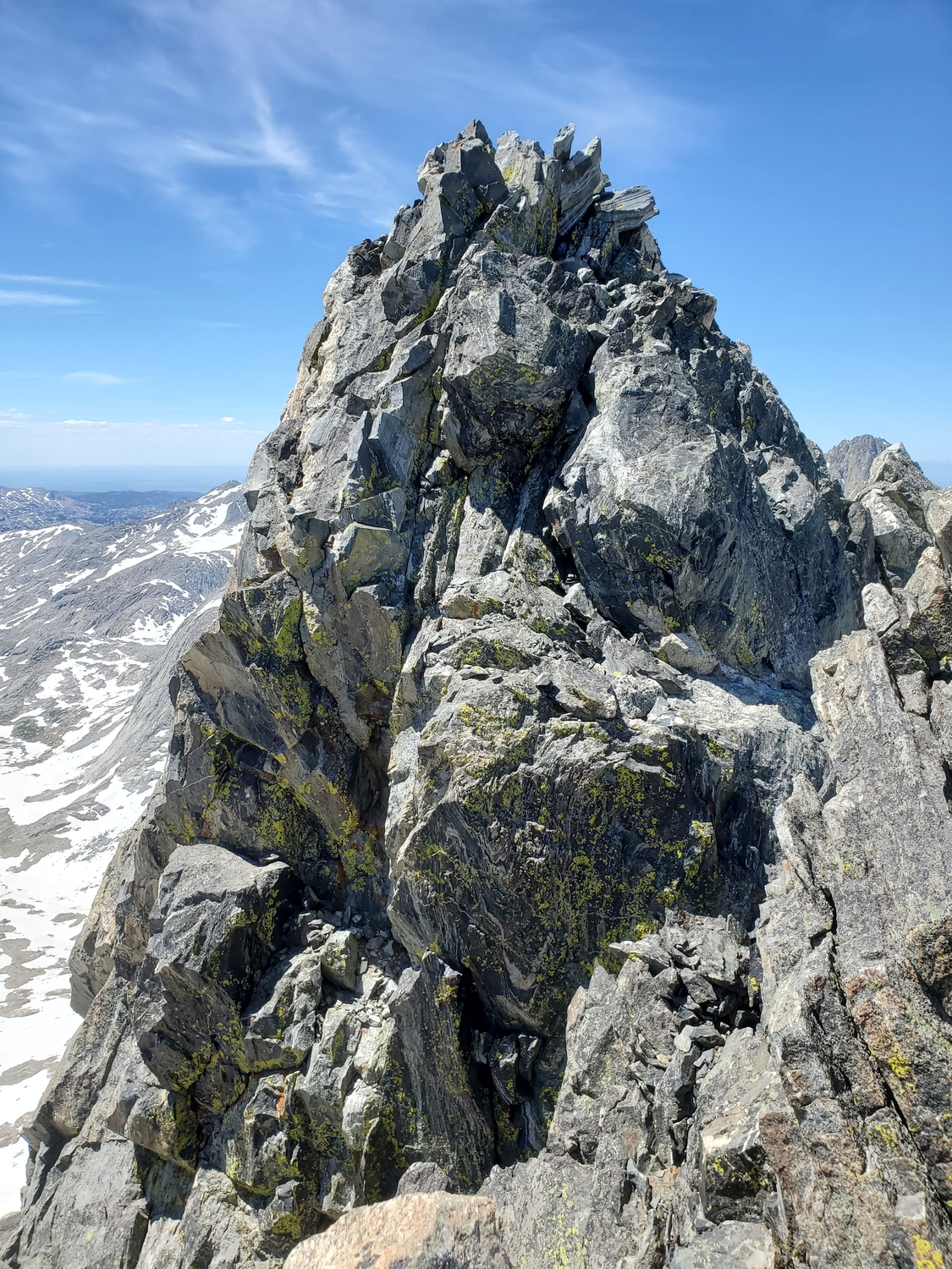
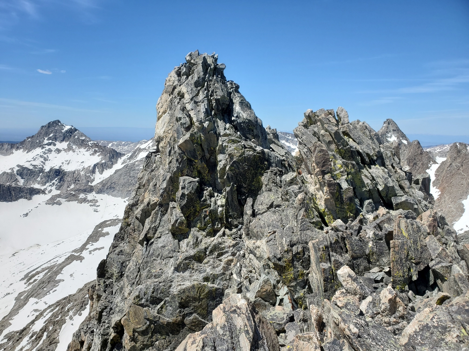
Almost all of this route is class 2, but the summit is guarded by a short section of decidedly more difficult terrain. From the fore summit, downclimb and traverse below the crest of the ridge on the left (south) side over intense exposure to reach the summit pinnacle. Surmounting this spire requires a few dozen feet of exposed climbing on blocky terrain. Enjoy the view from this “new” Wyoming 13er!