Mount Febbas
Elevation: 13,458 ft.
Prominence: 696 ft.
Isolation: 1.1 miles
Technical Difficulty: Class 2


Mount Febbas Guidebook
Introduction
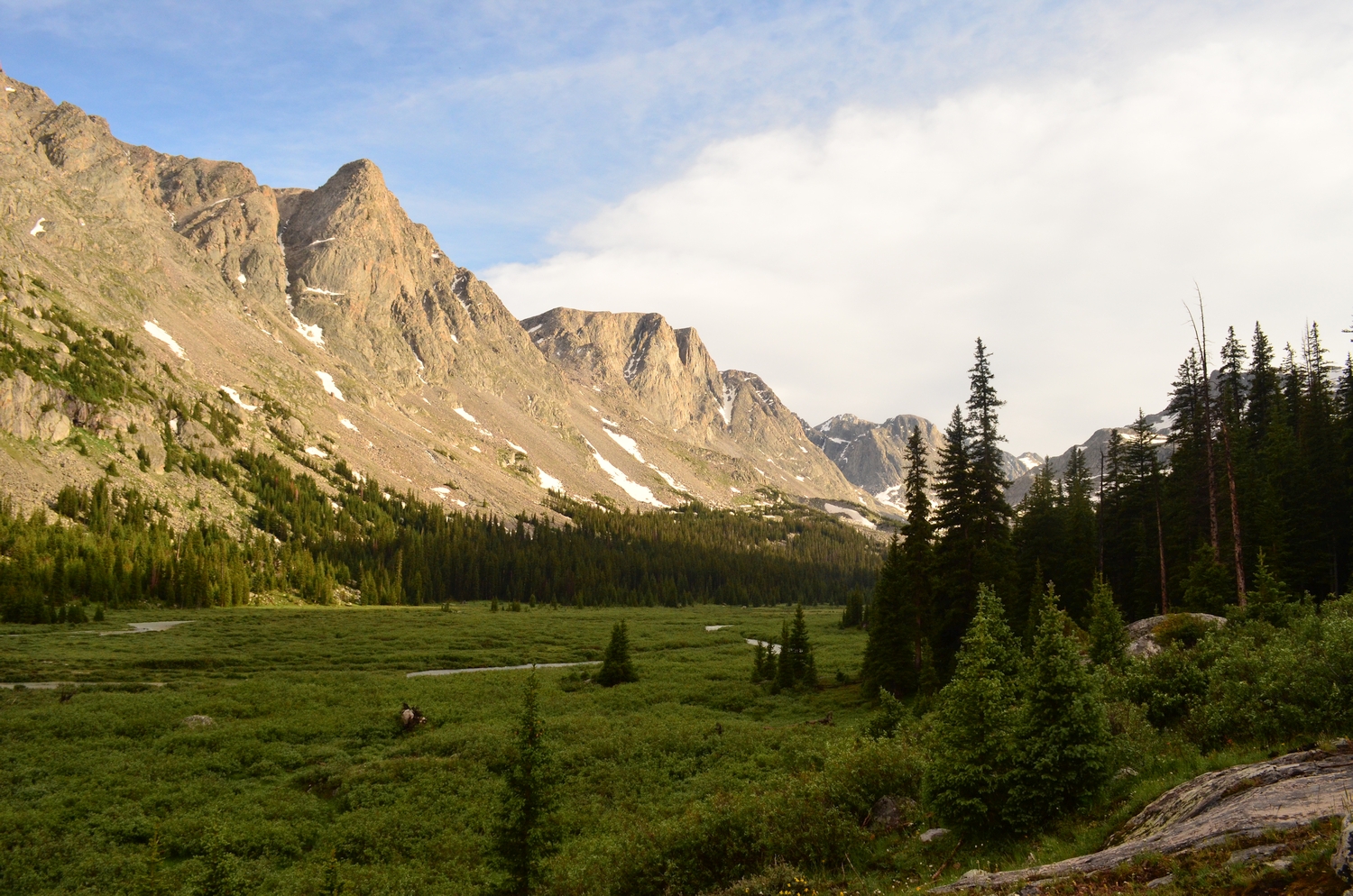
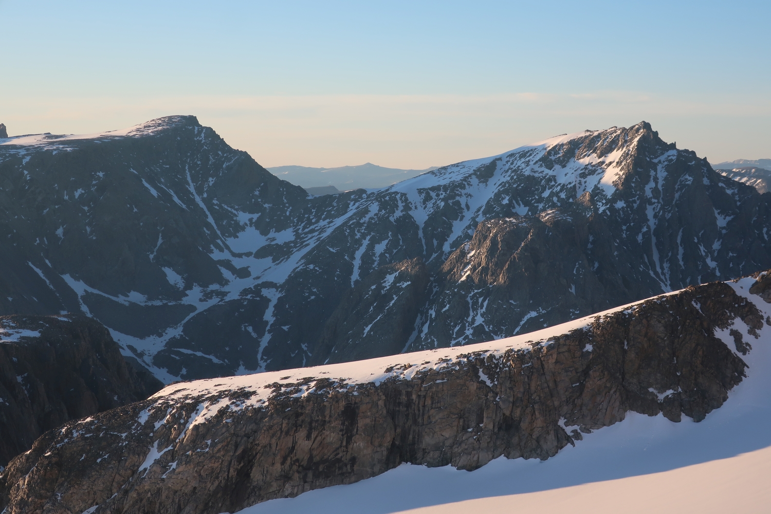
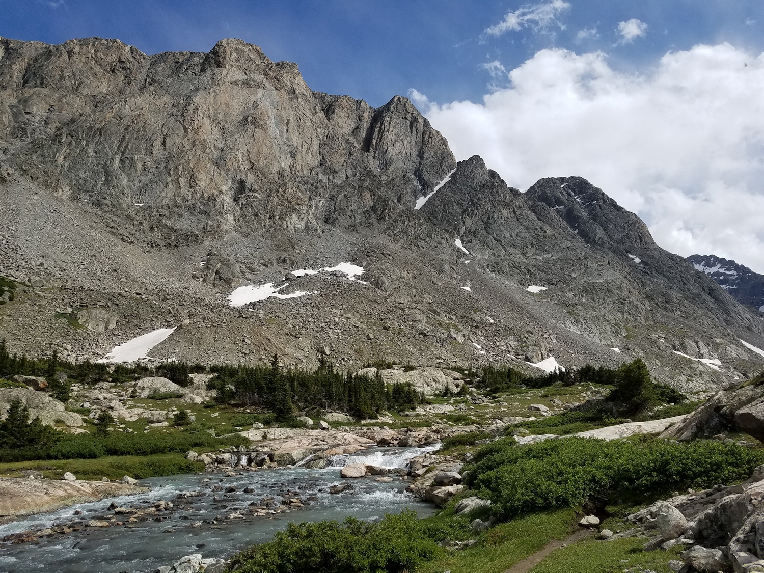
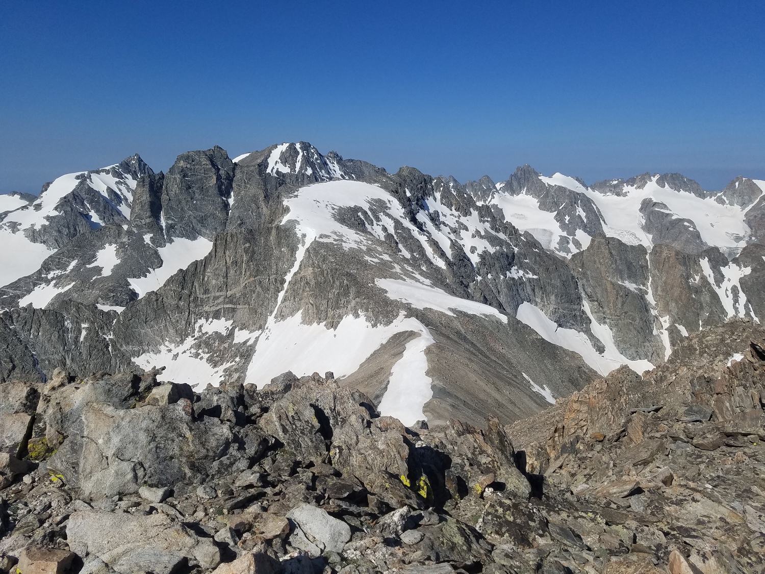
When hiking up the Glacier Trail, a towering rock wall parallels the trail on the other side of Dinwoody Creek for many miles. This is the edge of the peneplain remnant called Horse Ridge, and it rises gradually for over 10 miles to the broad summit of Mount Febbas, its highpoint. Similar to Bete Noire a little distance to the south, Febbas is a relatively mellow high peak situated east of the Divide, thus providing excellent panoramic views of the core Wind River glaciers, and it will likely become a popular objective in due time. According to the Bonneys, Febbas was named for an early backcountry guide from a dude ranch on the Green River.
General Considerations
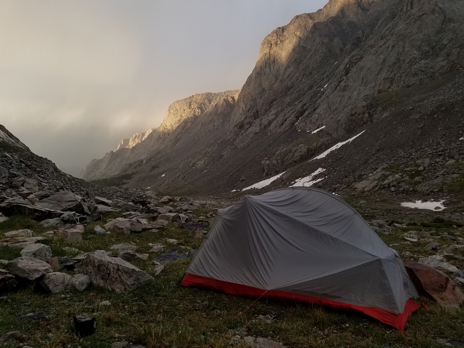
Febbas is one of the highest peaks in Wyoming that can be reached by non-technical hiking routes. This peak would be a good objective for someone with plenty of wilderness experience looking to make the transition from hiking to mountaineering. For instance, backpackers crossing Blaurock Pass might consider dropping their packs at the saddle and detouring to Febbas’s summit. Of course, remember to respect the risk inherent in all mountain climbing regardless of difficulty—even a simple accident on talus can be disastrous when venturing this deep into the backcountry.
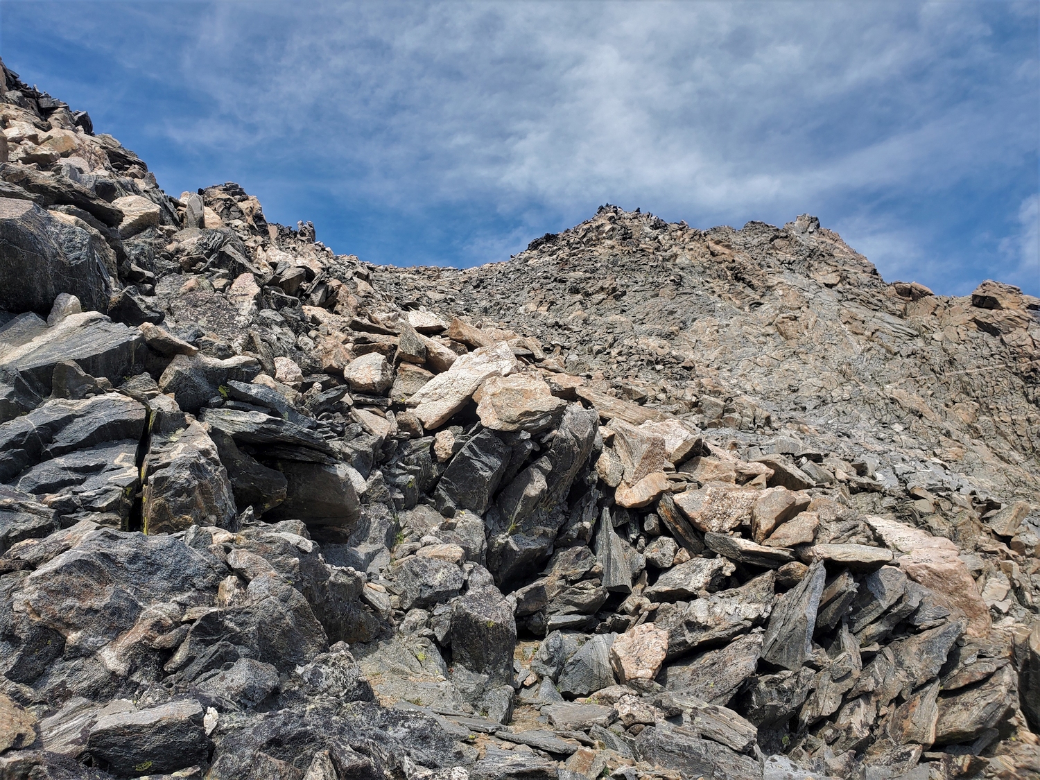
Route 1: Southwest Slopes – Class 2+
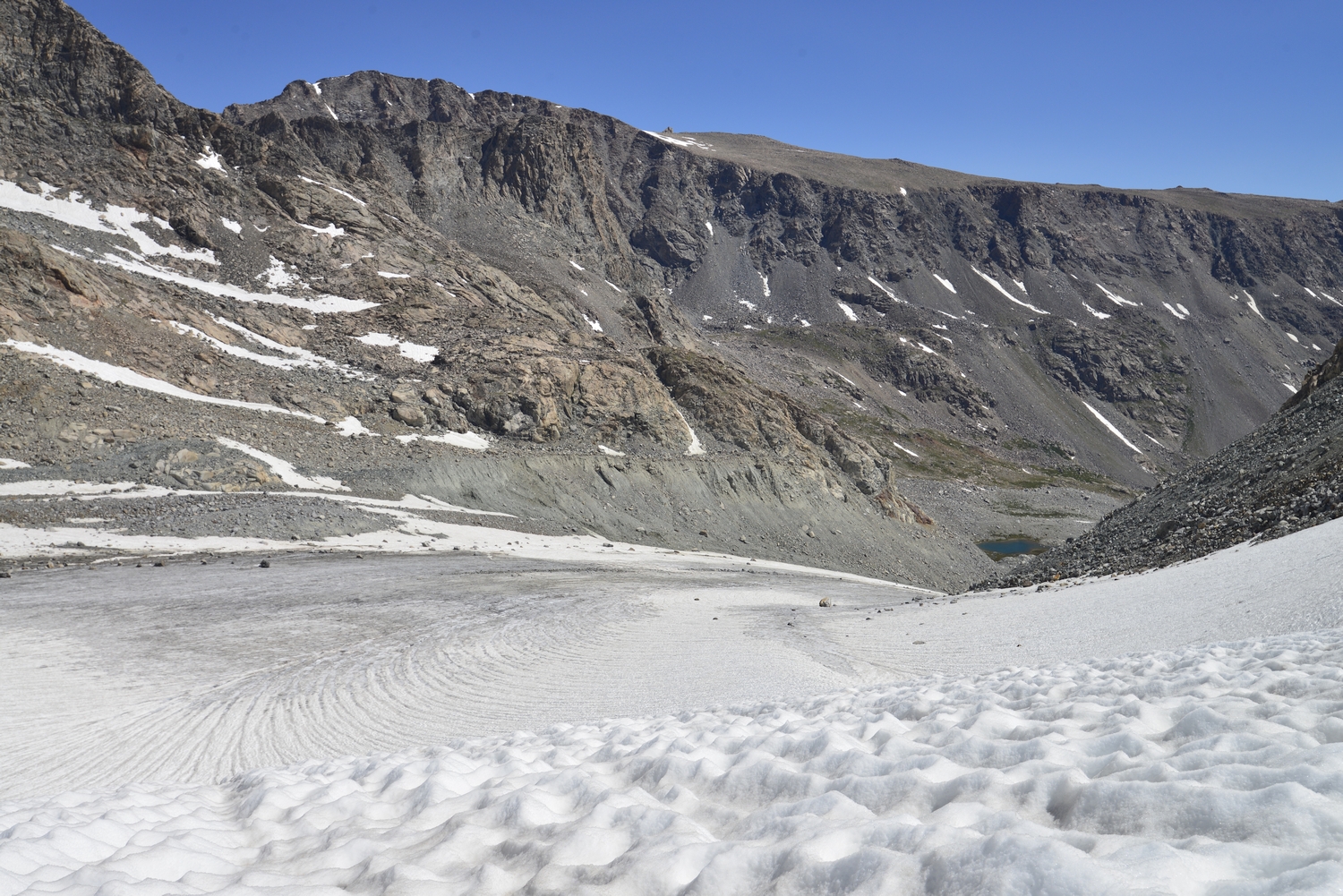
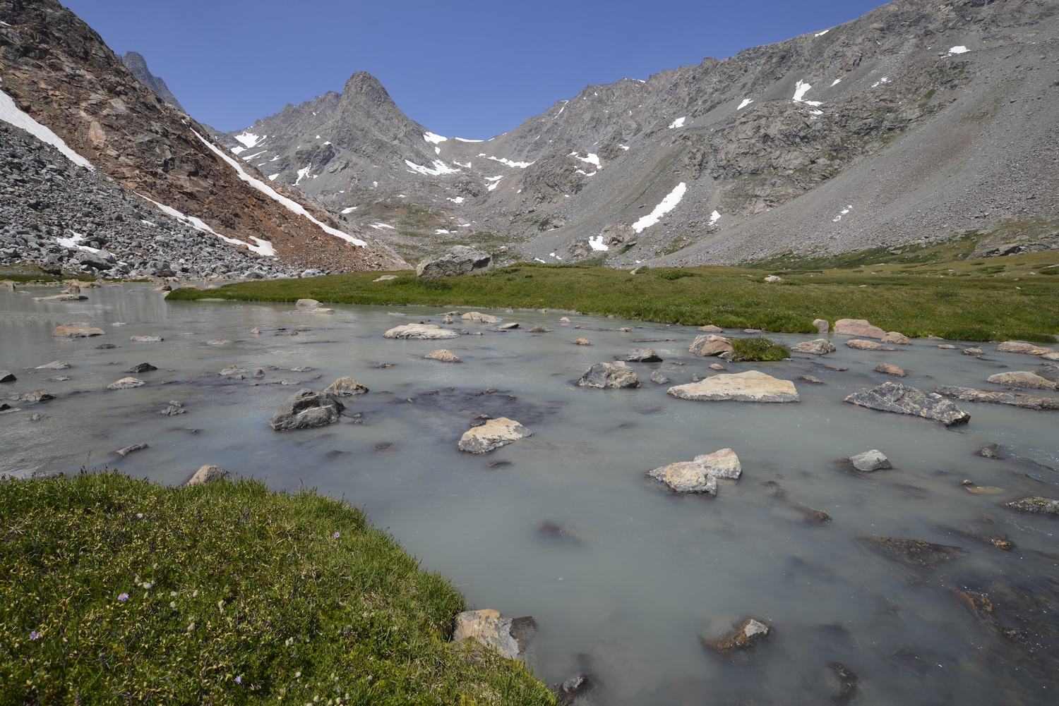
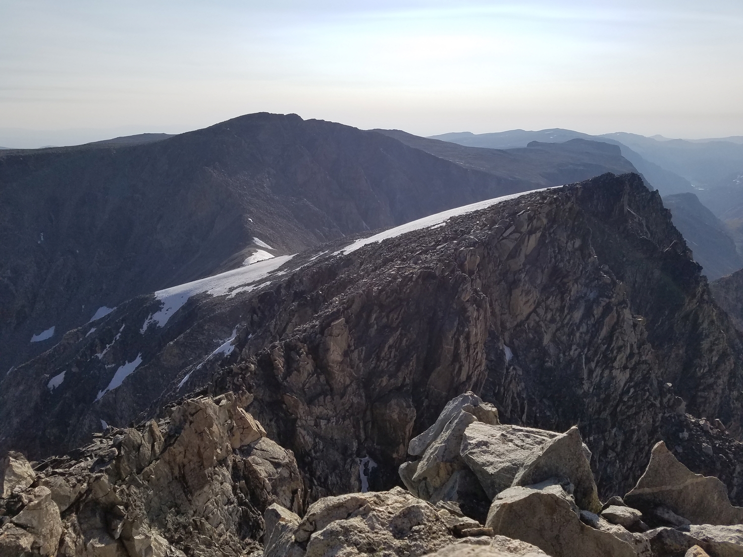
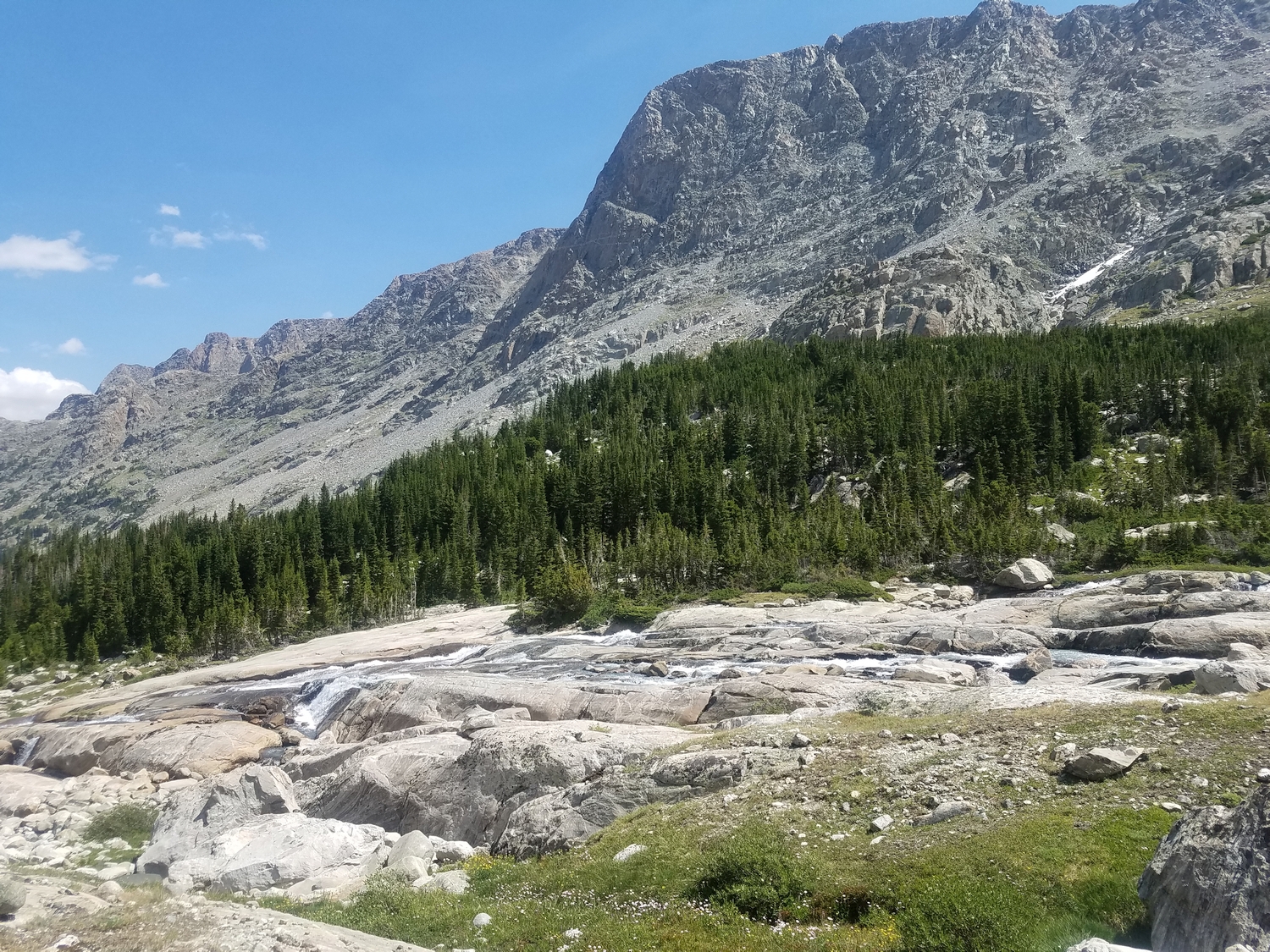
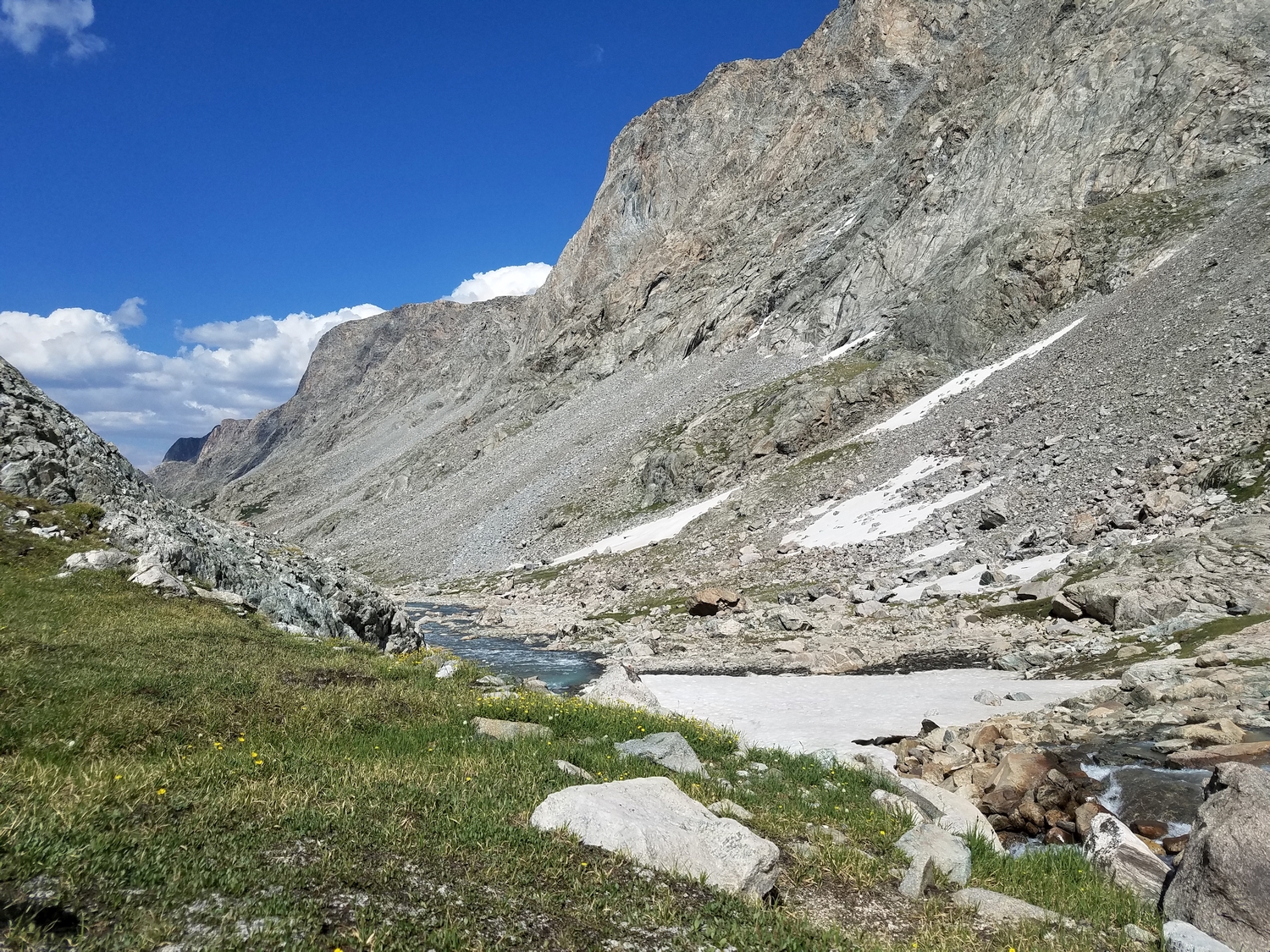
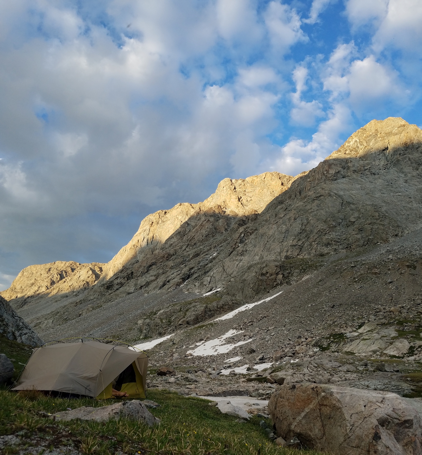
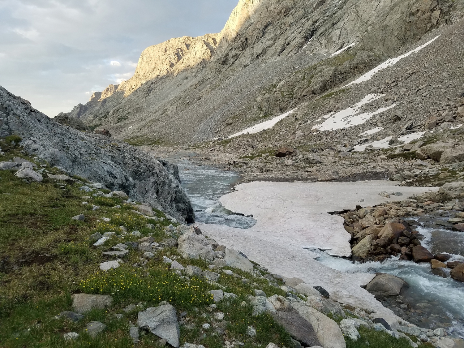
As with Sunbeam Peak’s standard route, this summit jaunt starts from the scenic crest of Blaurock Pass. Starting at either the end of the Glacier Trail in the upper Dinwoody Valley or the Helen Glacier outwash in the North Fork of Bull Lake Creek, ascend tedious scree slopes to Blaurock Pass. Alternatively, reach the pass by traversing from Sunbeam.
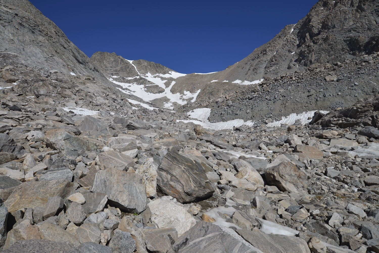
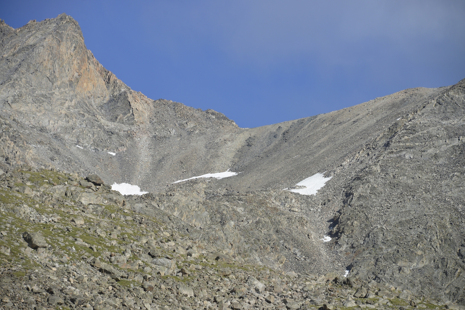
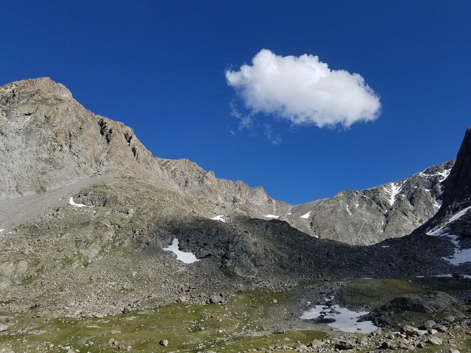
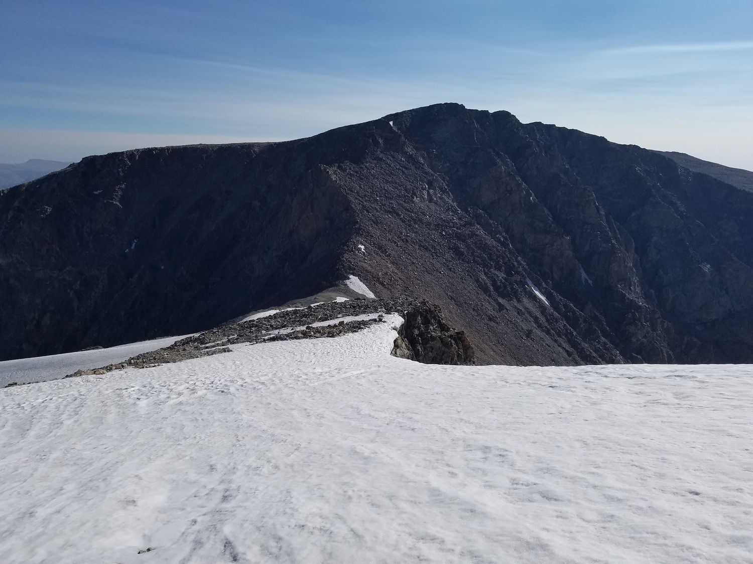
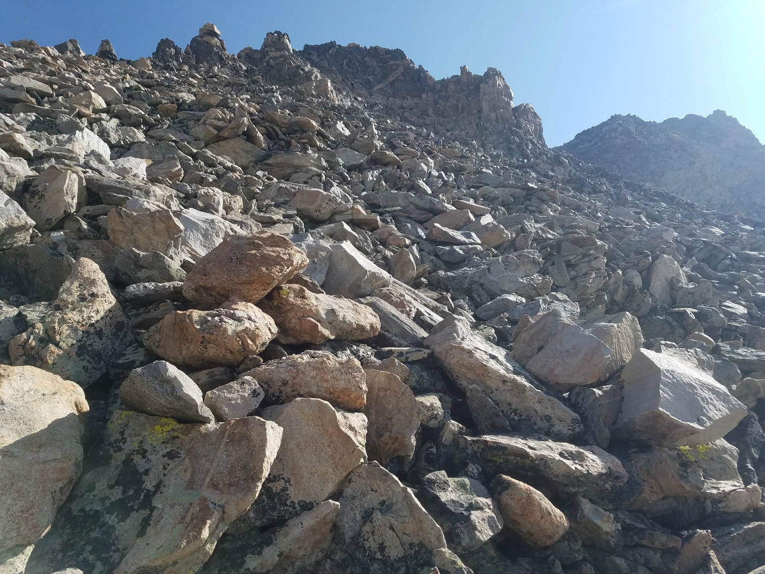
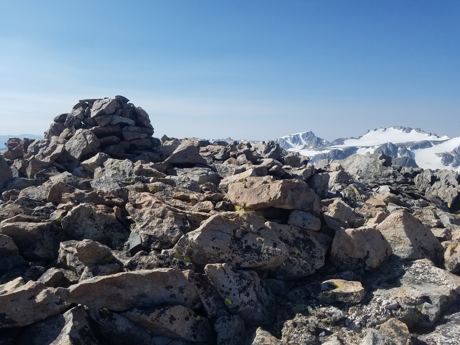
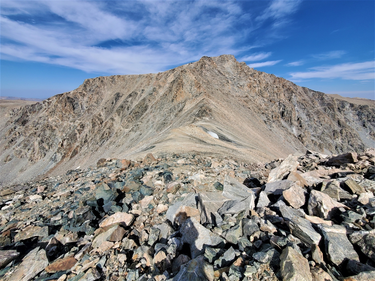
From there, a few hundred feet of loose talus climbing grants access to the summit. The easiest route ascends open talus fields substantially south of the ridge. For those who feel comfortable on the ascent of Blaurock Pass, climbing Febbas is only slightly more difficult. The author witnessed a house-sized rock spontaneously release from the cliffs just west of here and crash into the valley below; explore cautiously and pay attention to the dynamic potential of unstable landscapes.
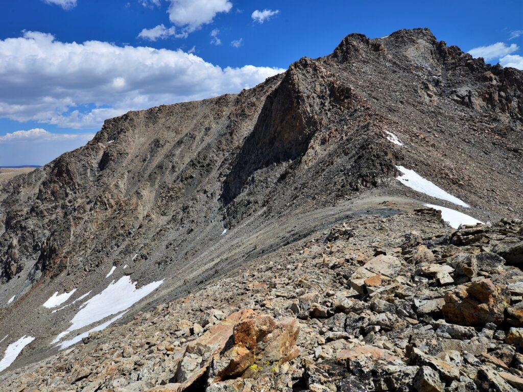
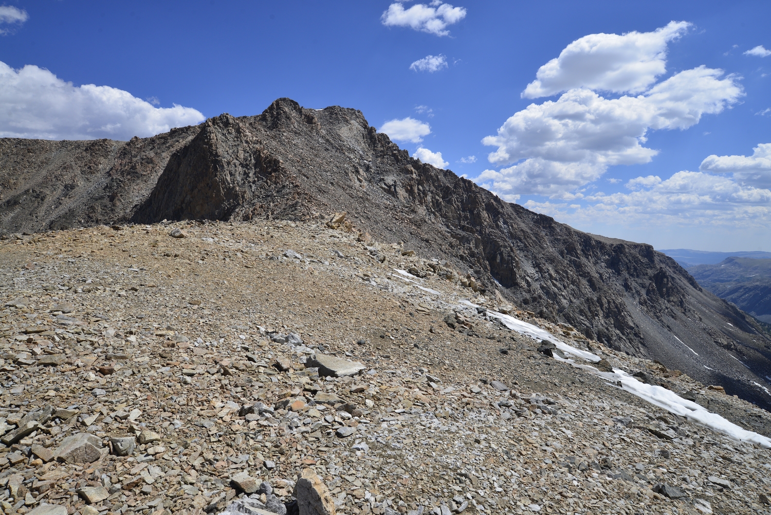
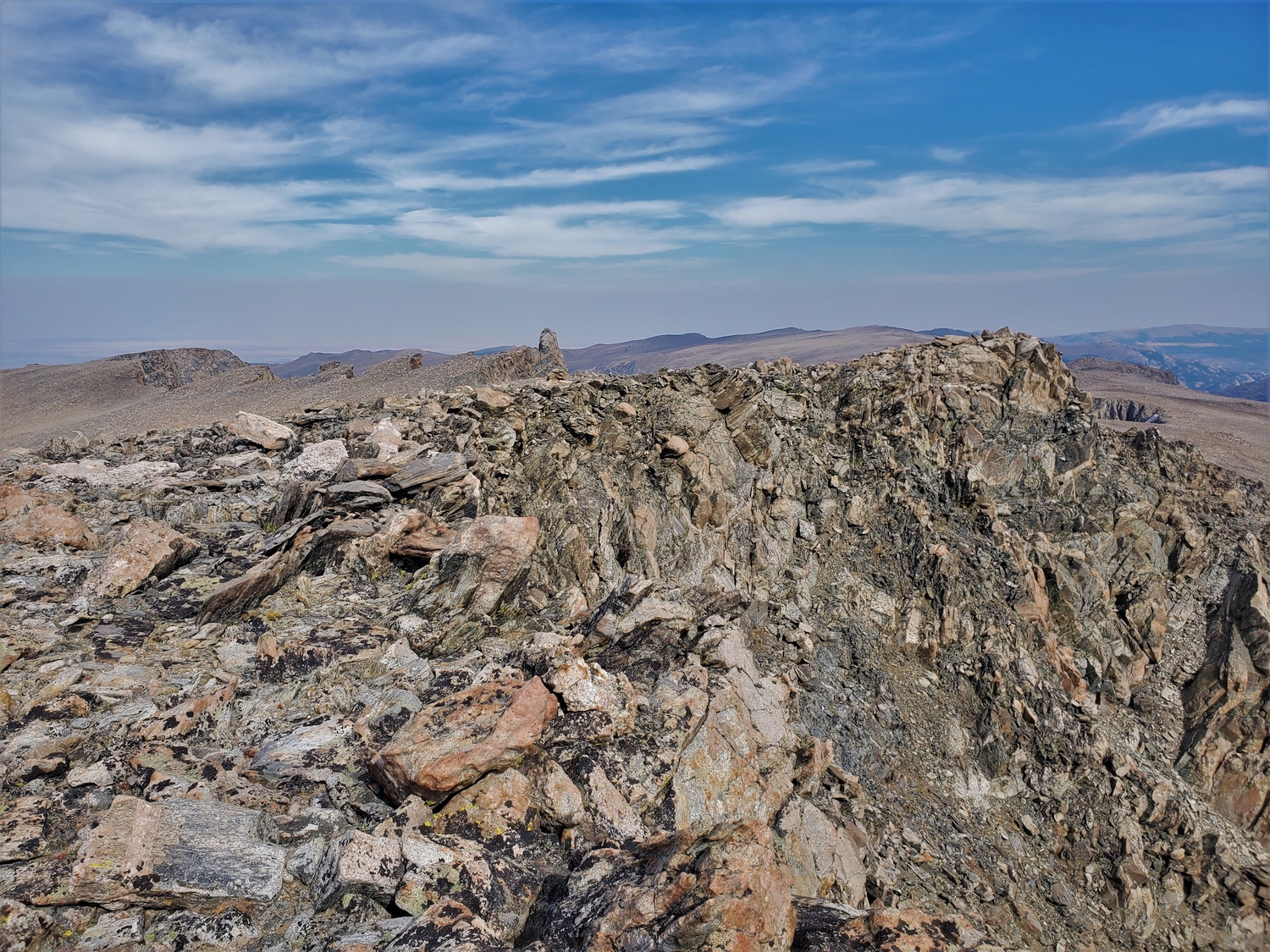
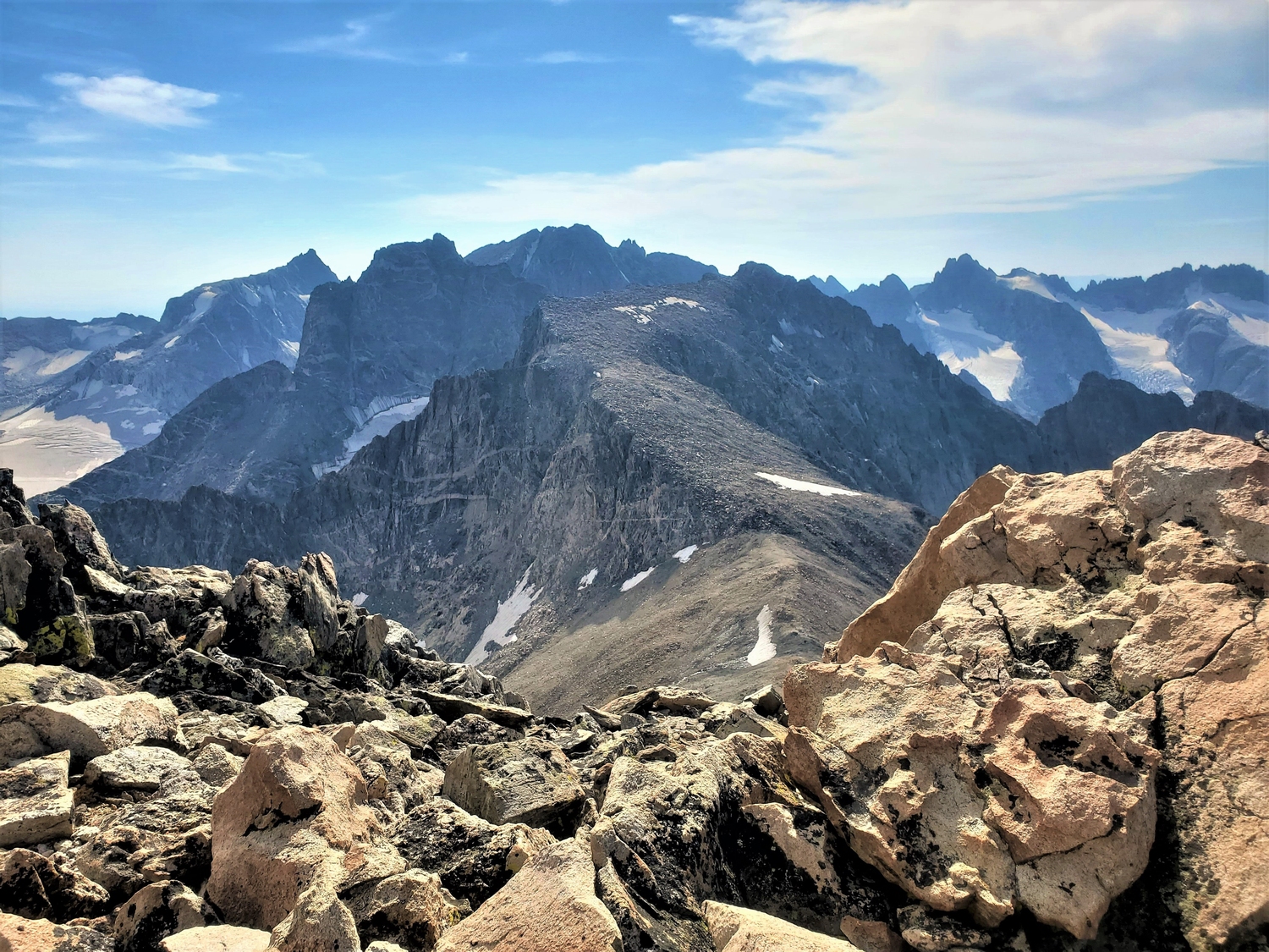
Route 2: Horse Ridge Traverse – Class 2 or Class 3
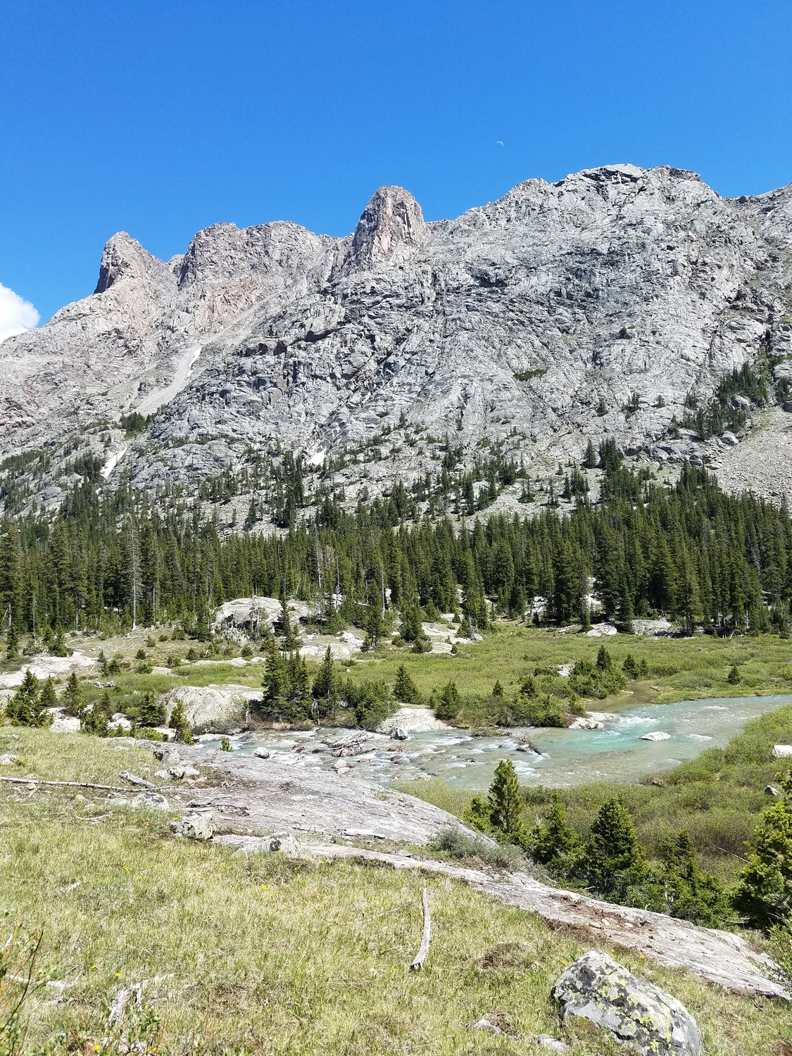
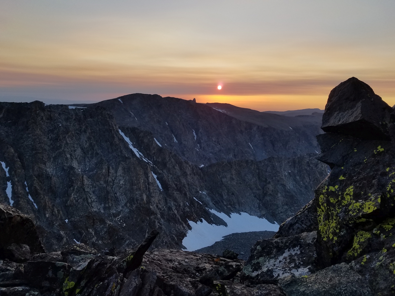
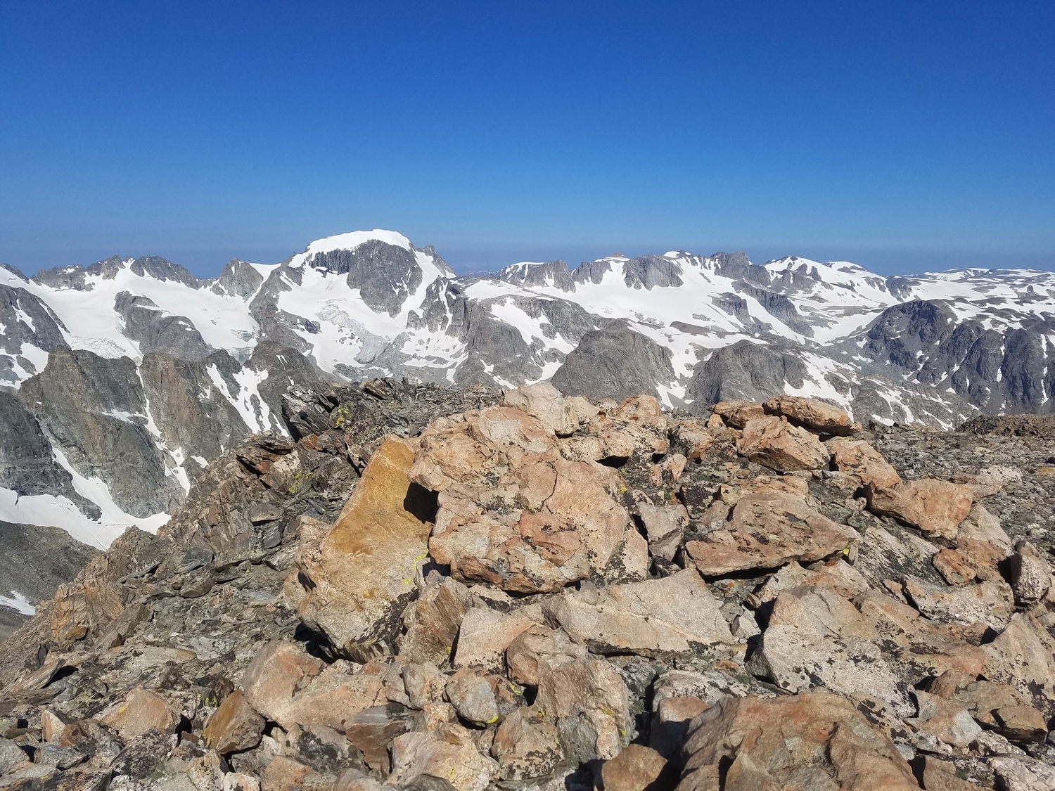
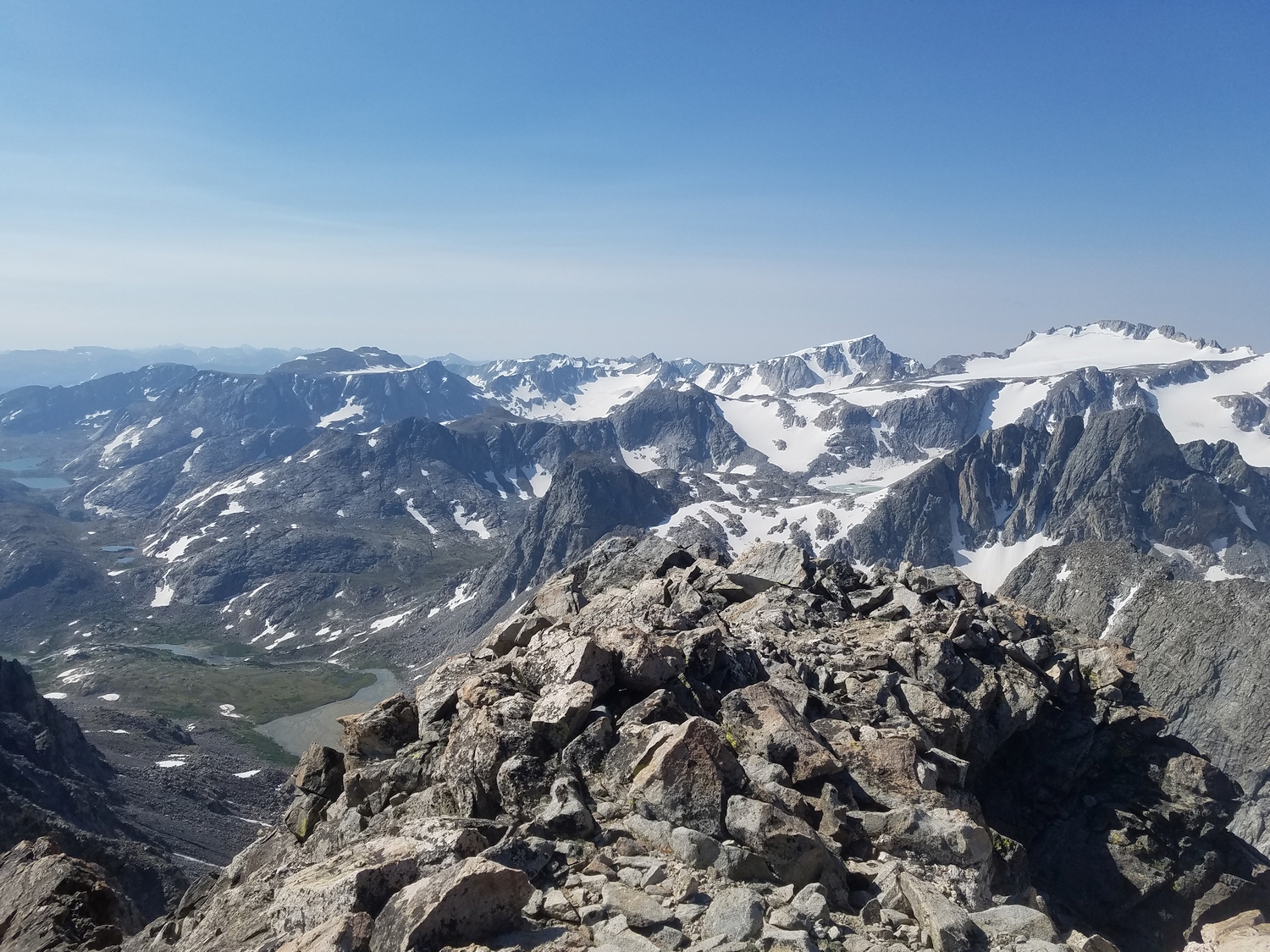
An exceedingly long but entirely class 2 route would follow Horse Ridge all the way from the Ink Wells or even lower. However, the most interesting part of this approach to Febbas is near the end, where Chimney Rock looms on the skyline and Noel Lake (also called Knoll Lake) nestles in a hidden bowl around 12,200 ft.
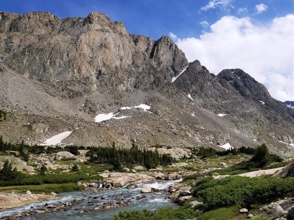
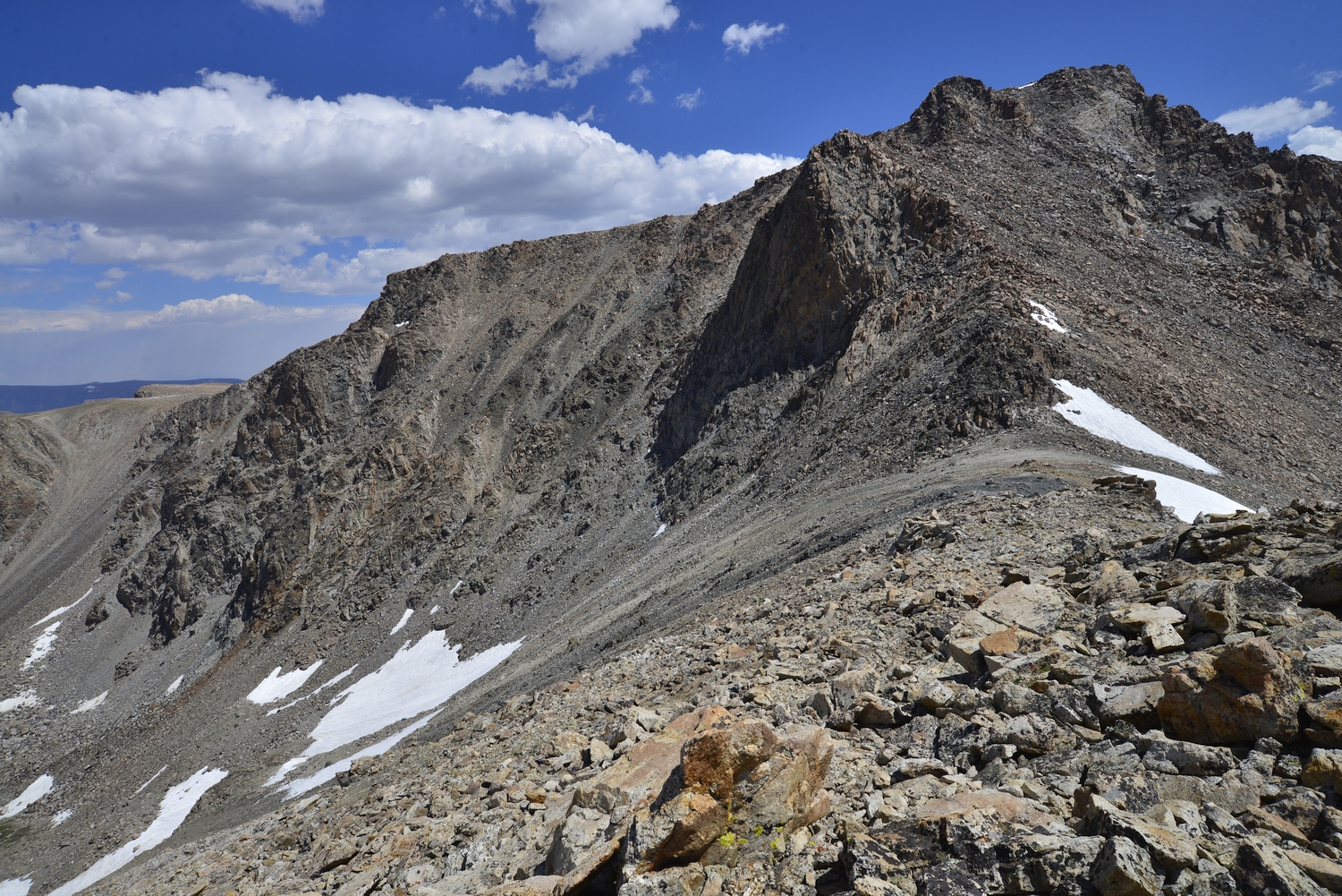
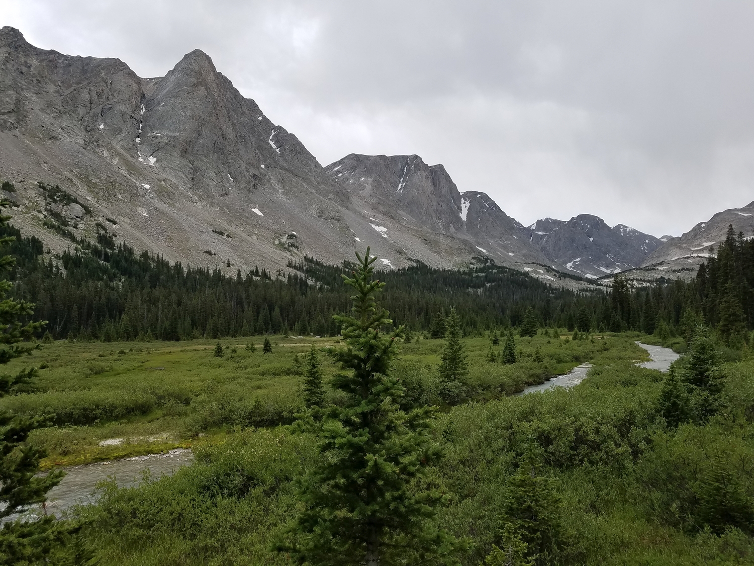
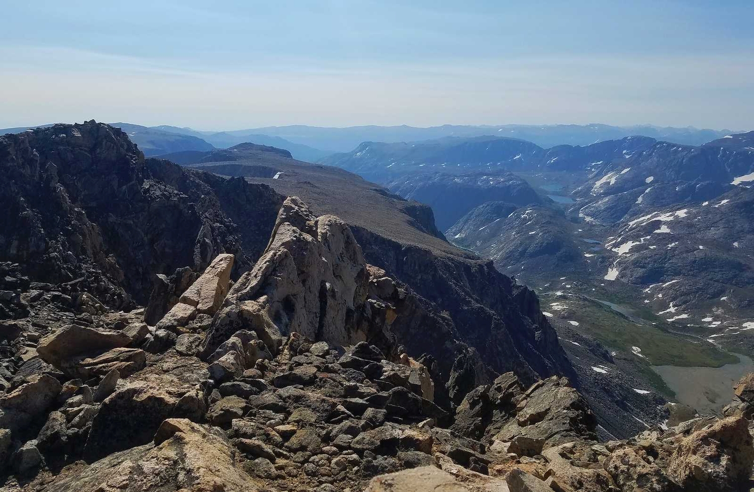
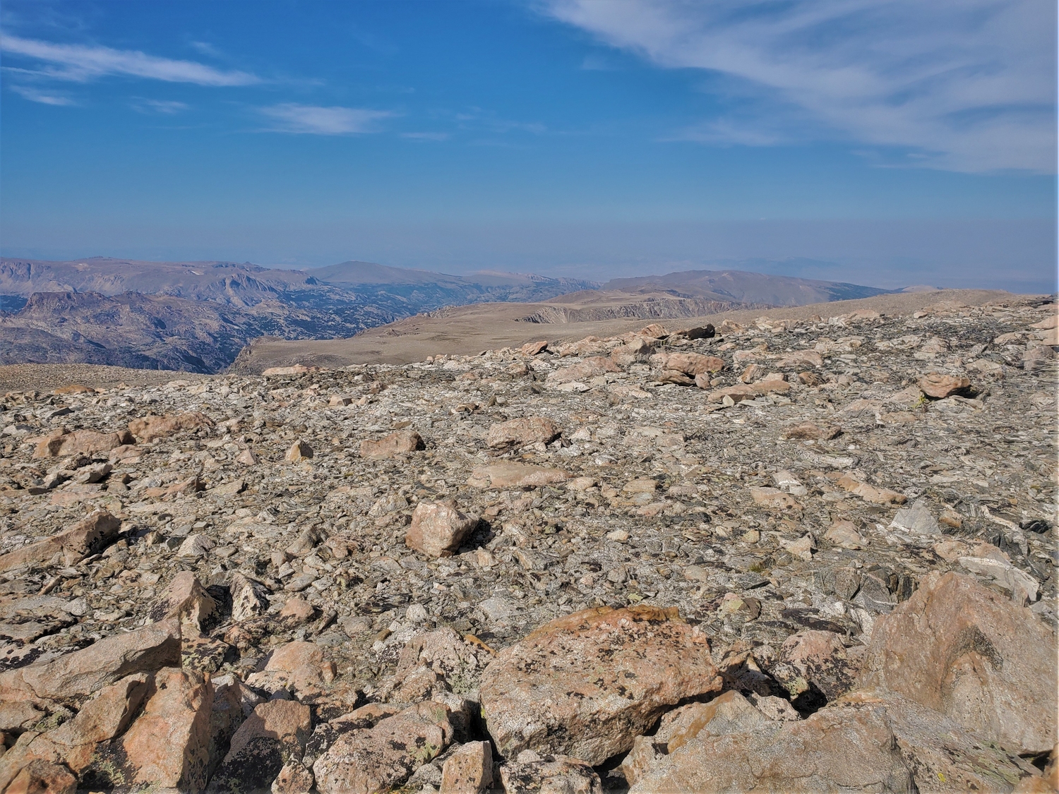
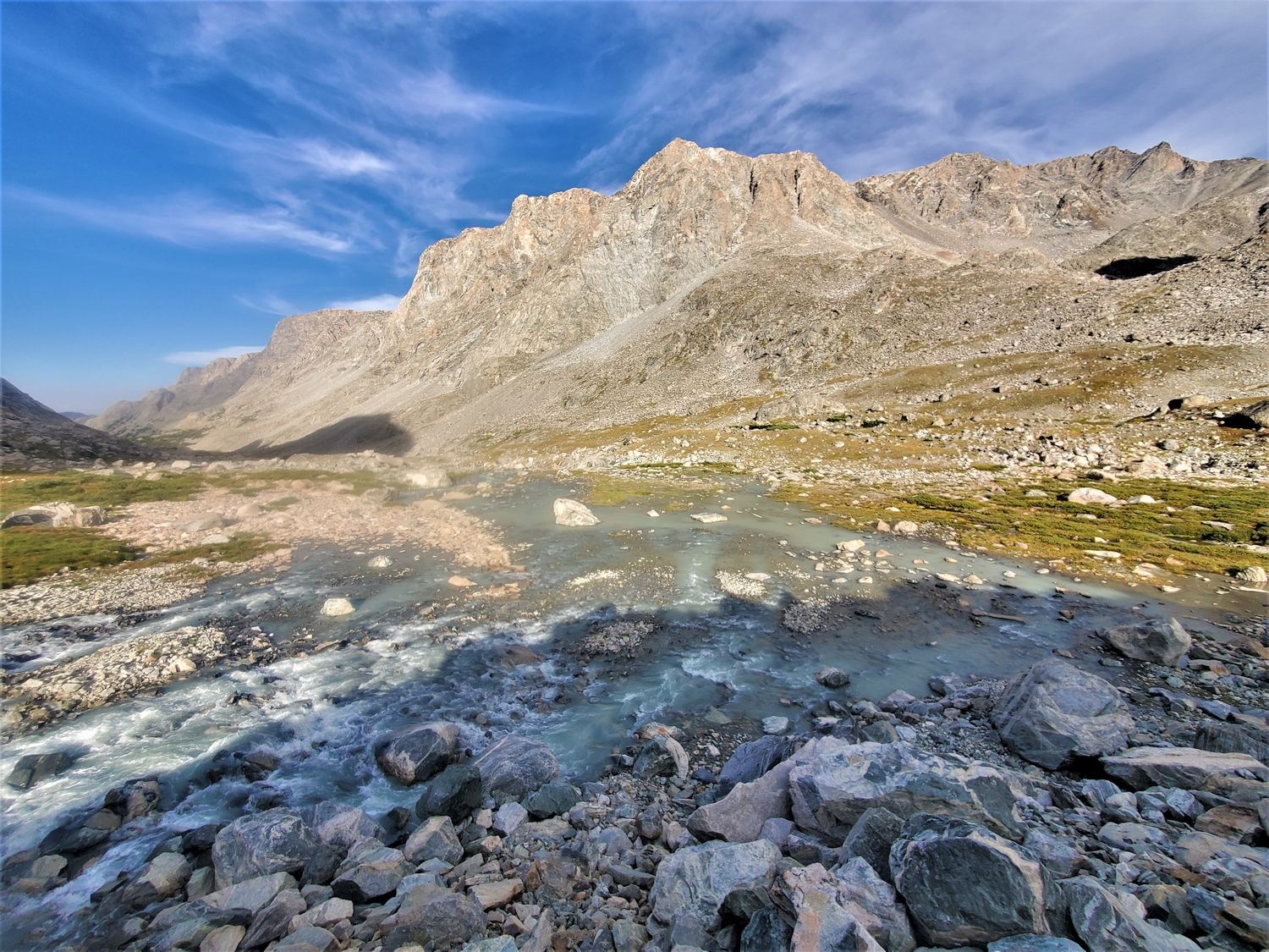
While many variations are possible, the author chose to hike from the summit of Febbas over easy frost-shattered ground to Noel Lake before descending steep boulders in the vicinity of its outlet stream (class 3). Eventually, it is convenient to escape the outlet stream’s steepening defile by traversing slightly south on talus slopes, ultimately reaching and crossing Dinwoody Creek to reconvene with the Glacier Trail. The route could be done equally well in reverse, and combining this approach with the Blaurock Pass route would make for a scenic loop.
Mount Febbas Map
Mount Febbas Photos
-
- Looking back to Blaurock Pass and the southwest slopes of Mount Febbas (ridge on left side of photo) as seen from the Dinwoody (2016)
-
- Horse Ridge dominates the eastern skyline of the Glacier Trail and culminates at the summit of Mount Febbas (2020)
-
- The impressive wall of Horse Ridge and Mount Febbas forms the east wall of the Dinwoody Valley and dominates the view for a long section of the Glacier Trail (2020)
-
- The steep slopes of Febbas hide the summit from most vantage points, including this view from near the end of the Glacier Trail (2020)
-
- Looking up towards Febbas’s southwest slopes route (left) and Blaurock Pass from the head of Dinwoody Valley (2020)
-
- Some evening storms rolled through the Dinwoody as I camped solo at the end of the Glacier Trail the night before climbing Turret, Sunbeam, and Febbas (2020)
-
- Descending to Blaurock Pass from Sunbeam’s summit; the southwest slopes route on Mount Febbas roughly follows the ridge between light and shadow (2020)
-
- A section of Horse Ridge bends east from Febbas and forms a dramatic wall between the North Fork of Bull Lake Creek (right) and Dry Creek (2020)
-
- The vast and desolate expanse of the Horse Ridge peneplain as seen from near the top of Mount Febbas (2020)
-
- The Bull Lake Creek region of the Wyoming 13ers is remote and stunningly rugged; I watched a massive rockslide off Febbas’s southeast slopes into the valley far below (2020)
-
- After descending past Knoll or Noel Lake, I returned to camp in the Dinwoody Valley below Horse Ridge (2020)
-
- Febbas is the dark massif in the center of the photo, seen here from high on an arm of the Dinwoody Glacier the day after my summit climb (2020)
-
- I descend the northeast slopes of Sunbeam to Blaurock Pass, where I drop my pack and dash up Mount Febbas.
-
- Autumn colors tinge the grasses and shrubs in the Helen Glacier outwash plain far below. We backpacked through this area in 2016 as part of our 26-day Wind River Range traverse.
-
- Summit view from Mount Febbas, looking out over the barren expanse of Horse Ridge, a vast plateau more than 10 miles long.
-
- This large cairn marks the high point. The ground is rather flat, but with LiDAR and in-person scouting, I determined that the rocks around the cairn are still the highest natural ground.
-
- Looking back at the peaks I’ve climbed today as I begin my descent of Mount Febbas. Warren, Turret, and Sunbeam blend into one mass of jagged ridges and steep cliffs.
-
- Febbas is only class 2 from Blaurock Pass, but it’s steep and loose, which is rather annoying when you’re trying to move quickly without getting hurt.
-
- Back at Blaurock Pass, I hurry down the Dinwoody side, anxious to get in and out of the lower valley as fast as possible. It’s already 5 p.m., and I’m a long way from camp.
-
- To close my loop and finish the day’s climbing, I need to descend 2,600 ft. into the Dinwoody Valley, then re-ascend 2,300 ft. to Miriam Peak. Here, I near the low point of the loop, around 10,800 ft.
-
- This small tarn is called Elk Lake on some maps. The peaks in the background are Woodrow Wilson (left) and Pinnacle Ridge (right).
-
- This view shows the whole of Mount Febbas, from Horse Ridge on the east side of Dinwoody Valley to Blaurock Pass on the far right. The summit isn’t quite visible, but it’s near the right edge.
DISCLAIMER: Mountain climbing is dangerous. Activities described on this page may lead to serious injury, death, and property damage. This webpage is presented with no warranty express or implied. Pictures and text are for entertainment purposes only. No commercial use allowed; all rights reserved.