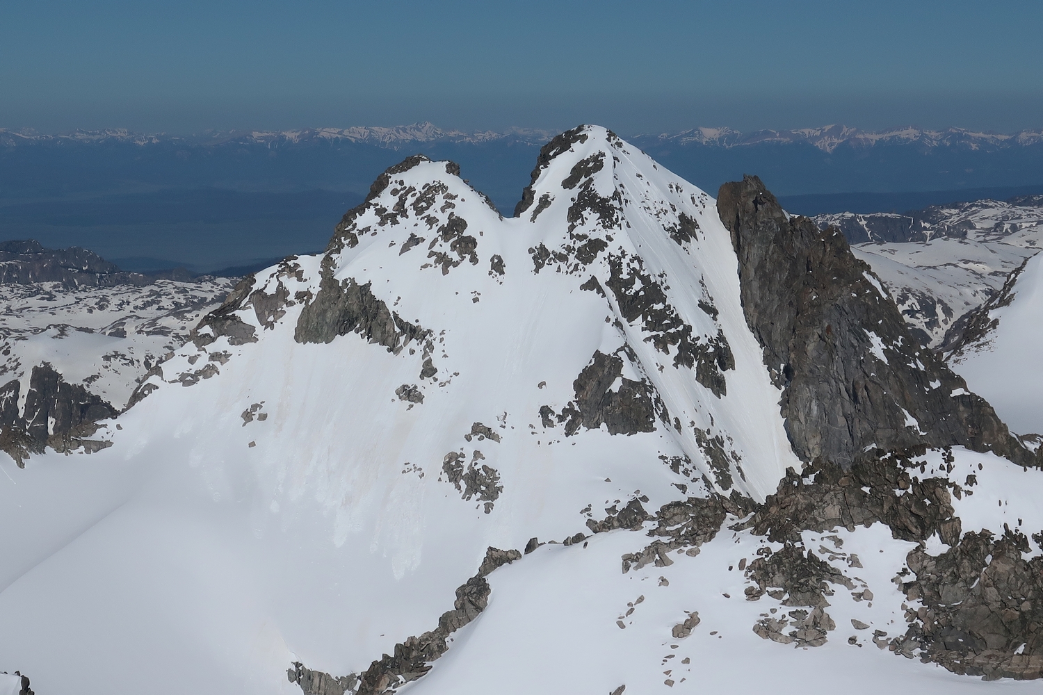
Like nearly every other 13er in this region, Split Mountain is well-named; the large cleft in its upper ramparts can be seen readily from points to the northeast or southwest. Despite its out-of-the-way location, Split Mountain is one of the easiest Wyoming 13ers in the northern Wind River Range.
General Considerations
Hikers on the popular off-trail route from Peak Lake to Titcomb Basin (or vice versa) over Knapsack Col could consider taking a side-trip to Split Mountain. Split is the easiest major summit in the Green River-Titcomb region, and the view from the top is quite rewarding.
Route 1: West Slopes – Class 2
Most climbers will approach this route from the Peak Lake Valley, which itself can be reached by the Shannon Pass Trail (from Green River Lakes or points south) or Knapsack Col (a popular backpacking route from Titcomb). From the basin north of Lake 10740, climb north toward the Whitecap-Split ridge, aiming for Split Mountain Pass, which is the broad saddle east of Point 12845 (also called G4).
A short scree gully provides passage through the final steep part of the ridge to gain Split Mountain Pass. This broad talus saddle can also be reached by climbing moderate snow slopes from the Mammoth Glacier (crevassed), enabling link-ups with other climbs such as the northwest slopes route on the Twin Peaks or an approach from Scott Lake. From Split Mountain Pass, the west slopes loom directly above; simply clamber up the moderately angled talus field to the top.
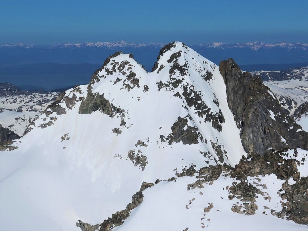
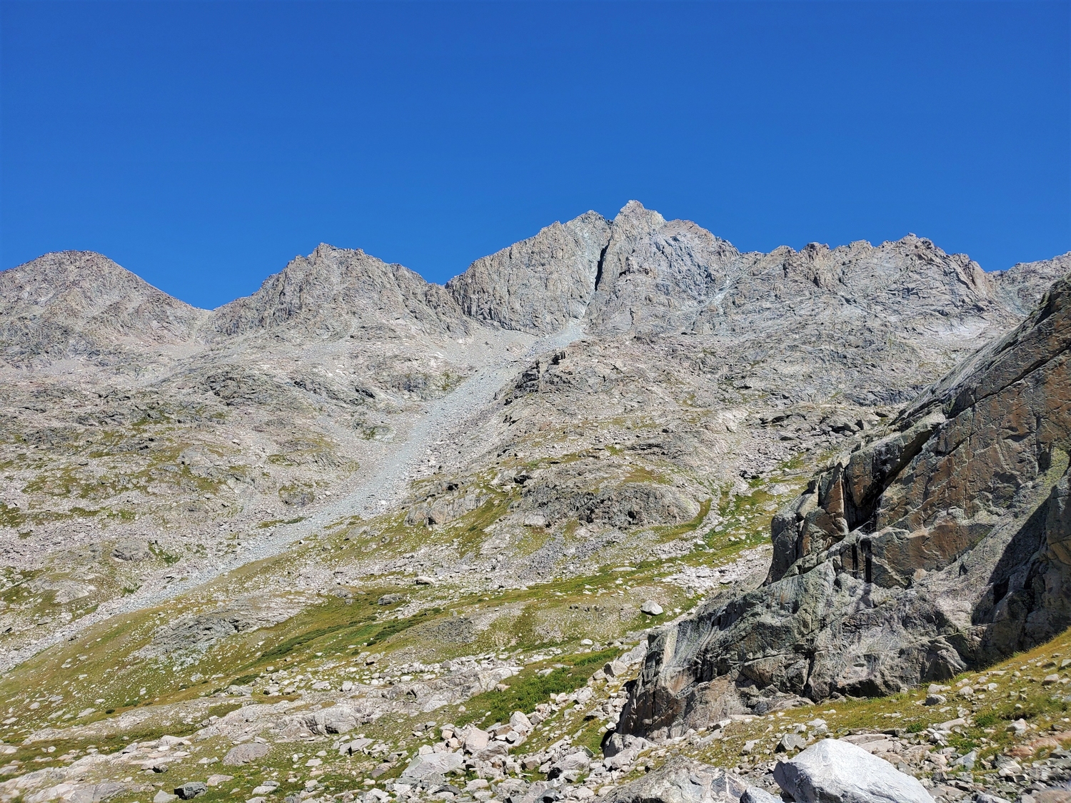
Split Mountain, one of the easiest Wyoming 13ers, offers a class 2 summit route via the west slopes (right side), seen here in a telephoto view from Flagstone Peak (2019)
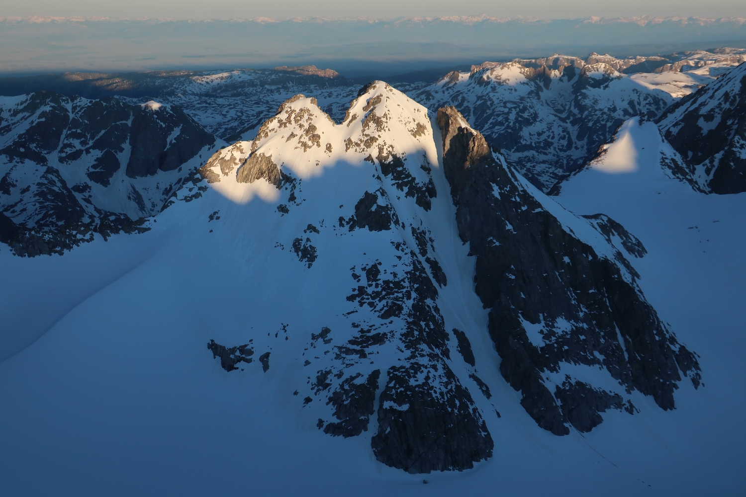
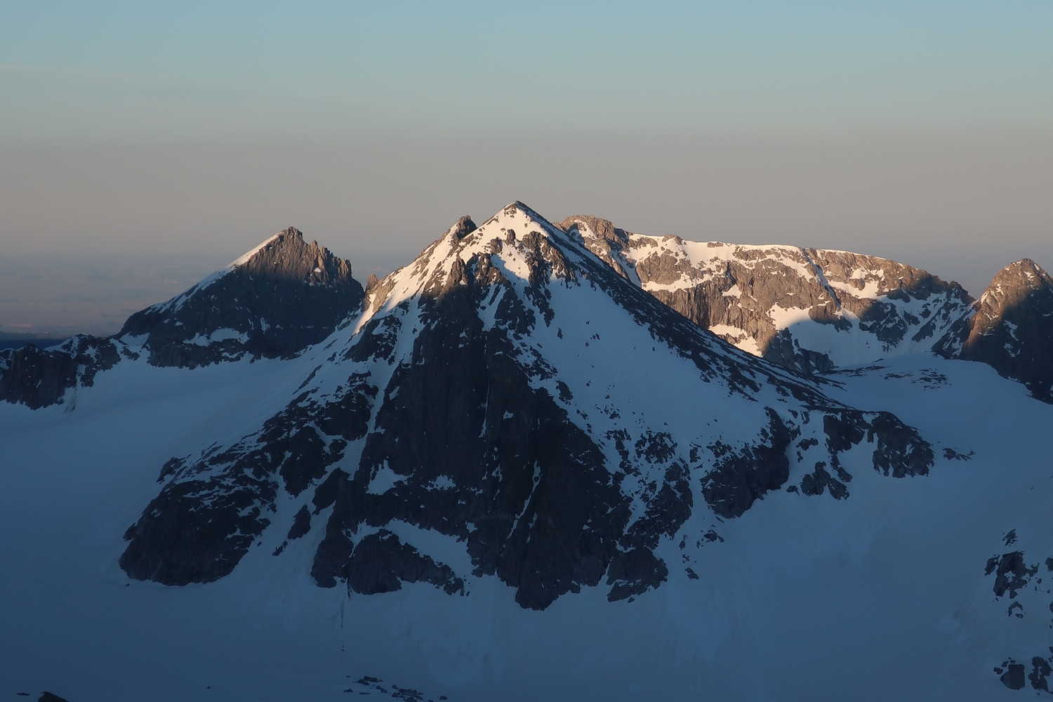
Early morning light graces the split-summits of Split Mountain, as seen from Woodrow Wilson (2020)
Snowclad east face of Split Mountain in June, as seen from the Sphinx, showing the namesake split (2020)
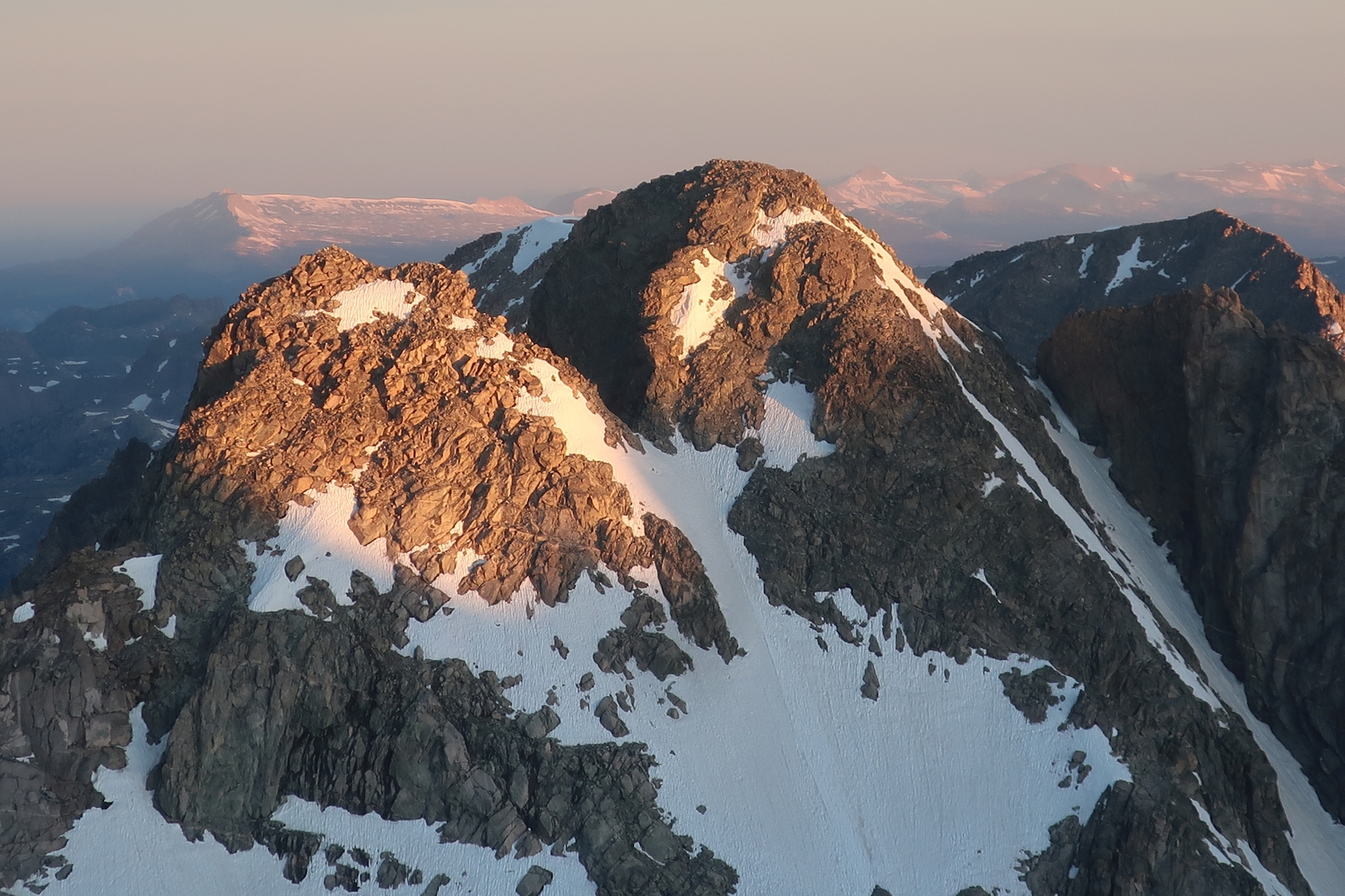
Closeup of the north aspect of Split Mountain, as seen from Mount Koven (2020)
Sunrise on the summit of Split, as seen from the Twin Peaks (2020)
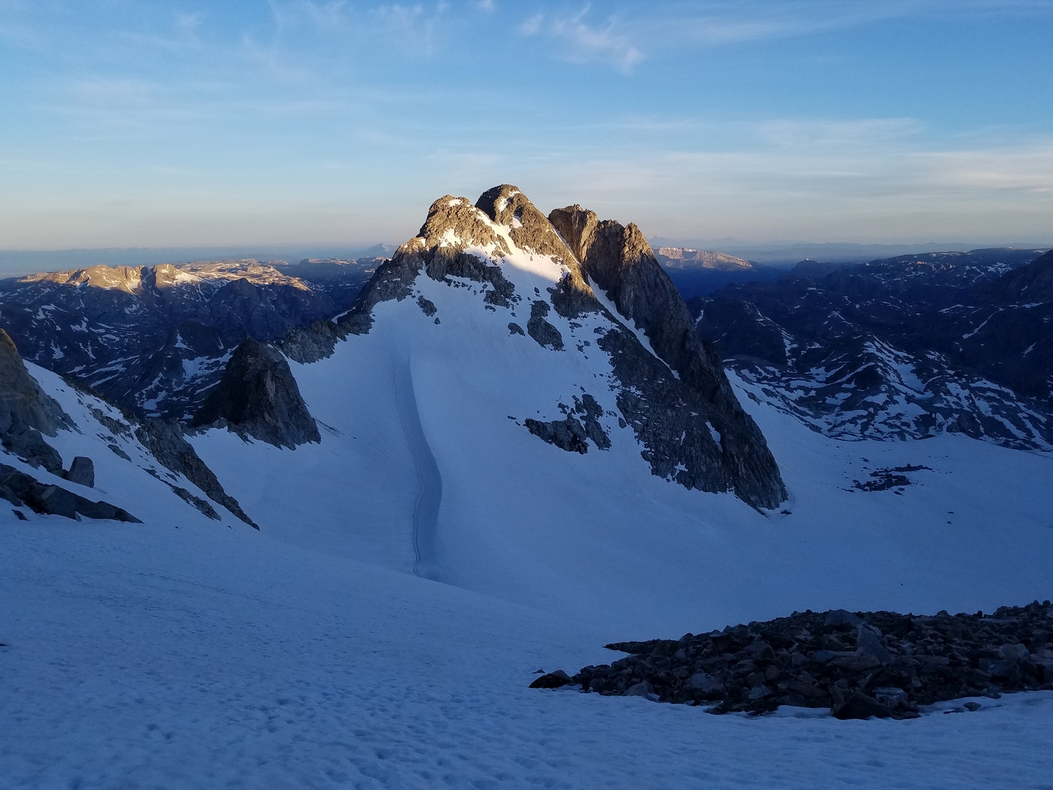
Split’s south and east sides rise above the Mammoth Glacier (2020)
Looking up the steep southeast face (2020)
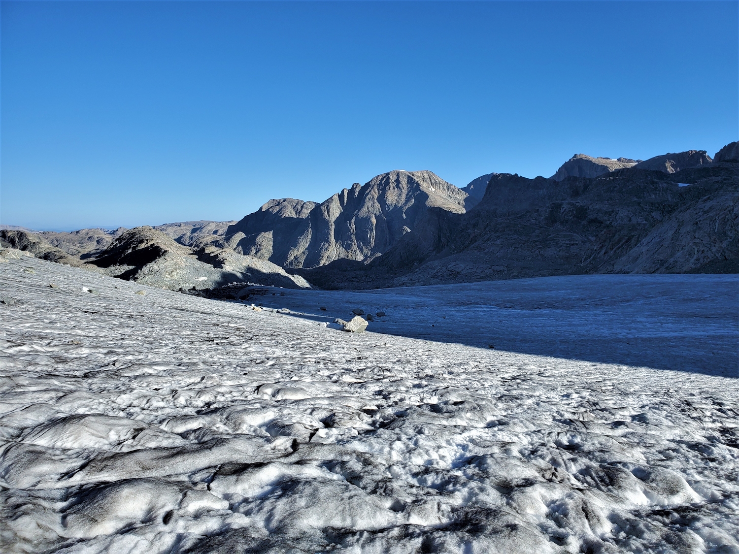
Hiking along the low-angled but crevassed Mammoth Glacier (2020)
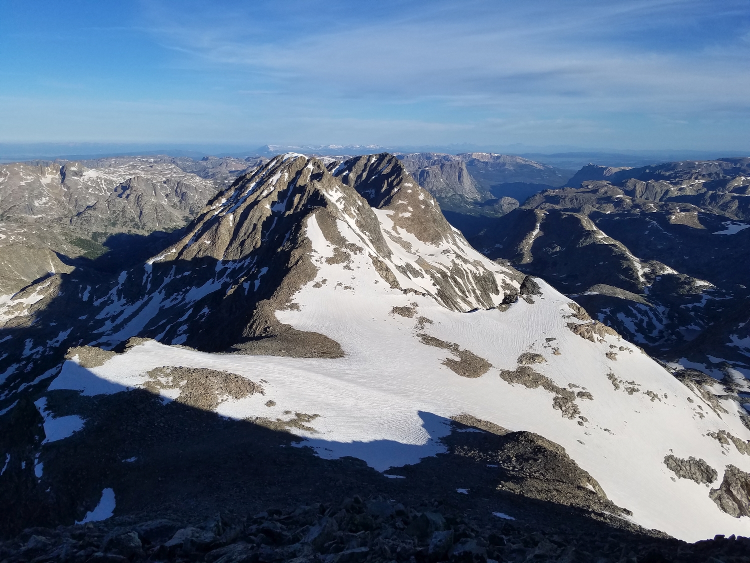
View of the Woodrow Wilson-Twin Peaks ridge above the Mammoth Glacier (2020)
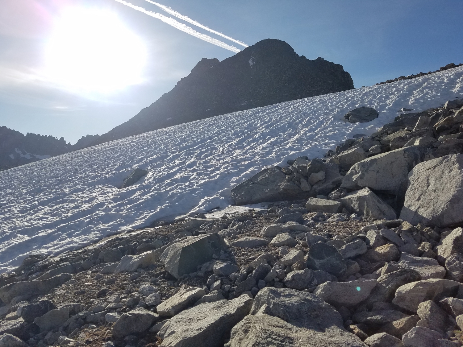
Snowclimb to reach Split Mountain Pass, with Gannett’s west face in the distance (2020)
Breaking into the sunlight on Split Mountain Pass, with the 12er called G4 prominent on the horizon (2020)
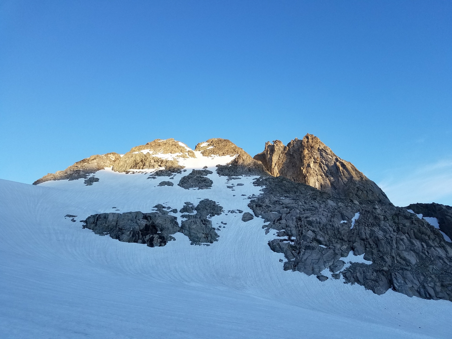
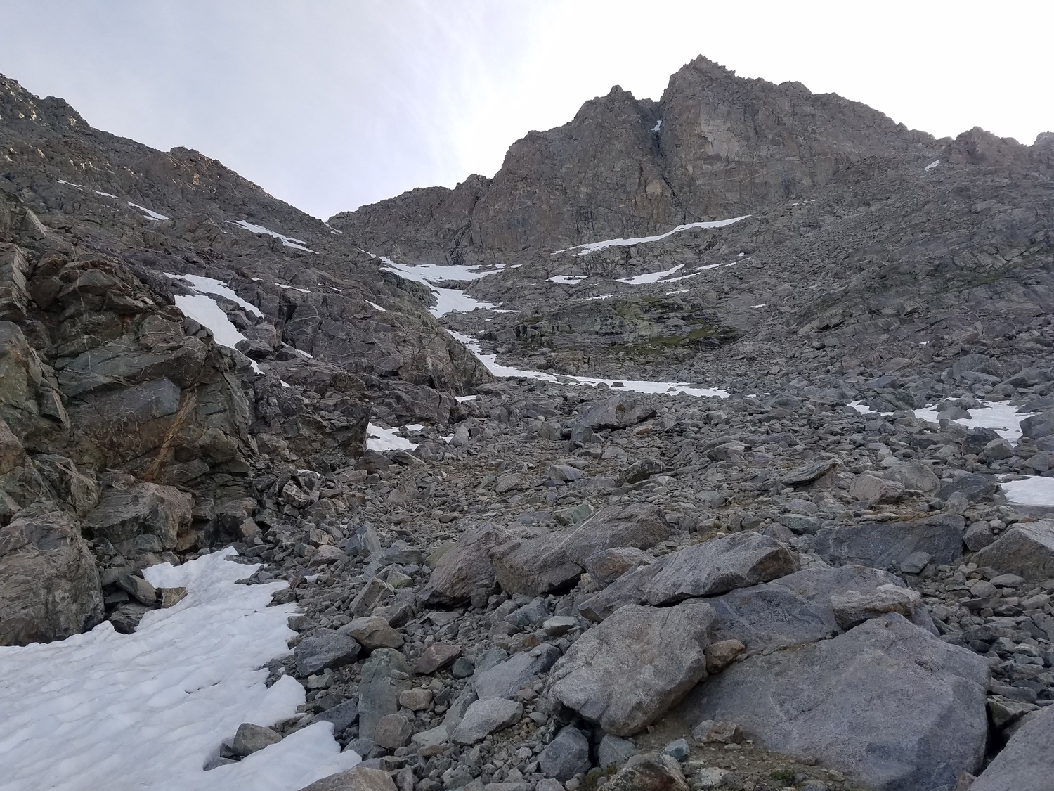
Split Mountain’s talus-clad west slopes above the pass (2020)
Nearing the summit (2020)
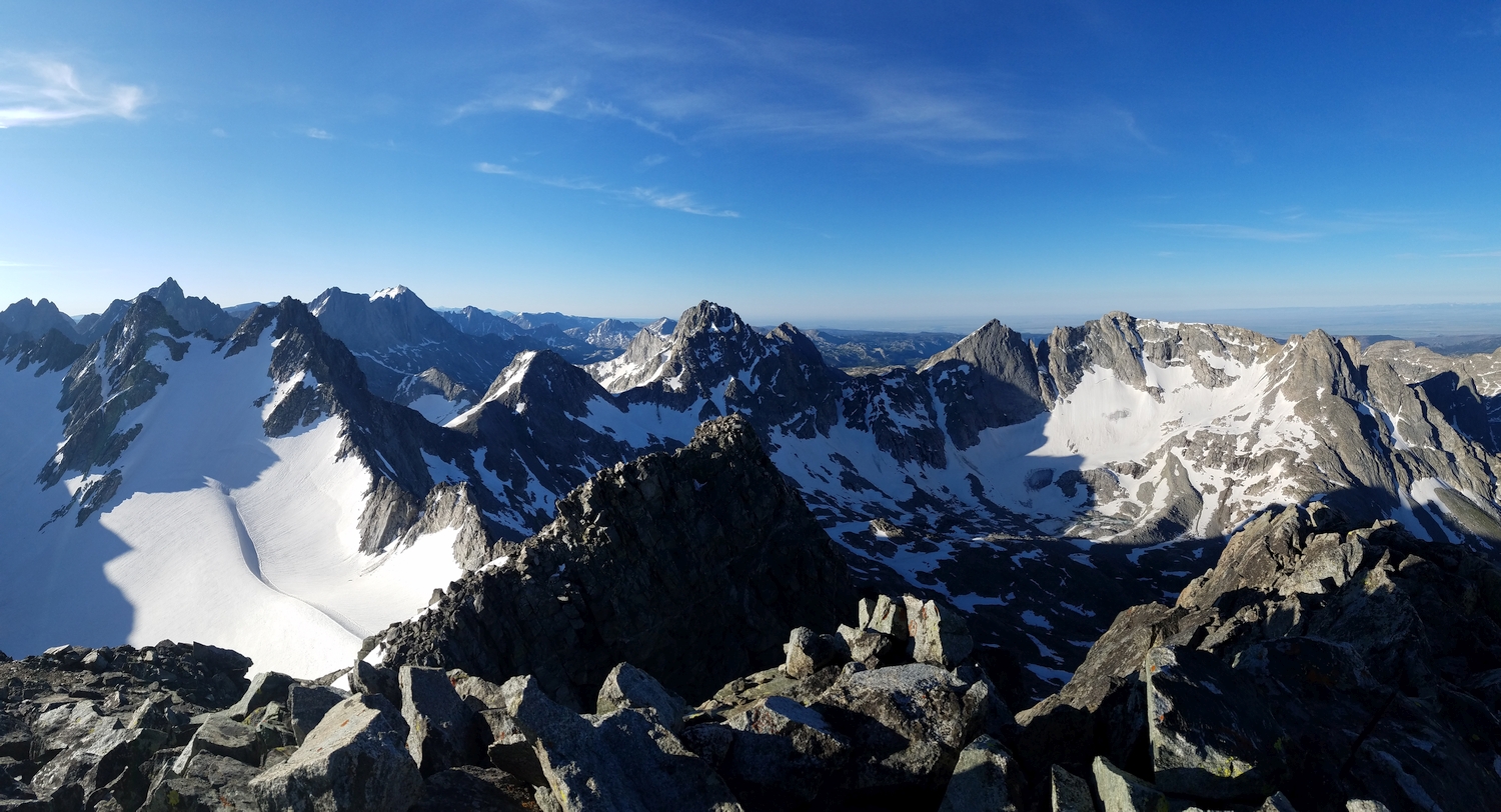
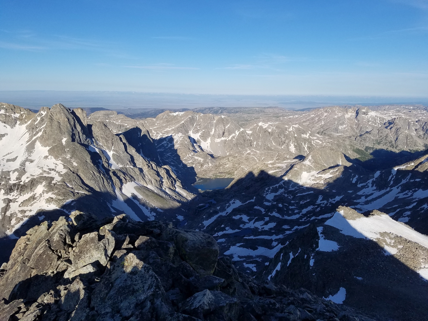
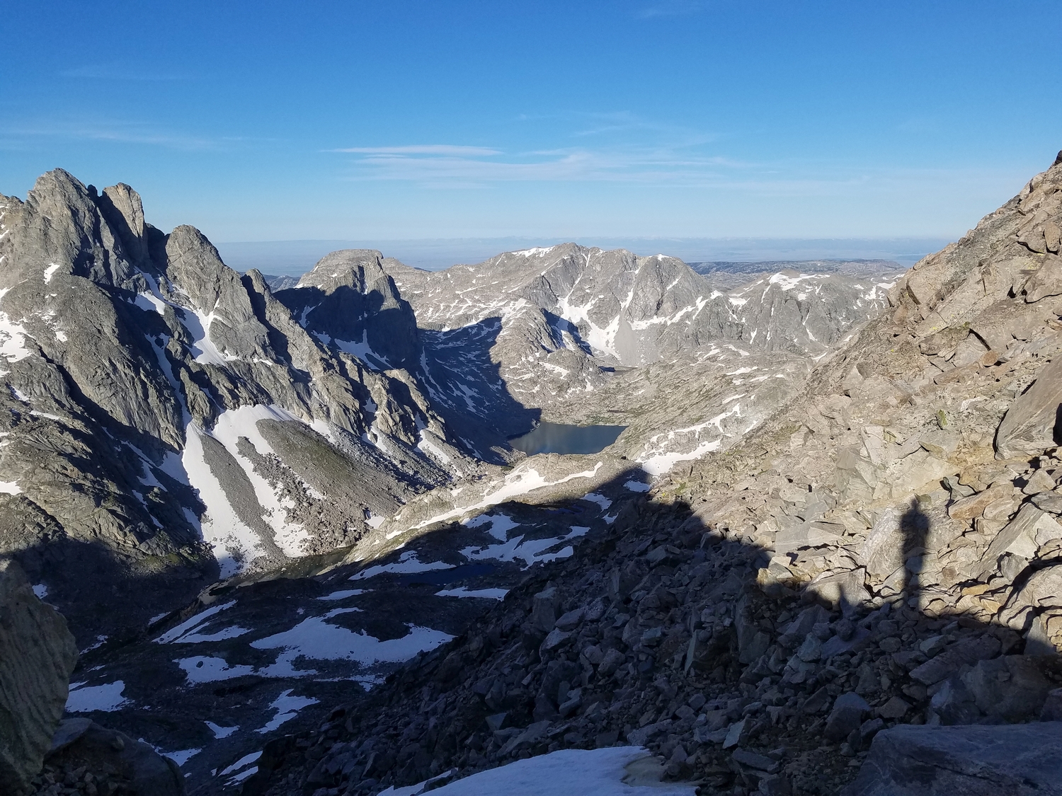
Summit of Split Mountain, looking south across the Peak Lake valley (2020)
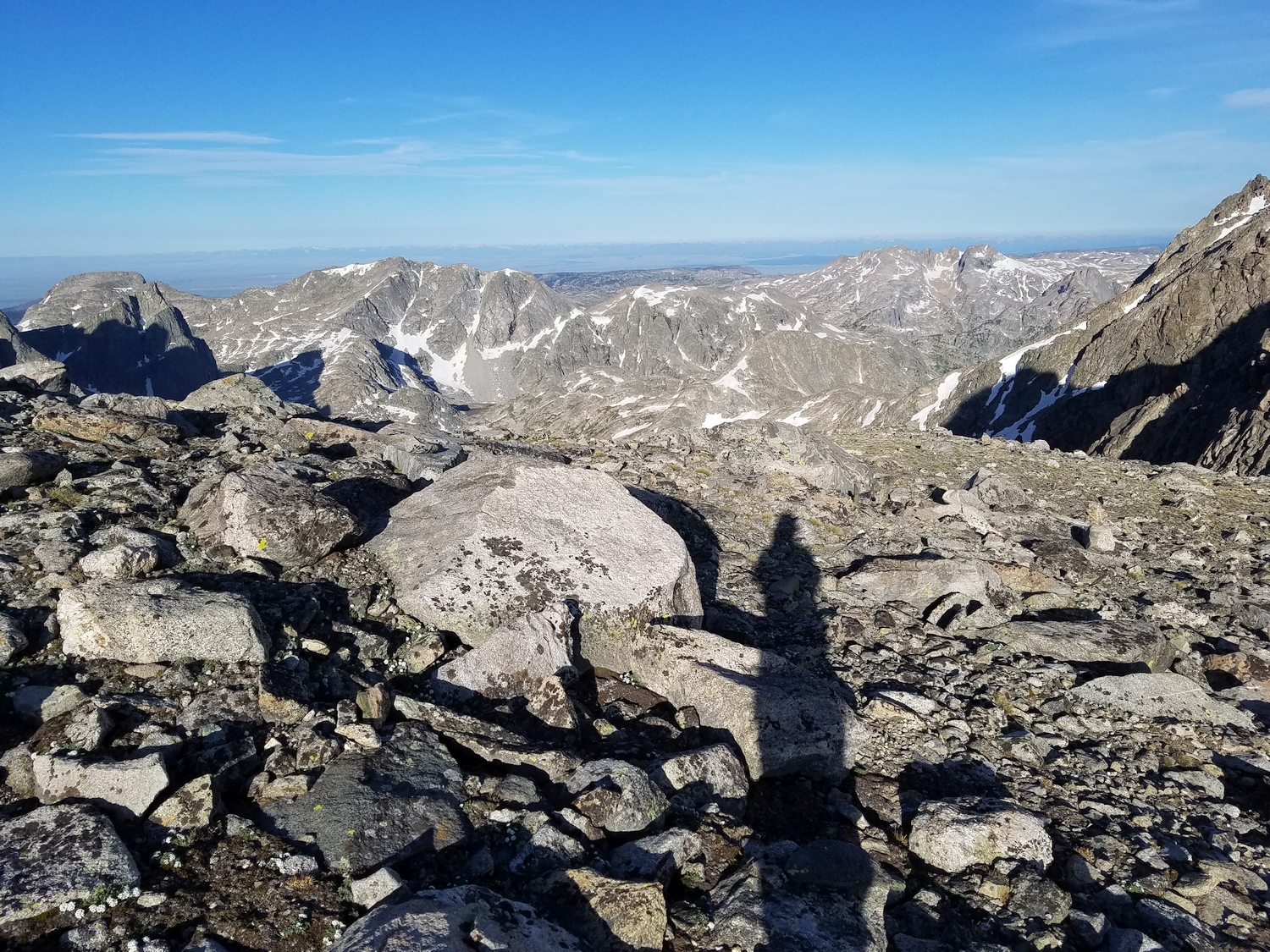
View southeast to Knapsack Col and several 13ers (2020)
Looking west across Split Mountain Pass, G4 partially obscures the view of Mount Whitecap (2020)
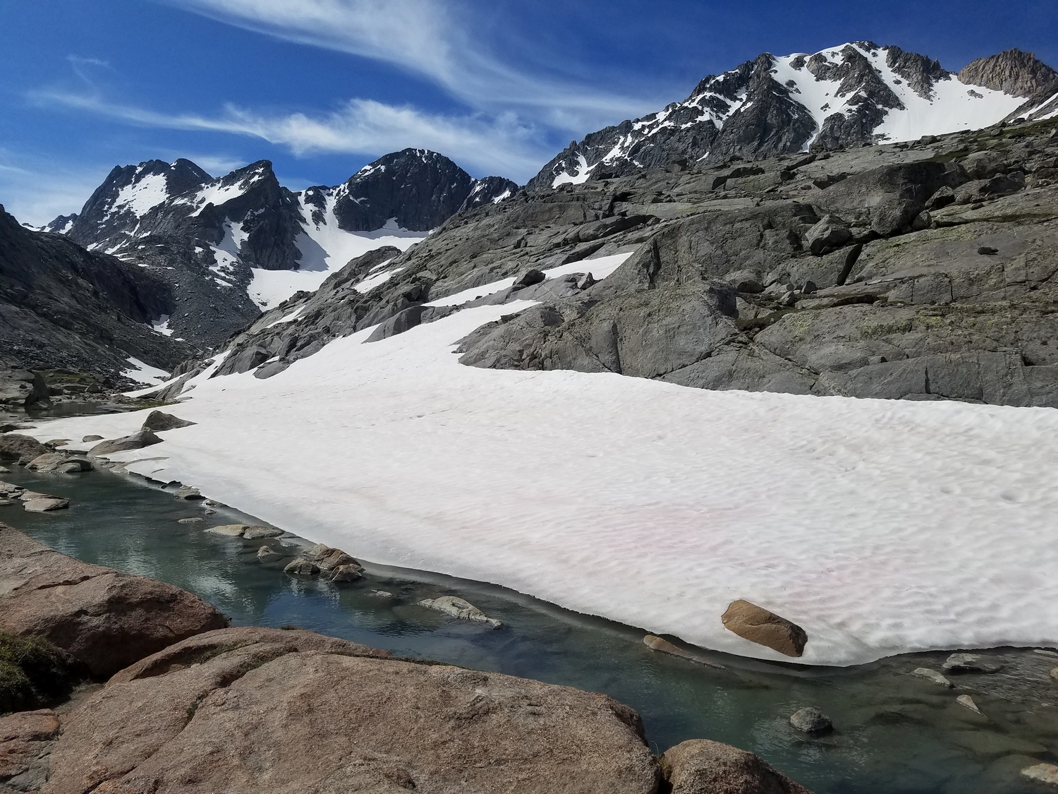
Peak Lake (distant, center) as seen from Split Mountain Pass (2020)
Shadowed western profile of Split Mountain above the pass (2020)
Split Mountain Pass (2020)
Descending a gully on the south side of the pass (2020)
Descending into the Peak Lake valley from Split Mountain Pass (2020)
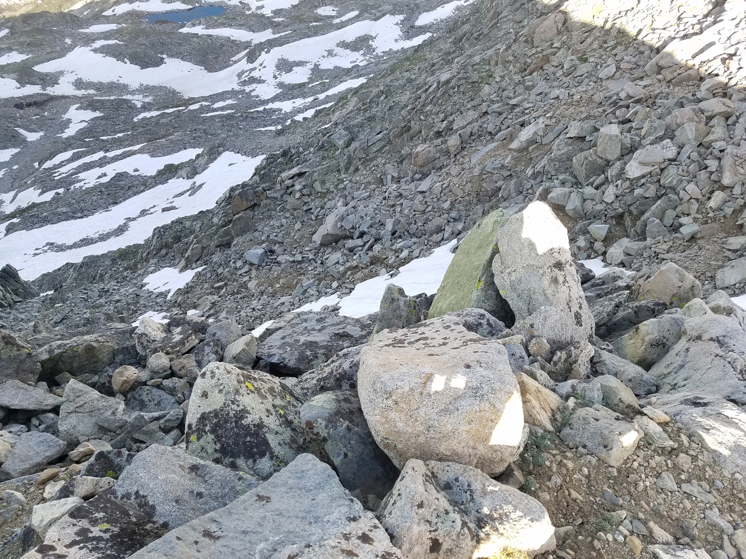
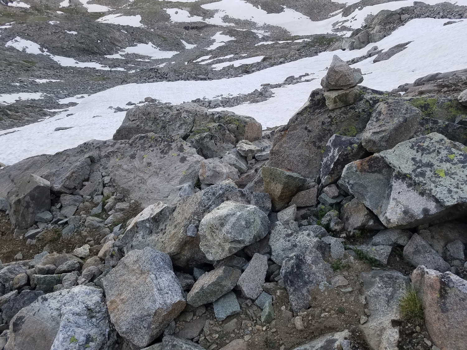
Loose rocky terrain on Split Mountain Pass (2020)
Looking back up at the dramatic south face of Split Mountain (2020)
Split Mountain (far left) and G4 (12er) above the Baby Glacier as seen from the upper Lost Pipe Lakes valley (2020)
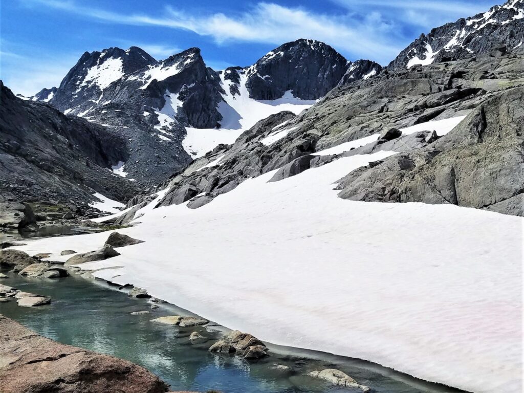
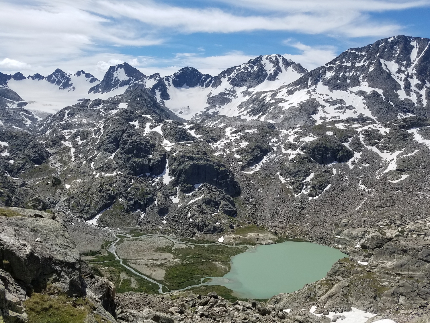
Looking across Scott Lake and the Wells Creek cirque to Split Mountain (left of center) and the other peaks on the high ridge extending westward from Titcomb into the Green River region (2020)
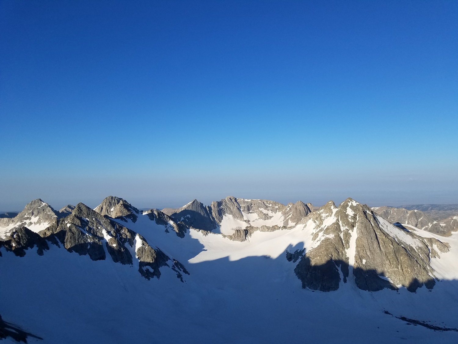
Morning view of the upper Mammoth Glacier, with Split Mountain on the right, as seen from Pinnacle Ridge (2020)
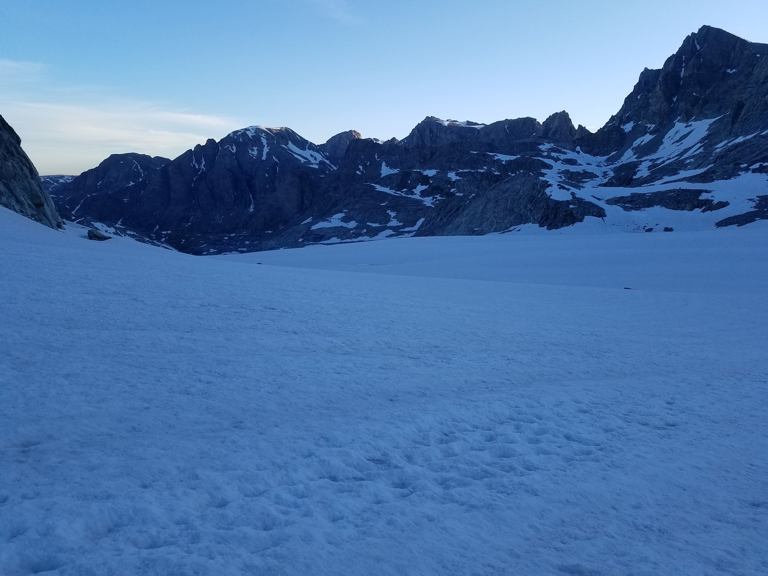
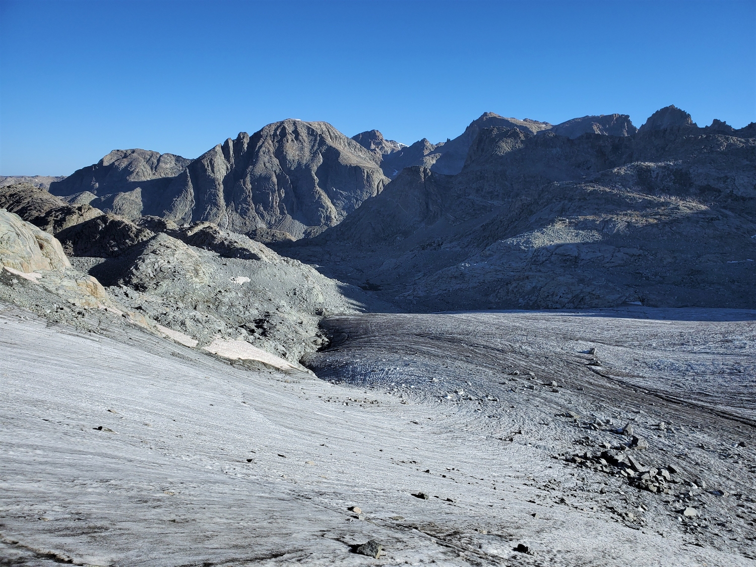
From the saddle between the East and West Twins, I can see across the Mammoth Glacier to Split Mountain, my next target.
Split Mountain as seen from the Mammoth Glacier. Note the small crevasse in the foreground, one of many in this area.
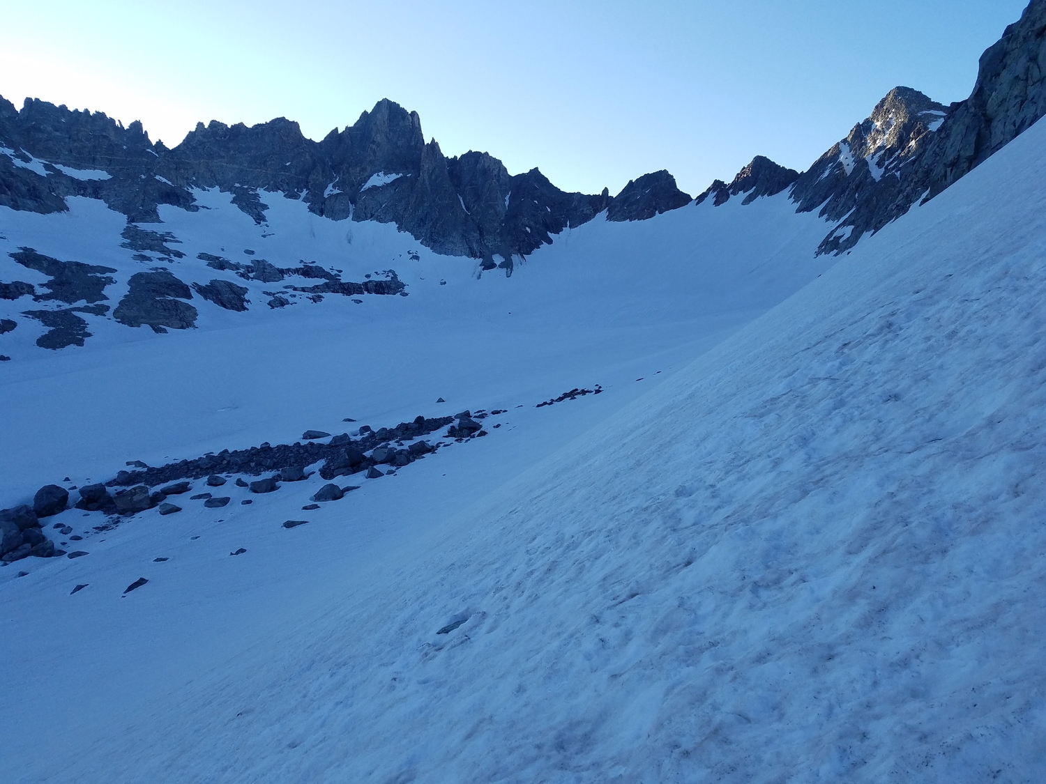
The lower Mammoth Glacier is easy walking, which is why it makes such a tempting route. Here, Desolation Peak is visible in the distance.
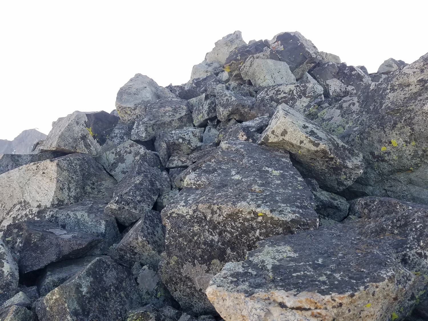
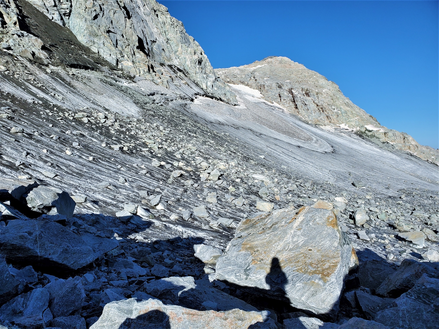
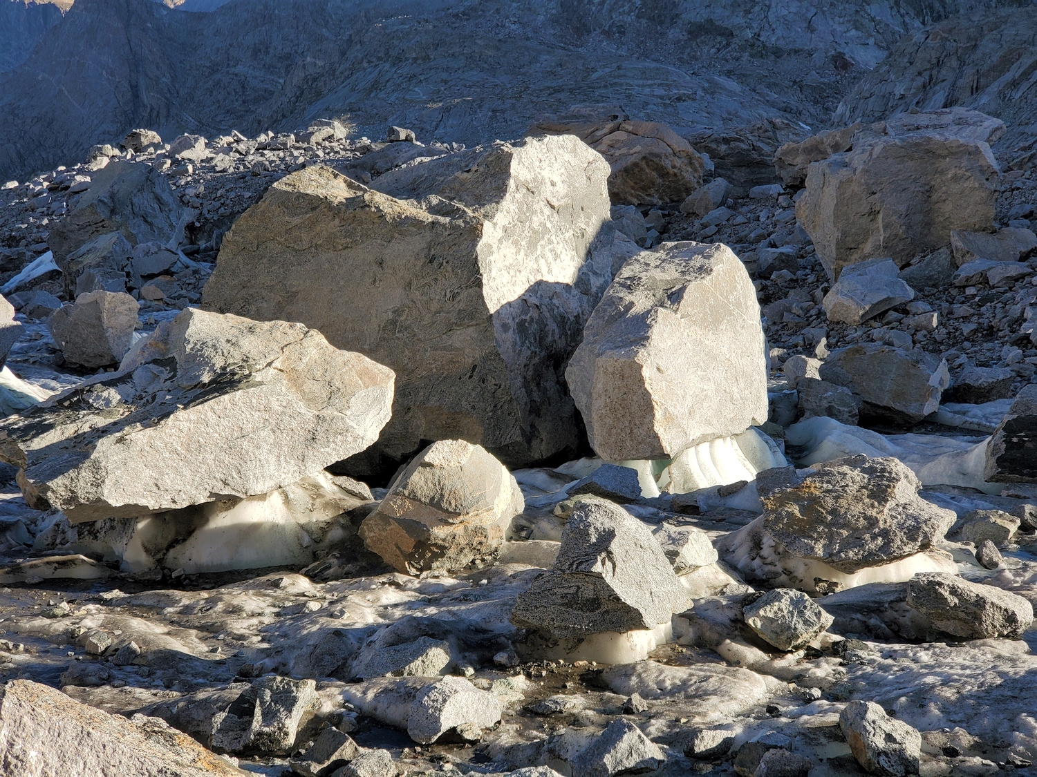
I wonder why there are so many rocks on this section of the glacier? Oh. Huh. Interesting…
It’s interesting that many of the larger rocks end up sitting on pedestals of ice. I would expect the ice to melt faster due to the thermal mass of the rocks, but perhaps the rocks shade the ice under them enough to slow down the process of melting?
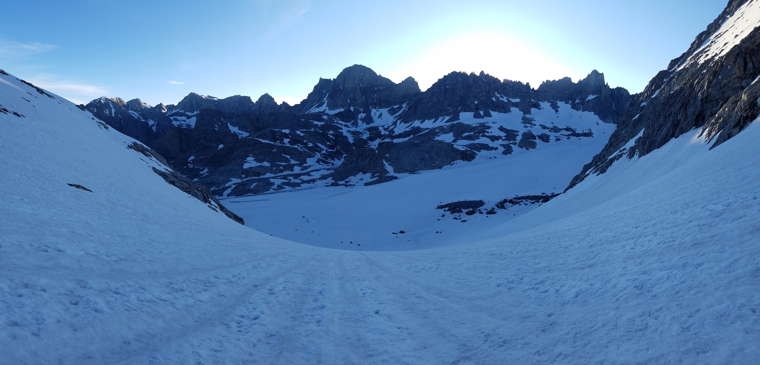
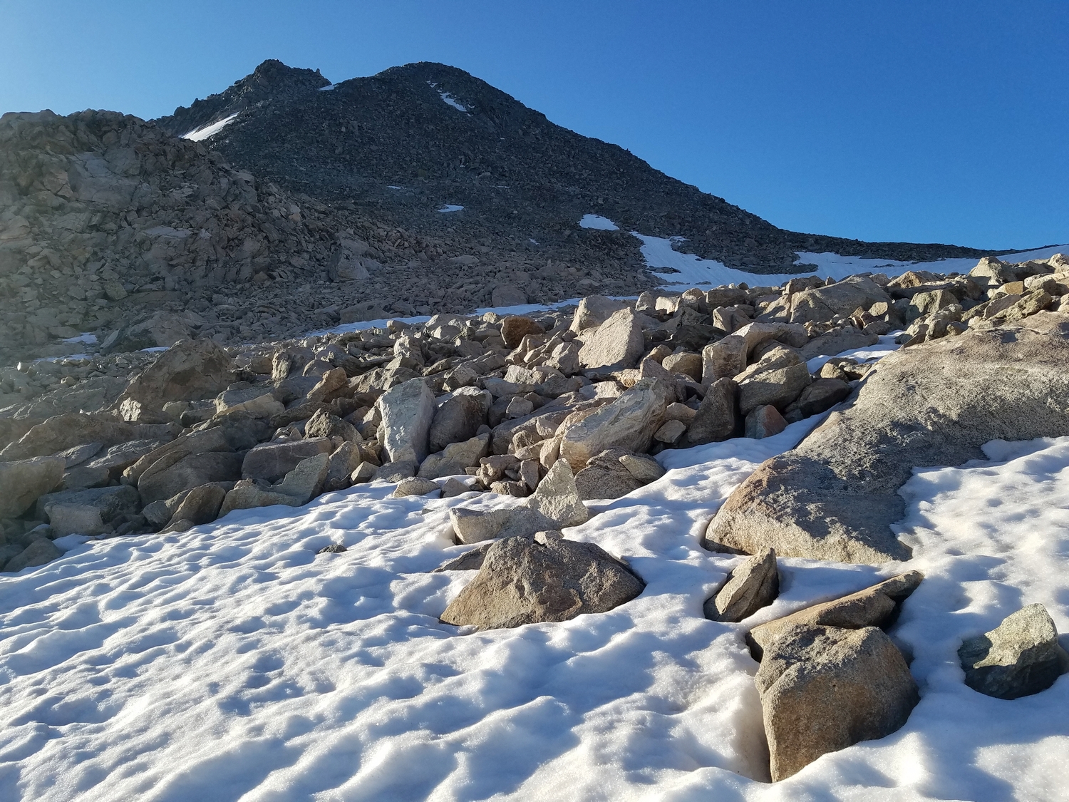
Looking back over the Mammoth Glacier as I climb the north side of Split Mountain Pass.
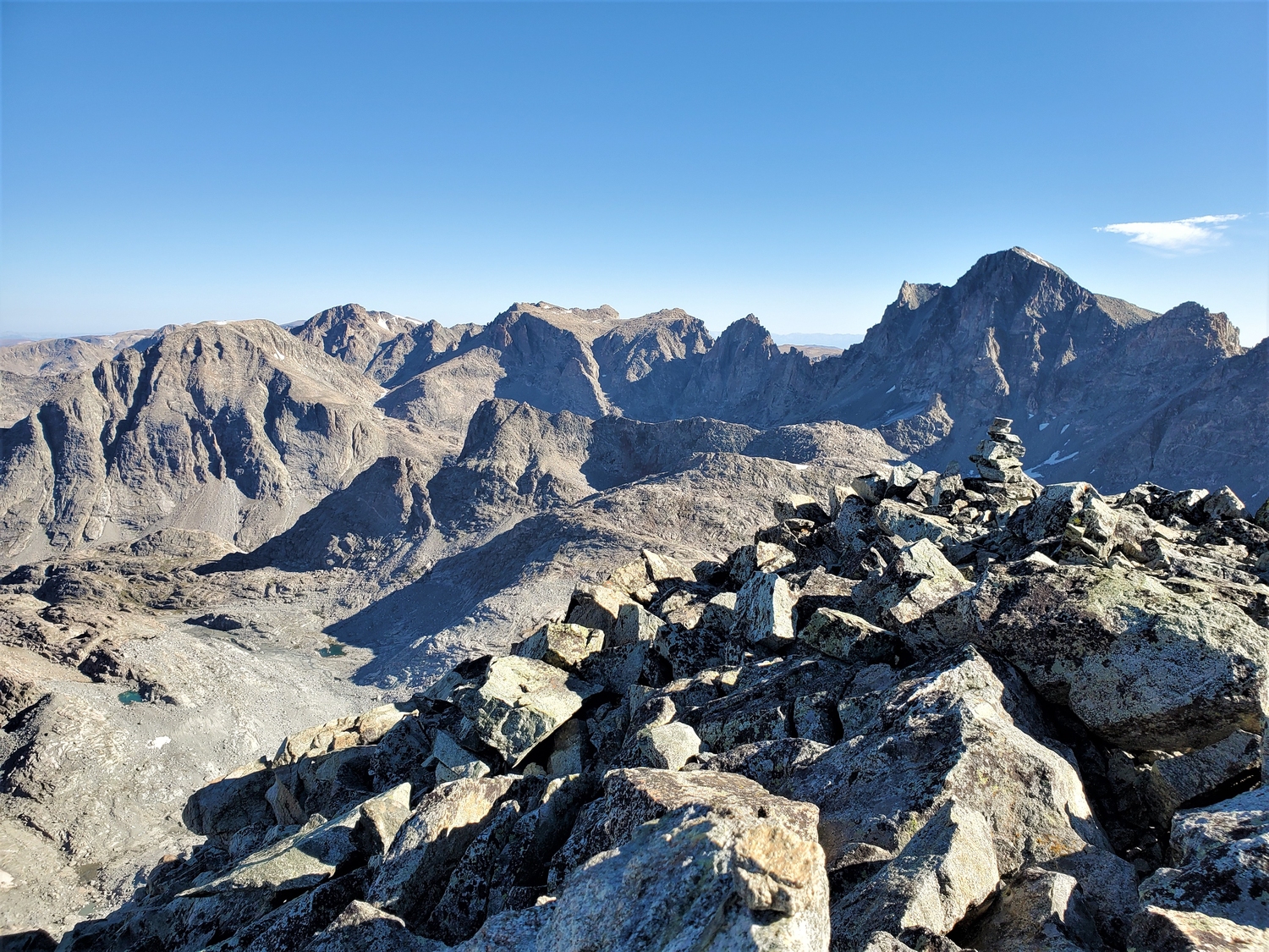
On the summit of Split Mountain. It’s a definite outlier in this area–the peaks visible all around are much harder.
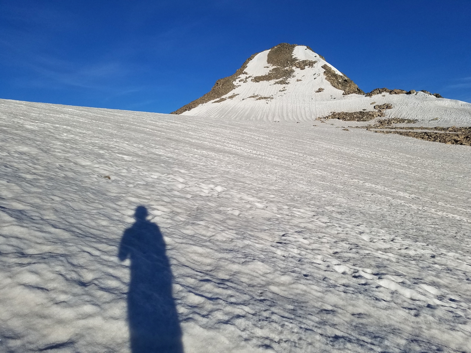
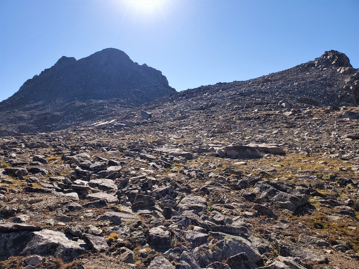
Looking back up at the west slope of Split Mountain after my round-trip from Split Mountain Pass.
The south face of Split Mountain. I descended via Split Mountain Pass, which is the left-most saddle.
DISCLAIMER: Mountain climbing is dangerous. Activities described on this page may lead to serious injury, death, and property damage. This webpage is presented with no warranty express or implied. Pictures and text are for entertainment purposes only. No commercial use allowed; all rights reserved.