Introduction
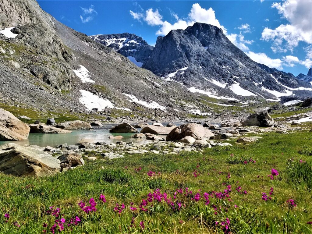
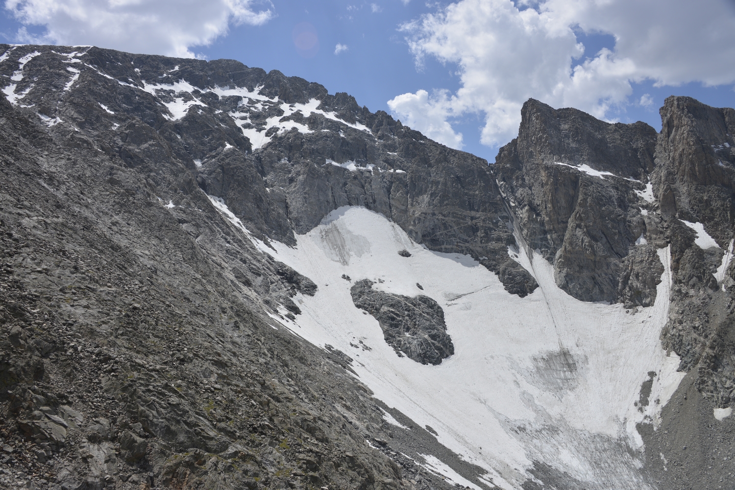
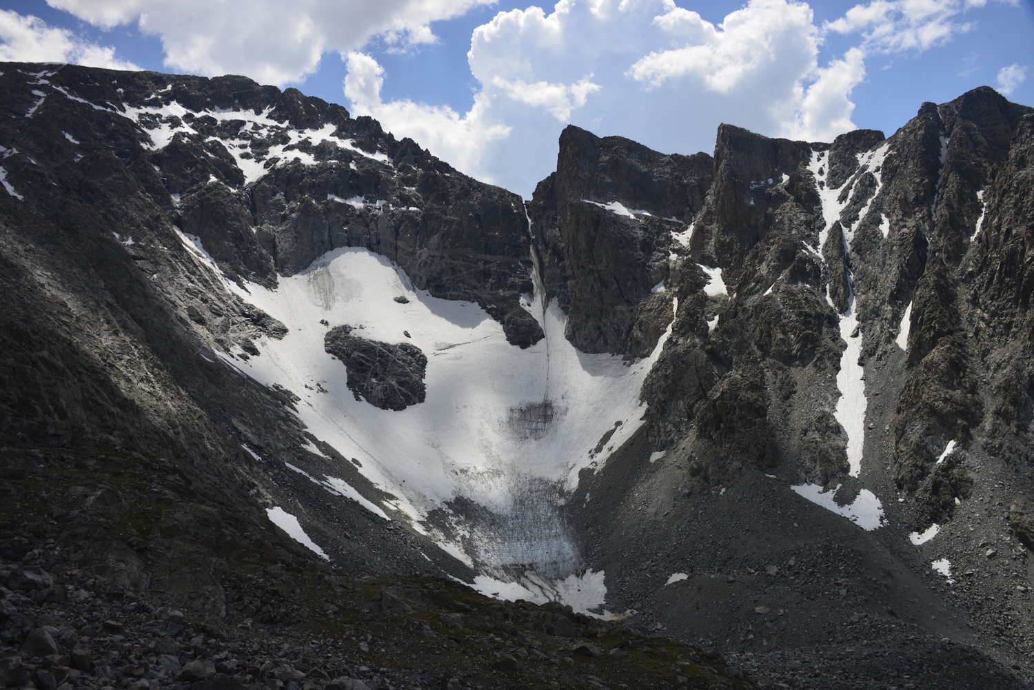
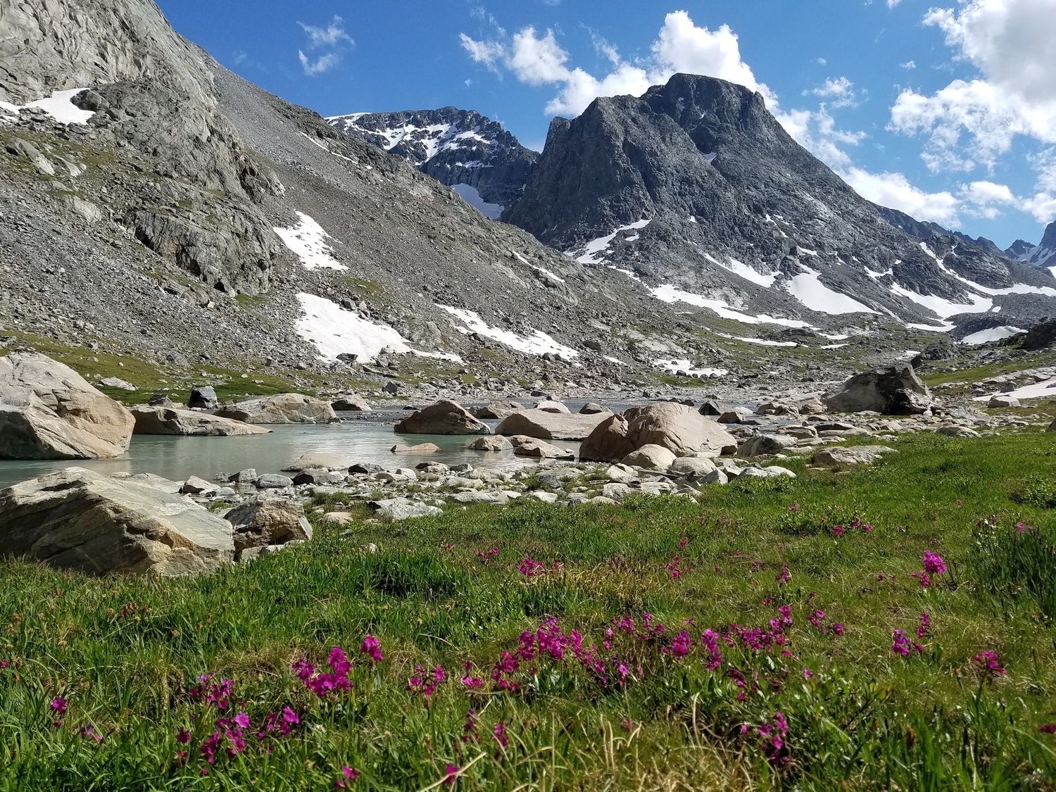
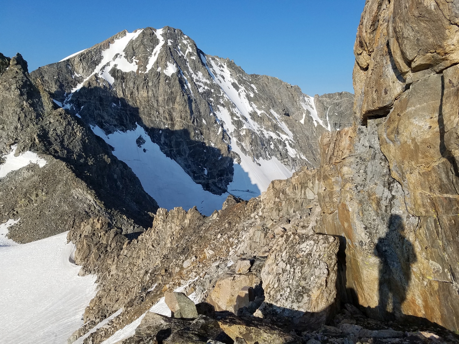
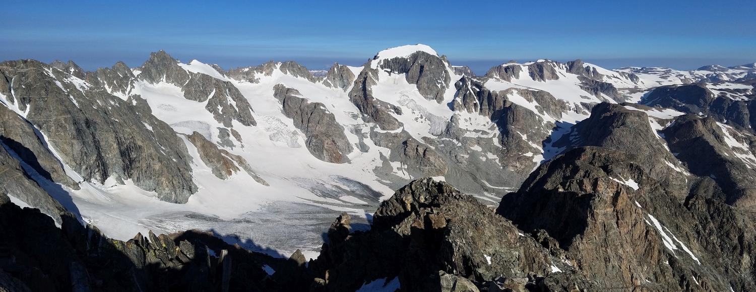
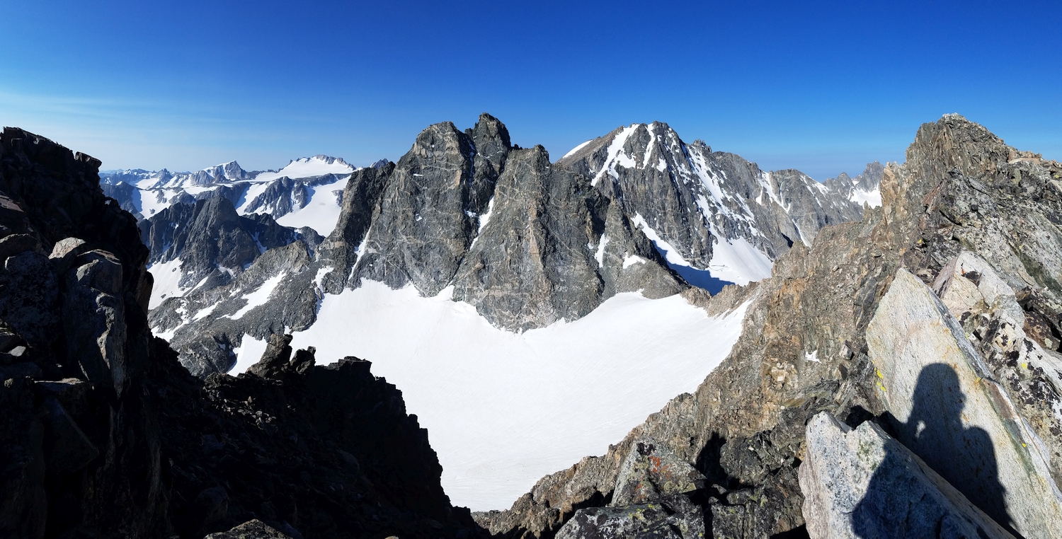
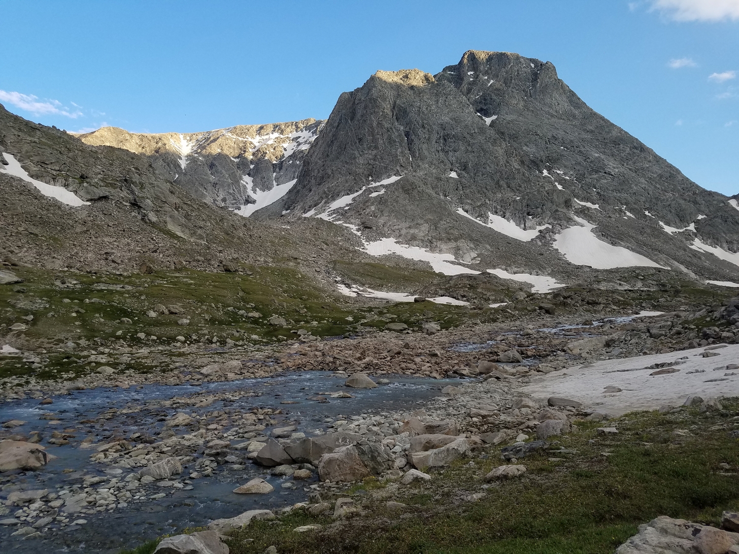
On the other side of Backpackers Pass from Turret sits a friendly peak whose charming name fits its sunny disposition. Most people encounter Sunbeam as the vast wall of rock which catches the evening sunlight when viewed from camp at the end of the Glacier Trail. Backpackers on Blaurock Pass may also note the small but impressively steep Heap Steep Glacier hanging from its north face.
General Considerations
This peak is a good detour for people crossing Blaurock Pass if the group is comfortable with a bit of basic scrambling. Sunbeam Peak would make a good transition between the walk-up peaks and those with harder scrambling routes.
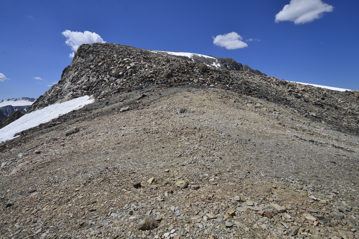
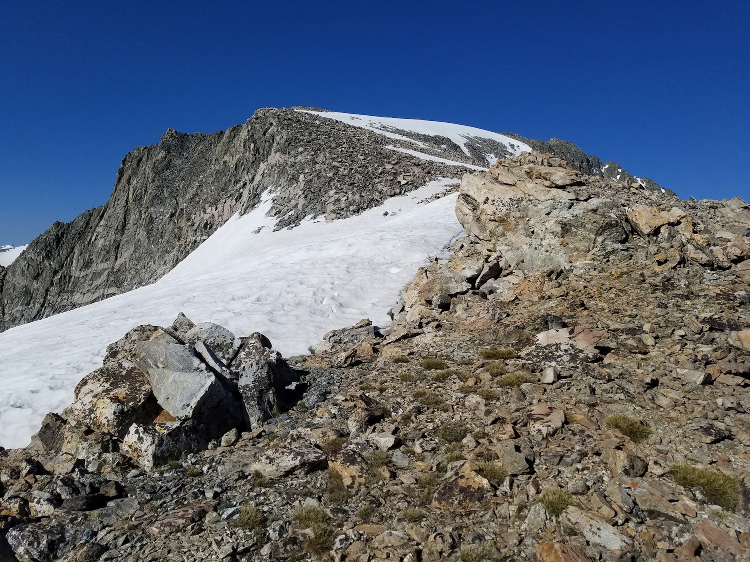
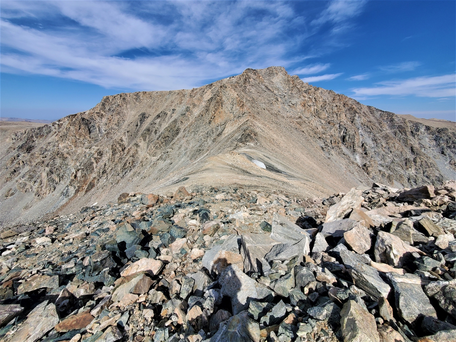
Route 1: Northeast Ridge – Class 3
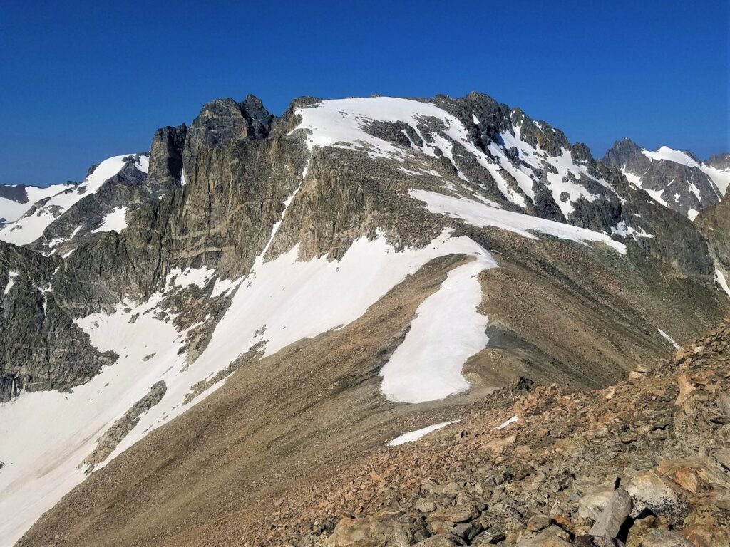
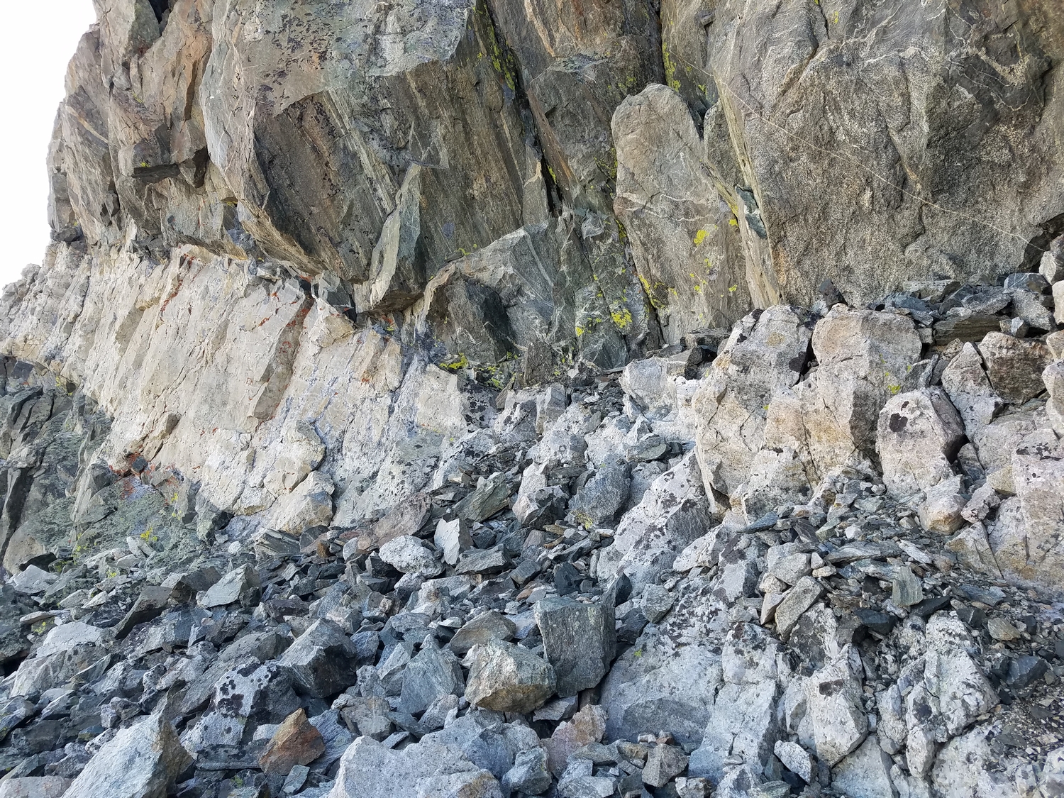
This route starts from Blaurock Pass, and most of your time climbing this peak will be spent reaching the top of the pass. You can climb scree and talus up either side of Blaurock Pass, starting either from the Helen Glacier outwash plain in the North Fork of Bull Lake Creek or from the East Sentinel’s cirque where the Glacier Trail ends at the terminus of the Dinwoody moraine.
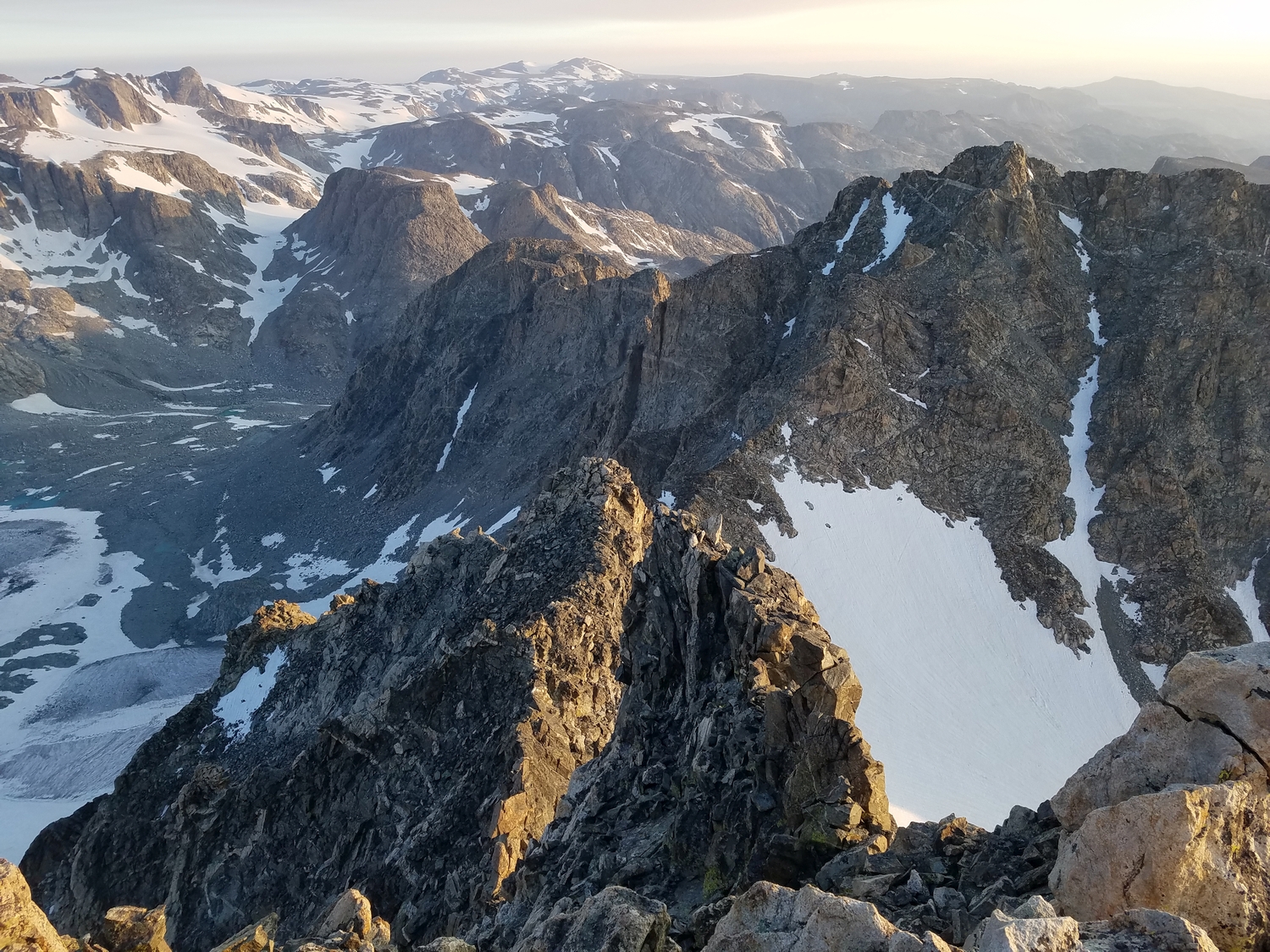
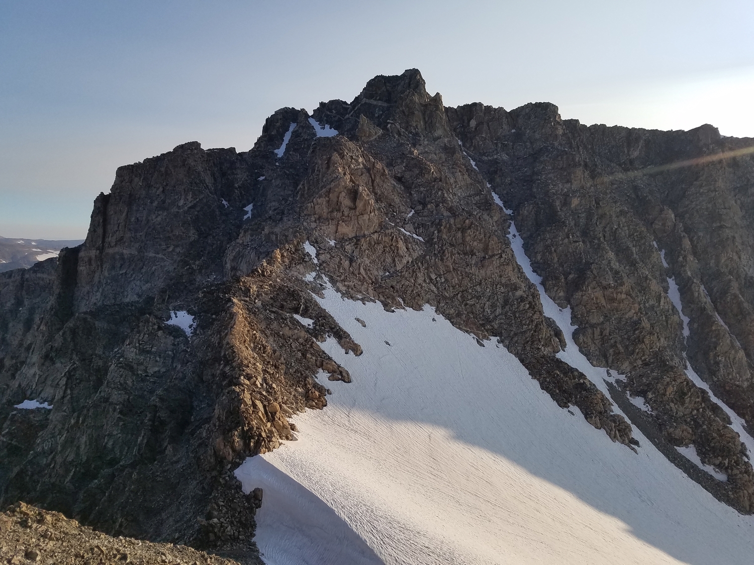
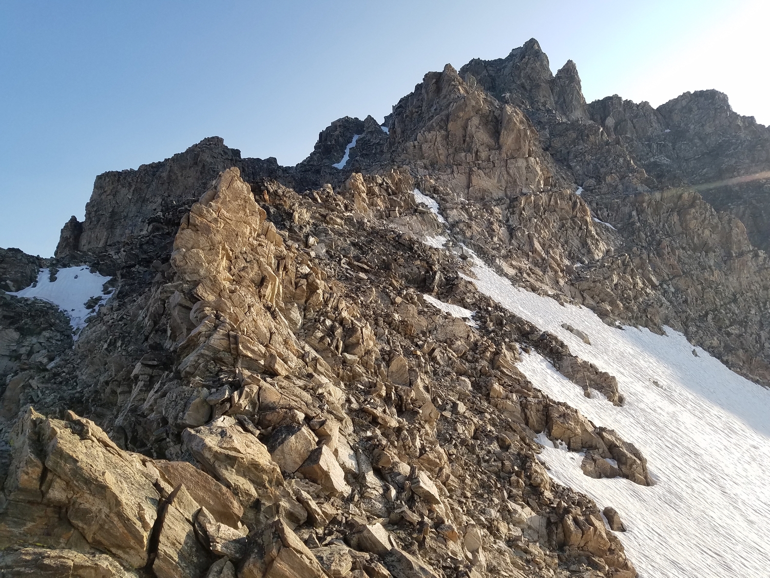
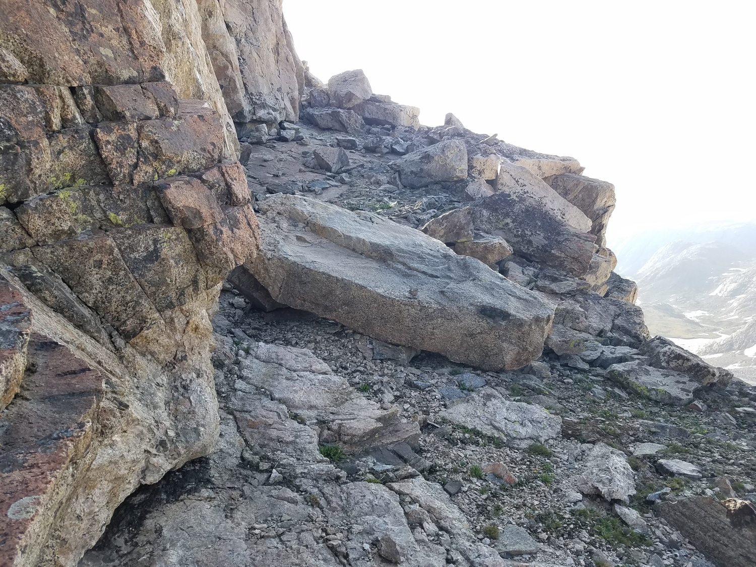
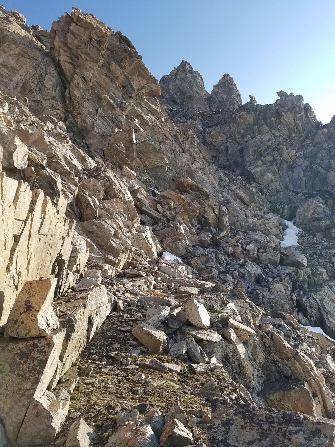
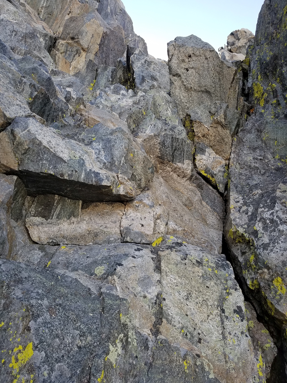
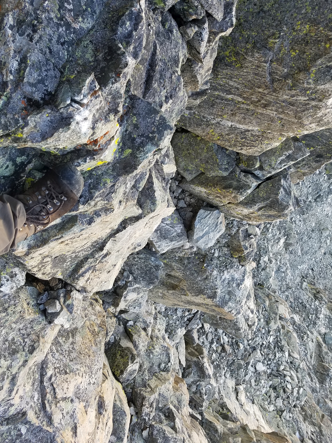
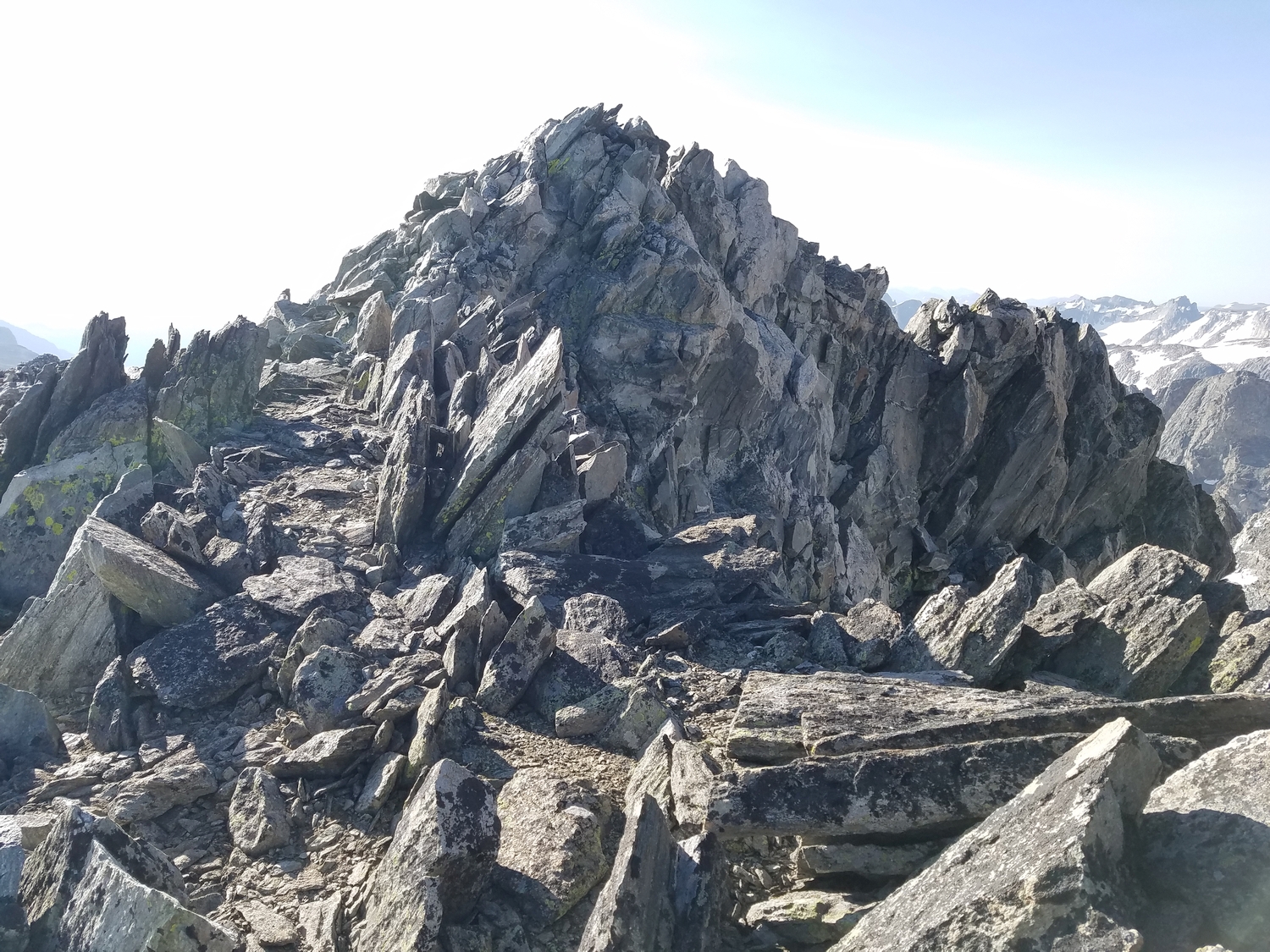
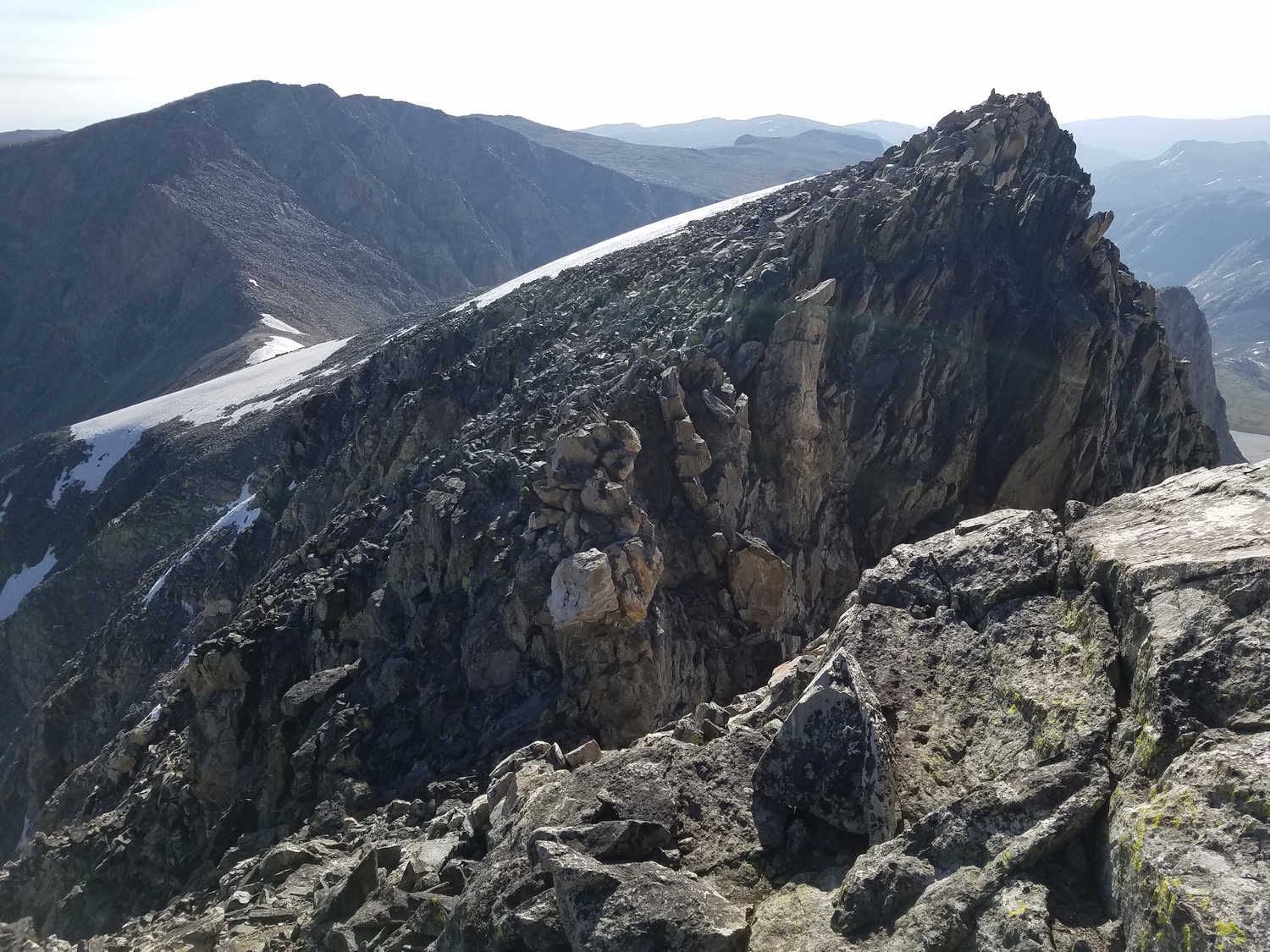
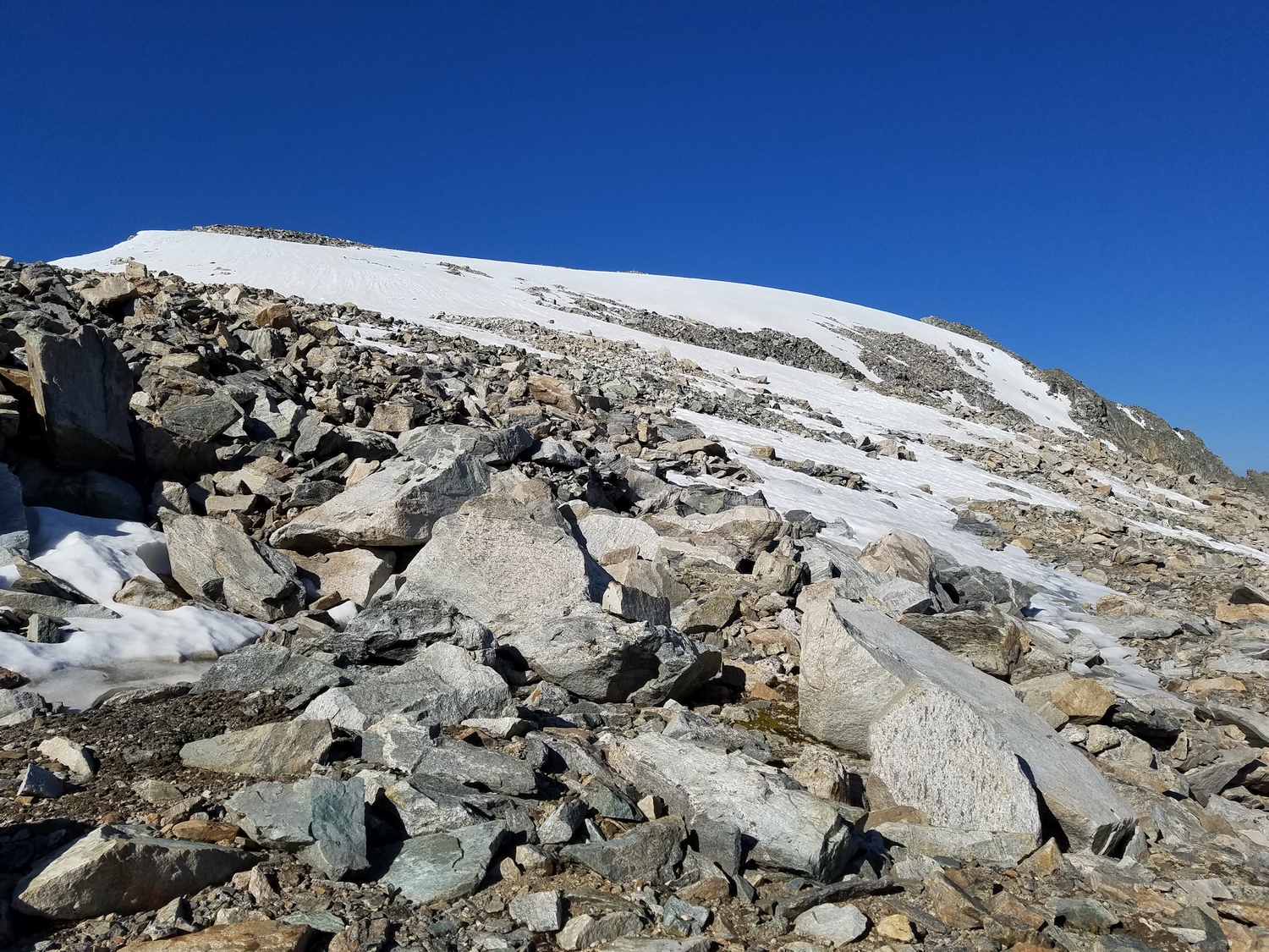
From Blaurock Pass, ascend a broad, low-angled, north-facing slope until the ridge narrows and turns climber’s right. From here, continue walking a short distance along the ridge (now trending westward). A short notch, about 10 feet deep, blocks the ridge crest and requires a few class 3 moves of downclimbing and scrambling over blocky terrain. The summit awaits just beyond the notch.
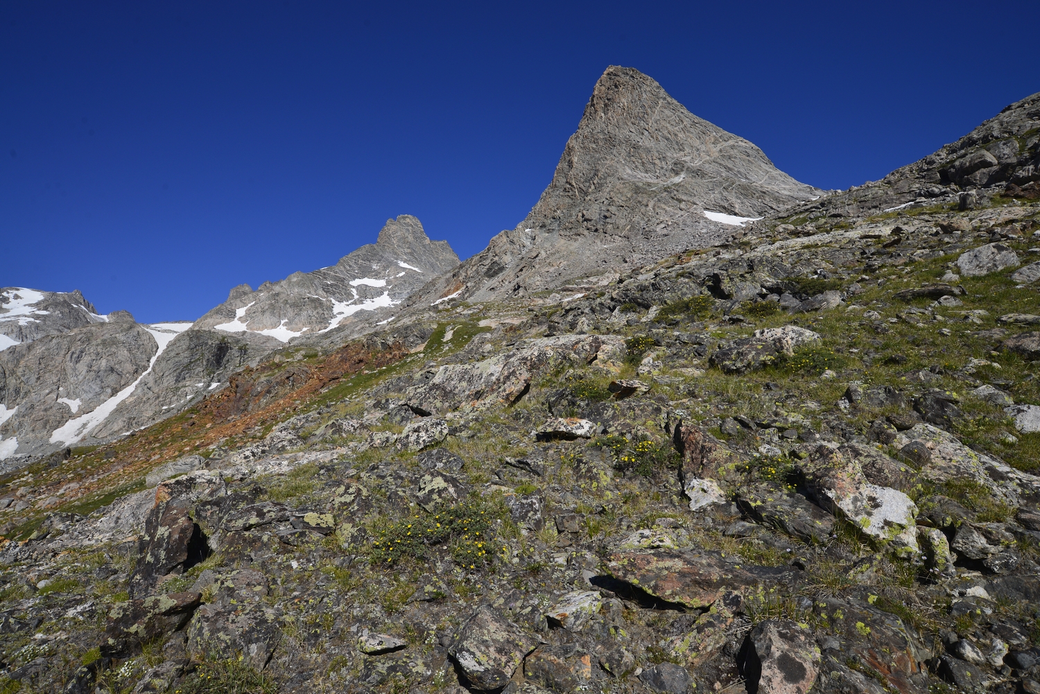
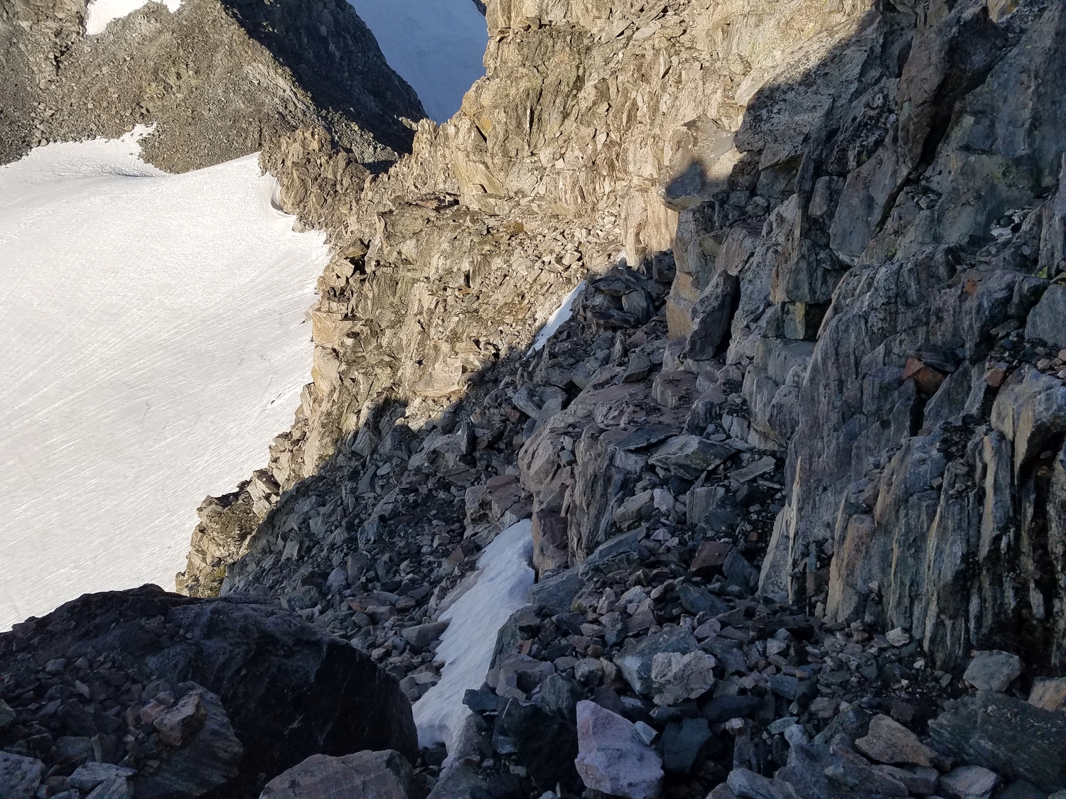
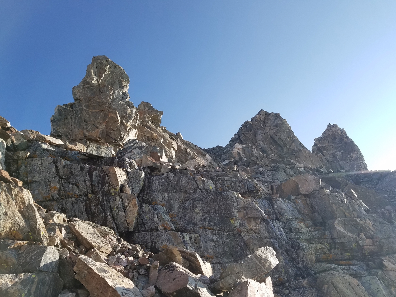
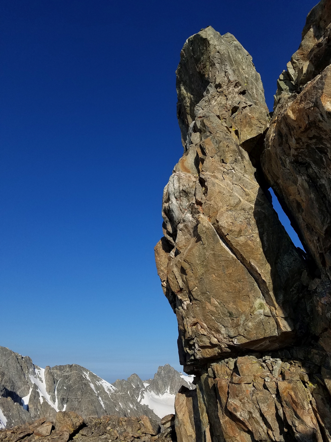
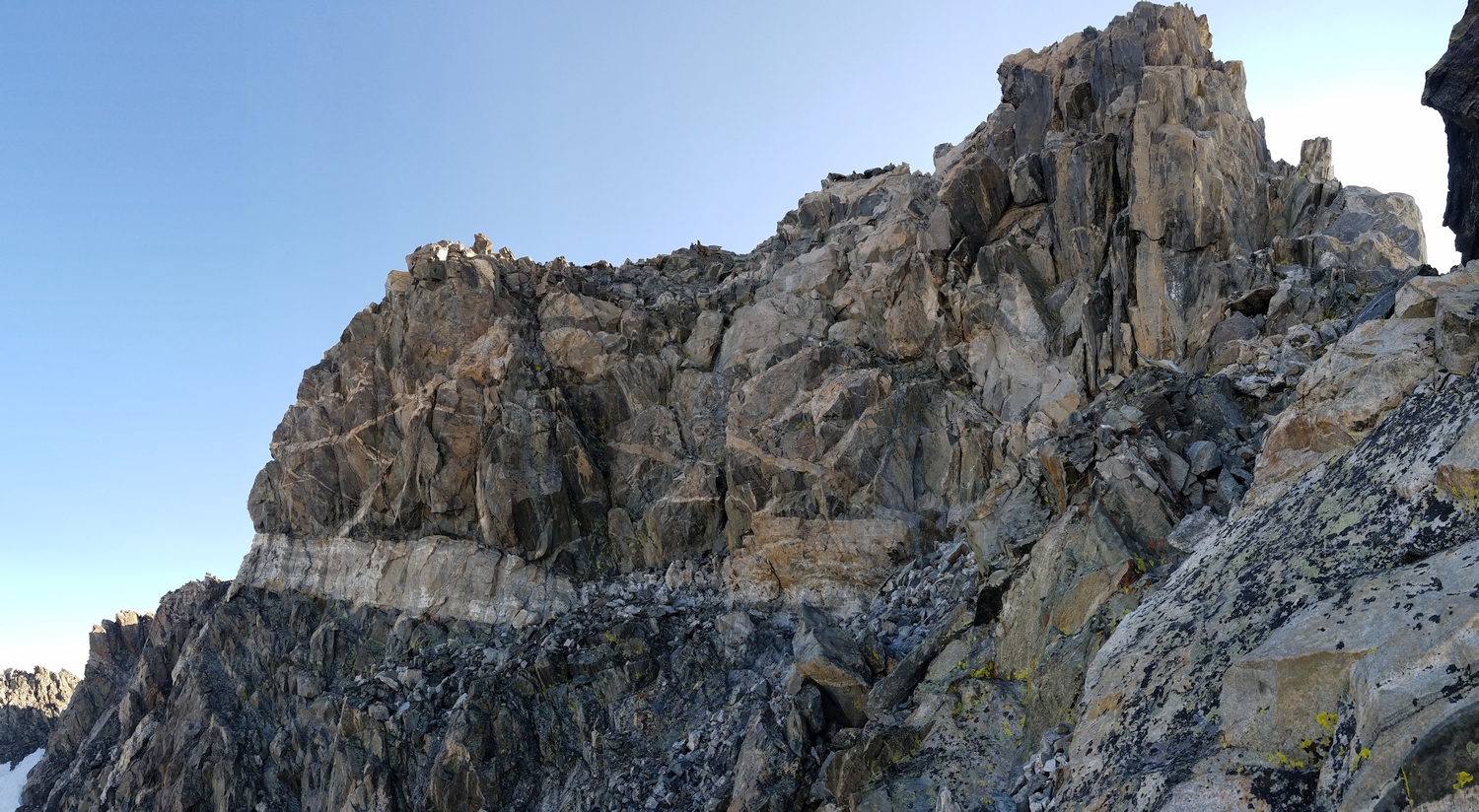
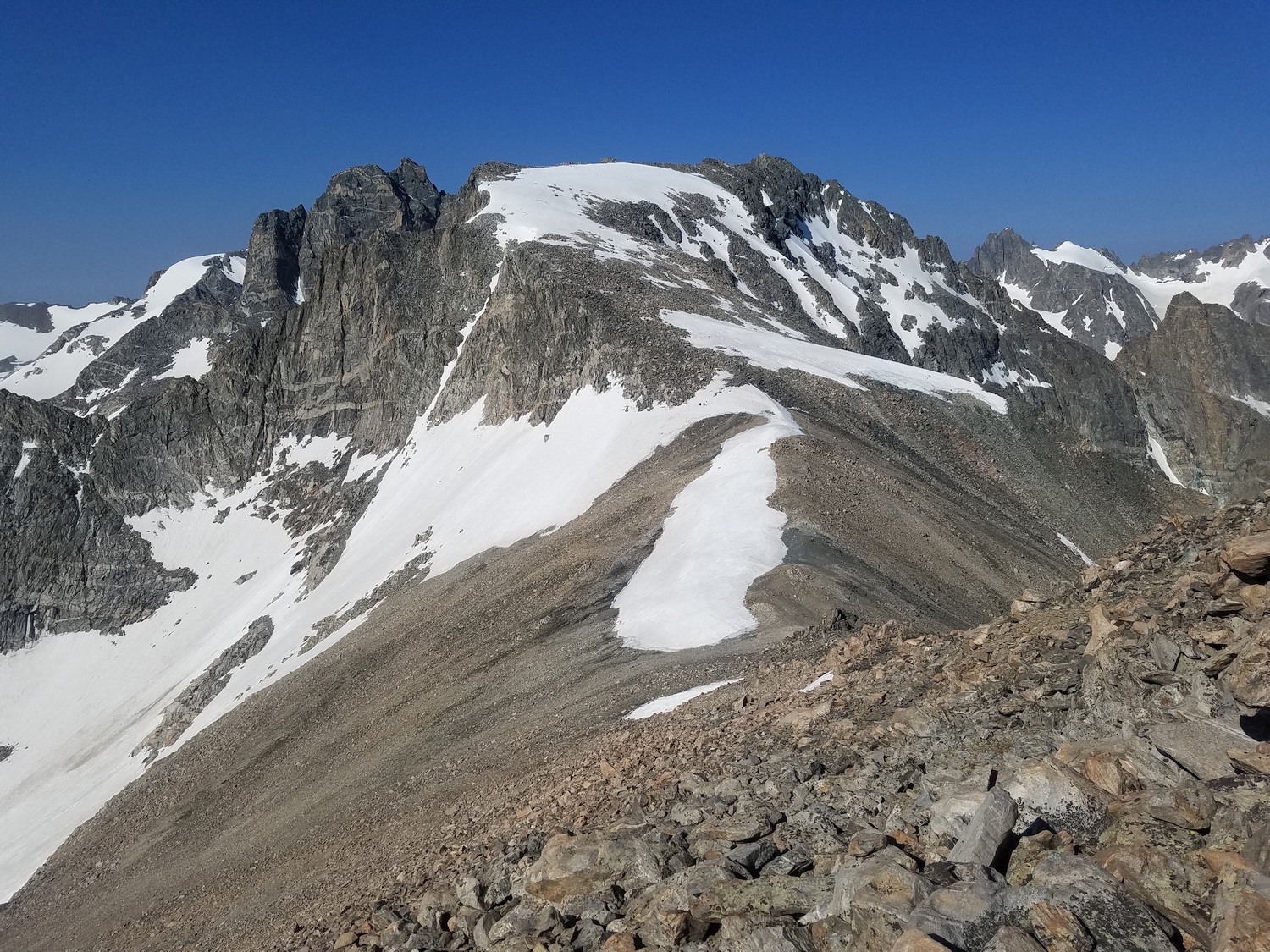
Route 2: South Ridge – Class 4
This route starts from Backpackers Pass and has mainly been used to enable a linkup of Turret, Sunbeam, and Febbas (the traverse has been done in both directions). To get to Backpackers Pass, either climb snow from the Helen Glacier, or cross the Dinwoody Moraine and clamber up the pass’s west-side scree.
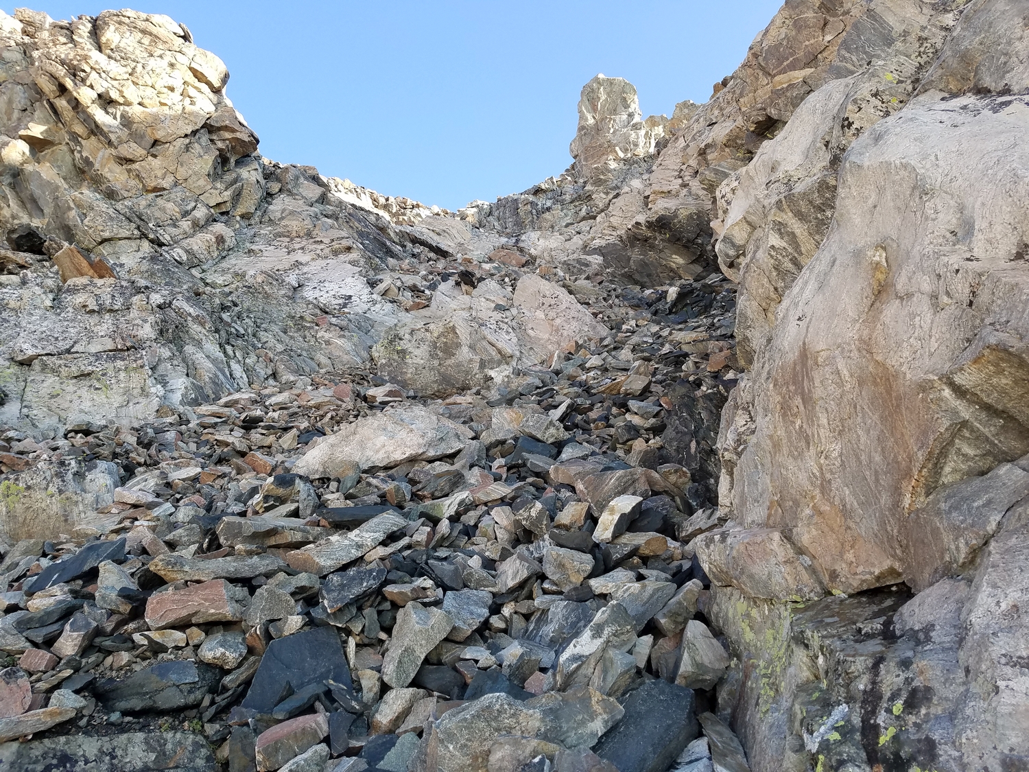
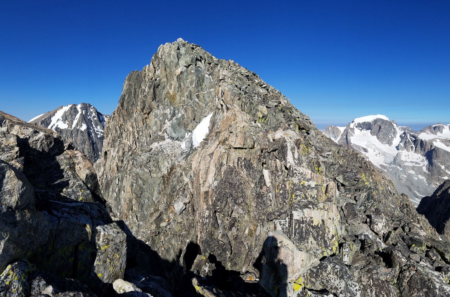
From Backpackers Pass, the easiest route stays substantially below the ridge crest on the east side. A combination of scree gullies, broad ledges, and short rock steps provides a choose-your-own-adventure route to just below the summit. From the point where a large white dike cuts across the south face just below the top, head up to the right into more challenging terrain, where a couple very short chimneys separated by ledges deliver you to the summit.