Wind River Peak
Elevation: 13,200 ft.
Prominence: 2,571 ft.
Isolation: 35 miles
Technical Difficulty: Class 2


Wind River Peak Guidebook
Introduction
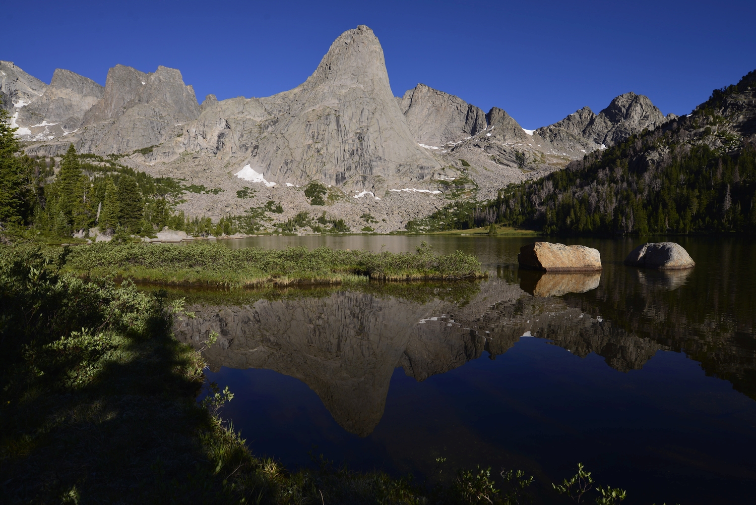
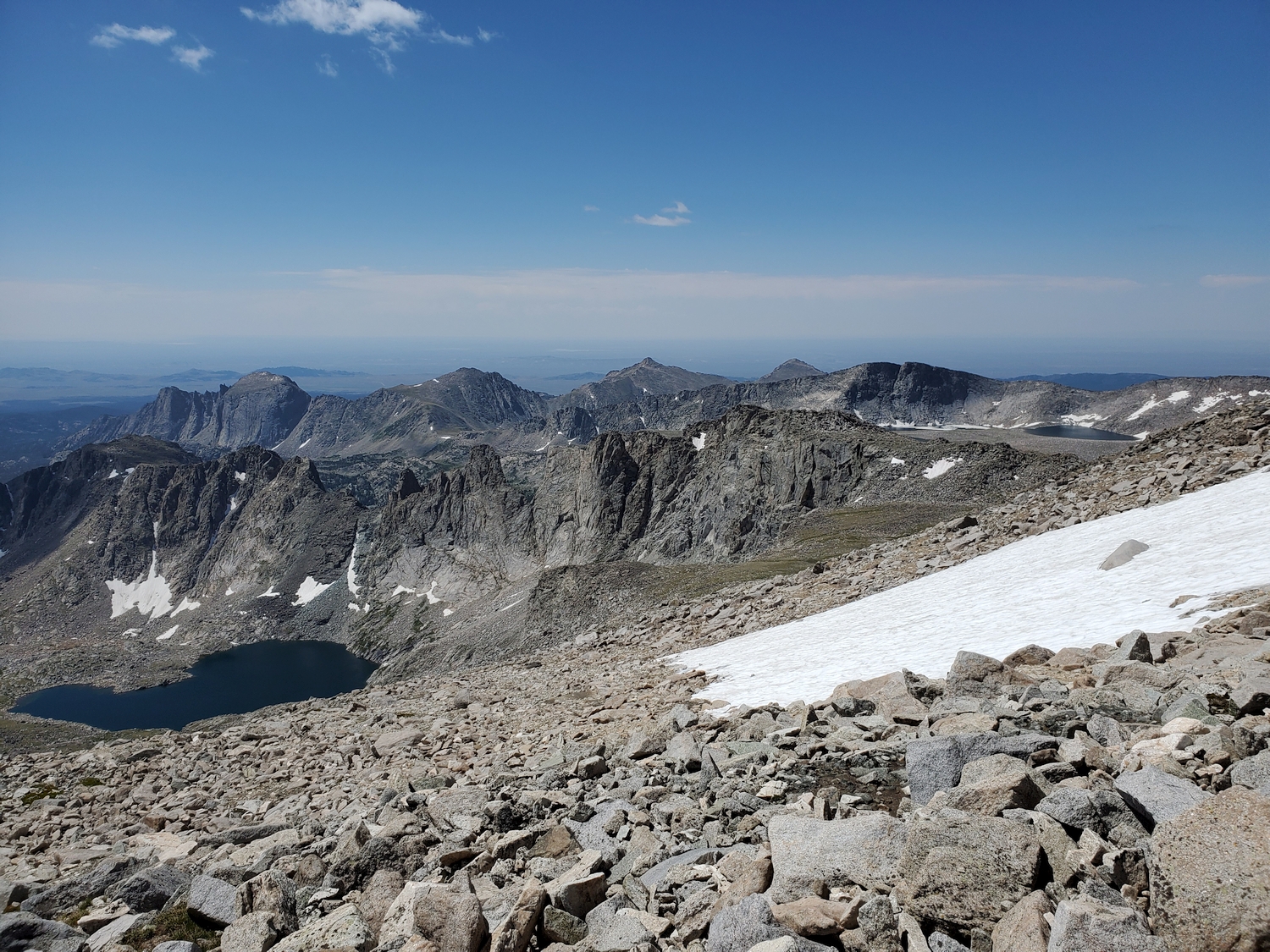
Wind River Peak is the undisputed monarch of the southern Wind River Range, and carries its distinction well. A gentle giant in a land of technical towers, the summit is visited by many backpackers and hikers each year, but the abundance of steep rock on the north side offers rock climbers a paradise too. One could spend a lifetime exploring the southern Winds, and Wind River Peak makes a good starting or ending point for a longer trip, as the summit provides expansive overviews of the whole range, from the snowy northern summits to the Atlantic Peaks.
General Considerations
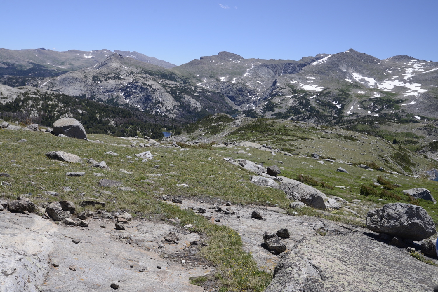
Wind River Peak is most frequently climbed by two categories of hikers: those who just want to tag the summit in a long day-hike or one-night trip, and those who use Wind River Peak as the southern terminus of a long traverse. Sadly, backpacking routes in the Winds have become over-standardized in recent years, leading to overuse in many areas, not to mention taking away from the spirit of adventure. The routes discussed below have emerged as the most common approaches to the peak, but the terrain is very flexible in this region and readers are encouraged to be creative and devise individualized routes through this area, and throughout all of the Wind River Range.
Route 1: Eastern Ramp – Class 2
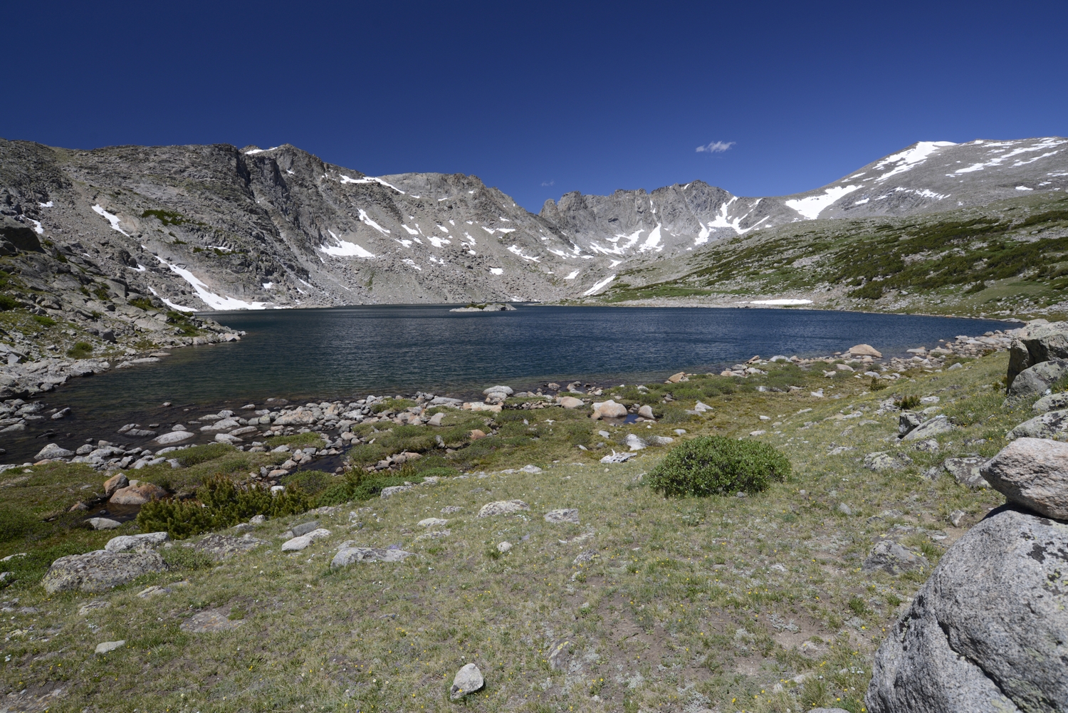
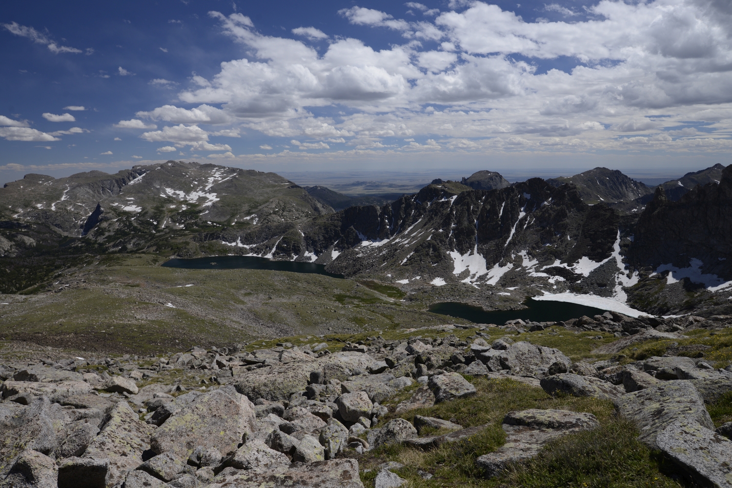
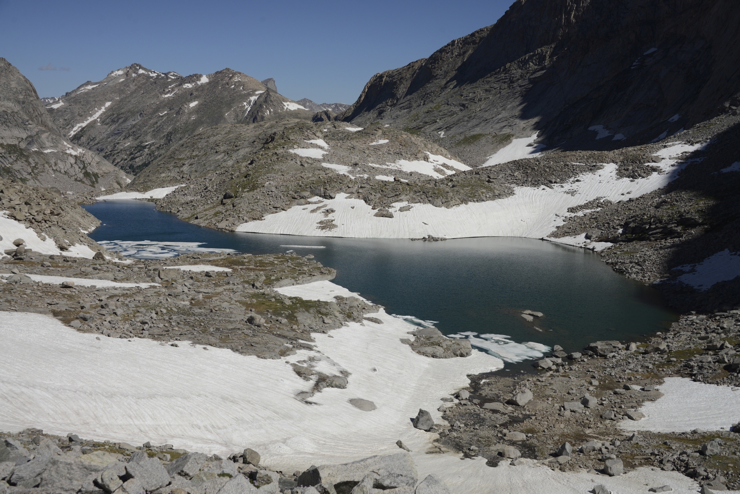
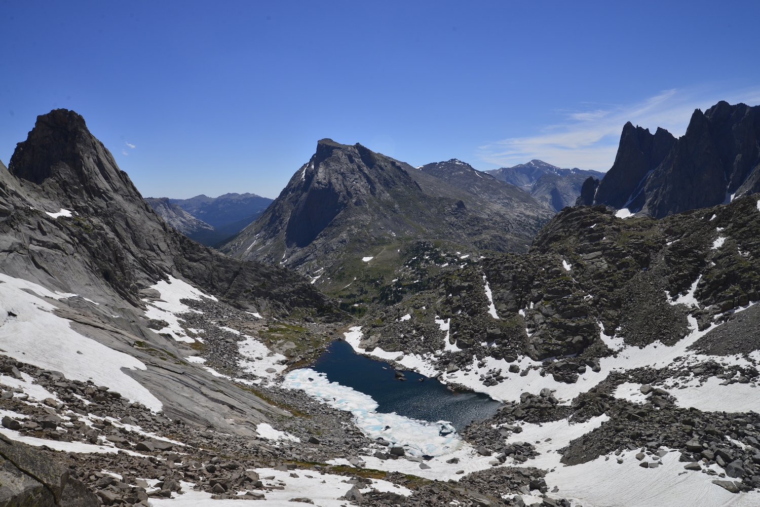
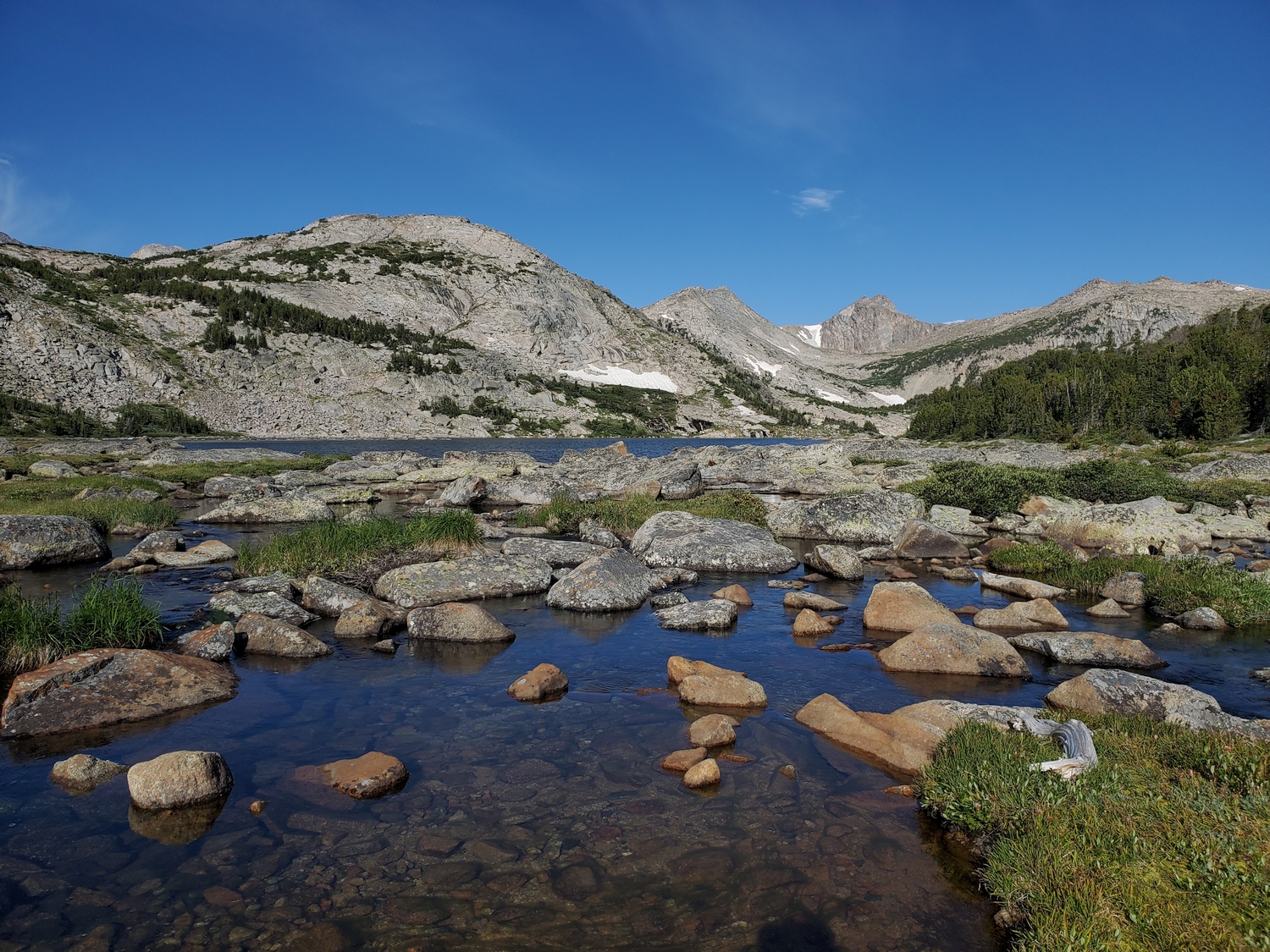
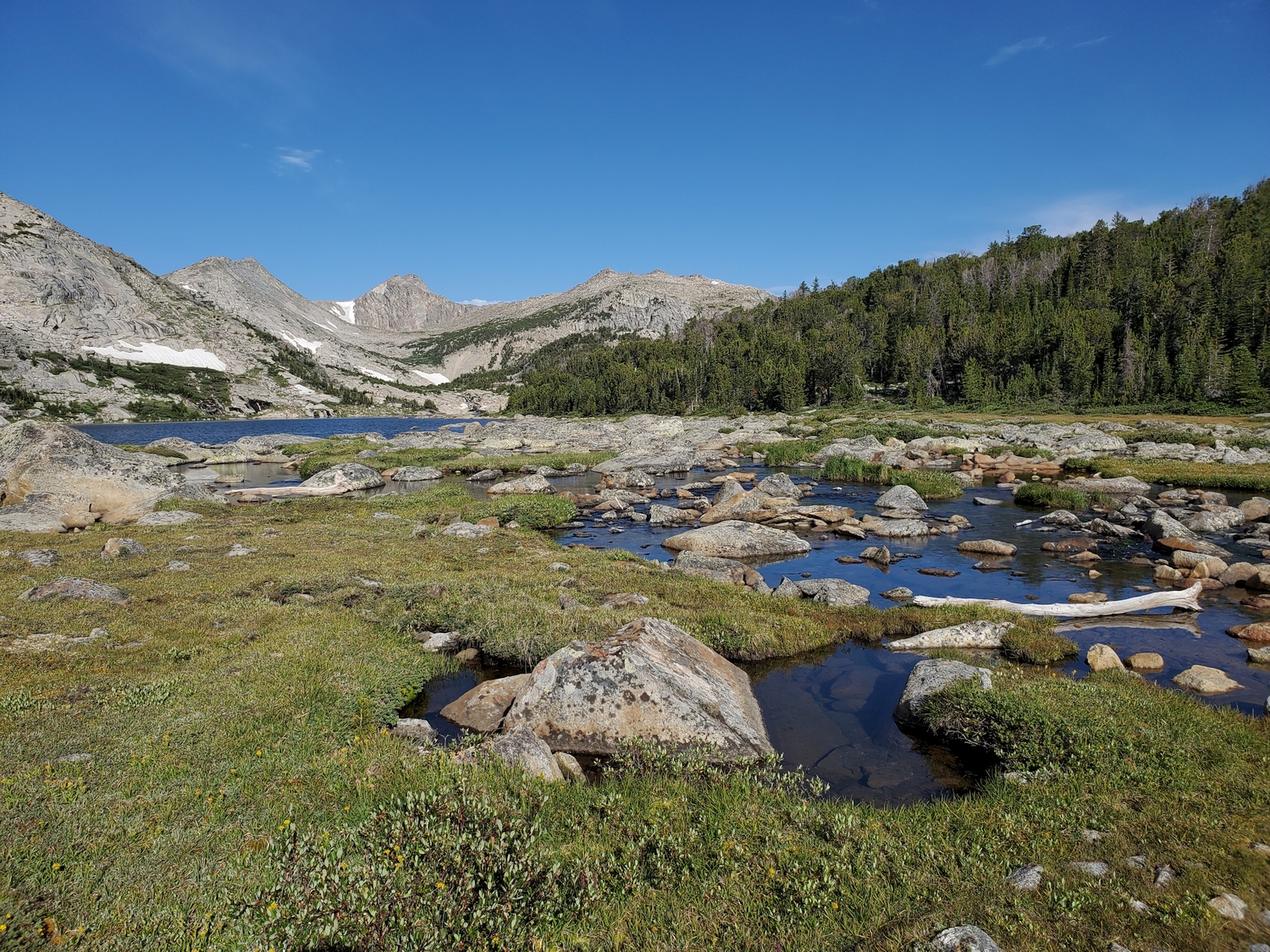
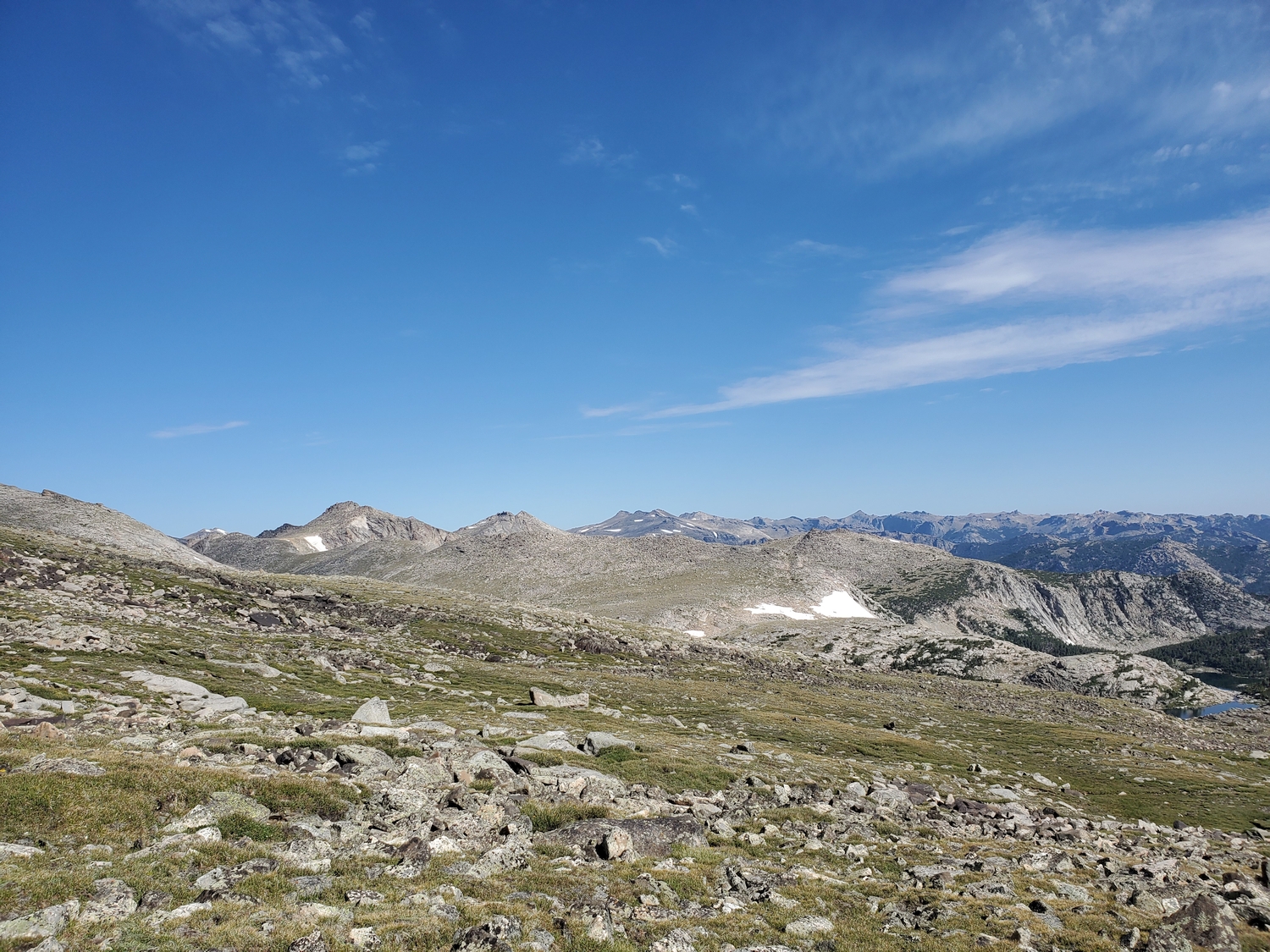
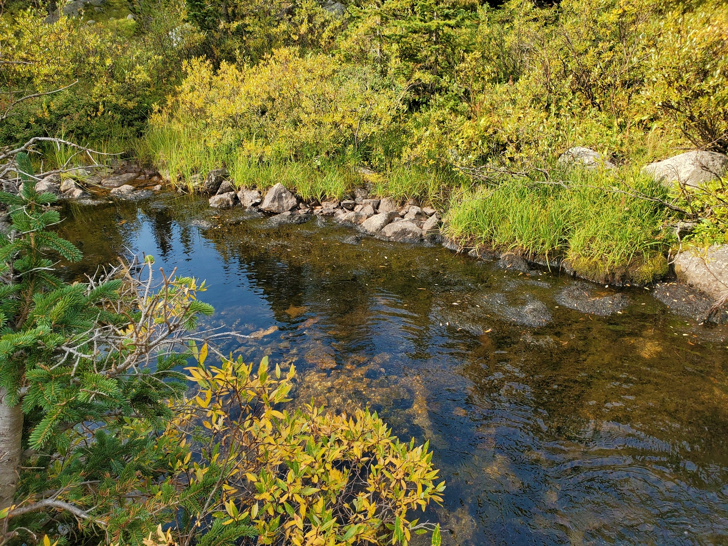
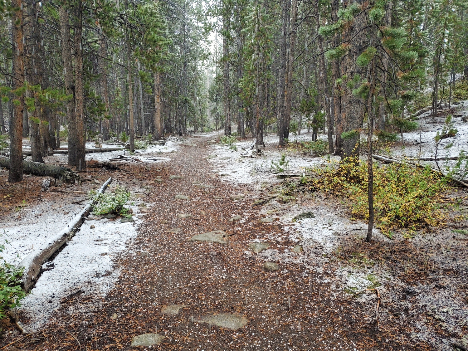
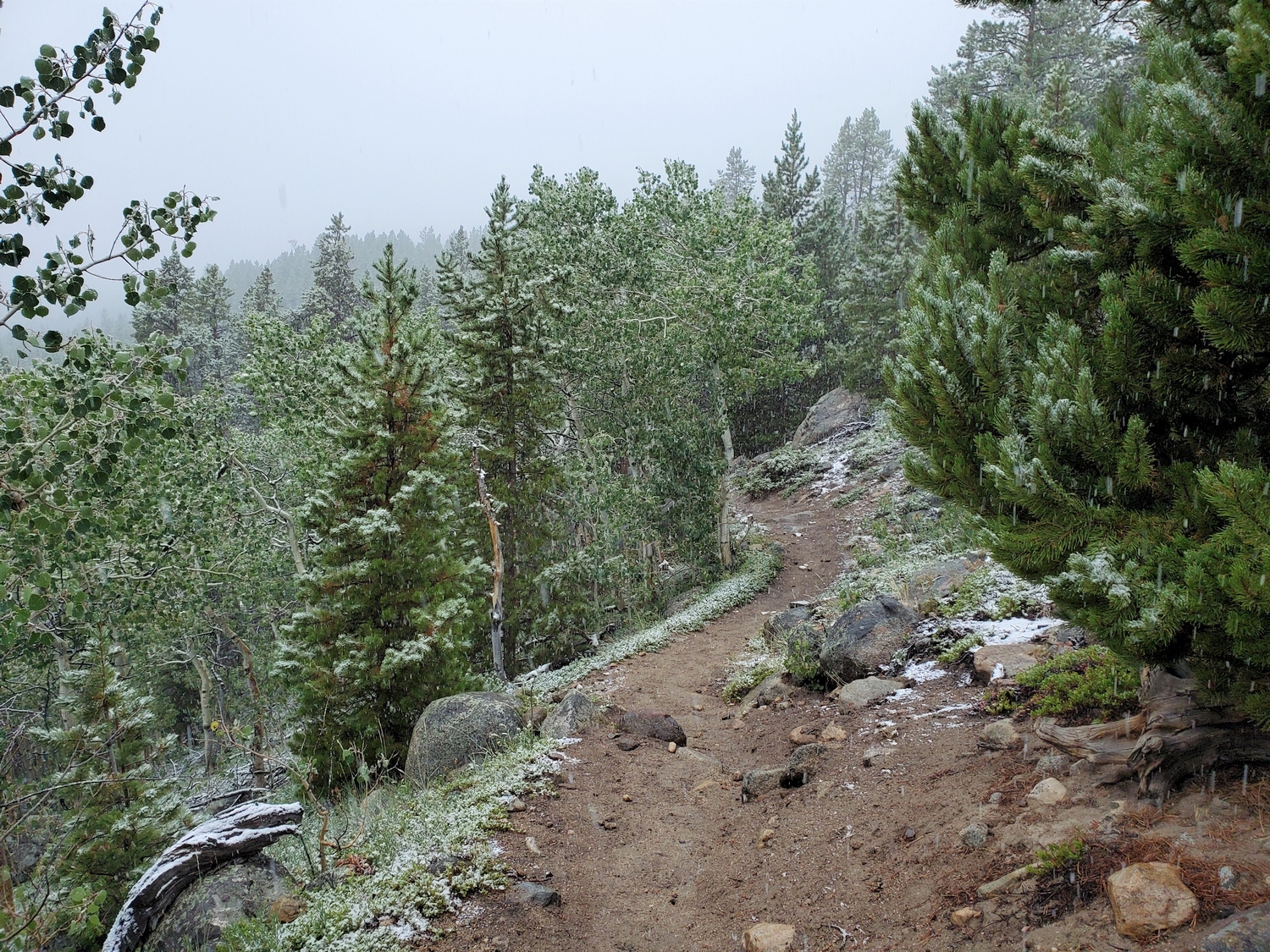
From the Worthen Meadow Trailhead on the shores of Worthen Meadow Reservoir, follow the Sheep Bridge Trail to cross the Middle Fork of the Popo Agie on Sheep Bridge. Turn west and hike up the Middle Fork Trail to a trail junction just short of Three Forks Park, turning northwest and hiking up the steepening Pinto Park Trail. In a wet meadow above Pinto Park Lake, take the Deep Creek Cutoff, eventually reaching the spectacular Deep Creek Lakes about 11.5 miles from the trailhead.
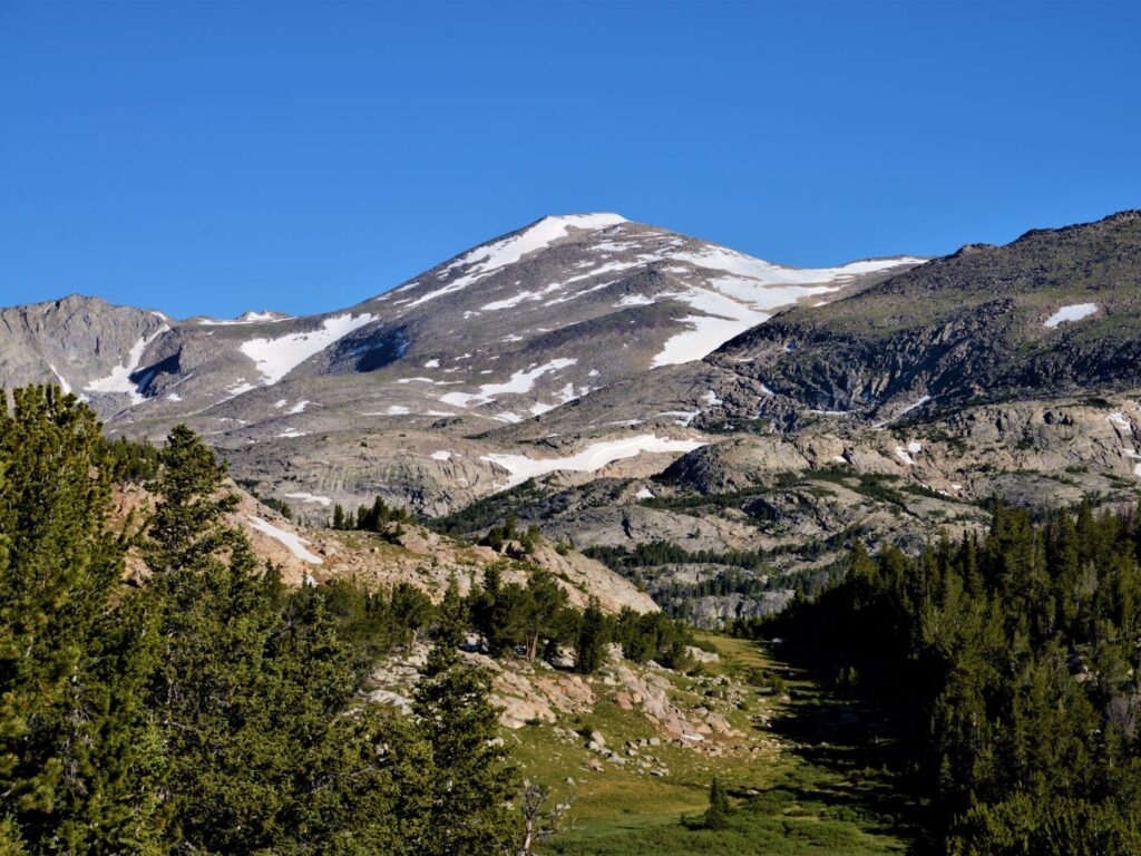
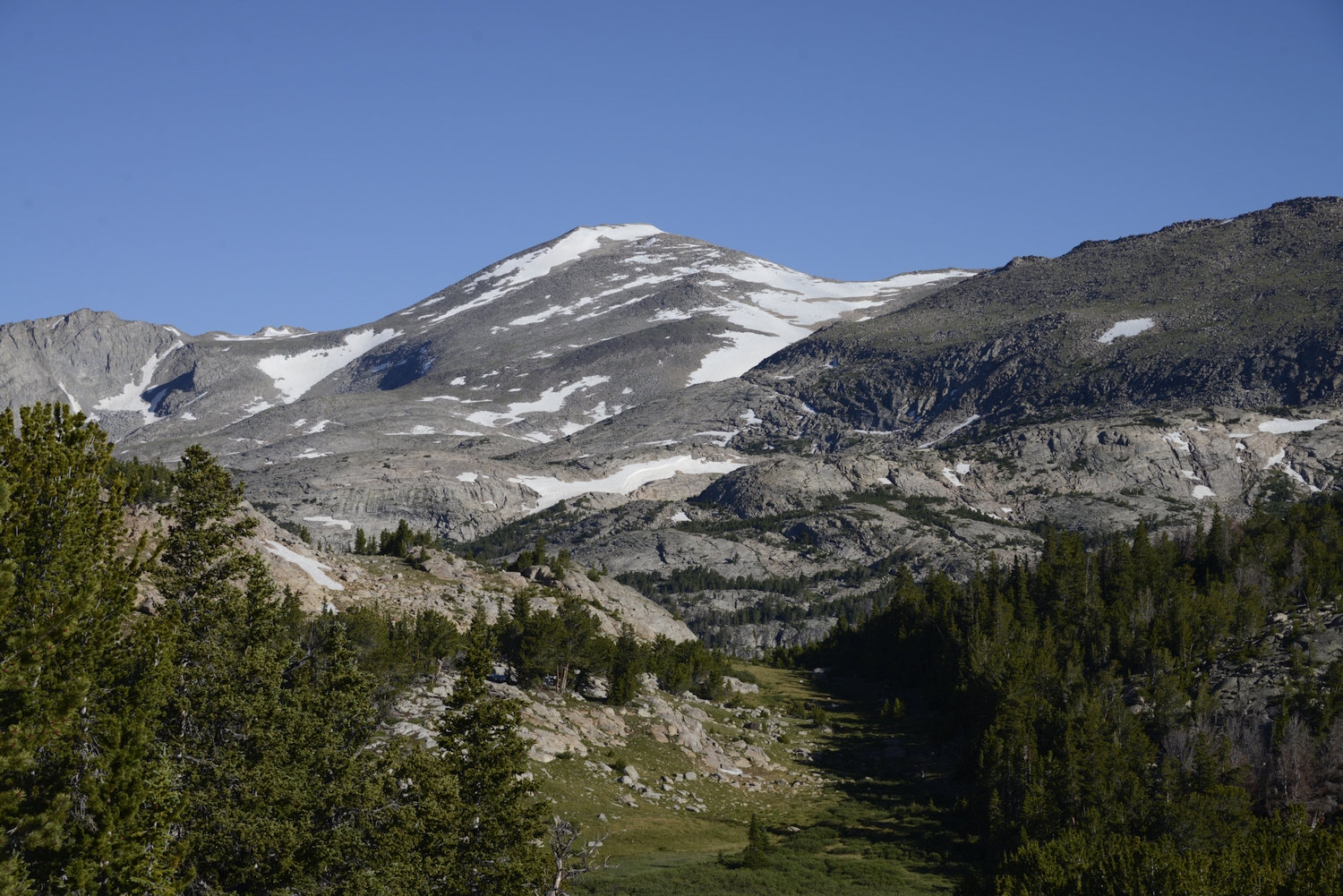
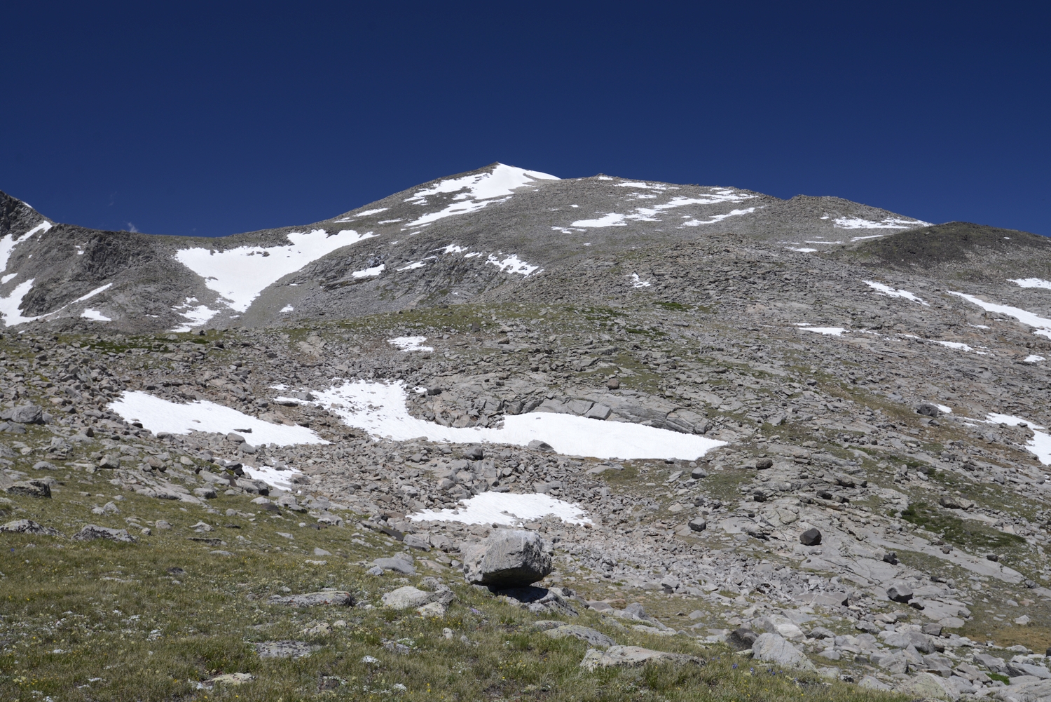
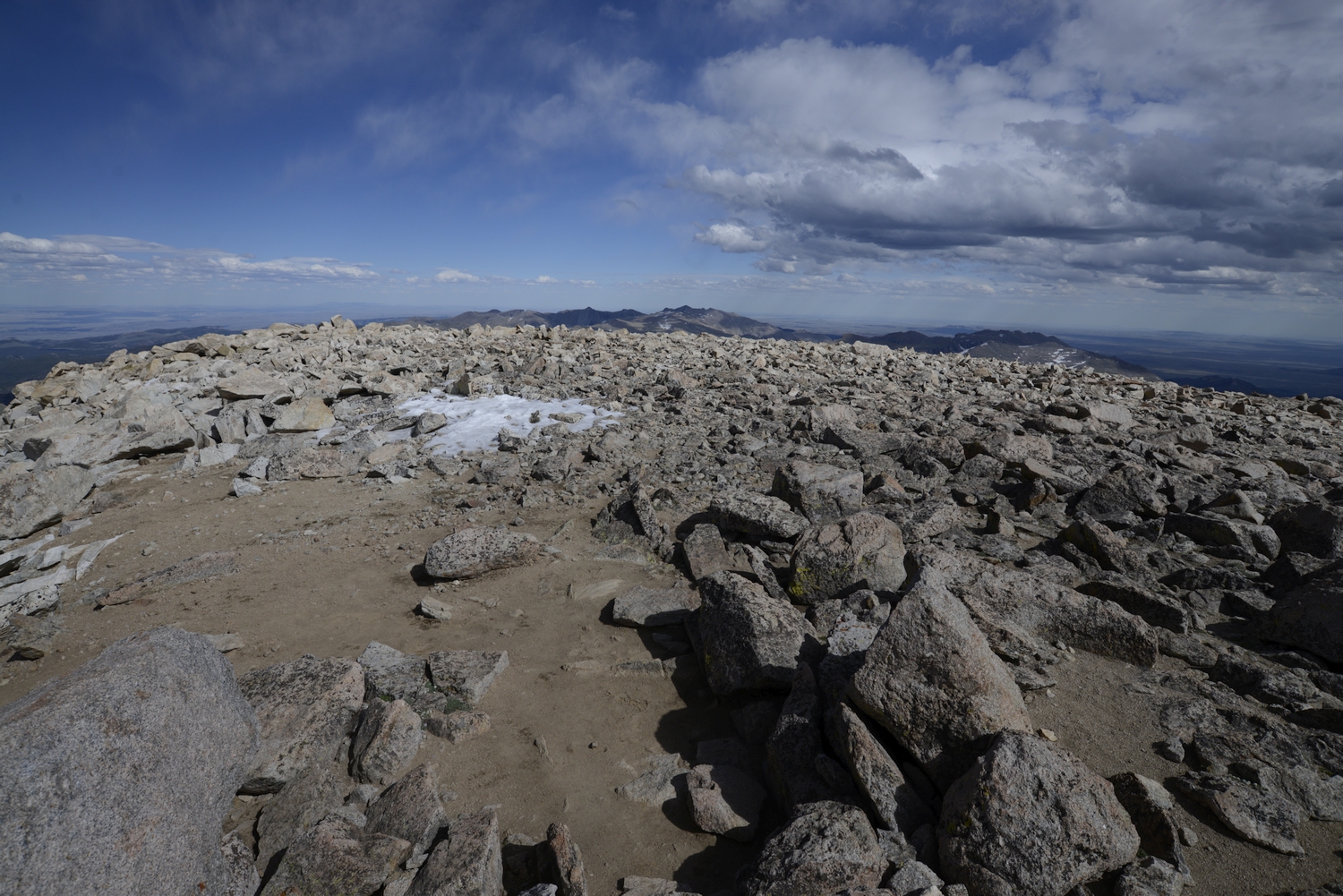
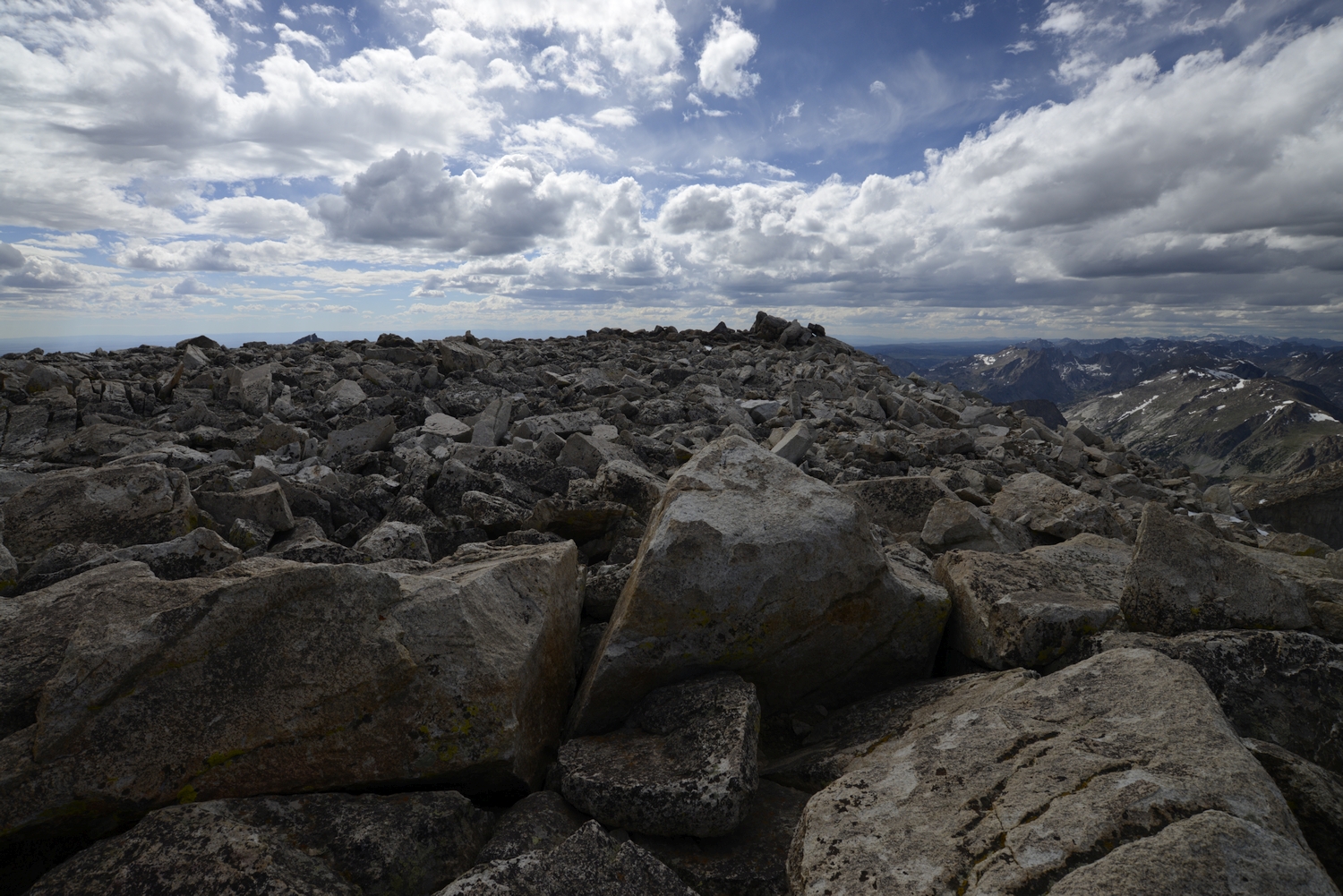
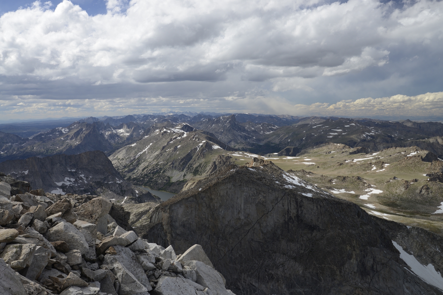
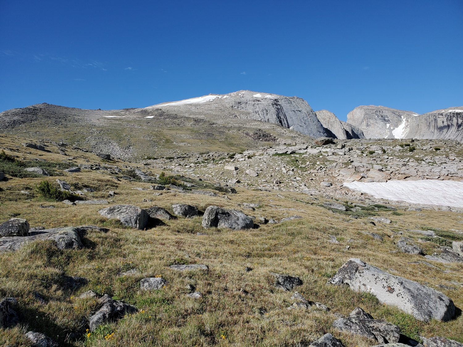
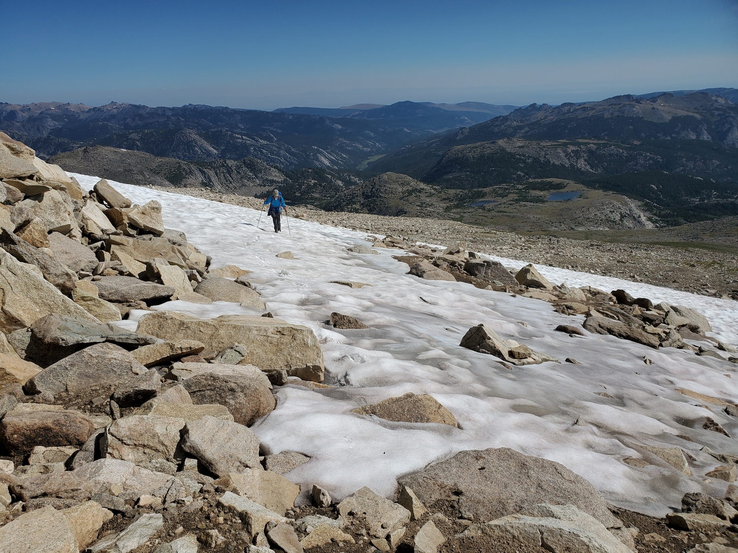
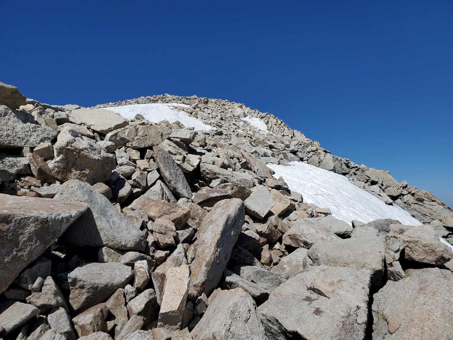
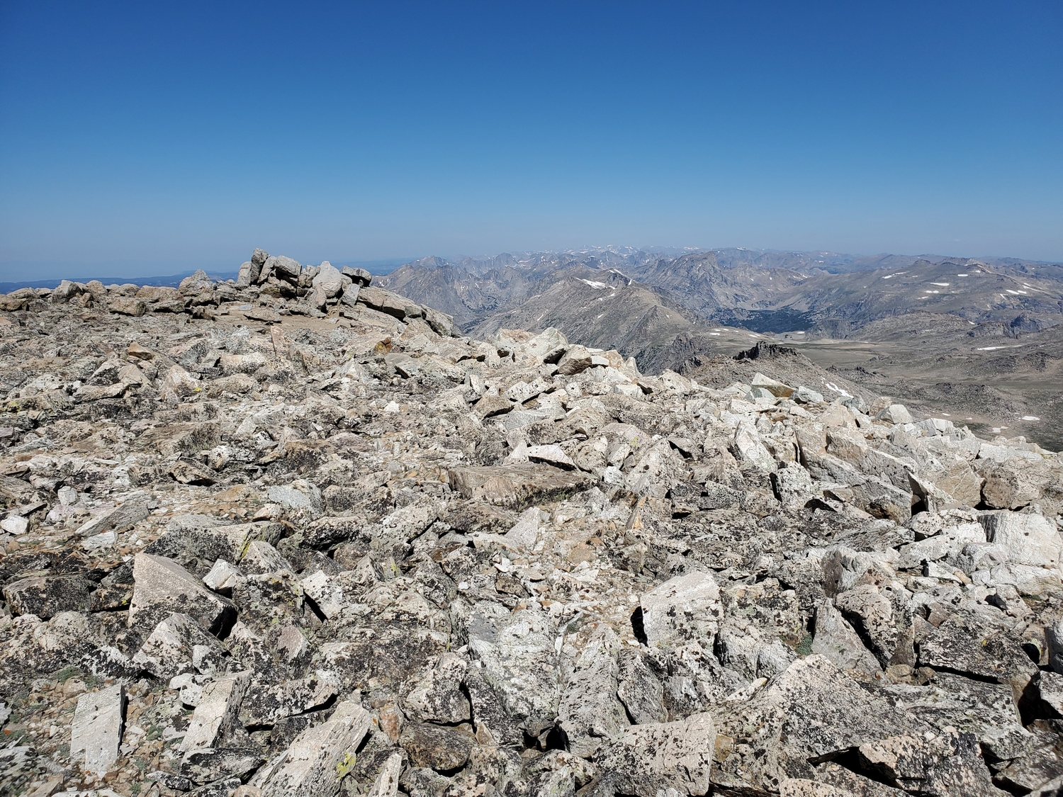
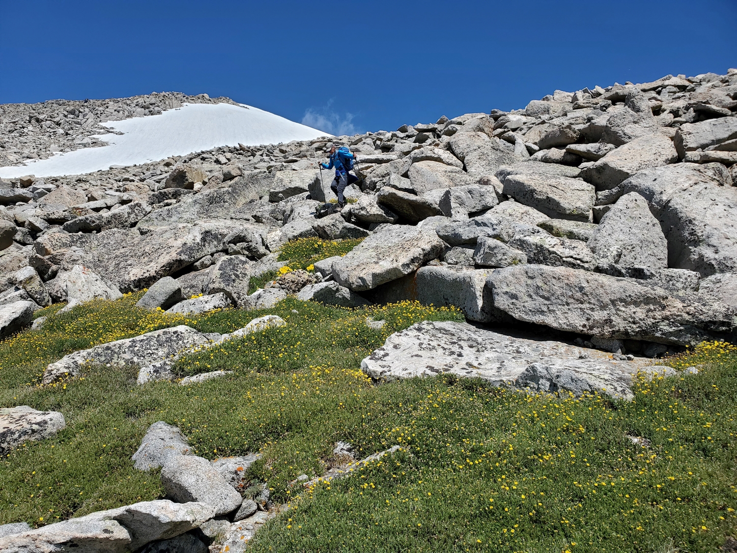
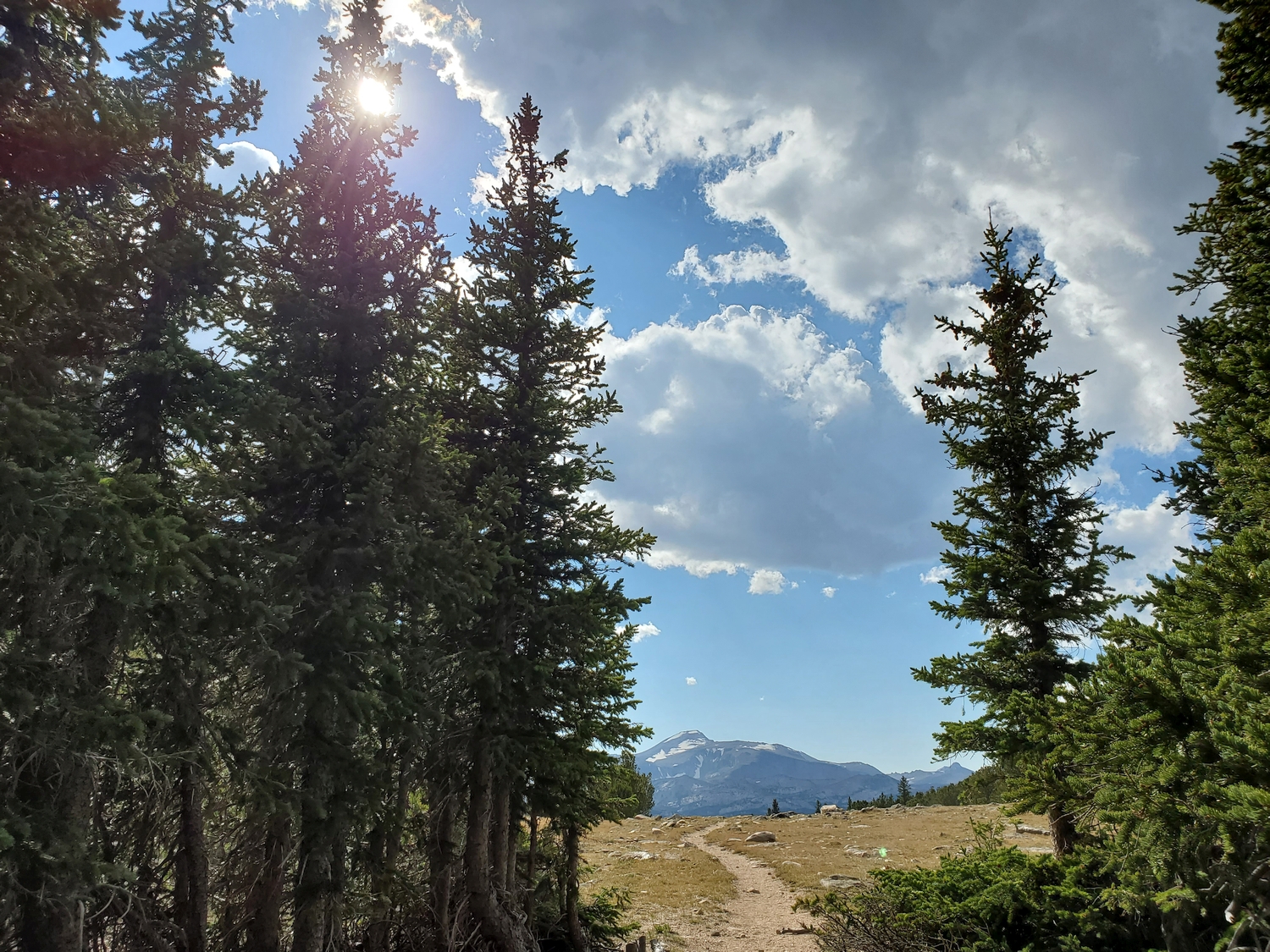
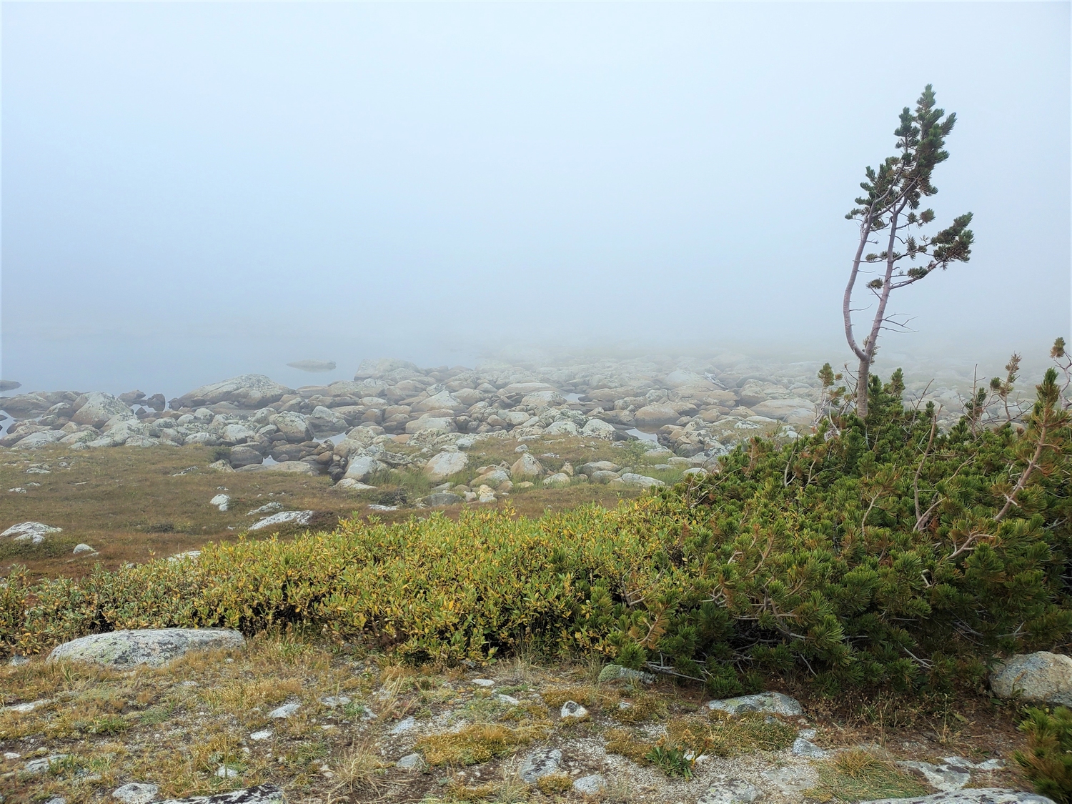
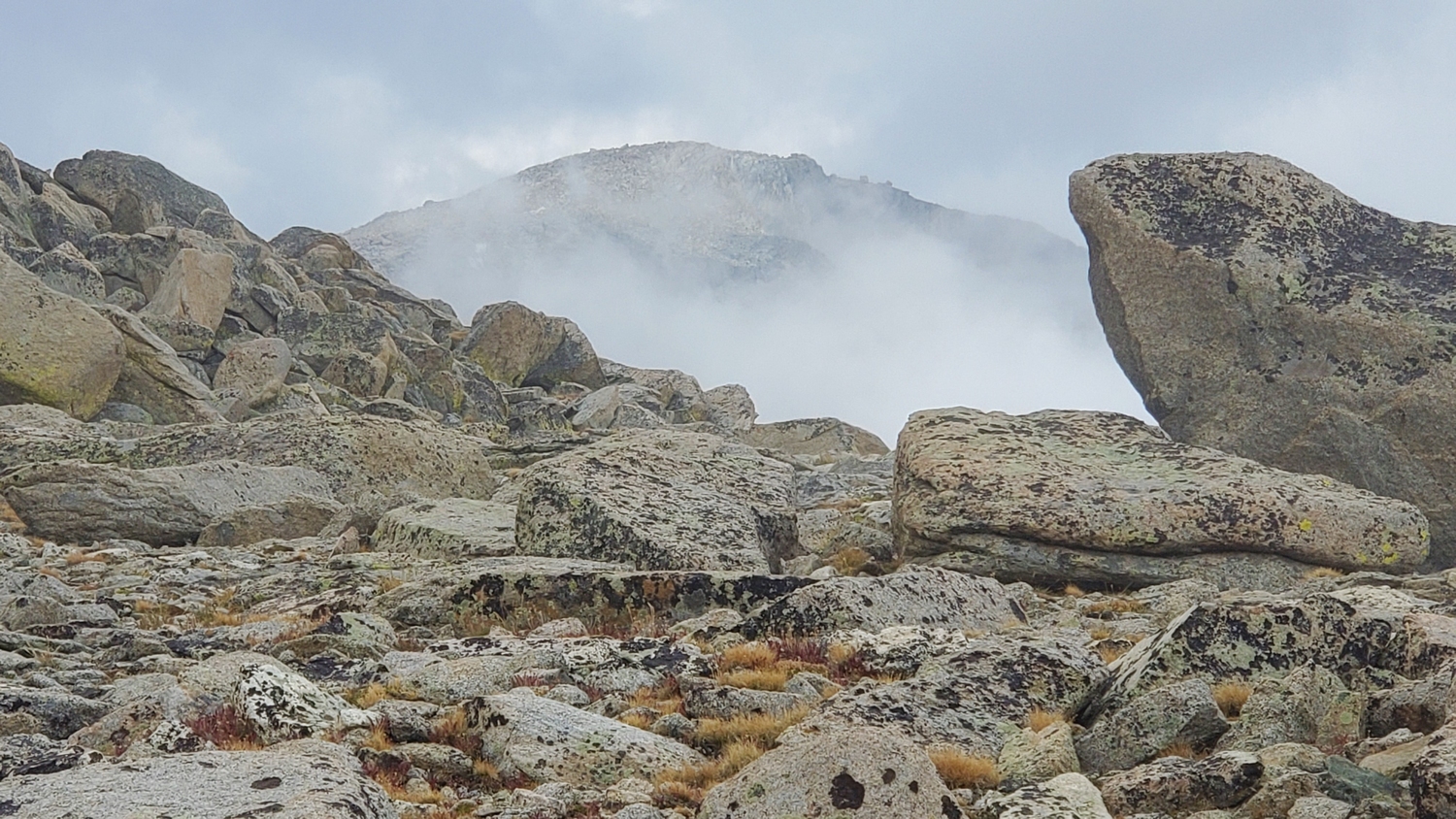
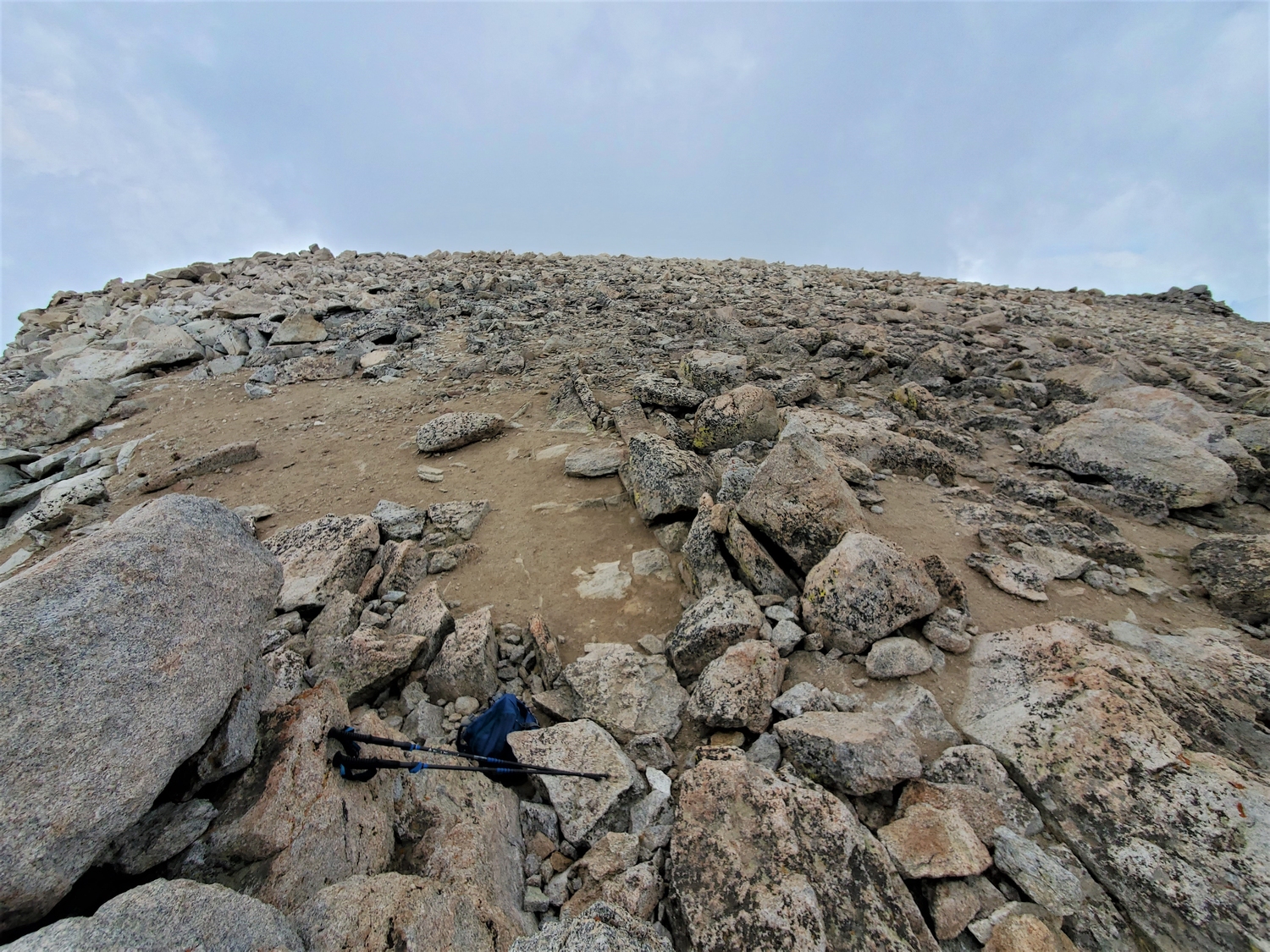
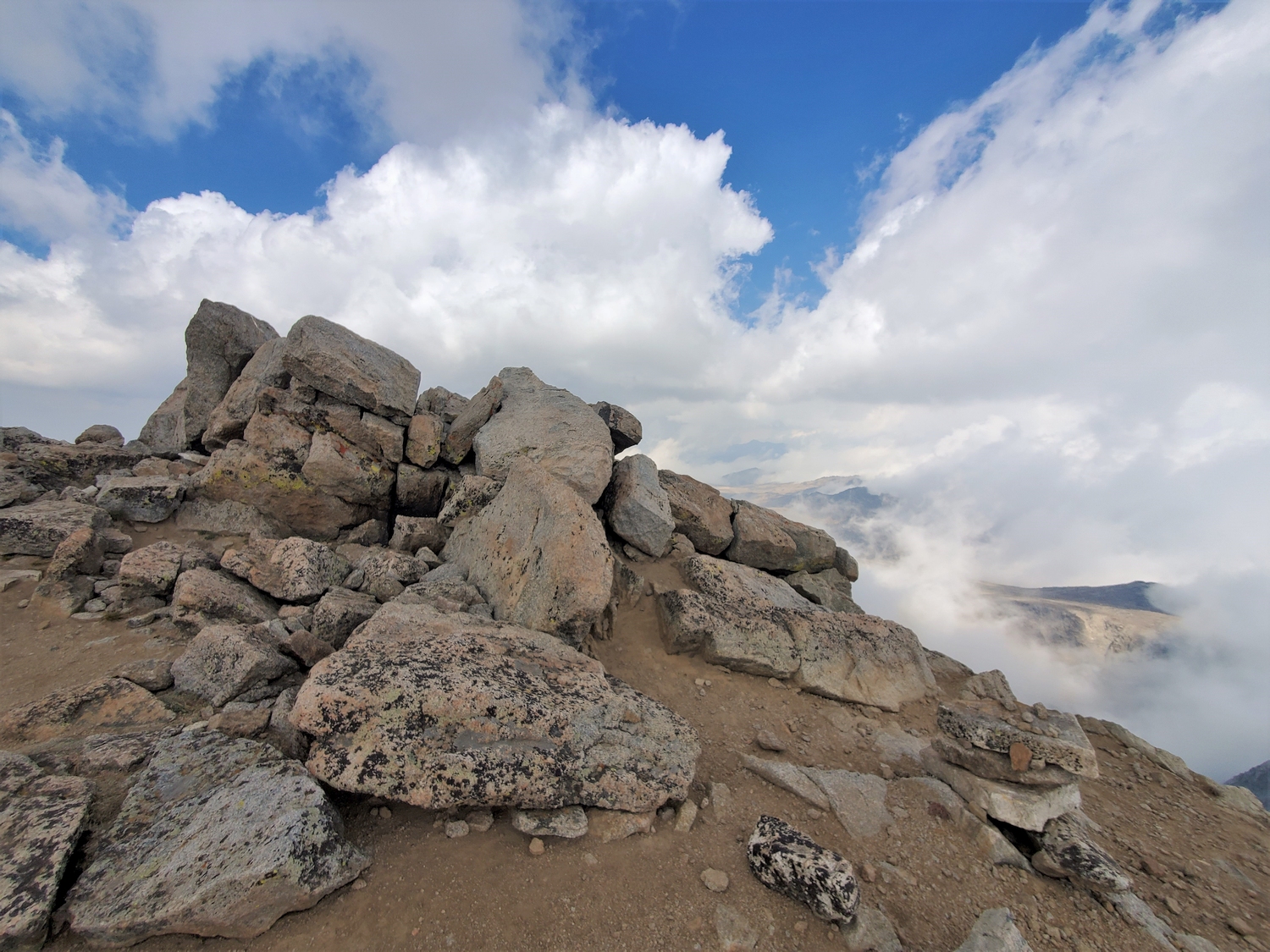
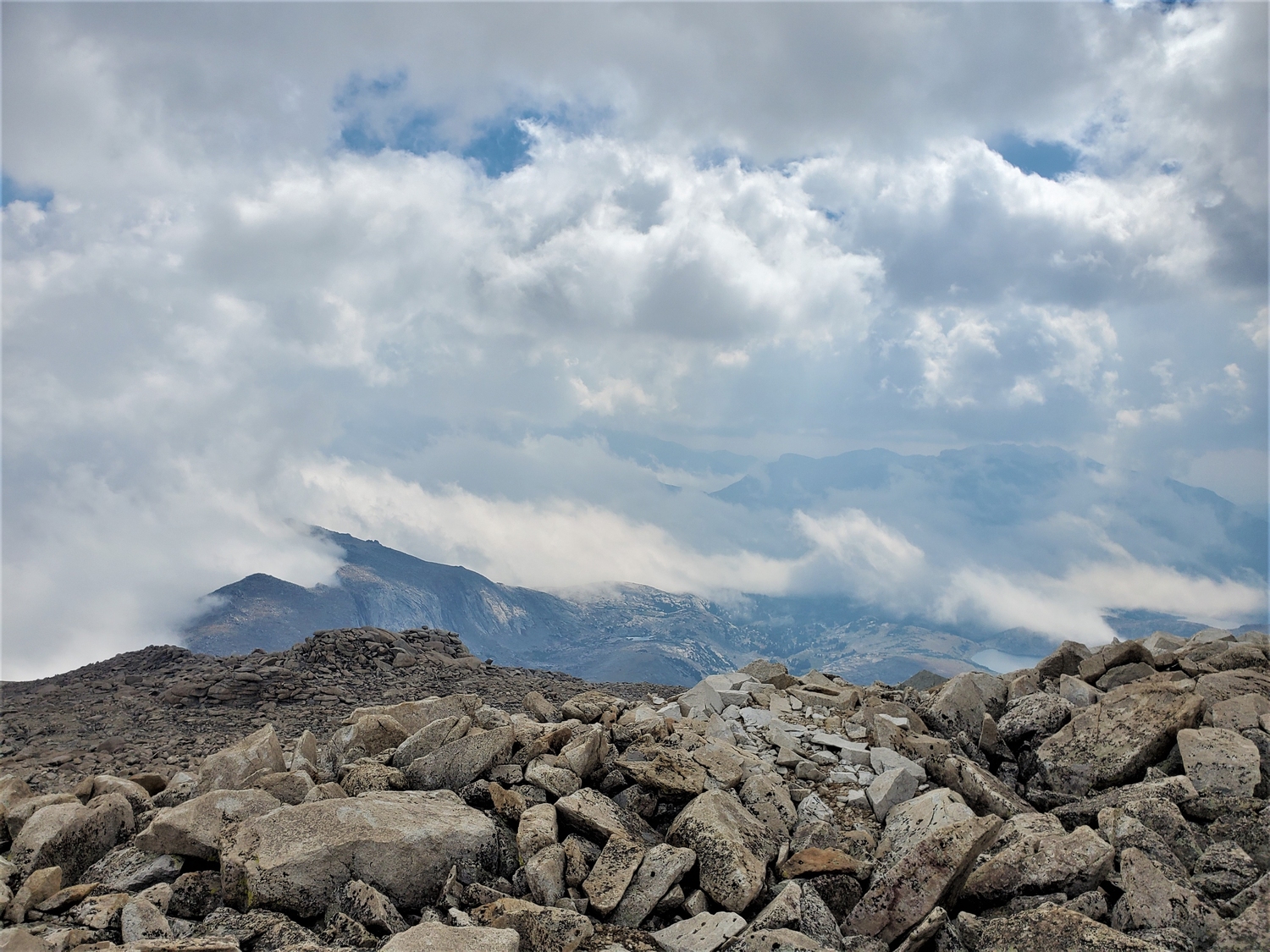
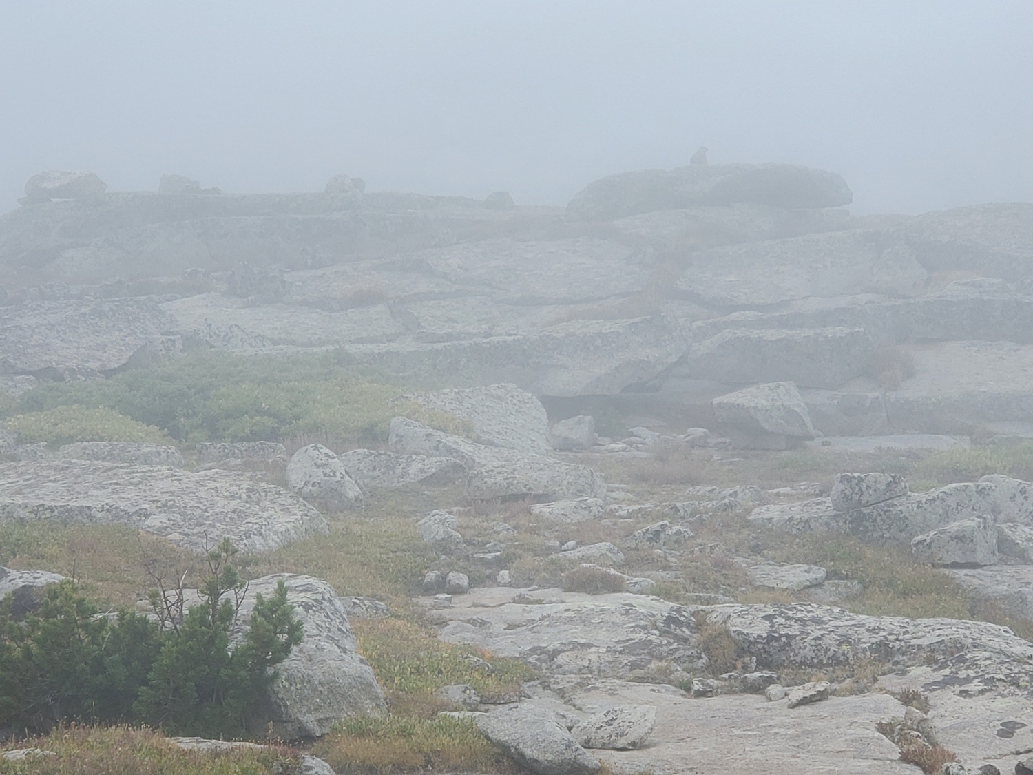
From here, many routes are possible, but most people hike south around the outlet of the first Deep Creek Lake and leave the trail on the subtle pass around 10,600 ft. at the base of Wind River Peak’s massive east ramp. After passing a couple small tarns near treeline, a broad, grassy ramp is encountered which extends from 11,000 ft. to 12,500 ft., where the slope lessens near Chimney Rock. Bypass Chimney Rock and climb the final few hundred feet to the summit over increasingly large talus.
Route 2: South Slopes – Class 2
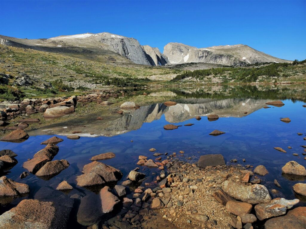
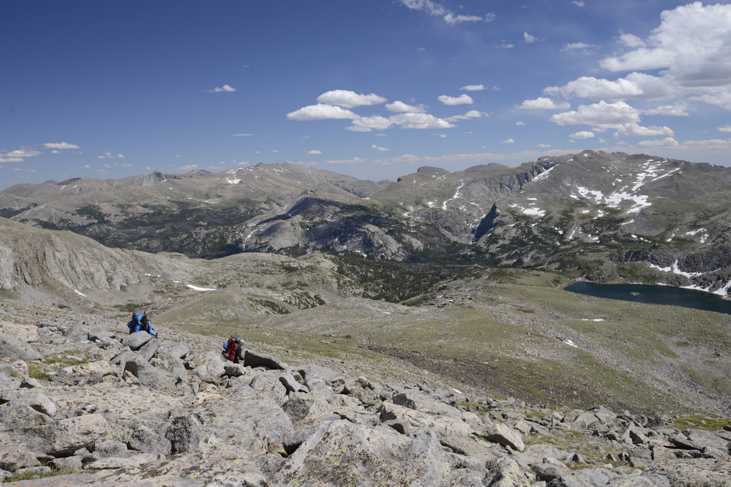
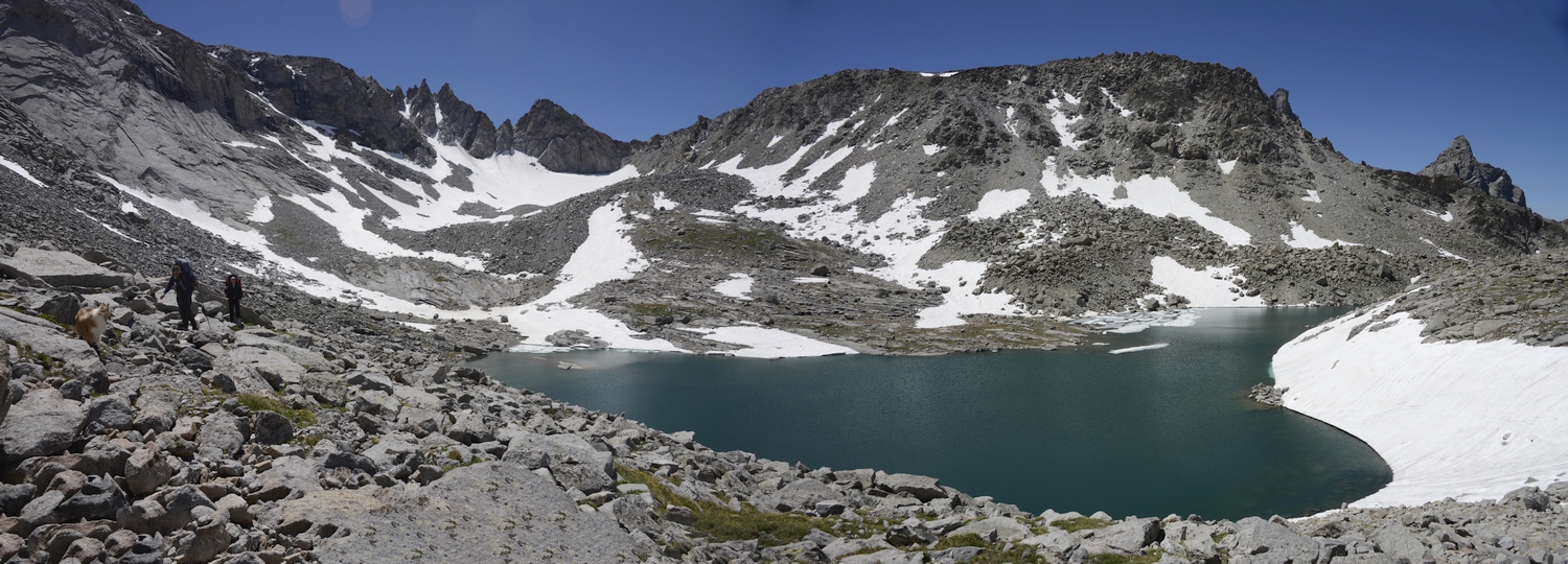
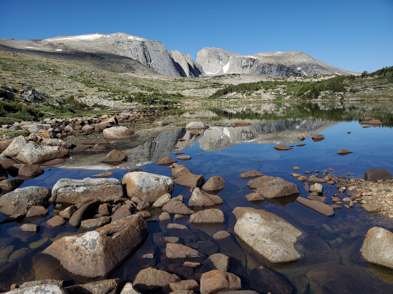
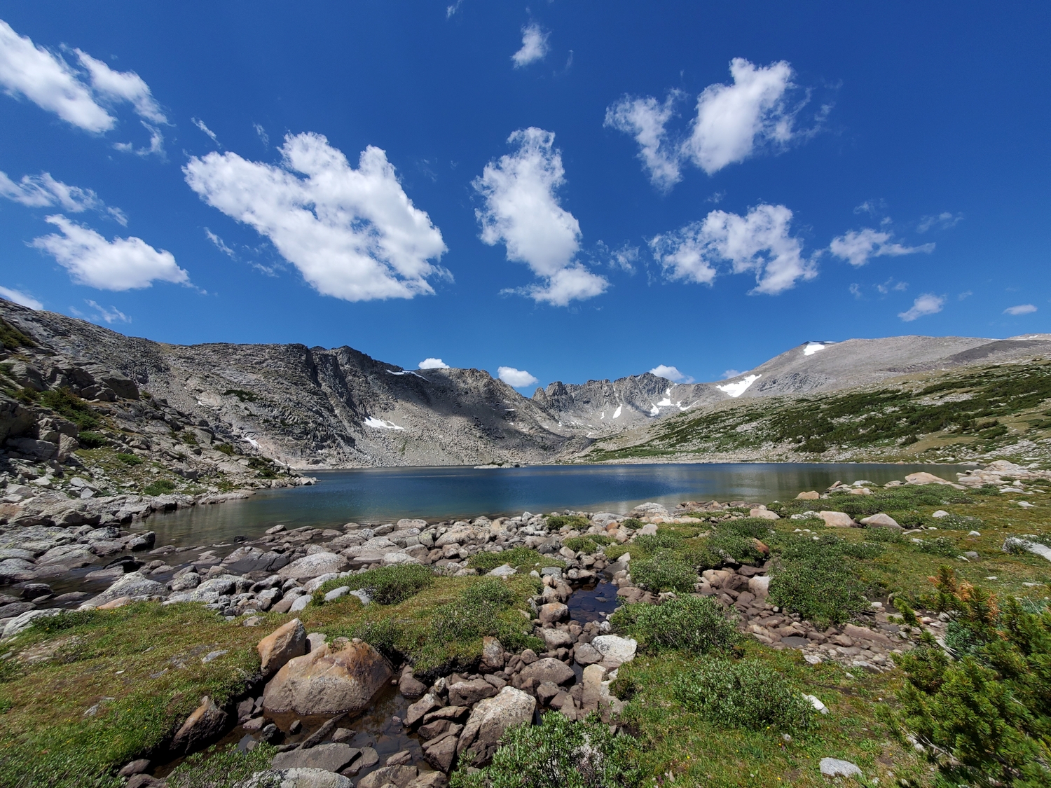
Many options exist to approach Wind River Peak from the south, with the common factor being that you will probably want to start your final ascent from the pleasant shores of Tayo Lake.
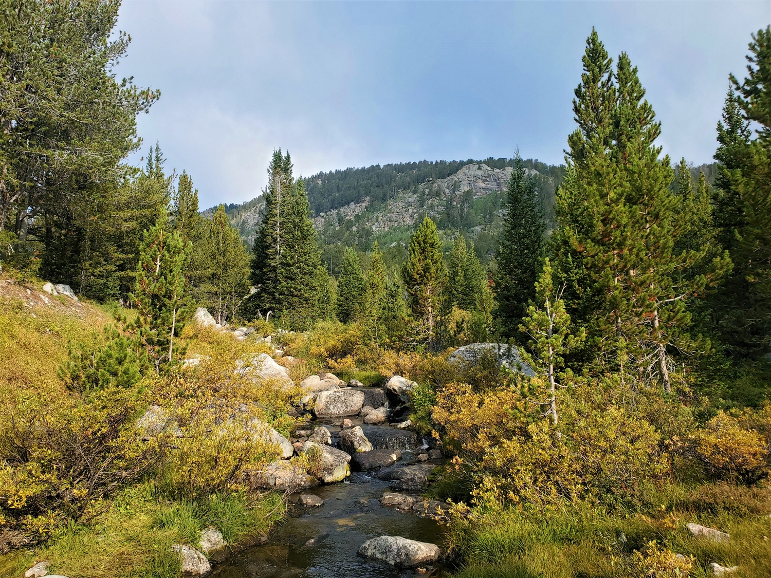
From the Worthen Meadow Trailhead, you can take the Stough Creek Lakes Trail past Roaring Fork Lake and over a small pass to connect with the Stough Creek Cutoff, thence from Tayo Park past Poison Lake and up to Tayo Lake.
From Sweetwater Gap and points south, you can connect via trails to Tayo Park or cut off-trail over a small pass directly above Poison Lake.
From the remote 4wd roads near Blucher Creek on the west side of the range, you can follow a dirt road past Block and Tackle Hill, ultimately connecting with a poorly maintained trail to Little Sandy Lake; after following Little Sandy Creek above the lake, some climbers have climbed talus slopes up the side of the valley to reach Coon Lake, from which Tayo Lake is a short cross-country jaunt.
However you reach it, Tayo Lake makes a good resting place before the final ascent. The route itself is impossible to miss: just go up! A mix of grass and scree down low gives way to formidable boulders near the summit.
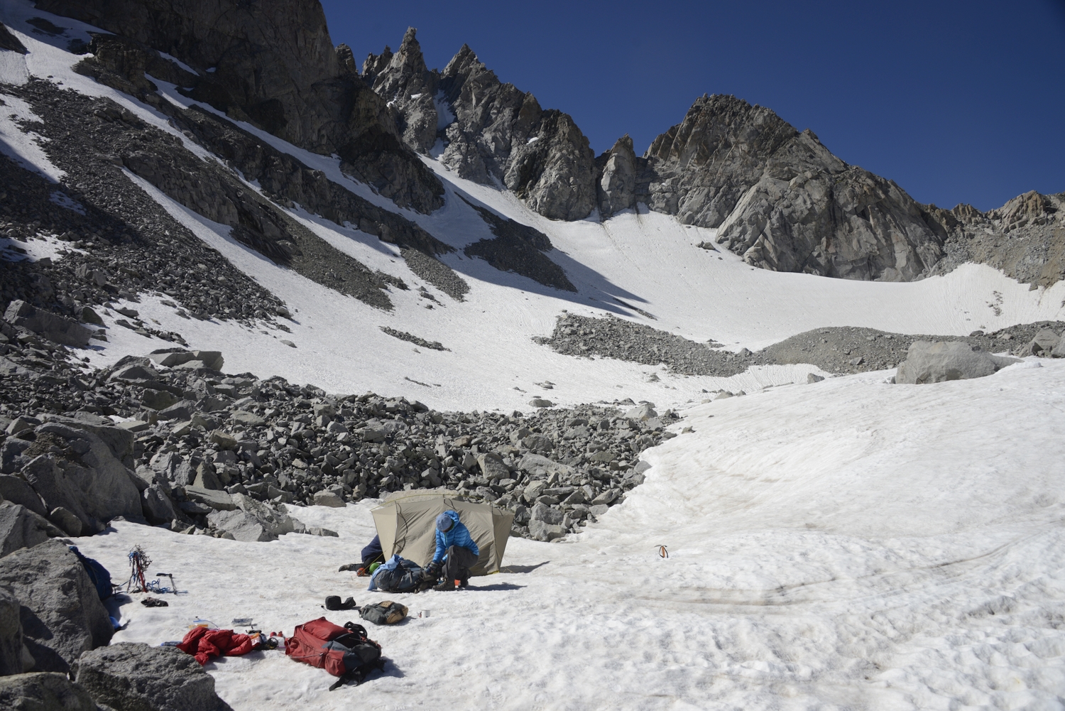
Route 3: North Gullies – Class 2+, Moderate Snow
This is a rather unpleasant route but is nevertheless the shortest way to the summit of Wind River Peak from the north. More elegant options exist for northbound backpackers on a multi-day traverse, but working out the best option for your group is left as an exercise in route planning.
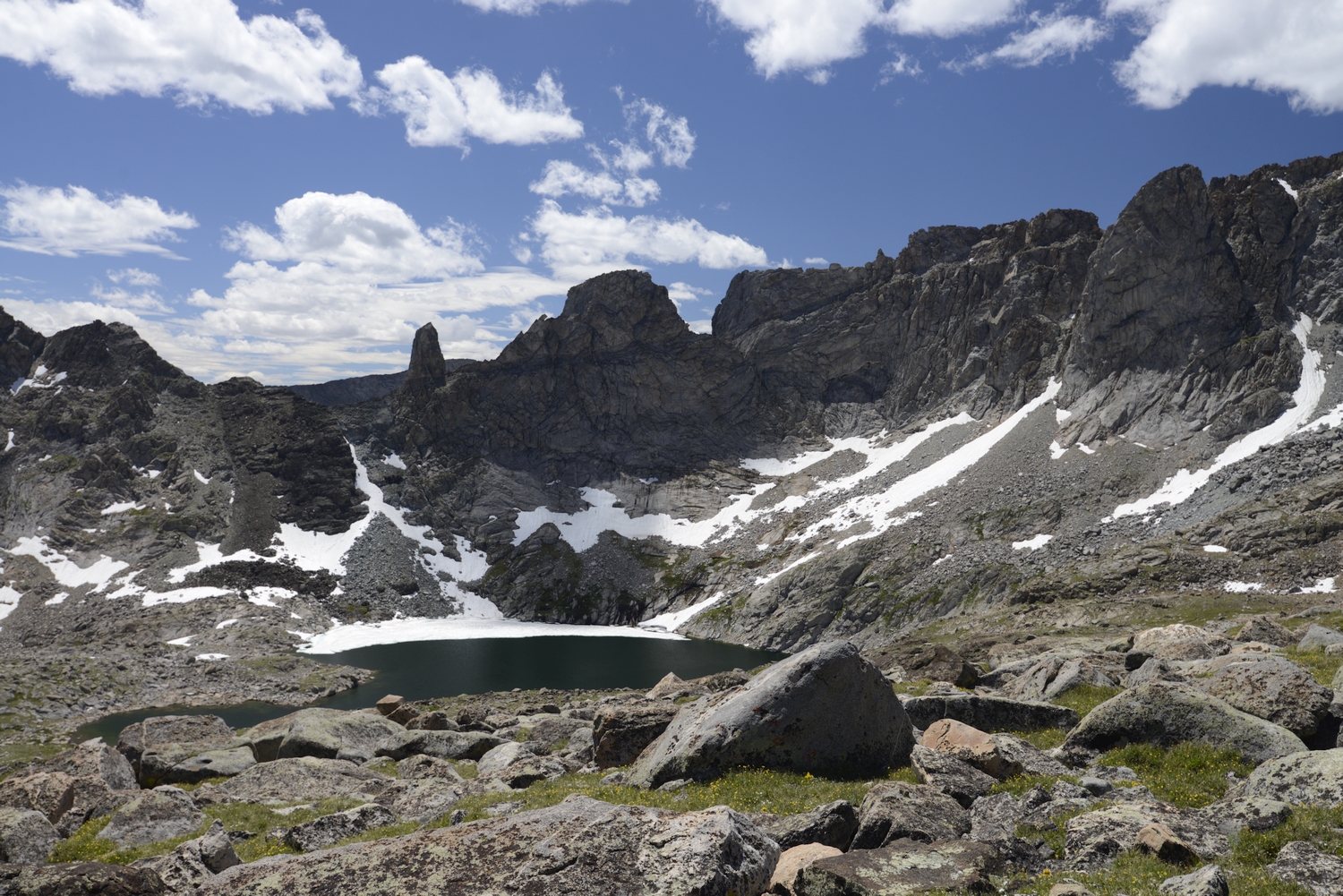
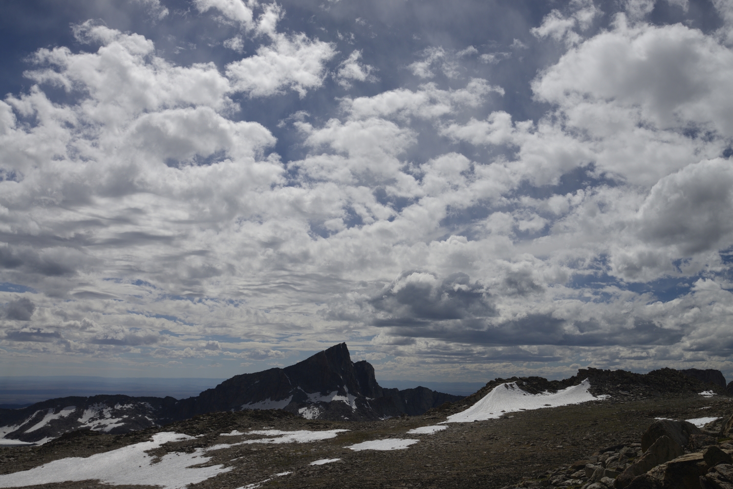
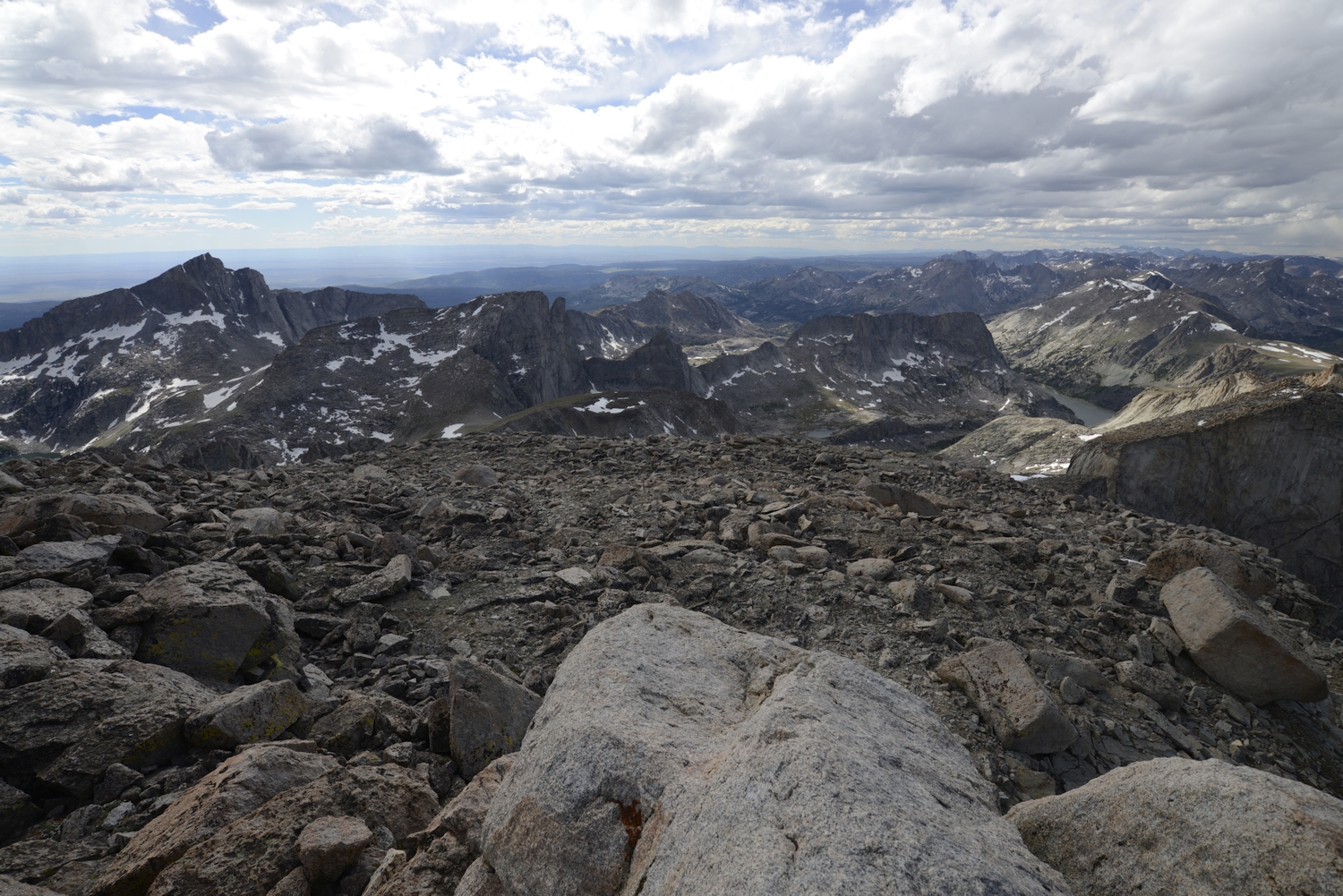
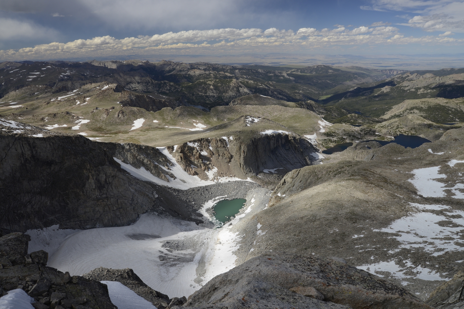
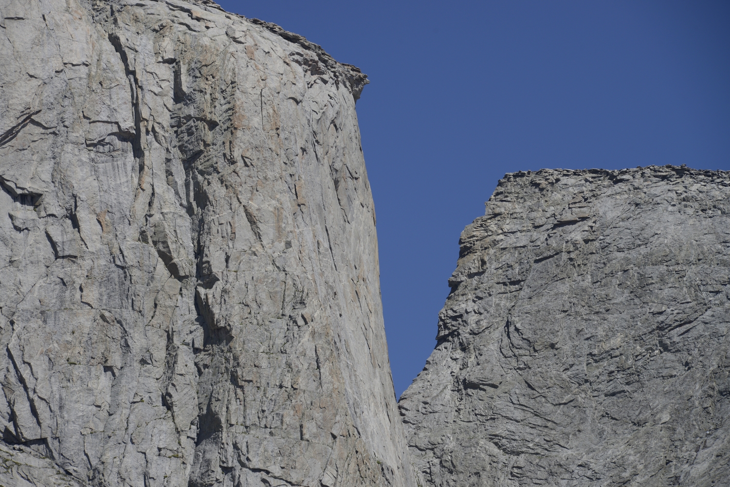
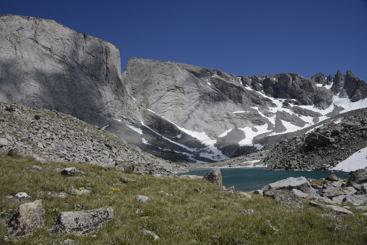
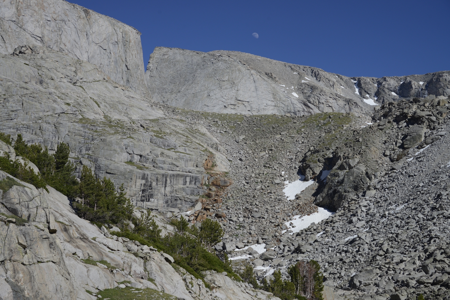
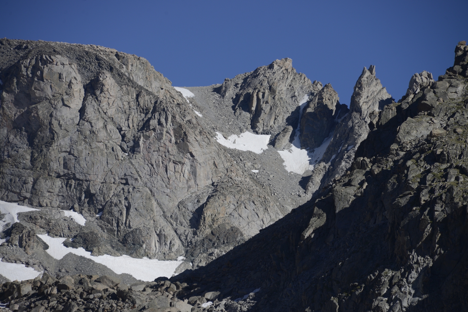
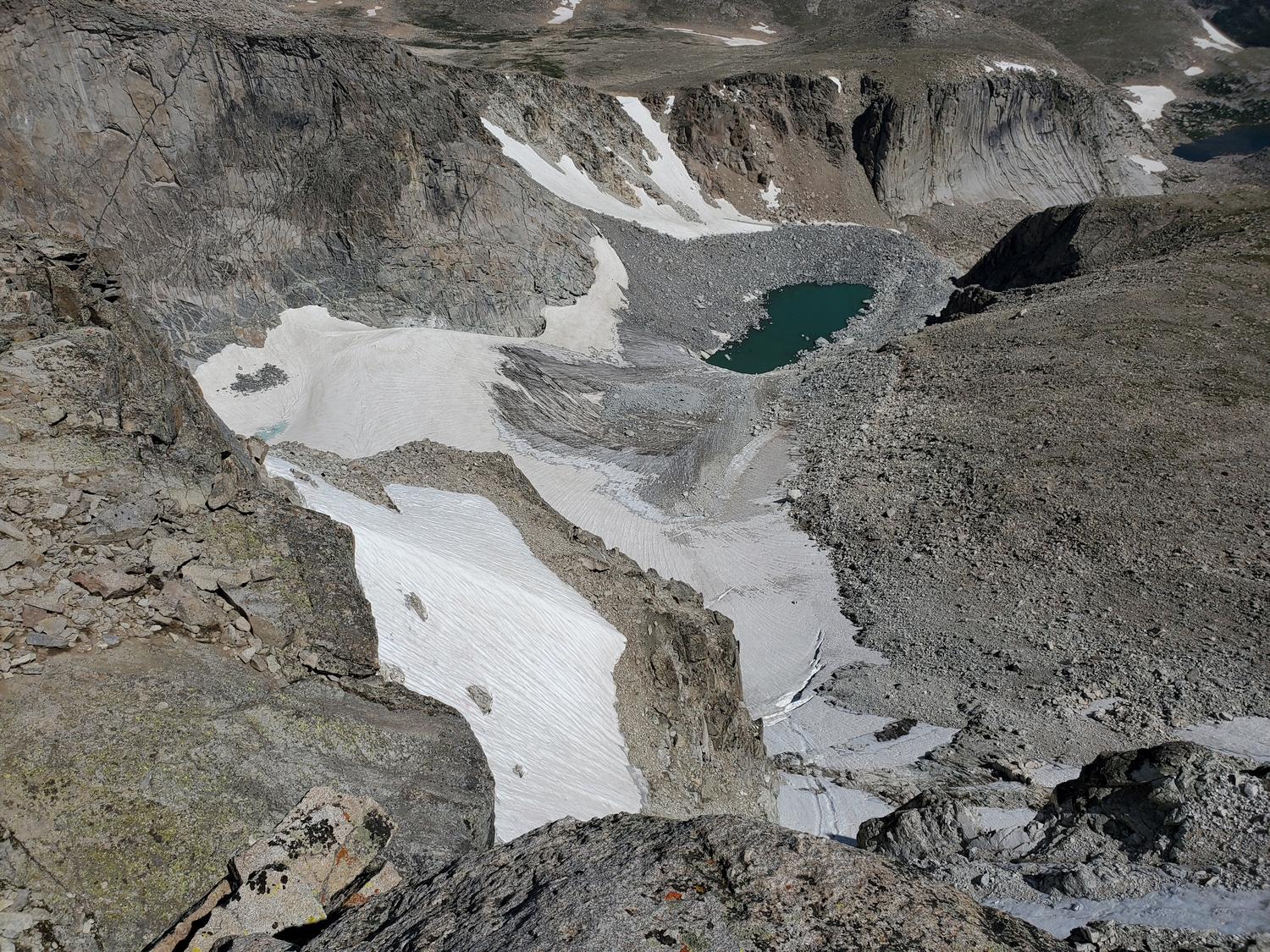
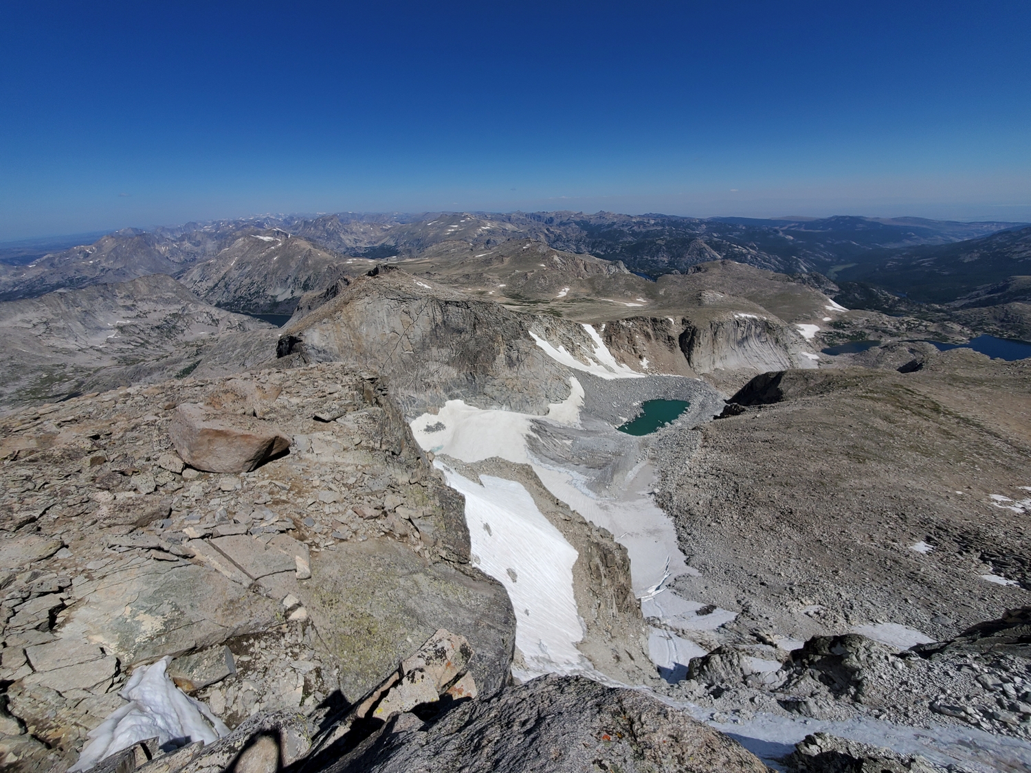
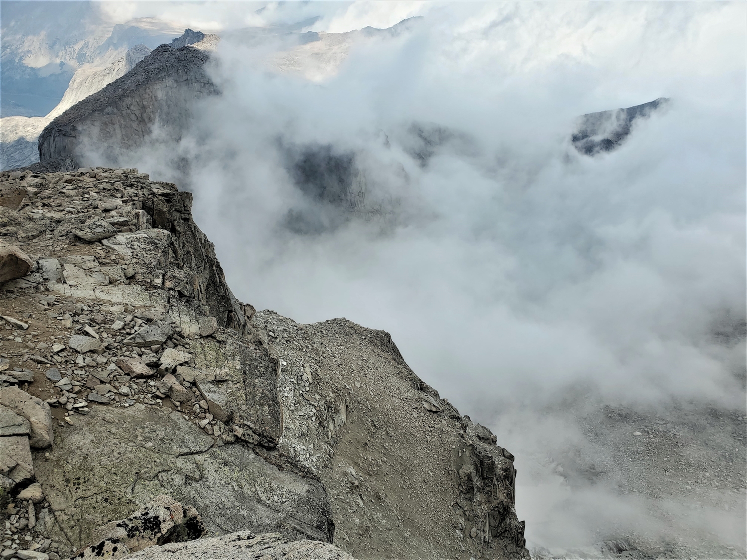
A trail reaches Black Joe Lake from the Big Sandy Trailhead or points to the north. Several miles of scenic but rough off-trail travel up the Black Joe Valley delivers you Lake 11185 below the imposing north face of Wind River Peak. The main peak is separated from a 12er called Little El Capitan by a notch known as Surveyors Gap.
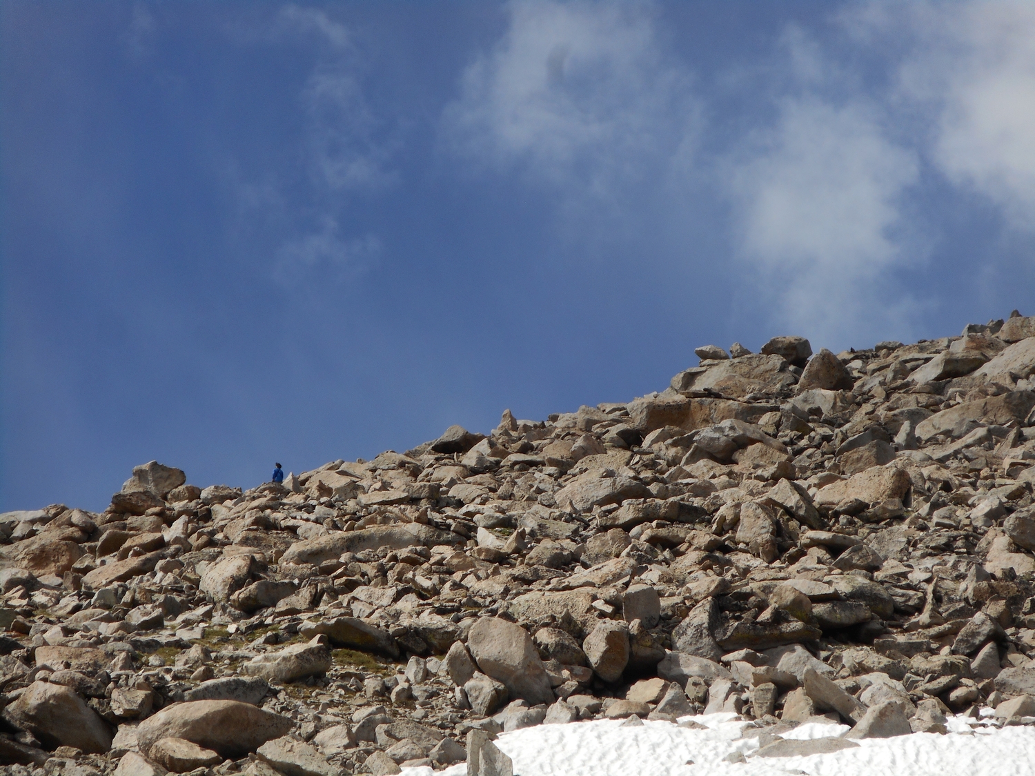
From a snowfield at the head of the cirque, a steep and loose rubble gully cuts through the cliffs, reaching the shoulder of Wind River Peak near Point 12545. From here, the summit is a short hike away. Another gully a bit farther east also breaks through the cliffs and has been used to gain the ridge closer to the summit.
Wind River Peak Map
Wind River Peak Panorama
Wind River Peak Photos
-
- Sweetwater Gap, our camp for the first night of a 26-day traverse, is the first place that the crest of the Wind River Range drops below treeline in the southern end of the range (2016)
-
- Wind River Peak is the only 13,000 ft. peak in the southern Wind River Range, seen here from a little-known pass above Poison Lake (2016)
-
- Backpacking up the south slopes, with bits of Mountain Sheep Lake and Poison Lake visible in the northern cirques of Mount Nystrom, a 12er (2016)
-
- Temple Peak, one of the highest 12ers in Wyoming, as seen from the west shoulder of Wind River Peak (2016)
-
- The summit is that sharp pile of boulders, but I explored various bits of the summit area to make sure I tagged any other highpoint candidates (2016)
-
- The weather has remained stable despite the growing cloud cover, allowing me to nab this summit at almost 4 p.m., much later in the day than I would normally want to be up this high (2016)
-
- Back at the west shoulder of Wind River Peak, beginning the descent of this steep, horribly loose gulley at the head of the Black Joe Creek valley (2016)
-
- After a late-night epic descending the dangerous gulley (complicated by our dogs and large packs), we camped on snow below Wind River Peak’s north face (2016)
-
- Surveyor’s Notch separates Wind River Peak (right) from Little El Capitan (left) and prevents easy travel between these two peneplain remnants (2016)
-
- Telephoto view of the gulley we descended from Wind River Peak–it would be trivial during daylight with a light pack, but dogs and overnight gear coupled with our evening/night descent timing made for a complex adventure (2016)
-
- While Wind River Peak is the only 13er in the southern Winds, what the summits lack in height they make up for with graceful granite architecture, exemplified by Pingora Peak, seen here above Lonesome Lake in the Cirque of the Towers (2016)
-
- Panorama of Cirque Lake with Pingora Peak on the left margin, Mitchel Peak front and center, and Wind River Peak in the distance on the right (2016)
-
- Middle Fork of the Popo Agie River at sunrise on the approach hike to climb Wind River Peak from Worthen Meadow above Lander (2020)
-
- Another one of the upper Deep Creek Lakes, with Wind River Peak rising gently on the left and Little El Capitan on the right, separated by Surveyor’s Notch (2020)
-
- Unnamed lake in the Stough Creek Basin as we complete a trail loop to return to the Worthen Meadow Trailhead (2020)
-
- Wind River Peak is quite far from any trailheads: this telephoto view was taken from a pass still more than 3 miles from the car (2020)
-
- Crossing an unnamed pass between Stough Creek and Roaring Fork Creek, with Wind River Peak framed in the distance (2020)
-
- Departing shot of Wind River Peak basking in evening light above the Worthen Meadow Reservoir (2020)
-
- The famous Sinks of the Popo Agie River, where the stream disappears into a limestone cavern, resurfacing a half-mile farther down the valley (2020)
-
- The east-side approach to Wind River Peak starts with the Sheep Bridge Trail, which crosses the Middle Popo Agie River on the pseudonymous bridge after a few miles.
-
- Beyond Sheep Bridge, we follow the Middle Fork Trail for several more miles. Dense fog sat over all the higher mountains.
-
- Foggy forest views characterize the next couple hours. It’s mindless hiking, but at least I have someone to share the time with today.
-
- I’ve always liked foggy weather in the autumn. While I wished for good climbing conditions, I couldn’t help but enjoy the softness of the autumnal scenery all around.
-
- Just enough blue sky broke through to reflect in this tributary of Deep Creek, nicely contrasting the yellow willows and grasses.
-
- After hiking the first 12 trail miles together, my mom waited in a patch of forest just below treeline near one of the Deep Creek Lakes while I continued on to the summit. The cloud base was around 10,400 ft., so by now we were enveloped in damp, chilly fog.
-
- Leaving the trail, I climbed up the broad east ramp of Wind River Peak. The visibility was so low, and the terrain so uniform, that I had to keep watching the GPS on my phone to make sure I was on the right route.
-
- Oddly enough, I actually had cell service here, and I checked the weather satellite images to see what I could expect up higher. It looked like the clouds ended right at the Wind River crest, which meant that I had a chance of clear weather on the summit. Teases of blue sky above confirmed my hopes.
-
- It was a cool moment when I finally climbed above the clouds around 12,400 ft., just below Chimney Rock. These clouds were so different from yesterday’s: instead of convective thunderheads, these were low-lying fog banks that blanketed the whole Wind River Valley thanks to the influx of cool air.
-
- I got my first view of the summit as I bypassed Chimney Rock. Wind River Peak is one of the most mellow Wyoming 13ers, but fog can alter the perception of scale, and it seemed like a towering giant from this perspective.
-
- I wasn’t above all of the clouds, but at least I had climbed out of the fog, and I even got some sunlight as I climbed the last few hundred feet up Wind River Peak.
-
- Looking back to Chimney Rock, an oddly named sub-summit around which I traversed. It seems more like a rounded knoll than a chimney…
-
- Through breaks in the clouds, I occasionally had views of the proglacial lake at the base of Wind River Glacier far below.
-
- Soon enough, I scrambled up the last bit of blocky talus and reached the summit plateau. The high point is that pile of rocks in the distance.
-
- The view north from the summit was mostly obscured today, but I could see as far as the Cirque of the Towers, and the low clouds accentuated the sharp ridges of the southern Winds.
-
- It’s always fun to look down at a cloud from above. This view looks towards Little El Capitan, a 12er separated from Wind River Peak by a huge notch called Surveyors Gap.
-
- Wide-angle view from the high point overlooking the summit plateau. Despite being fairly flat on top, the summit boulders stick up enough that they’re the clear high point.
-
- Closeup of the summit boulders. I spent almost a half hour on top, eating some snacks and letting my surroundings sink in.
-
- As the cold front moved in from the north, it ran into the steep spine of the Wind Rivers. This resulted in a sharp dividing line along the range crest, with dense fog on the northeast side and light, puffy clouds floating over the southwest side.
-
- Once again, I relied on GPS to navigate the foggy lower mountain. Here, a marmot is barely visible on the skyline, the only sign of animal life above treeline.
-
- I really enjoyed watching autumn arrive in the alpine during this project. This willow and pine made an elegant deciduous/evergreen contrast.
-
- The fog seems to have descended lower while we were on the mountain, and we continue through a cold mist for most of the hike out. Even with raincoats, we get rather wet from the ambient moisture.
-
- The first snowfall dusts the trail and brings a feeling of magic to the woods. It’s a gentle reminder that everything flows forward, everything changes, everything is on the clock.
-
- It was really coming down fast by now, but we were only a few minutes from the parking lot and didn’t care about staying dry anymore.
DISCLAIMER: Mountain climbing is dangerous. Activities described on this page may lead to serious injury, death, and property damage. This webpage is presented with no warranty express or implied. Pictures and text are for entertainment purposes only. No commercial use allowed; all rights reserved.