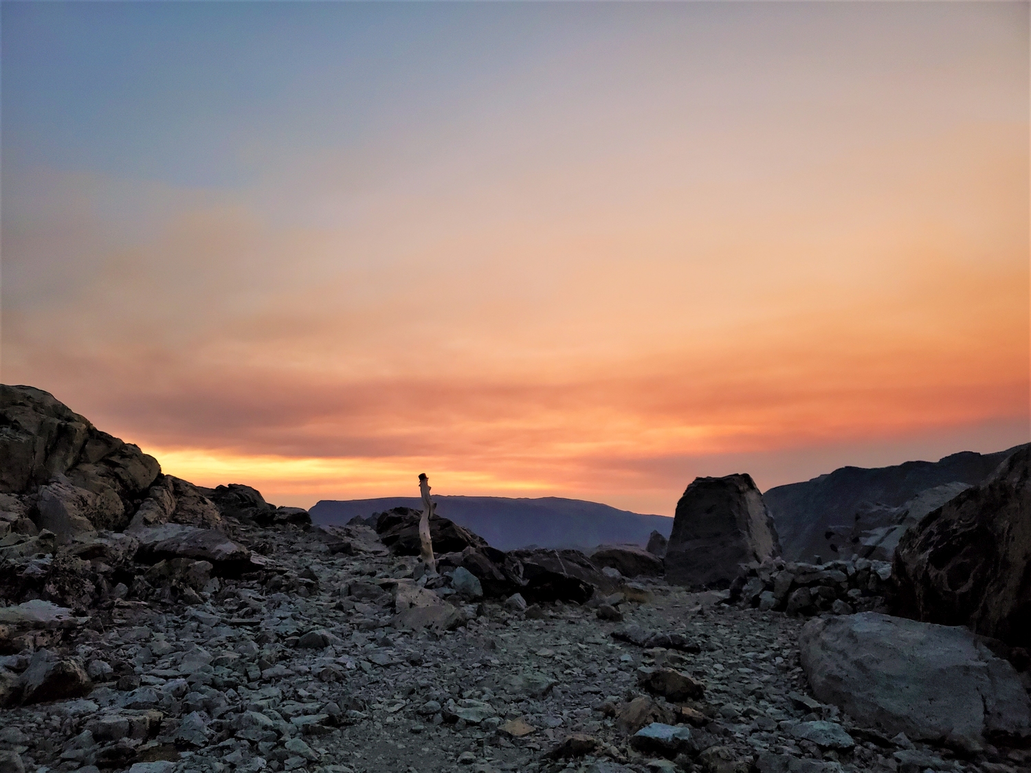
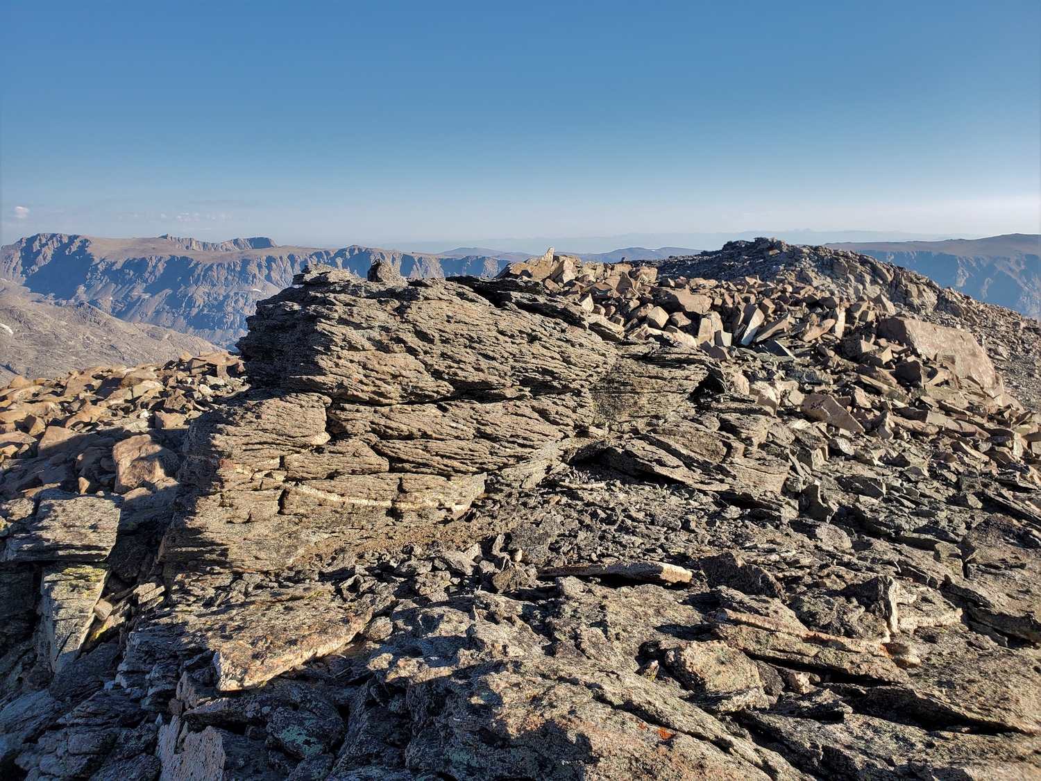
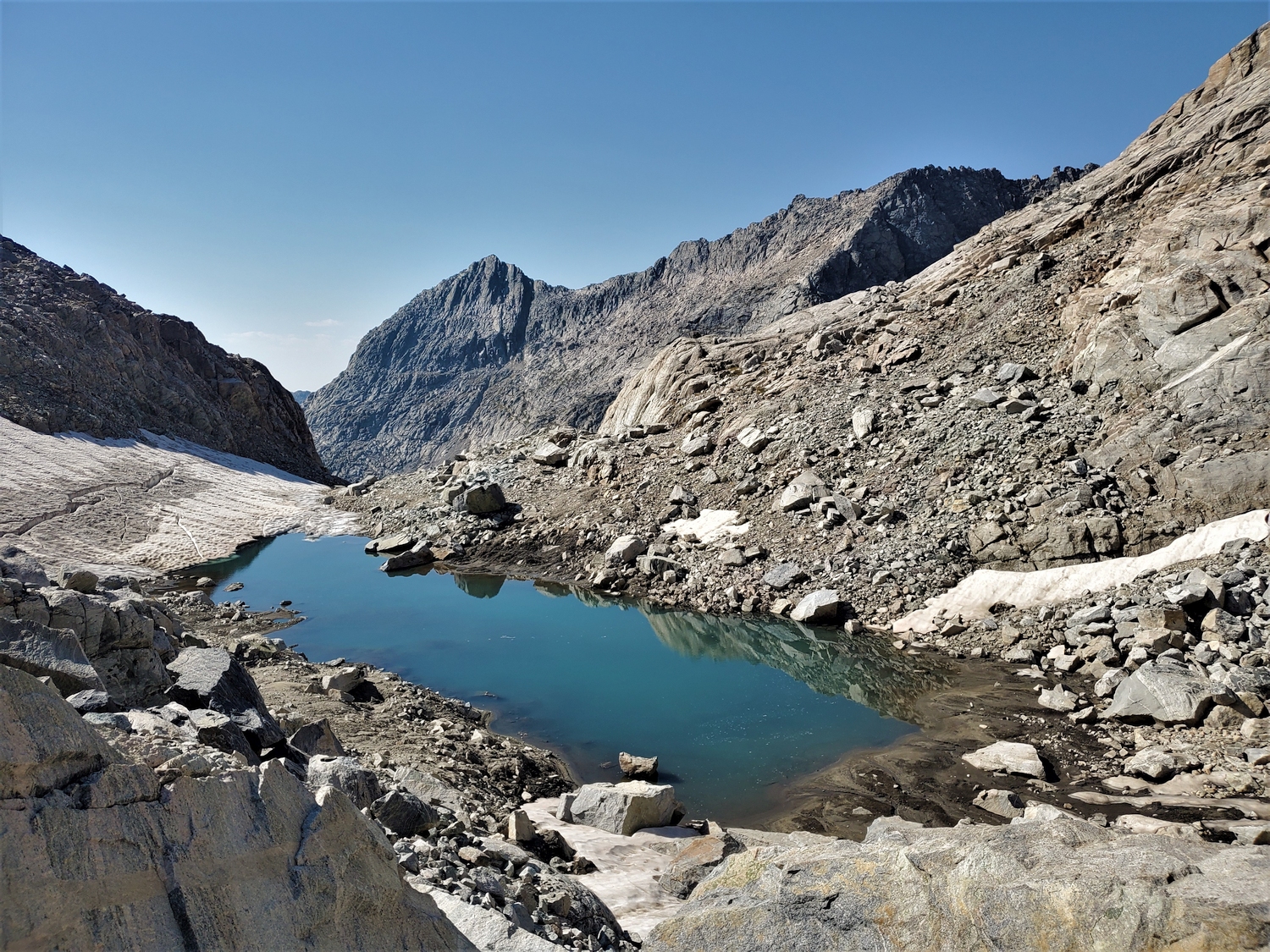
This would be my last day in the northern Wind Rivers. It was bittersweet–the 13ers in this area are my favorite mountains anywhere, but I was ready to leave.
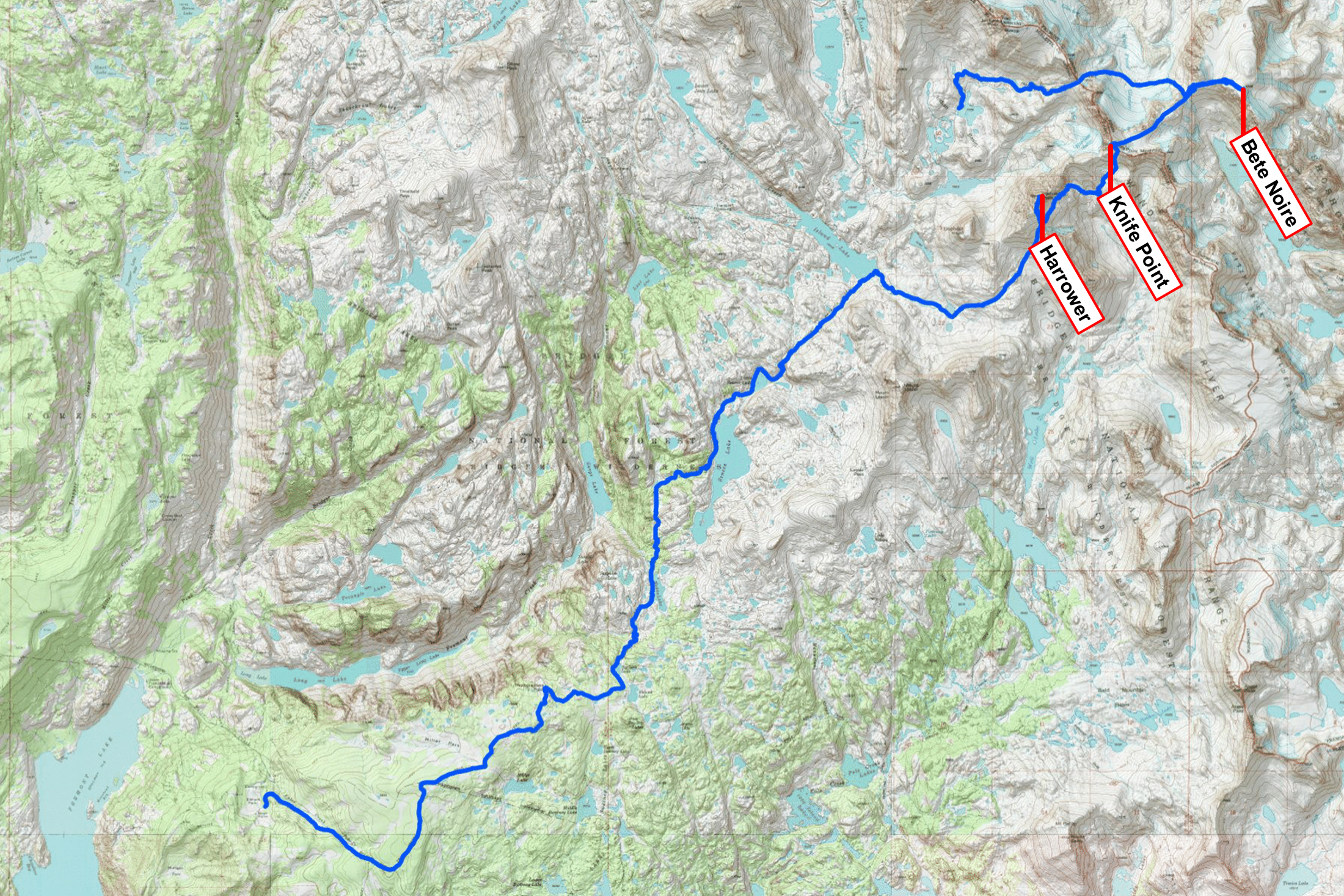
The Wyoming 13ers FKT can be broadly divided into two phases: a mountaineering tour through the northern Wind River Range, and a road-trip across west-central Wyoming to pick up the remaining scattered peaks. There are 31 ranked 13ers in the northern Winds, and I had climbed 28 so far, leaving just 3 to tag before hiking out. I planned to make a loop over the remaining peaks from Indian Pass to Island Lake, while my mom would graciously pack up camp and and hike down to meet me. Then we’d hike out together, meeting my dad at the trailhead with the RV, which we’d use as a mobile base for the second phase of the quest.
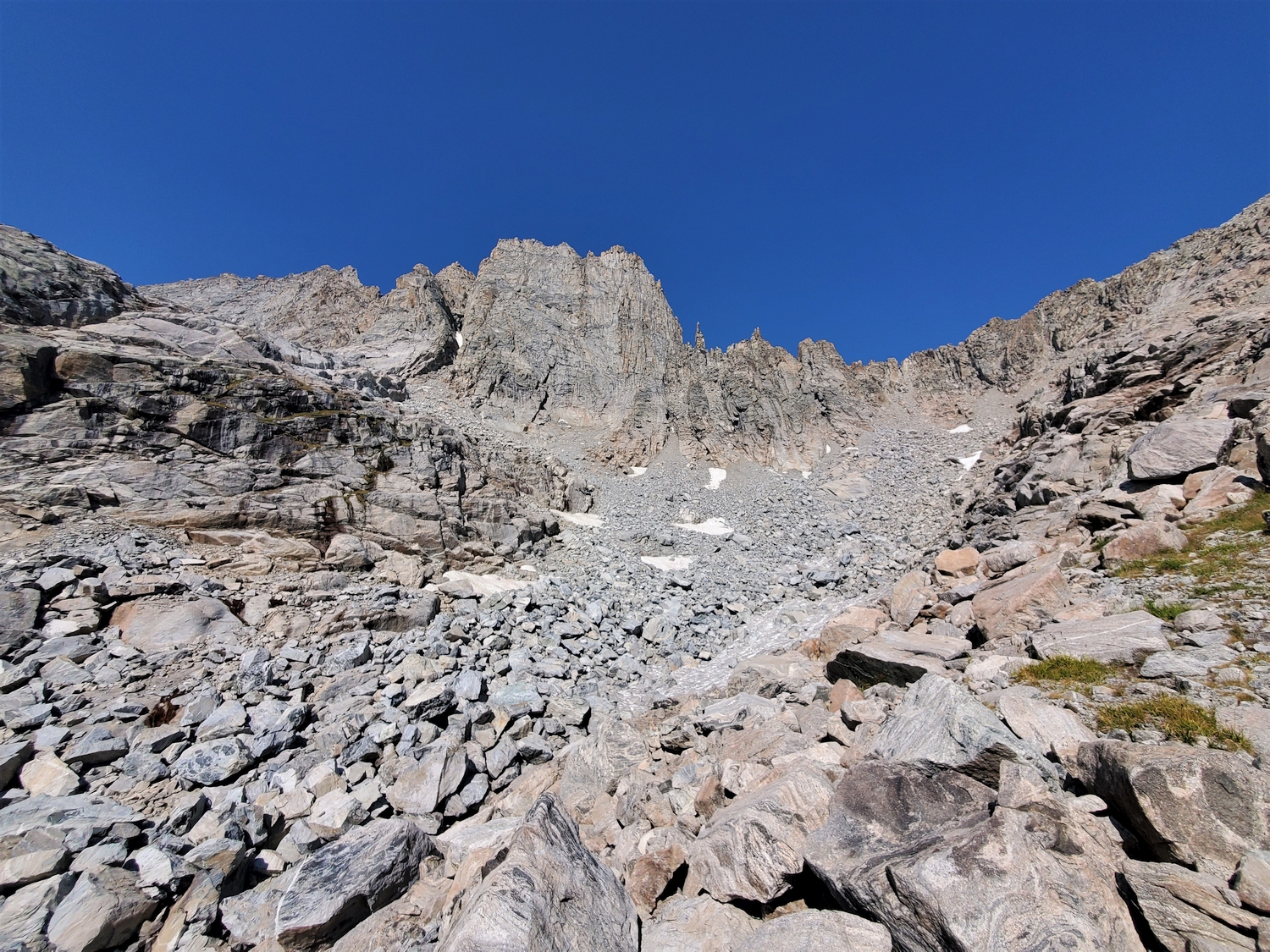
This morning, I woke up a bit earlier, around 4:30 a.m., and I started up the trail by headlamp a little after 5. My cough was getting worse each day, presumably from some mix of exercise-induced asthma and aerobic overexertion, so I had to hike slower than I wanted in order to minimize my coughing fits. It wasn’t too far though, and soon enough I was watching sunrise from Indian Pass.
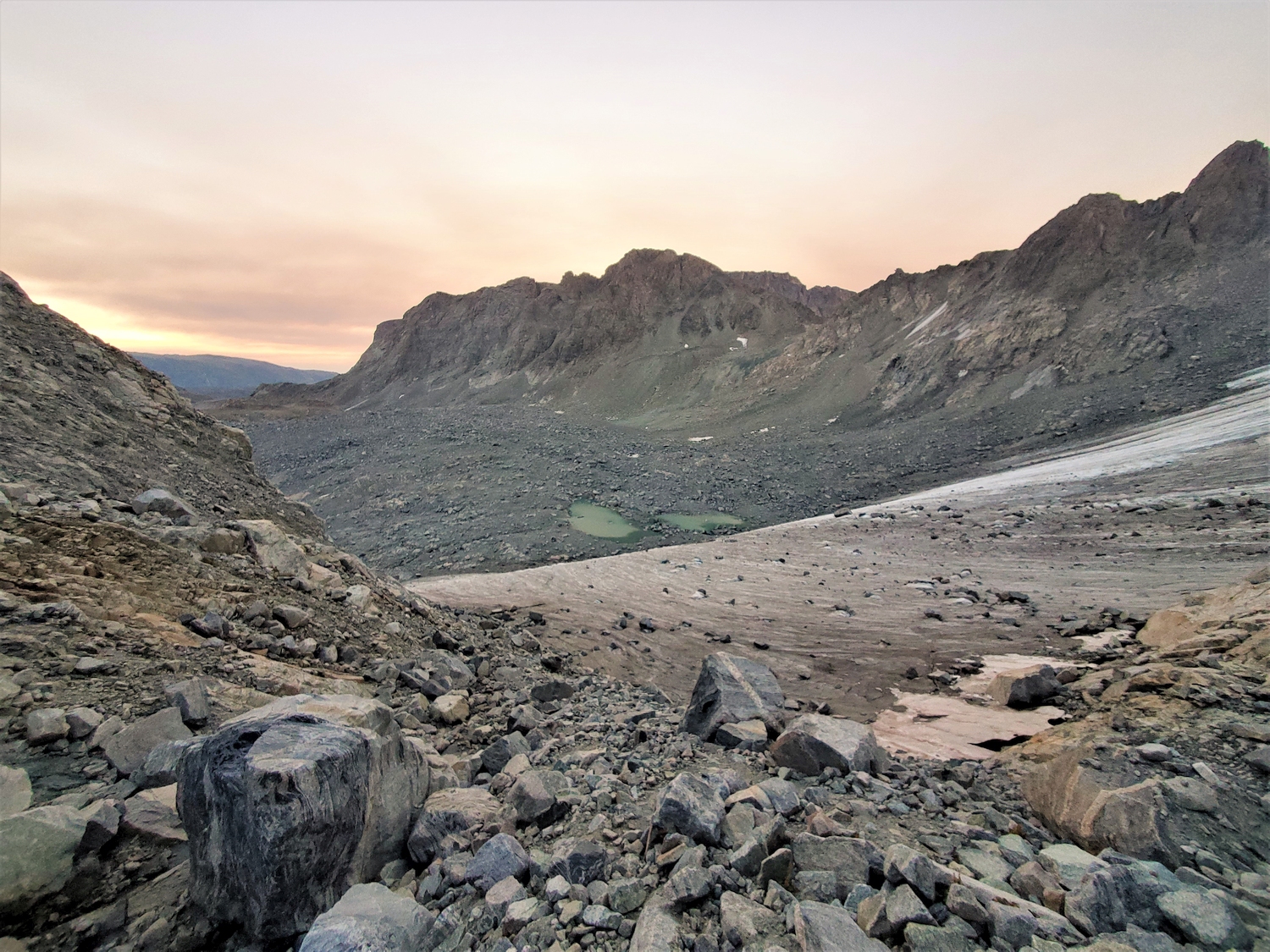
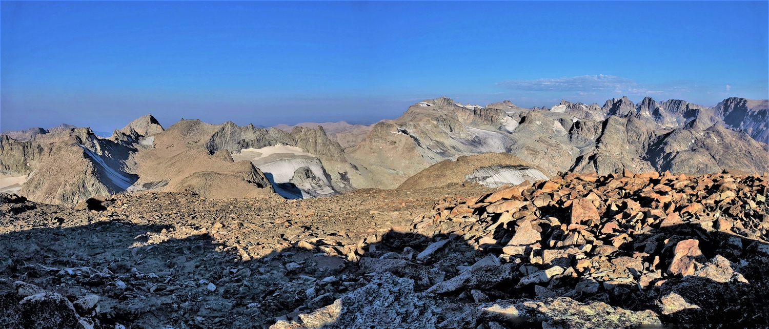
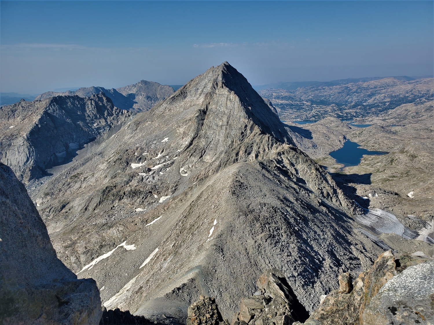
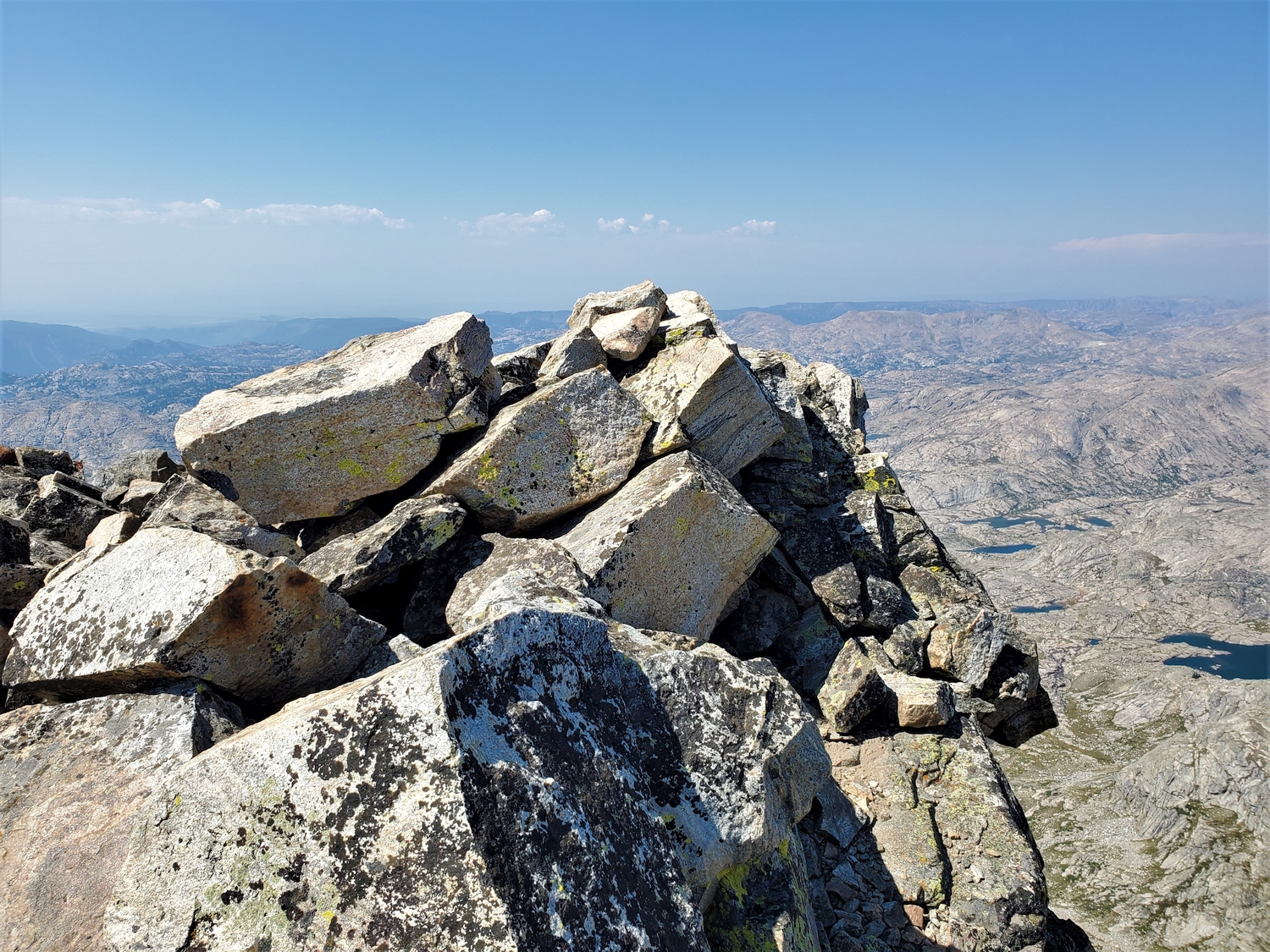
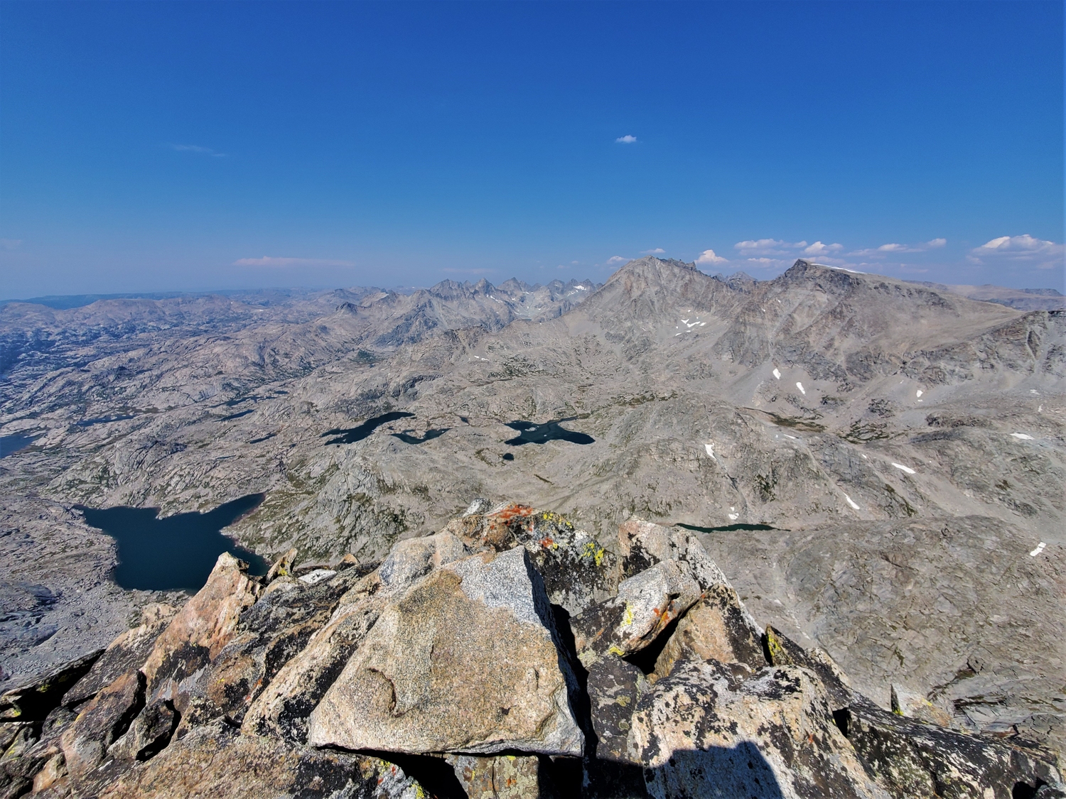
Summit panorama from Bete Noire. This peak is much-maligned as boring and out of the way, but it has one of the best views in the range. More than a dozen 13ers are visible from here, spanning the whole Bull Lake cirque from Knife Point to Febbas.
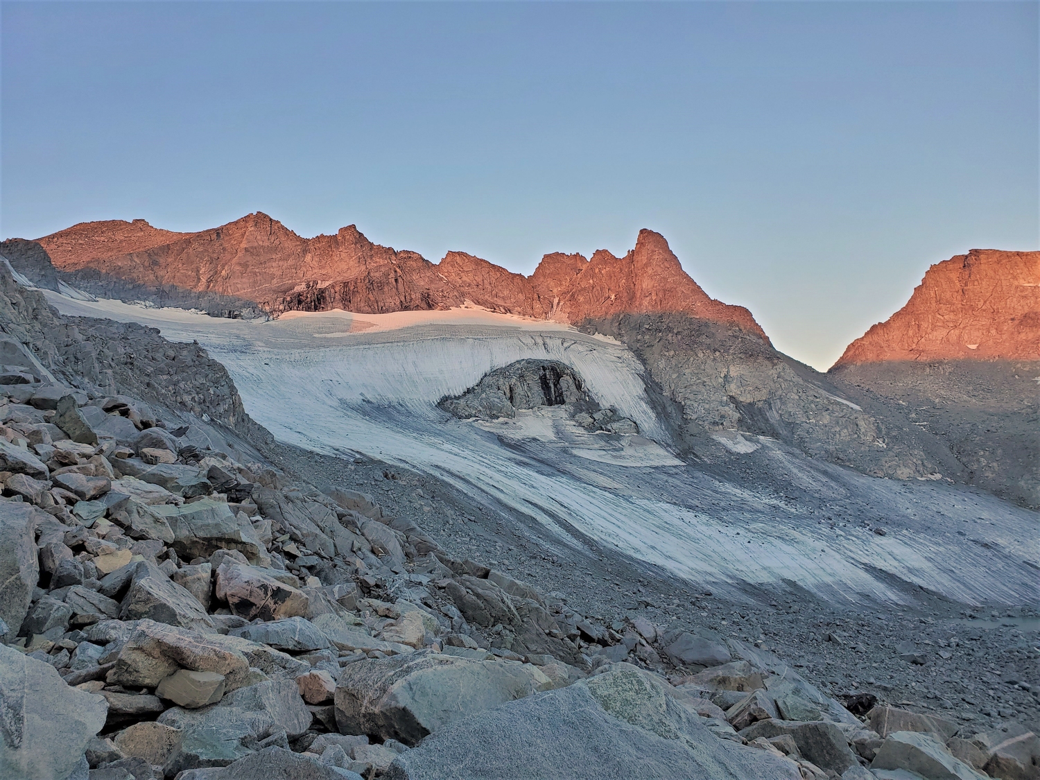
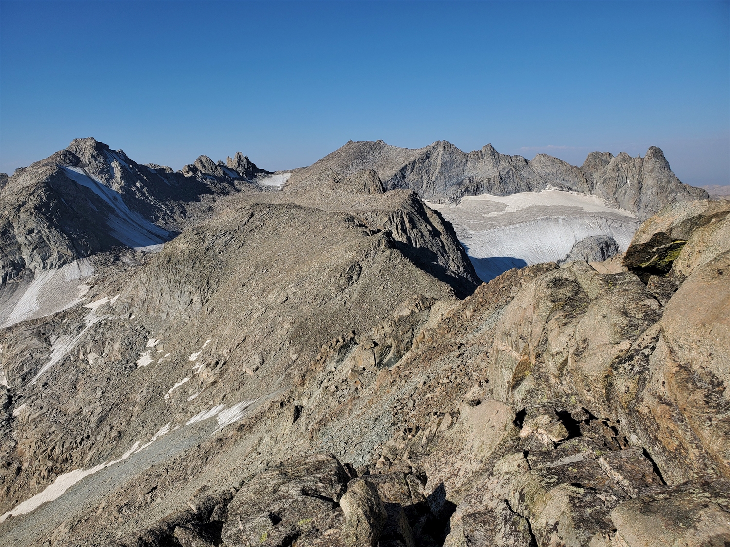
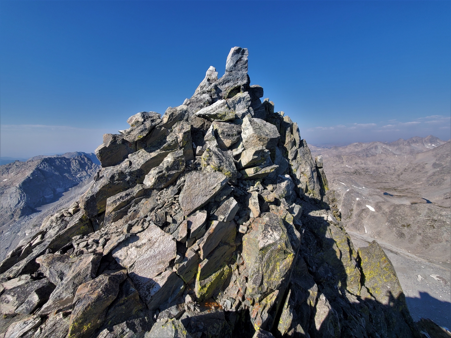
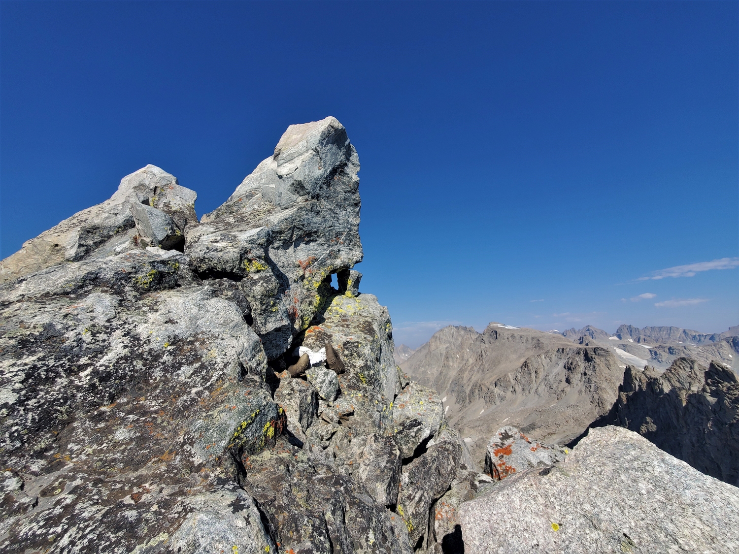
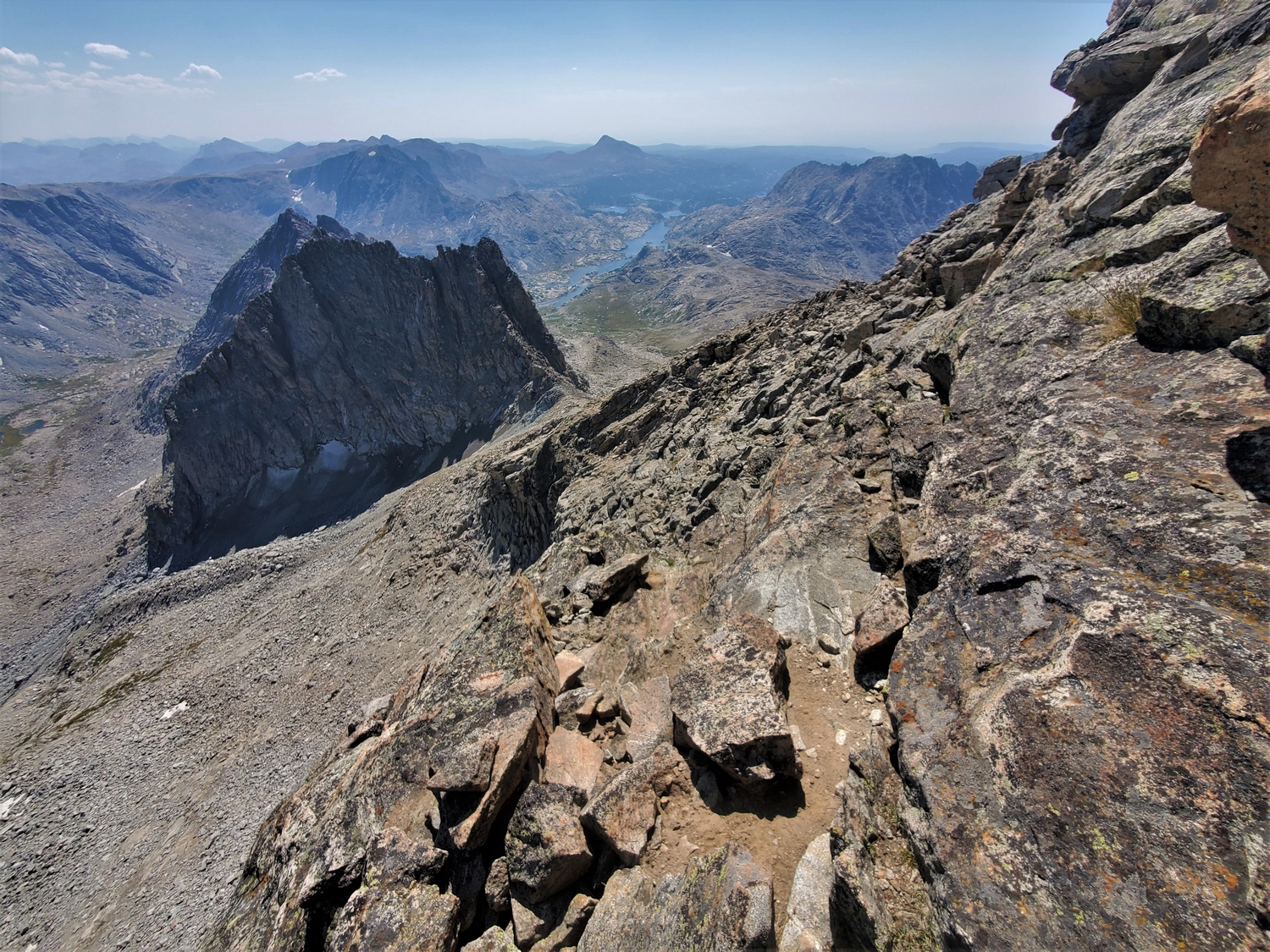
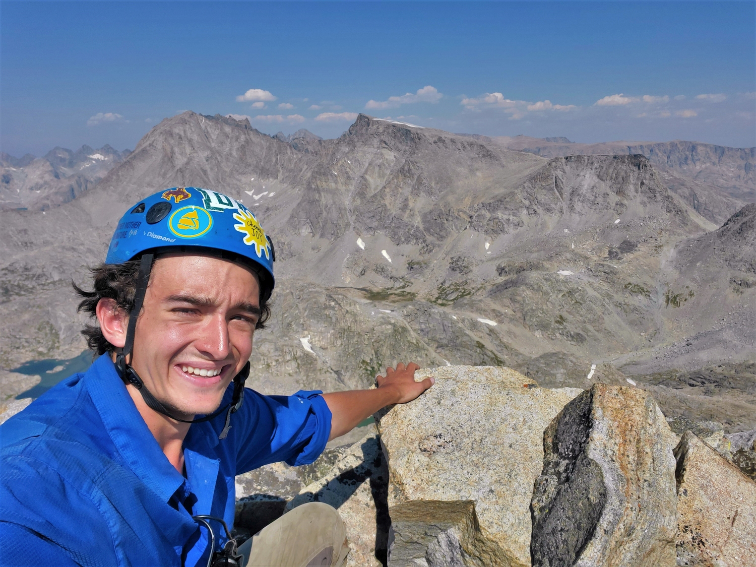
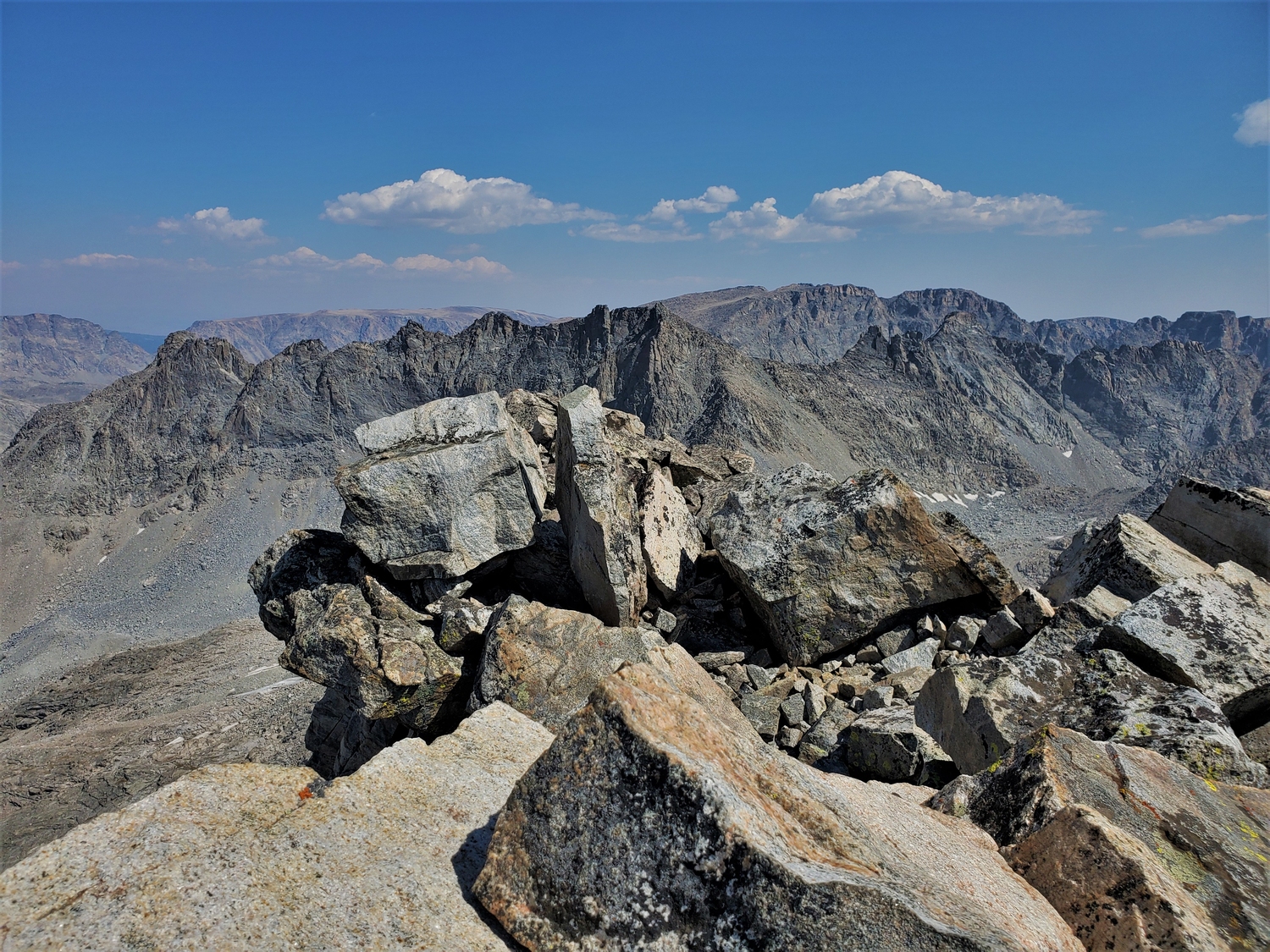
It was an amazing feeling to climb onto the summit of Harrower Peak, 6 days and 31 summits into my 13er quest. I think I nearly cried tears of joy! After all the doubt and stress about whether I could do it, here I was, sitting on my last summit and looking out at a sea of peaks I had just climbed. It was sweet redemption to finish the northern Winds on Harrower after my ill-fated start on this peak in August, and I savored every moment spent on top.
Of course, this was only my last summit in the northern Wind River cluster, a fact that was not lost on me as I mentally formulated a plan for the remaining peaks. The weather had been perfect for nearly a week, but the forecasts showed a rapid turn for the worse. In fact, the Bighorns were supposed to get 10-20 inches of snow in the next couple days! I started running through all different scenarios in my mind and even started checking the driving times for potential itineraries in Google Maps, but whatever the future might hold, the first order of business was getting down from this peak and out of the wilderness.
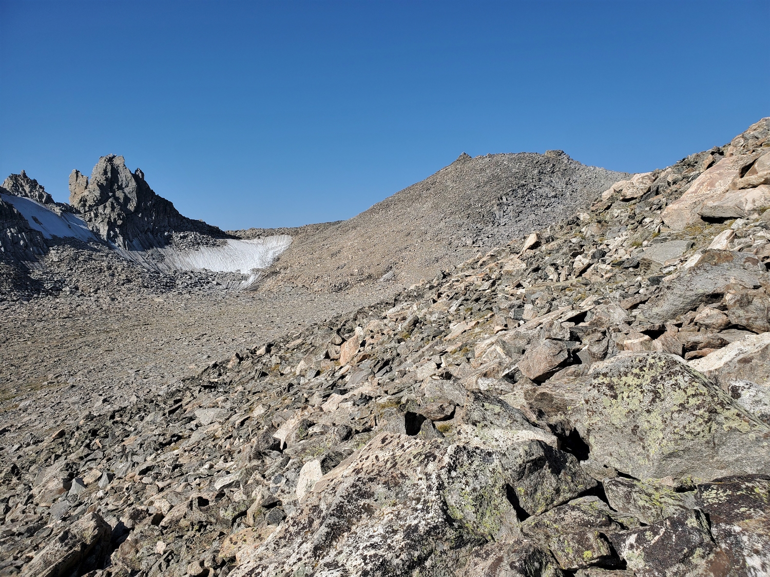
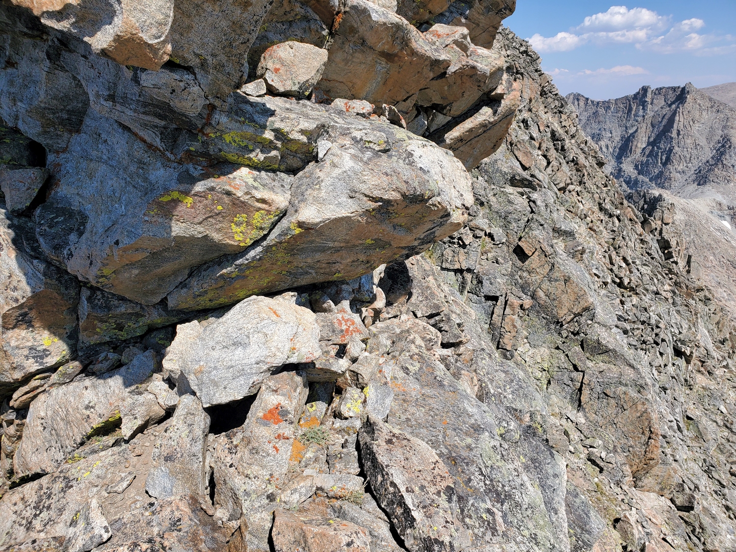
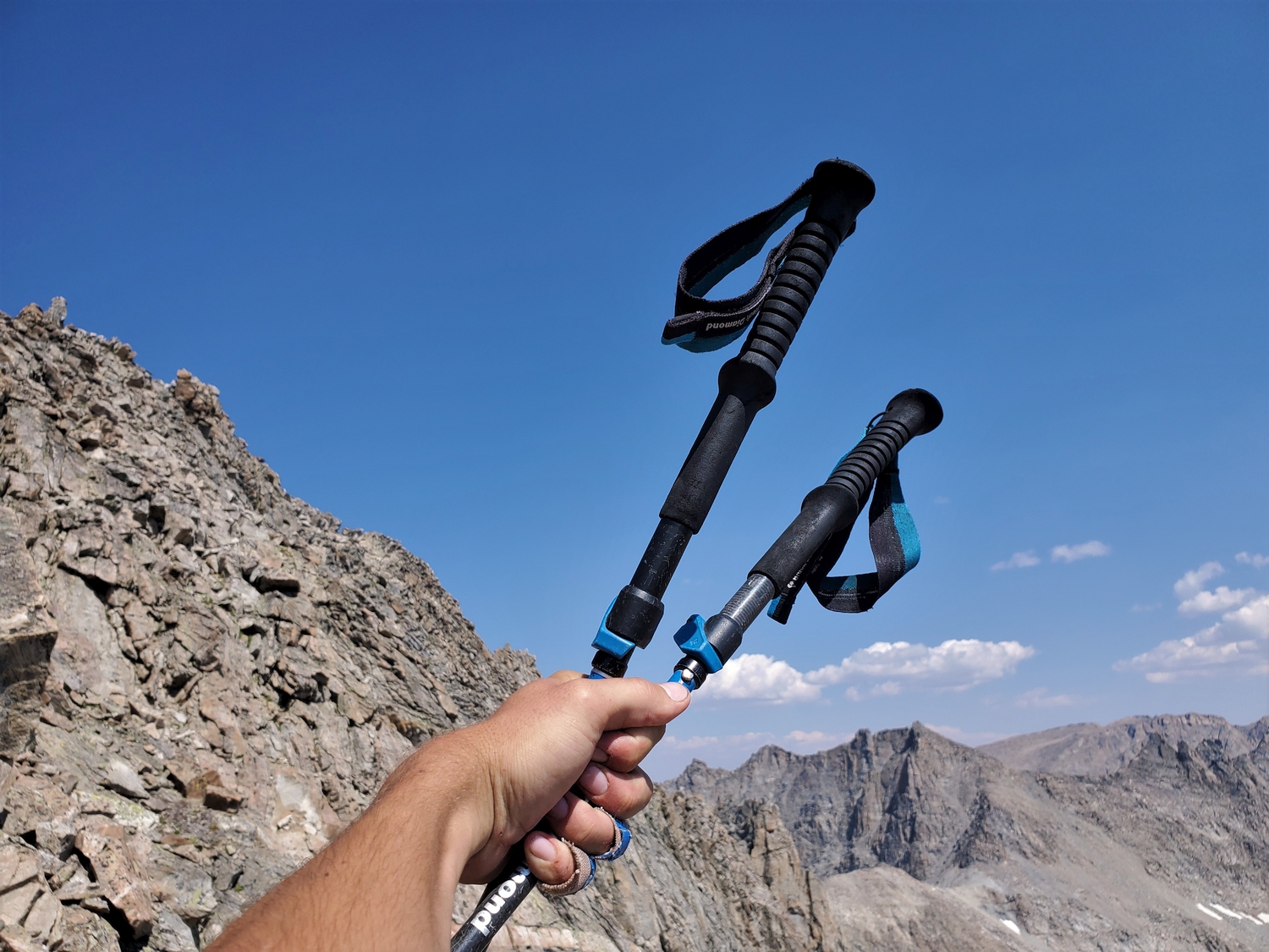
I’ve never quite decided whether I like climbing, per se. I definitely enjoy peakbagging, and scrambling can be fun–even 5th class soloing is exciting and fun in the right circumstances. But I’m usually most excited to get back to easy terrain. What is it that they say about mountaineering–that it’s fun when it’s over? Yeah, that sounds about right. Anyway, Harrower was my last semi-difficult peak except for the Grand, and since the Grand is so crowded, I expected this would be my last truly “solo-solo” climbing. It was such a nice relief to finally let my guard down a bit as I transitioned from focused mountaineering to mindless trail hiking.
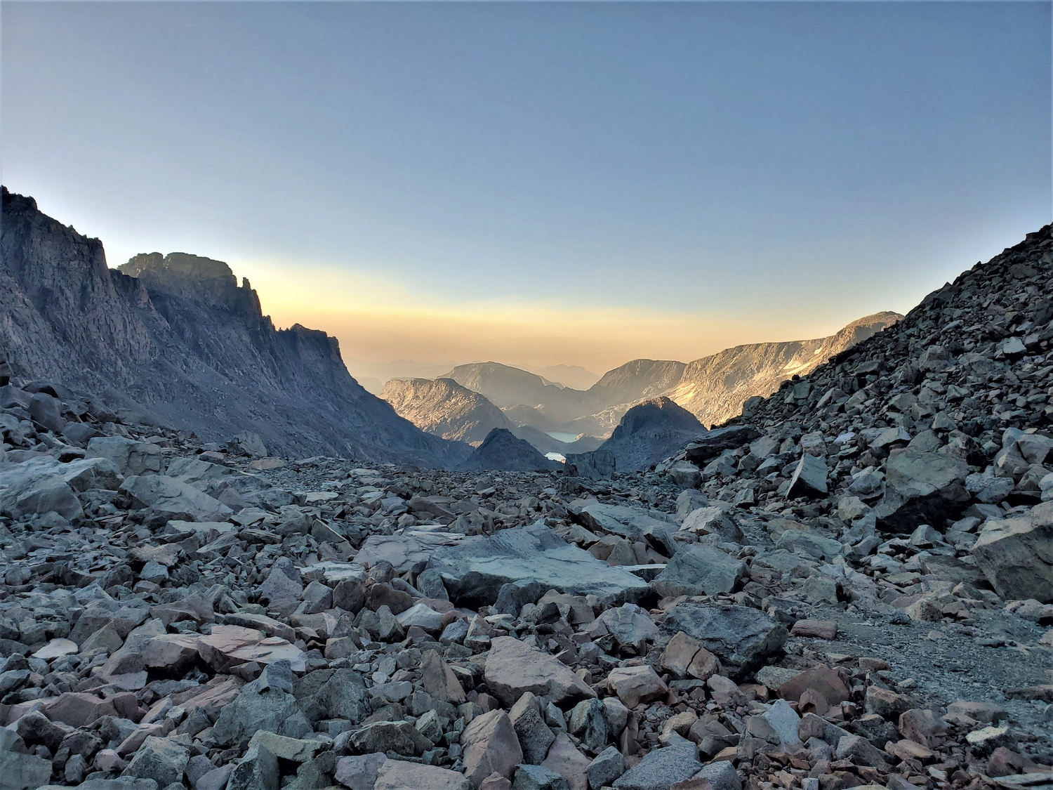
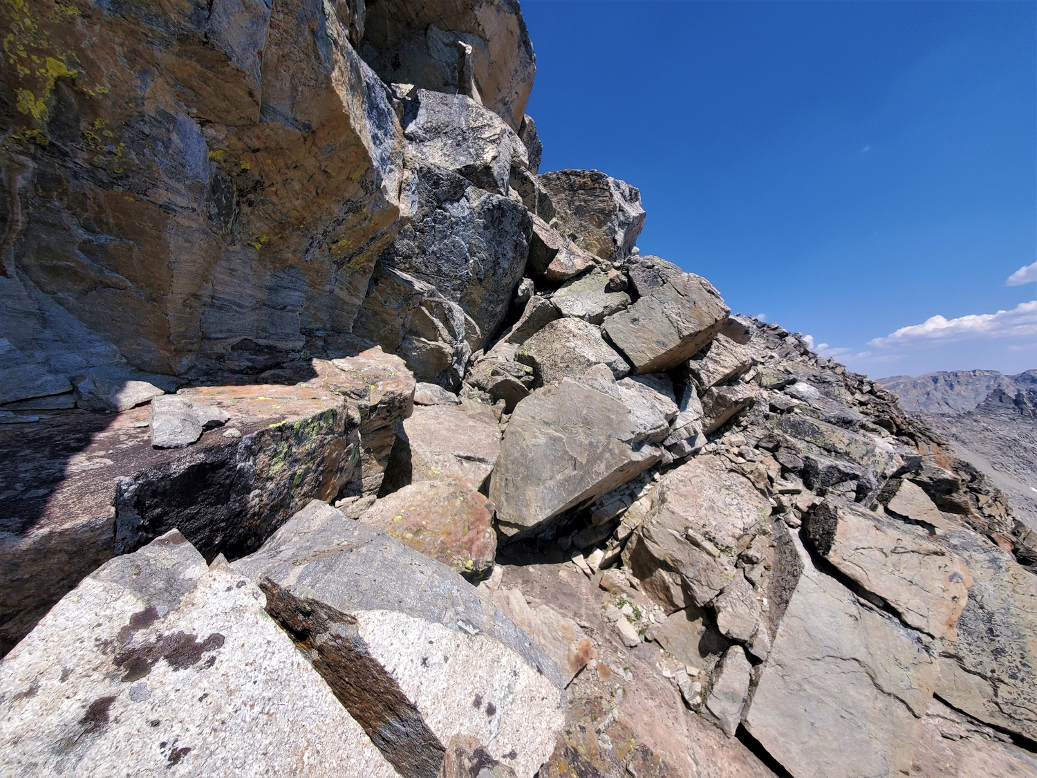
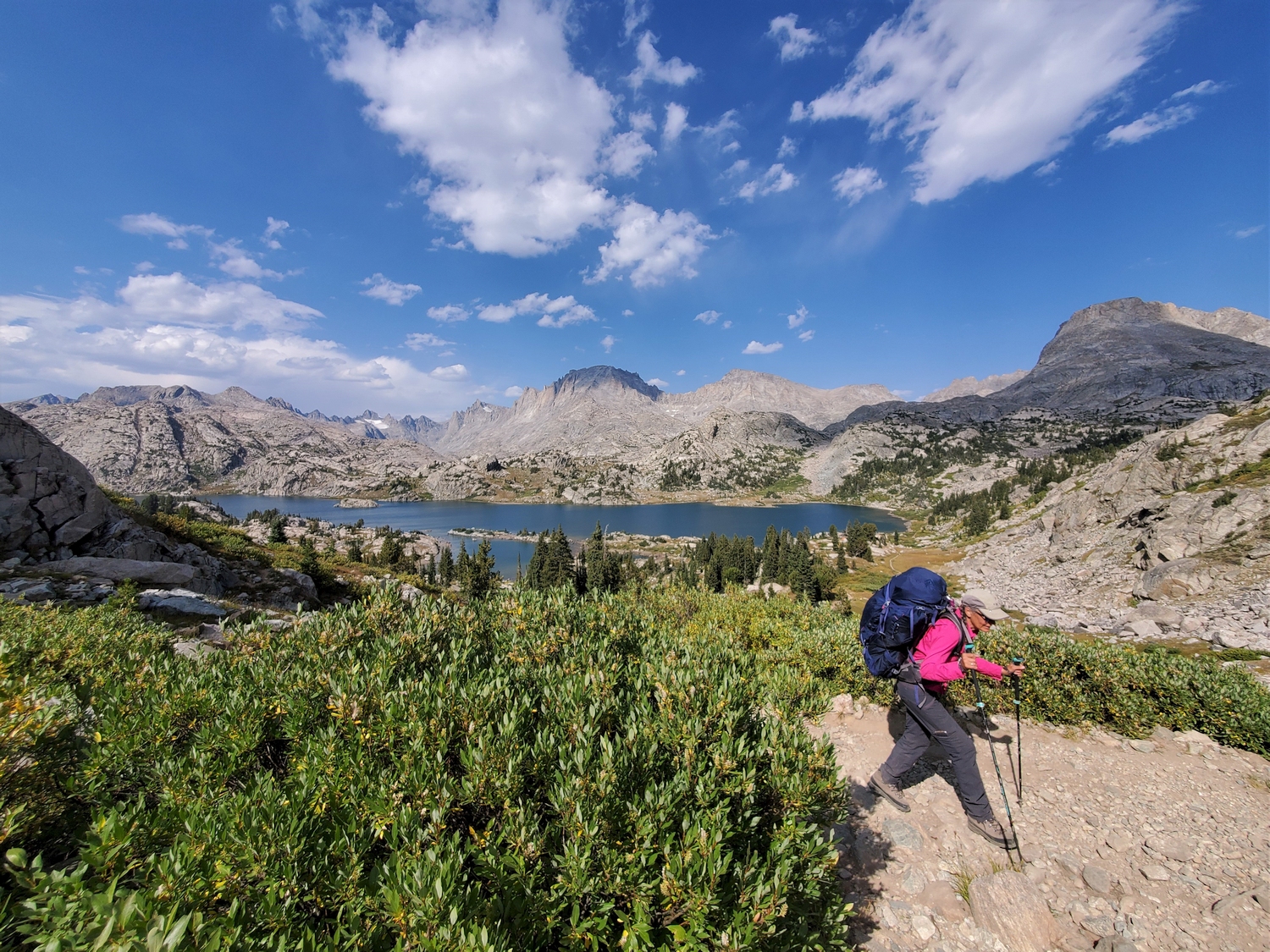
Celebrating my return to trekking pole territory at the end of the scrambling.
I meet my mom and Tess at the Island Lake trail junction, as planned, and spend a few minutes resting and repacking.
This is the first time I've been around another person during daylight since day 2 on the summit of Gannett, and I'm grateful for the company.
By the time of our rendezvous at Island Lake, it's after 3 p.m., and there's 12 miles of trail between us and the RV. We make haste and start hiking.
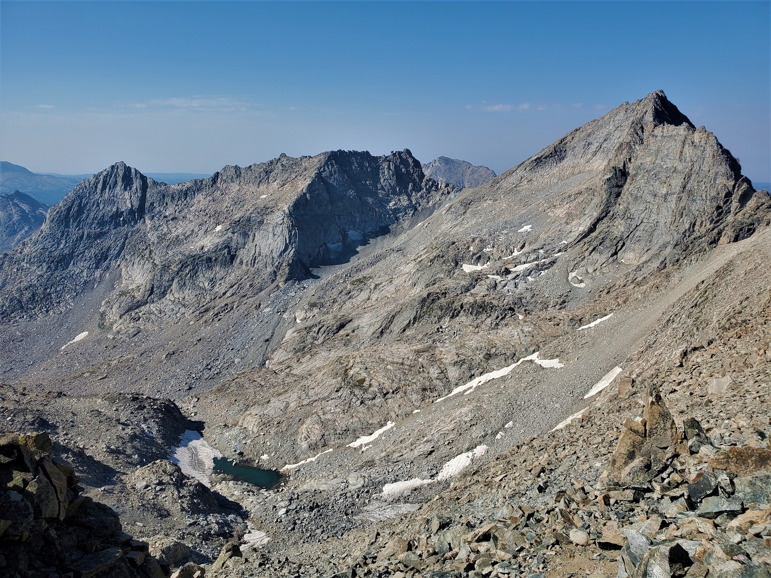
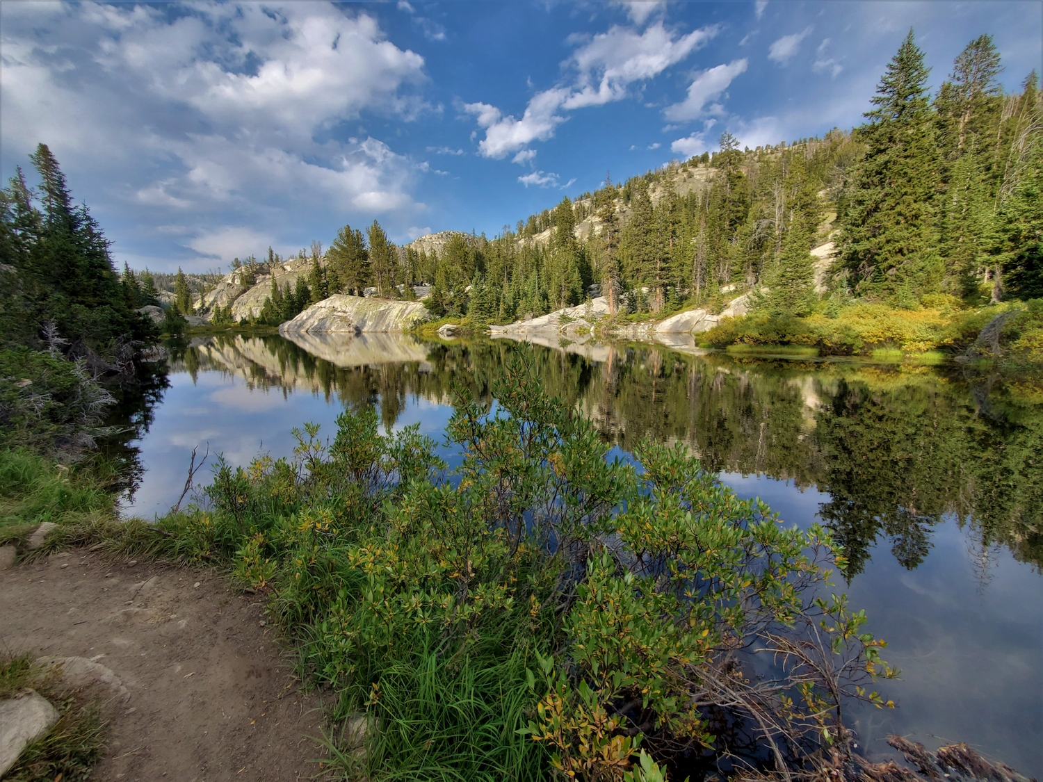
Afternoon light graces the classic view of the Titcomb and Indian Basin peaks above Island Lake. Fremont Peak is the giant one with the shadow on its summit. It's hard for me to believe I climbed most of the visible peaks in the past few days!
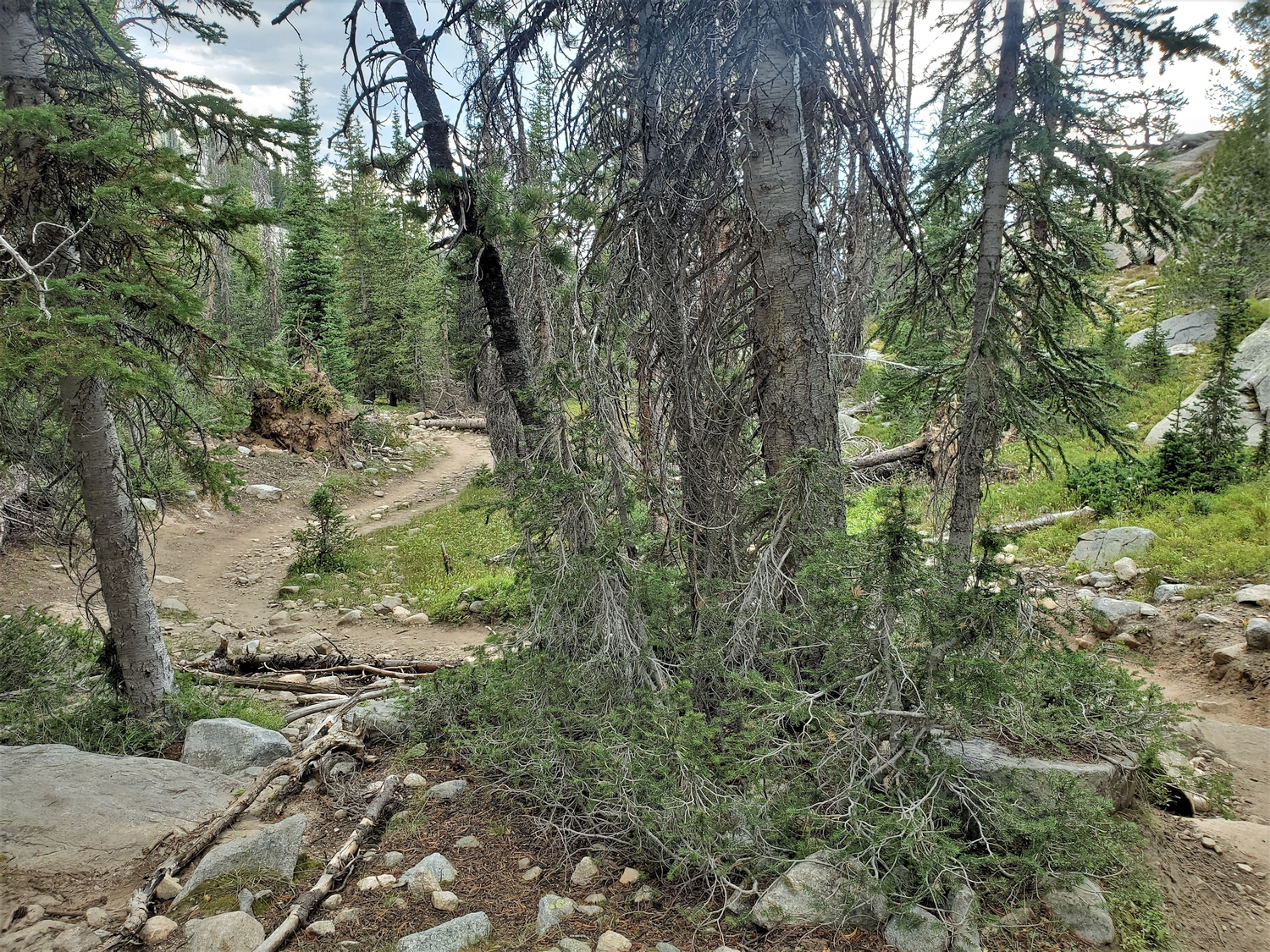
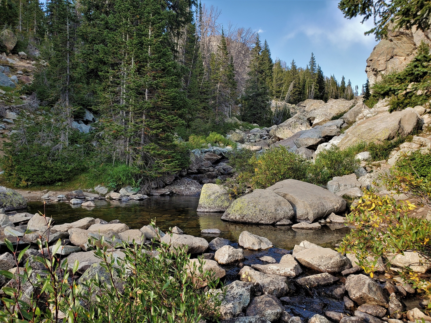
The hike out goes quickly, without too many pictures. It’s a scenic trail, but I’ve seen it all before and at this point I just want to be done. What really impresses me though are the trees. Trees! I haven’t been below treeline since I hiked up the Old Glacier Trail at the start of my trip, 6 days ago. There must be some old instinct in the human psyche that dislikes being exposed to predators, because spending hour after hour in the barren alpine always wears on me mentally. As we descend from Seneca Lake, I’m compelled to stop and take a picture of a perfectly nondescript trail section simply because it’s so wonderfully forested. After spending so much time surrounded by stunning mountain scenery, the colors and textures of the forest are a real novelty!
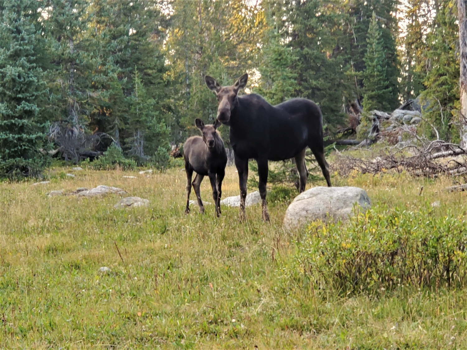
The last 4.5 miles of trail below Photographers Point seemed endless as the twilight slowly gave way to full night. A half mile out, we suddenly saw a large animal running up the trail toward us at top speed. After a brief fright, it turned out to be Clara, our family’s collie. Apparently my dad had walked up the trail to meet us, then turned back when it got dark since he didn’t have a headlamp, and we had now caught up to him and Clara. We were tickled to all be together again, and arrived triumphantly in the parking lot shortly thereafter, just before 9:30 p.m.
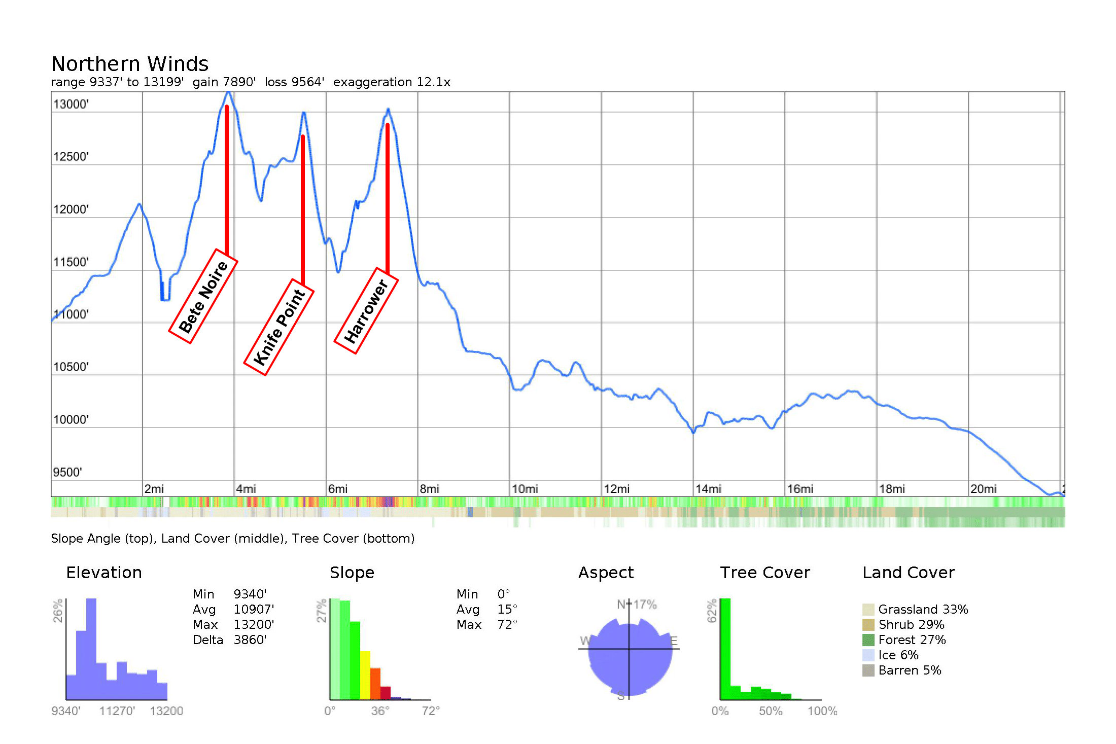
Although I only climbed 3 peaks this day, the fewest of any day so far, it was still a pretty big day: 22.5 miles with 7,900 ft. of elevation gain. We only wasted a few minutes packing up in the parking lot before starting the drive down.
I was hungry but had trouble eating because my mouth had started getting sore the past couple days. It turned out I had “lie bumps,” or tiny painful sores all over my tongue, probably caused by a mix of stress and dryness from breathing heavily all day. It seems to be a documented problem for amateur athletes on long FKT routes–I guess we just let the stress get the best of us! The bumps made it really painful to eat, which was a shame since I was hungry and had a nearly unlimited supply of my favorite foods in the RV.
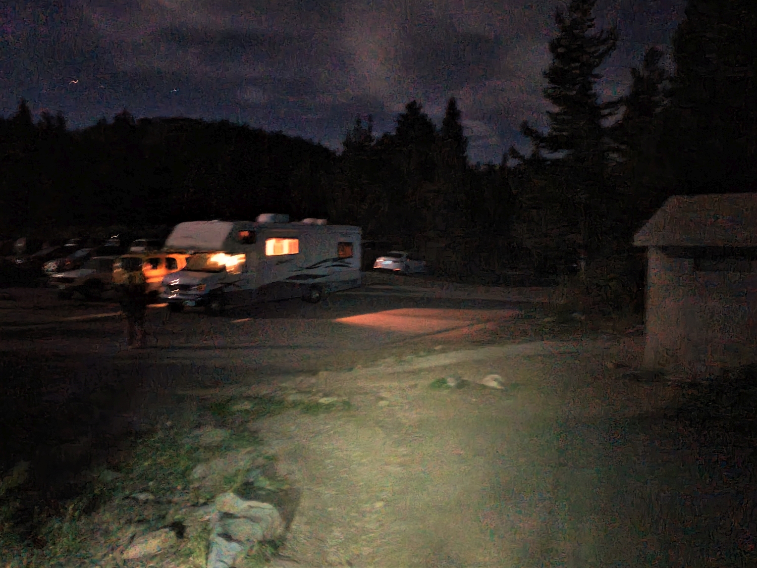
Arriving at the Elkhart Park trailhead with the RV glowing invitingly.
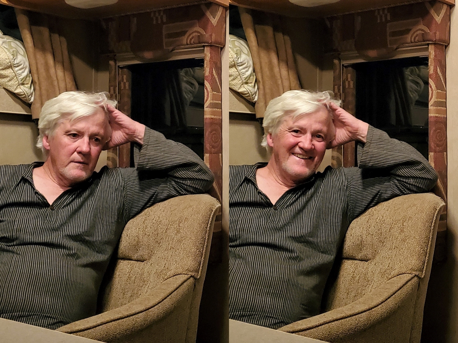
My dad's expression before and after he realized I was taking a picture. A bit worried, but trying to hide it!
My mom was pretty tired too, especially after carrying more than her fair share of gear. She was a trooper! In other news, a Subway BMT is one of my favorite post-hike fast-food dinners.
As I’ve discussed before, there are basically two phases to speed-running the Wyoming 13ers: a mountaineering tour of the northern Winds, and a road trip around western Wyoming. Having completed the first, I now turned to the second.
I spent 5 days, 19 hours, and 23 minutes from trailhead to trailhead climbing all the 13ers in the northern Wind River Range. This meant I had another 3 days, 3 hours, and 31 minutes to beat the previous FKT by 1 minute. In other words, I had used up 65% of the clock. Now, it would appear that I was ahead of schedule, because at this point I had climbed 86% of the 13ers, but the remaining peaks are scattered around various ranges, requiring long drives and even longer hikes to get a single summit. So far, I had averaged 4.5 hours per peak (including sleeping/etc.), but for the rest of the project I would end up averaging 14.6 hours per peak (again including driving/sleeping/etc.).
I knew all this, and had planned accordingly. On paper, it would be close, but I shouldn’t have any trouble finishing. However, there was just one major problem: the weather. The stable high-pressure ridge that had brought day after day of cloudless skies and warm temperatures was finally breaking down, and a major cold front was moving in from Canada.
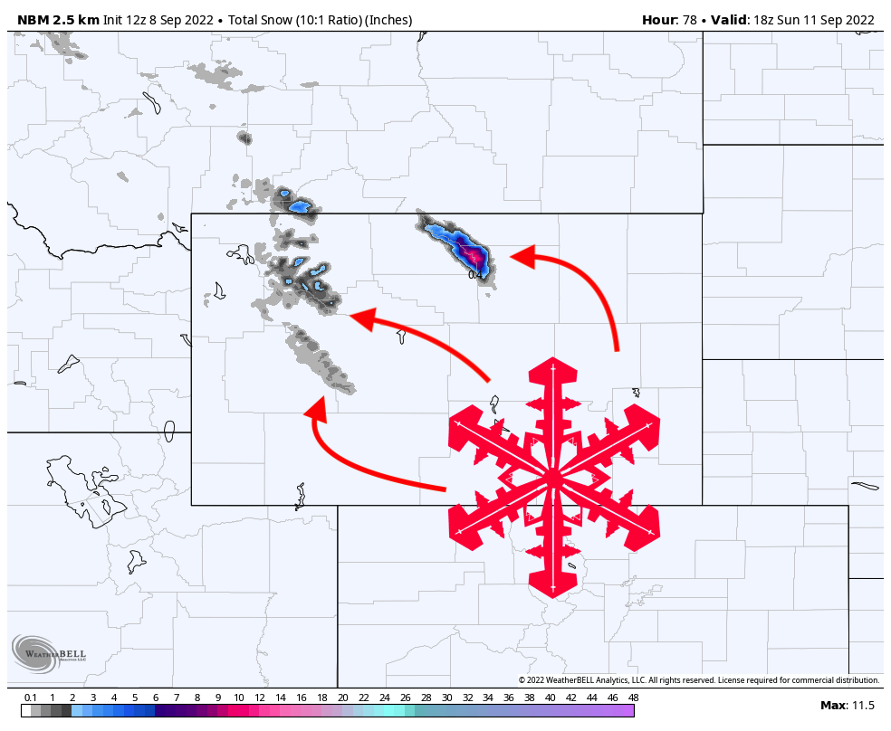
Map of forecast snow accumulation for 9/8-9/11.
The forecasts were all unanimous: the Bighorns would be hit hardest and first, with 10-20 inches of snow falling in the next two days (September 8-9). I didn’t see this article at the time, but it gives a good overview of the situation. Storms were forecast for the other mountains too, but most areas would only see minimal accumulation. I had originally planned to climb the Grand Teton next, then move to Wind River Peak, which would put me in the Bighorns on September 10th, the day after the storm. If I followed through with this plan now, it would almost certainly end in failure, because postholing through several feet of snow would be too slow to finish the Bighorns on schedule.
Climbing the northernmost 13ers in the American Rockies during the first winter-esque snowstorm didn’t seem like a good idea either. My only hope seemed to be getting to the Bighorns as fast as possible with the hope of climbing the peaks before the worst of the storm arrived. This was supposed to be the easy, fun part of the 13er quest, just a family roadtrip with mellow day hikes, but this storm threw a wrench in my plans. Combined with the fact that I spent one more day than planned in the northern Winds, my goal was looking more and more uncertain. The flight instructor that my dad and I have both trained with has two sayings that kind of became family sayings: “the outcome of the maneuver remained in doubt” and “we’ll go take a look.” As much as I wanted to trust in the certainty of my success, the outcome was indeed in doubt, and the best I could do was go take a look.
Competent performance…requires that the pilot be the obvious master of the aircraft, with the successful outcome of the maneuver never in doubt. ~ FAA 14 CFR § 135.293