In the first four days, I had climbed 24 of the 36 total 13ers, which meant that I had climbed two-thirds of the peaks in less than half of the current record time. However, I knew that I wouldn’t be able to keep up this pace much longer–I was running out of efficient traverses, and the remaining peaks are isolated, requiring long hikes and drives just to get one or two summits. Moreover, my physical condition was becoming more and more worrisome, as I was running low on energy reserves due to pushing at 100% for the better part of each day. I was also coughing a lot more and getting nosebleeds, both the result of constant aerobic breathing in the painfully dry air. While I was technically still right on schedule to narrowly get the FKT, it felt pretty desperate, and I was very unsure if I could finish.
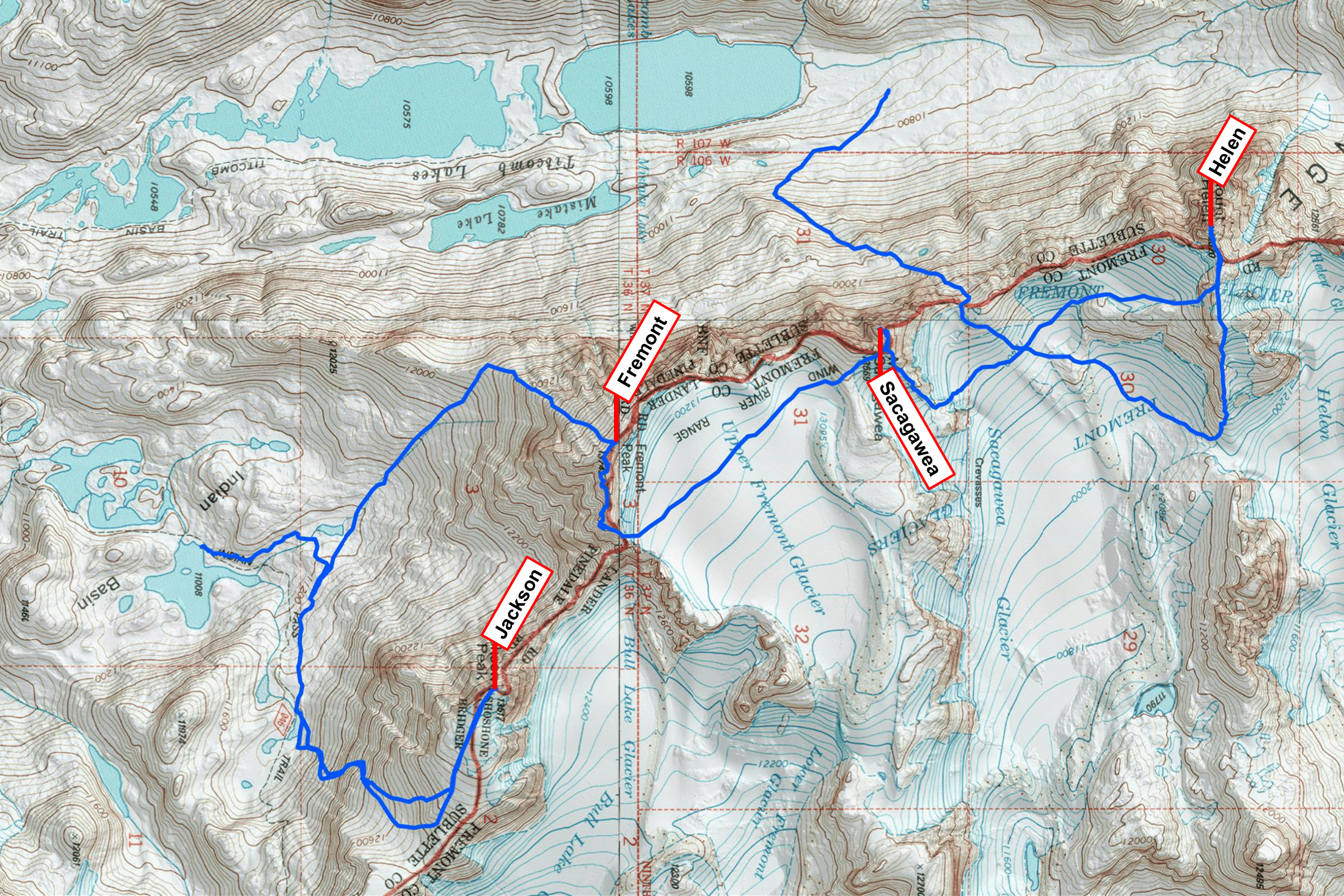
The goal today was to finish the Titcomb Basin peaks, namely Helen, Sacagawea, and Fremont, with the possible addition of Jackson if things were going well. That seemed like a doable task, which was good because I was moving much slower today. The effort of the previous days was finally exacting its toll.
I slept in until sometime around 6 a.m., and it was fully light by the time I left camp at 6:40. I wasn’t proud of my late start but felt like I deserved it after getting to camp so late the last two nights. Speaking of camp–my mom was an angel to support this crazy venture by running basecamp. Not only did she hike in with most of the gear, boil water for freeze dried dinners, etc., the ability to debrief and talk to another person every evening and morning was key to my success. So much of this game is mental.
Today, while I was climbing the peaks, my mom would pack up and move camp to Indian Basin, which would position me nicely to finish the last northern Wind River 13ers tomorrow before exiting to Elkhart Park.
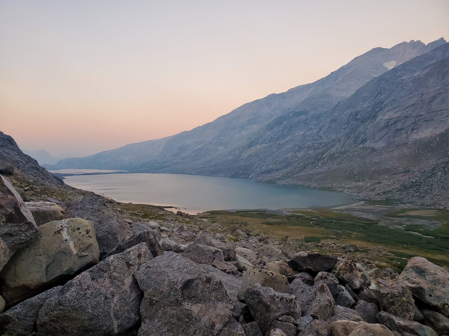
Like yesterday, this morning was very smoky, with hazy views and the strong smell of wildfires.
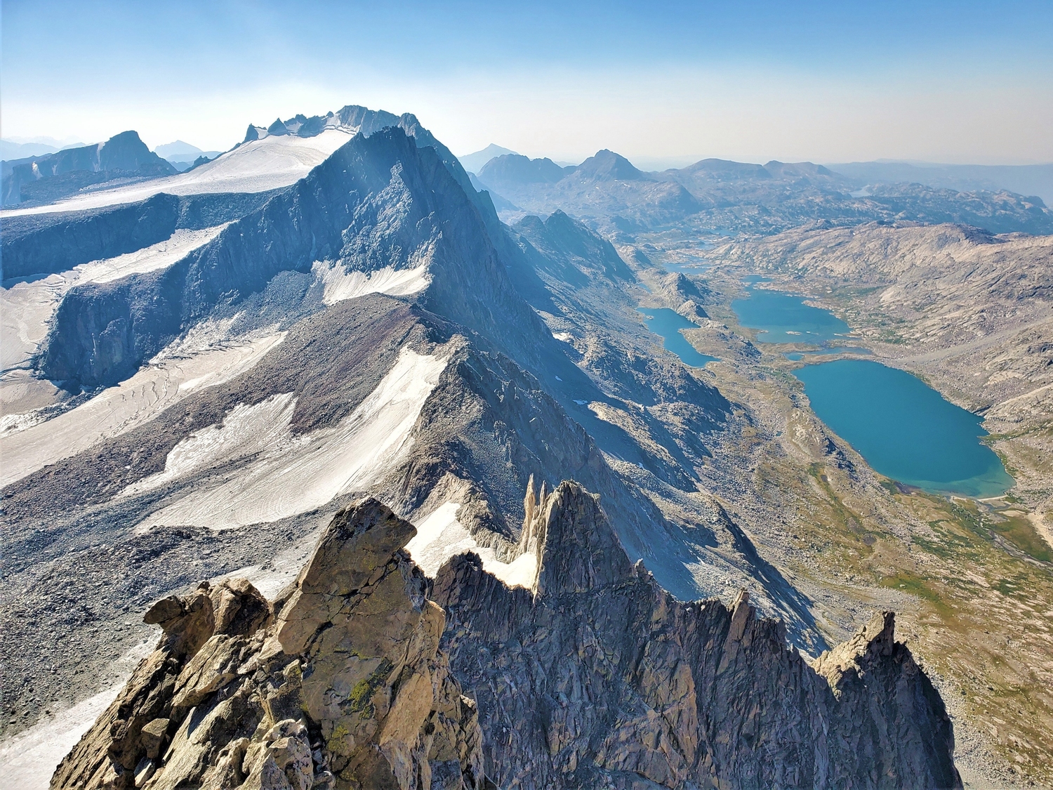
Sunrise on Henderson (left) and American Legion (right). I climbed them from their mutual saddle and descended the scree slope in the middle on day 3.
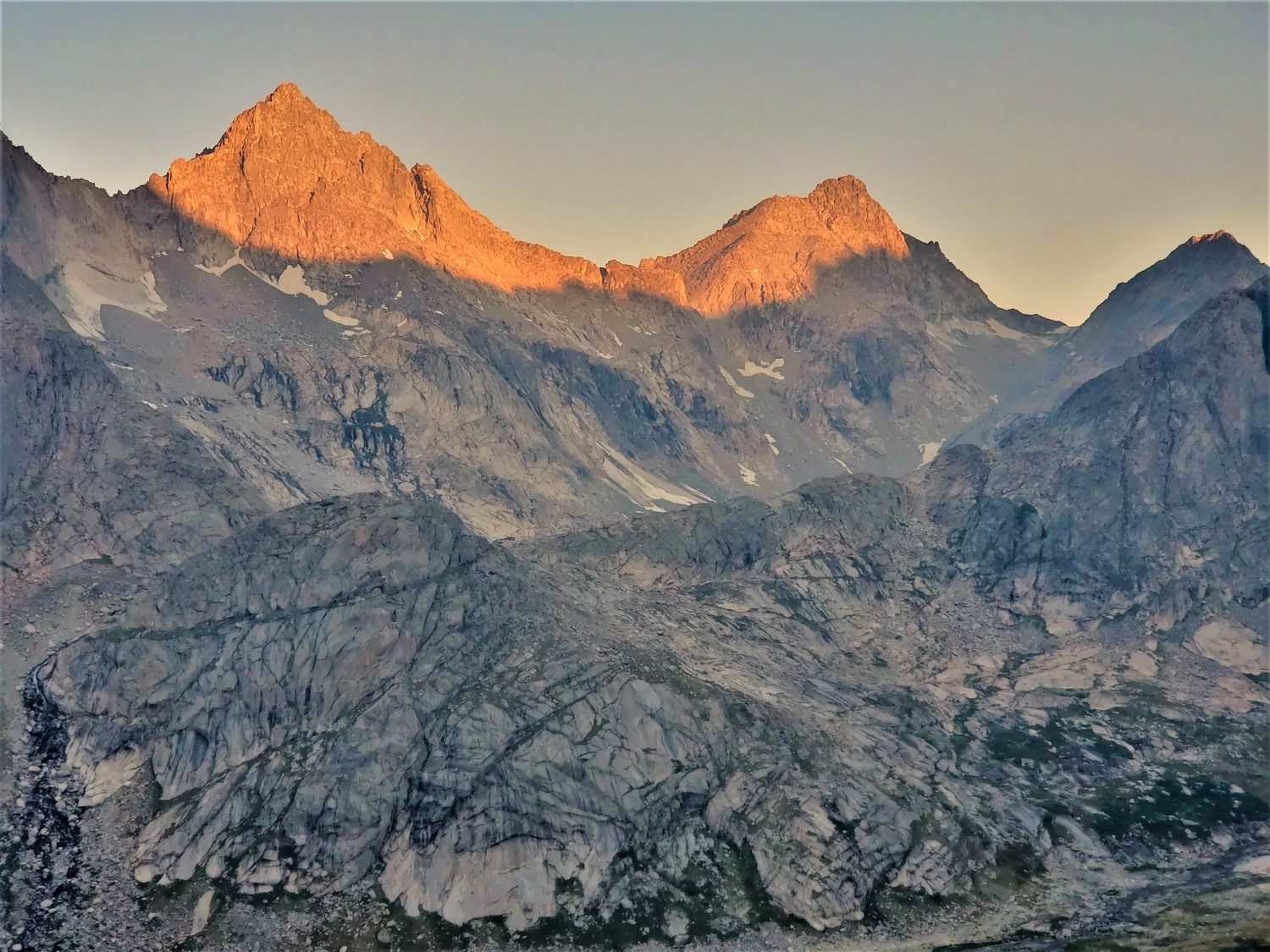
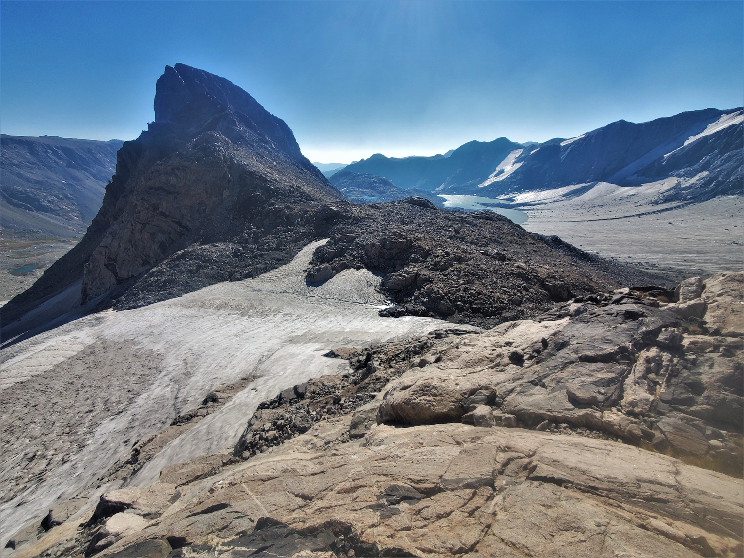
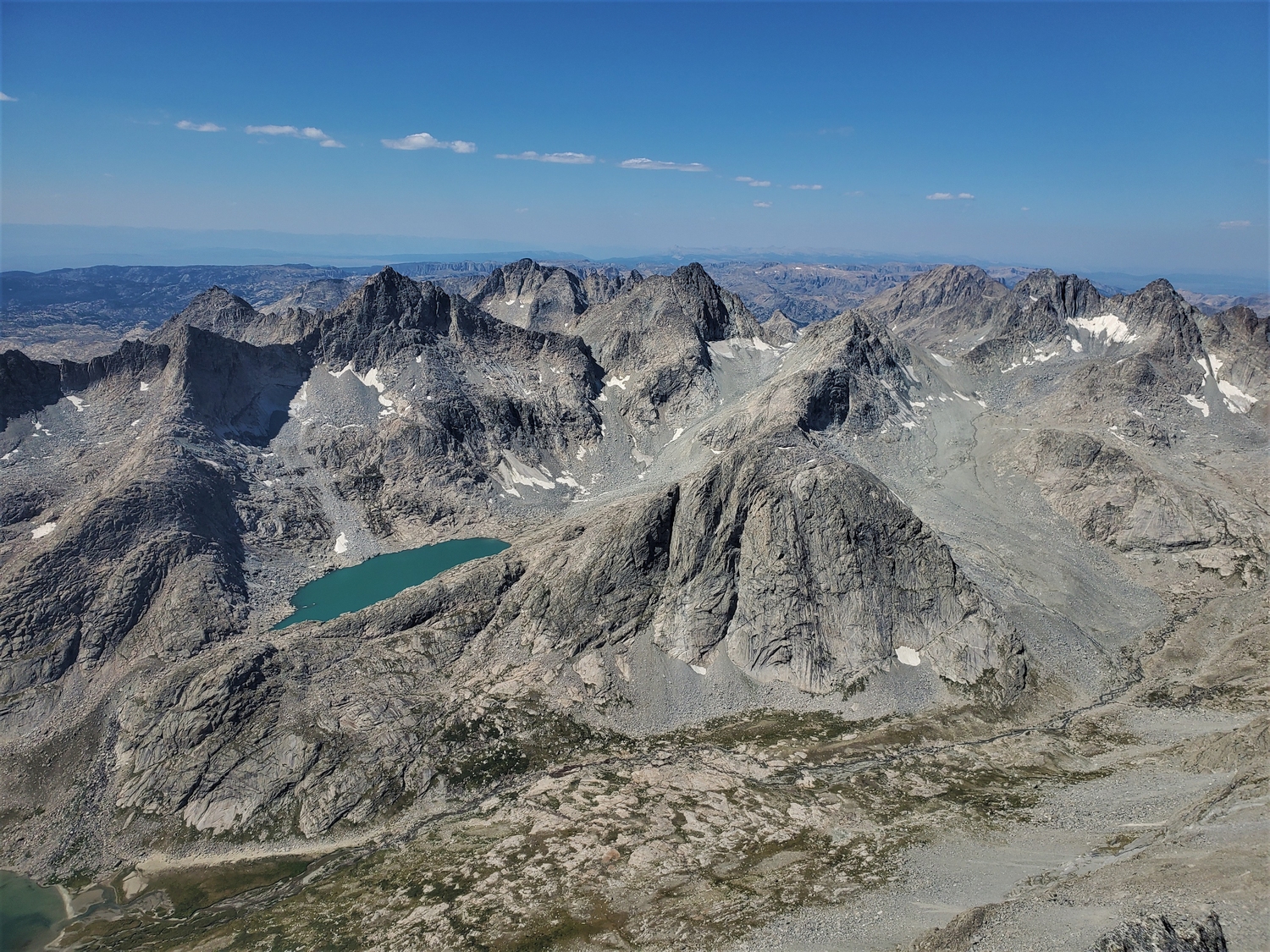
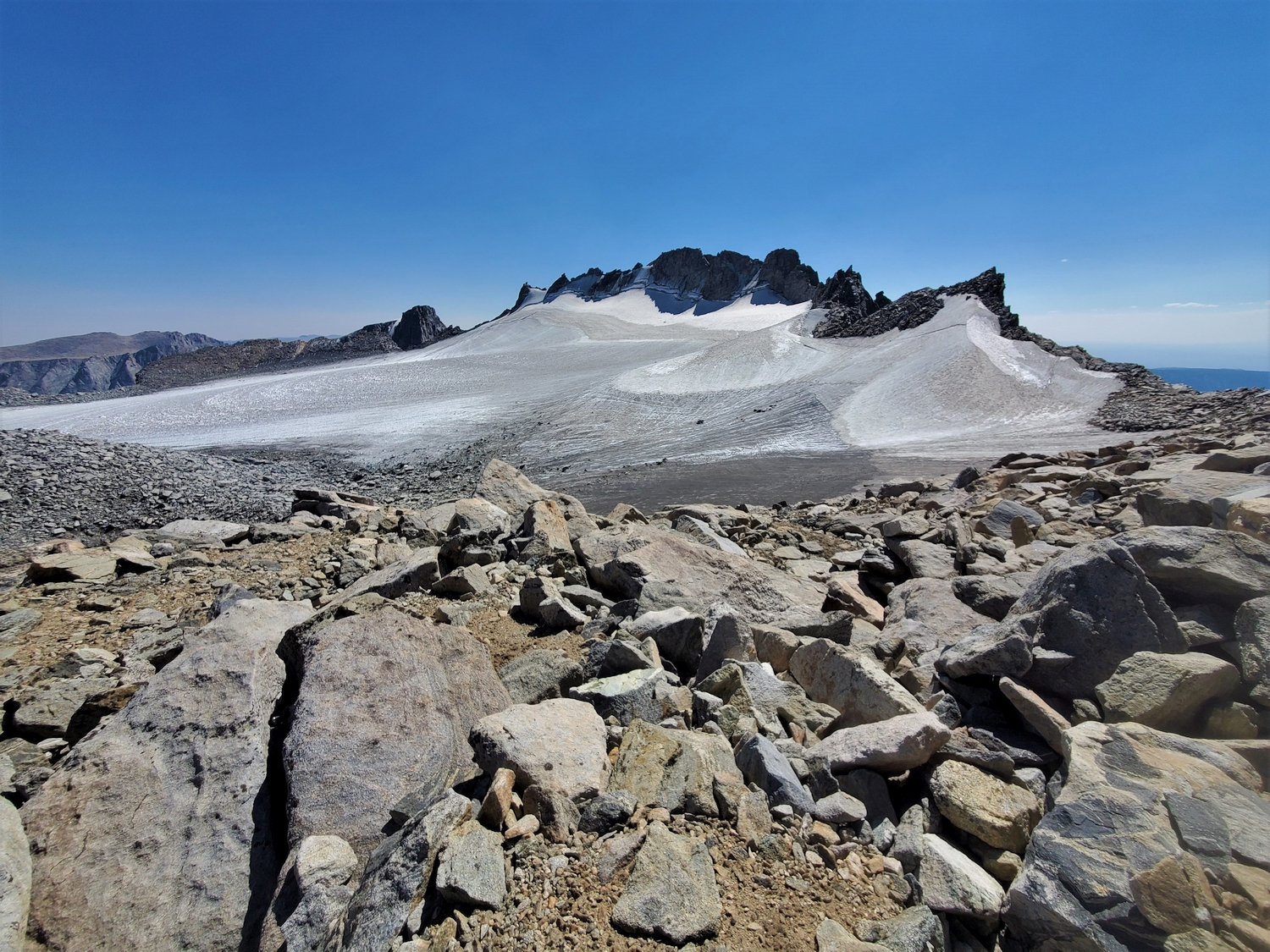
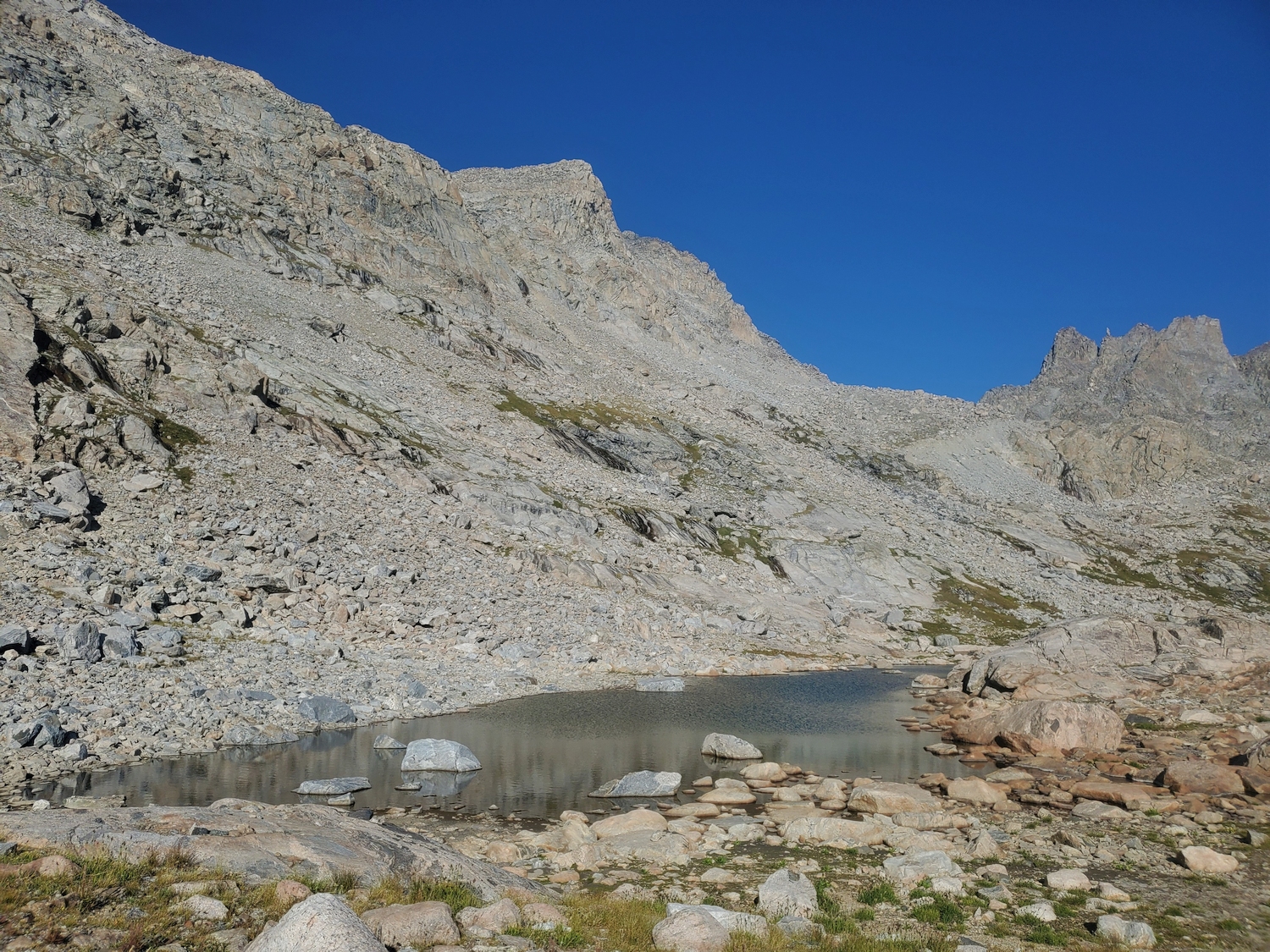
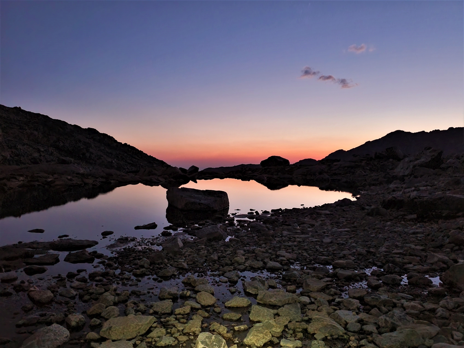
The west face of Sacagawea towers over a pond in upper Titcomb as I begin the tedious ascent to the Divide.
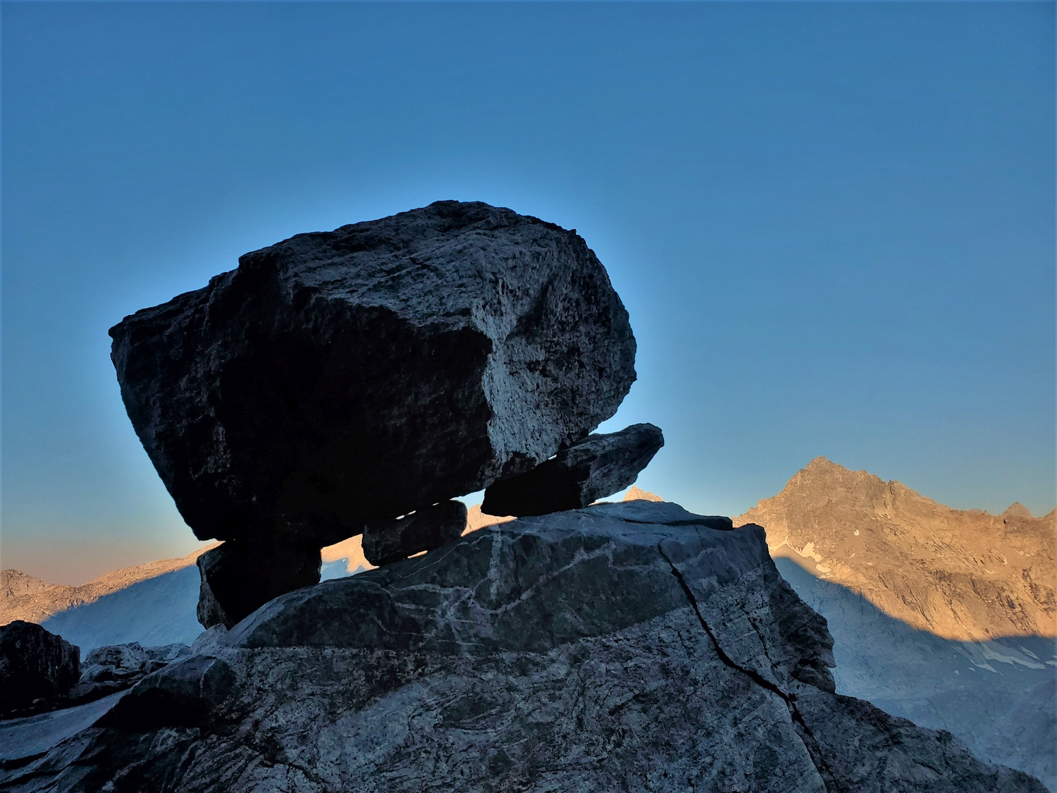
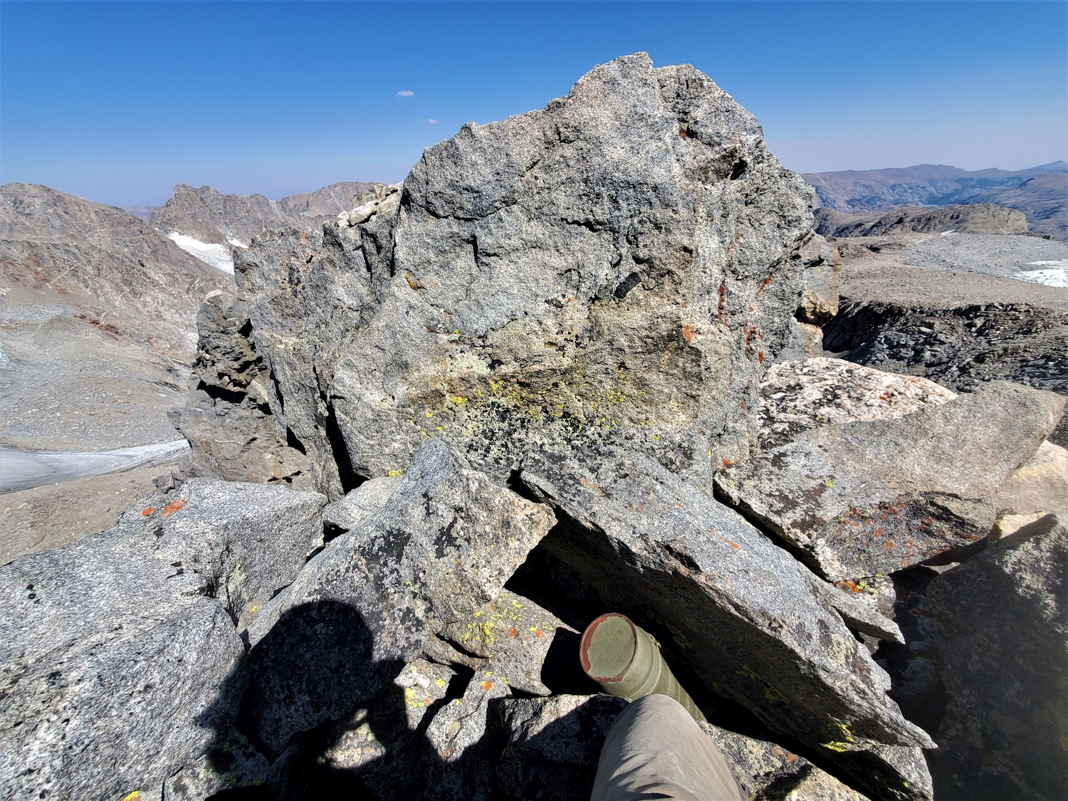
This boulder looked like it was ready to start walking.
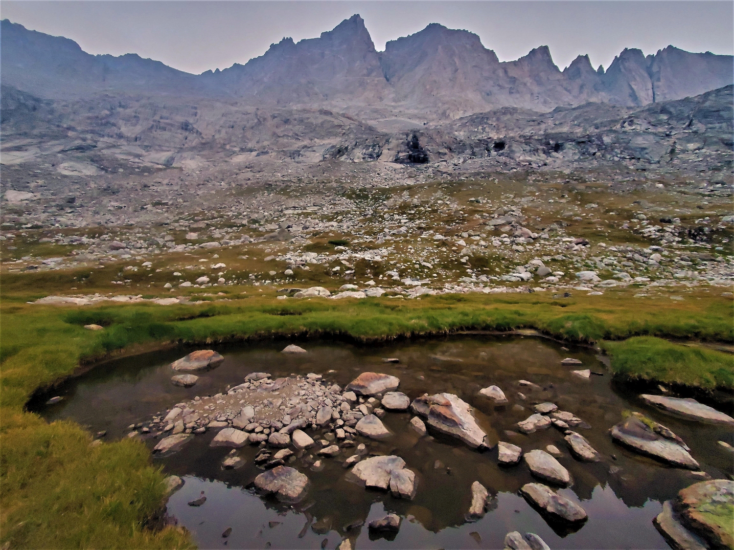
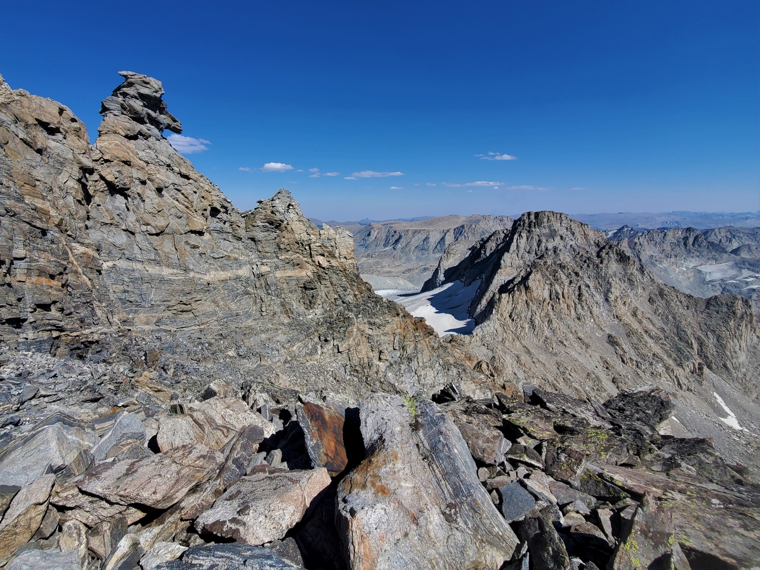
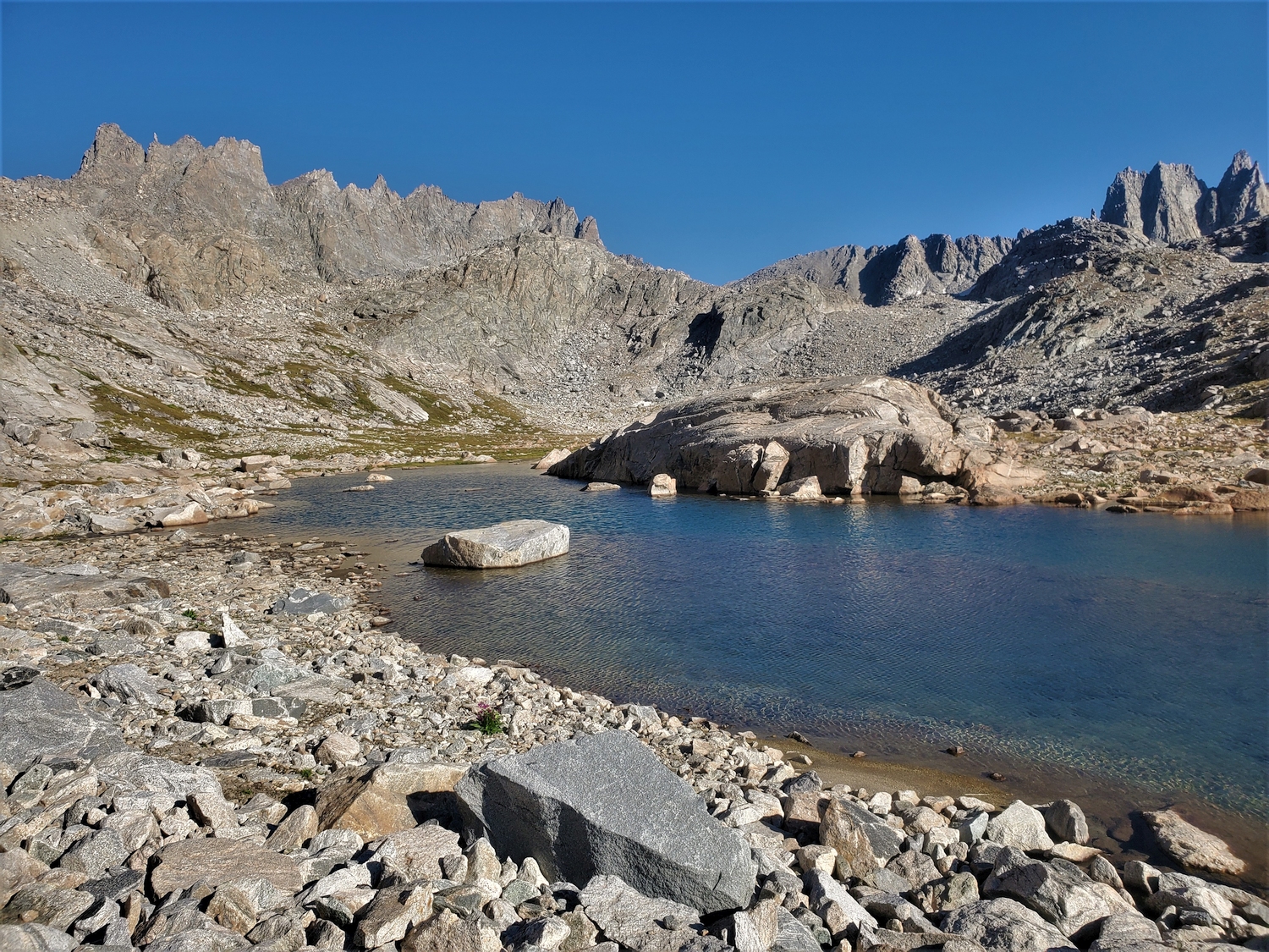
The west wall of Titcomb looks steep and cliffy from afar, but this convenient diagonal ramp is my ticket to the Divide.
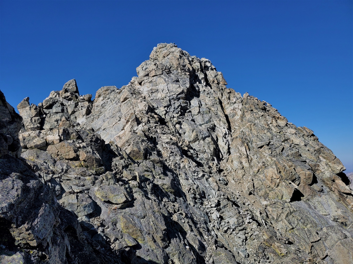
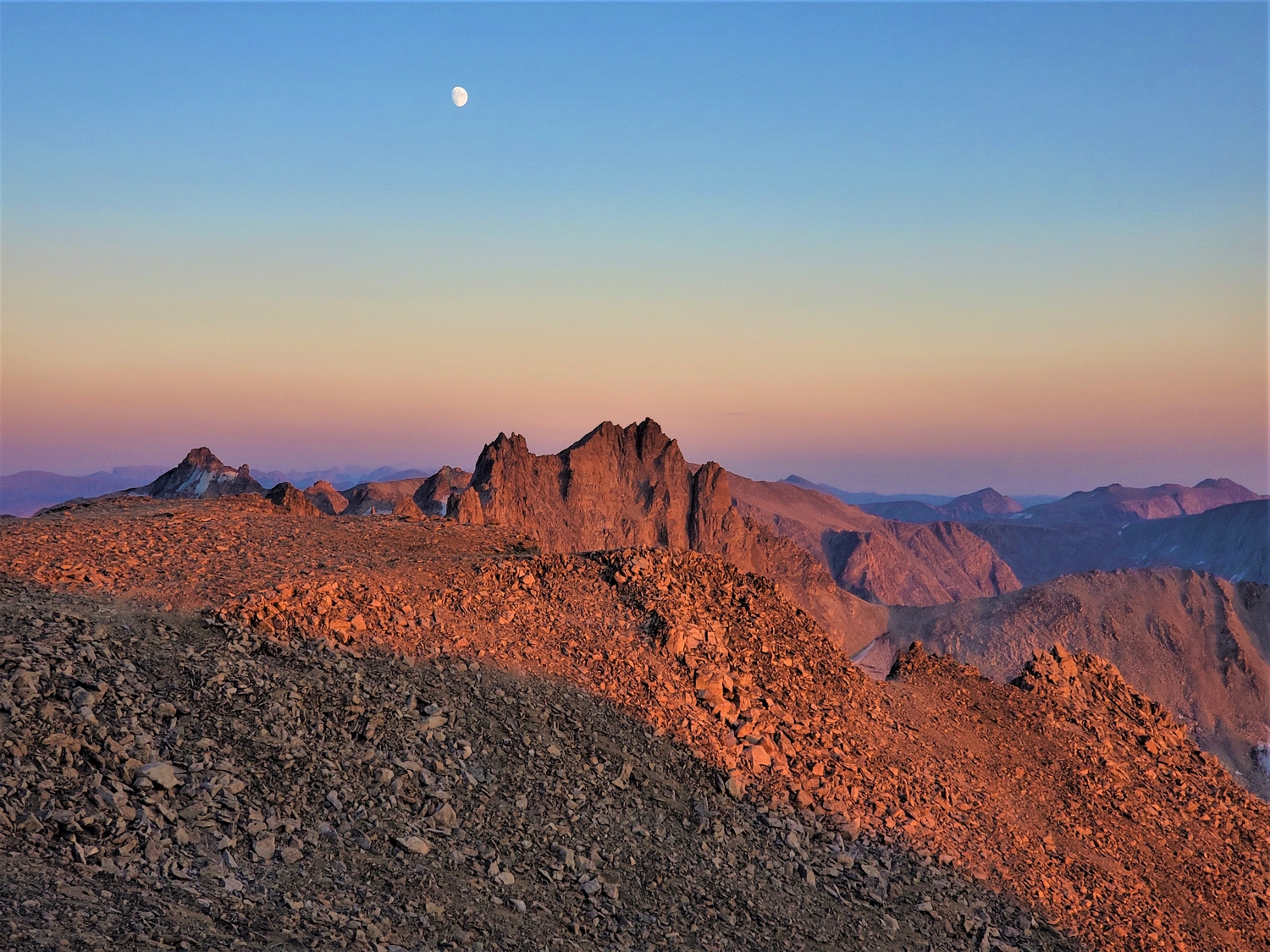
It's a steep climb, and my exercise-induced asthma is acting up this morning, but eventually I make it to the crest to be rewarded with a view of Mount Sacagawea in the morning light.
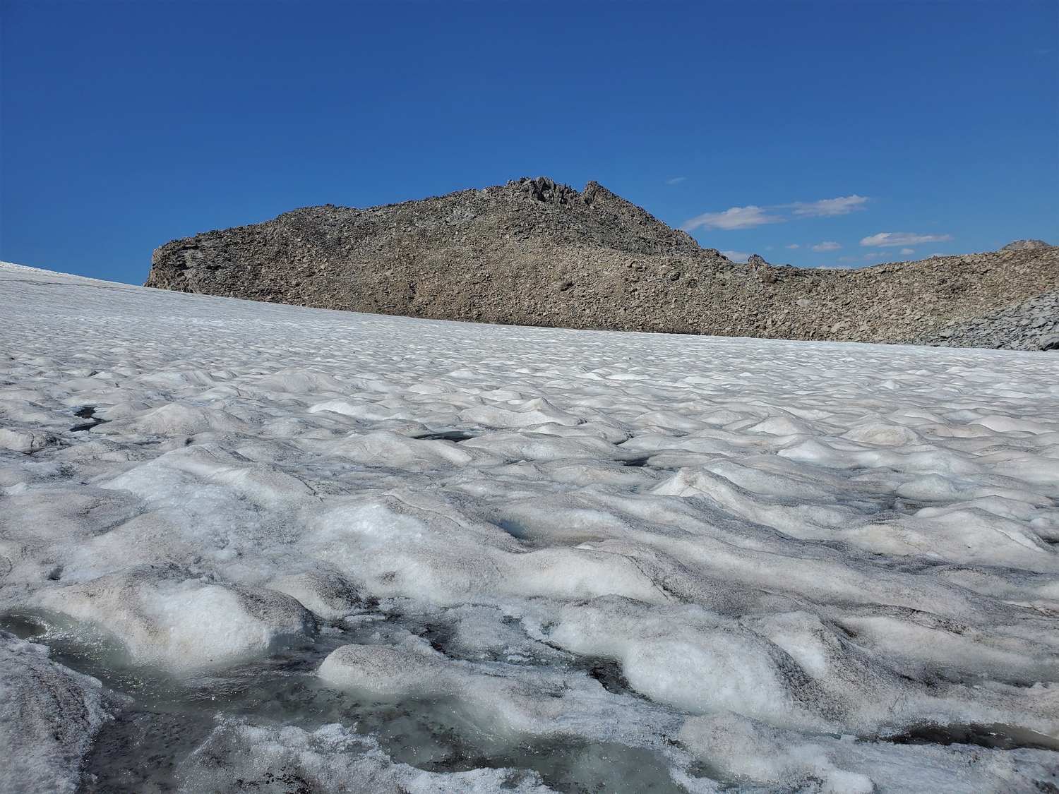
I reached the summit of Mount Helen around 10:45, four hours after leaving camp and by far the latest I had reached my first summit of the day so far. I made a quick call to chat with my dad and tried to force down some food, then retreated with haste. The gully I had eschewed on the way up turned out to be a fine scree-skiing descent route, and before long I was on my way to Sacagawea. Little did I expect, I’d soon be second-guessing this plan.
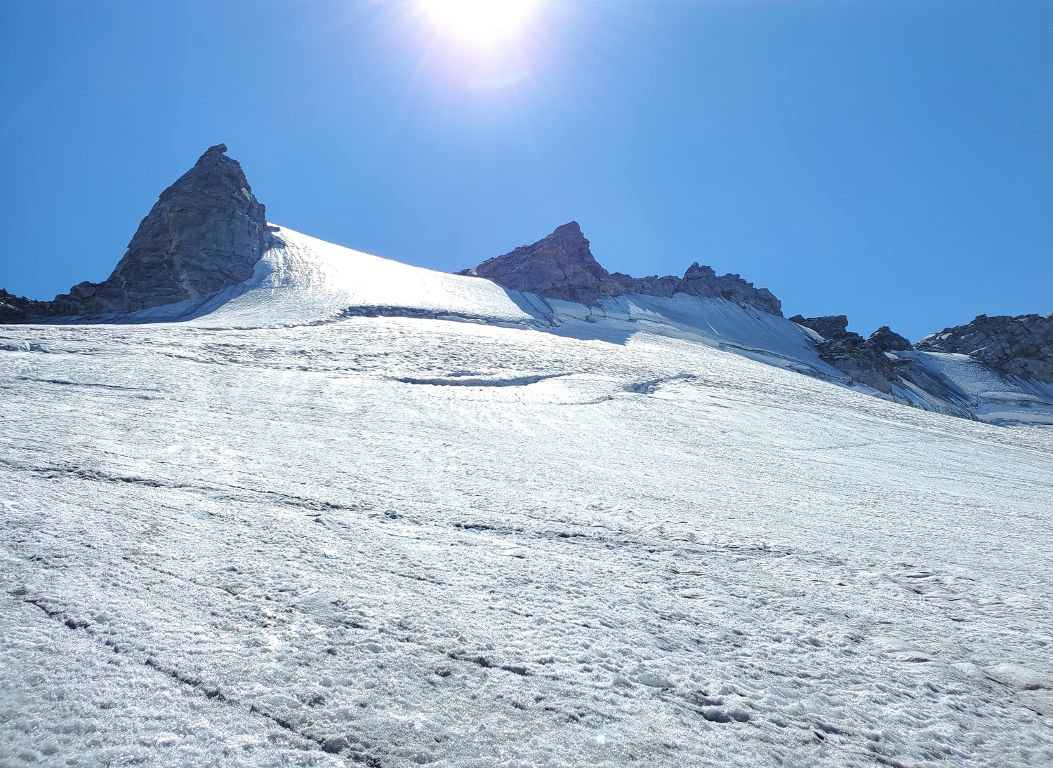
There are few things that compare to the sound of truly massive rockfall. I’d heard it a few times before, and it left an impression. A big enough rockfall episode sounds like someone is carpet bombing the mountains, with each impact reverberating in your chest and thundering with unimaginable power. So when I heard the booming, I knew what was happening even before I spotted the mushroom cloud of rock dust growing over the north face of Mount Sacagawea.
It appeared that a bus-sized rock had detached from Sacagawea’s north face and was now tumbling hundreds of feet down the gullies below, splintering into smaller boulders like God’s own grapeshot. I was almost a mile away and in no immediate danger, but there was just one small problem: the rockfall gully was precisely the gully I needed to climb! After what felt like a moment frozen out of time, the boulders impacted the glacier below, spraying a shower of ice into the air and coming to rest at last.
Geologic time includes now. ~ Gerry Roach
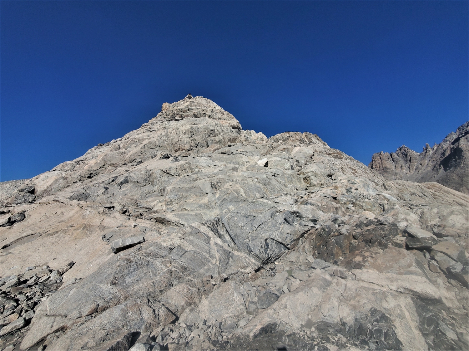
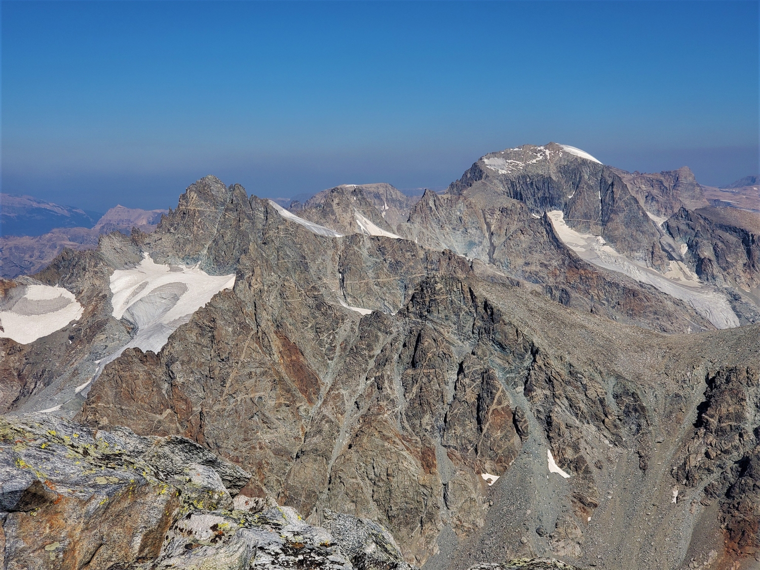
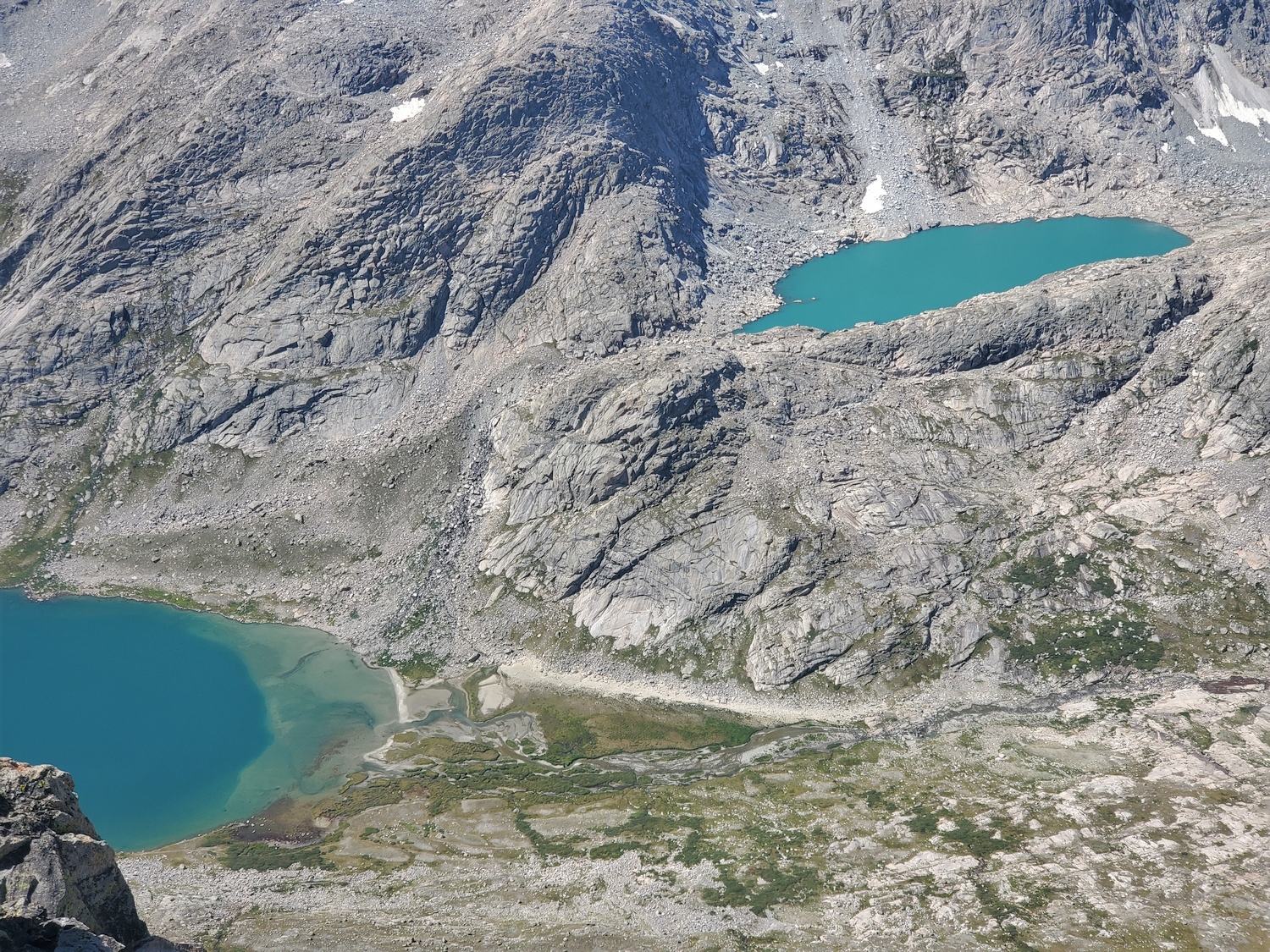
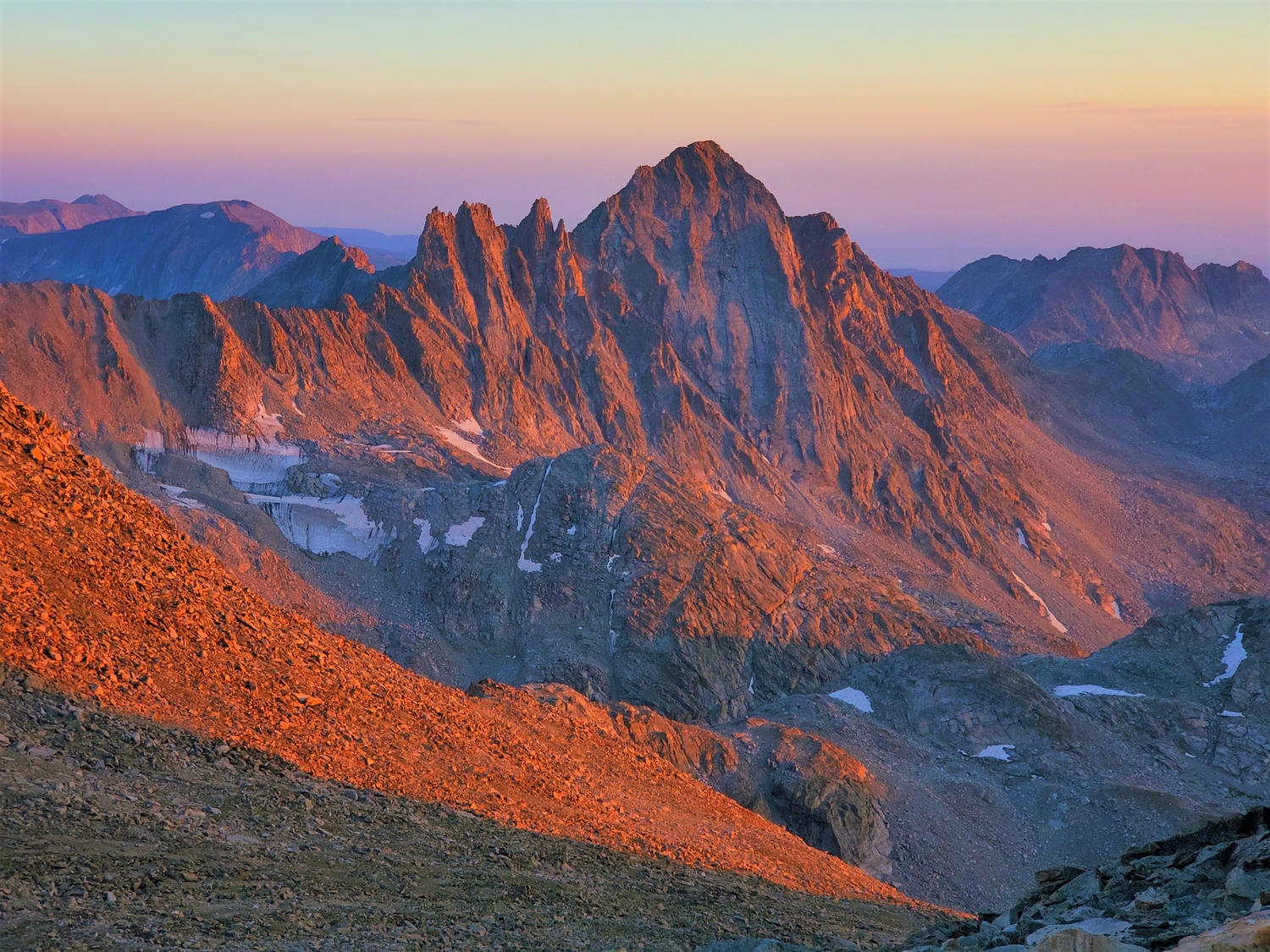
In this view south along the Divide from Helen, Sacagawea is the dark triangular peak that blends into the higher ridge of Fremont beyond. The rockfall originated on the shadowed face and cascaded down the gully near the lower end of Sacagawea's left-hand ridge. This gully also happens to be the only non-technical way to get from the lower valley onto the upper slopes.
Insert meme of Ralph from the Simpsons: (chuckles) “I’m in danger.” Well, that’s…not good. There’s no other feasible way I can climb Sacagawea, other than by going up the gully that just got bombed. Granted, the chance of it happening during the few minutes I’m in the gully seems…low? Actually the chances seem pretty high. As in, it just happened. The combination of late-summer, mid-morning conditions and steep, recently glaciated, north-facing slopes is a great recipe for rockfall. I seriously considered bailing on the whole project right here, just because I didn’t want to get pulverized by a million pounds of free-falling granite. But of course I couldn’t do that. Couldn’t take all the risks I had taken, only to quit now. This is called the sunk cost fallacy, and it’s a great way to get killed. I knew this of course, but it didn’t make any difference, the truth was the same: I needed to climb Sacagawea, which meant I needed to face my fears and play roulette with the gully.
Though I walk through the valley of the shadow of death…
Though I walk through the valley of the shadow of death…
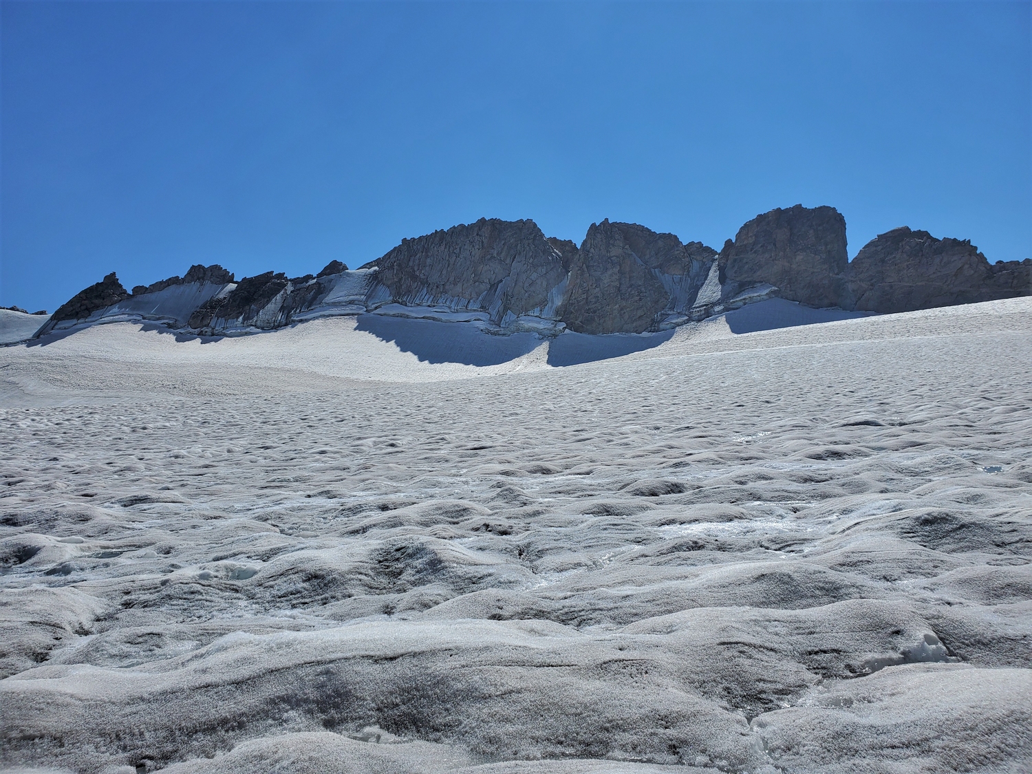
Like a refrain, this line kept repeating in my head as I walked through the line of fire. Intersecting crevasses forced me within a few feet of the largest fallen rock, and bits of white snow that had been ejected by the impact littered the glacier at my feet. I couldn’t have come up with a better description of the place if I tried: “the valley of the shadow of death.” I will fear no evil…fear no evil. Yeah, but that won’t save you if more rocks break loose…as they say, call on God but row away from the rocks. It just happens that I need to row toward the rocks right now.
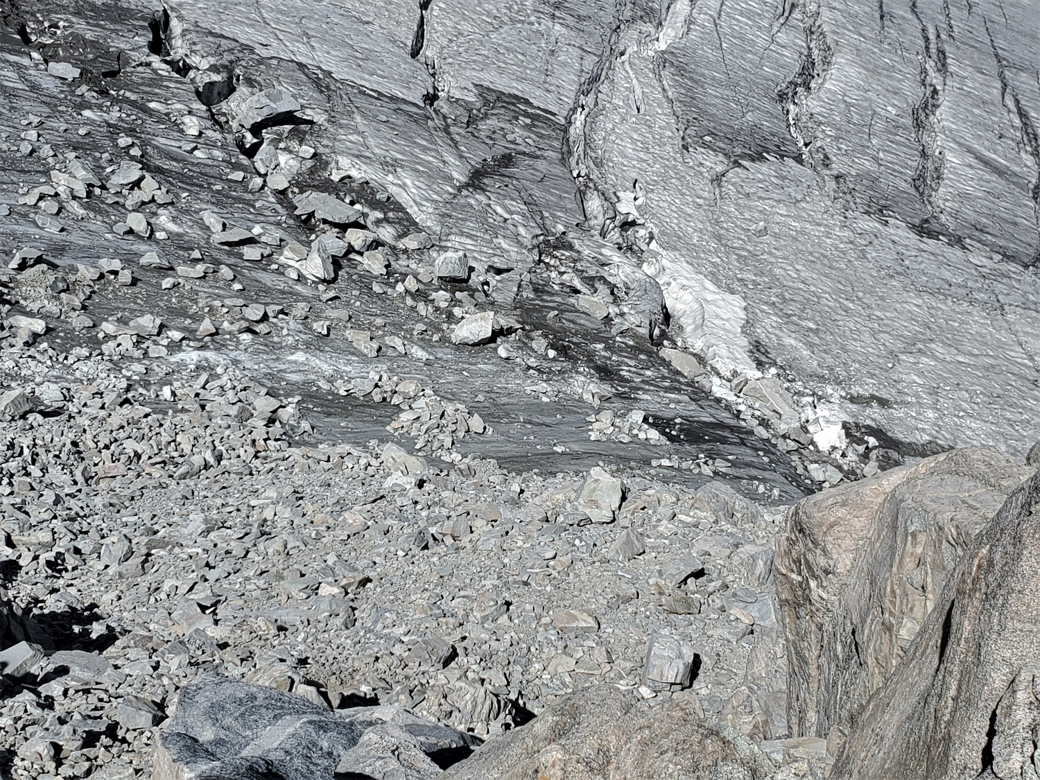
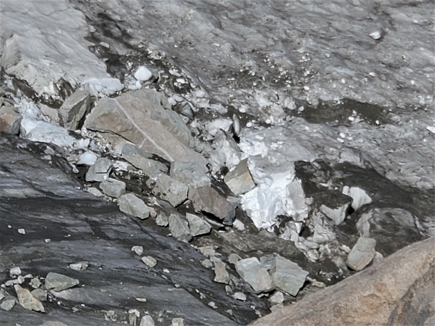
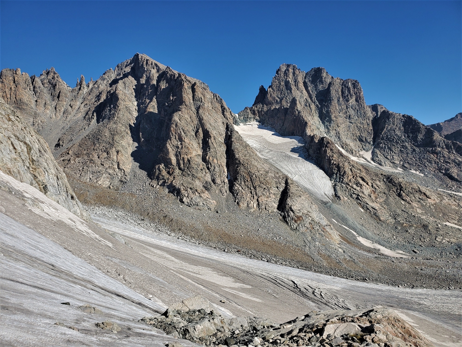
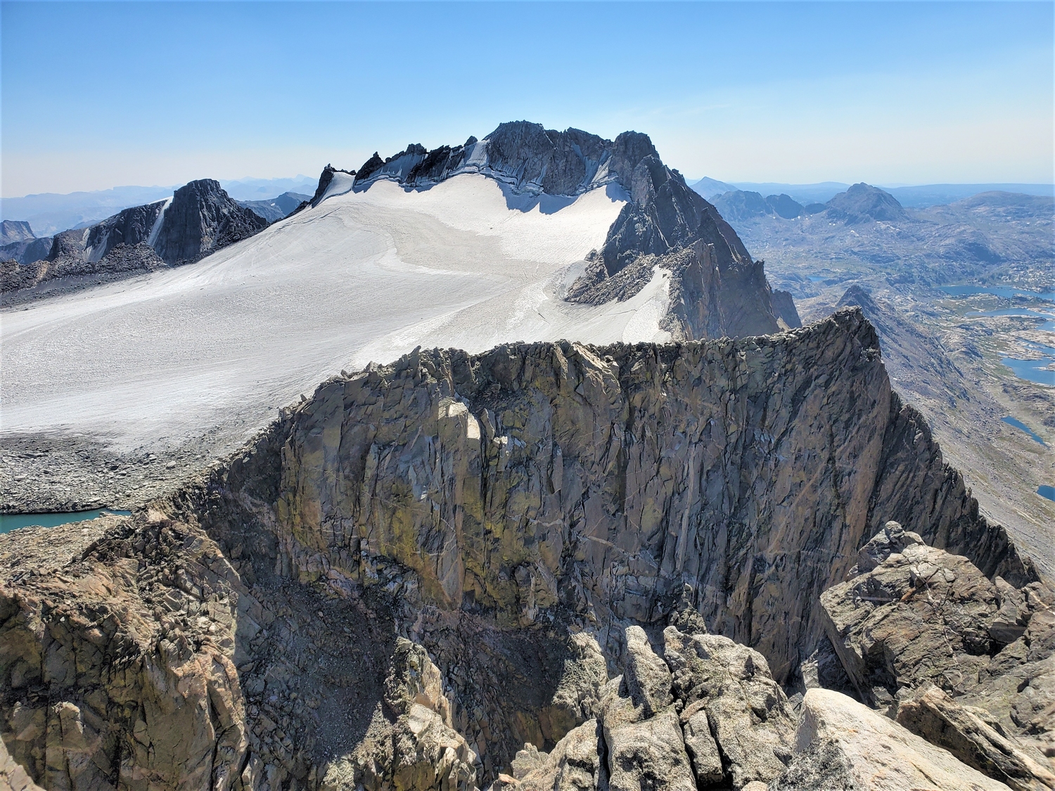
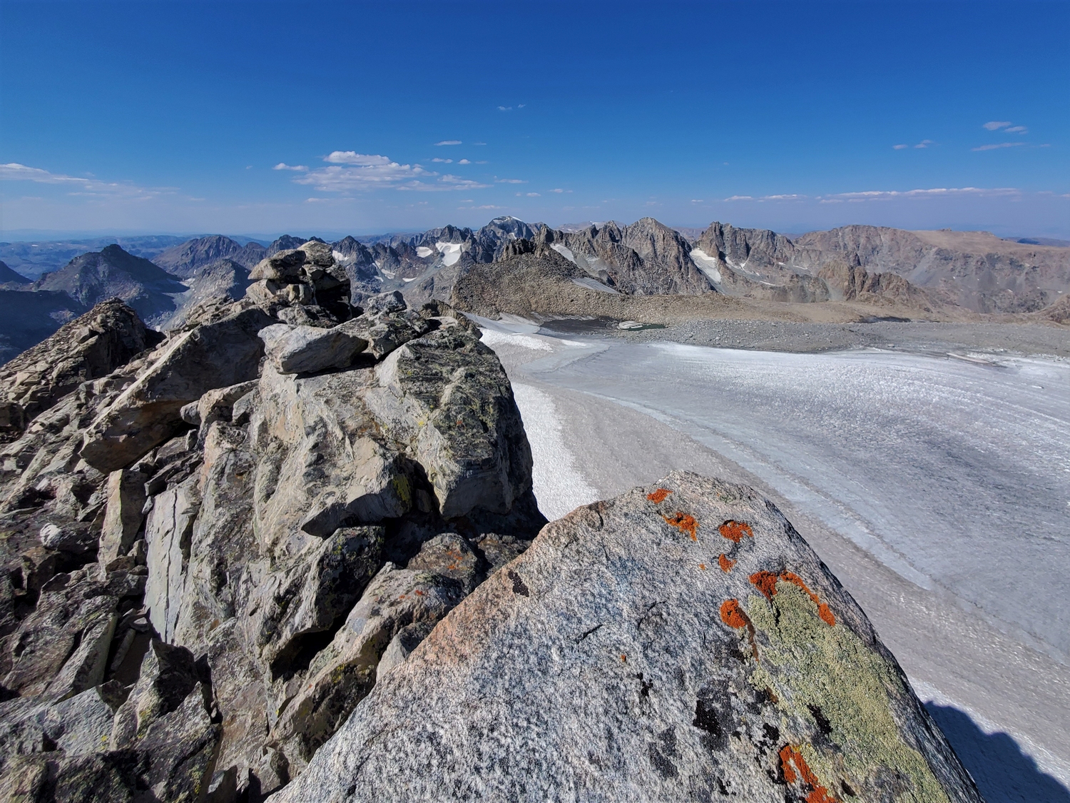
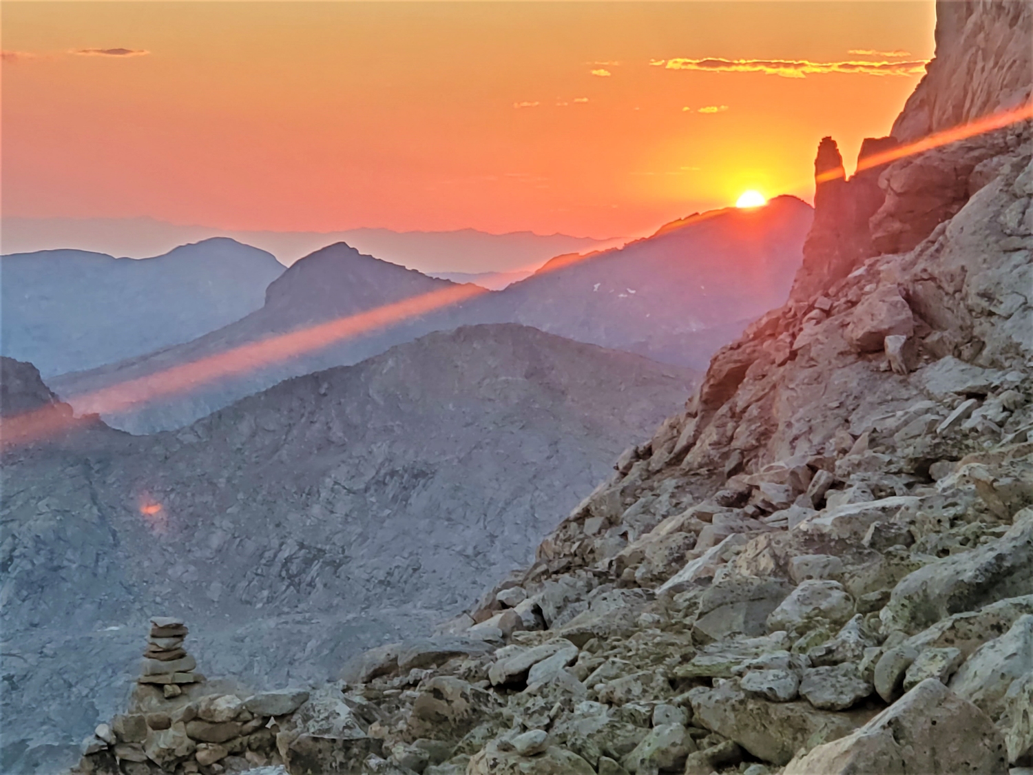
To minimize the time I was exposed to rockfall, I didn't stop for pictures. Once I was at a safe point on the ridge, I got this shot looking back at the gully and rockfall mess on the glacier. Some of these boulders were older; the fresh rockfall is concentrated on the right side.
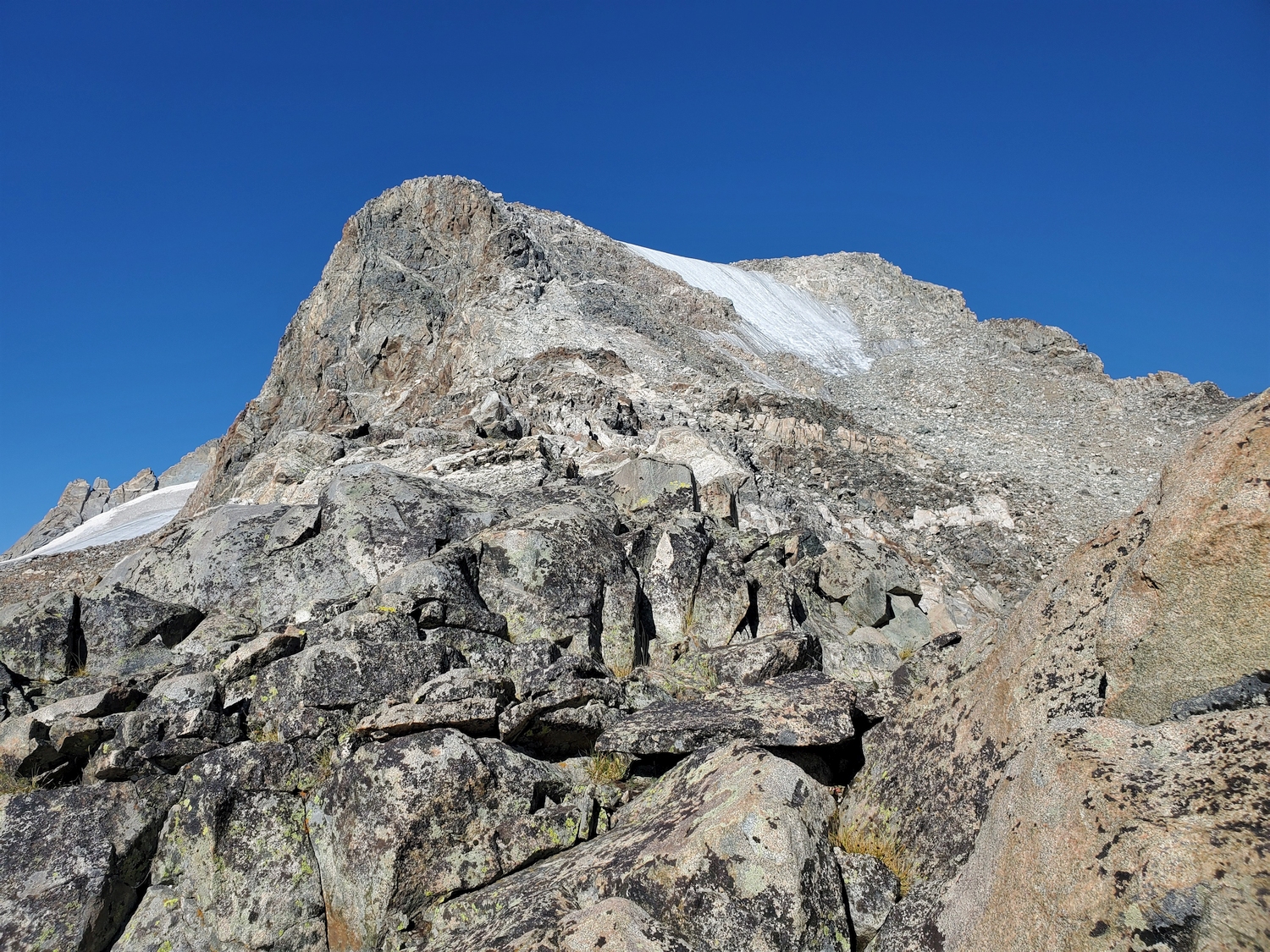
Closeup of some of the rockfall that I witnessed. The largest piece, seen here, was the size of a small car. I walked right through this area to get to the gully, then scrambled up out of the fall line as fast as I could.
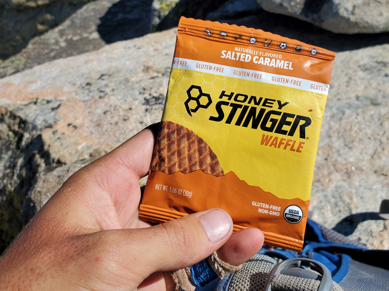
Enjoying my fourth time on the summit of Fremont, and second time this summer. The views never disappoint!
Starting with the first time I climbed Fremont with my dad during our family's 26-day Wind River Range traverse, I have a tradition of eating a Honey Stinger waffle on top.
The summit register seems to have lost its lid, but I found the notebook my mom and I signed in 2020, and signed the same page for the second time this year.
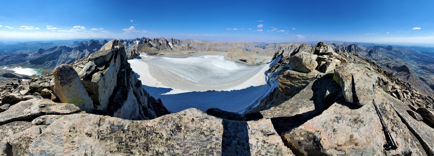
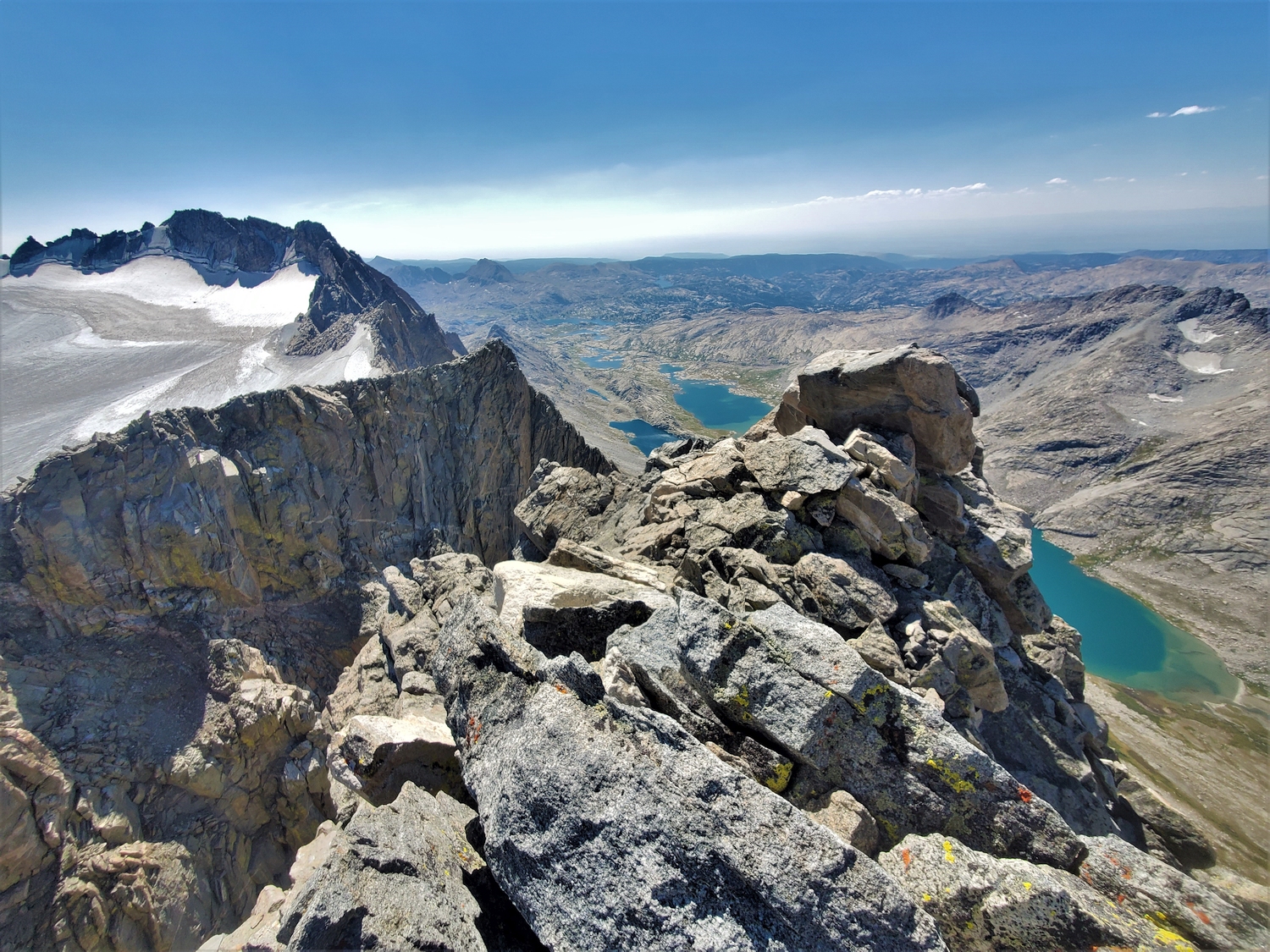
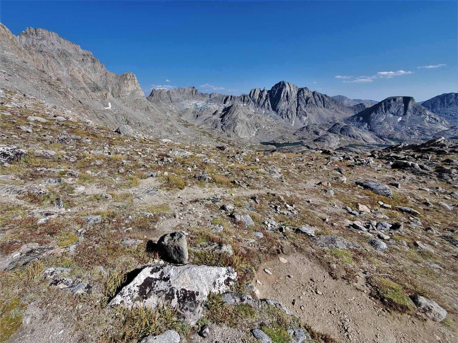
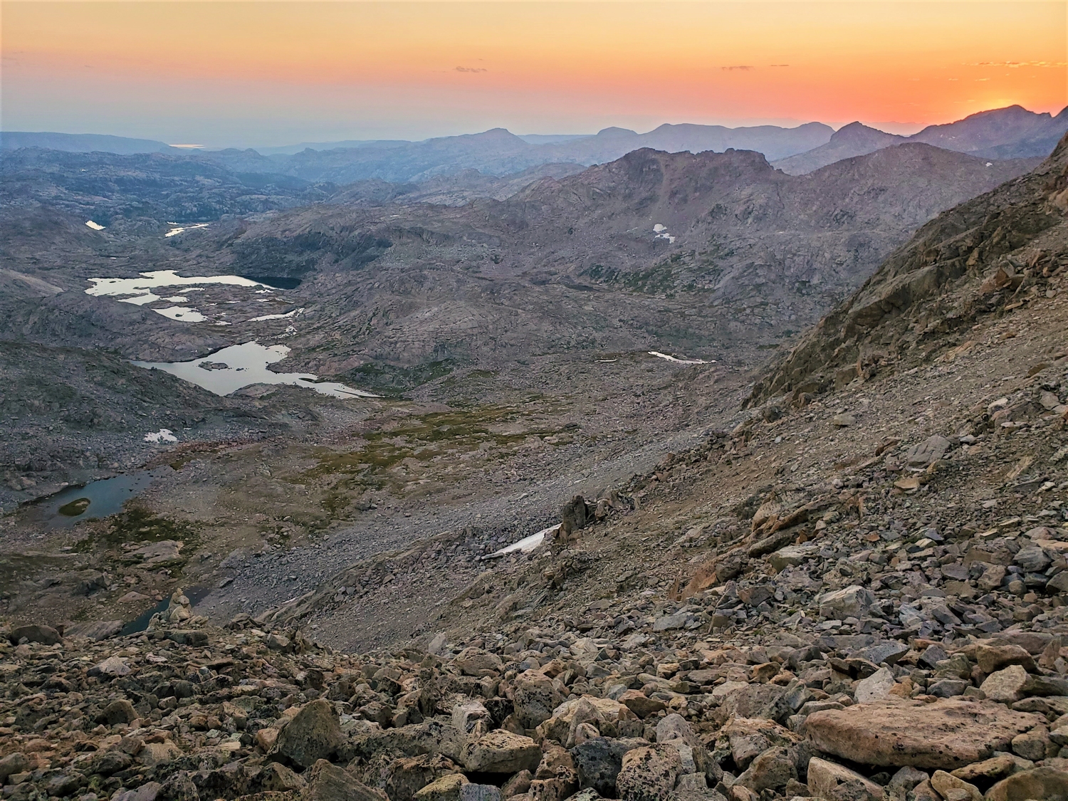
Summit panorama from Fremont Peak. Most of the 13ers in the northern Winds are visible on the left, and the few remaining 13ers I plan to climb tomorrow are visible behind the ridge on the right.
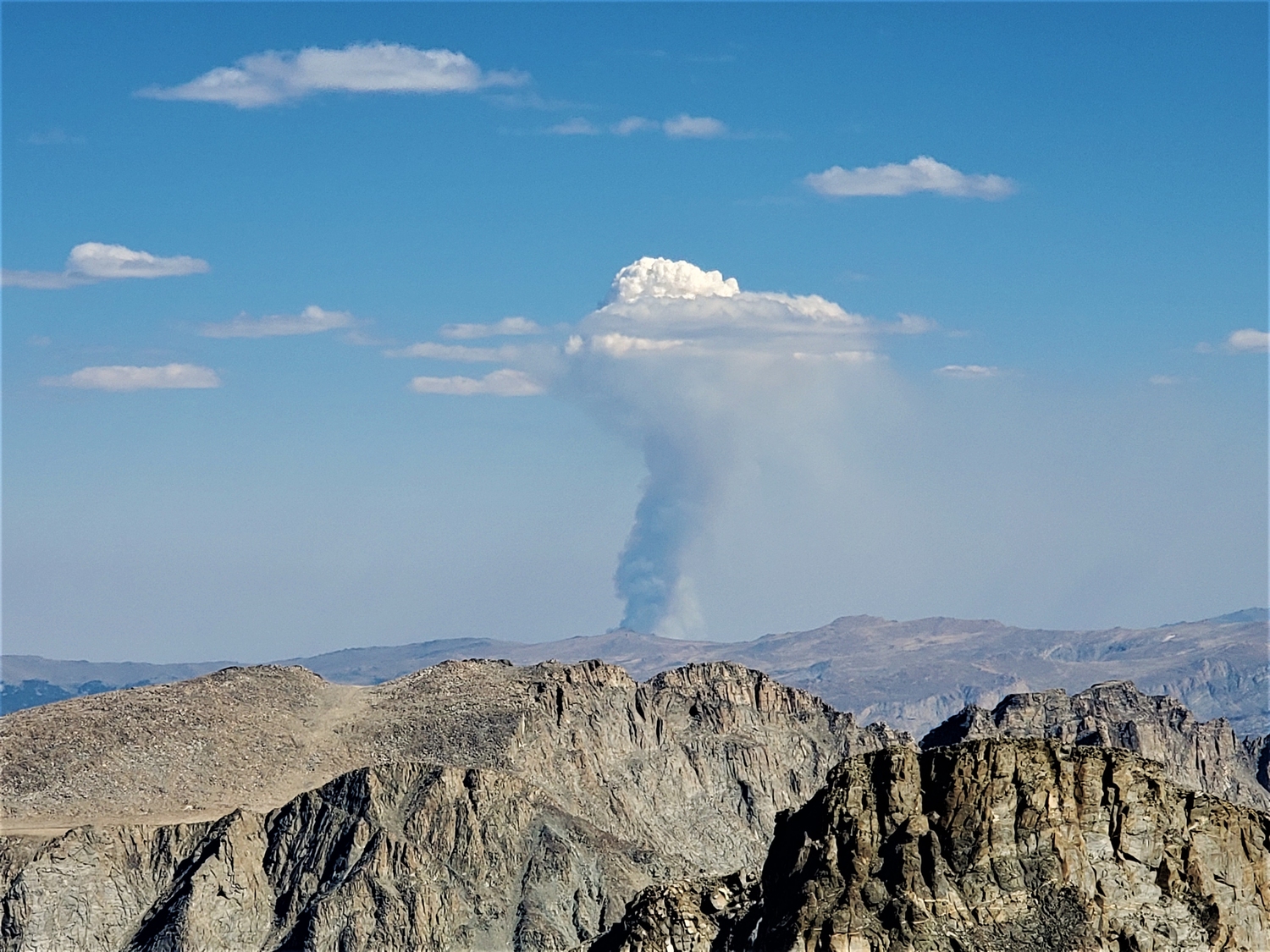
The diffuse wildfire smoke had mostly cleared out over the course of the day, but a more local fire had apparently ignited with the hot, dry weather. It turned out to be the Washakie Park Fire, which was first reported this day and would ultimately grow to about 2,500 acres over the next week. It was 25 miles away and on the other side of the range from our exit trail, so I wasn’t concerned yet, but I did hope that it wouldn’t get so big that it would impact access to Wind River Peak.
The summit of Jackson Peak is a gentle plateau on this side, but it drops off quite suddenly to the north.
Fremont Peak as seen from Jackson.
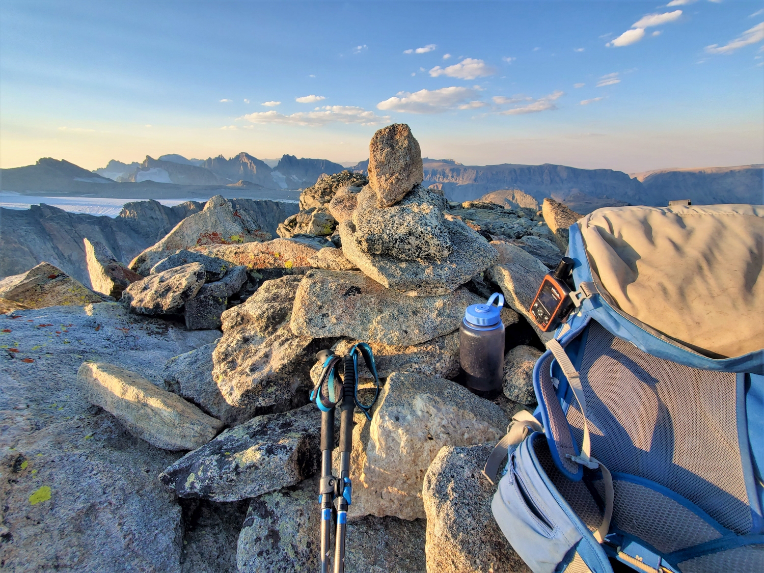
By now, I have a pretty well-established summit routine. First things first, of course, I touch the summit, sometimes walking around between a few rocks if I’m not sure which one is highest. I also send a preset message from the Delorme as verification that I reached the summit. Then I drop my pack (if I haven’t stashed it lower on the peak) and start munching on some food, since it takes me a long time to eat when I don’t have much appetite. Meanwhile, I take my phone off airplane mode and reload my weather forecast tabs, maybe checking my email if I’m not in a hurry. I usually called me dad to break up the silence and regain some human connection, and he would kindly chat for a few minutes. During all this time, I would be taking pictures in all directions and drinking water when I could.
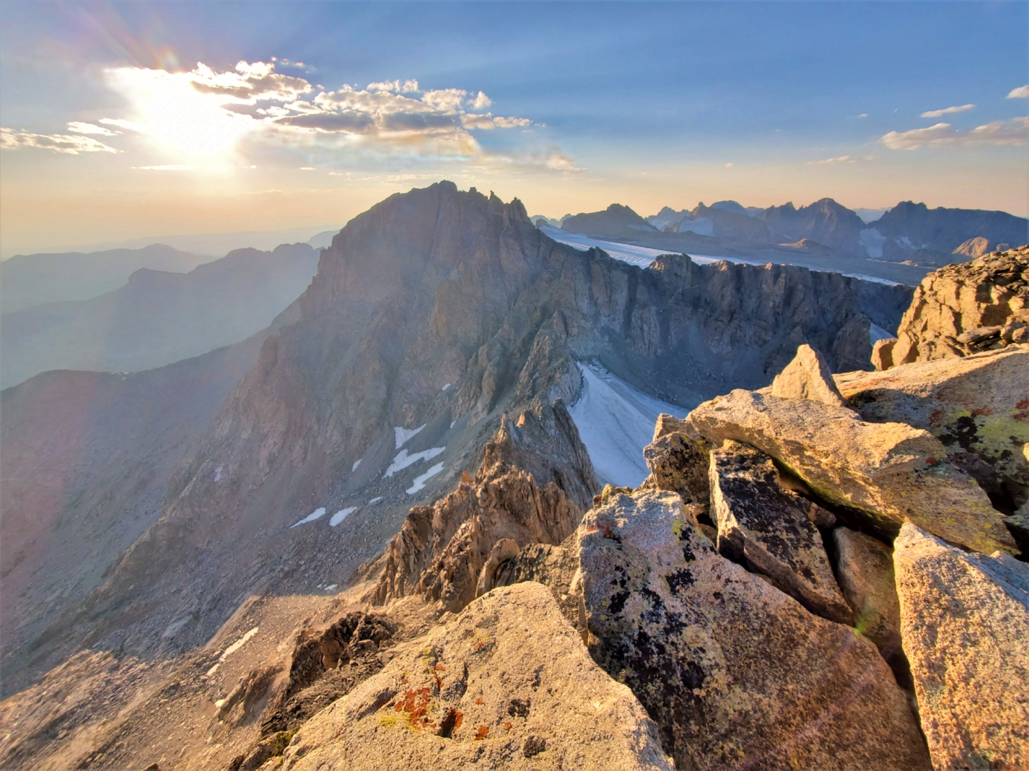
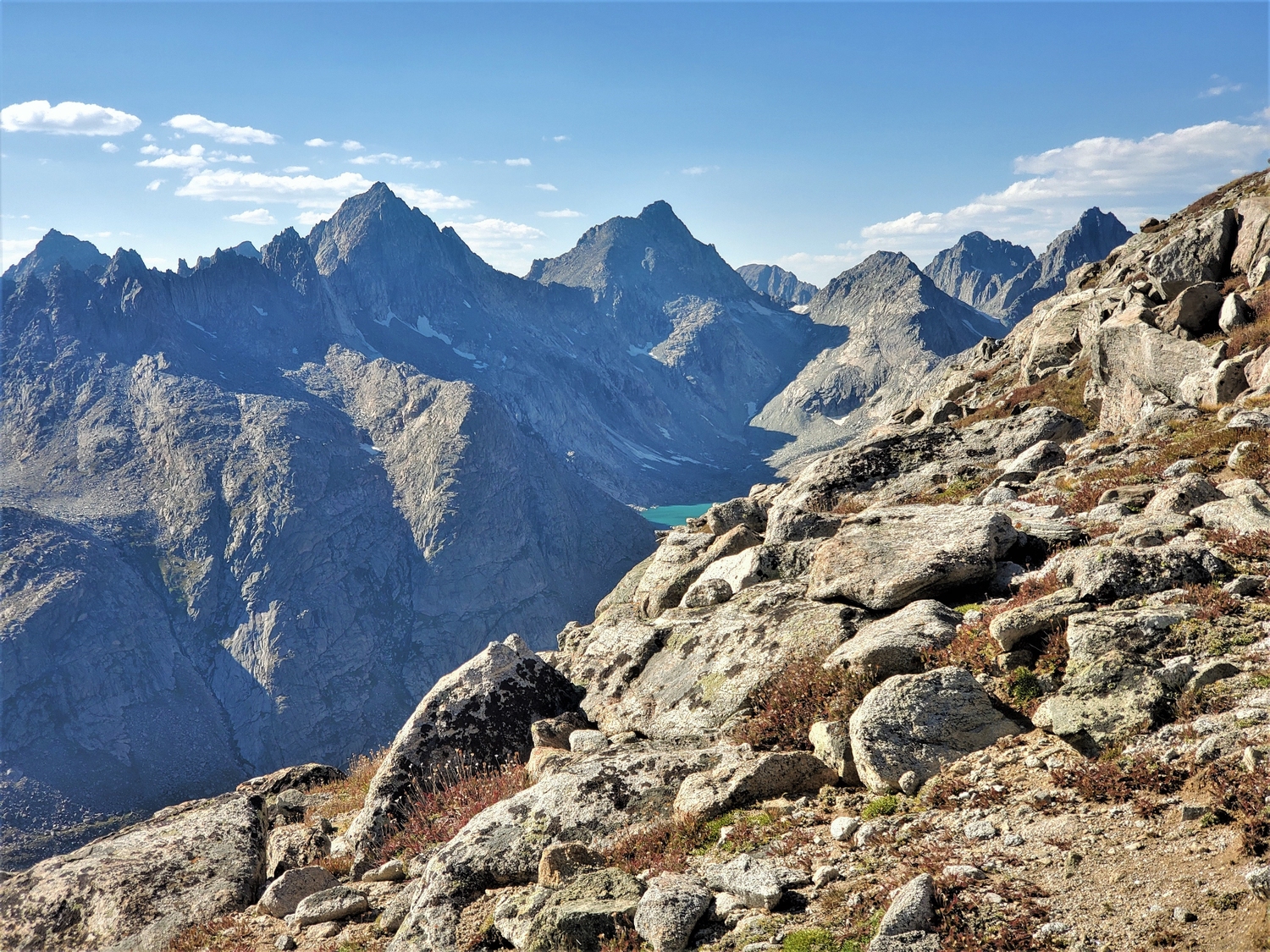
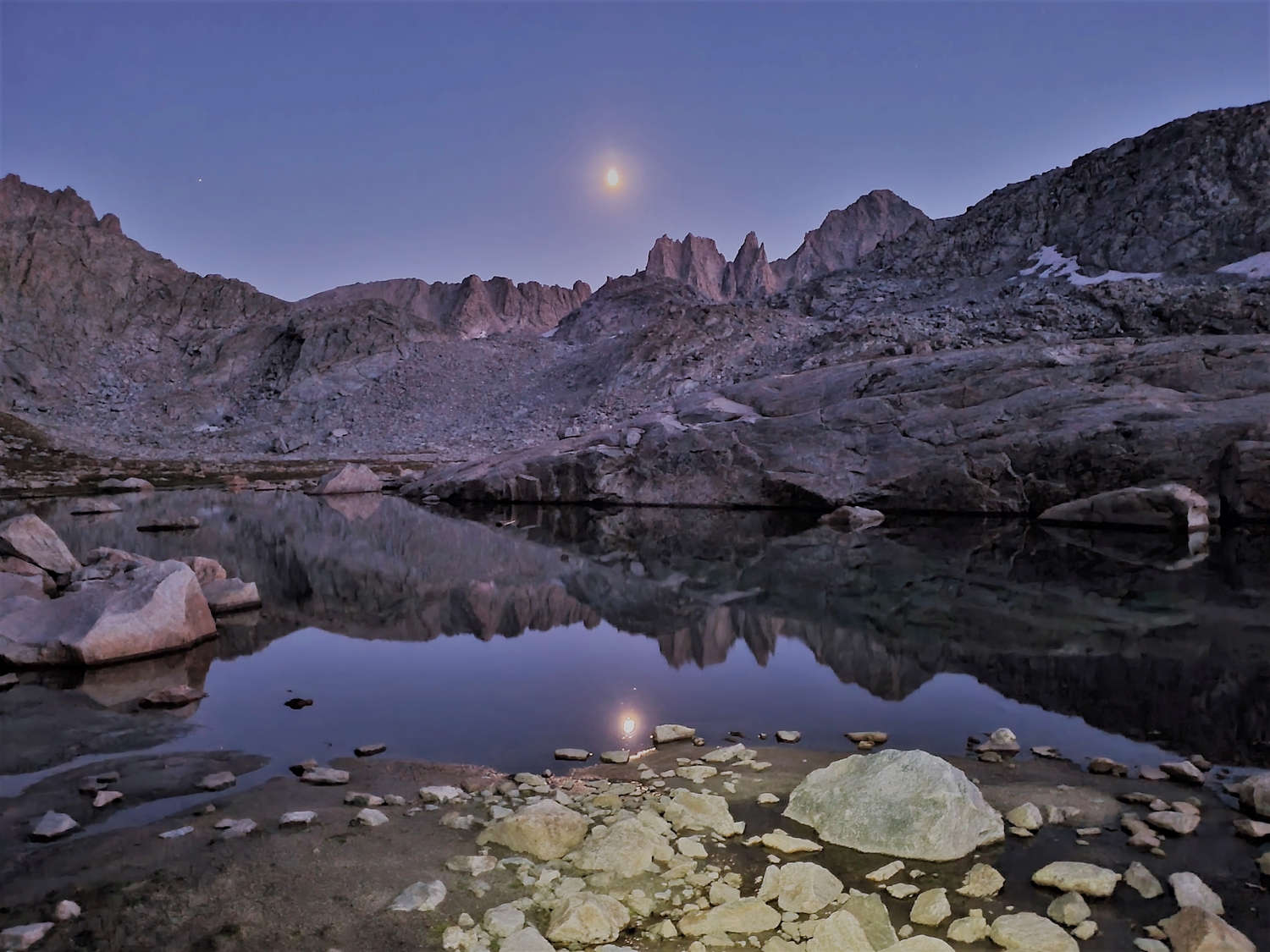
Evening light makes the granite domes of Indian Basin look like some sort of fantasy land.
Telephoto view of the central 13er cluster. Left to right, the most obvious peaks are Sacagawea, Woodrow Wilson, Helen, Gannett, and Warren.
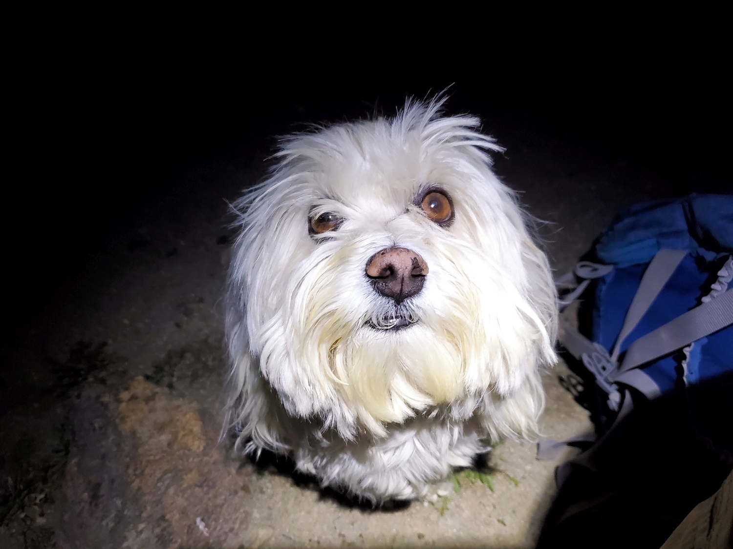
Tess, our 10 lb. Havanese, who kept my mom company in camp. She's a hiking champion and has no problem with the long hike between Elkhart and Titcomb!
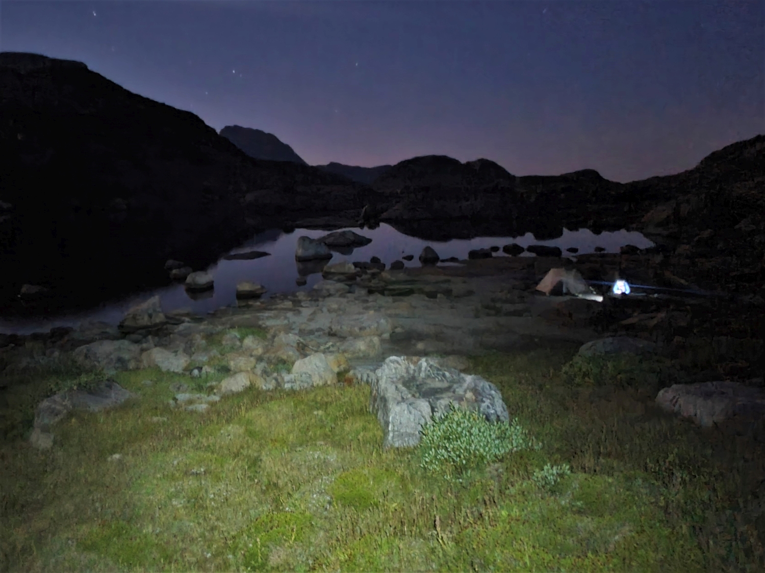
At camp, I settled into the routine that had emerged over the past days, now for the last time this trip. After an appetizer of instant soup with bouillon, I would slowly eat my freeze dried dinner and sip Kool-Aid while trying to summon the energy to do simple tasks like sorting my gear. I must have been pretty exhausted at this point, because much of it is just a nondescript blur. I do remember feeling pretty confident that I could finish the northern Wind River 13ers and hike out tomorrow, putting me barely on track for the record.
However, the latest weather updates were starting to turn sour, with a major storm system forecast to move into Wyoming over the next couple days. Would I succeed on all the hard peaks, only to be foiled by weather at the very end? Oh well, there was nothing I could do about it for now–I just needed to get to sleep and pull through one more big day, and by tomorrow night we’d all be reunited in the comfort of the RV and I could deal with whatever came next.