Boardman Peak’s elevation and prominence qualify it as an official 13er, but few mountaineers would go out of their way to climb it. Still, the gentle slopes of Downs Mountain’s southern sister invite wanderers on the high Divide country to pay a visit and enjoy the summit views over the vast Bear Basin and Downs Fork valleys. The lakes and canyons in this area reward those who are willing to slow down and explore a bit.
Formerly known as Unnamed Point 13062, I proposed the name Boardman Peak after the Boardman family who homesteaded the nearby Torrey Valley in the early 1900s. Five generations of Boardmans have lived within 15 miles of this peak and pioneered new mountaineering routes in the area, including one of the earliest documented ascents of nearby Downs Mountain a century ago.
General Considerations
As with the other Continental Divide 13ers, Boardman Peak is readily combined with its neighboring summits as part of a long traverse. On the other hand, those who wish to spend more time in this region are encouraged to develop their own itineraries, unfettered by guidebooks.
Route 1: North Slopes – Class 2
From the high plateau connecting Boardman Peak to Downs Mountain, a map or GPS is useful to identify which rounded hill is actually the targeted peak. No real route description is needed; simply walk along the Divide, bypassing subsidiary hills if desired, until directly northeast of the summit. Hike up the gentle slopes to the top. Some remnant snow patches may ease or hinder your passage over the blocky talus in the early season.
Route 2: South Slopes – Class 2
Boardman Peak has a more readily identifiable profile when viewed from the south. A long traverse along the eastern slope (or over the summit) of Yukon Peak delivers you to the peak’s north saddle. Climb broad talus slopes due north past a few ridge-top rock outcrops to reach the wonderfully desolate summit.
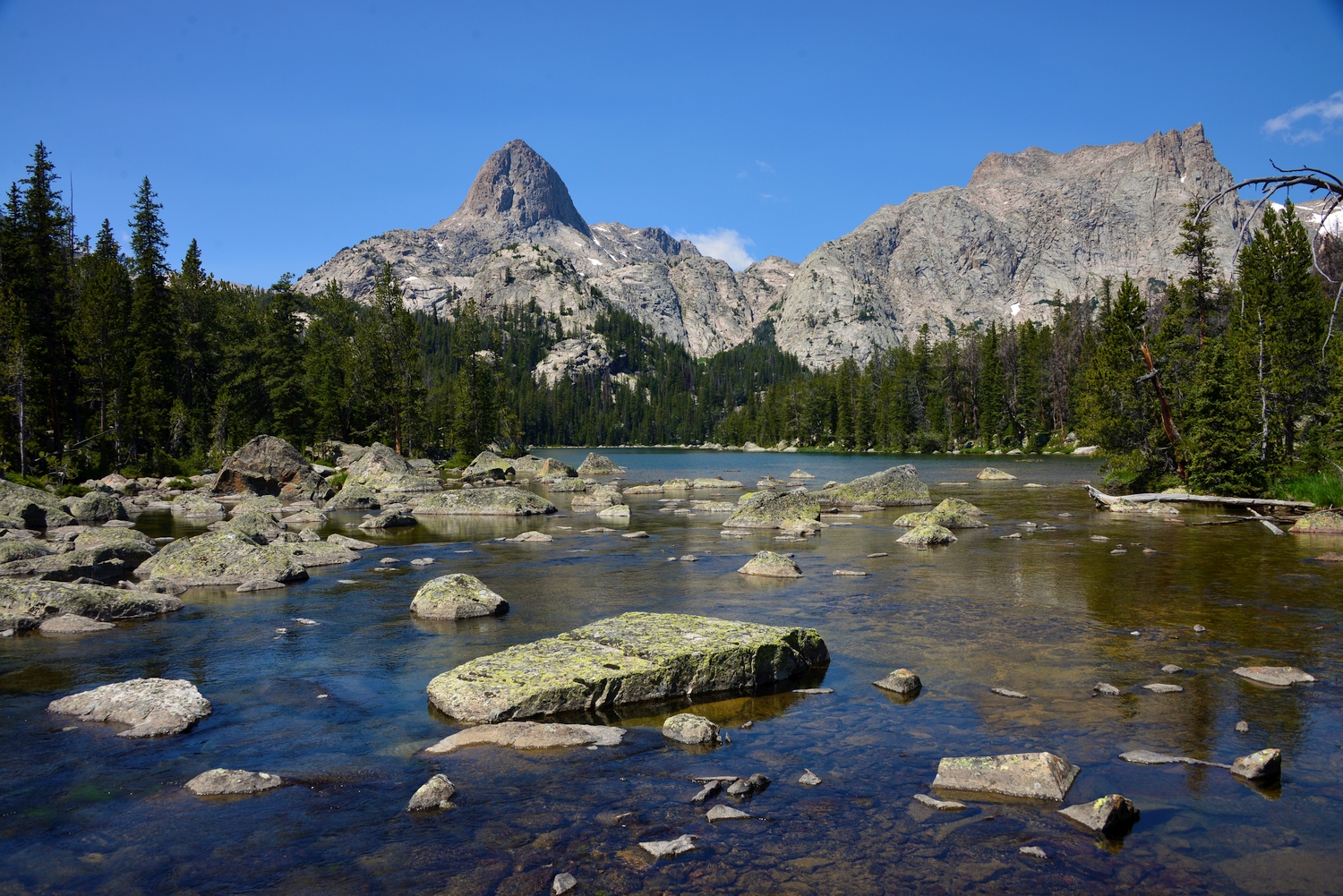
Exploring the Downs Fork near U.N. Point 13062, with Bears Tooth on the left (2016)
The high ridge that connects Downs Mountain (far right) to Point 13062, its summit hidden just behind these fore-summits (2016)
Point 13062 (bump above Downs Glacier on the left) is usually overlooked when viewing the Downs Mountain massif, seen here from the summit of Goat Flat (2016)
U.N. Point 13062 (center, below horizon, with snow patch) blends into the background when seen from the summit of the much higher Downs Mountain (2016)
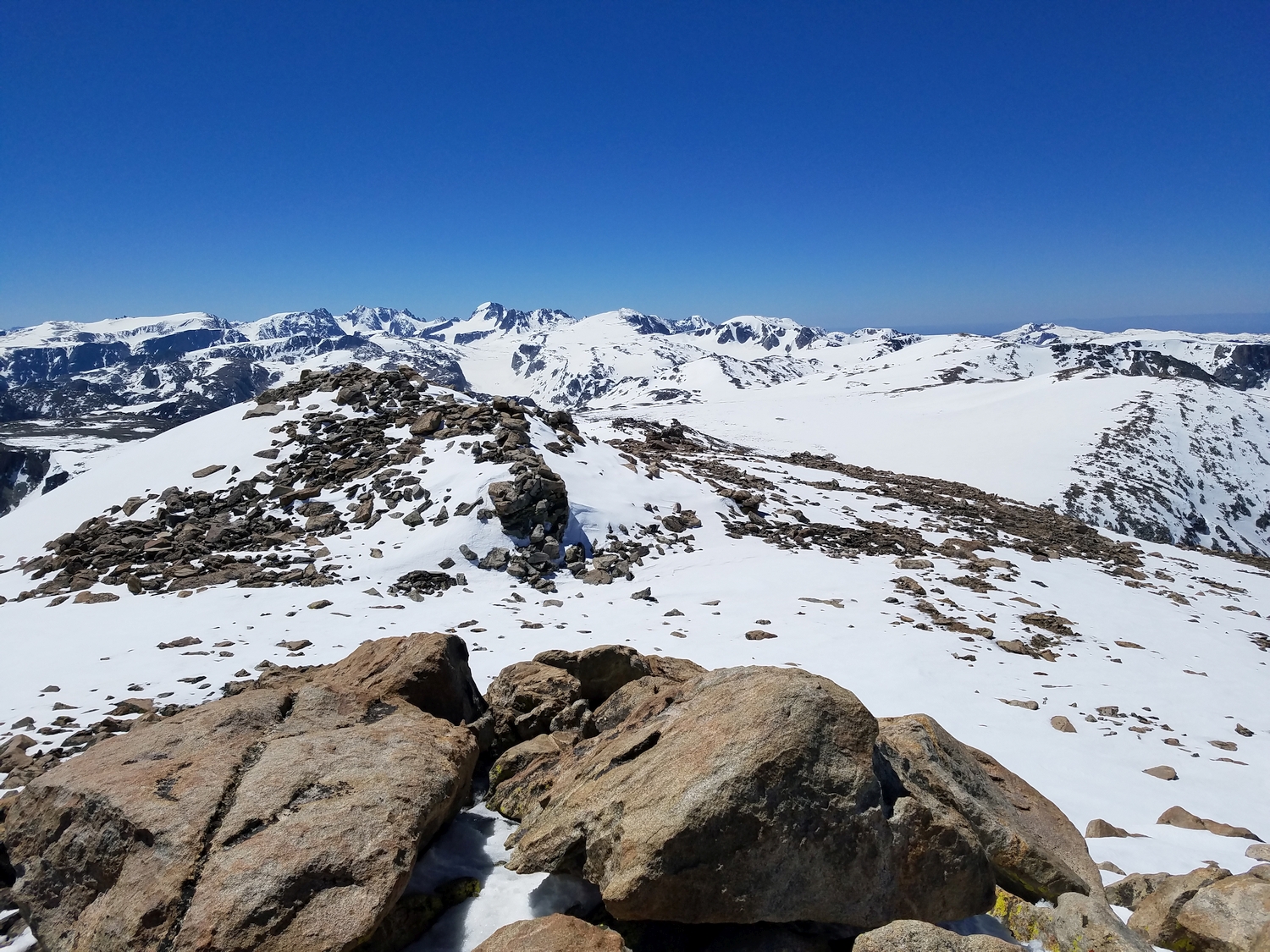
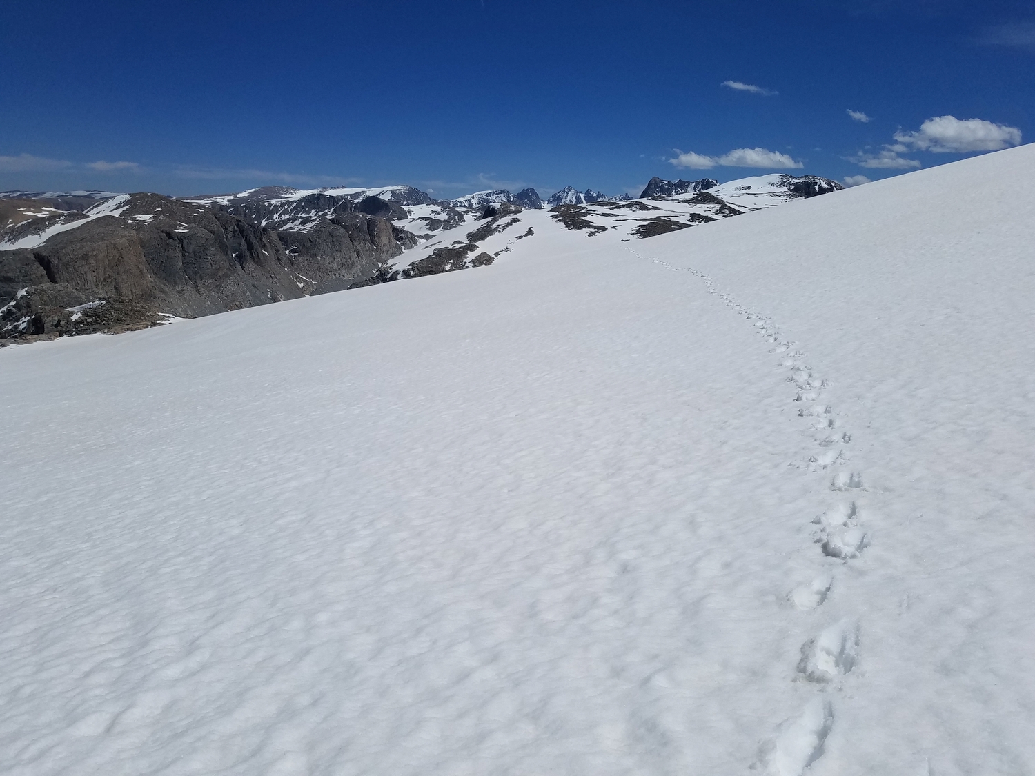
Snowy view from Downs Mountain in June, preparing to hike to Point 13062, sometimes called South Downs (2019)
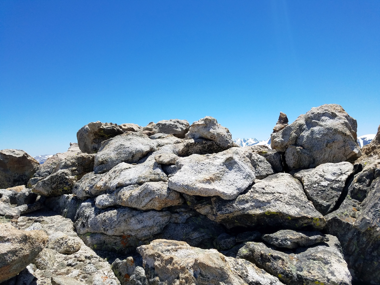
Summit of Point 13062 (2019)
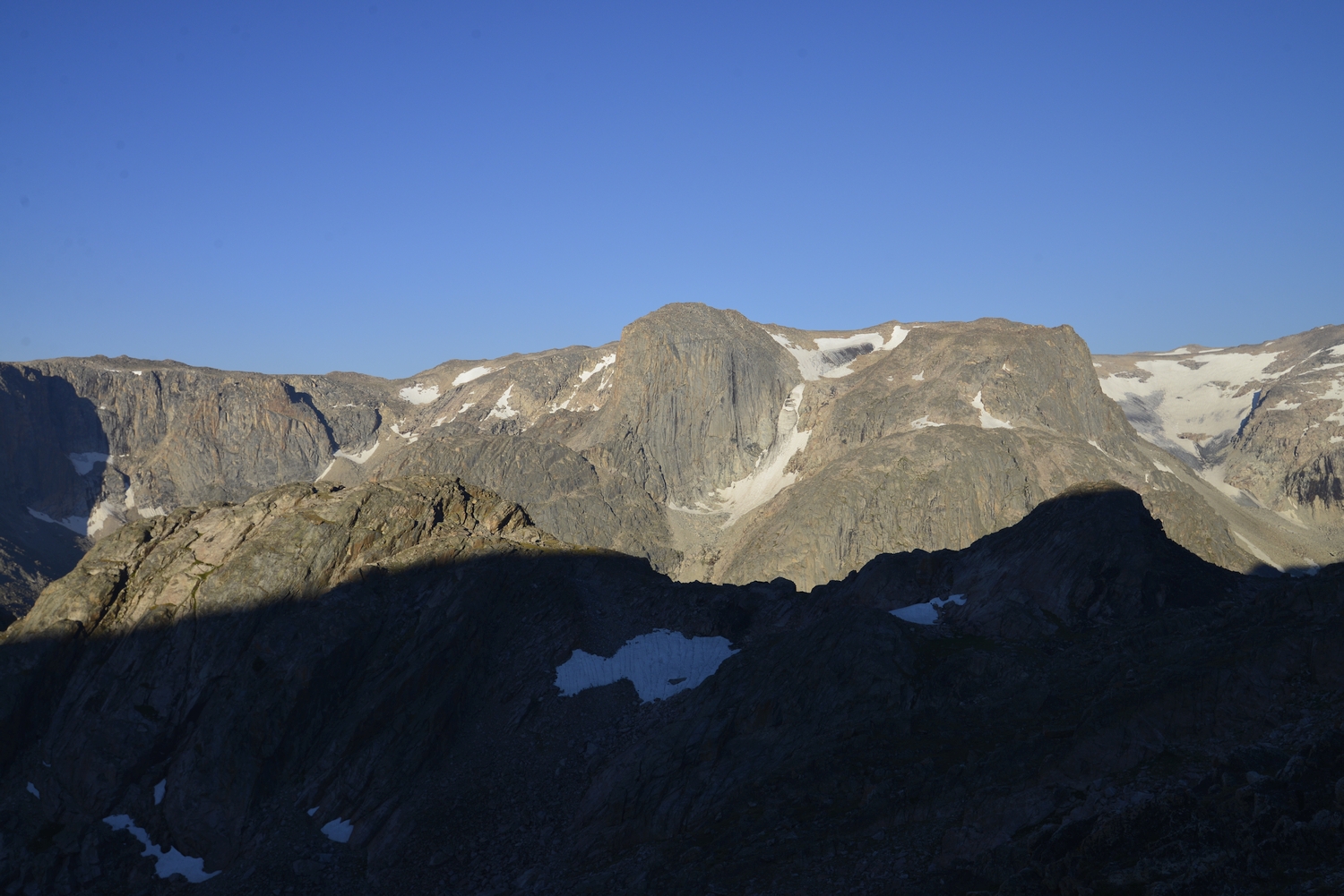
Yukon Peak (left) and the Connie Glacier as seen while descending Point 13062’s south slopes (2019)
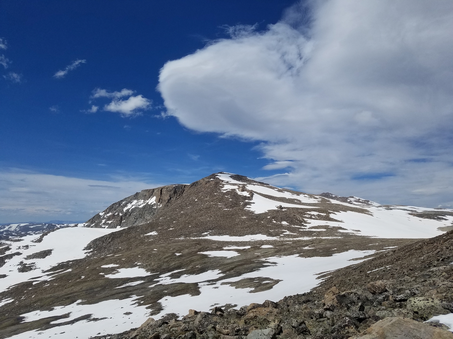
U.N. Point 13062 looks like more of a proper peak when viewed from the south (2019)
Hiking along the Continental Divide with Point 13062 on the left and Downs Mountain in the distance (2019)
View west over the Downs Fork with Bears Tooth on the left (2019)
Snowy traverse past Yukon Peak as I hike towards Point 13062 (2020)
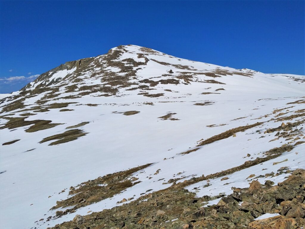
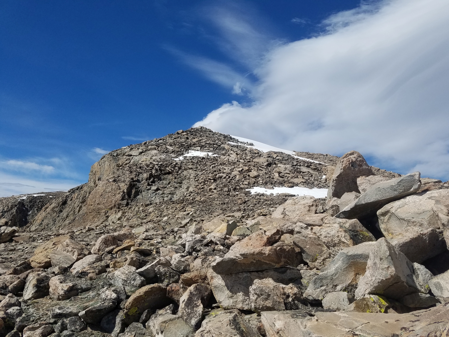
The south slopes route on this unnamed 13er climbs the talus in the center of this view (2020)
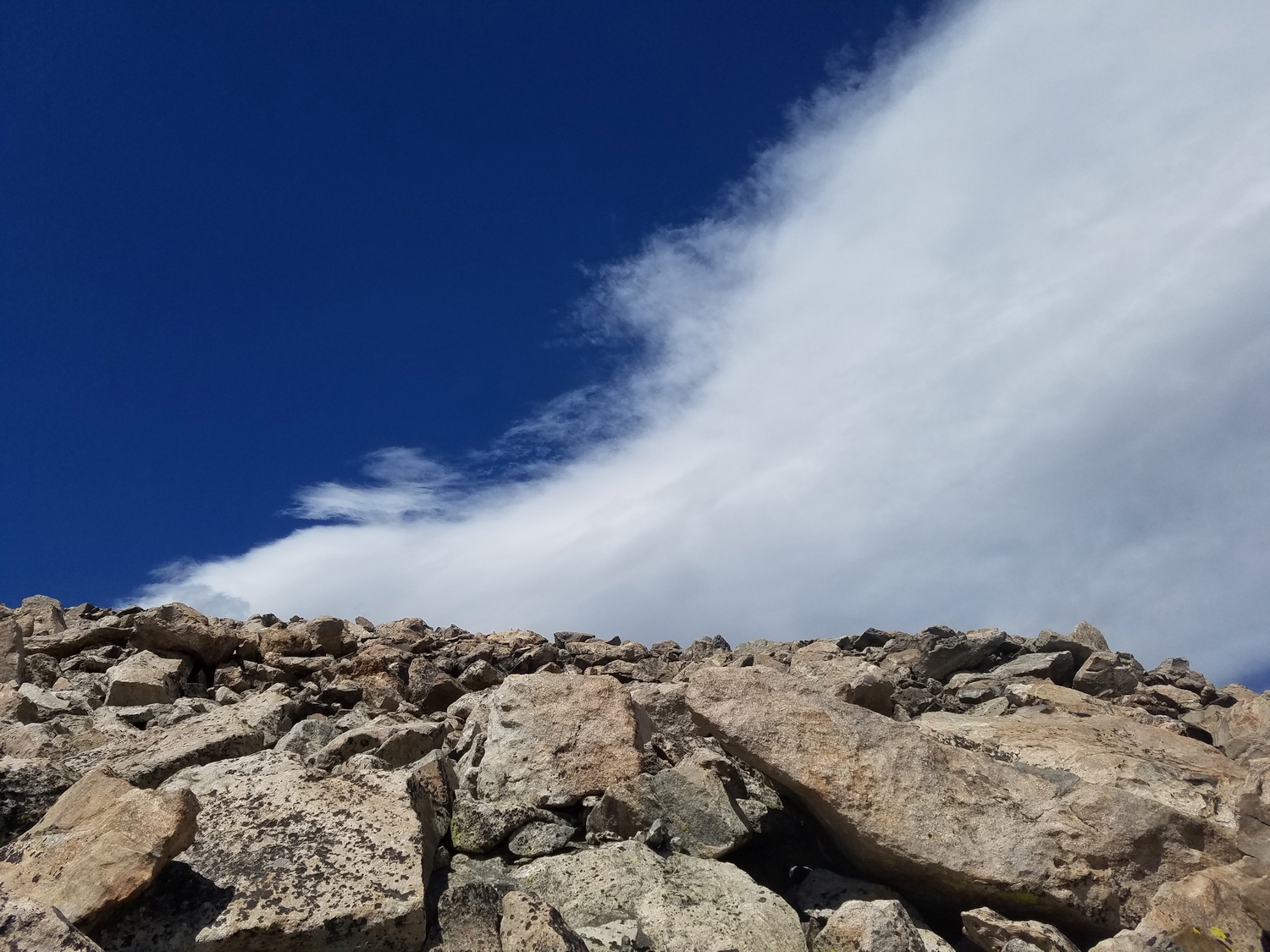
Dramatic windswept cloud over some typical frost-shattered talus terrain as I climb the south slopes route (2020)
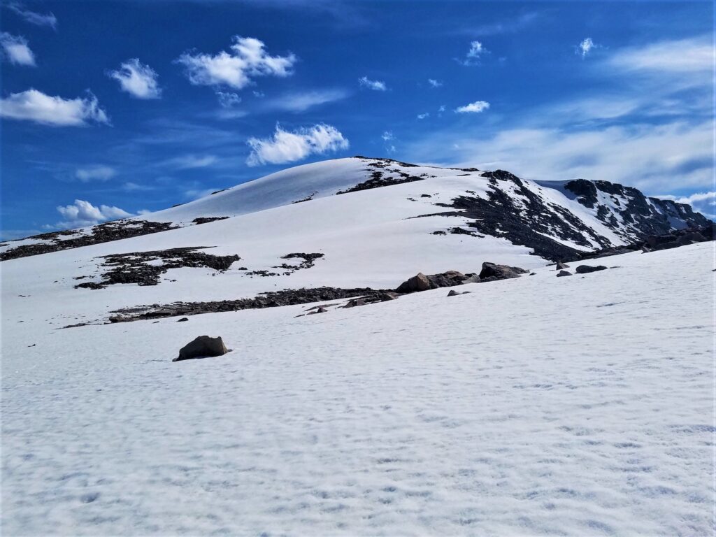
Nearing the summit of Point 13062, my 7th thirteener of this day (2020)
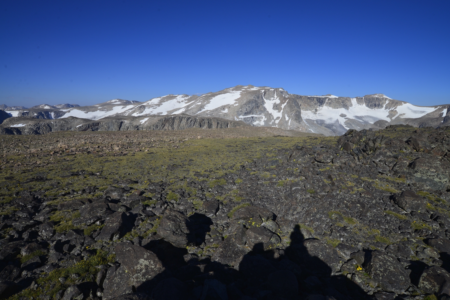
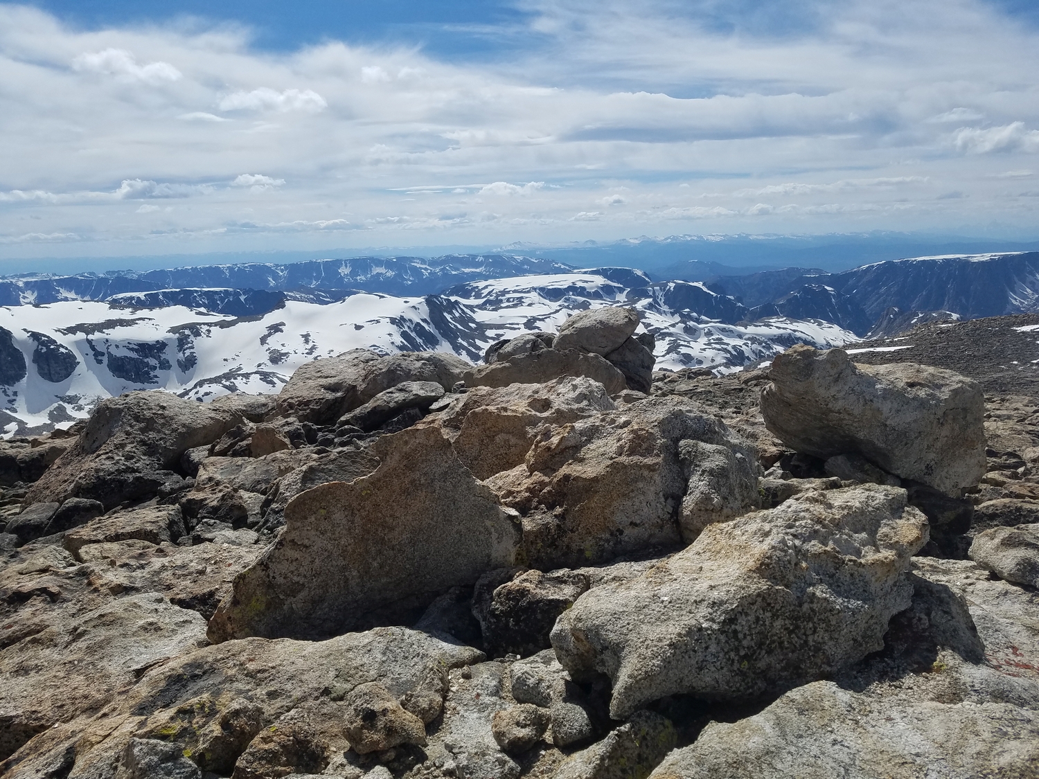
Summit of U.N. Point 13062, looking west (2020)
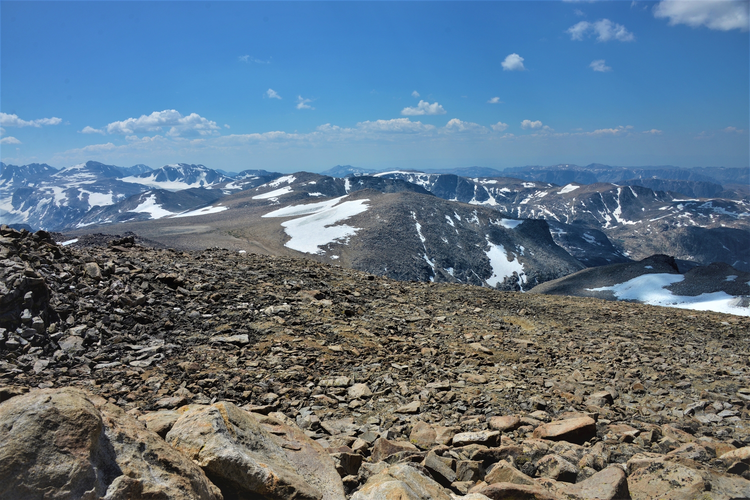
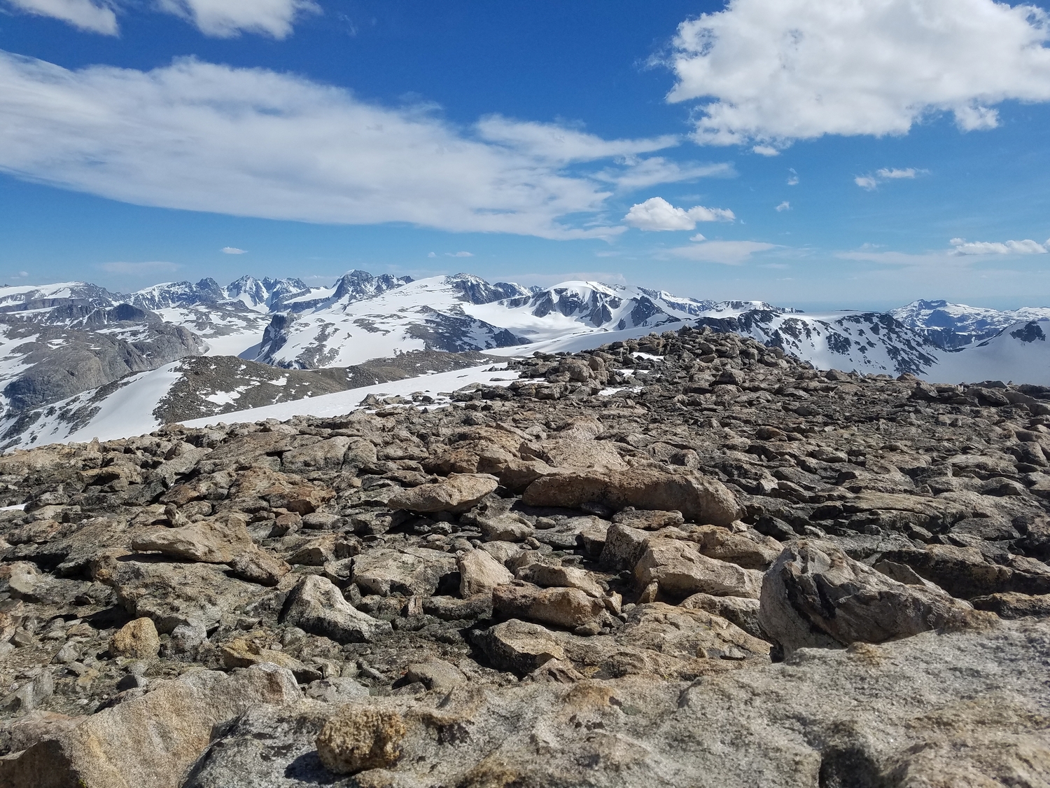
View south from the top of Point 13062, with many of the 13ers I climbed earlier in the day visible in the distance (2020)
Looking west across the upper Downs Fork of Dinwoody Creek to Horse Ridge (distant) from the top of Point 13062 (2020)
Descending the snowy north slopes of Point 13062 and looking back to this mellow mountain as I head towards Downs (2020)
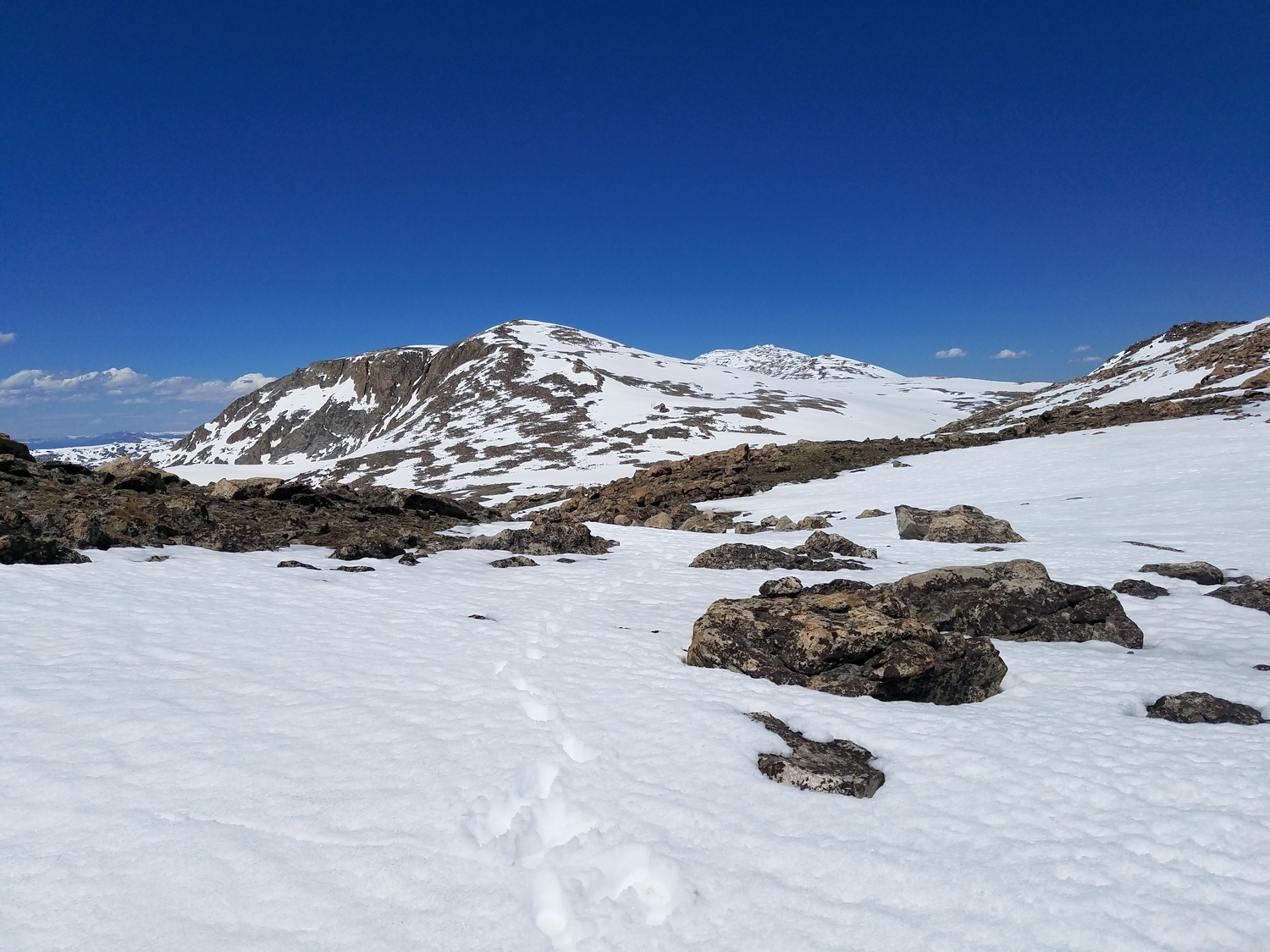
Heading south from Downs, with a dozen more 13ers visible on the horizon. I’ll climb most of the visible ones today.
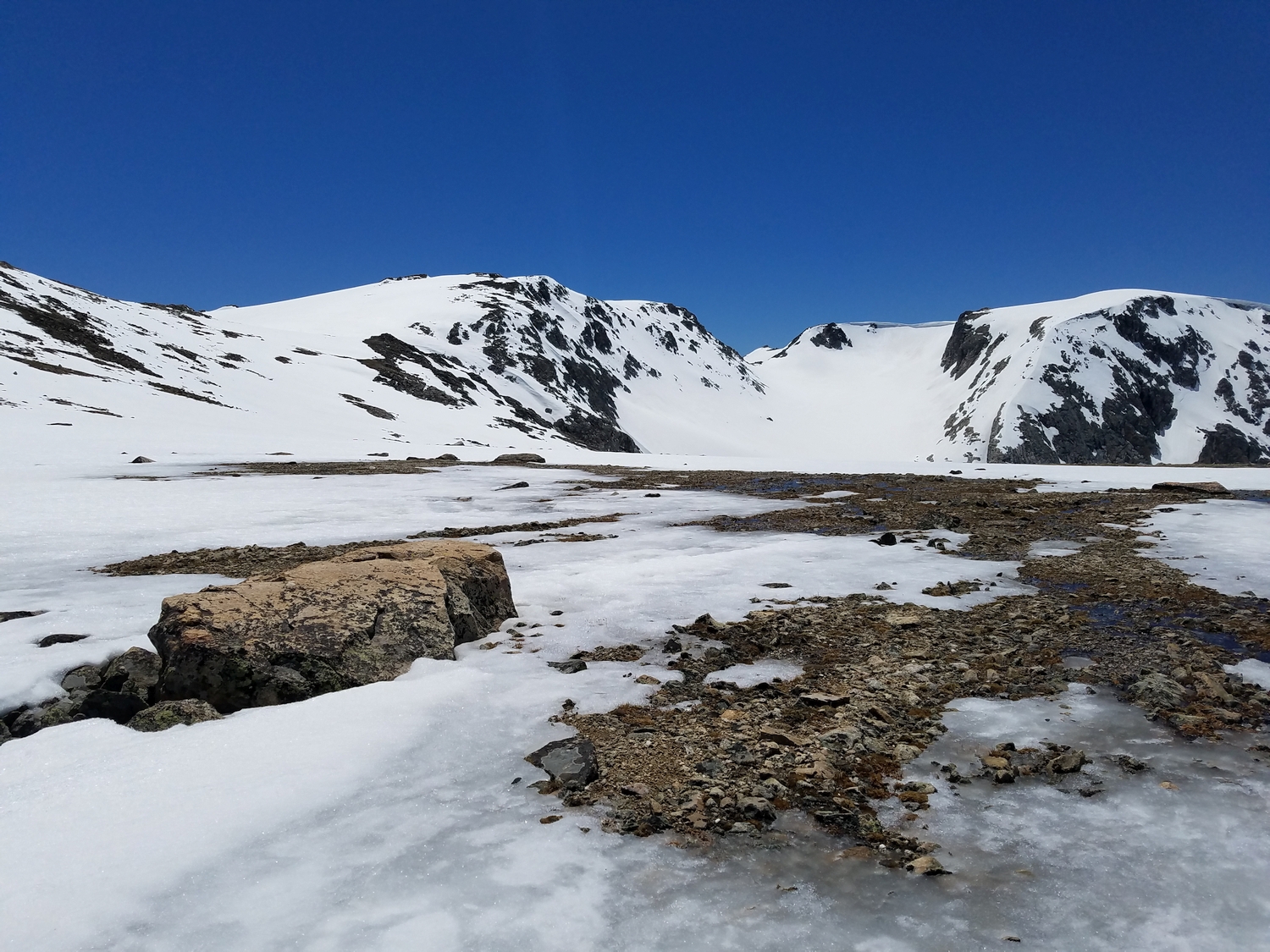
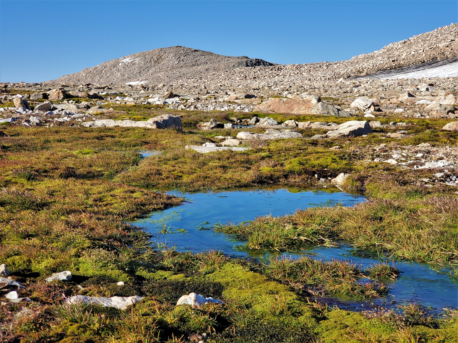
This small pond is one of the only water sources on the vast and barren Continental Divide plateau; luckily I don’t need to replenish my water quite yet.
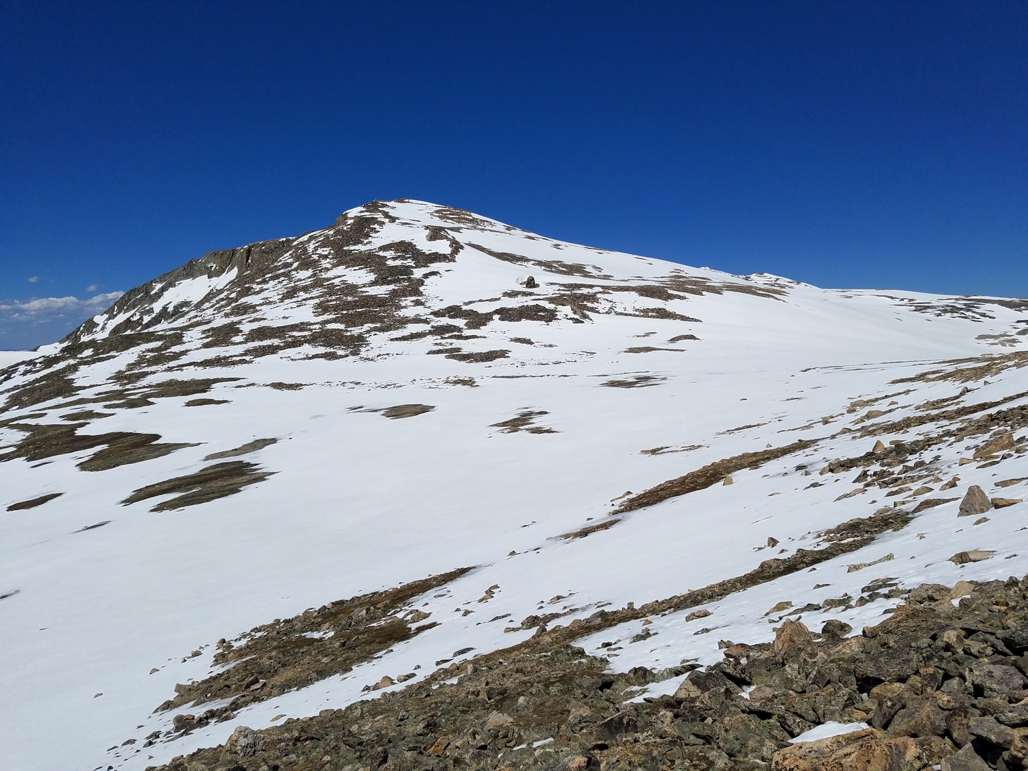
Approaching the unnamed 13er south of Downs Mountain, a rounded talus mound. I have proposed the name Boardman Peak after my family that homesteaded nearby in the early 1900s.
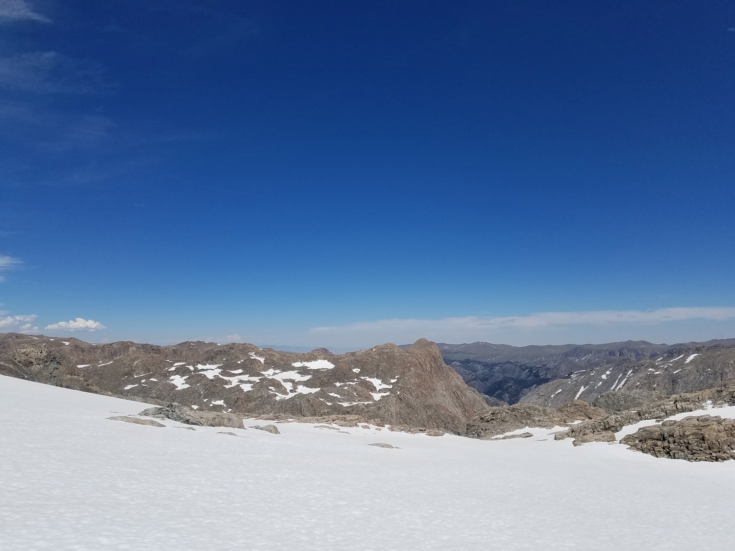
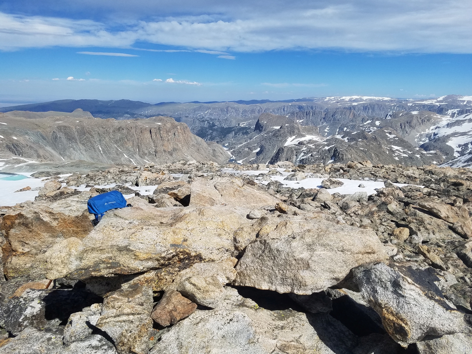
Summit view from Boardman Peak, looking West across the Green River valley.
After Boardman Peak, I continue south along the Divide, passing Kevin Lake and the Connie Glacier as I ascend and traverse around Yukon Peak.
DISCLAIMER: Mountain climbing is dangerous. Activities described on this page may lead to serious injury, death, and property damage. This webpage is presented with no warranty express or implied. Pictures and text are for entertainment purposes only. No commercial use allowed; all rights reserved.