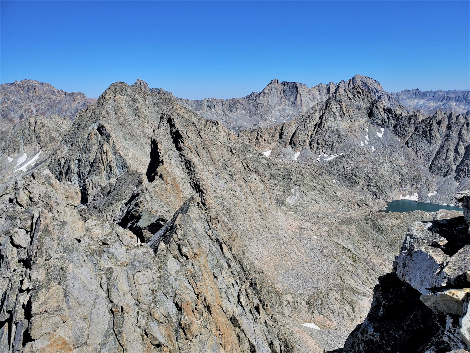
Introduction
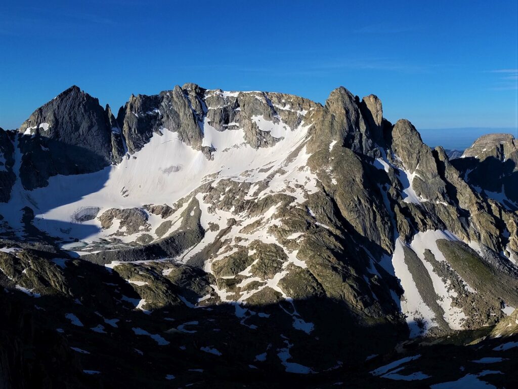
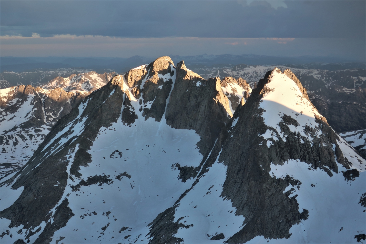
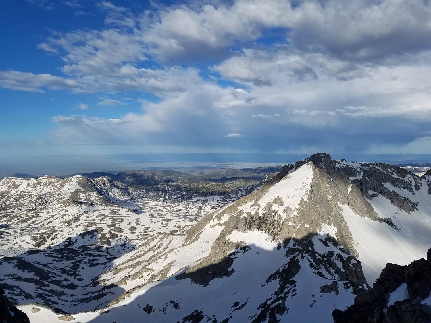
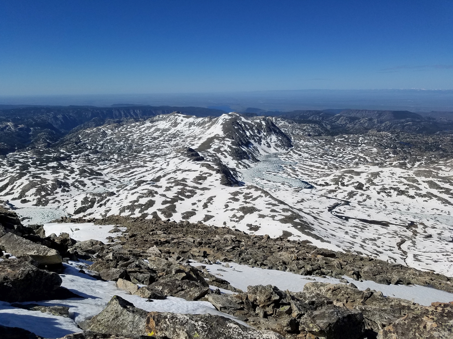
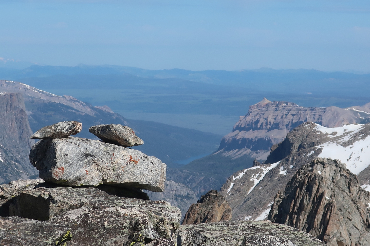
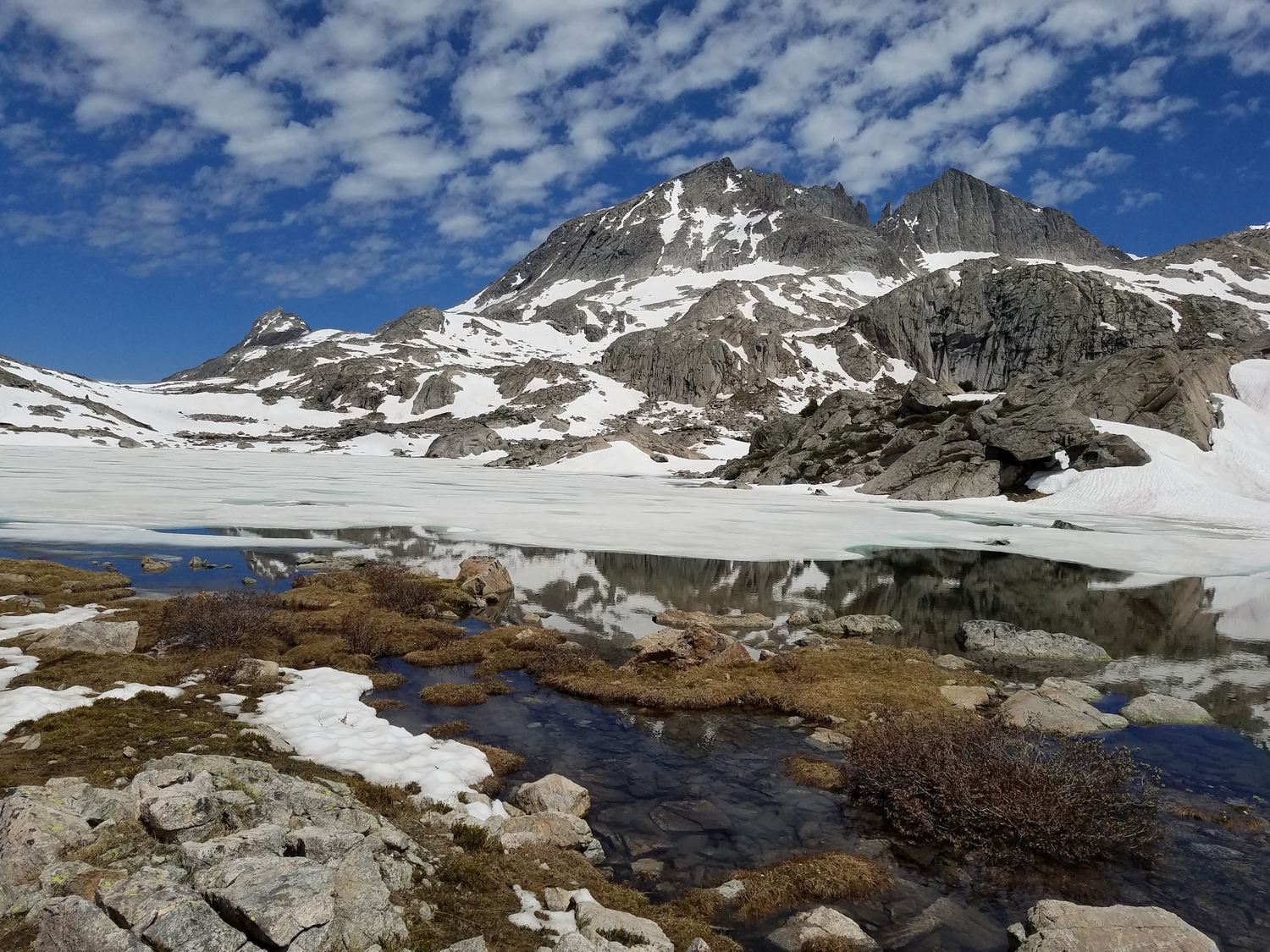
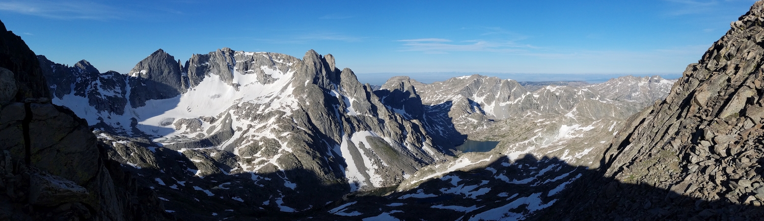
Perhaps the most notable thing about Bow Mountain is that its northern cirque harbors the Stroud Glacier, the official headwaters of the Green River. Thus, snow falling off the summit of this mellow 13er could be seen as the “top” of the Colorado River in some sense. Despite the complexity of the Bow Mountain massif, it does not seem to be particularly popular with climbers or mountaineers, likely due to its substantial isolation from the higher, more-famous peak groupings nearby.
General Considerations
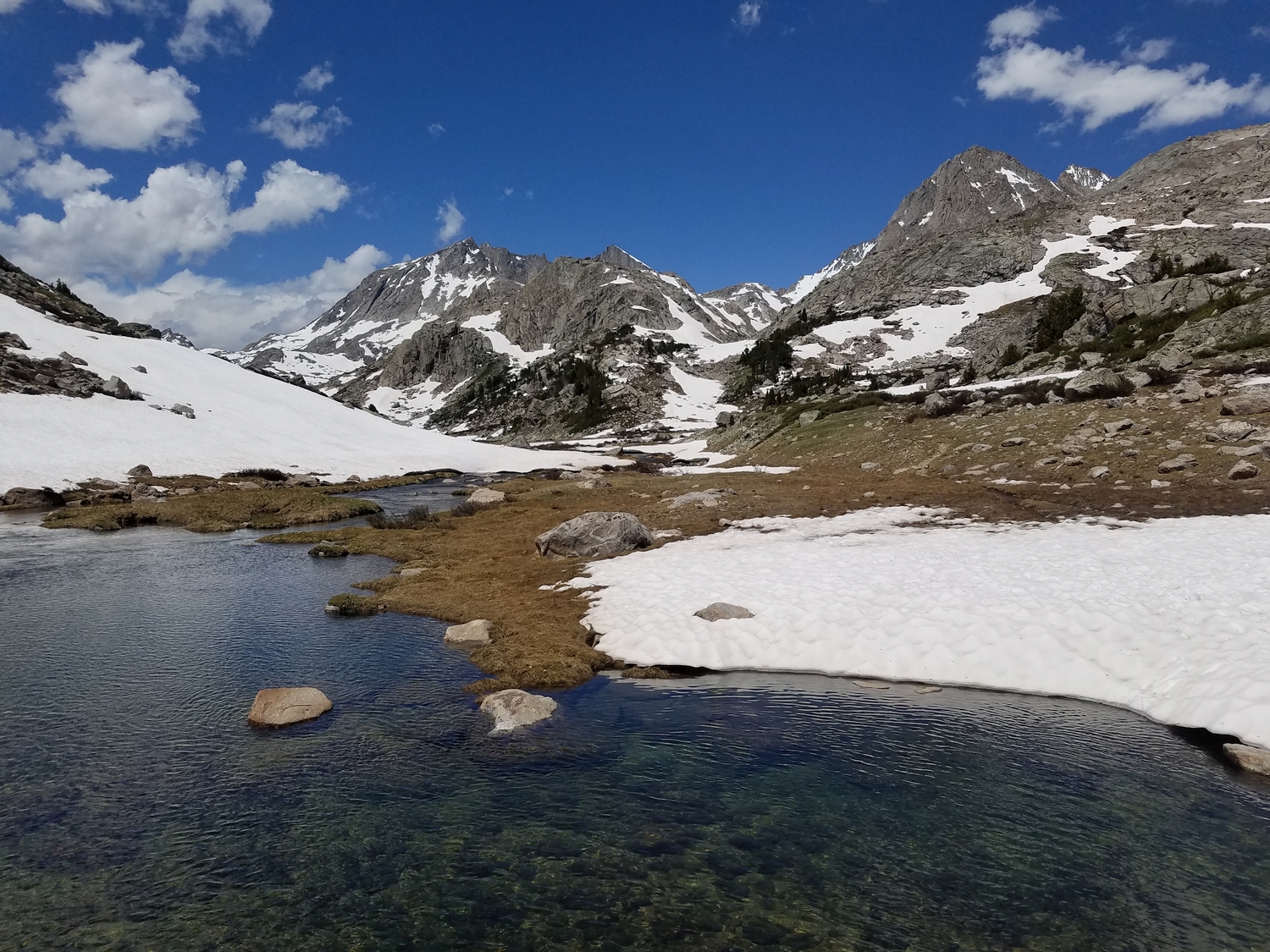
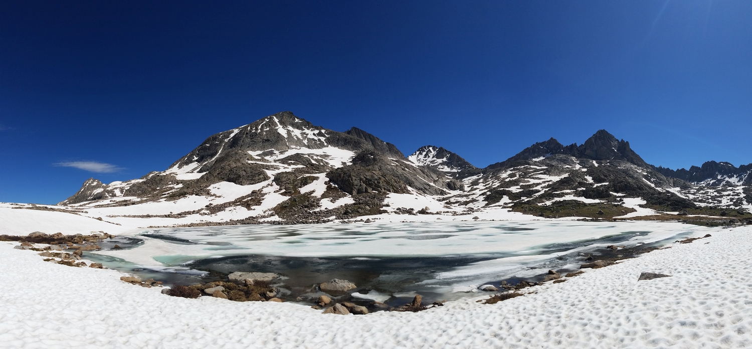
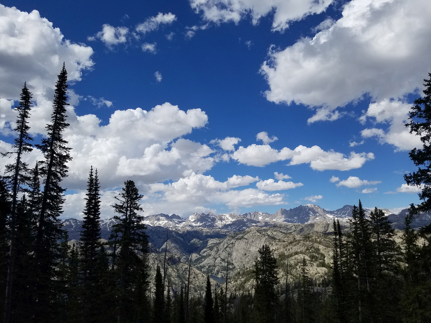
Bow Mountain is inconvenient to climb from most major camping destinations in the northern Wind River region, which makes it difficult to arrange an aesthetic itinerary combining Bow with other 13ers. However, the Jean Lakes area is nonetheless spectacular, and you are all but guaranteed solitude on this peak. Assuming the requisite gear and experience, a climb of Bow could also be a worthwhile diversion for backpackers on the Highline Trail or Shannon Pass Trail, which meet near the base of the southwest couloir.
Route 1: West Slopes – Class 3
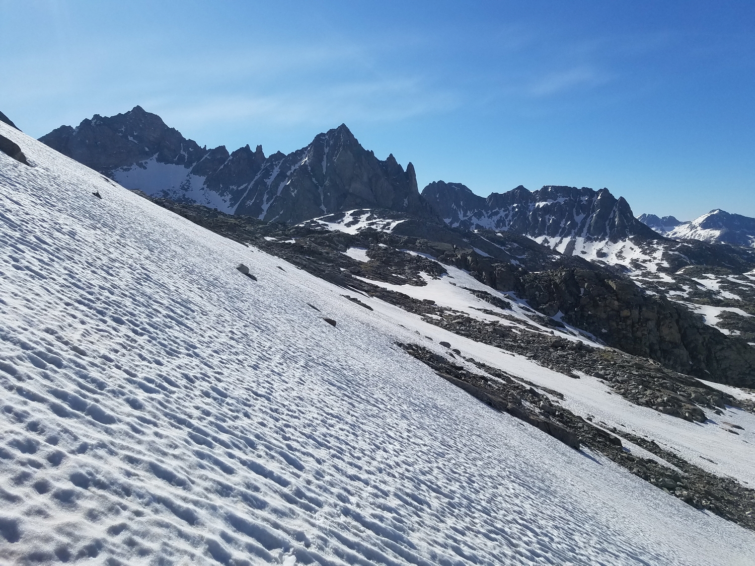
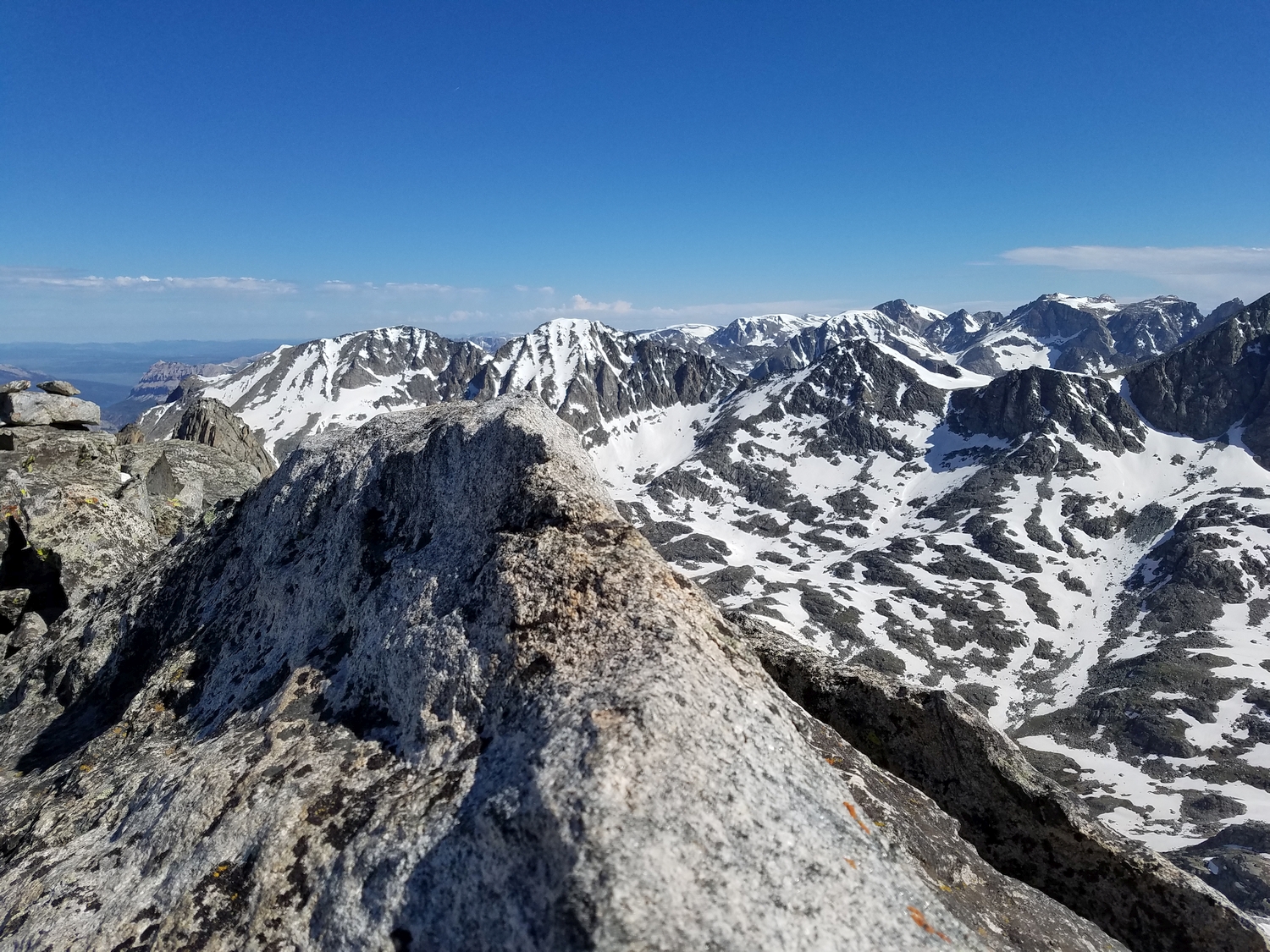
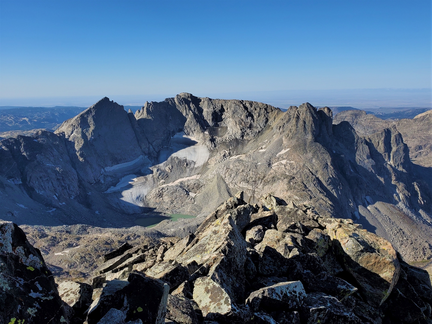
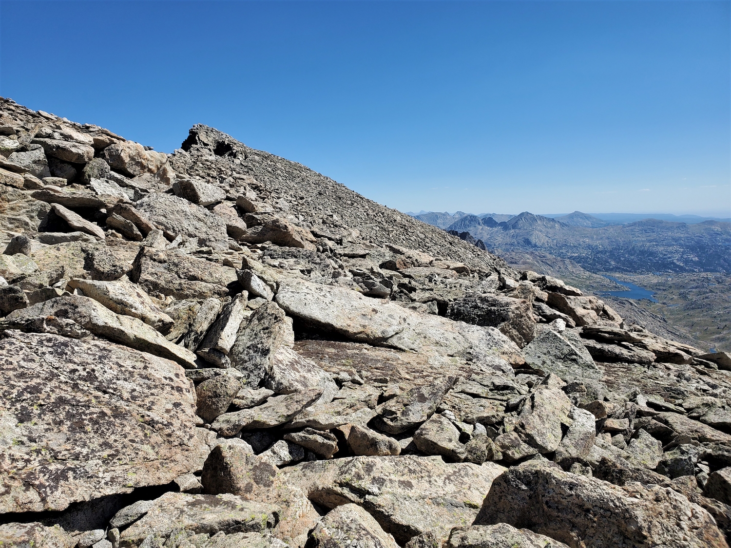
This is likely the easiest route to the summit of Bow, but it is inconvenient to combine with most other peaks. Bow Mountain consists of a flat-topped ridge surrounded by steep cliffs on most sides. The west side is Bow’s least steep aspect, and once the upper plateau is gained, the summit is readily available.
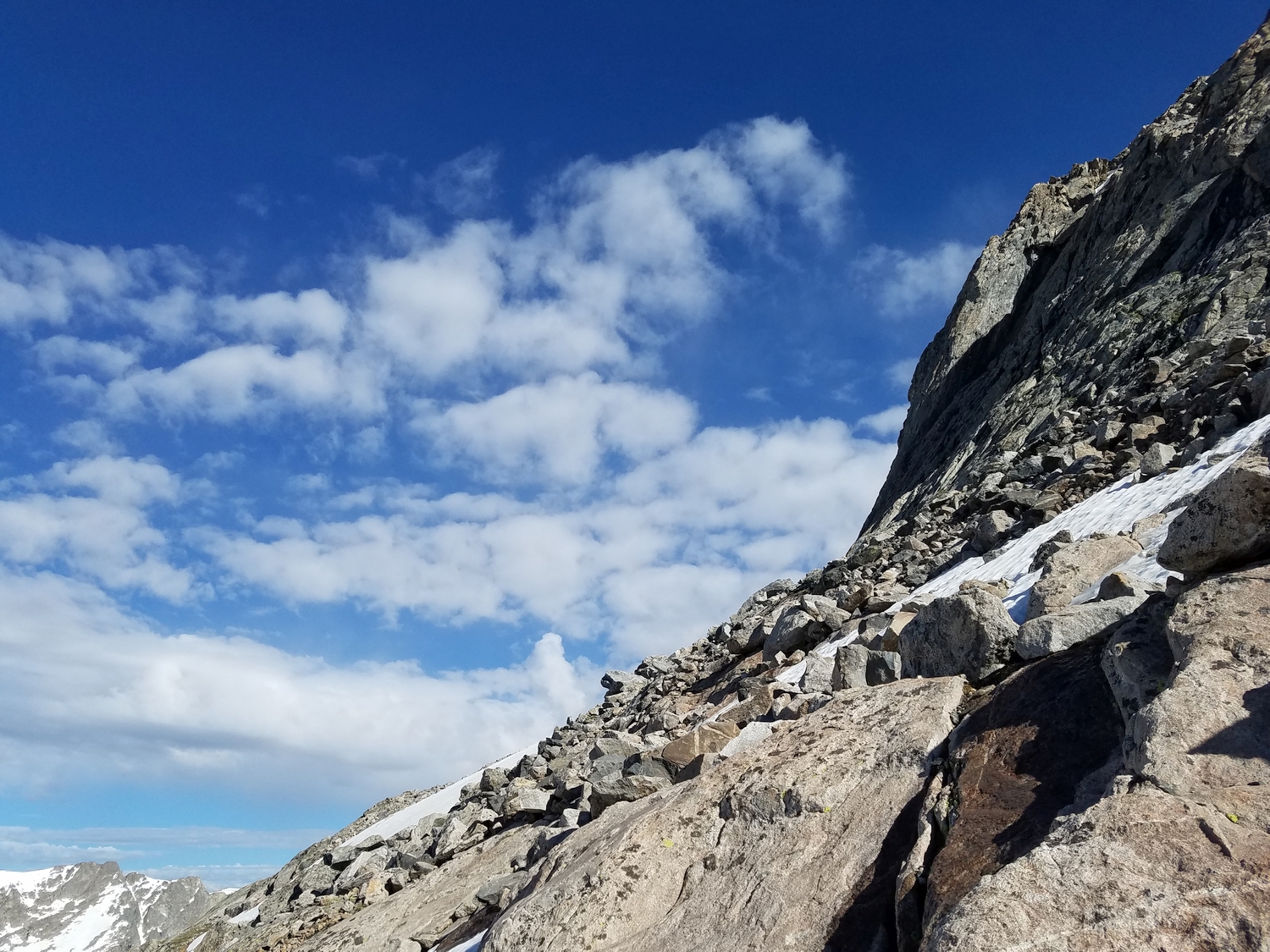
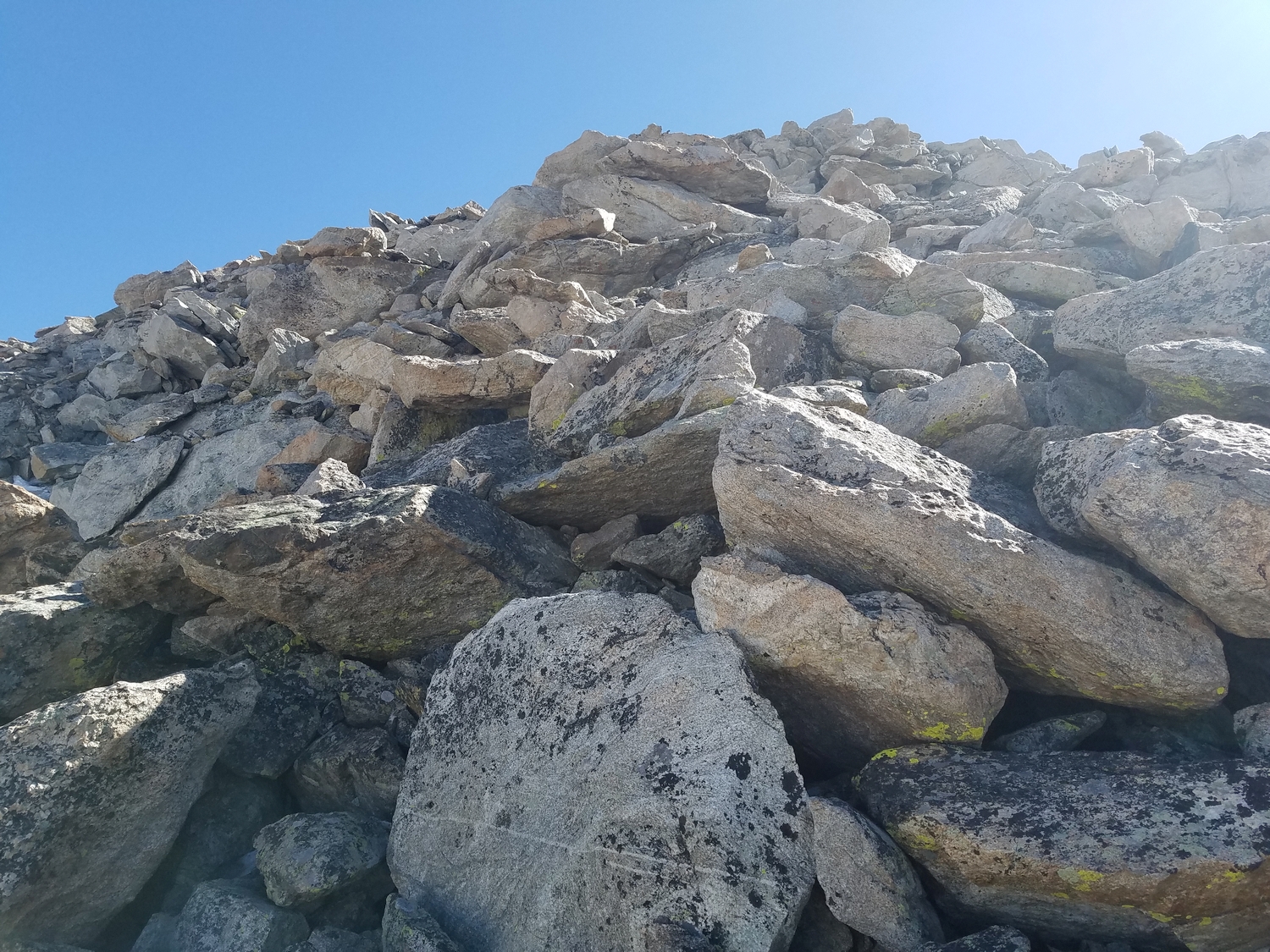
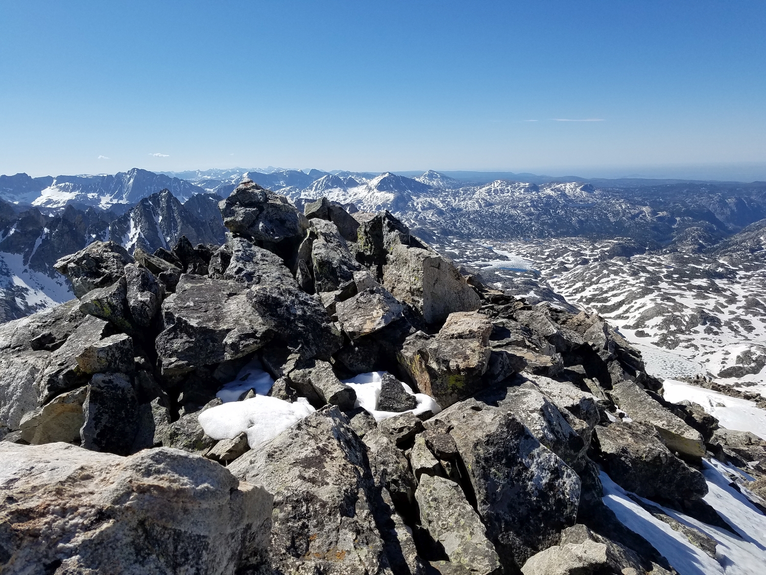
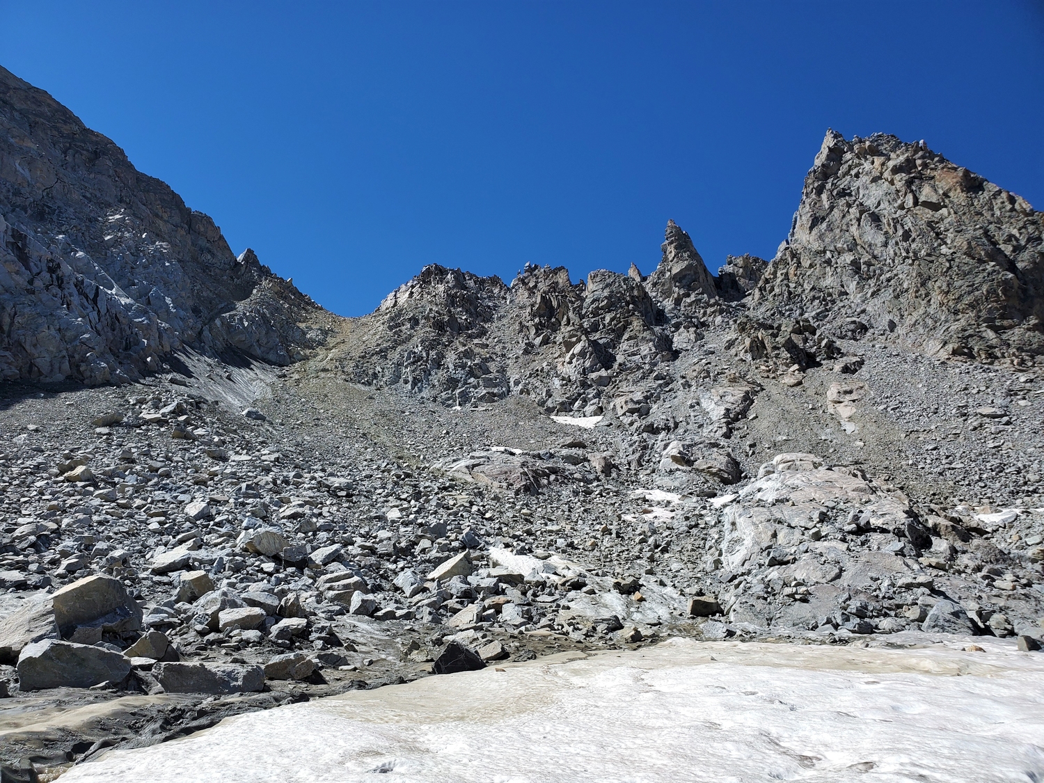
From the Shannon Pass Trail just south of Shannon Pass, hike cross-country up the slopes between Bow and Stroud. Climb northwest up talus and scree towards the Bow-Brimstone col. A few short cliff bands block easy passage on Bow’s lower west ridge, but the blocky terrain on the south side of the ridge is class 3. Link short scrambling sections with talus gullies to reach the upper west ridge, then hike a quarter mile west along the gradually rising talus peneplain to reach the summit boulders, precipitously perched at the edge of the cliff above the Stroud Glacier.
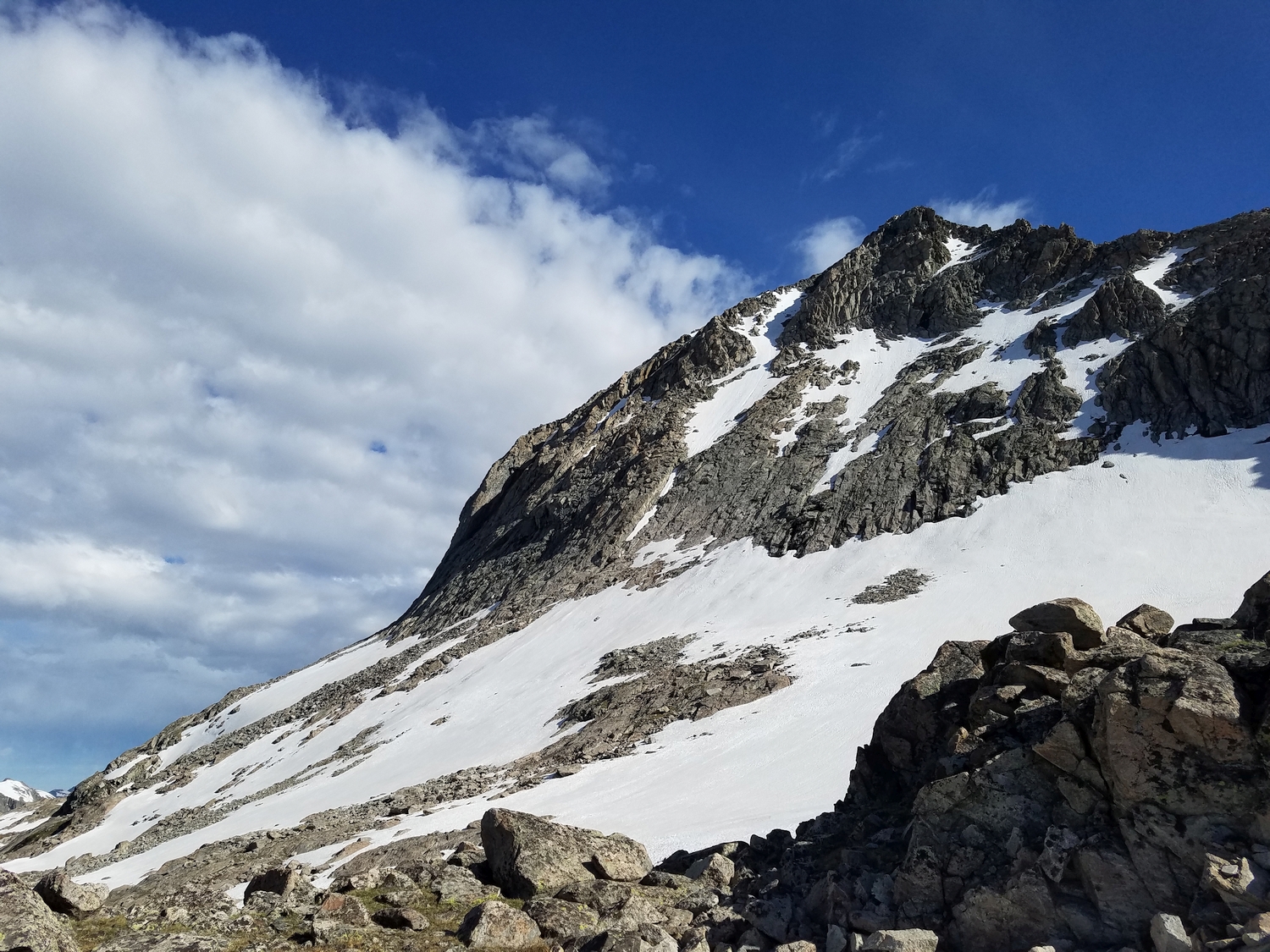
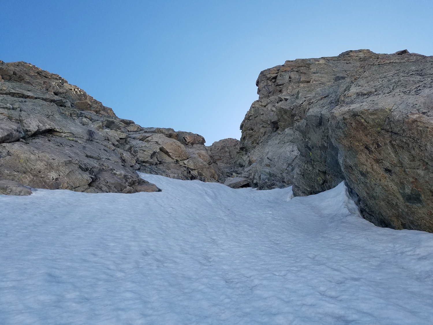
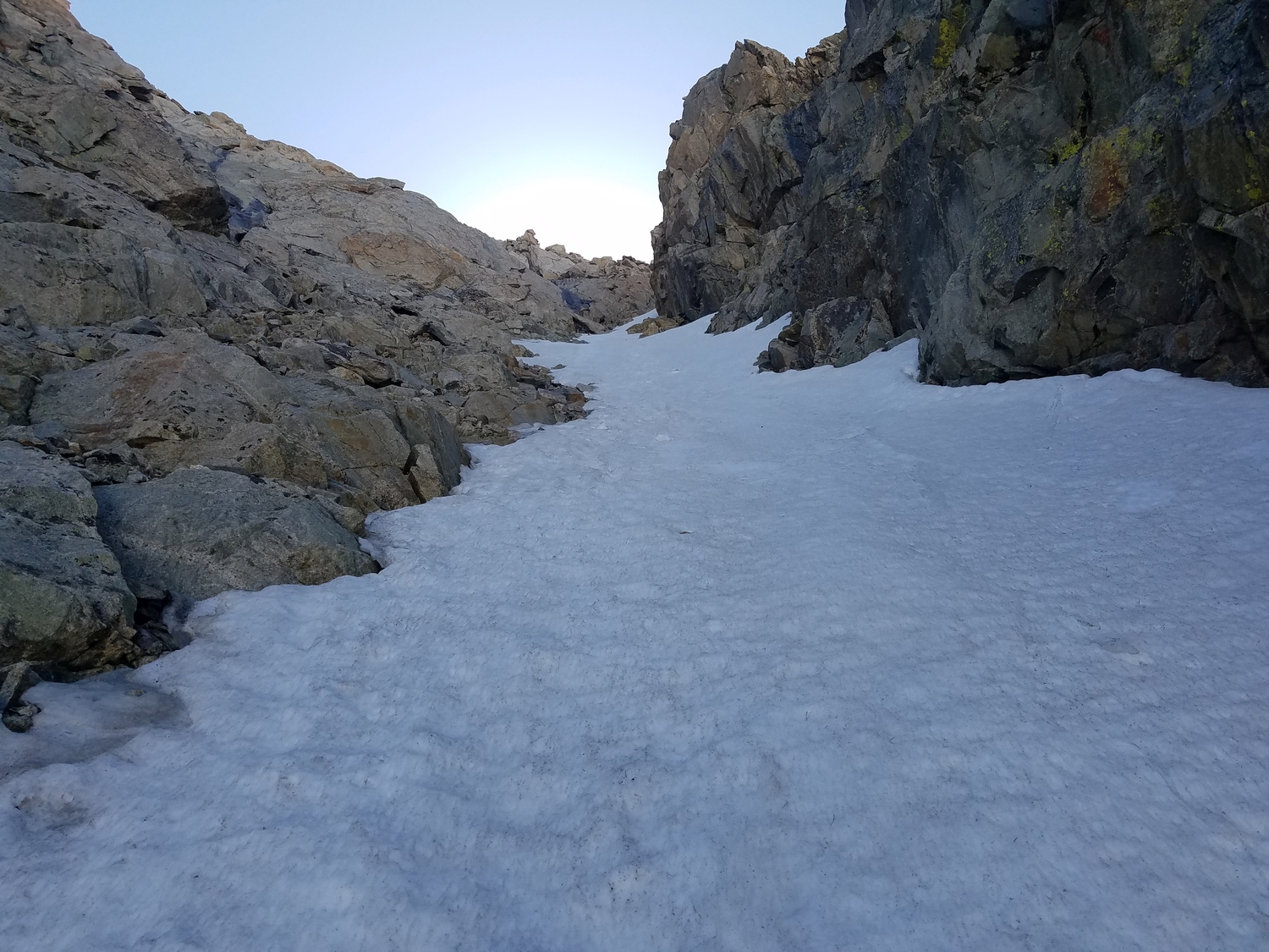
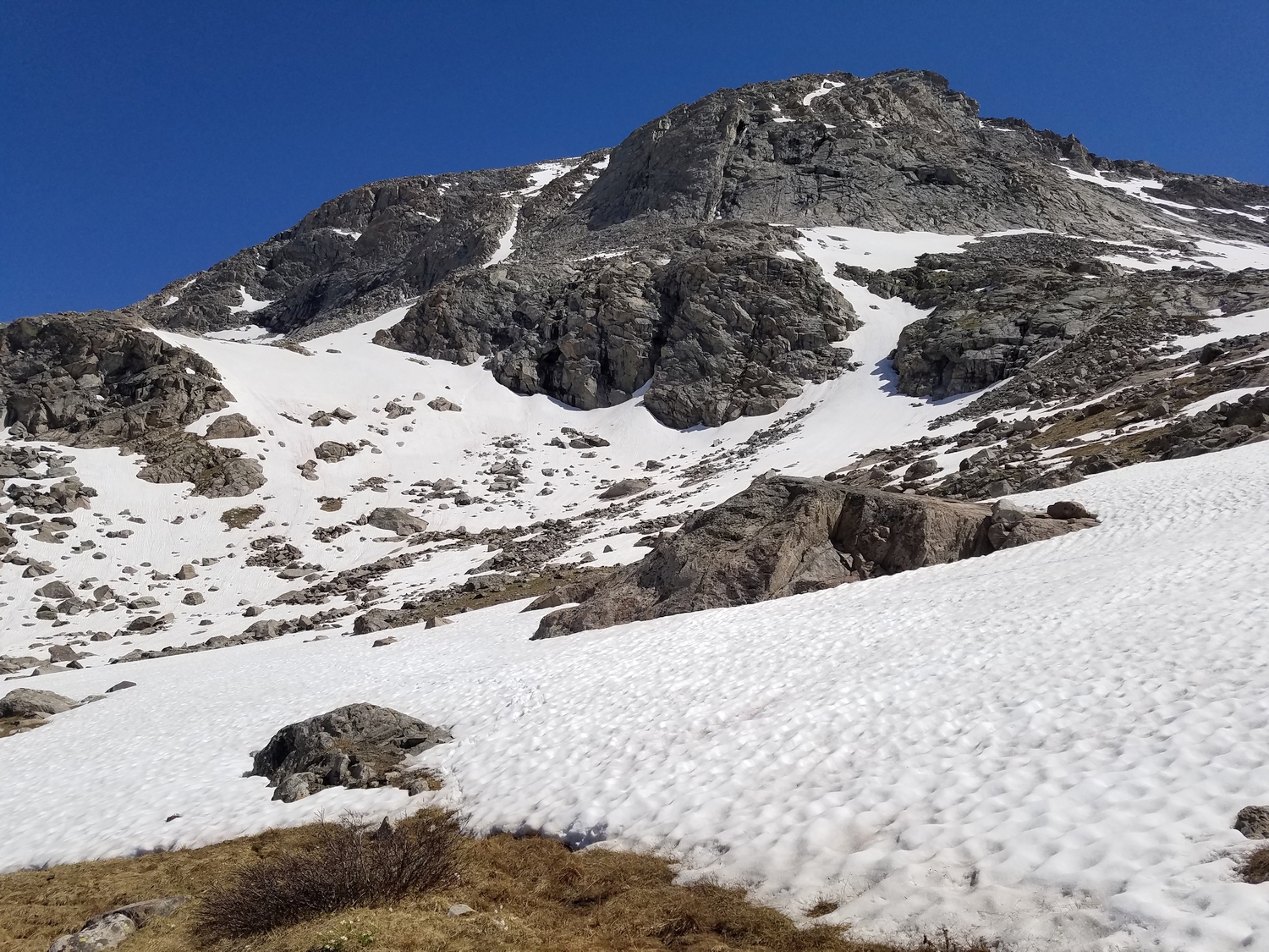
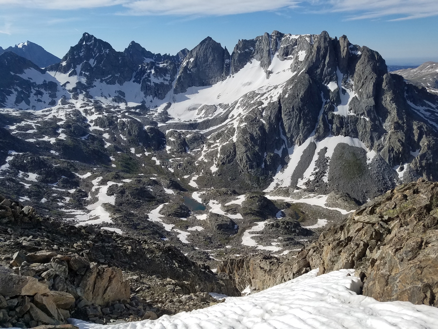
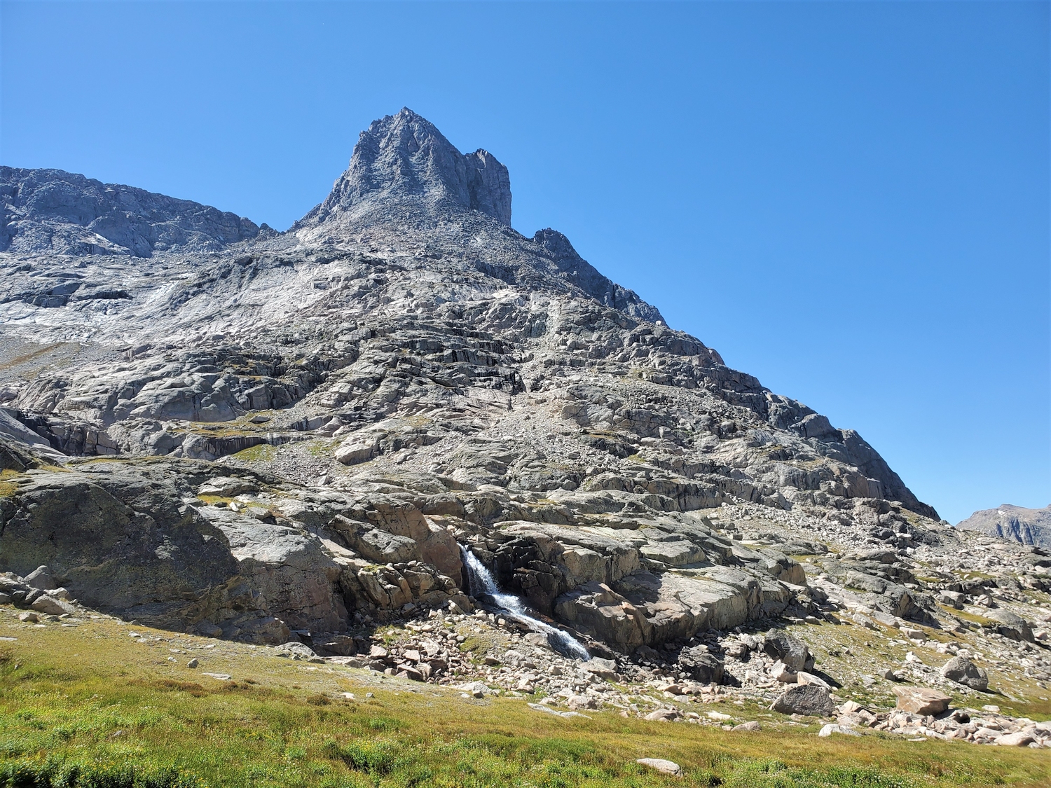
Route 2: Southwest Couloir – Class 3, Moderate Snow
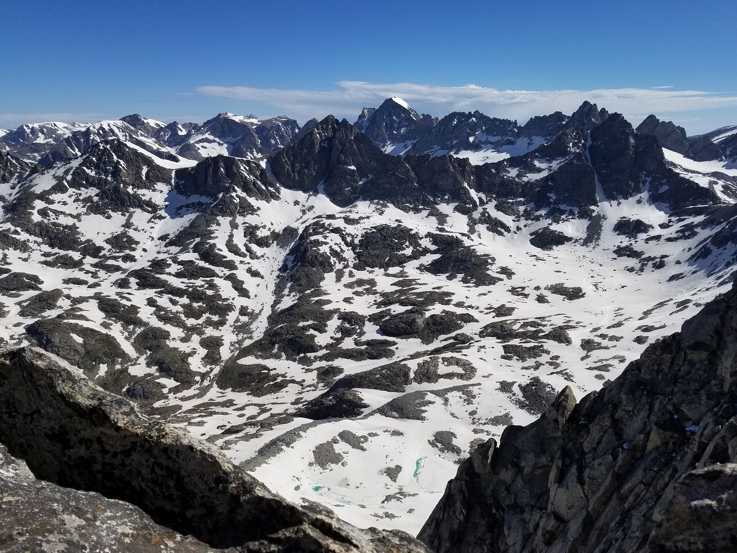
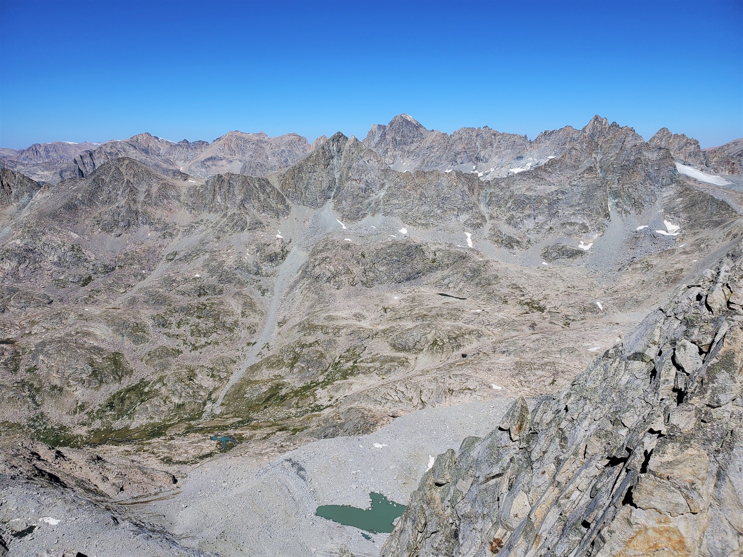
From the Highline Trail near its intersection with the Shannon Pass trail above Lake 10935, hike cross-country up a small, shallow valley towards the imposing bulk of Bow’s south face. The southwest couloir is hidden behind a fold of rock, and it is hard to identify the base from afar. Skirt the base of Bow Mountain’s cliff band until you identify the obvious breach where the couloir begins (the northeast-angling gully can be seen on USGS topo maps, and a GPS with onboard maps may be useful for finding the start of the route).
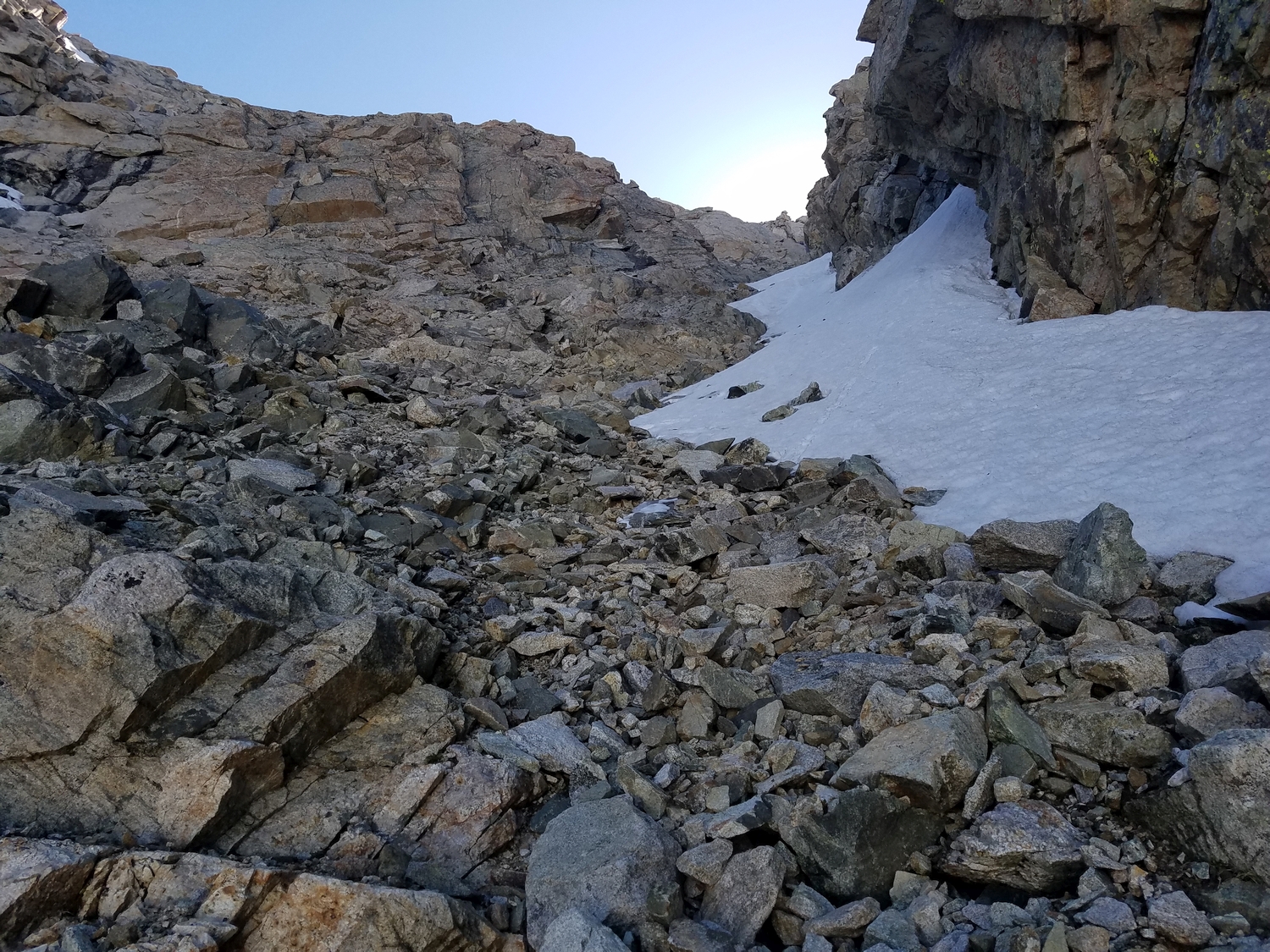
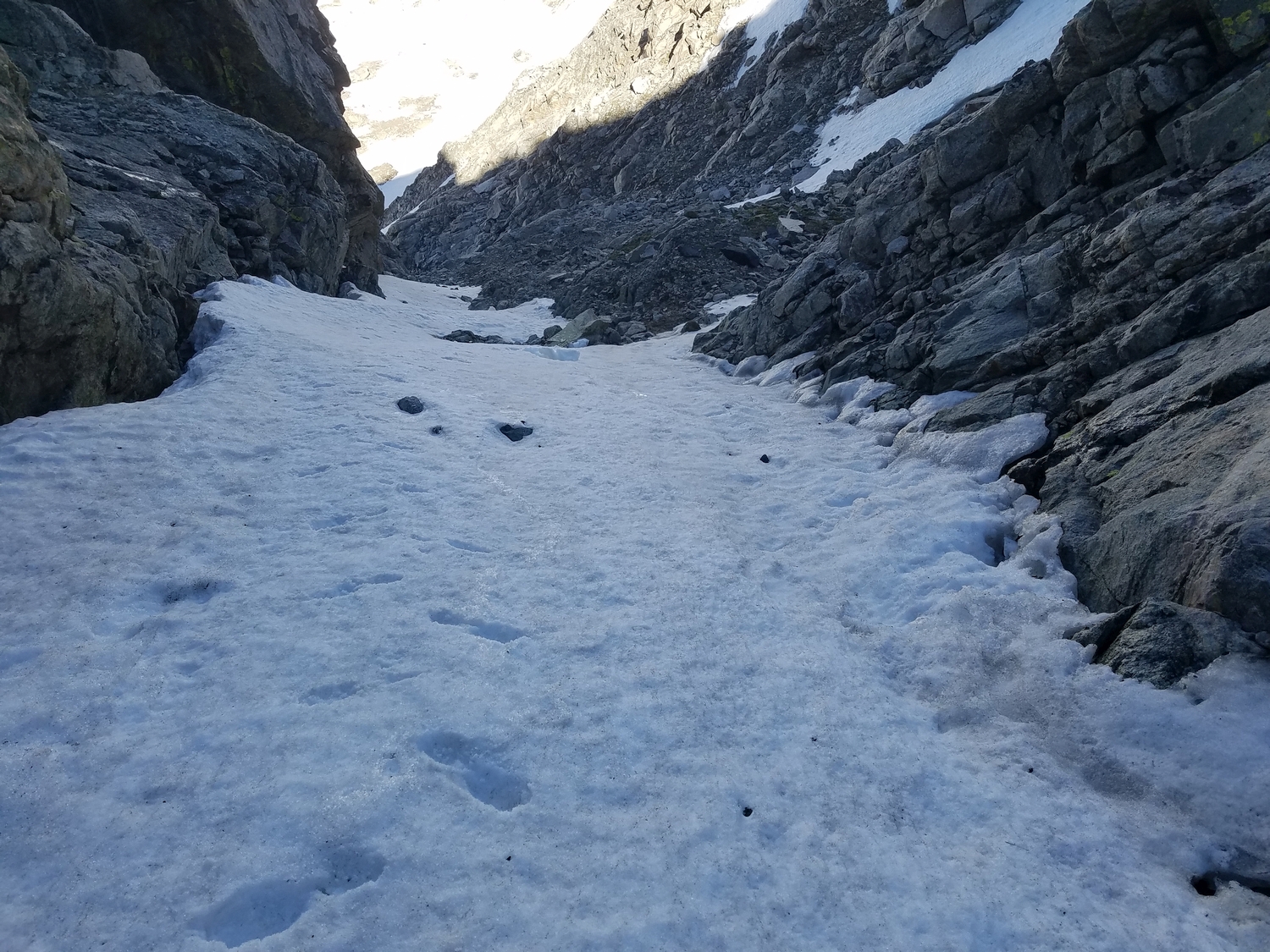
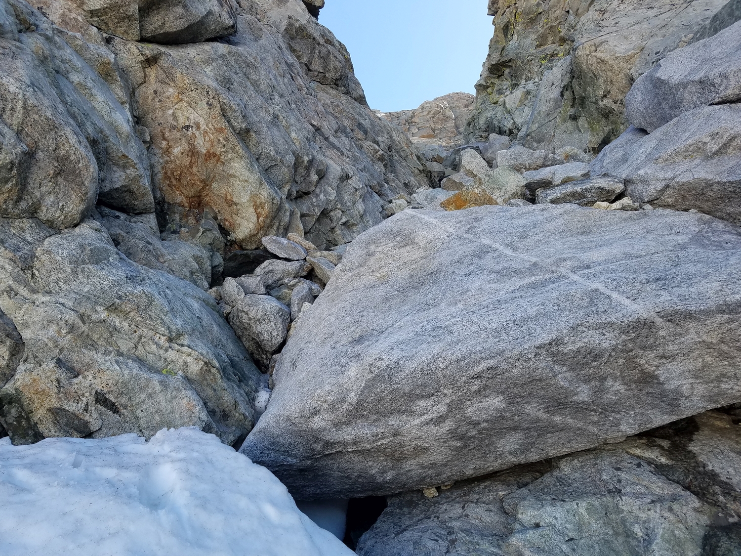
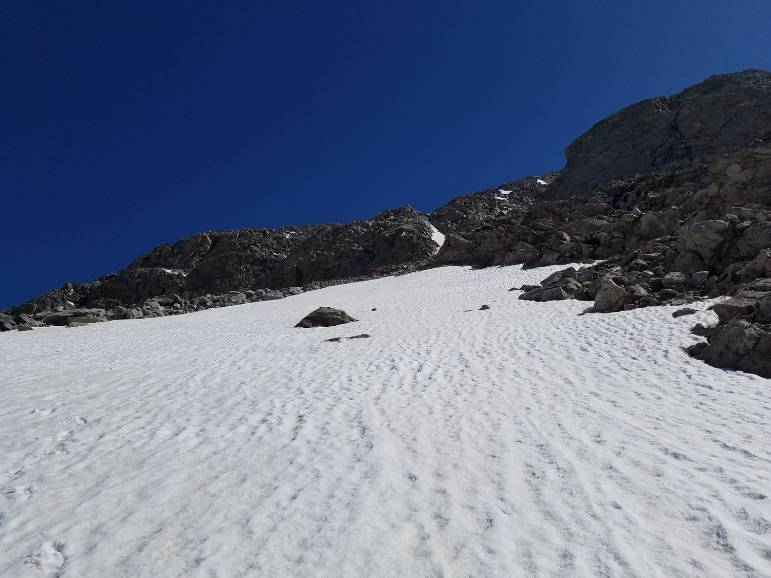
The climb is rather enjoyable in the early season, when consolidated snow fills in the couloir, but much of the snow melts out early, and by midsummer the route involves lots of loose scree with some larger chockstones. Getting around the largest chockstone requires a few class 4+ boulder moves when the snow is completely melted.
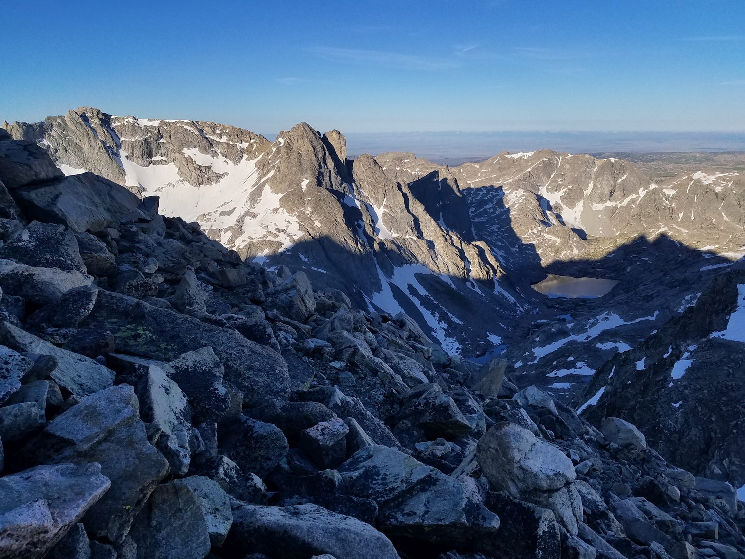
The southwest couloir is easy to follow and consistently angles climber’s right until it abruptly tops out, where you emerge onto the broad summit talus field. Make a note of the location of the couloir’s top so you can identify it on the descent, and hike up a few hundred feet over frost-shattered blocks to the summit.
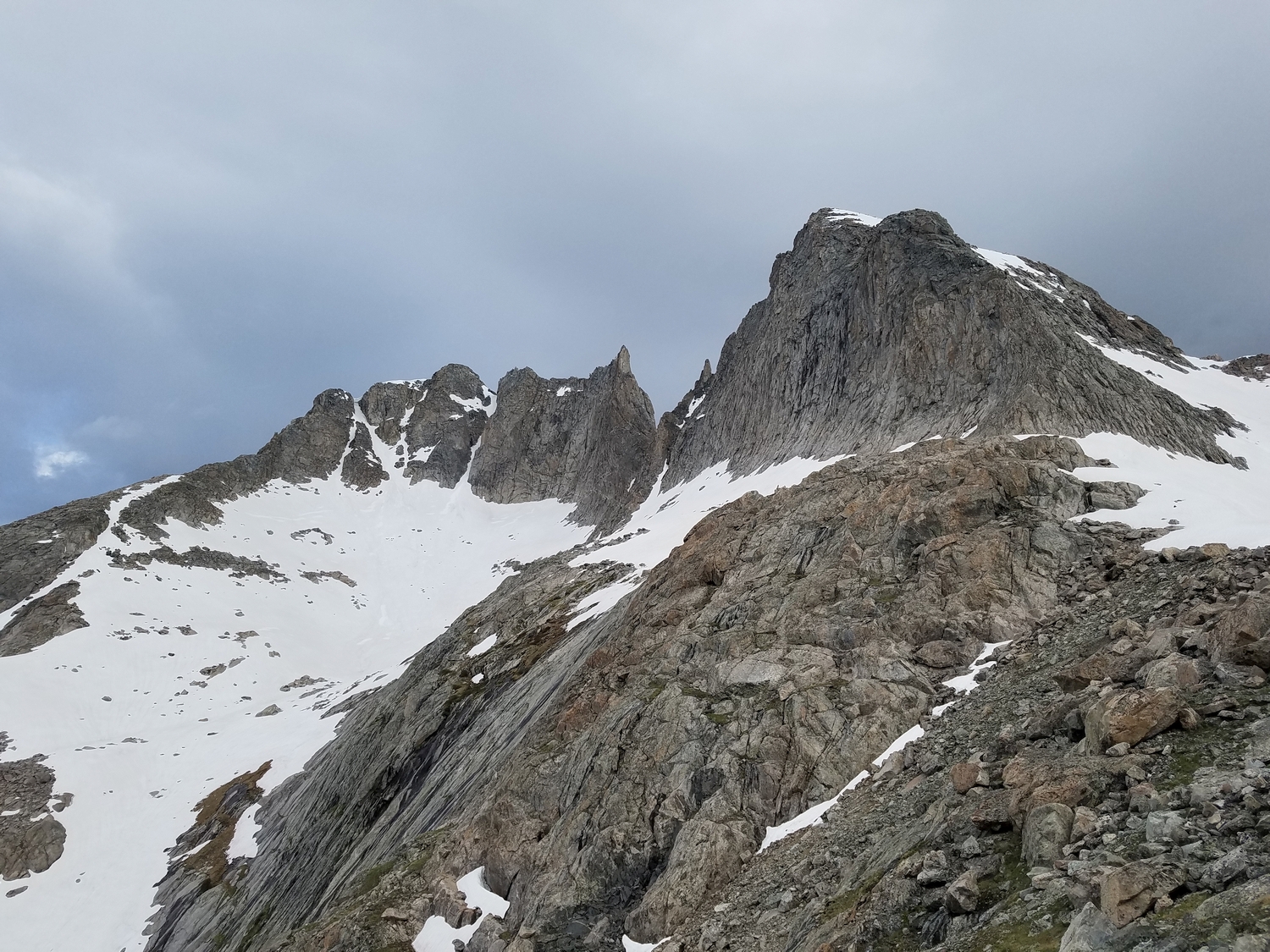
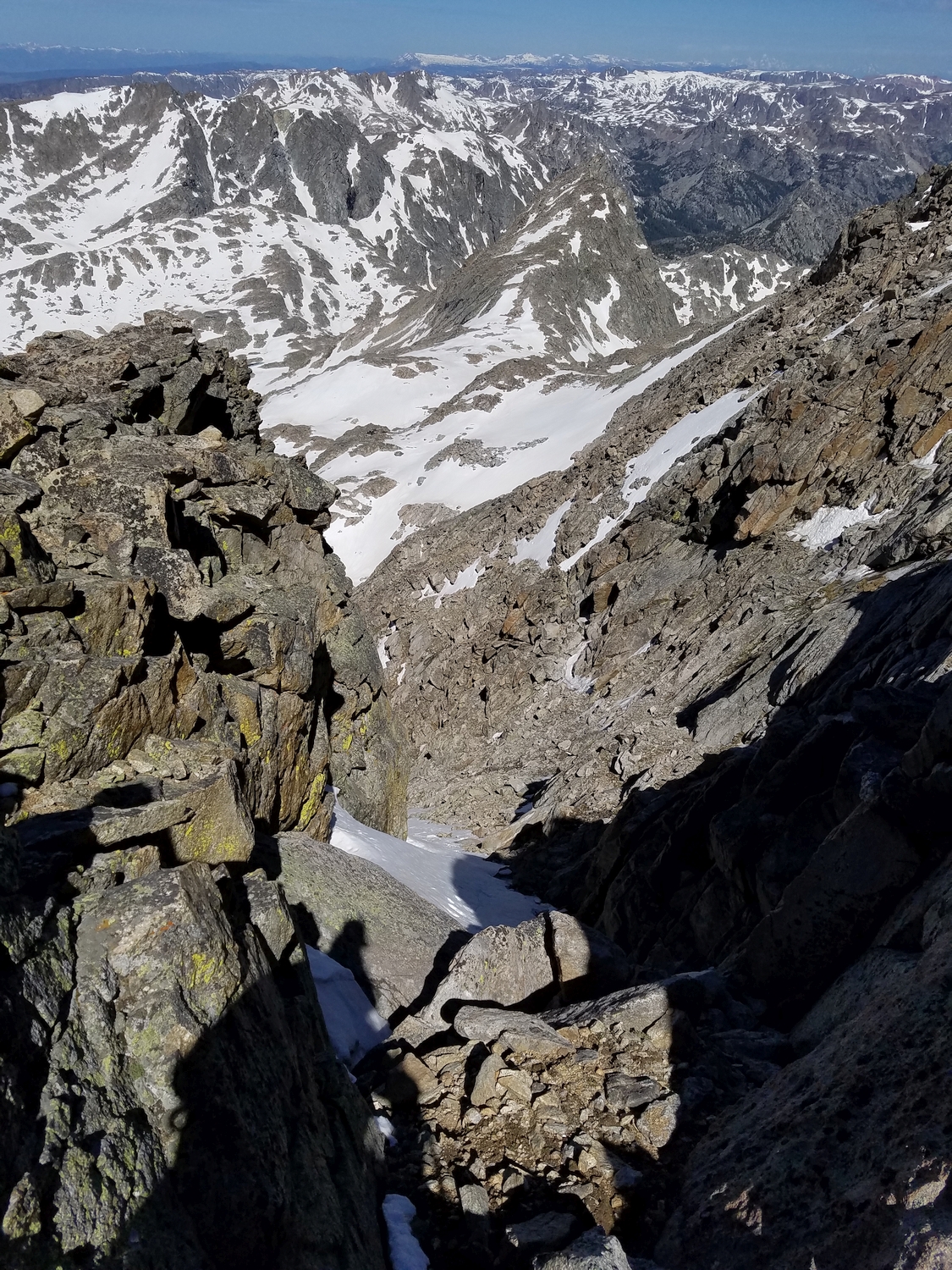
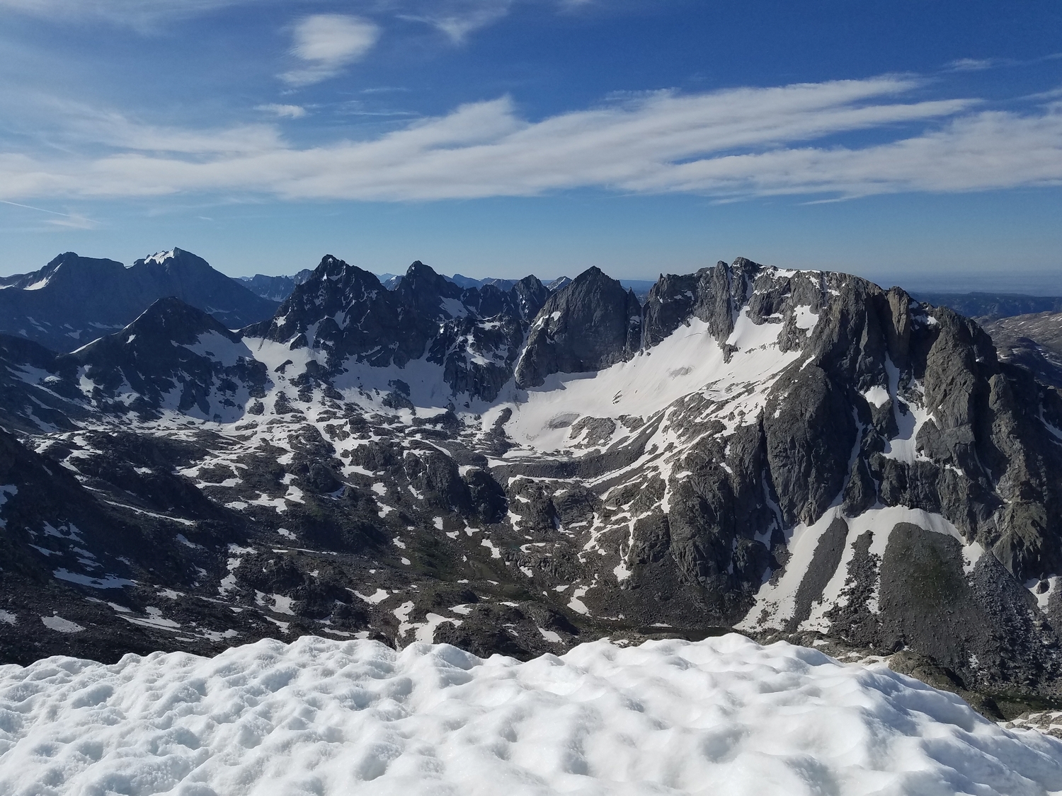
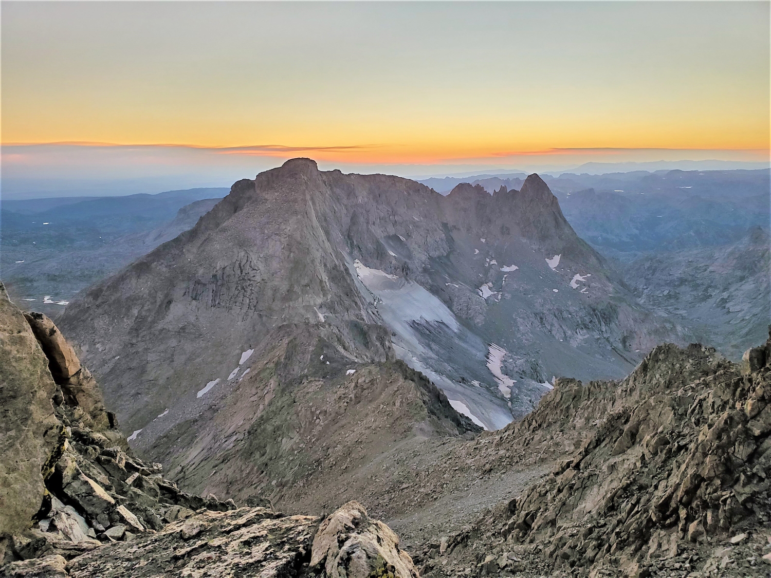
Route 3: North Side – Class 3+, Moderate Snow
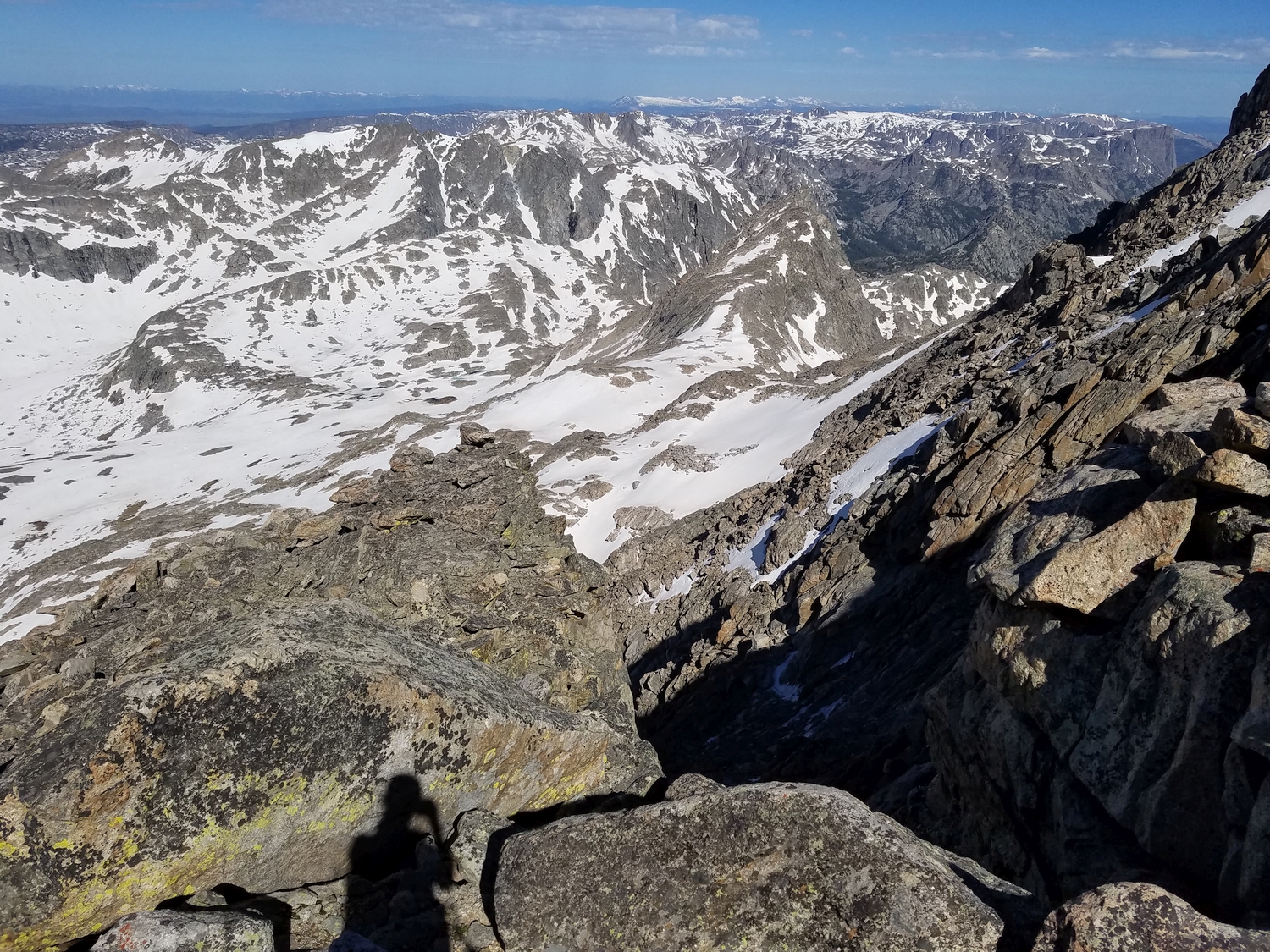
This route’s superb position almost makes up for its lackluster climbing. Nevertheless, it is the only non-technical way to summit Bow from the north, thus making this peak accessible from the upper Peak Lake valley.
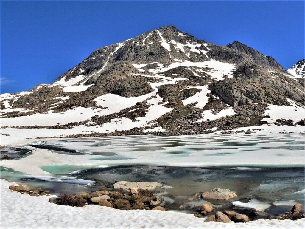
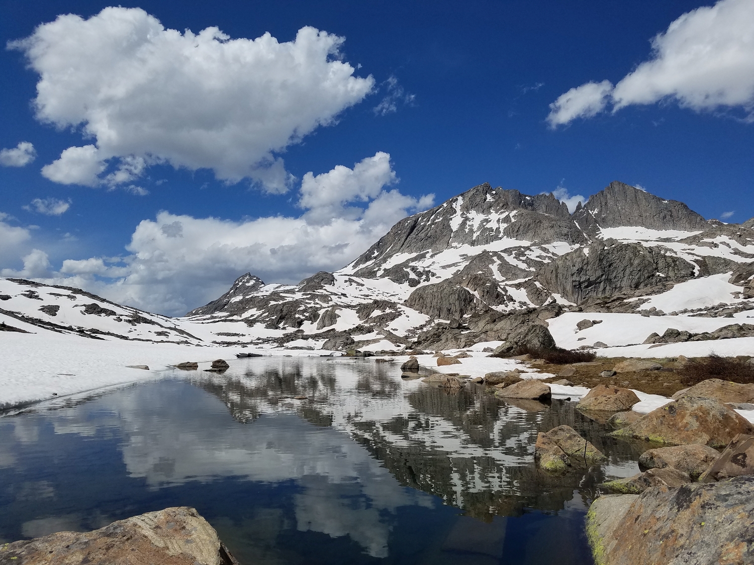
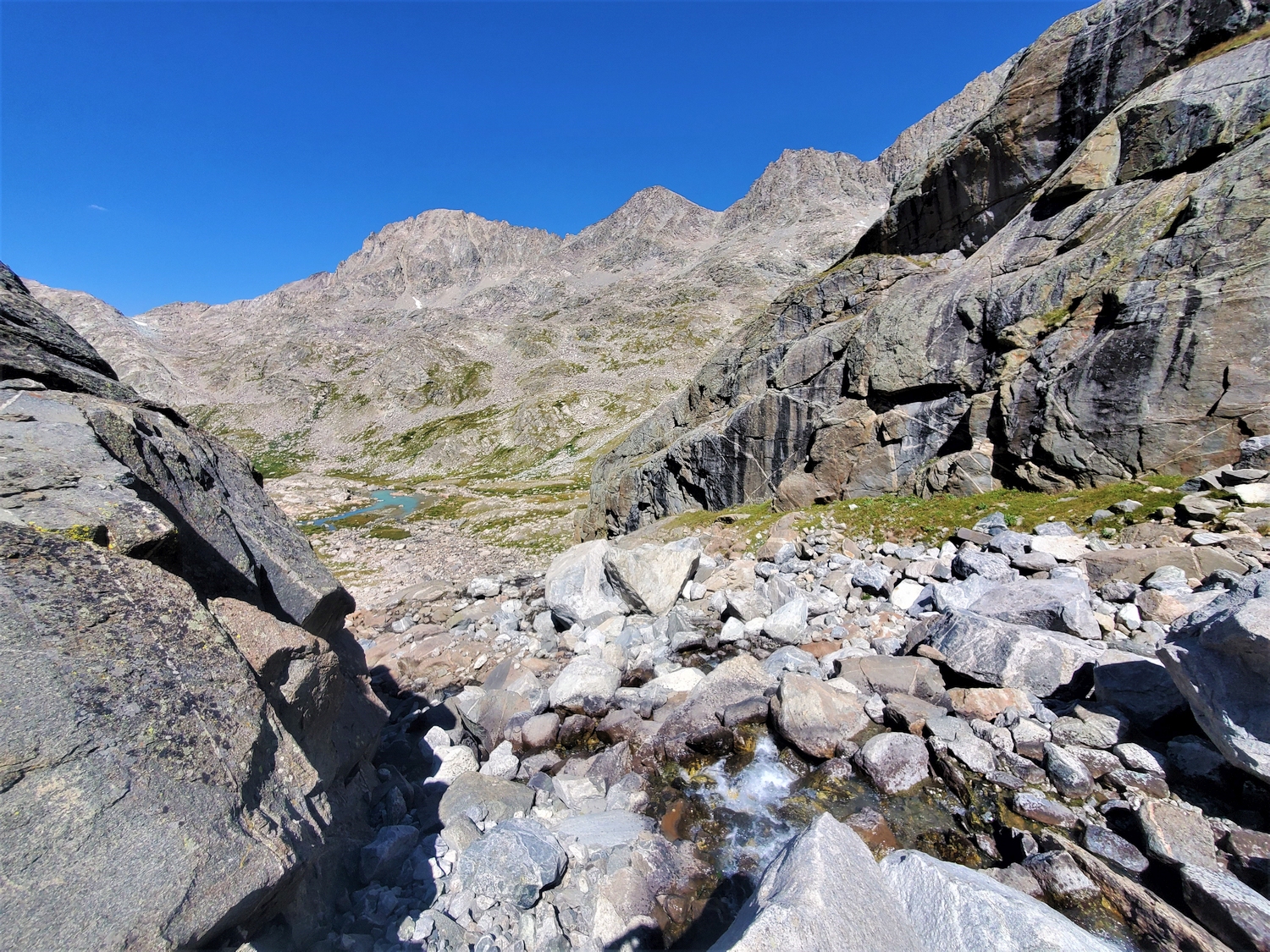
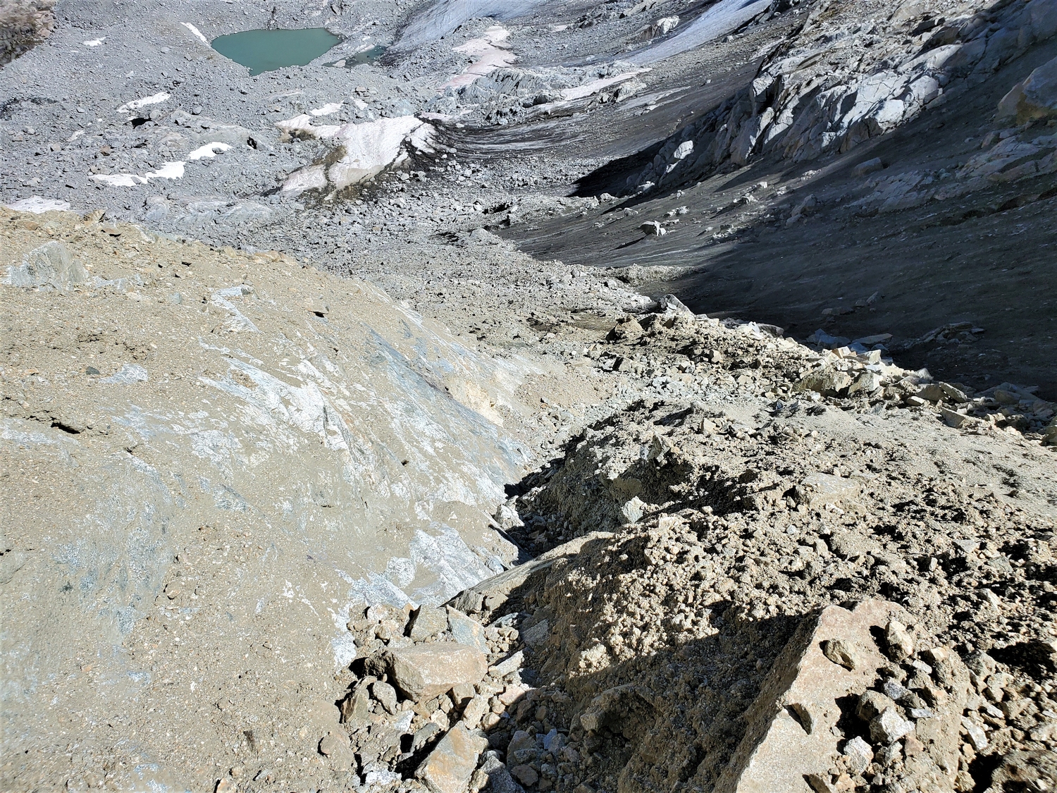
From Peak Lake, a trail continues up the valley past Lake 10740, eventually fading out as it merges with the popular cross-country route over Knapsack Col. Start this route from the idyllic meadow above Lake 10740. Follow the creek that originates from the Stroud Glacier towards a large cleft in the cliffs on the south side of the valley, passing a small tarn, and enter the cleft (possibly difficult at high water).
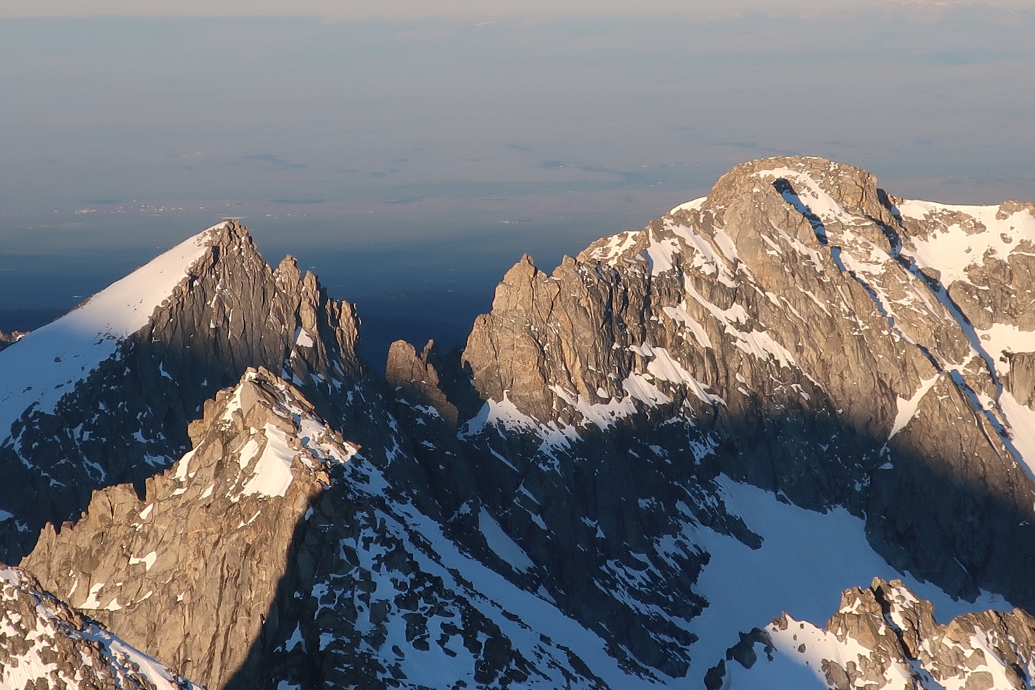
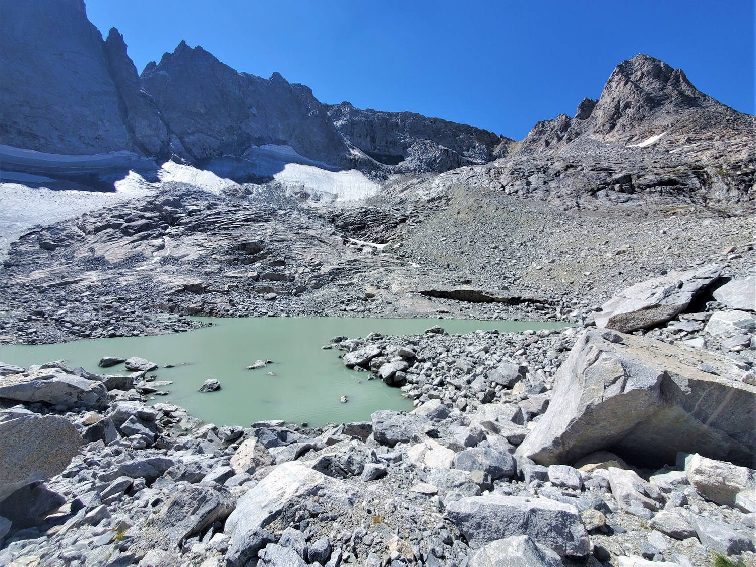
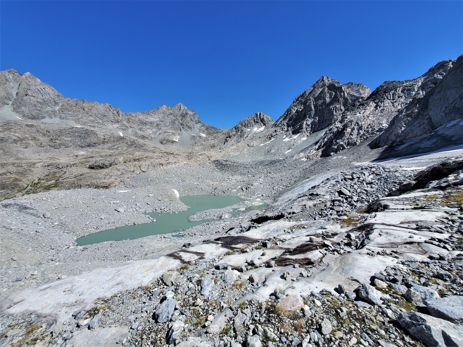
Climb up large talus around and over the creek to reach the edge of the Stroud Glacier moraine, then hike past a milky glacial lake to the west edge of the moraine below Bow’s intimidating northern subpeaks, Sulphur and Brimstone. Continue westward, weaving through small cliff bands on narrow talus slopes below Bow’s precipitous north face. Aim for the obvious saddle between Brimstone and Bow, which is the only place where the Stroud Glacier cirque does not terminate in vertical cliffs. Climb snow (early season) or loose sand and dirty rock (late season) to reach the Brimstone-Bow col, then join Route 1 to reach the summit.