Introduction
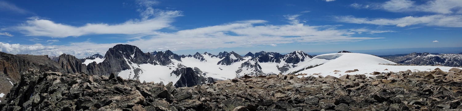
This enjoyable and wildly remote peak was named by the Koven brothers, who famously described their first ascent (at the onset of an afternoon thunderstorm) in these dramatic terms: “The scene was one of utter chaos and desolation. On every side lay a great sprawling mass of rocky peaks, cloaked with broad glaciers and snowfields, and rent by yawning chasms. The sight was so grand and awesome that Desolation Peak seemed a fitting name for the mountain.” Indeed, Desolation Peak is in one of the most desolate parts of the Wind River Range, which is really saying something considering the general desolation of the Winds writ-large.
General Considerations
Getting to the mountain’s base is the main challenge, as the actual climb is far shorter and somewhat less technical than any way of approaching it. There is little reason to make a dedicated trip to climb Desolation Peak, as it is surrounded by other equally worthy summits, so your choice of route will likely depend on your other objectives.
The most obvious and common itinerary involves approaching via Tourist Creek from Green River Lakes, camping in upper Tourist Creek or near Scott Lake, and climbing Desolation and nearby peaks as daytrips from camp. However, the peak has also been climbed as part of much longer 13er linkups and cross-range traverses, and there is no need to limit yourself to the possibilities described below.
Route 1: Northwest Ridge – Class 3
Approach A: Tourist Creek
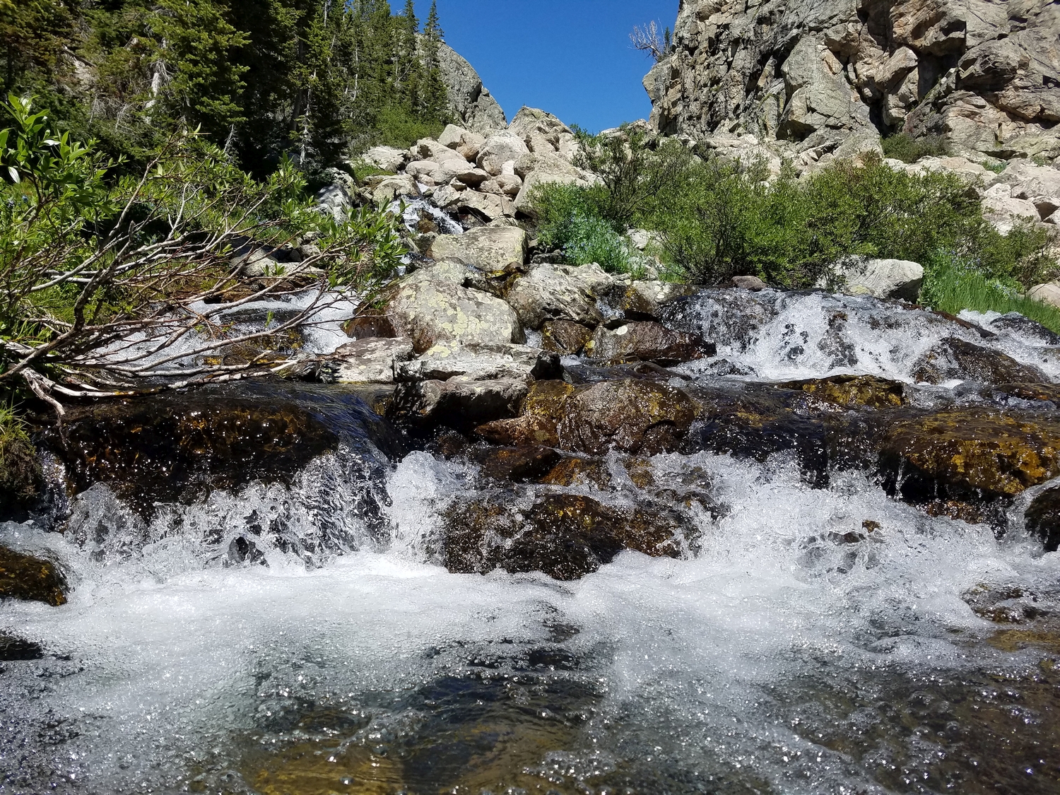
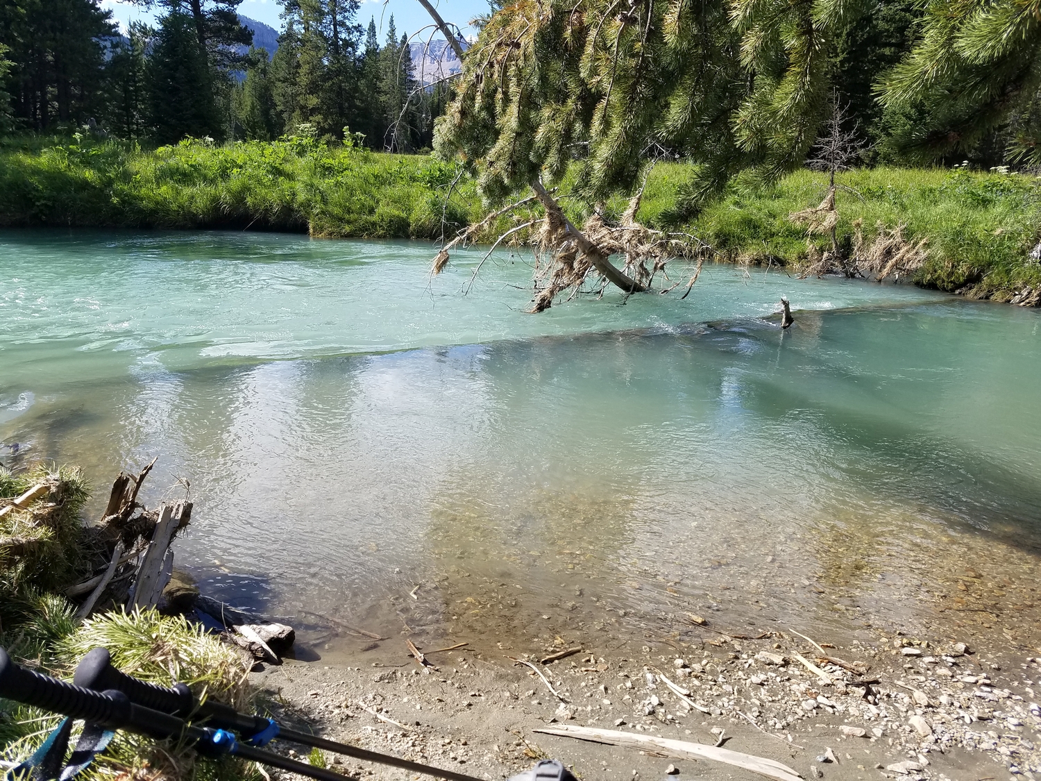
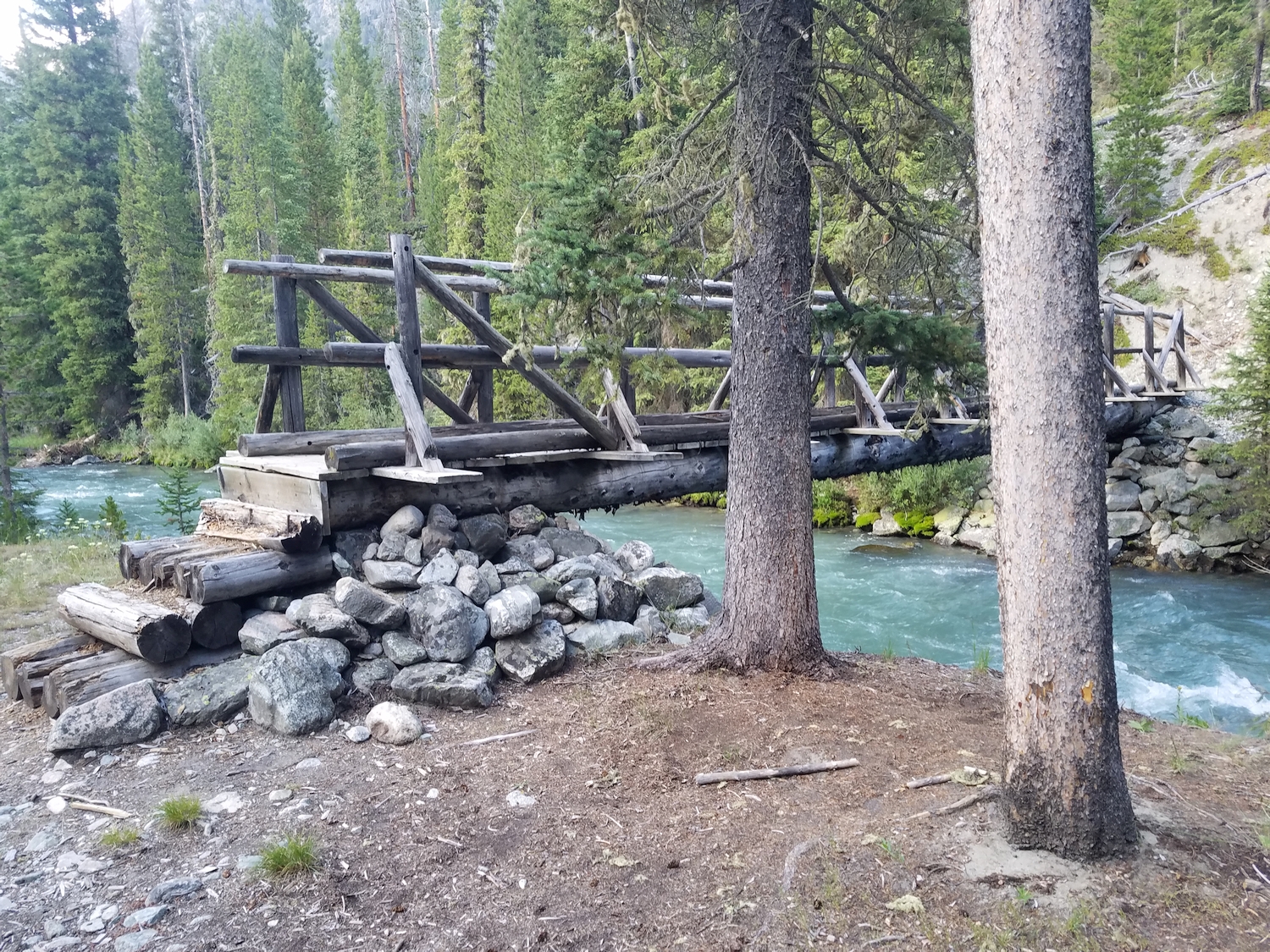
From the Green River Lakes Trailhead, follow the Highline Trail some 12 miles or more to Three Forks Park, where the route begins. If it’s possible to cross safely, wade the Green River to reach the eastern edge of Three Forks Park. Otherwise, you may choose to bushwhack the final few miles of the approach along the east bank of the River starting from the bridge just past Pixley Creek.
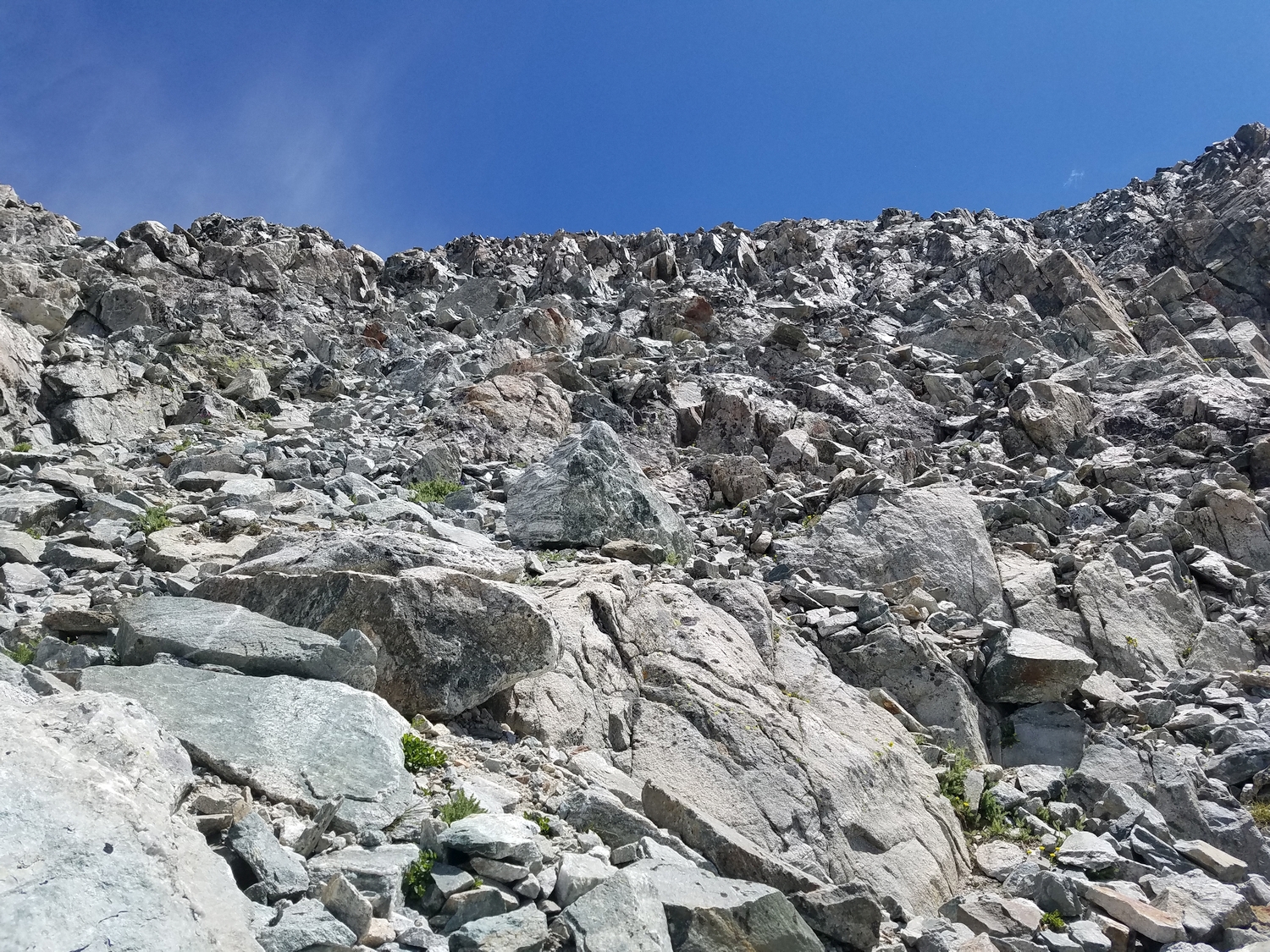
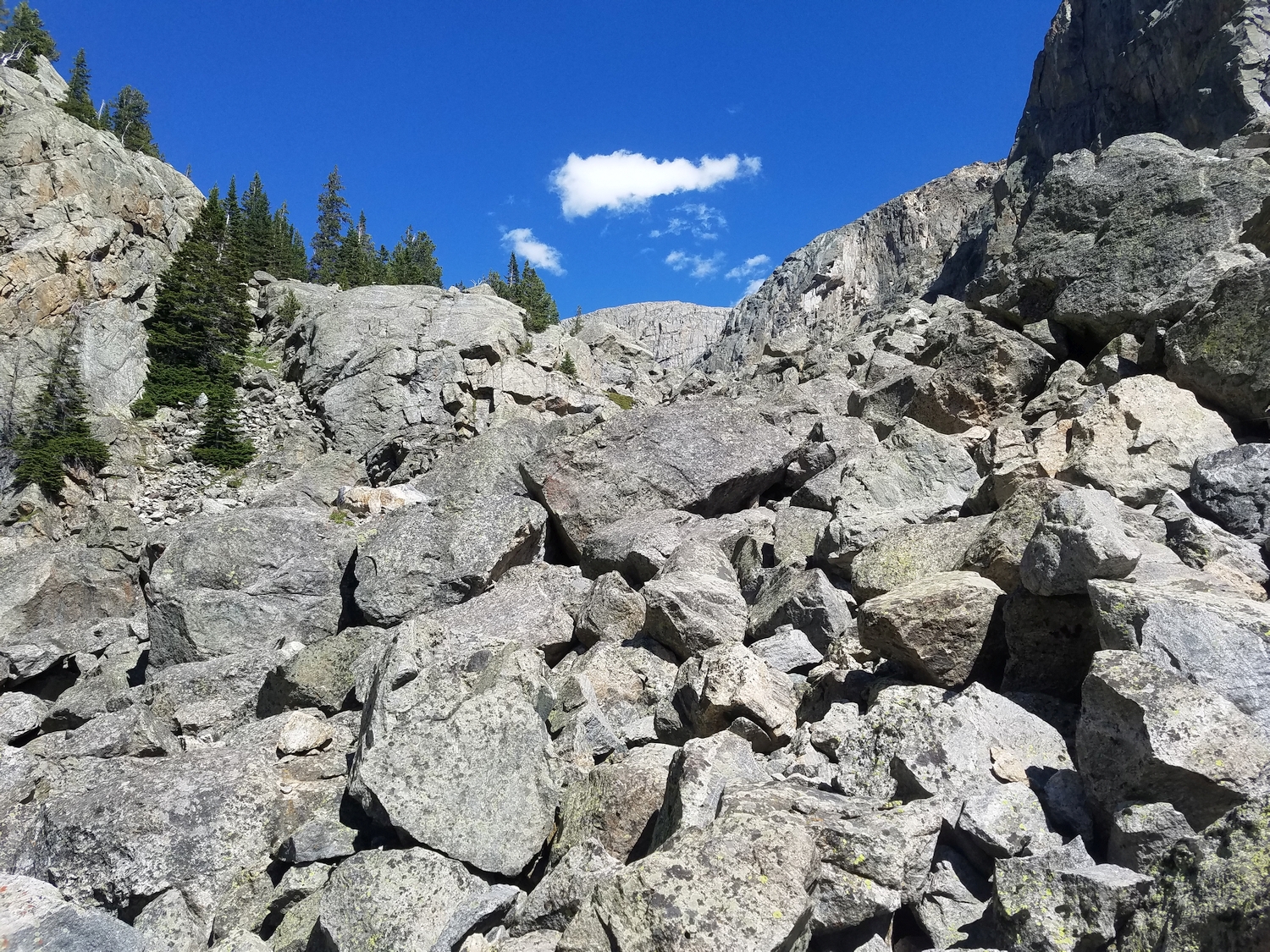
Either way, get to the base of the Tourist Creek Valley and start bushwhacking through mixed forest groves to reach the talus above. Hike up the steep, loose talus fan on the south side of Tourist Creek to rapidly gain a couple thousand feet of elevation.
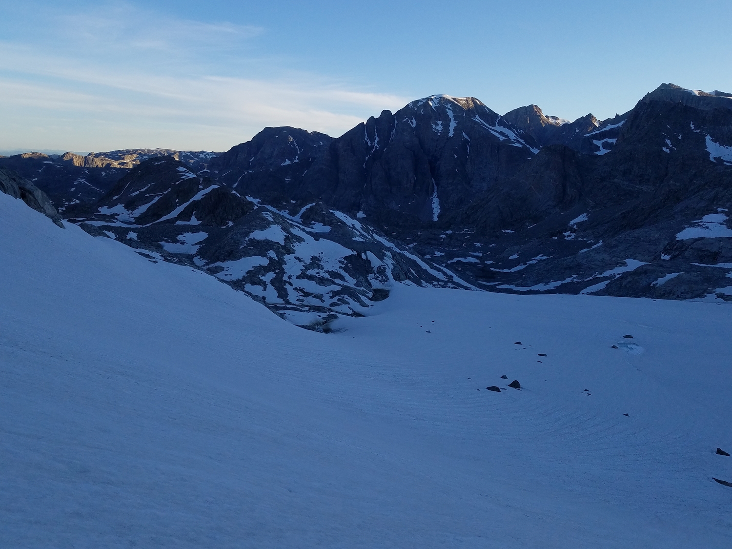
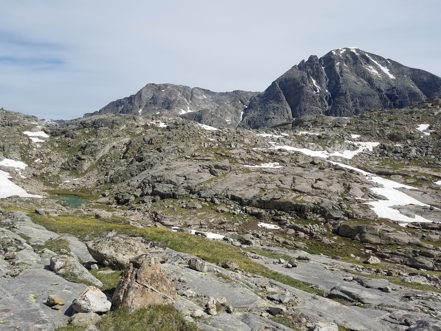
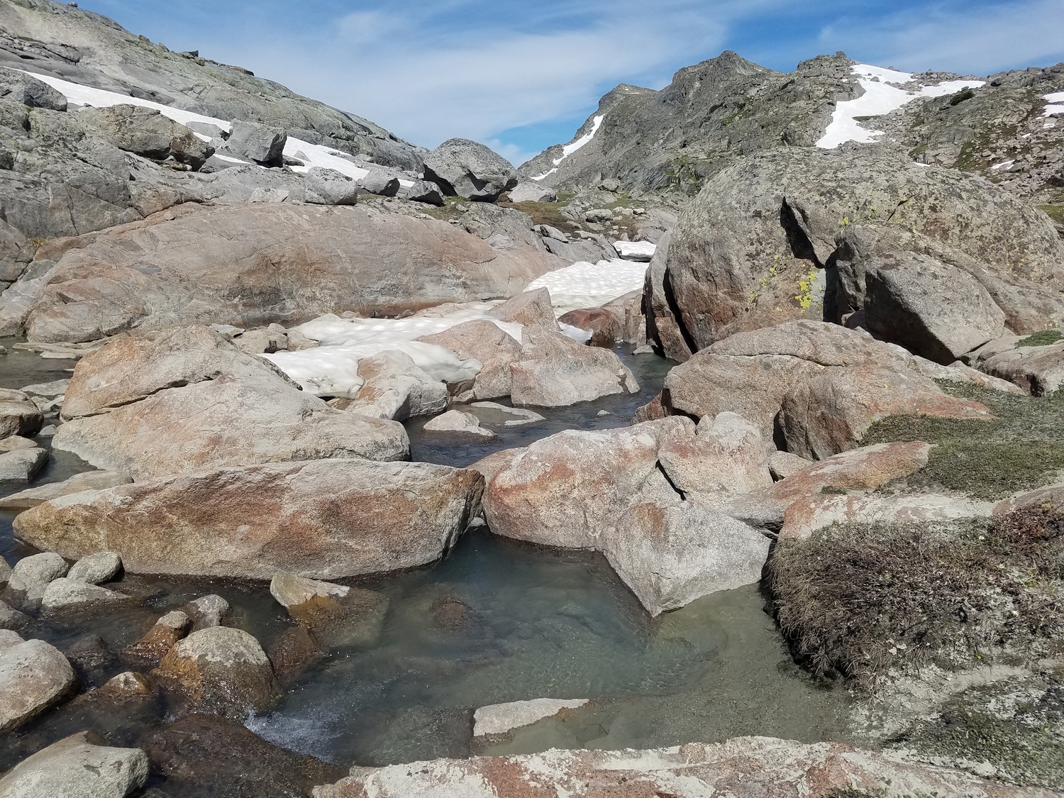
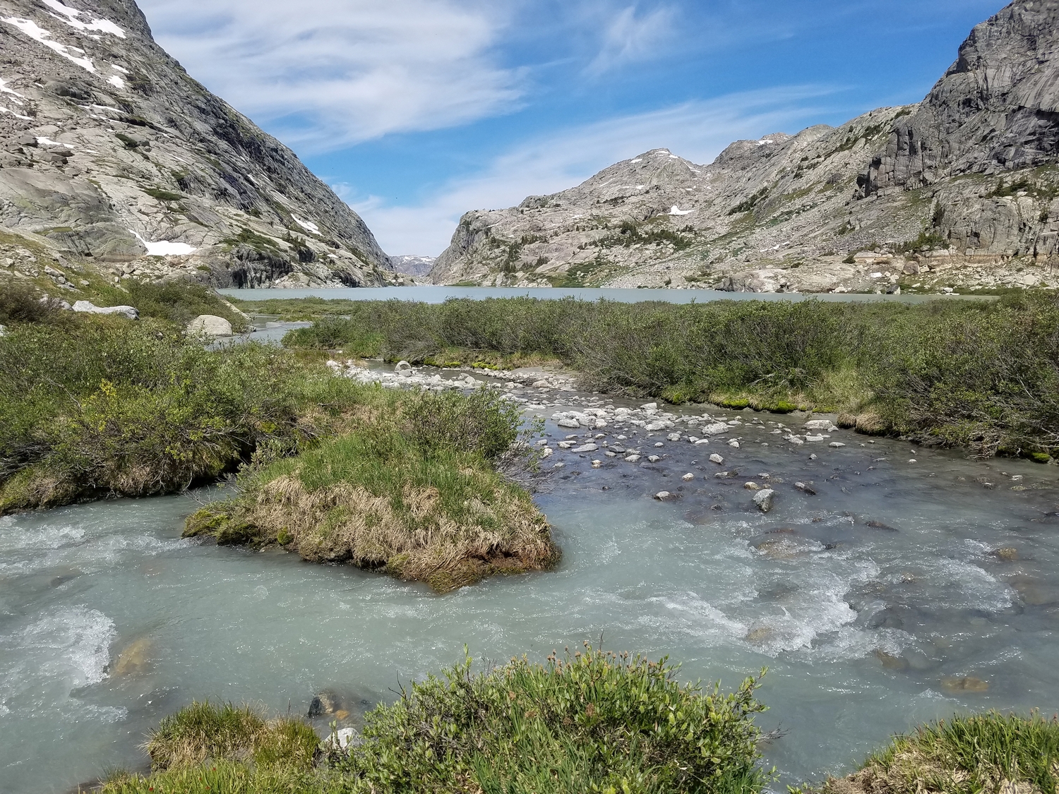
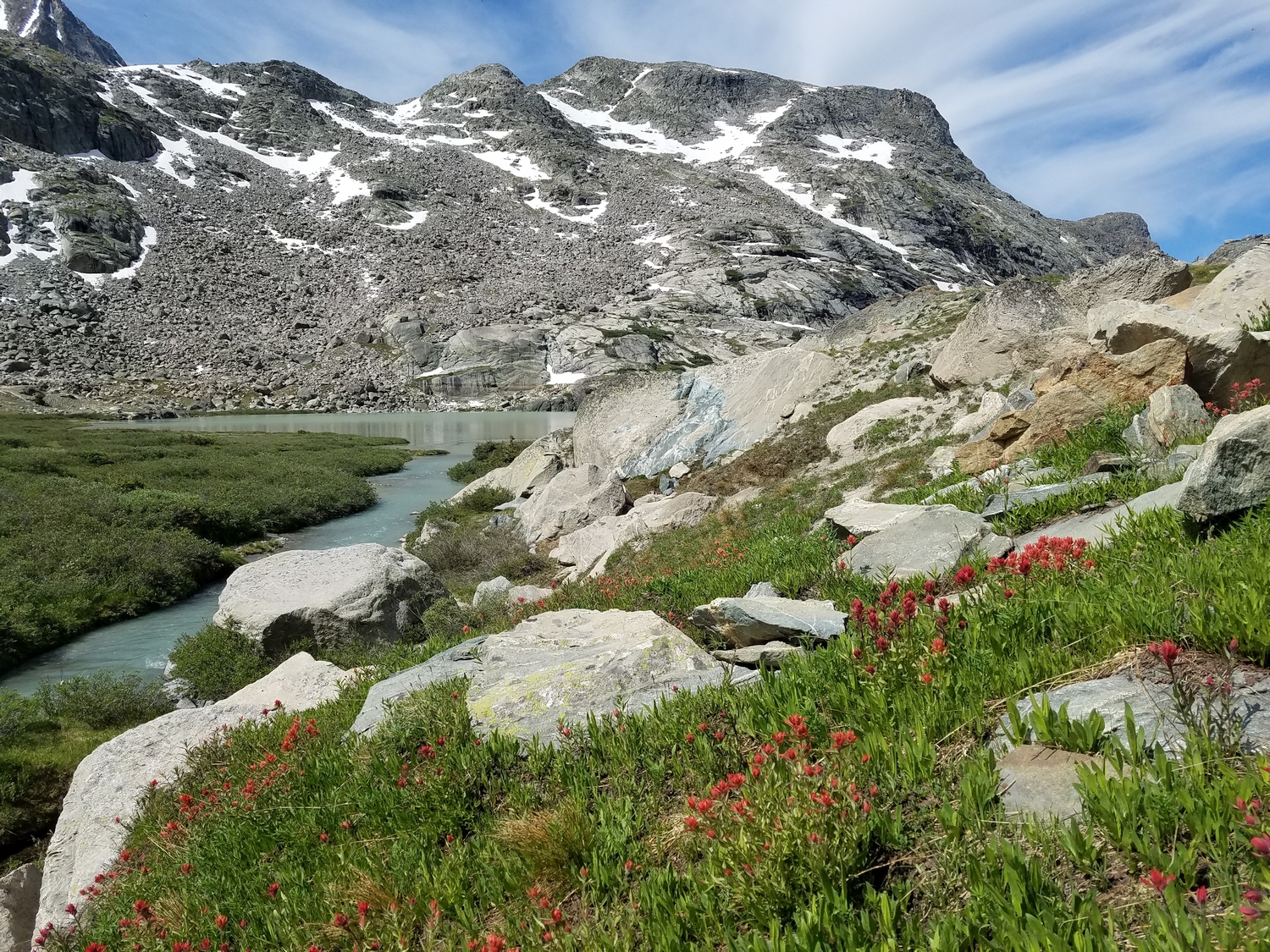
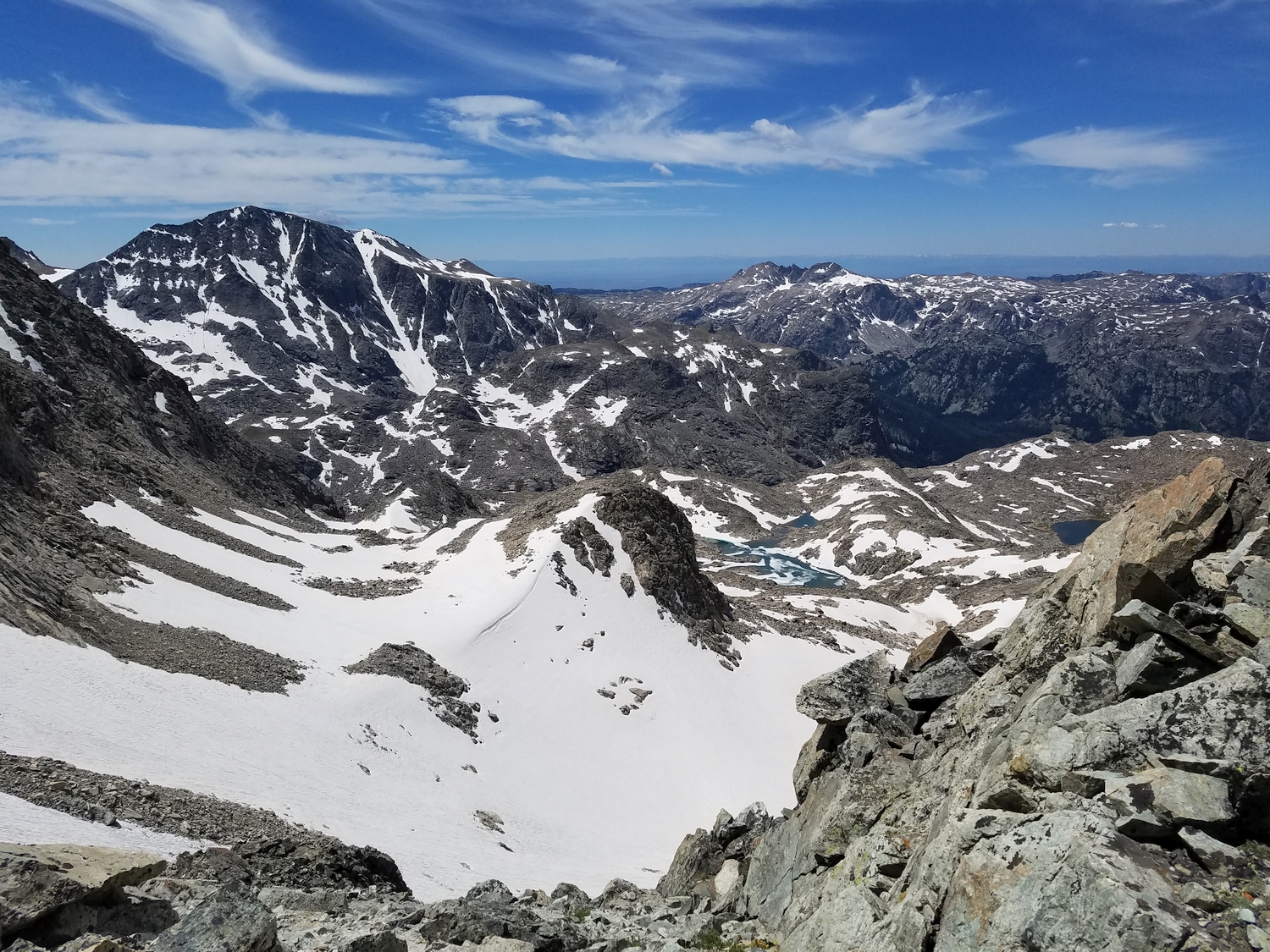
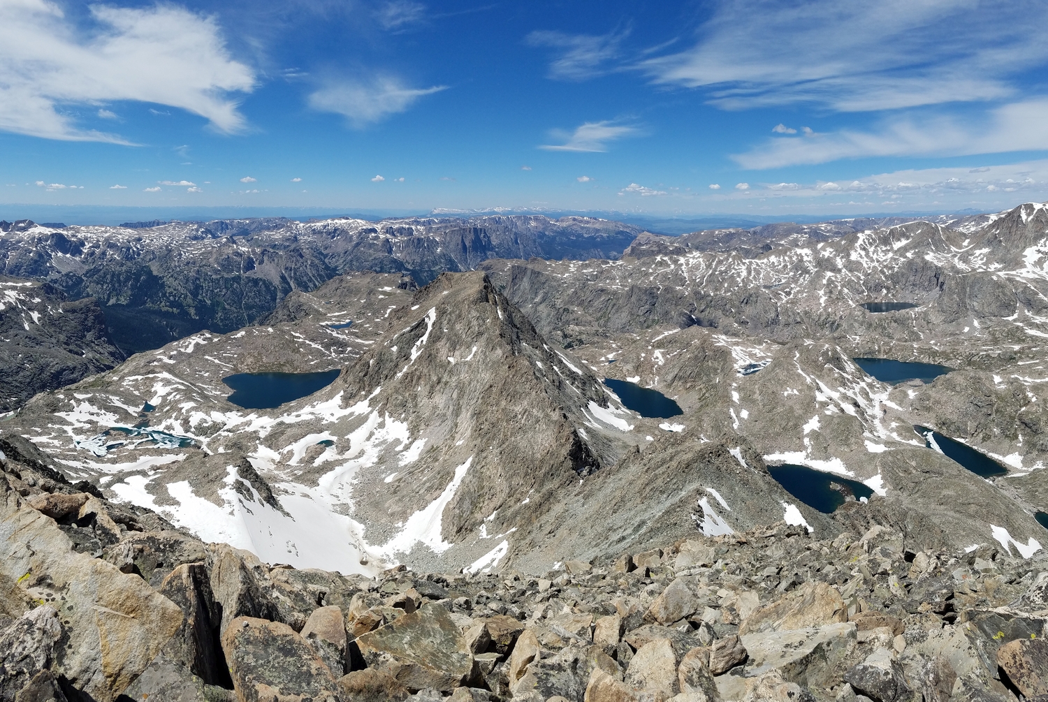
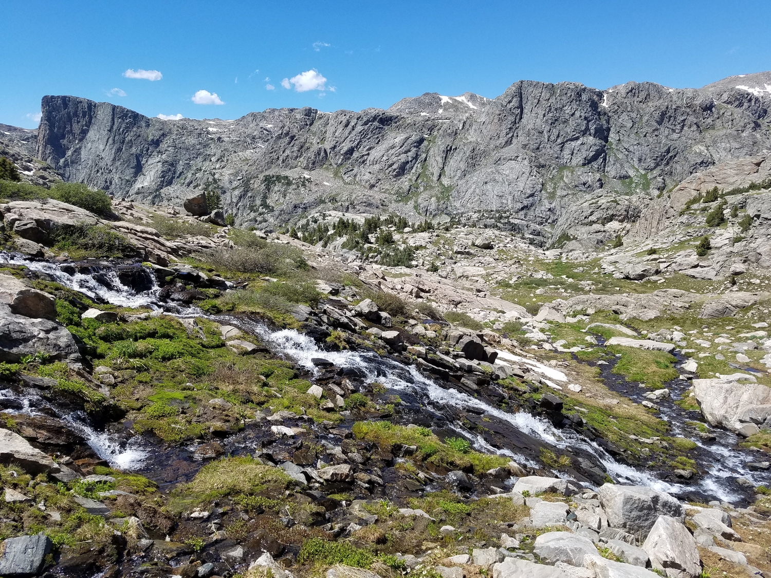
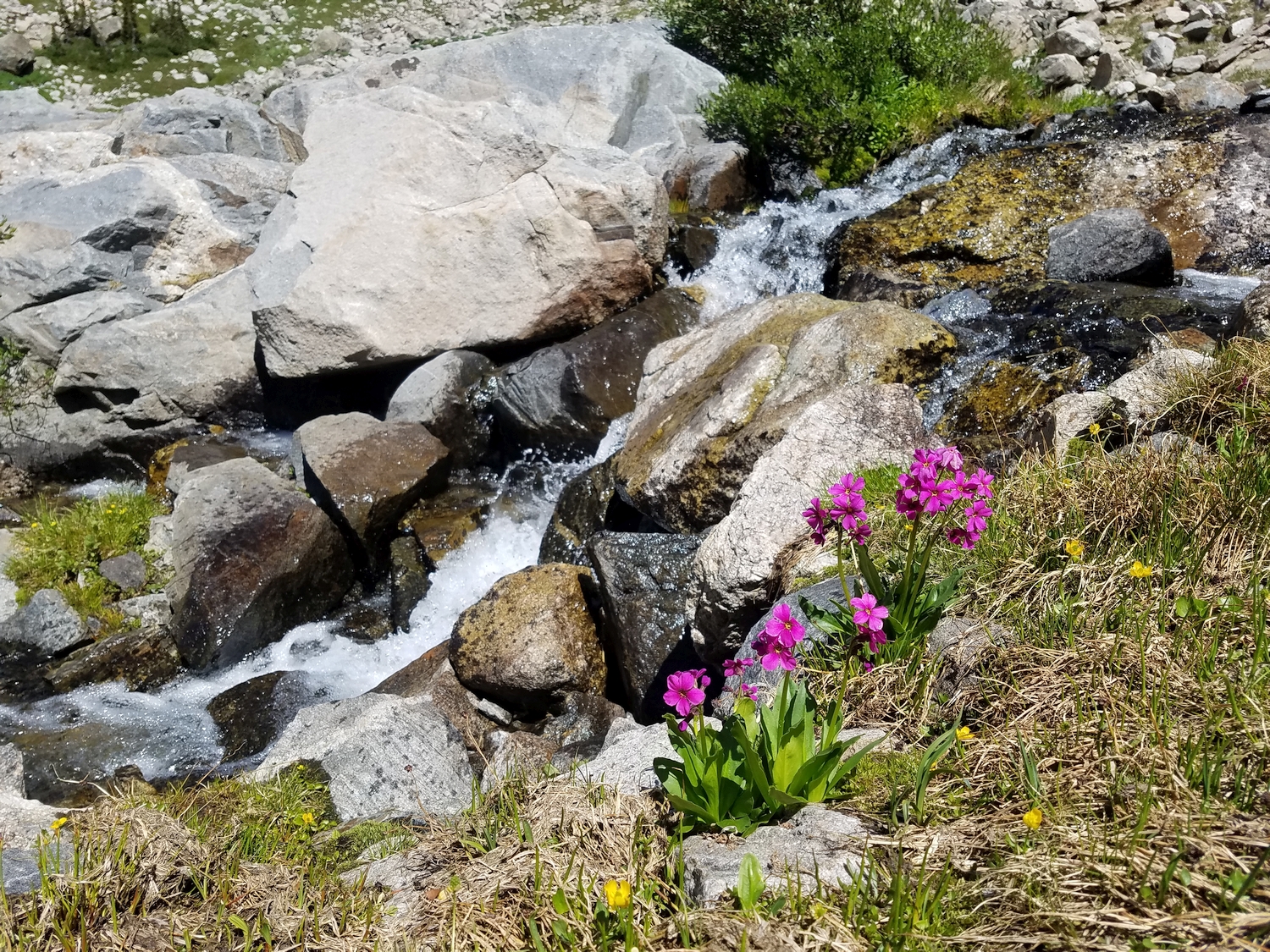
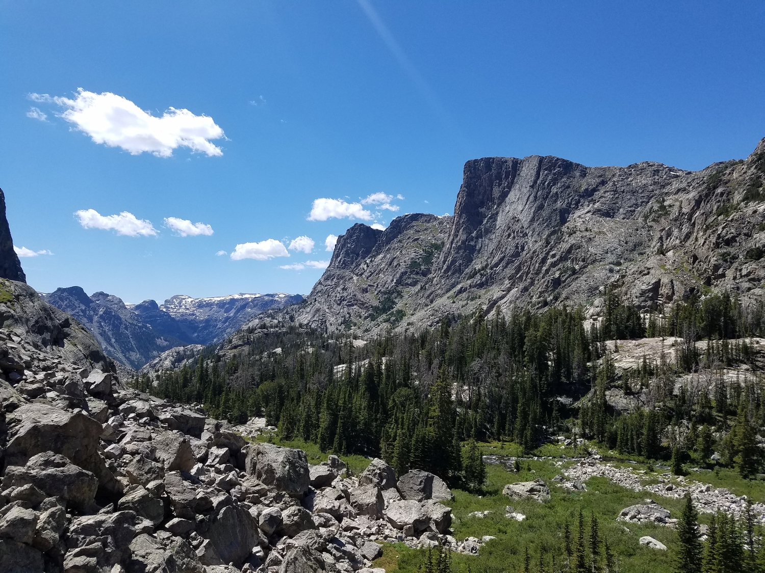
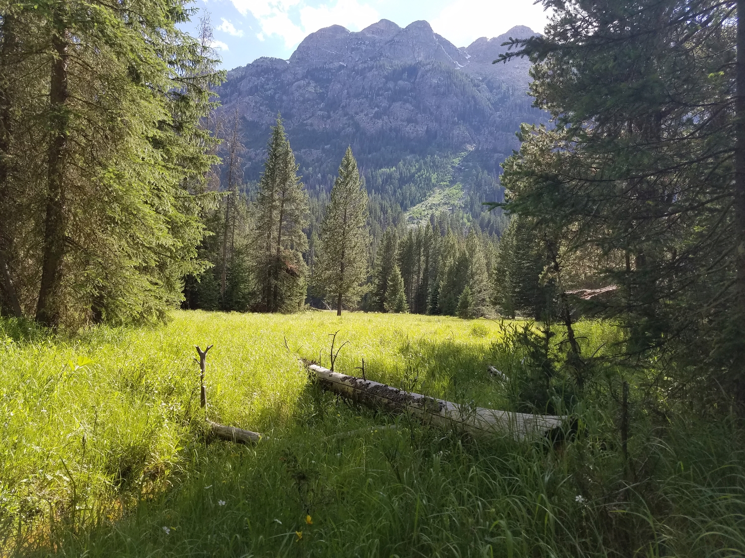
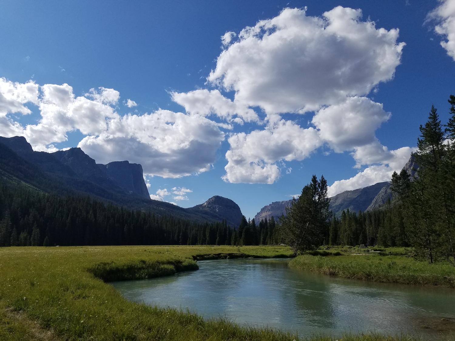
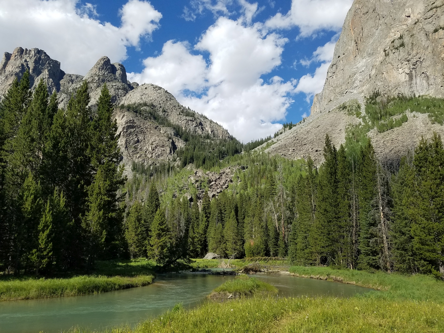
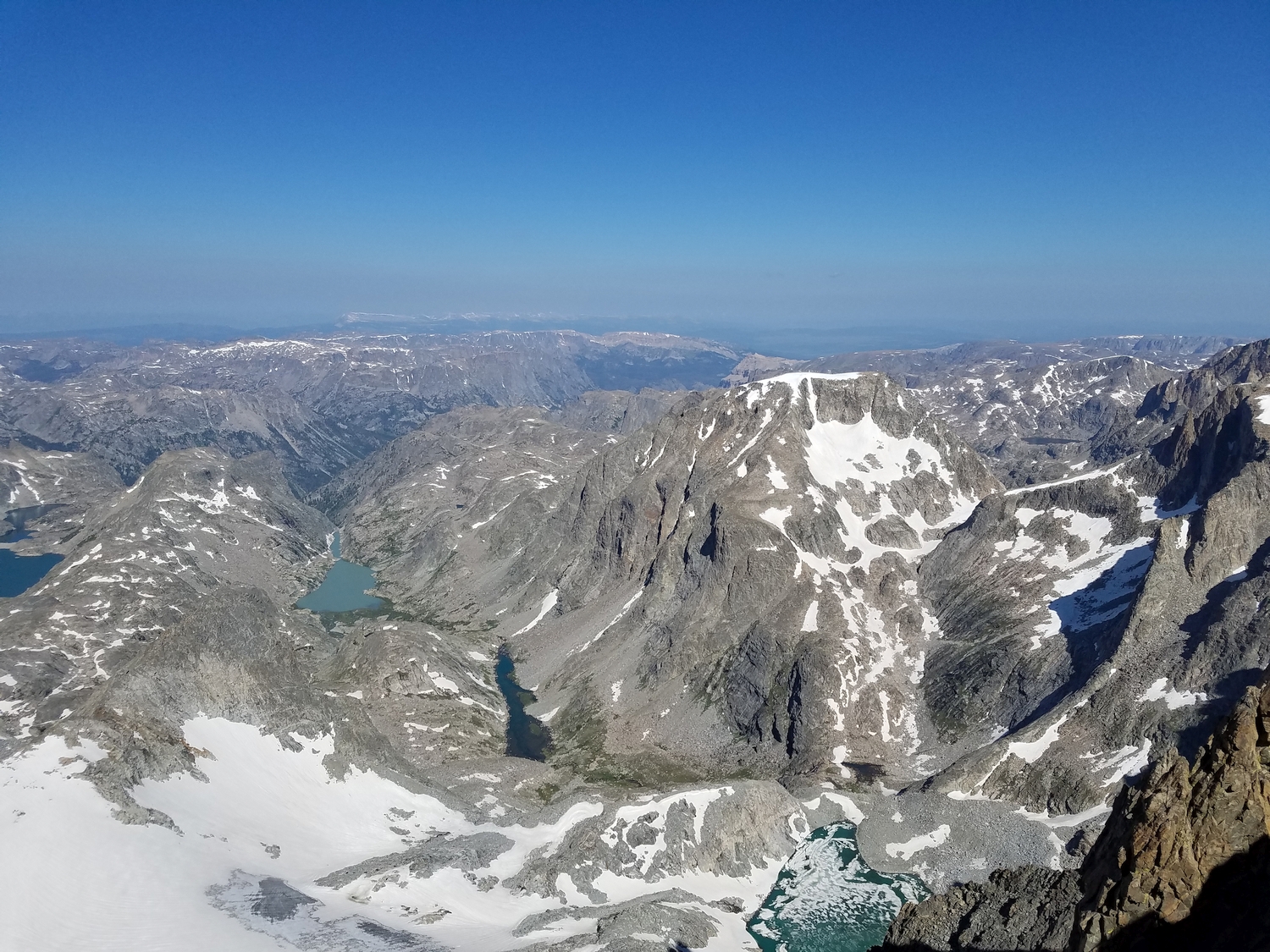
Where the valley slope begins to lessen, continue up through talus fields, now with very large boulders, to finally reach the idyllic upper region of Tourist Creek. Here, a mix of pleasant alpine forests and lush meadows interweave with the boulder fields along the pleasant creek, and the easiest travel can be found along a mix of use trails.
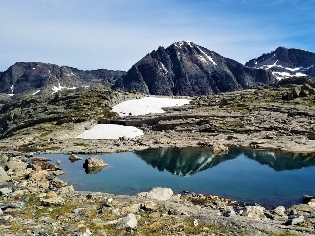
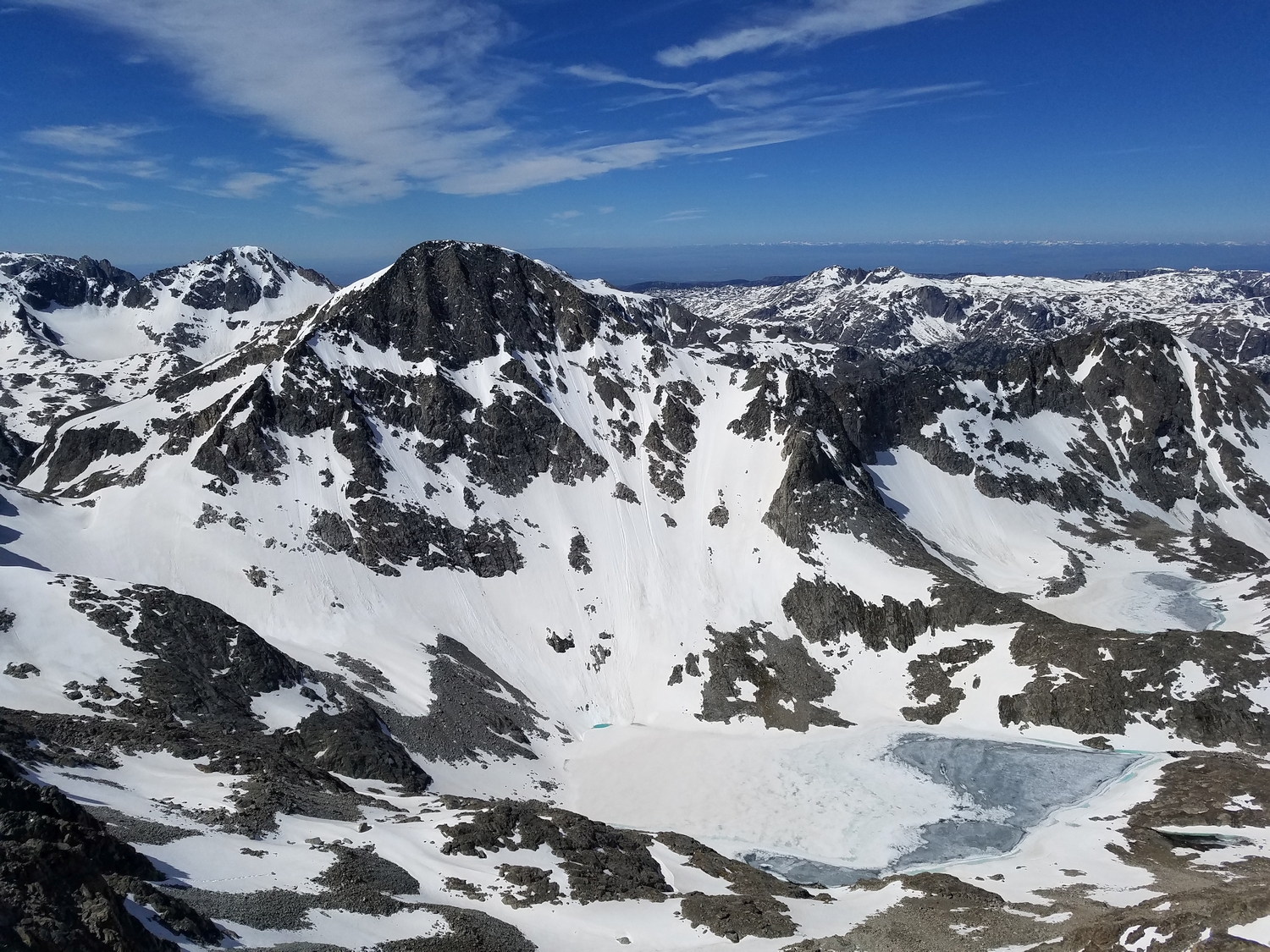
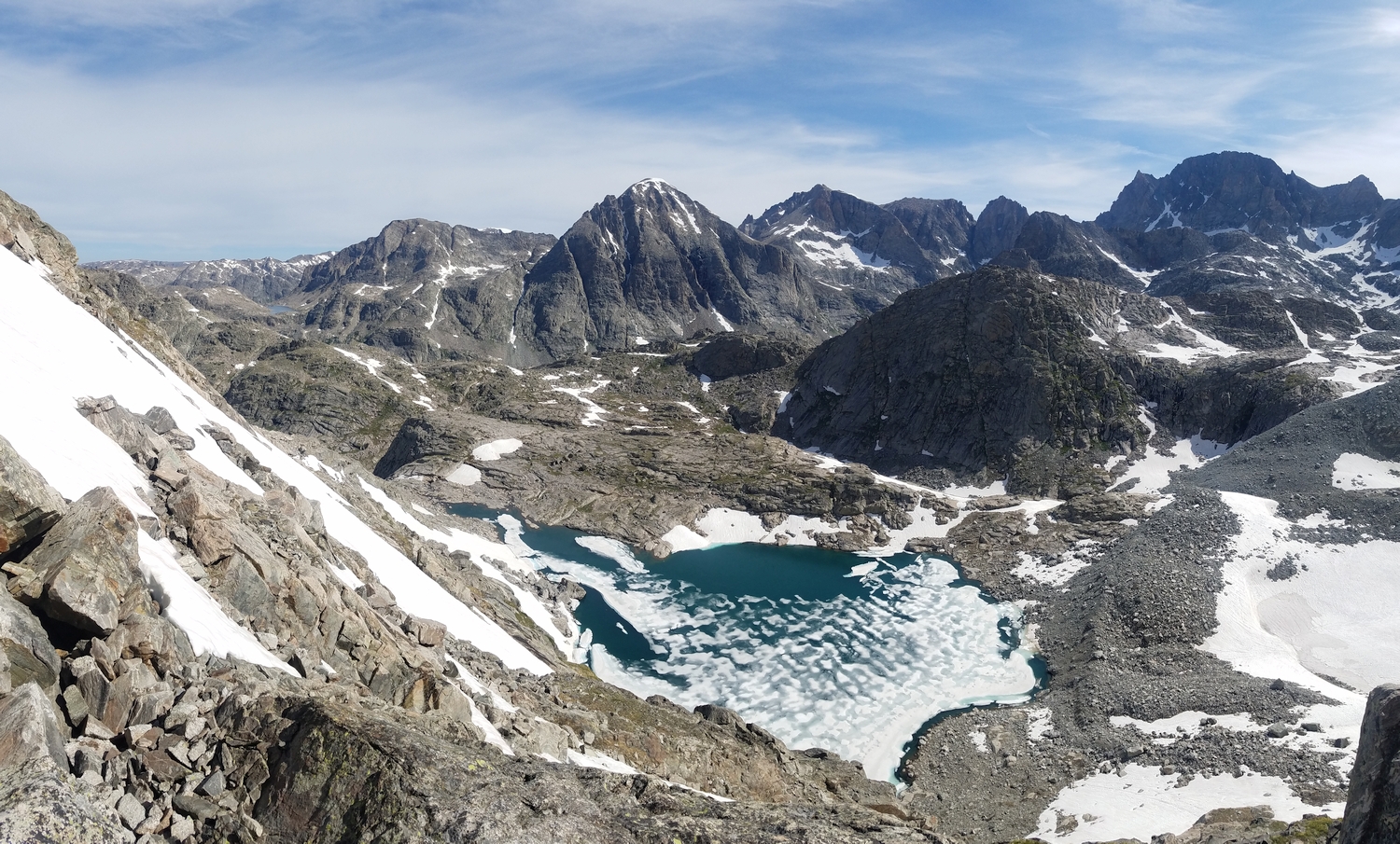
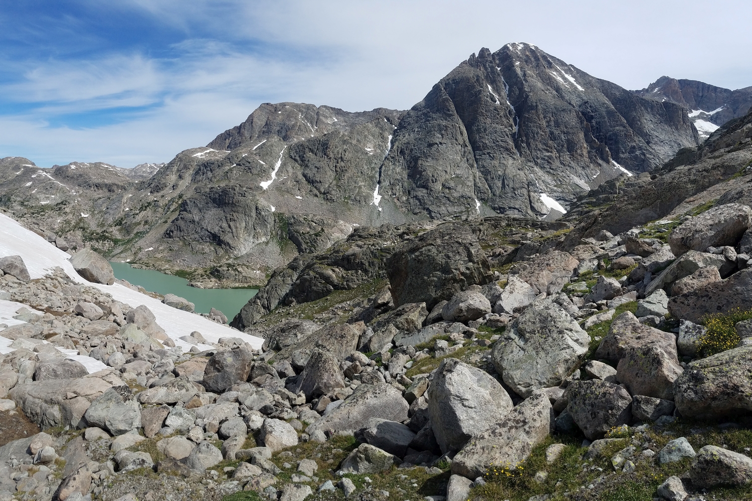
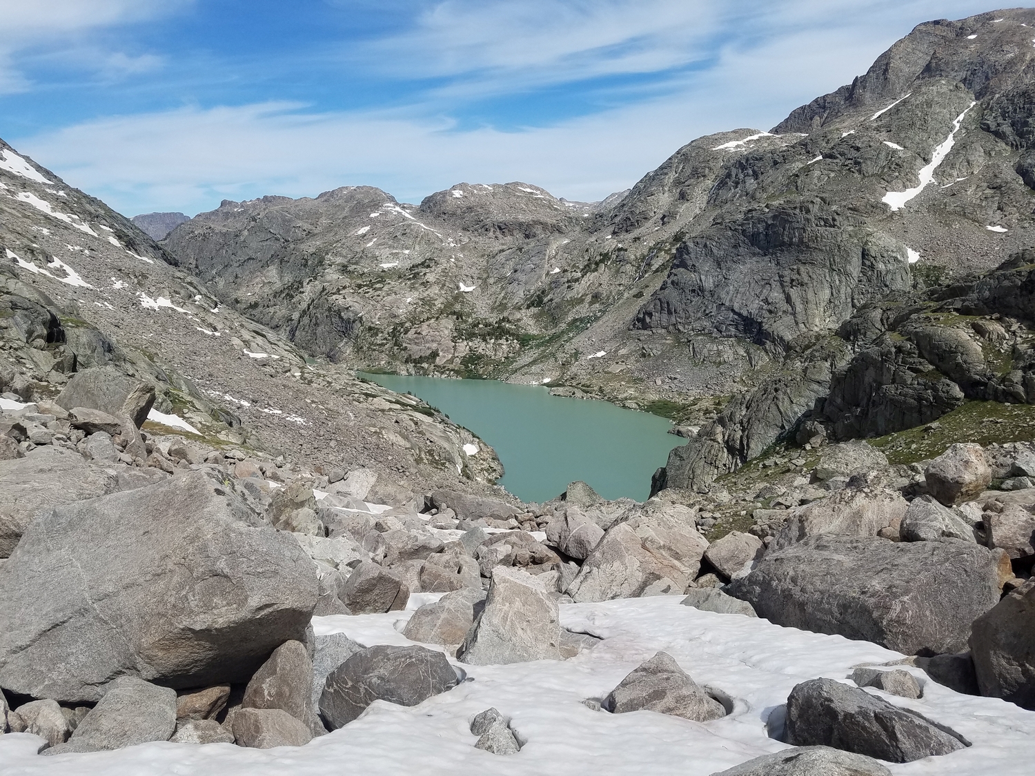
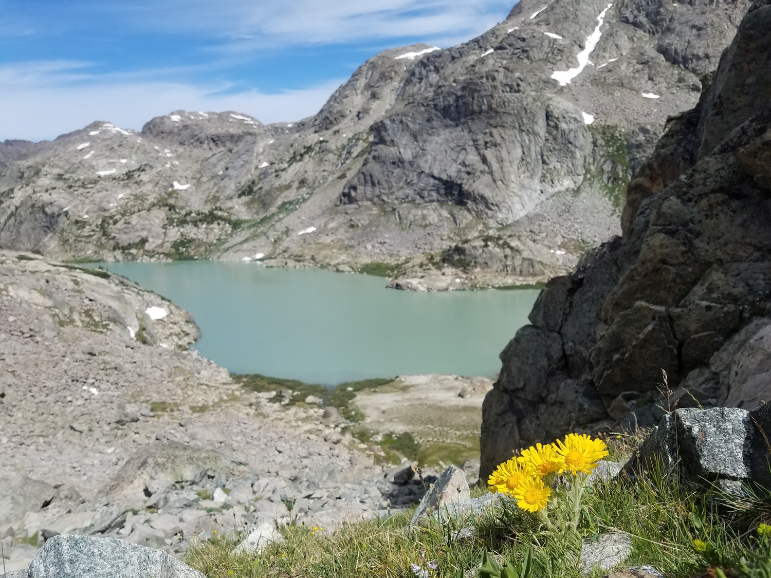
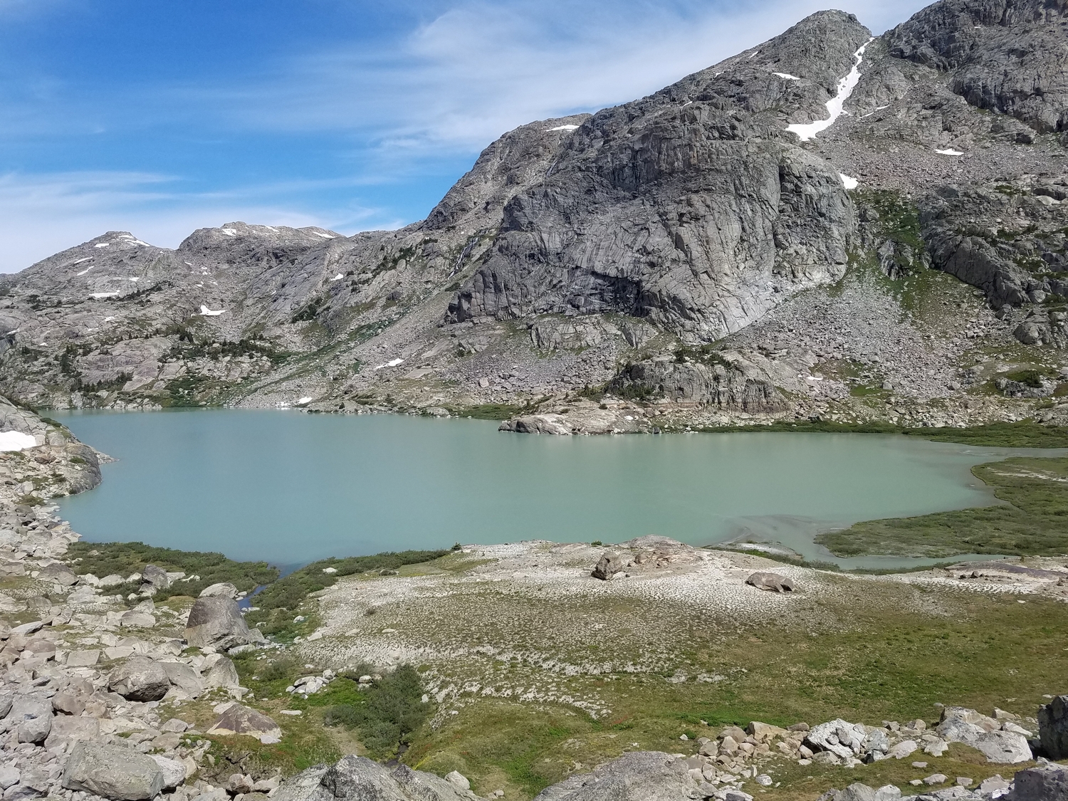
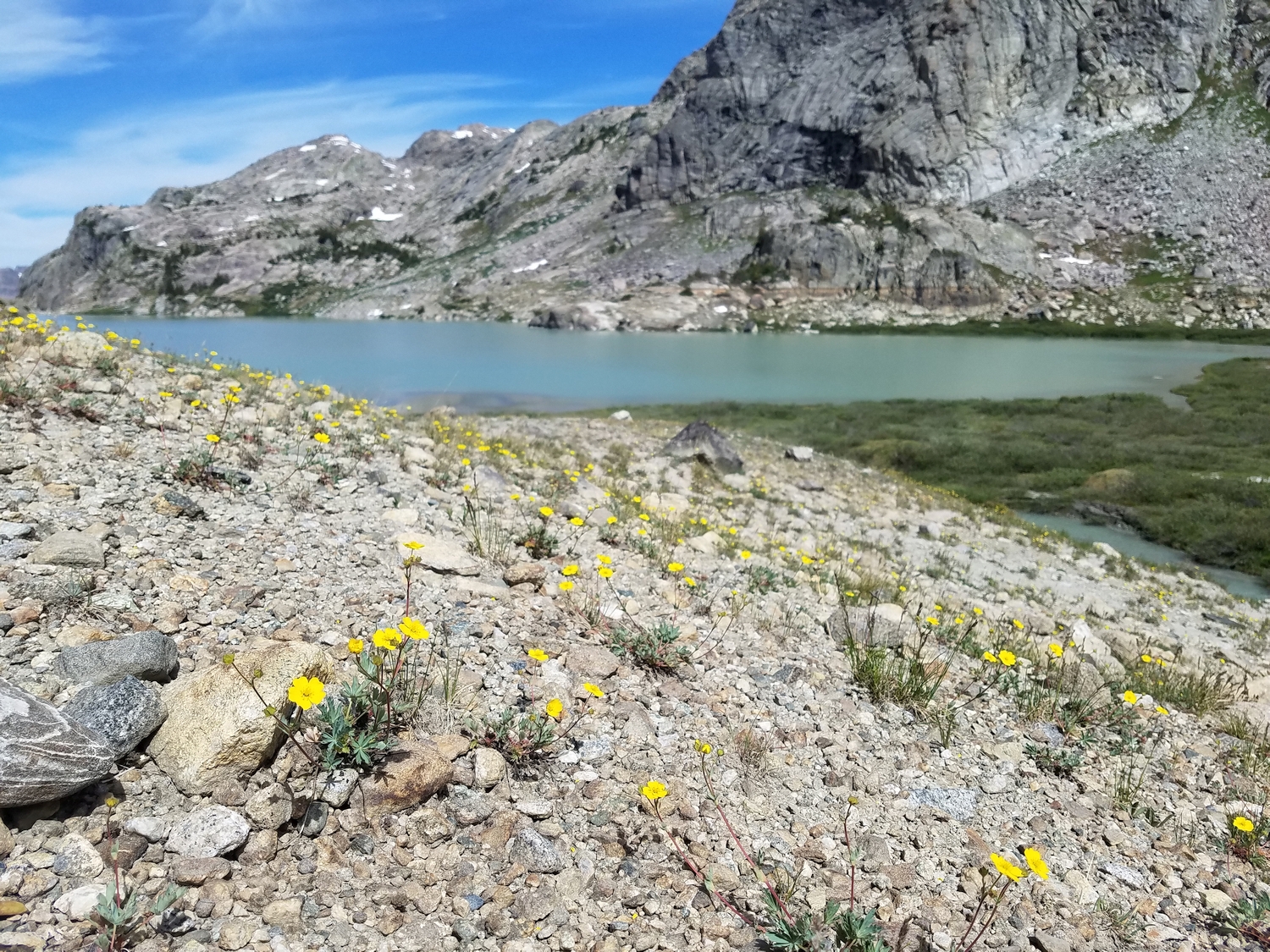
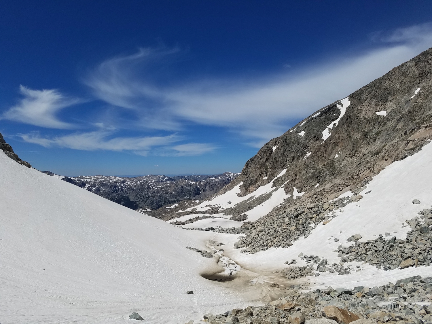
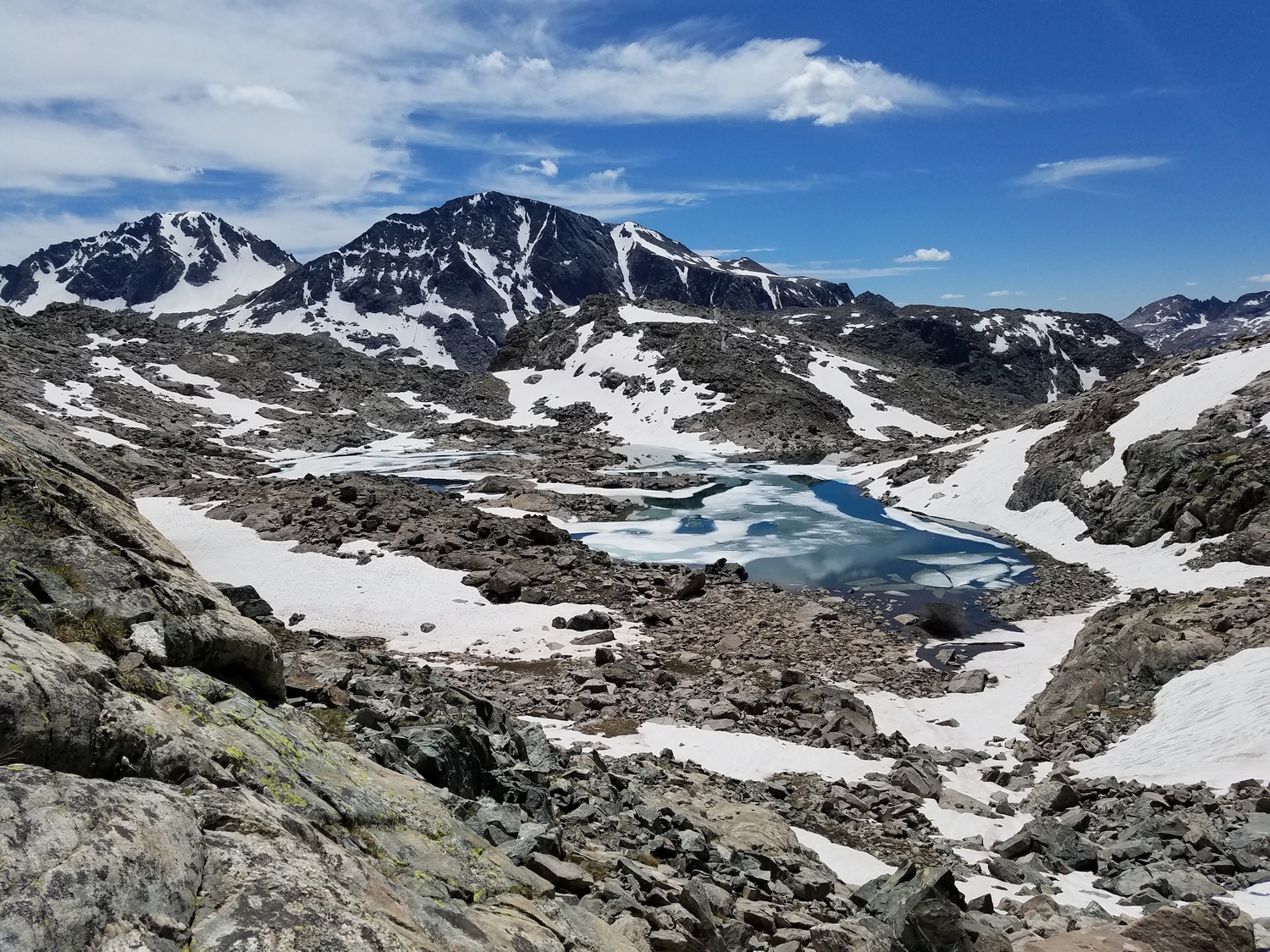
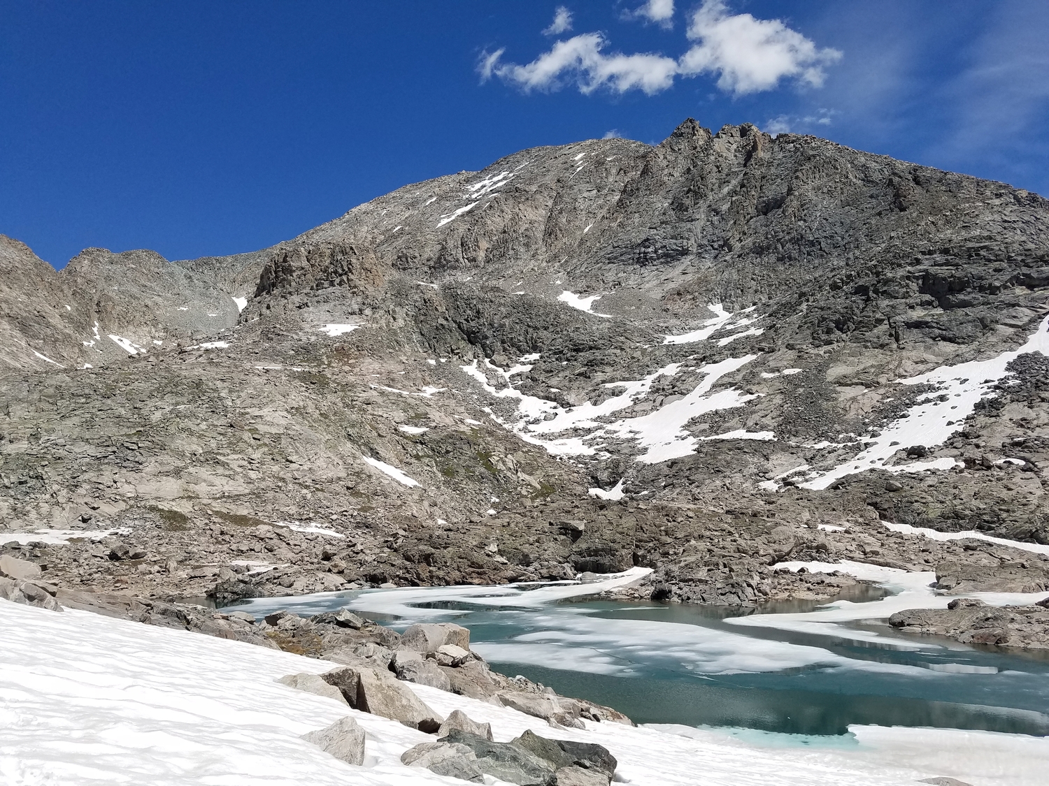
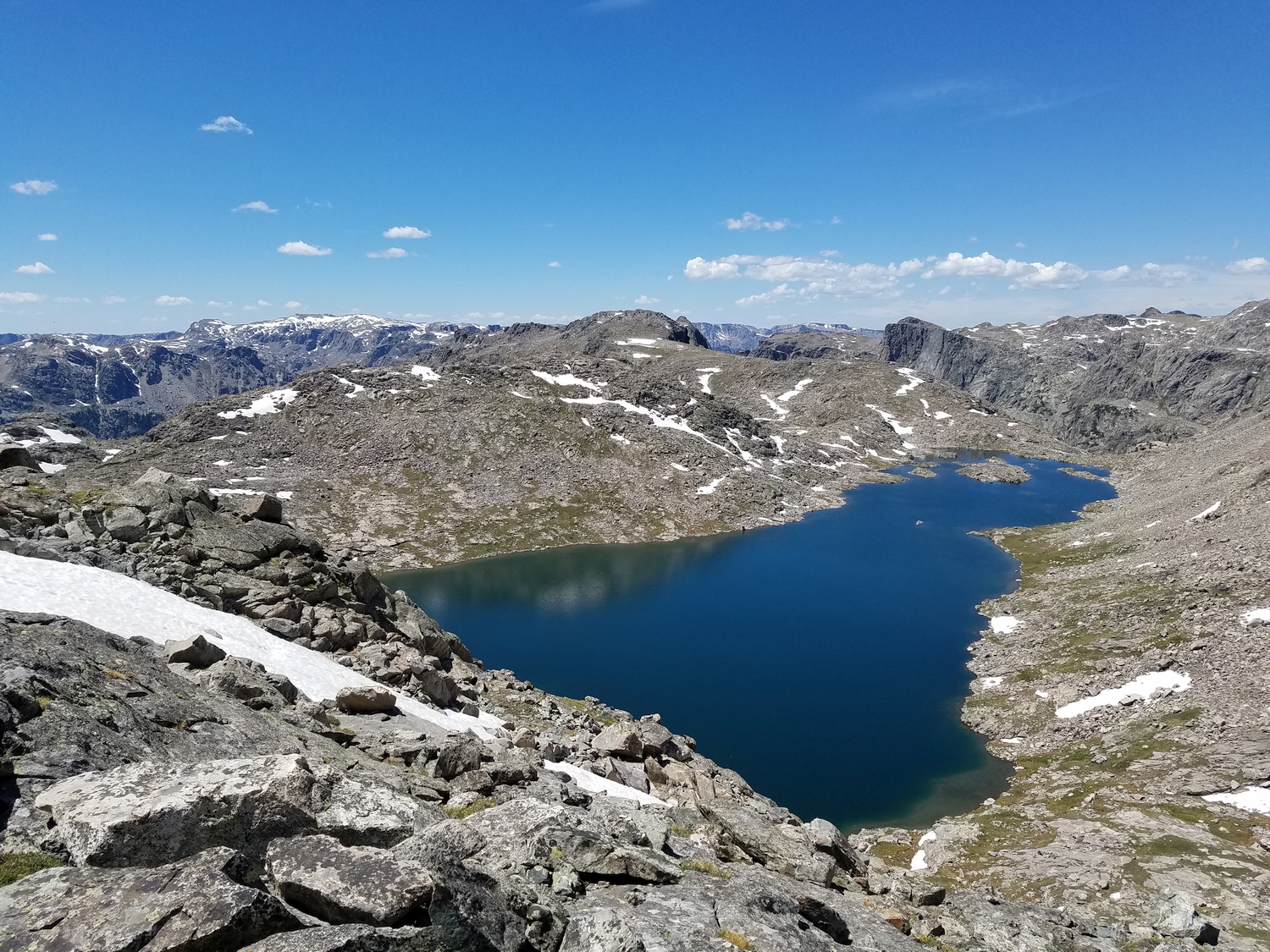
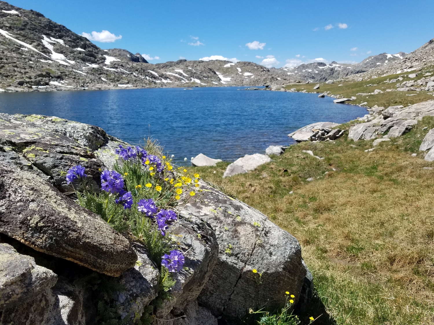
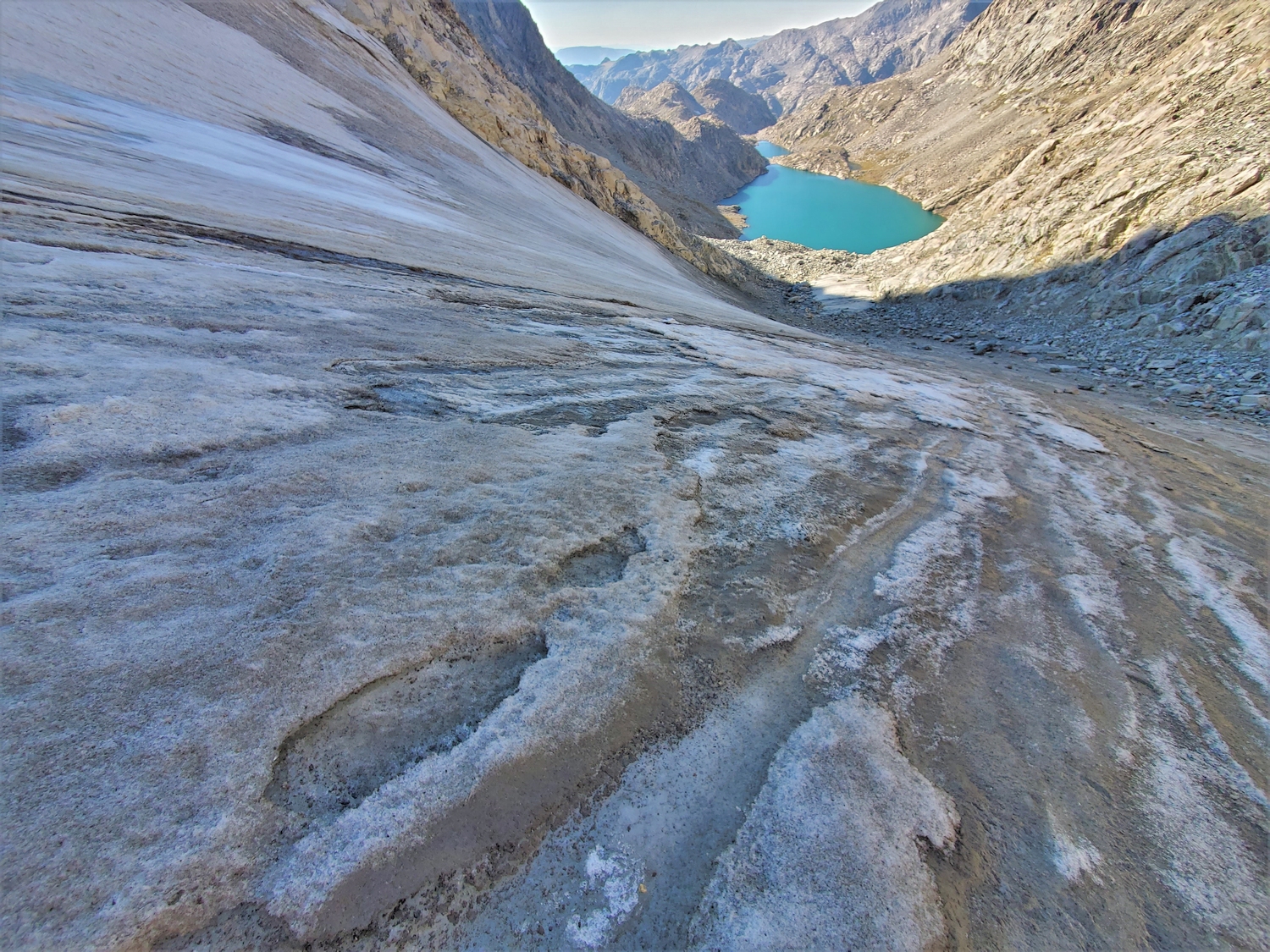
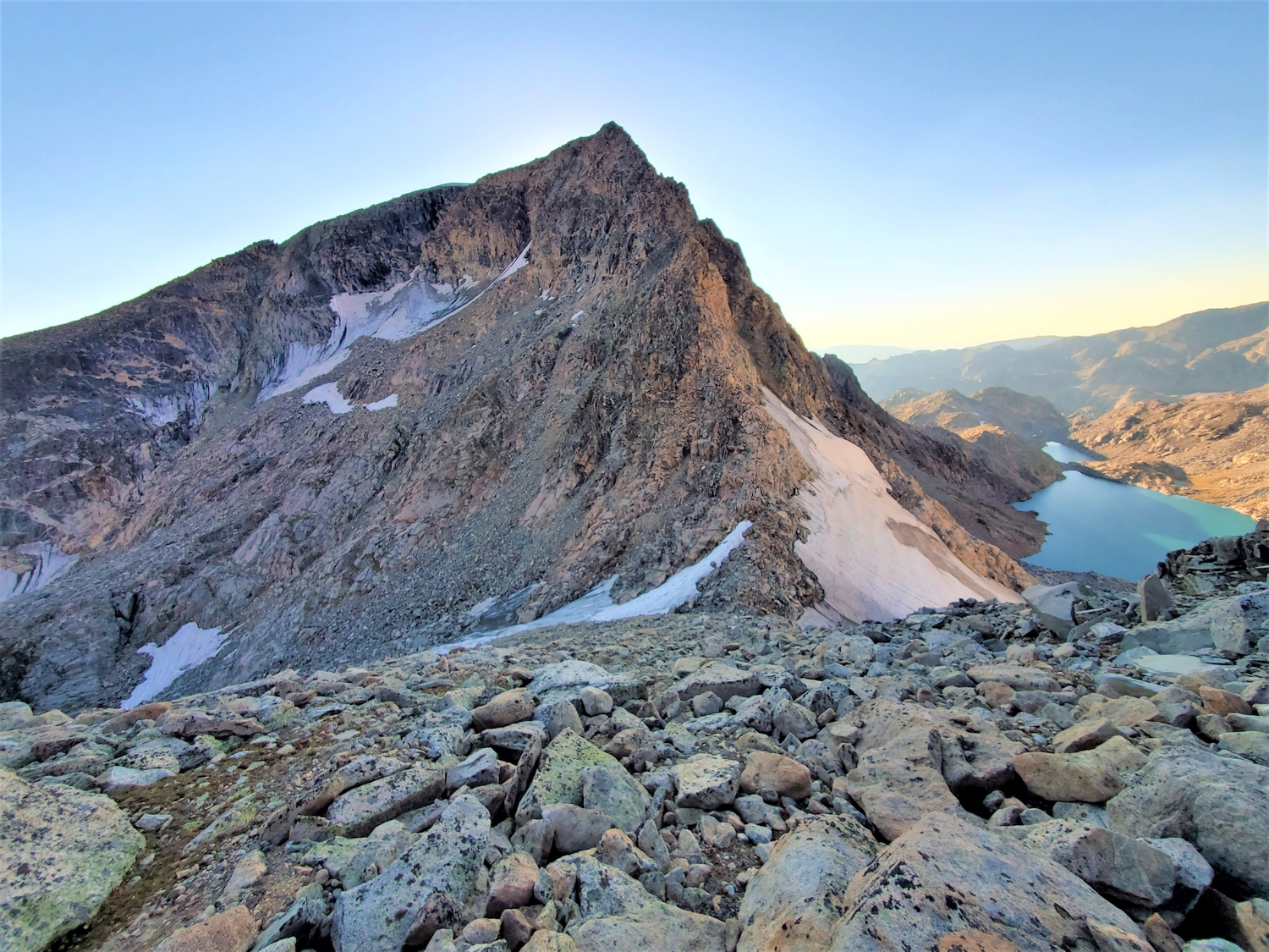
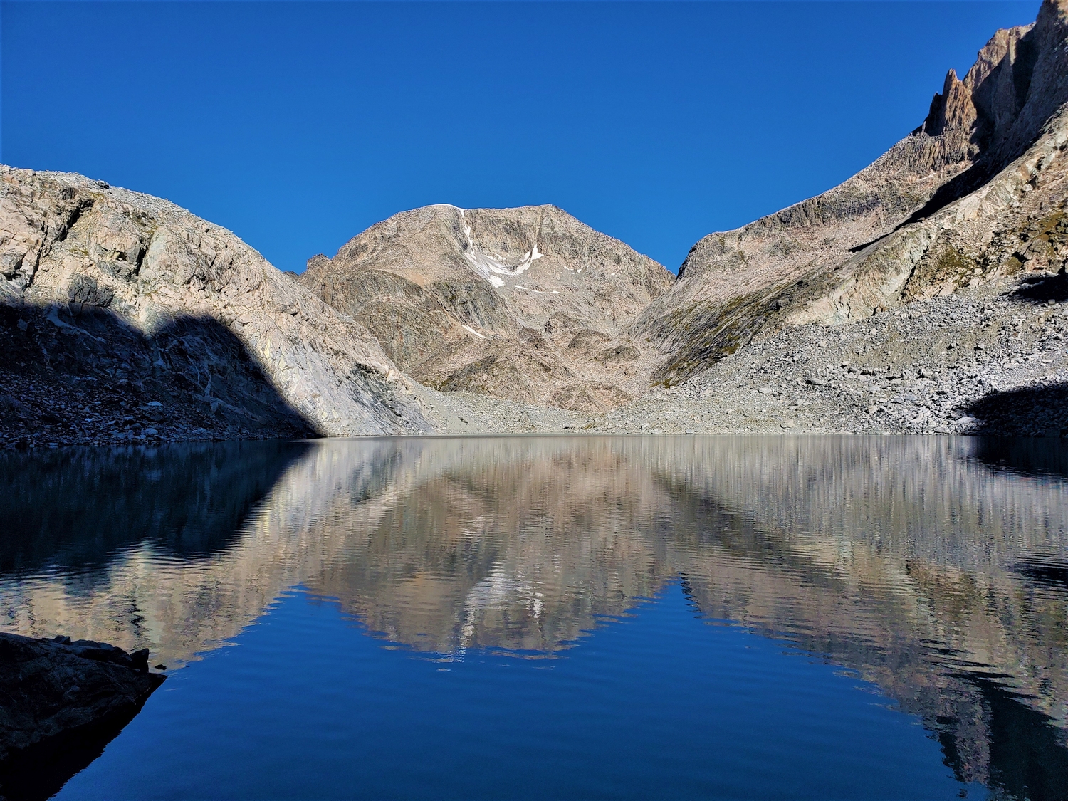
To approach Desolation Peak, leave the creek around 10,200 ft., hiking south up a steep side-valley to reach Lake 11085. Pass this long, scenic lake, and ascend eastward up grassy ramps and mellow rock slabs to reach Lake 11510.
Approach B: From Scott Lake
Scott Lake is a central landmark in the Wells Creek cirque which can be reached from a number of approaches. The most obvious and most difficult is a direct ascent of Wells Creek, a route of Wind River legend, which may vary between a 5.7 rock climb and a simple boulder scramble depending on whom you ask and how high the creek is.
For those coming from points to the south, two alpine cols provide backpacker-friendly routes into the Wells Creek cirque: Split Mountain Pass (class 2+ with crevassed glacier, see Split Mountain description) and Stone Pillar Pass (class 3, see Mount Whitecap description). Scott Lake can also be reached by Glacier Pass, which may have originally been named as a connector between the Dinwoody-side Glacier Trail to the other Glacier Trail above Peak Lake, or by climbing and descending any of the peaks on the cirque’s crest.
However, most parties approach Scott Lake by descending grass and scree slopes from Lake 11085 after ascending Tourist Creek. This same slope is the natural access route to Desolation Peak beginning from Scott Lake: simply hike up to Lake 11085 and turn east to Lake 11510, or reach Lake 11510 more directly by climbing north from Scott Lake over steeper rocks and talus gullies.
Final Ascent, All Approaches
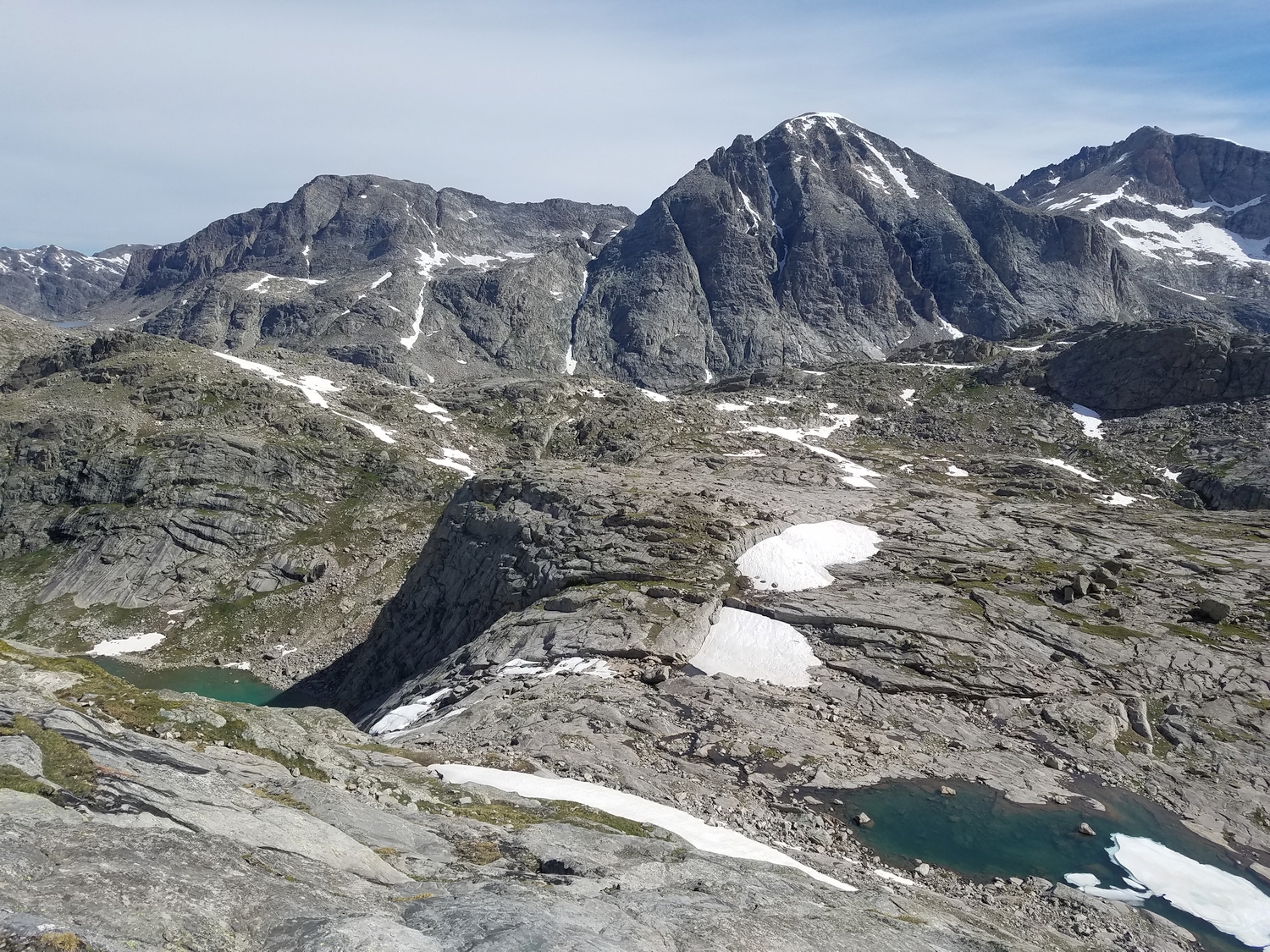
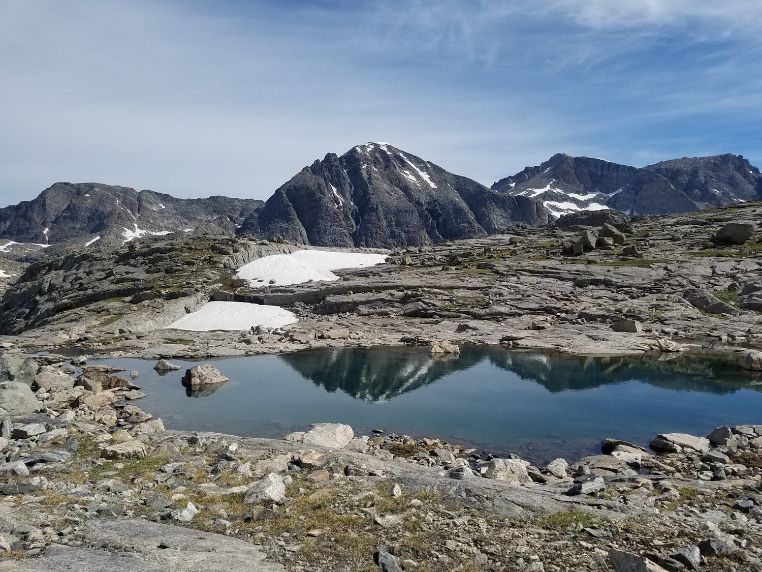
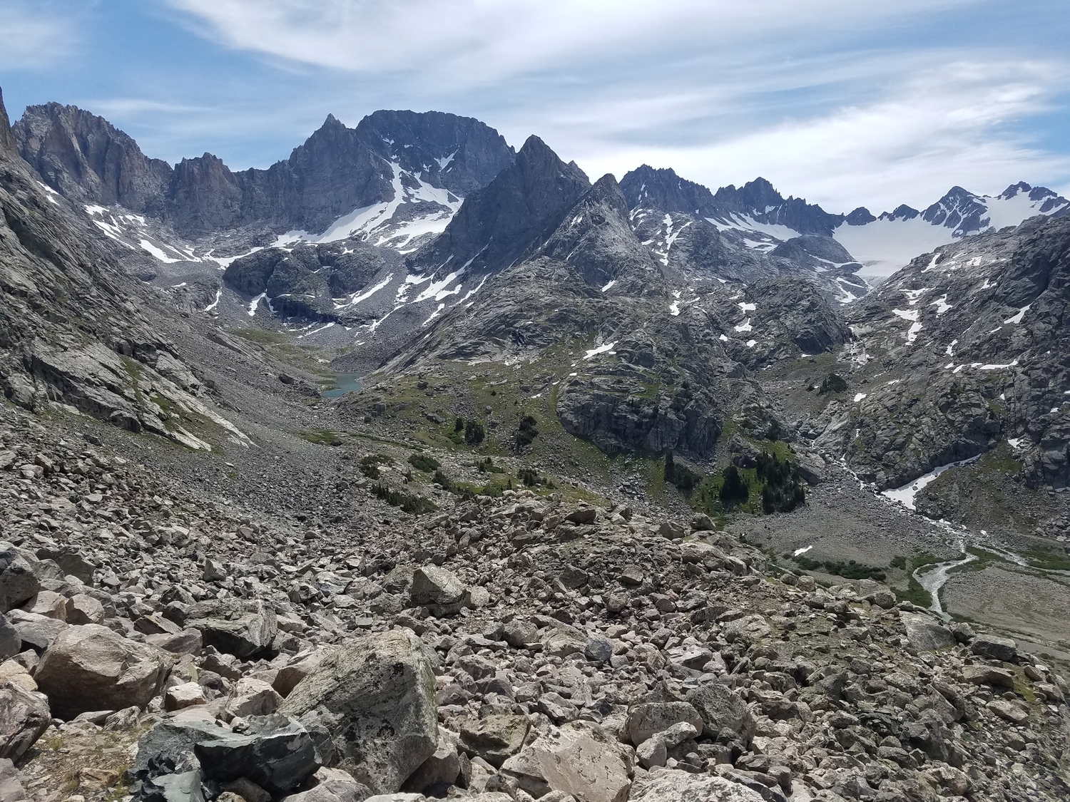
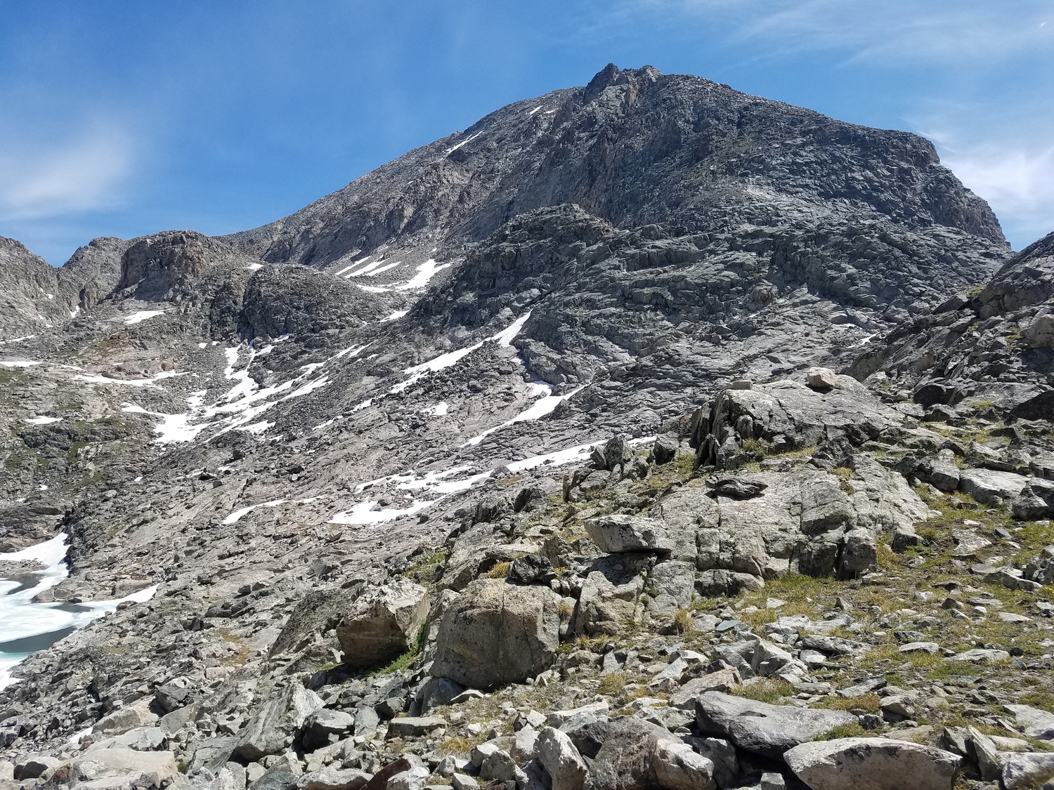
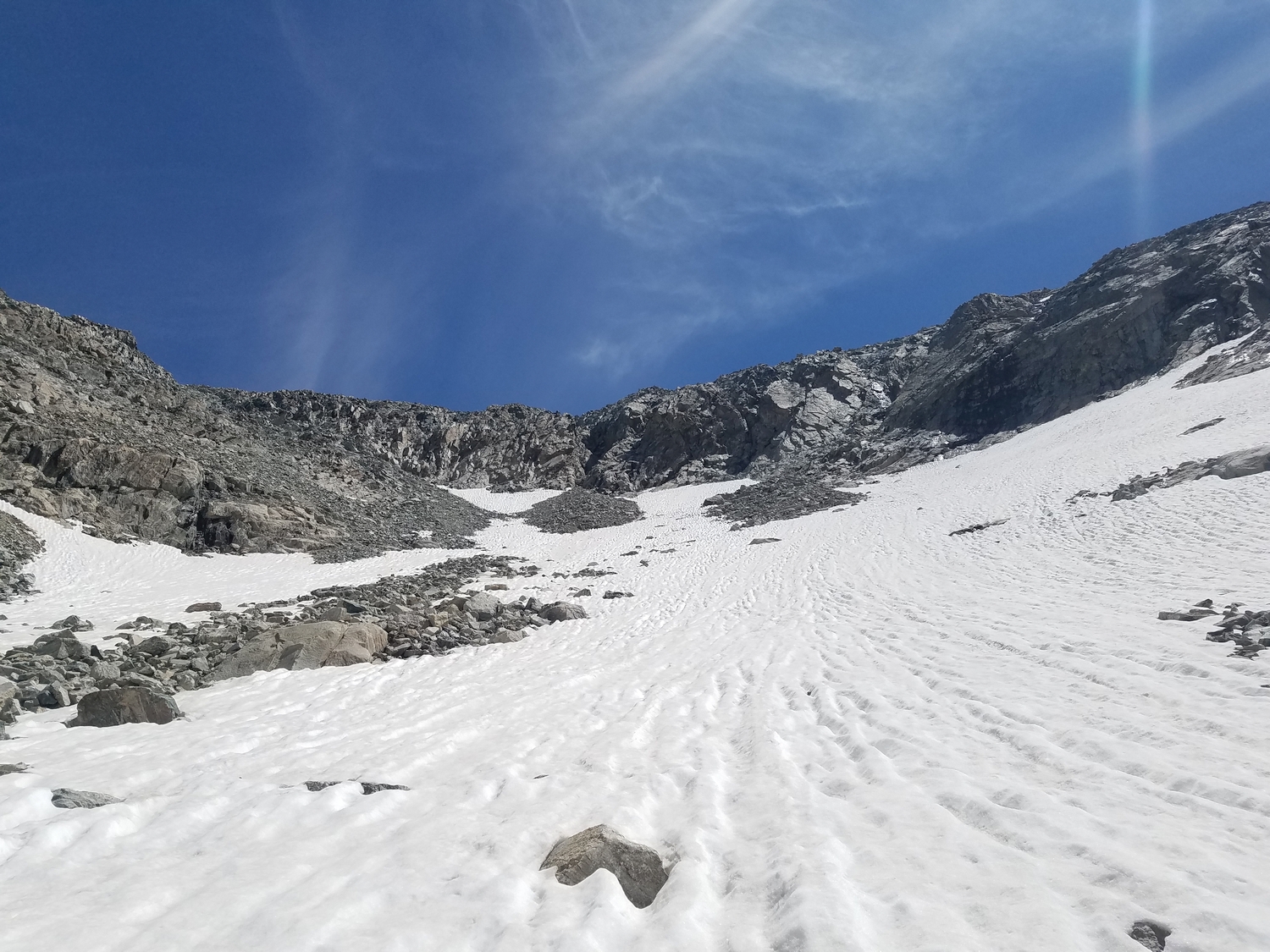
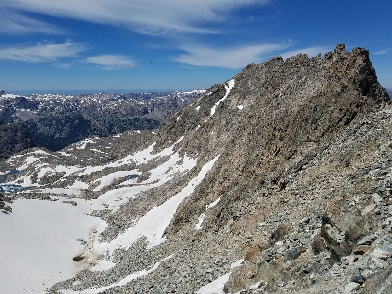
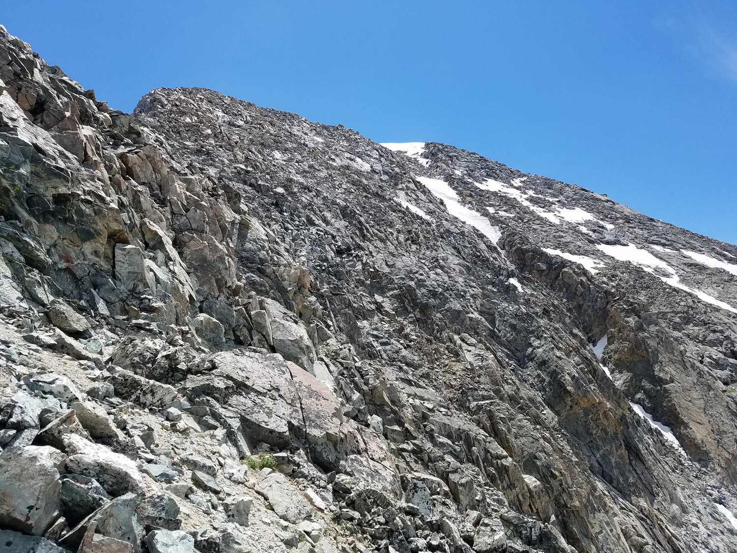
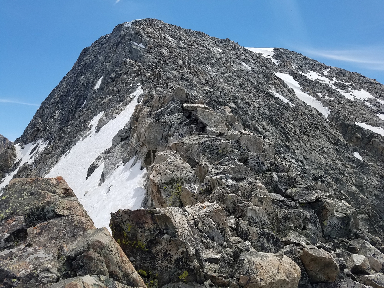
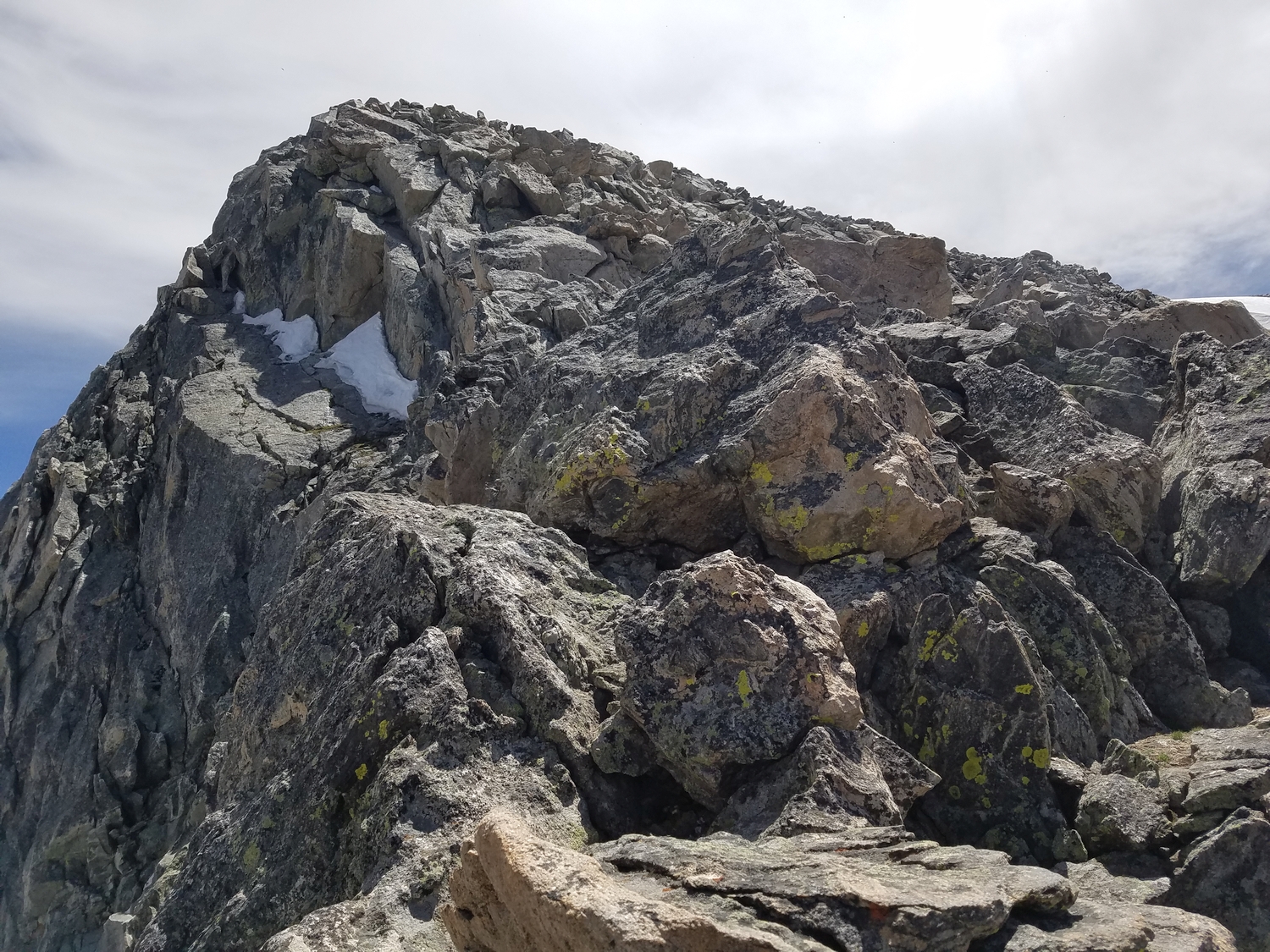
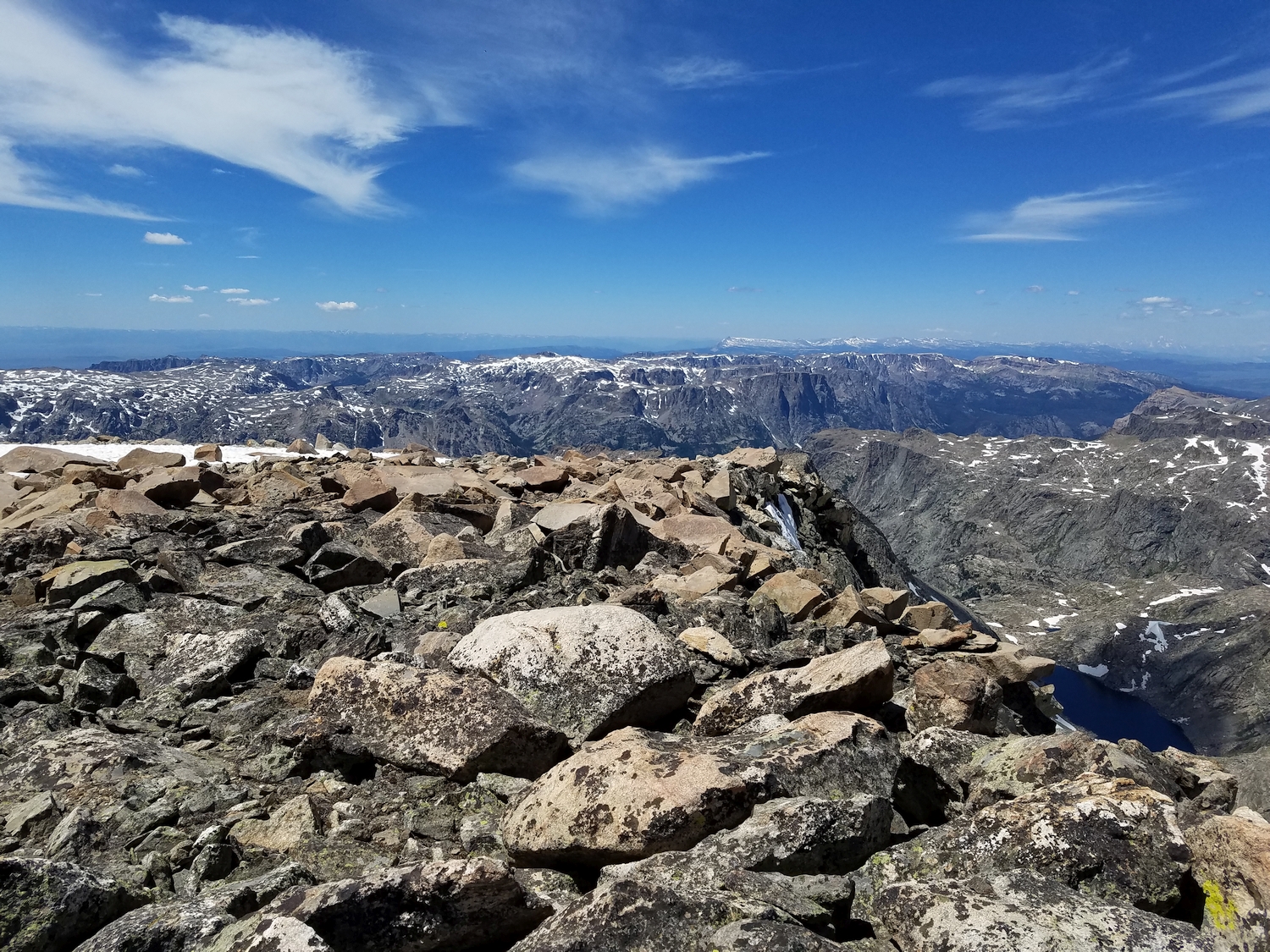
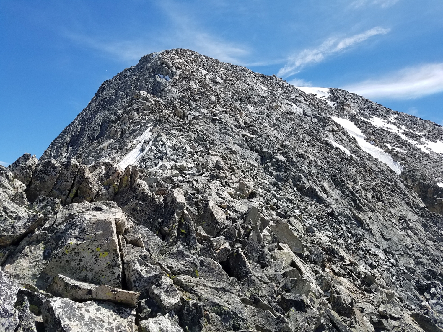
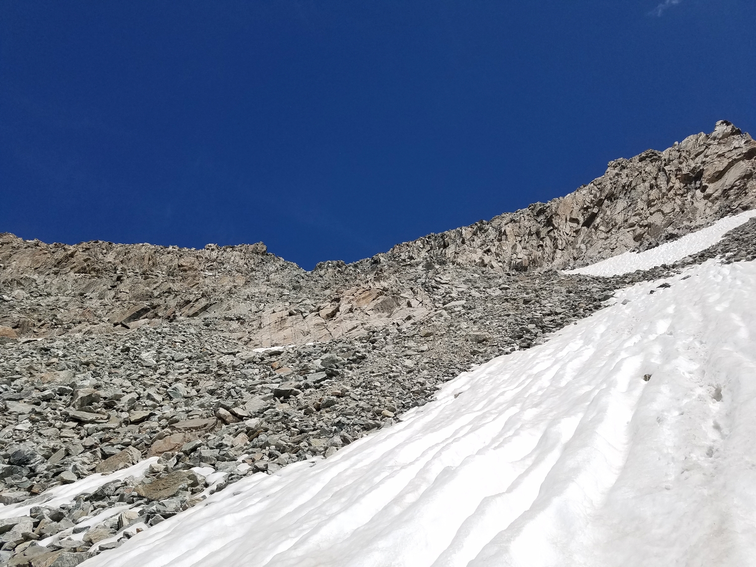
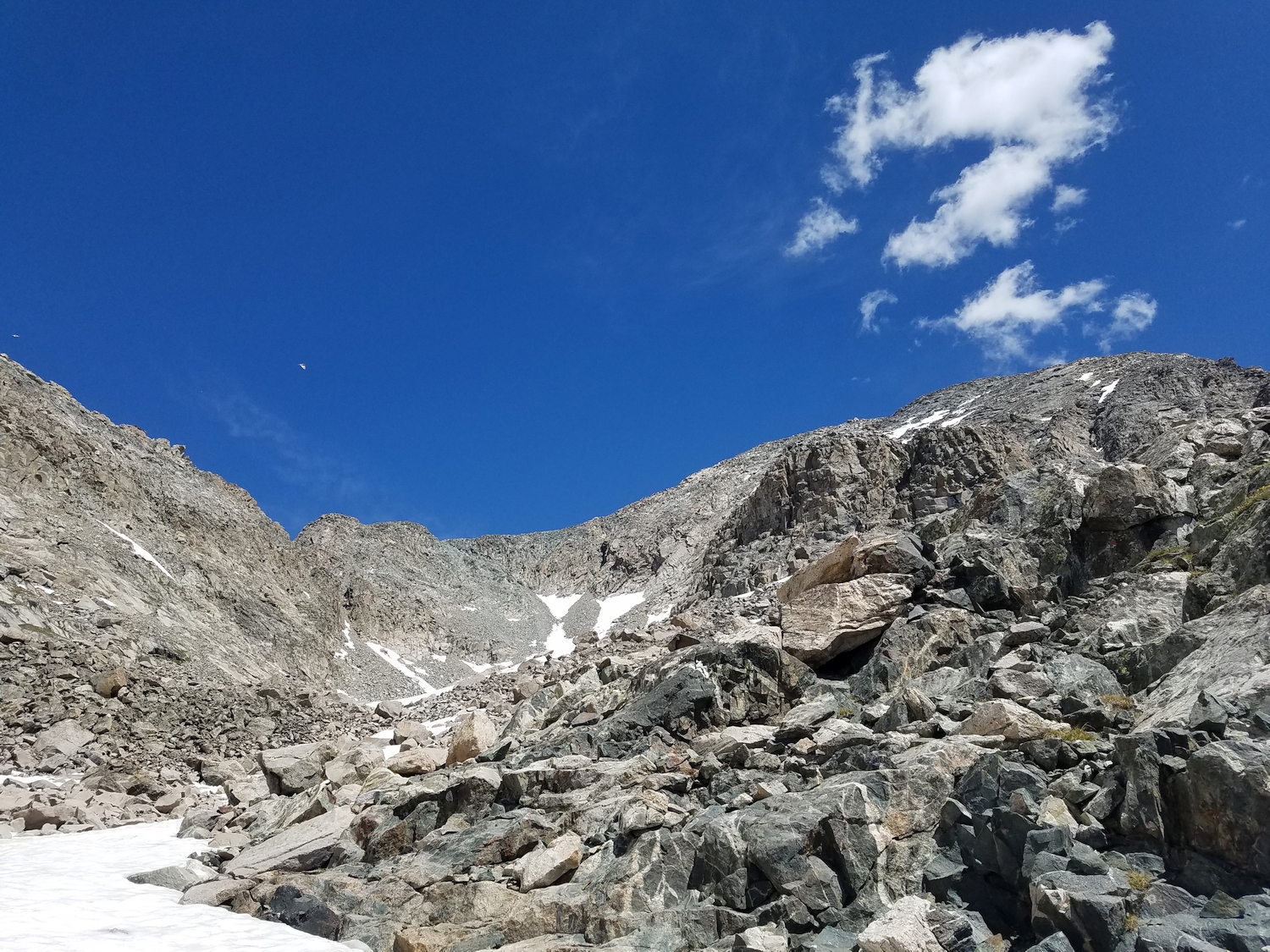
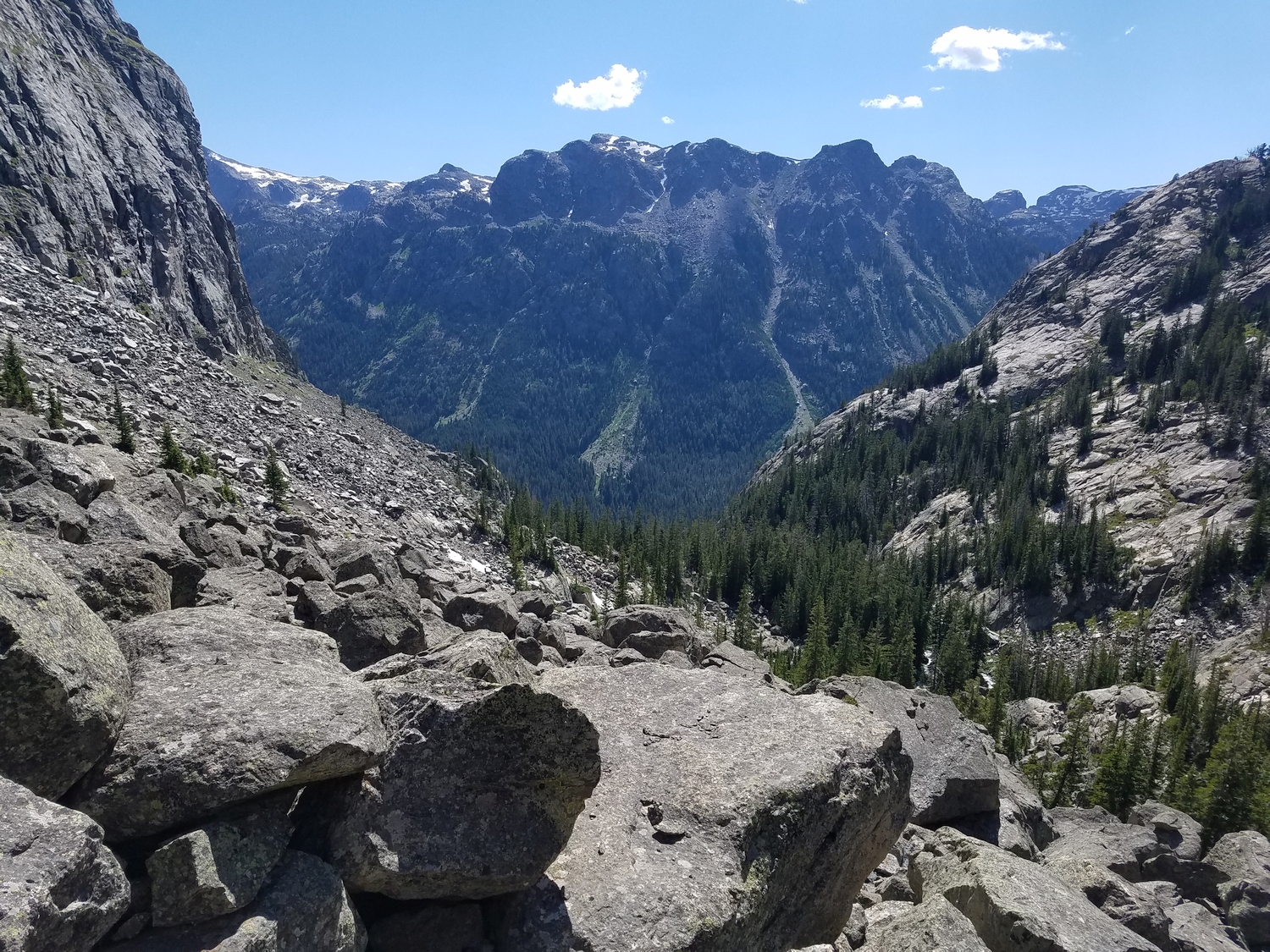
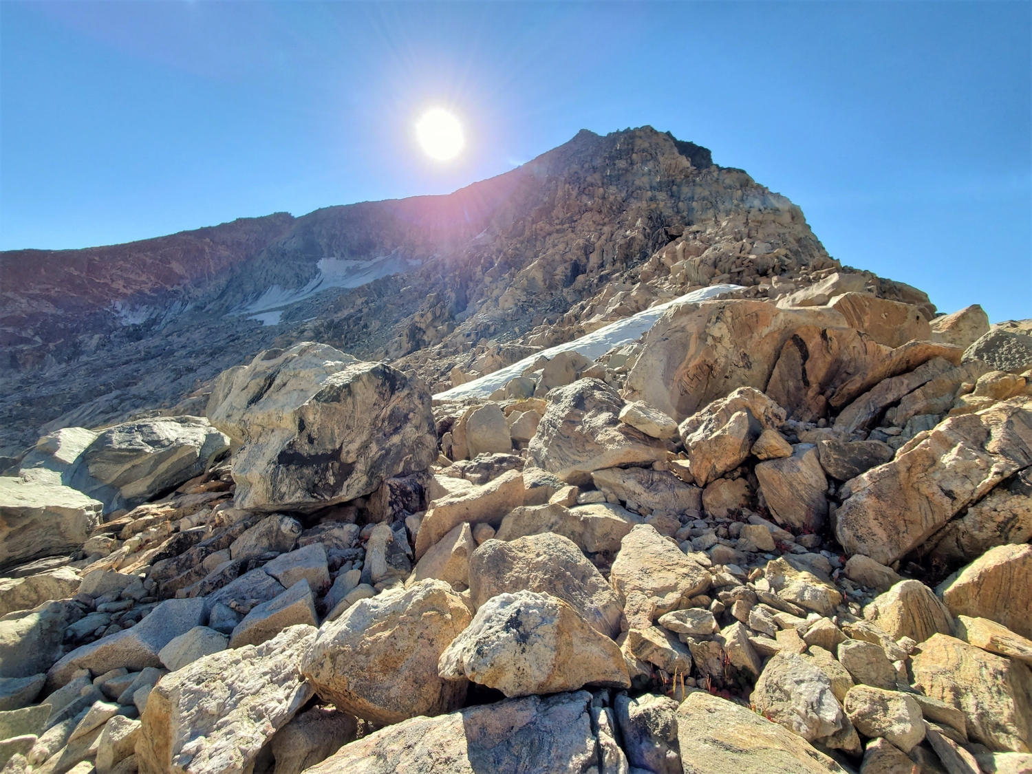
From Lake 11510, the climb is almost done before it truly begins. Hike a short distance to the northeast corner of the subsidiary valley between Mount Solitude and Desolation Peak. Ascend a few hundred feet of easy snow or rotten scree to reach Desolation’s northwest ridge near 12,500 ft.
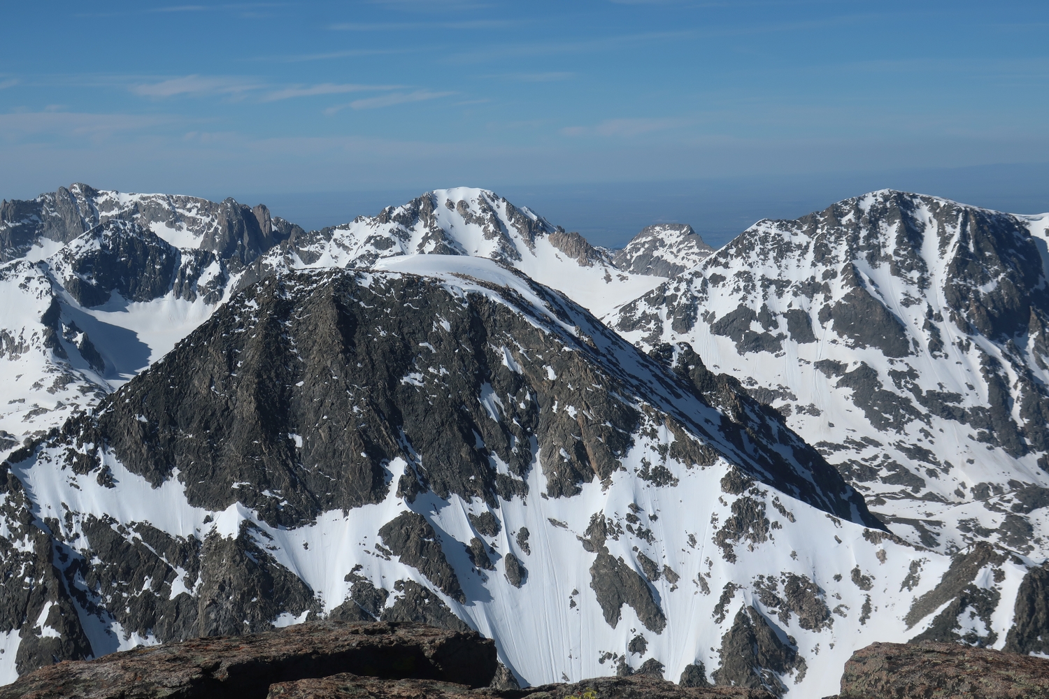
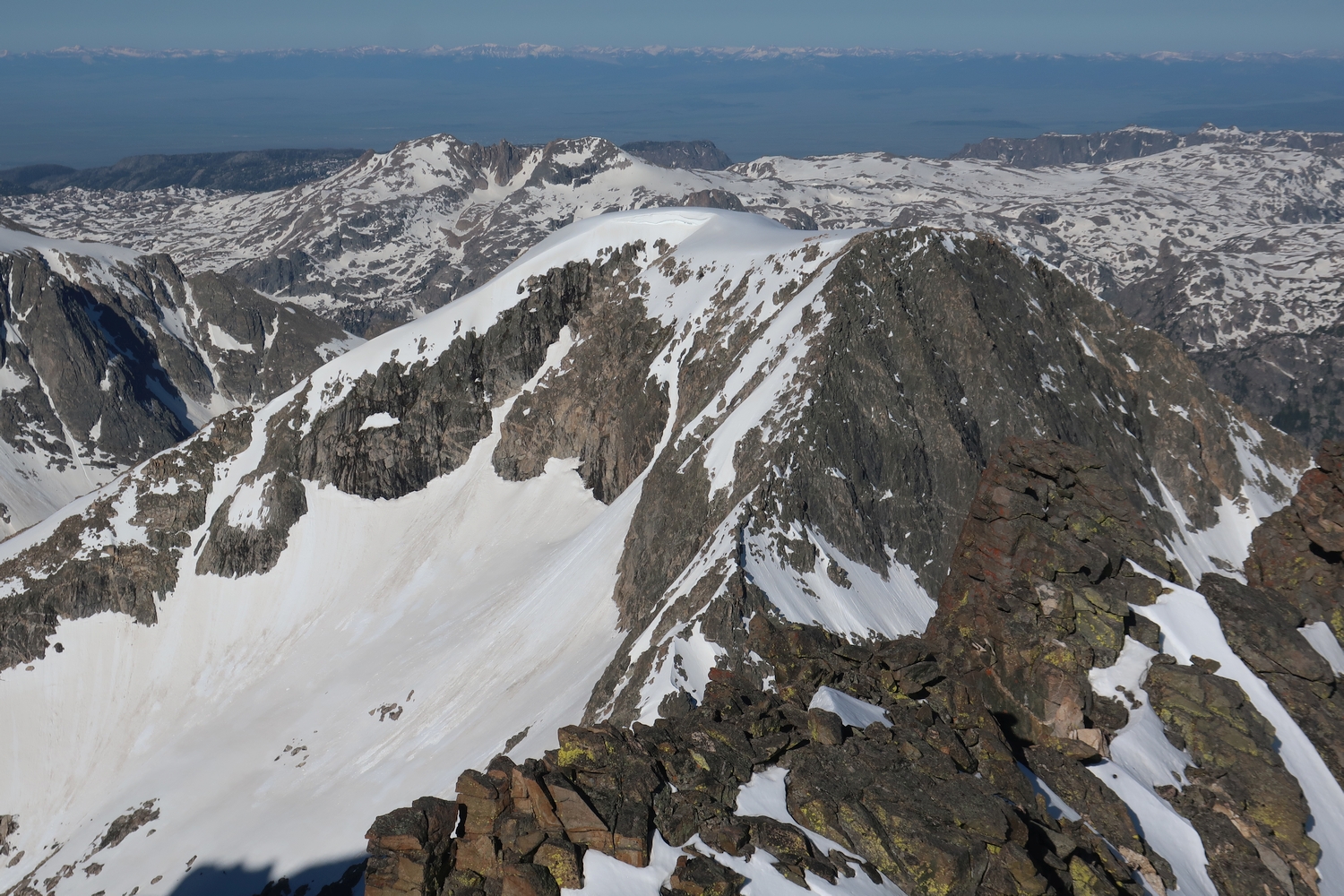
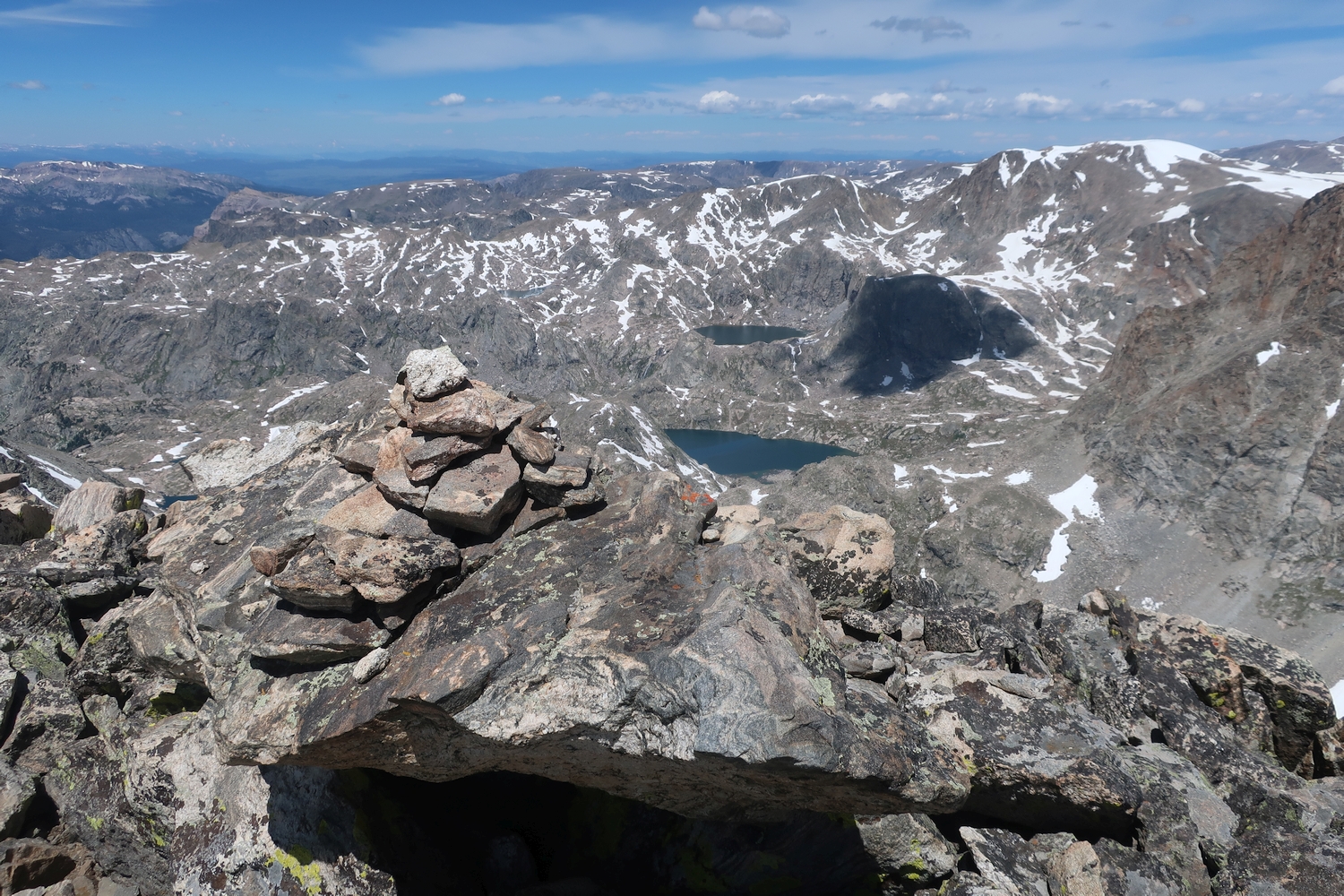
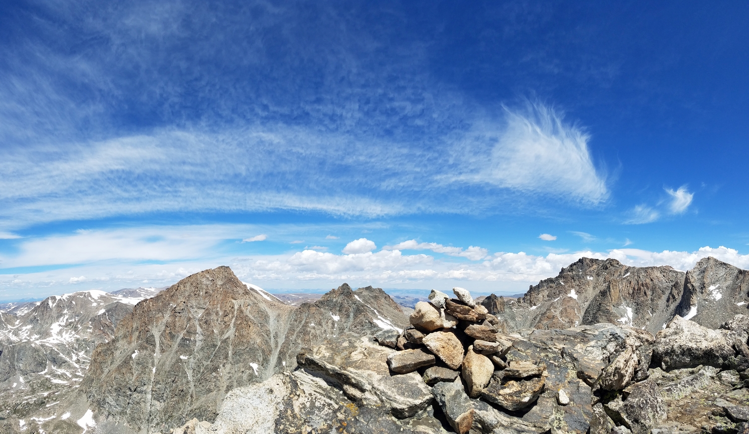
From here, the ridge ascent is straightforward and enjoyable; just scramble up the class 3 blocks to the summit plateau. The highest point has a cairn which can be found near the middle of the north edge of the flat summit area.
Route 2: East Ridge – Class 4
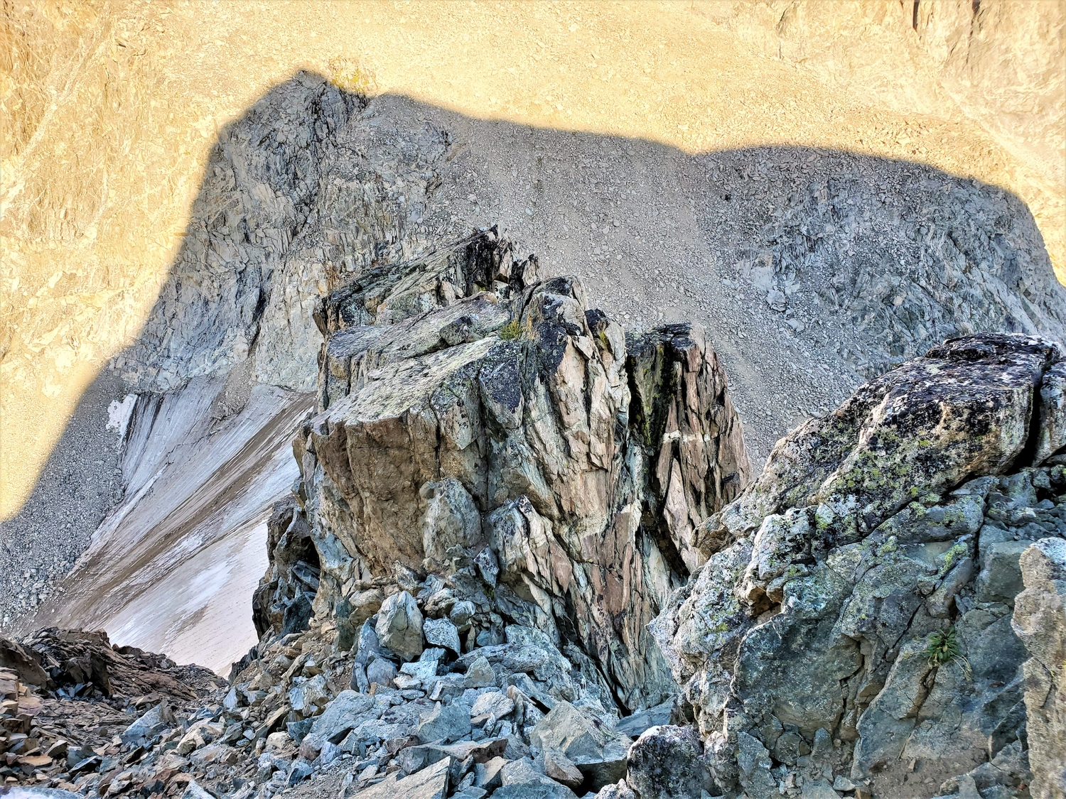
This route is particularly useful for those who wish to combine Desolation with Bastion and other 13ers on the Continental Divide. However, it is a fine route in its own respect, and worth climbing despite the out-of-the-way position. Descend Bastion’s west ramp route (Route 4) to the Rampart-Desolation col, or reach the col from the valleys on either side.
Begin up the well-defined ridge on blocky terrain. Several near-vertical sections present the route’s technical cruxes, but the rock is well-featured and it is possible to traverse climber’s left (south) around some of the hardest sections. Midway up the ridge, a rectangular gendarme is gained, requiring a short vertical downclimb to continue. The upper part of the ridge is superb semi-technical alpine climbing: a narrow, steep ridge with large, blocky holds and an airy position, with views of Gannett, Koven, and the other Divide 13ers opening up all around.