Francs Peak
Elevation: 13,153 ft.
Prominence: 4,056 ft.
Isolation: 48 miles
Technical Difficulty: Class 2


Francs Peak Guidebook
Introduction
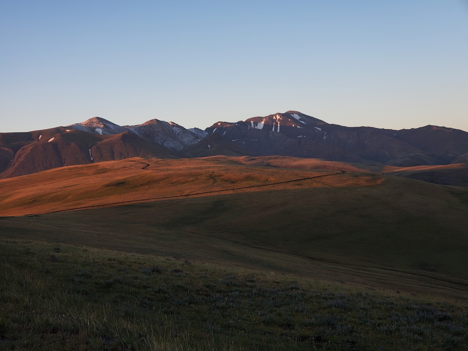
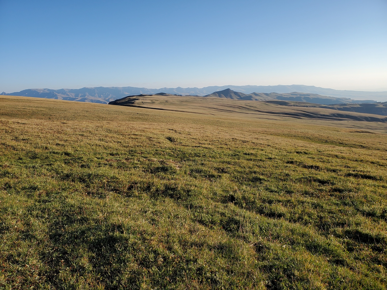
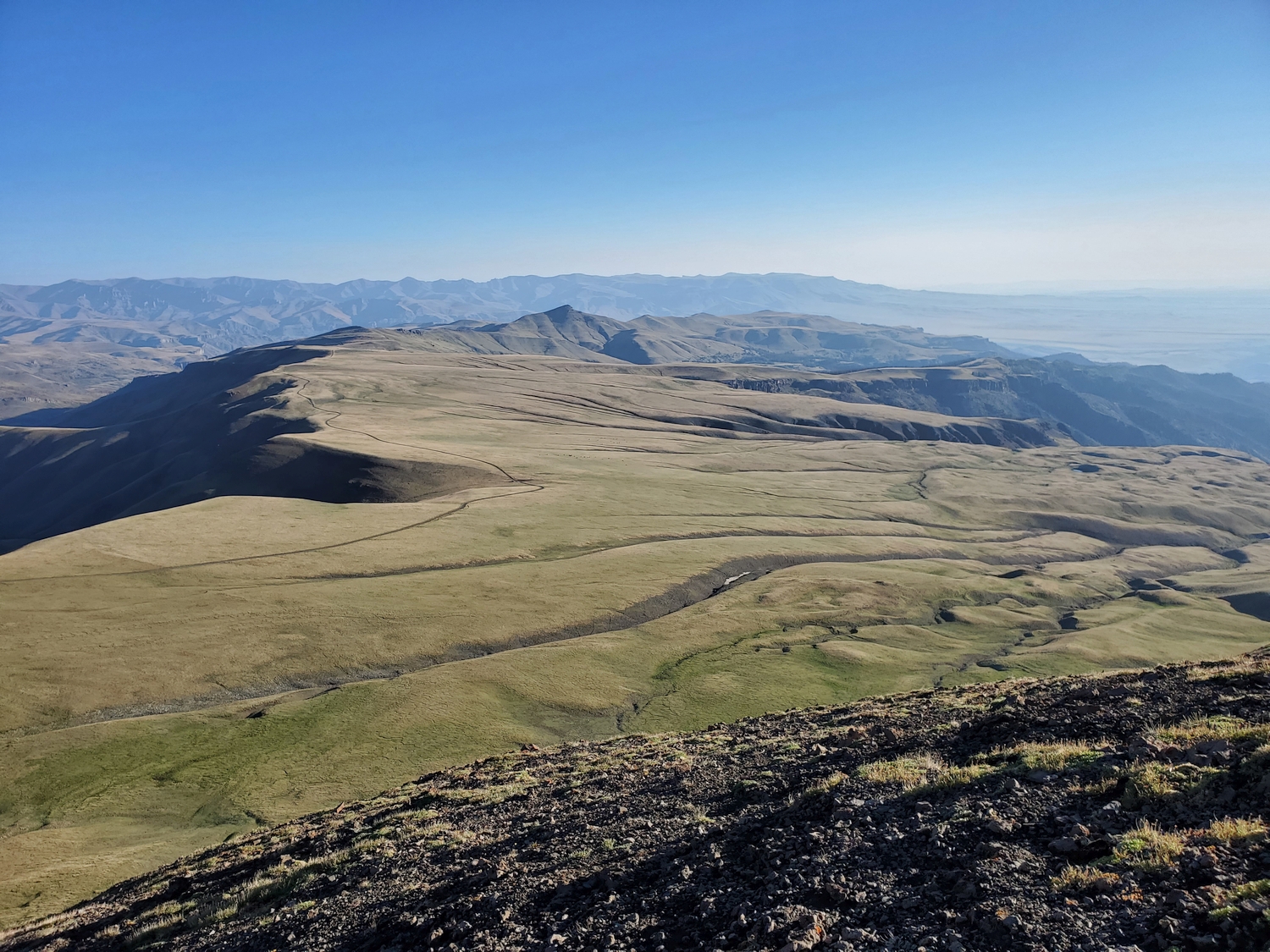
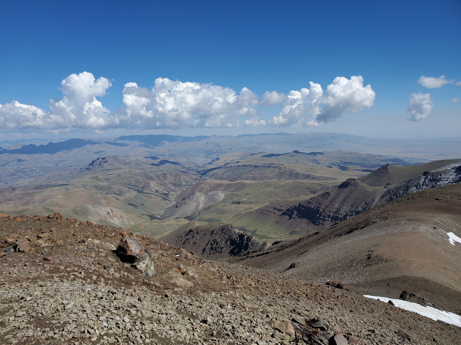
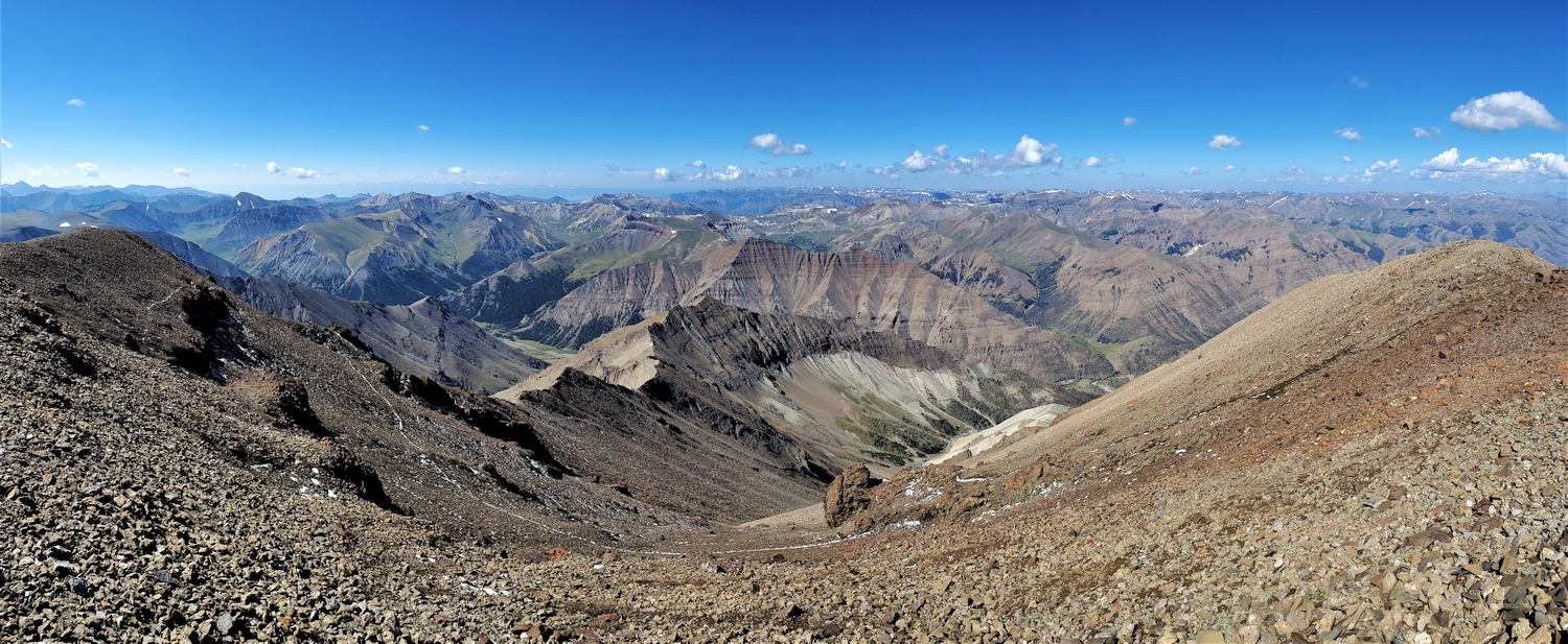
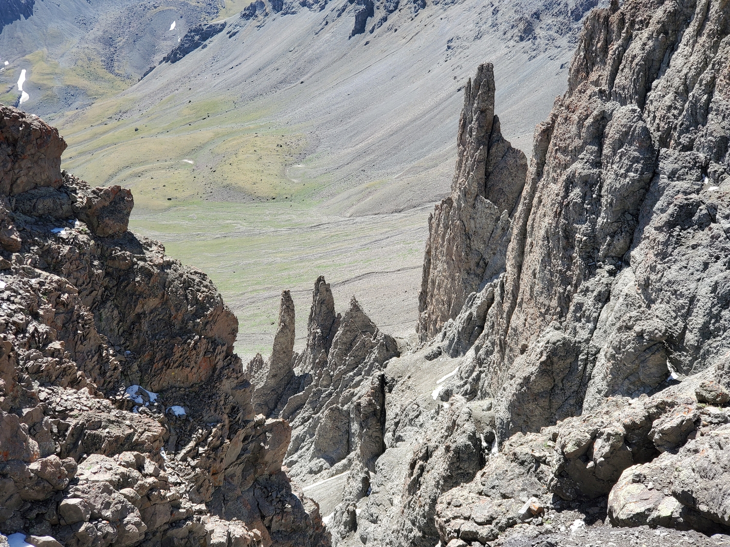
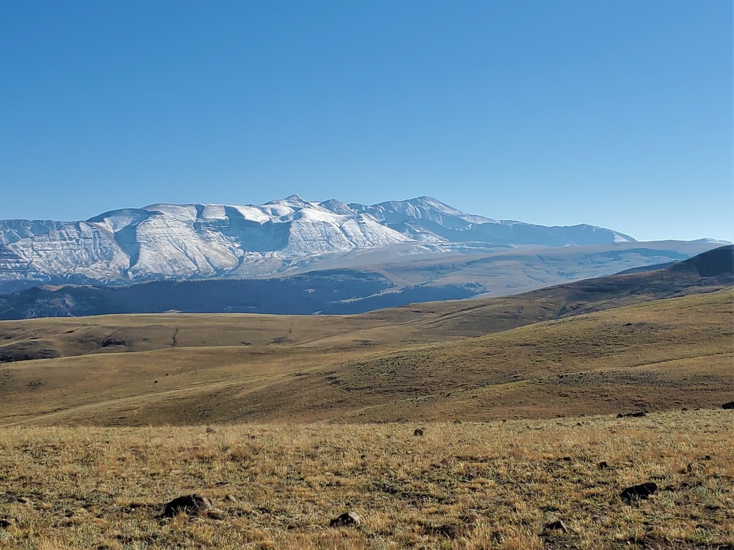
Francs Peak is the highpoint of the Absaroka Range, the heart of Rocky Mountain grizzly bear territory and part of the greater Yellowstone ecosystem. Unlike most of Wyoming’s alpine ranges, the Absarokas lack the alpine lakes, granite cirques, and lush valleys, offering vast rolling plateaus and volcanic spires instead. Almost all peak-climbing activity in the Absaroka Range is concentrated on Francs Peak, which is indicative of the fact that most hikers only go to the Absarokas to check off this peak. Luckily, Francs represents the range well, with plenty of geological features characteristic of the breccia and ash fields deposited by the Yellowstone supervolcano, and plenty of grizzly bears roaming its flanks.
General Considerations
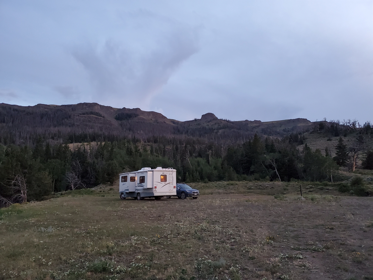
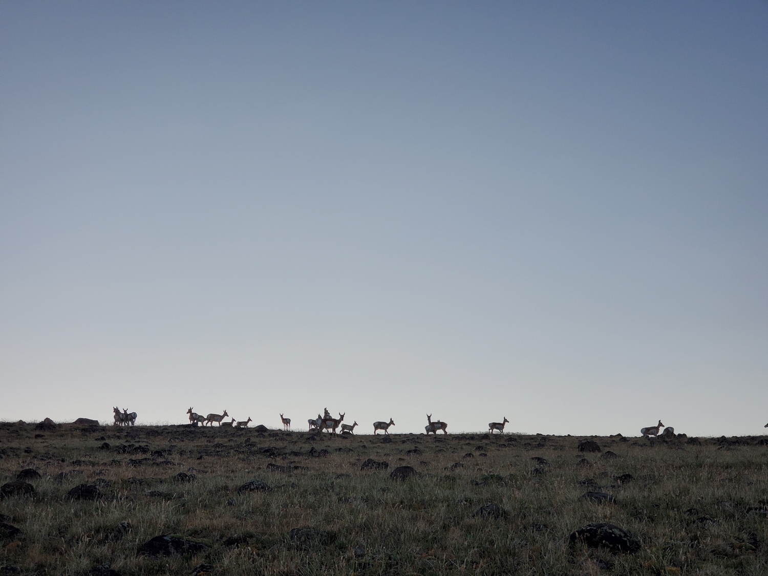
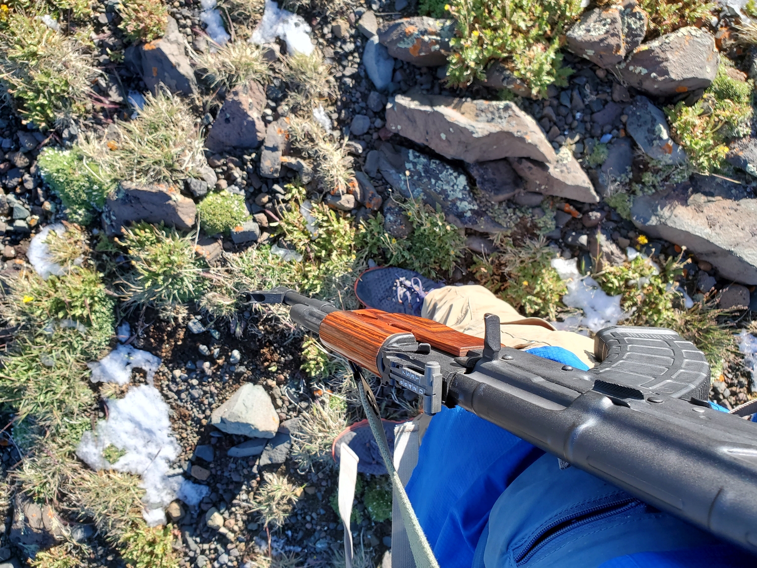
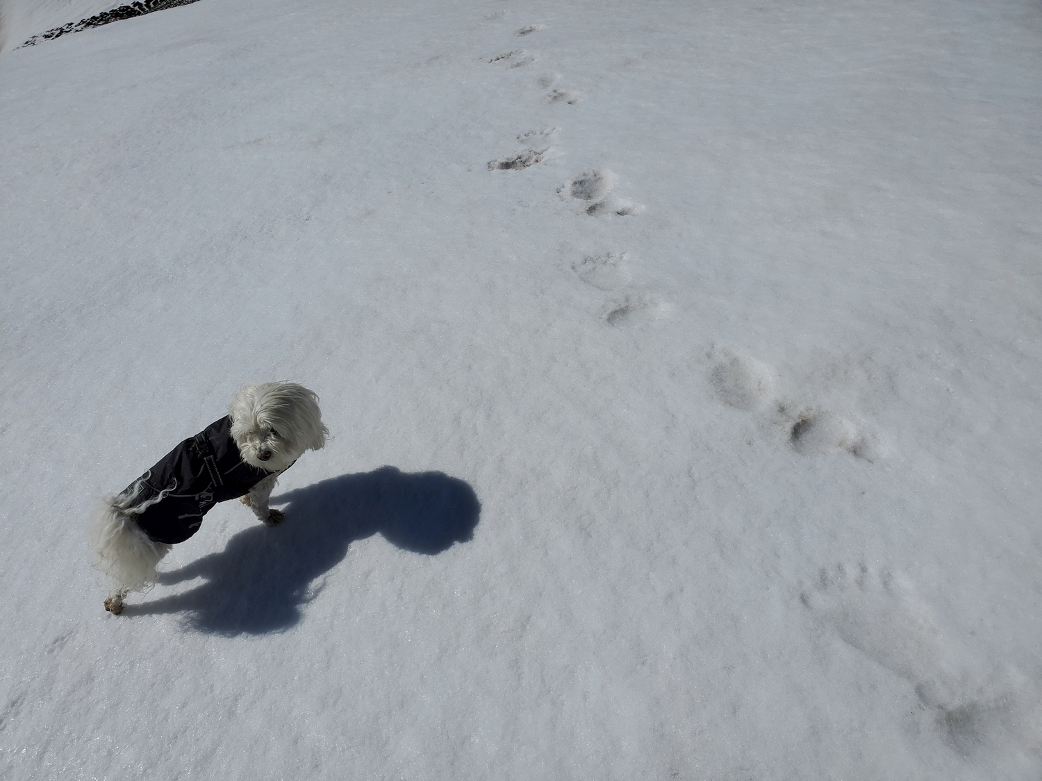
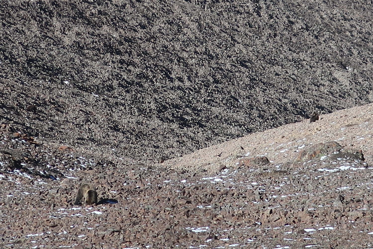
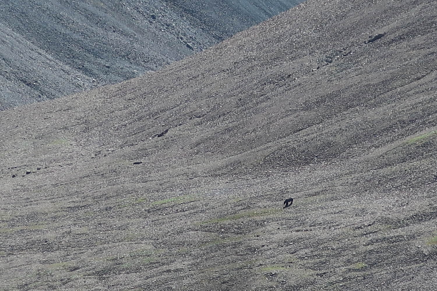
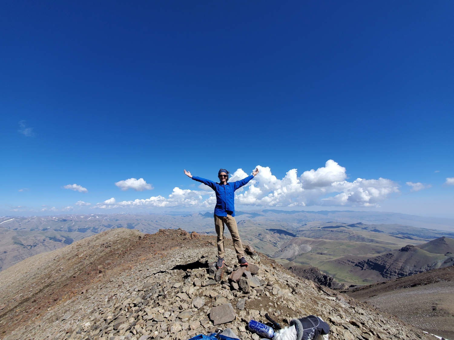
The grizzly bears are by far the greatest objective hazard on Francs Peak. Almost everyone who climbs the peak sees bears near the summit, and bears use the same trails as hikers. A hiker was mauled on Francs Peak and airlifted out of the area while attempting to climb the mountain in 2022. Bear spray and/or firearms should be carried in such a way as to be rapidly available when traveling in the Absarokas. Francs Peak happens to be the easiest of the Wyoming 13ers and is almost always climbed as a day-hike, which is good, since backpacking in an area with such a high density of grizzlies is not recommended.
Route 1: North Ridge – Class 2
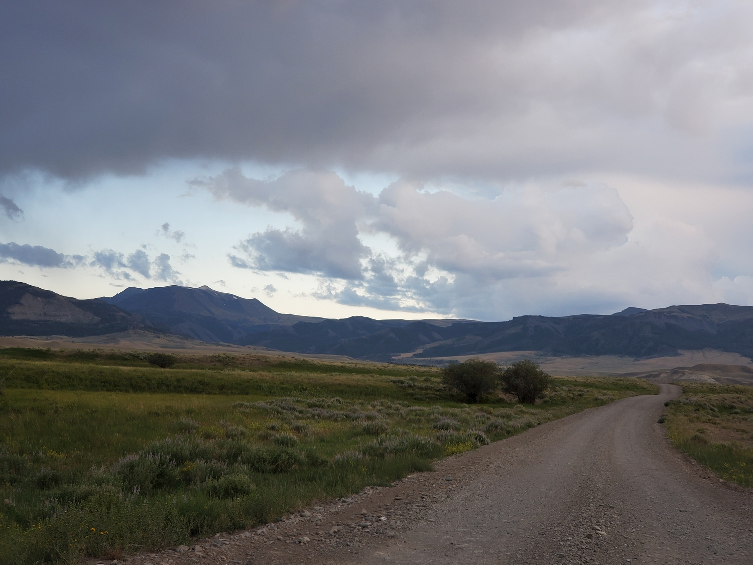
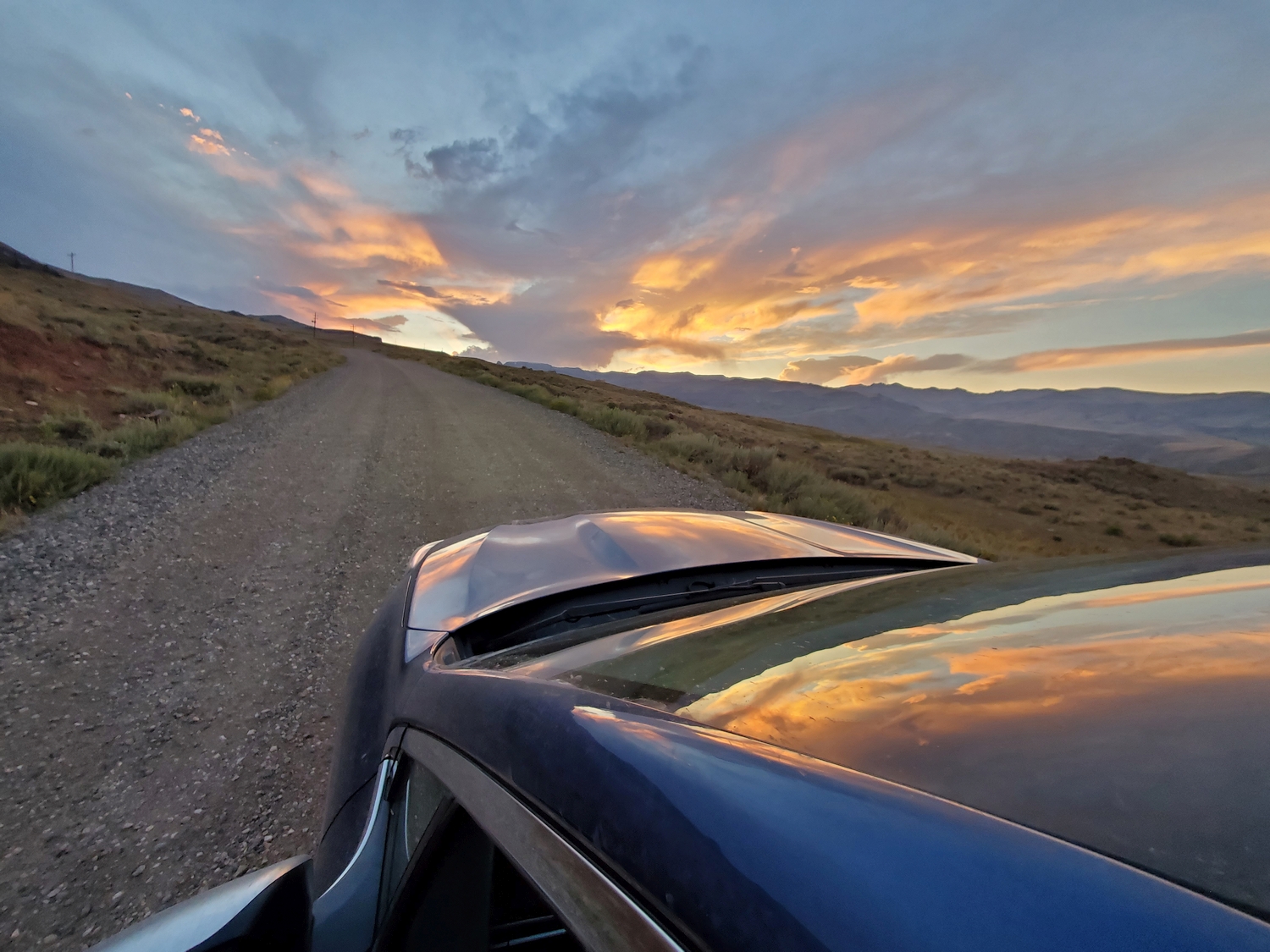
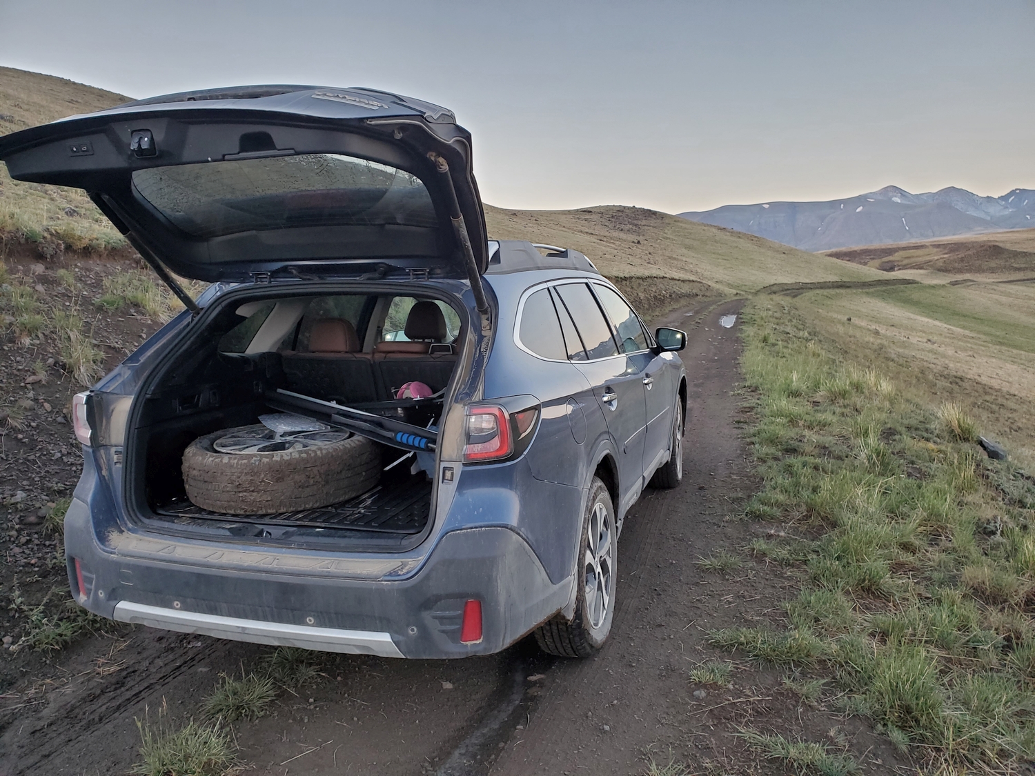
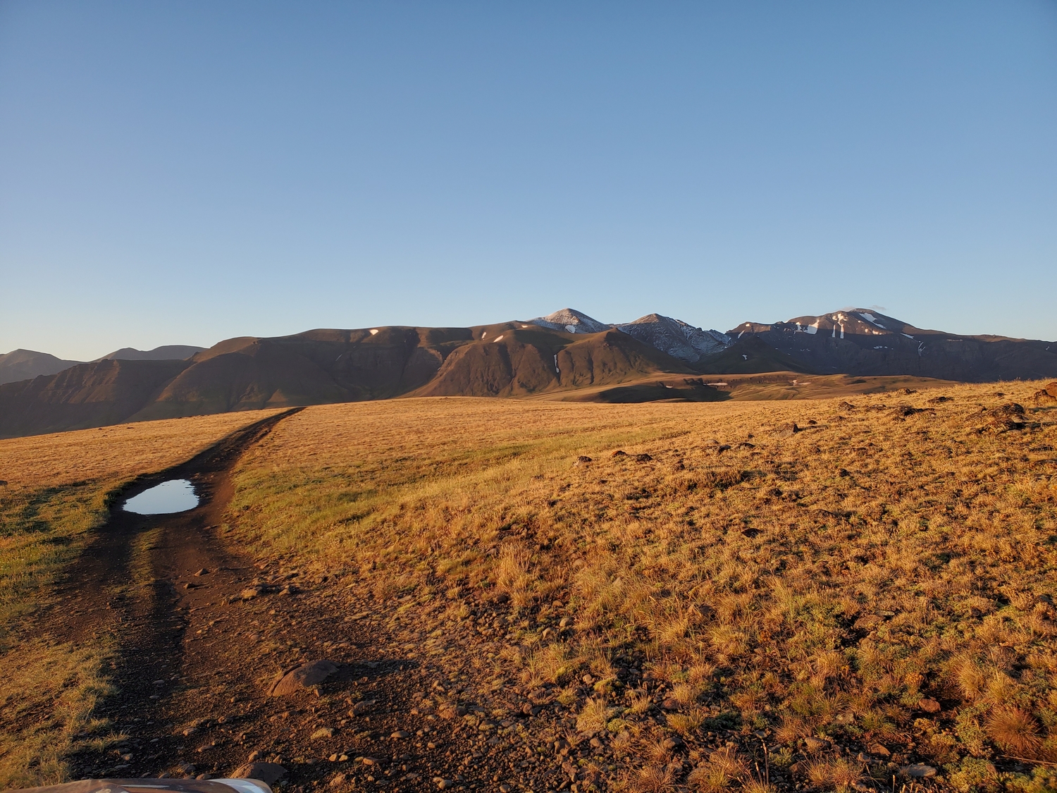
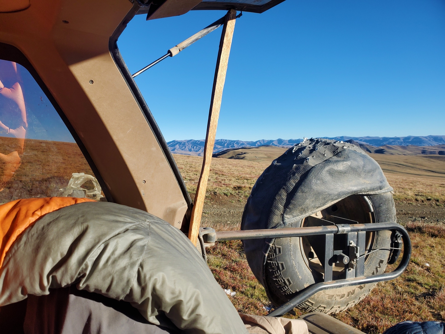
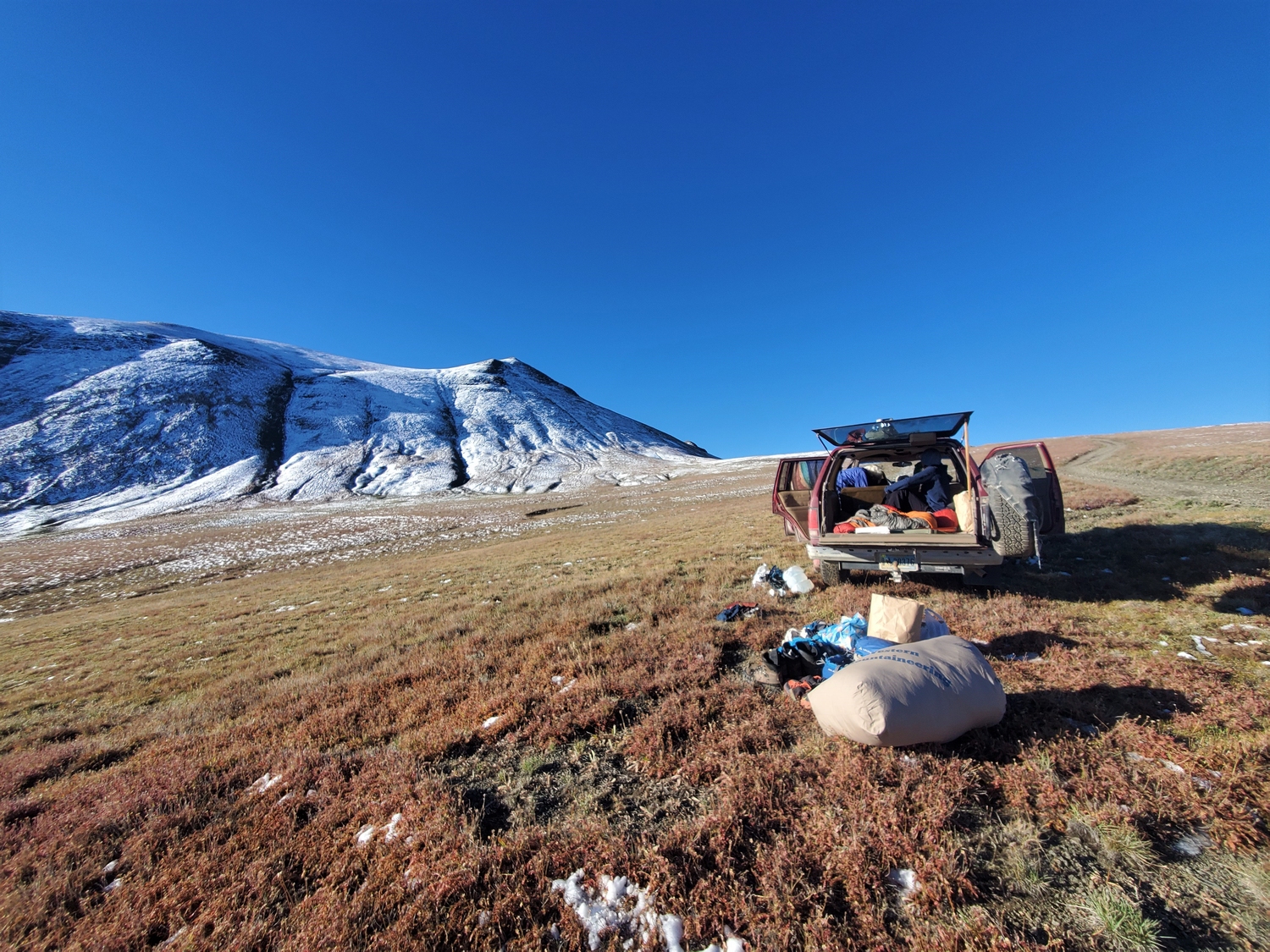
The most difficult part of this route is driving up the road! From the town of Meeteetse, endless dirt roads wind through the Pitchfork Ranch, a giant cattle operation which was established by Otto Franc, an early Wyoming cattle baron for whom the peak is named. The Phelps Mountain Road begins on State land near some oil wells, where there is a parking/staging area.
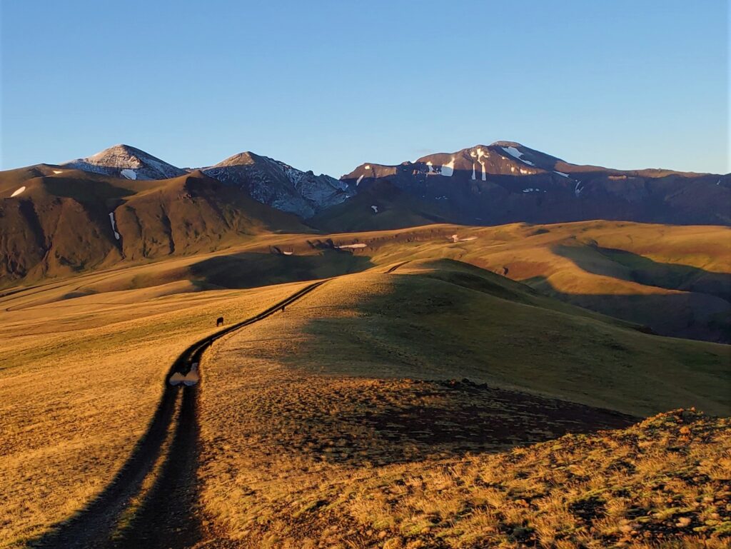
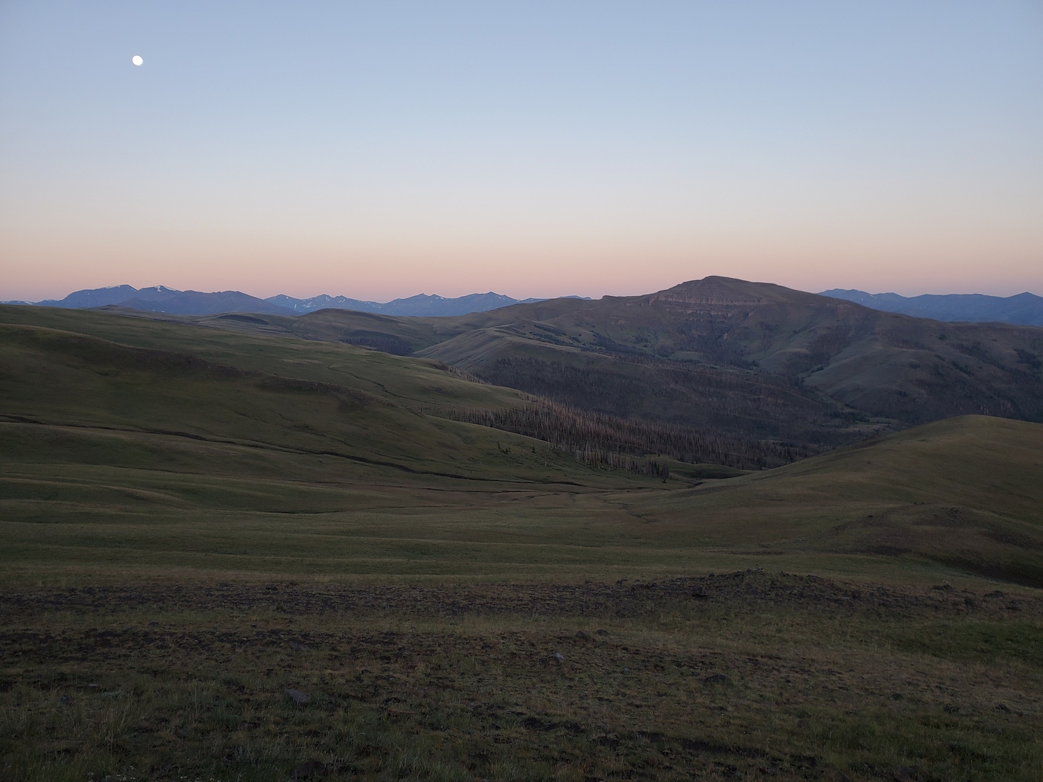
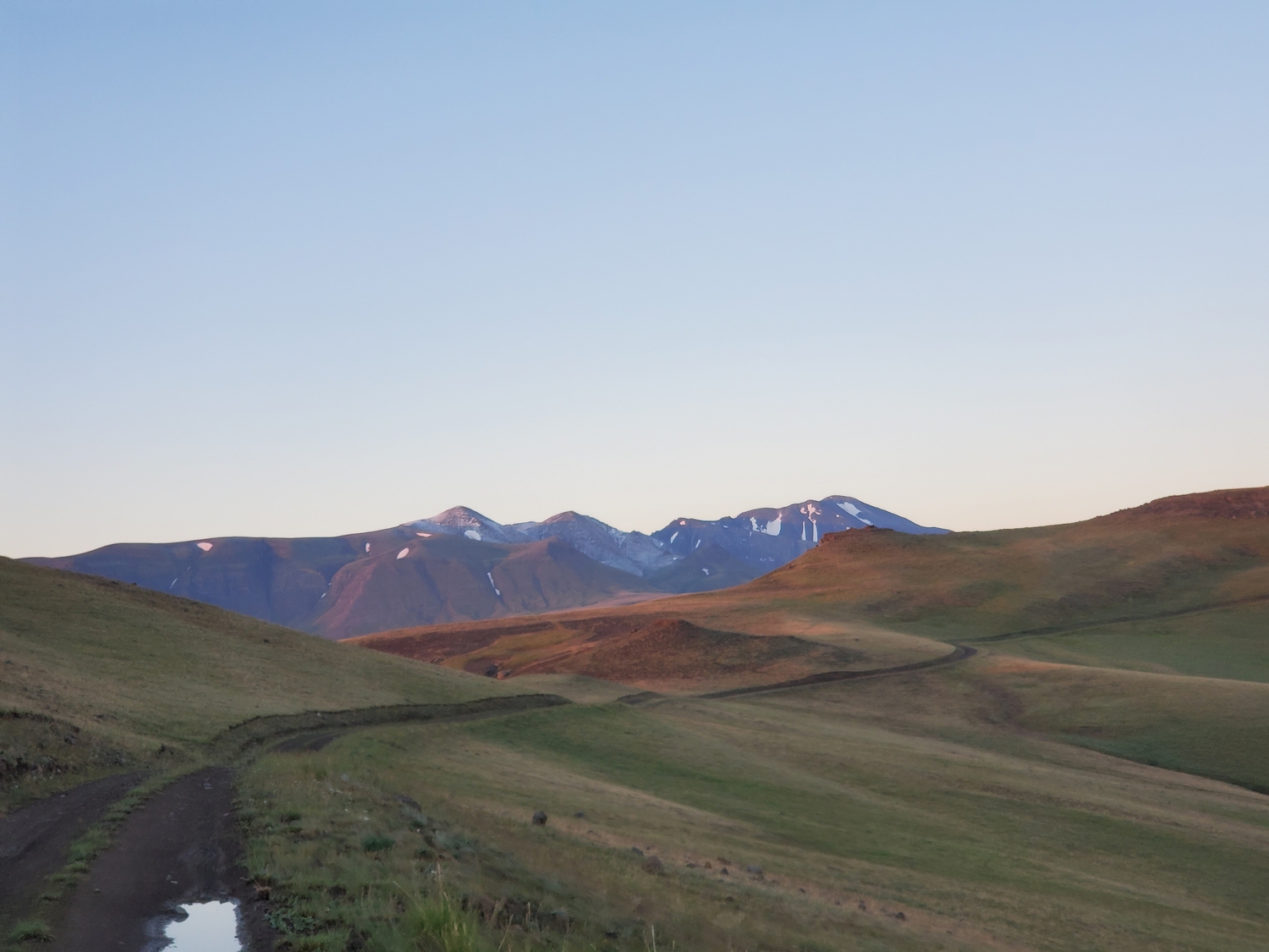
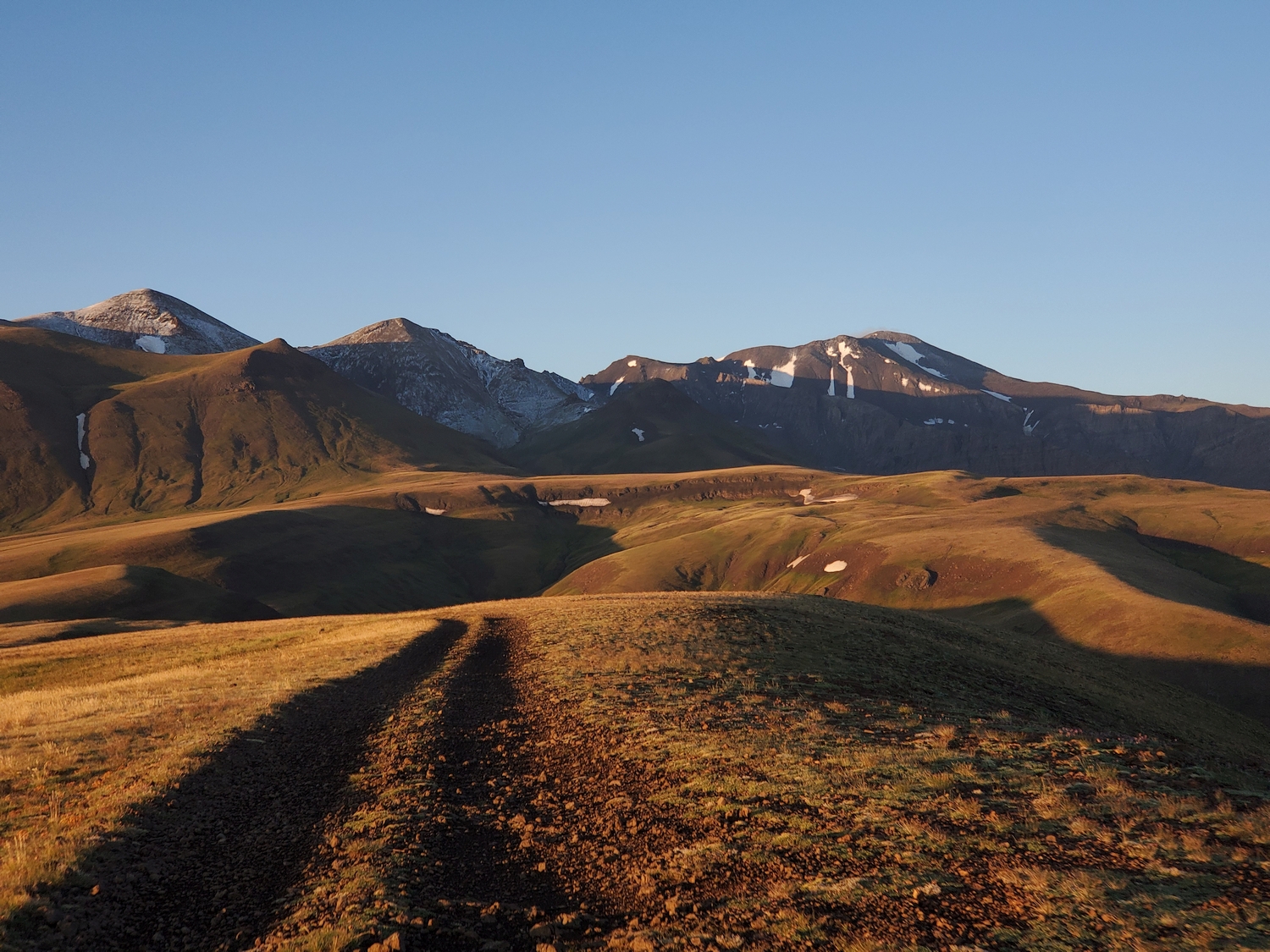
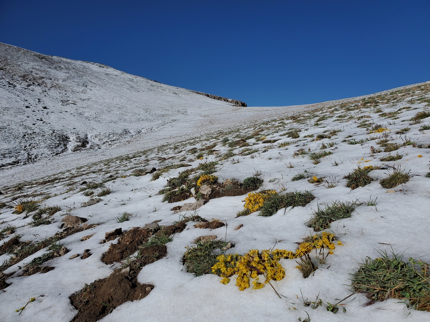
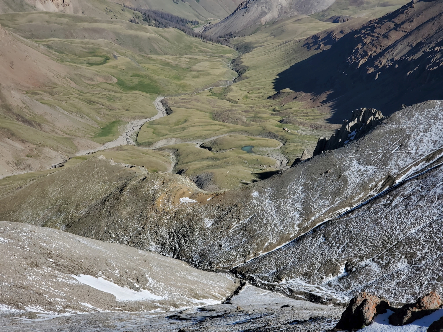
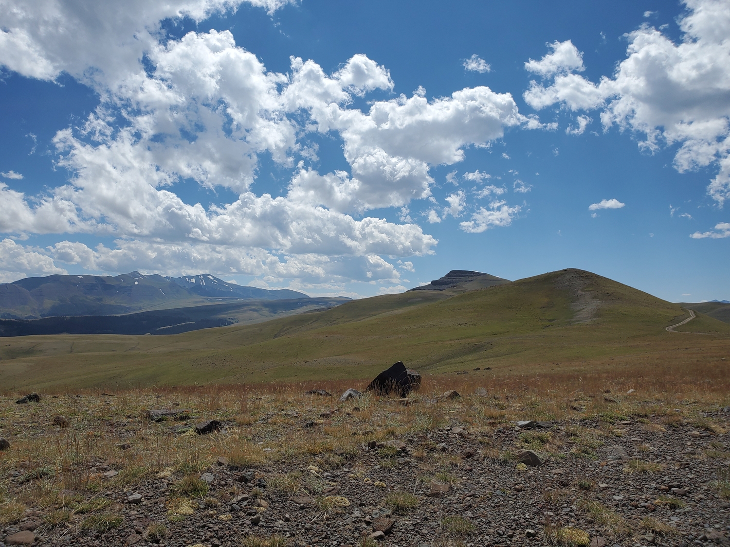
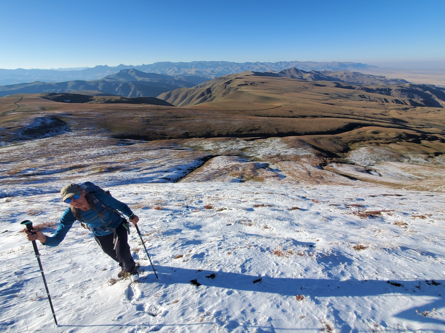
From here, the 4wd road immediately climbs up steep and rocky switchbacks to the plateau of Phelps Mountain, where it winds across grassy meadows for several miles above treeline. The makes a bend and effectively ends around 11,000 ft., which marks the de facto trailhead.
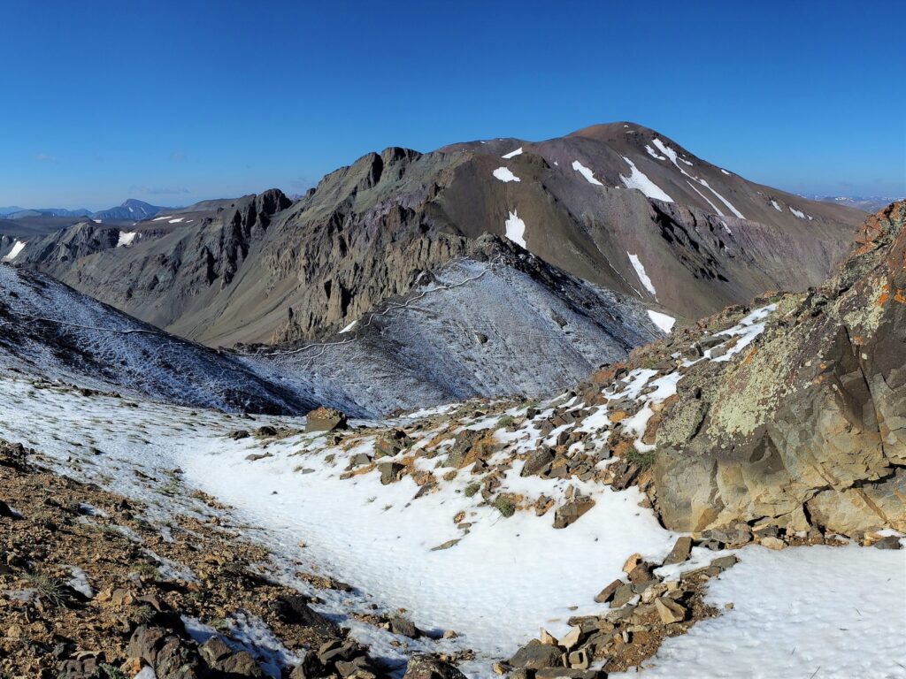
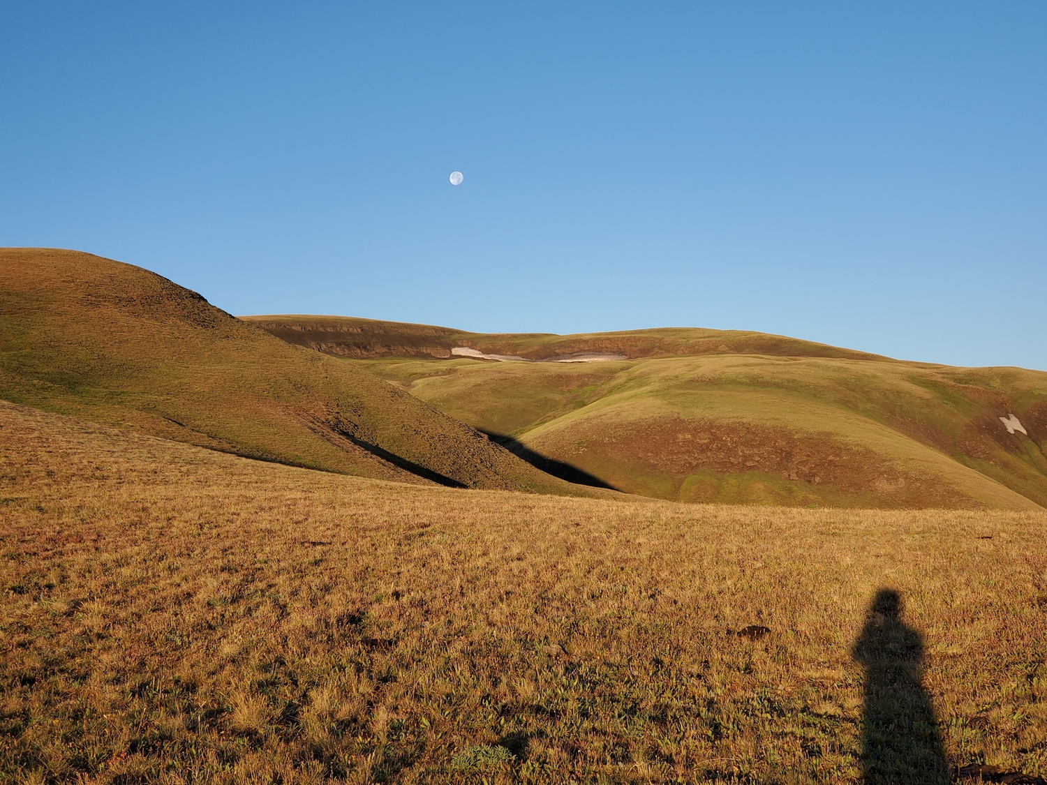
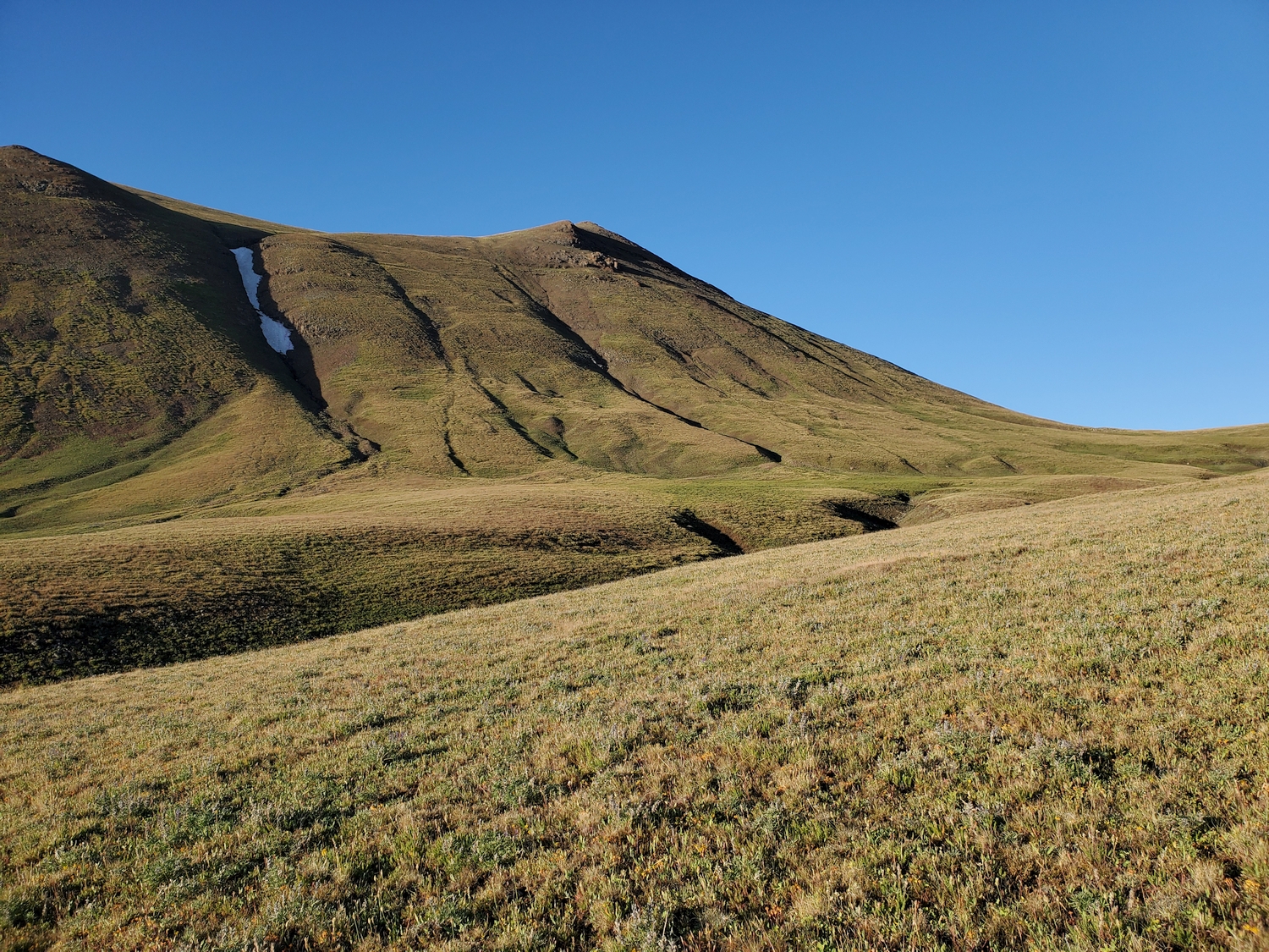
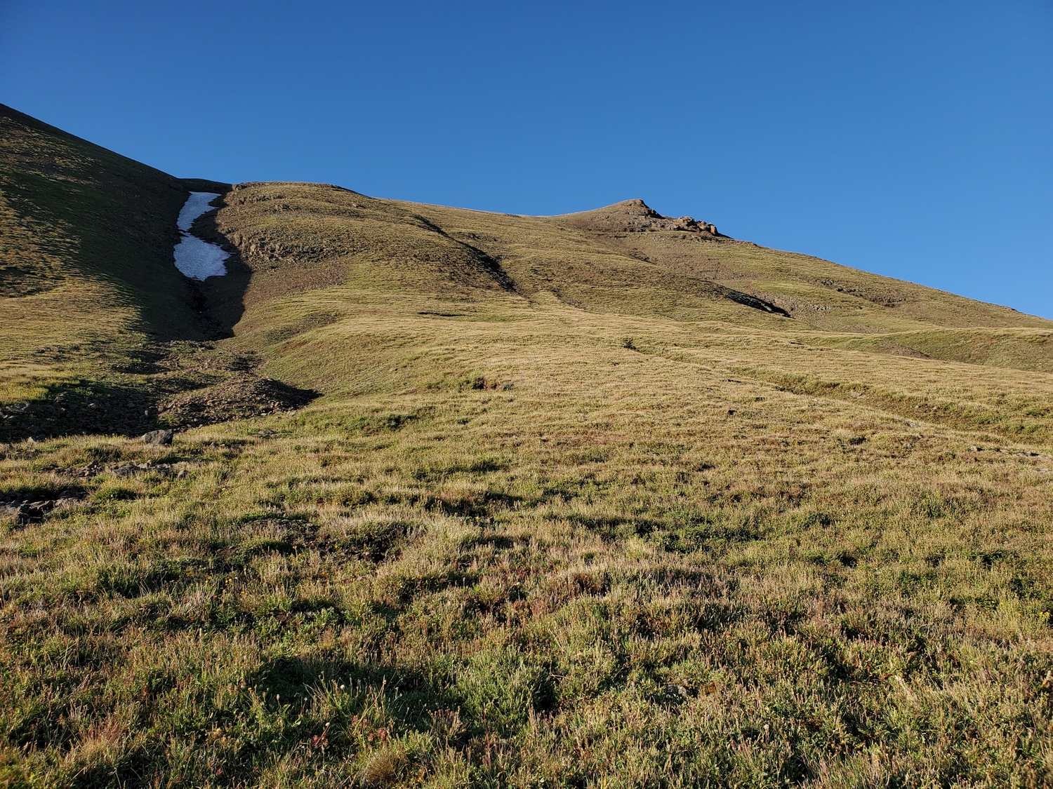
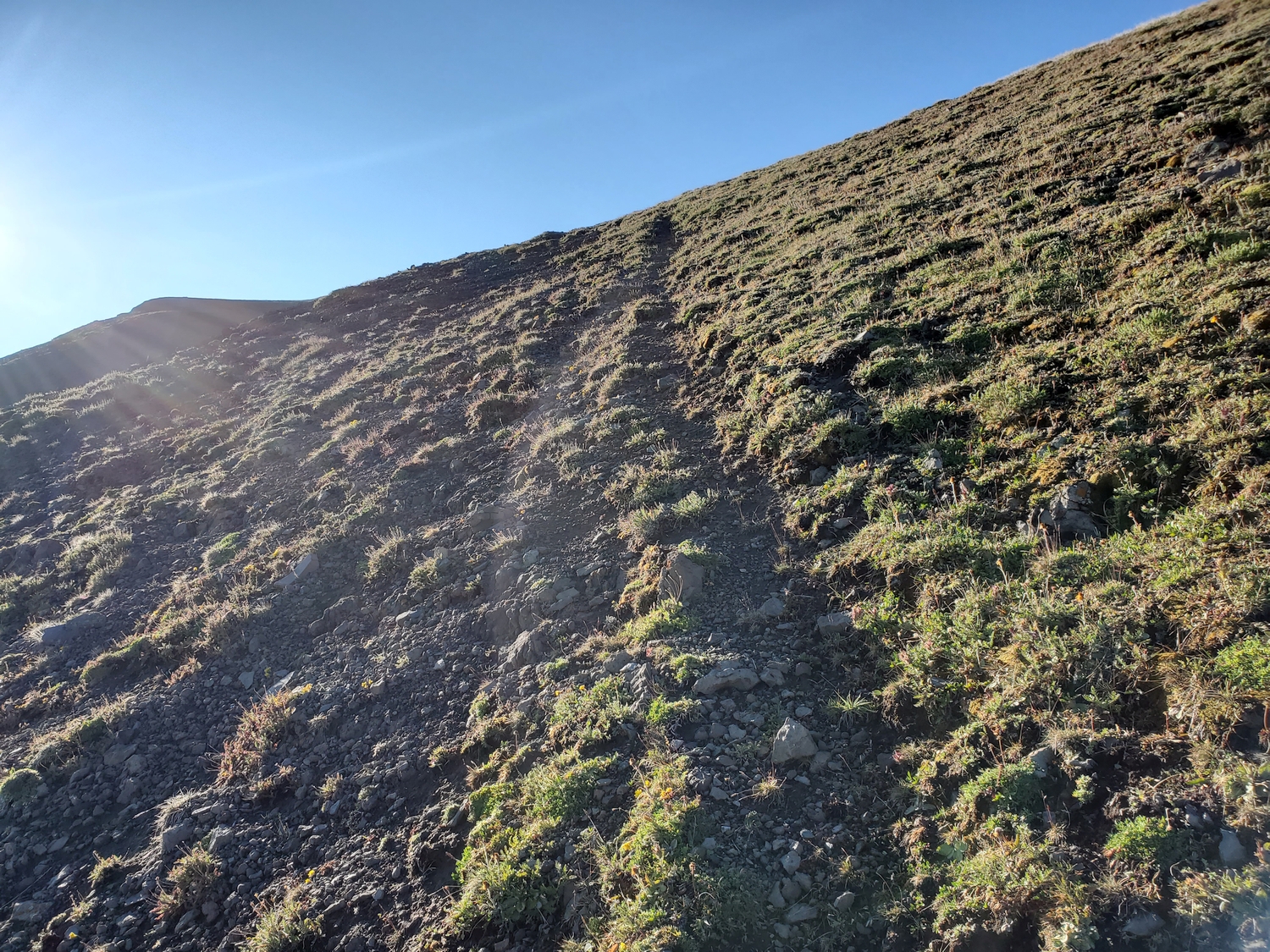
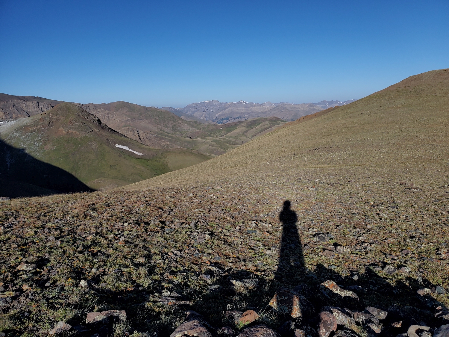
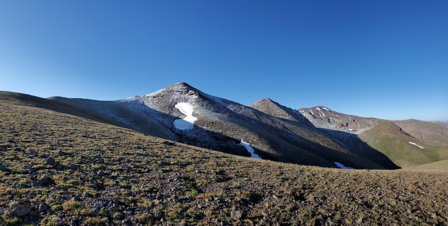
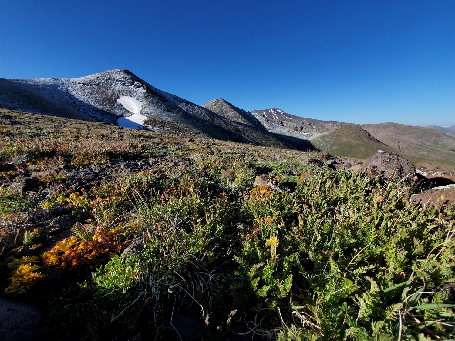
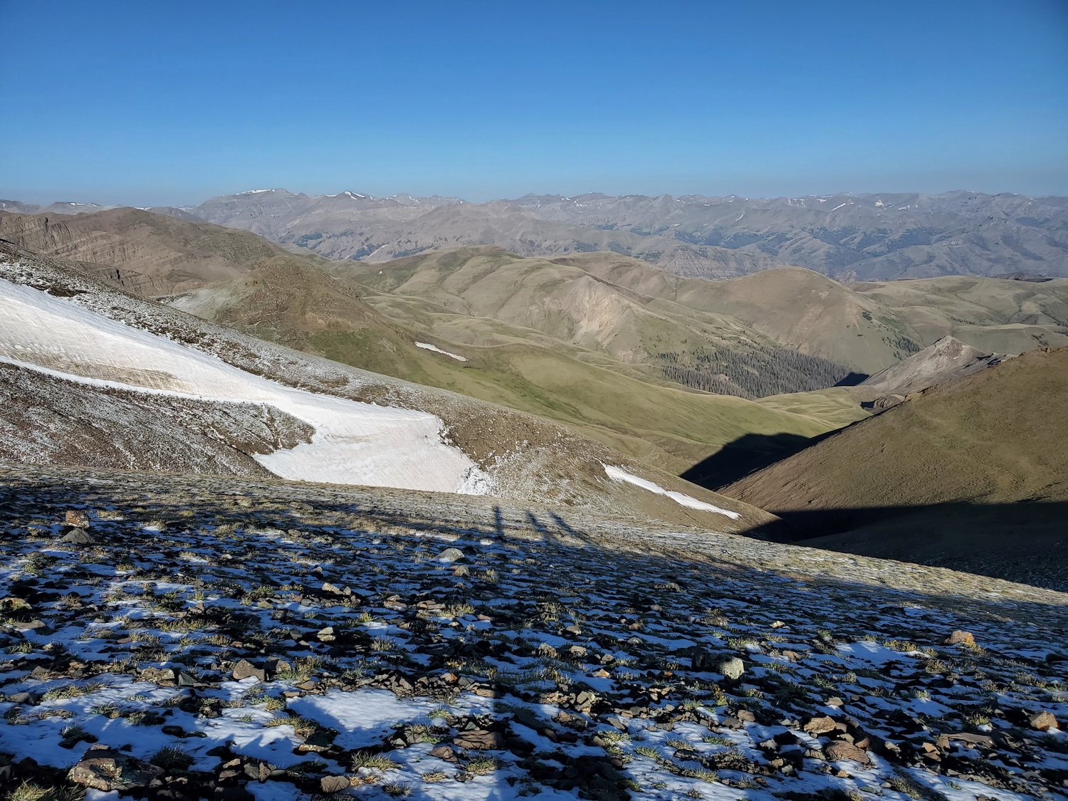
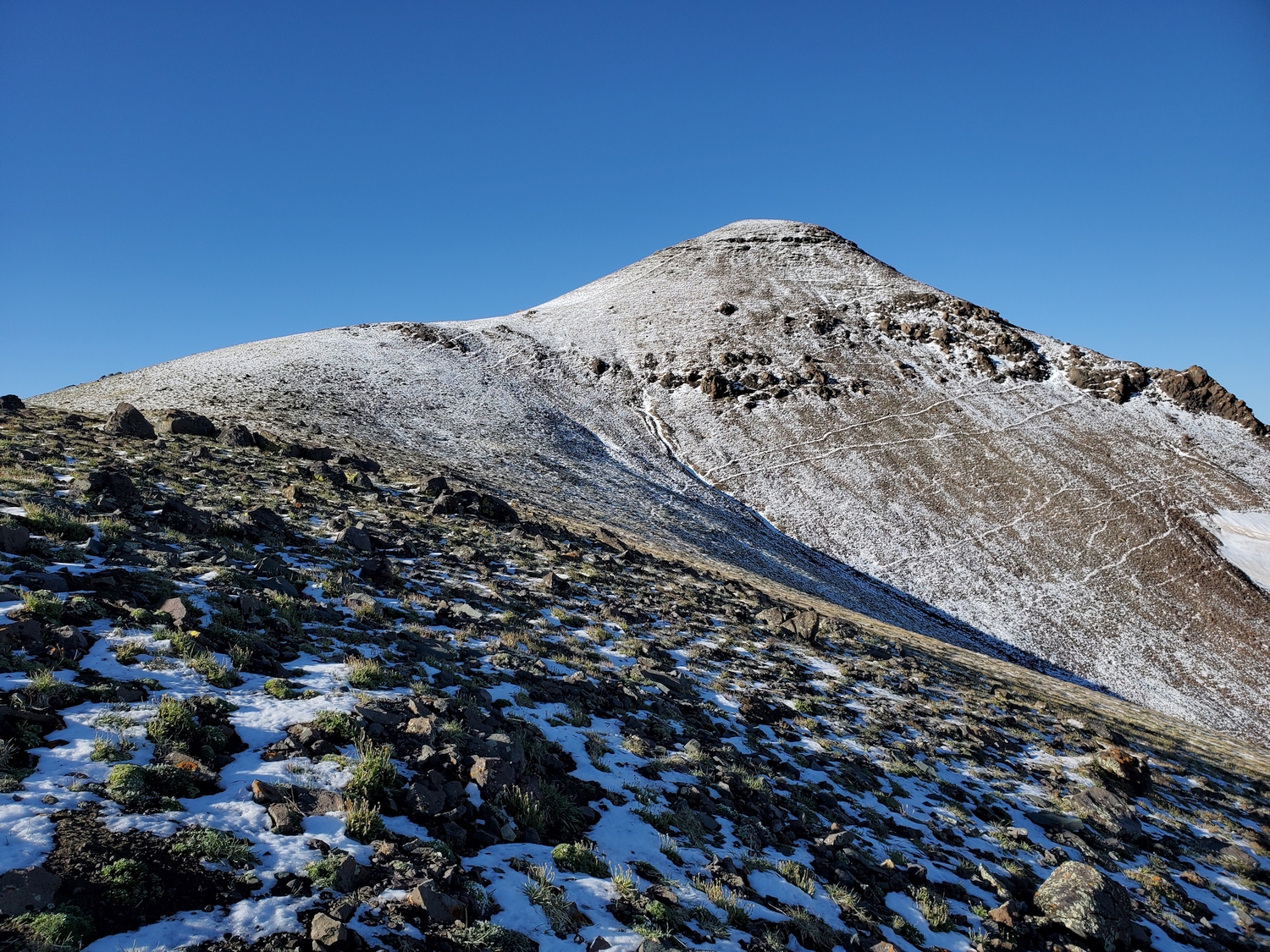
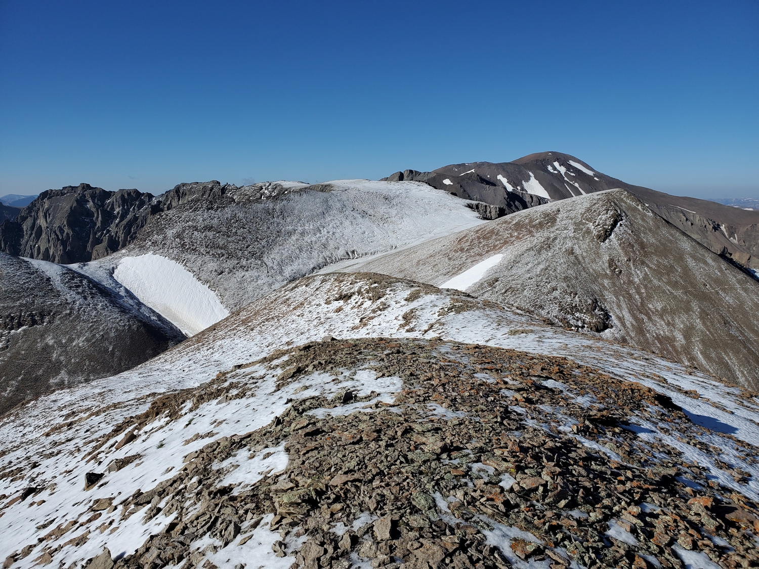
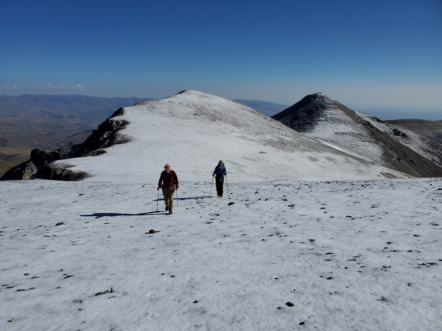
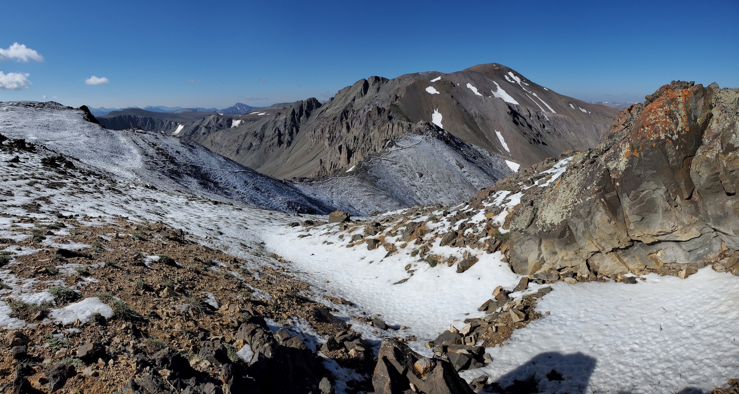
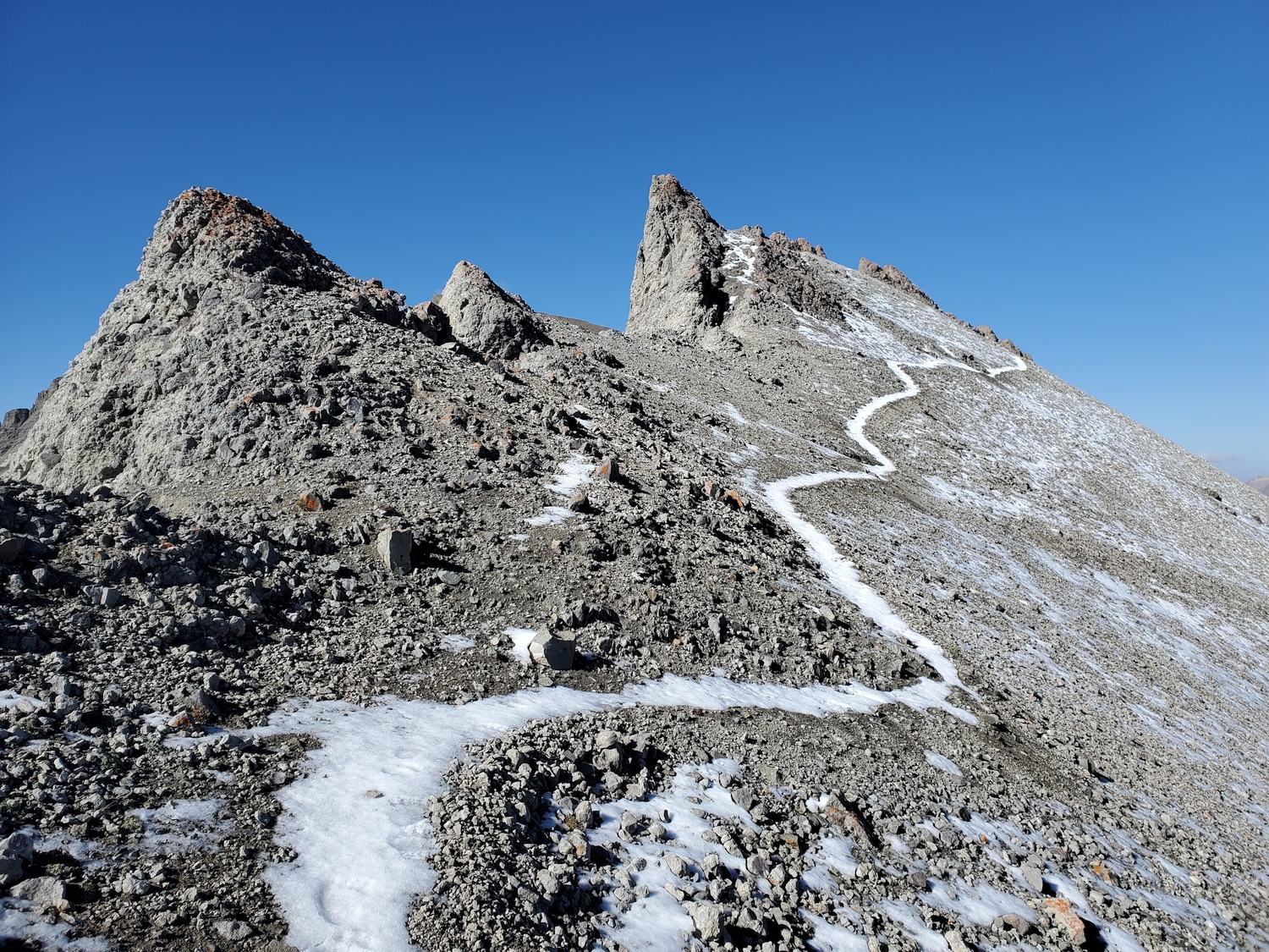
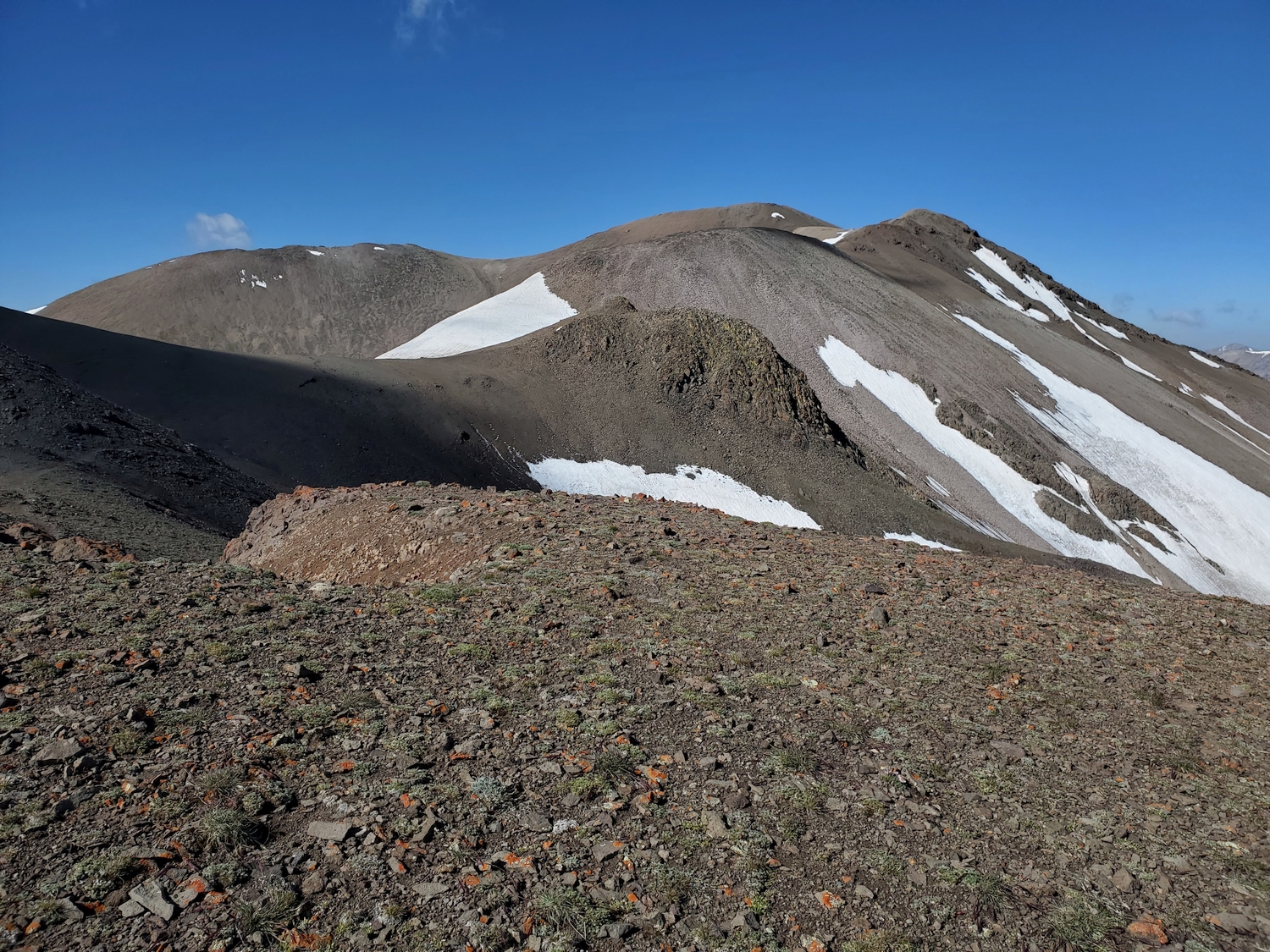
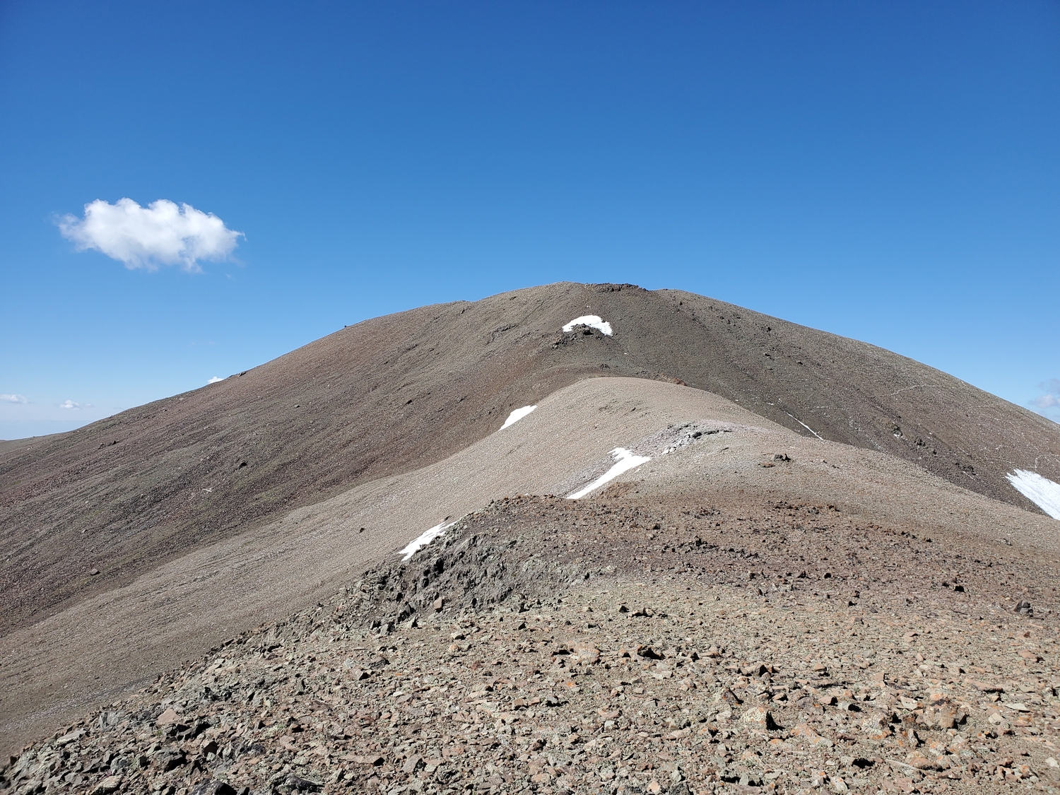
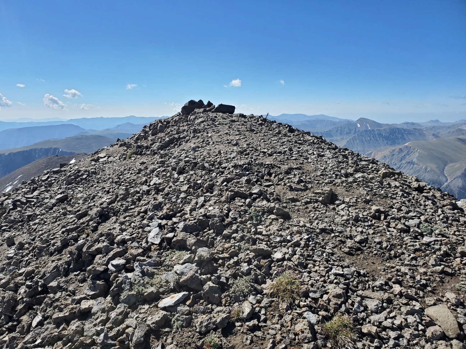
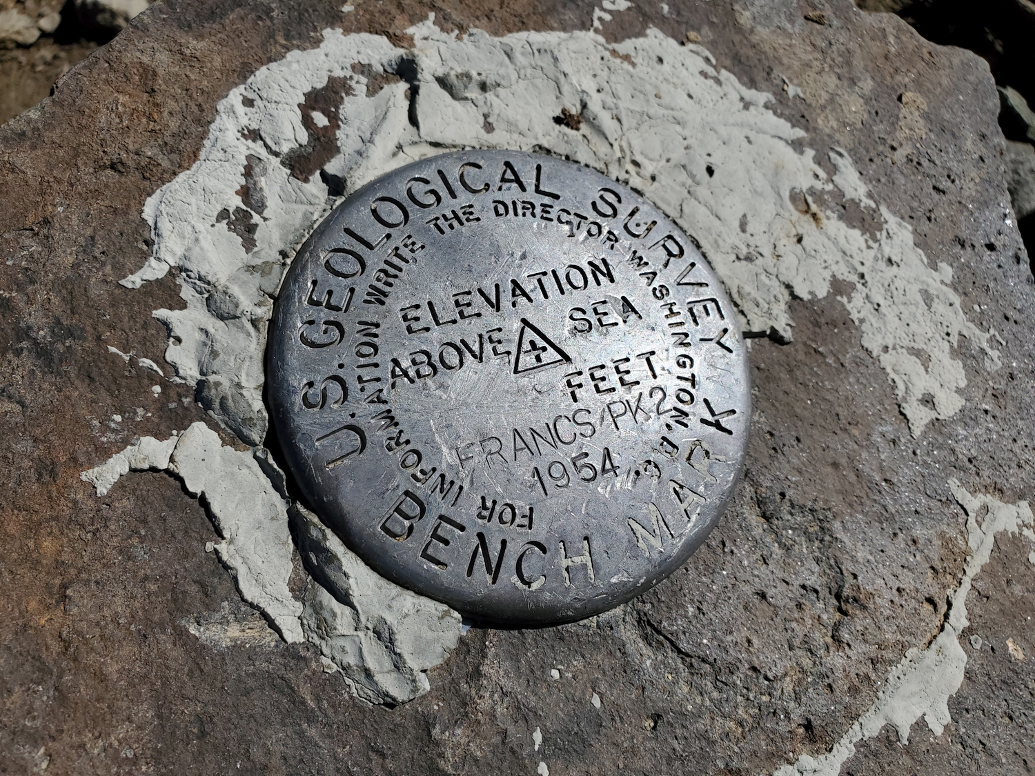
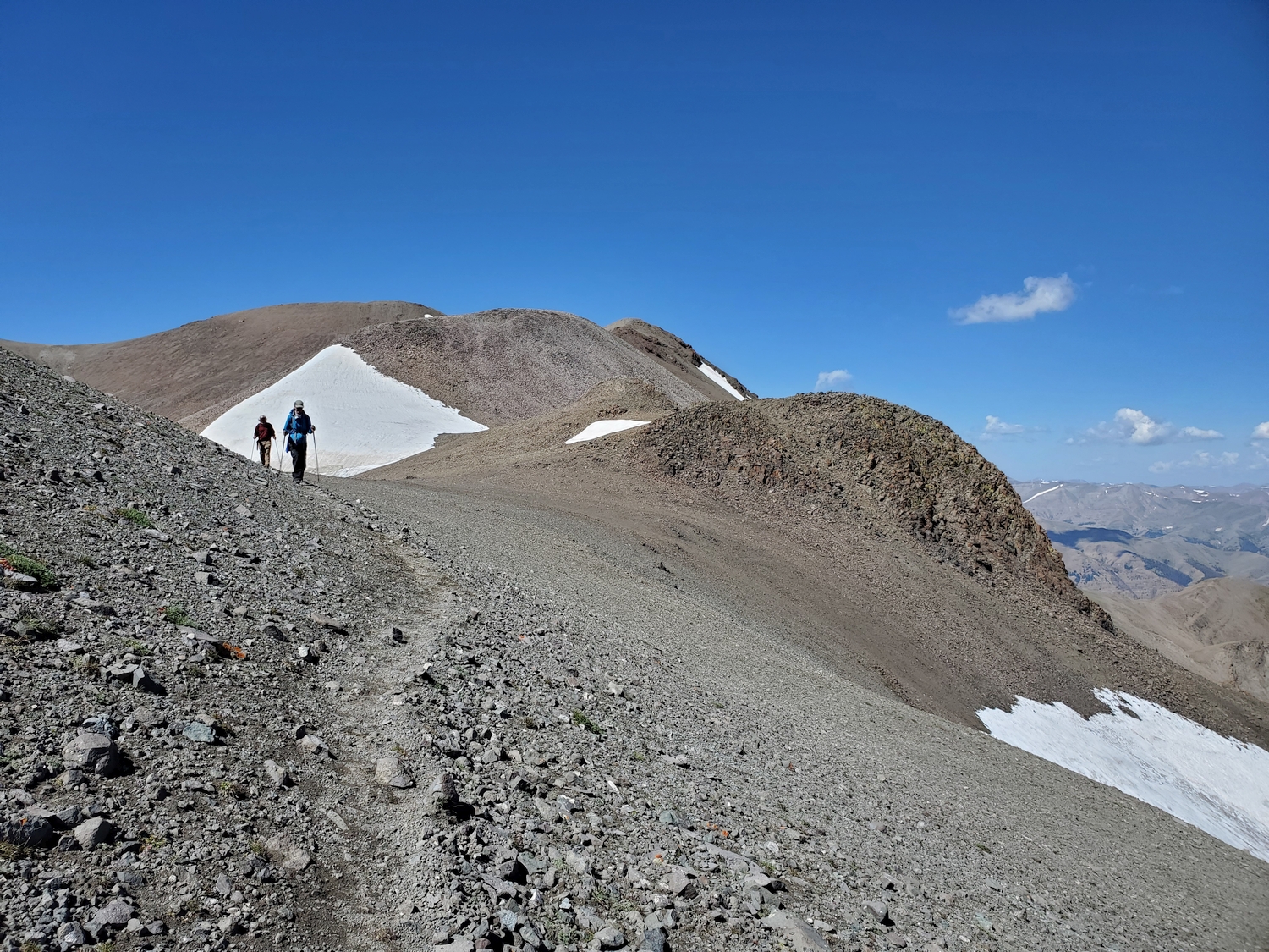
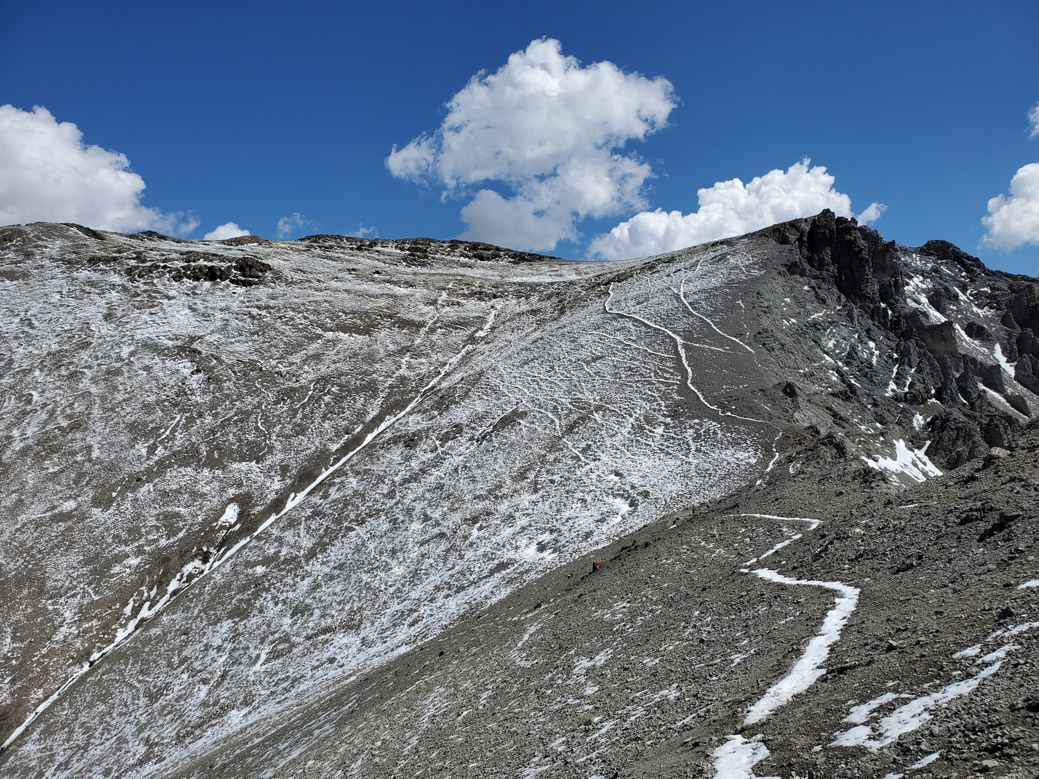
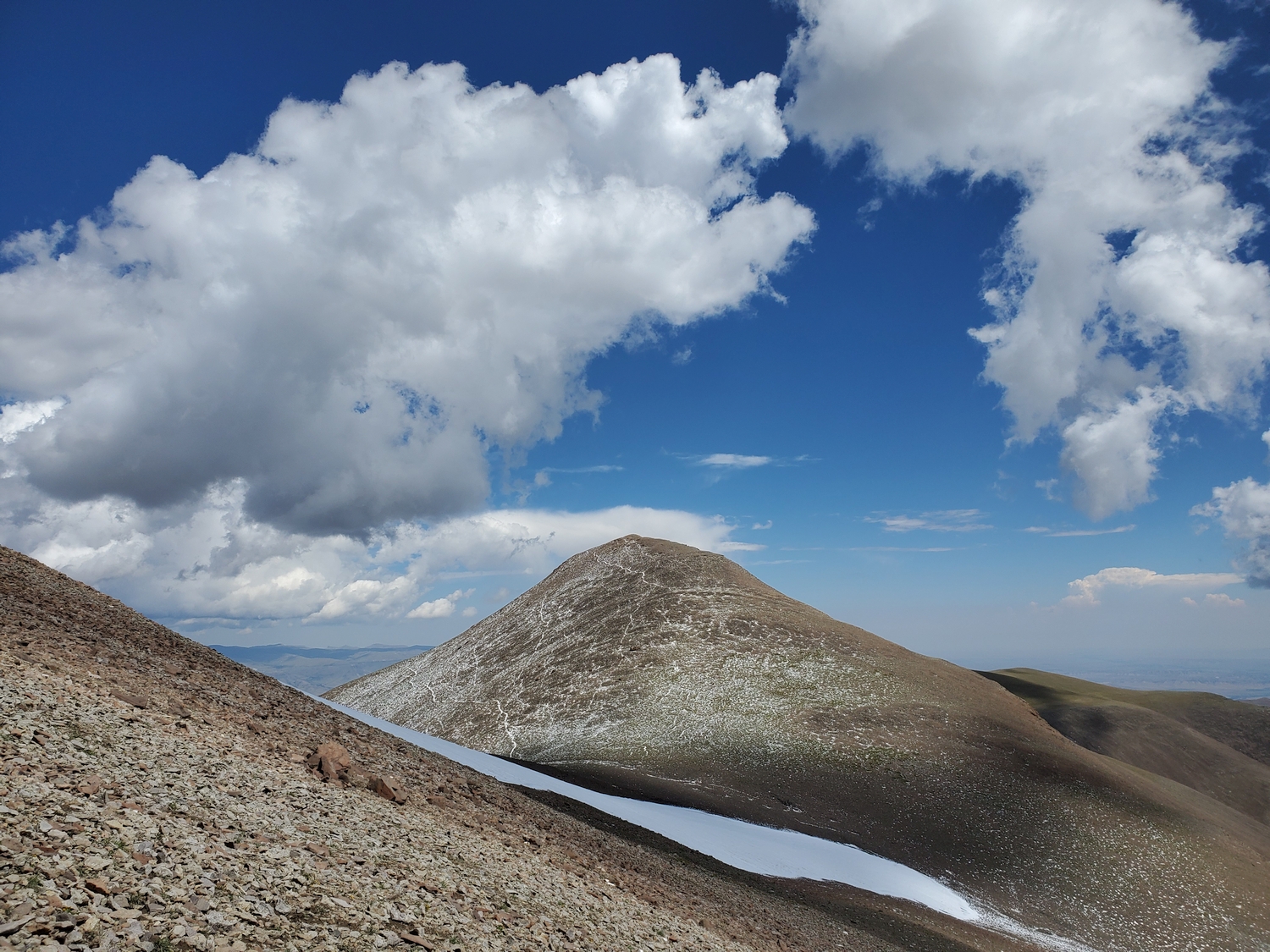
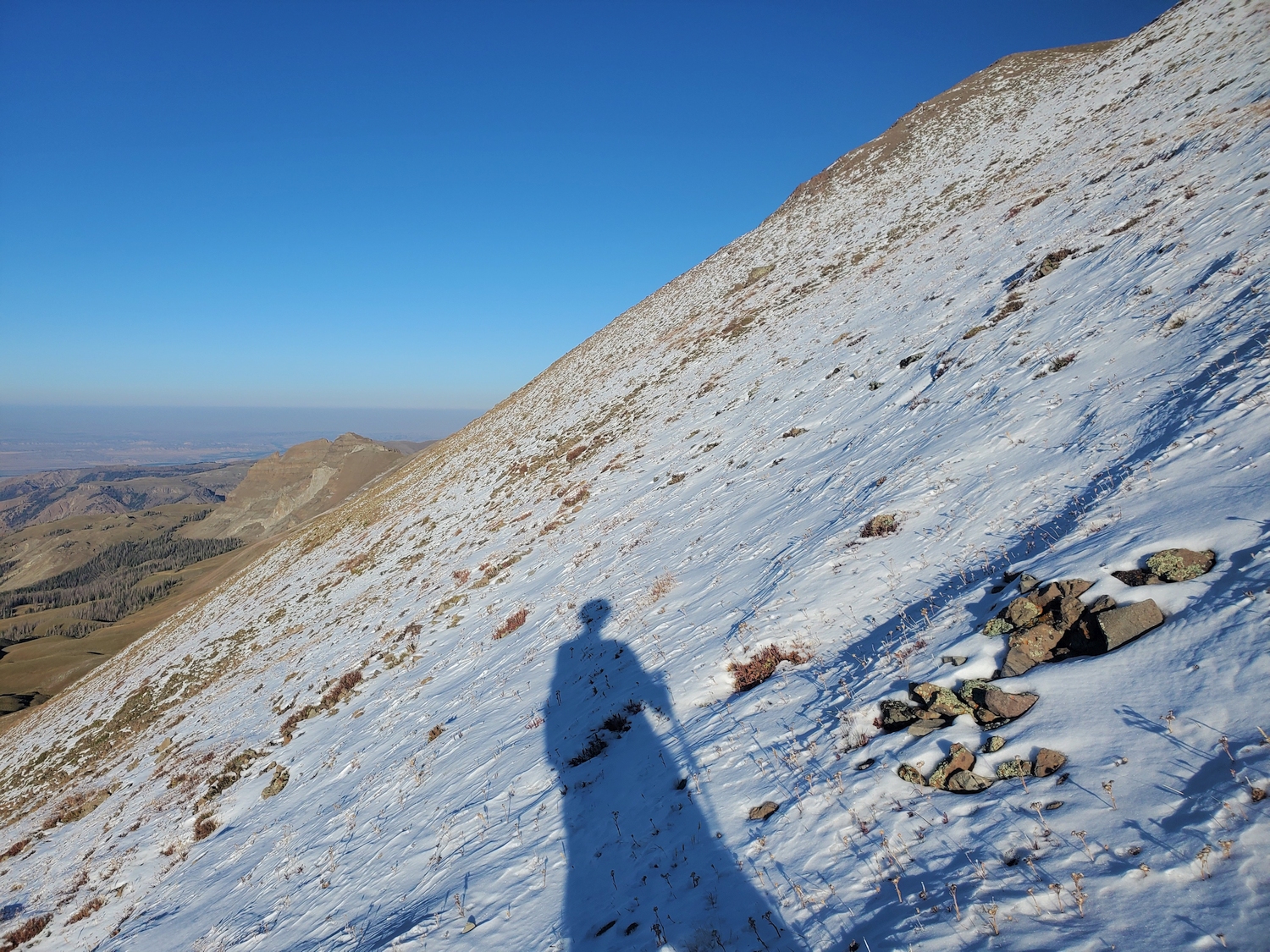
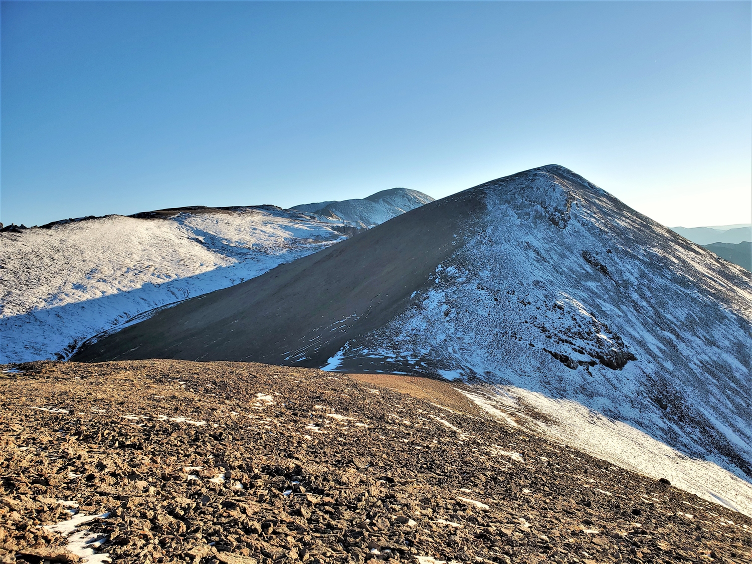
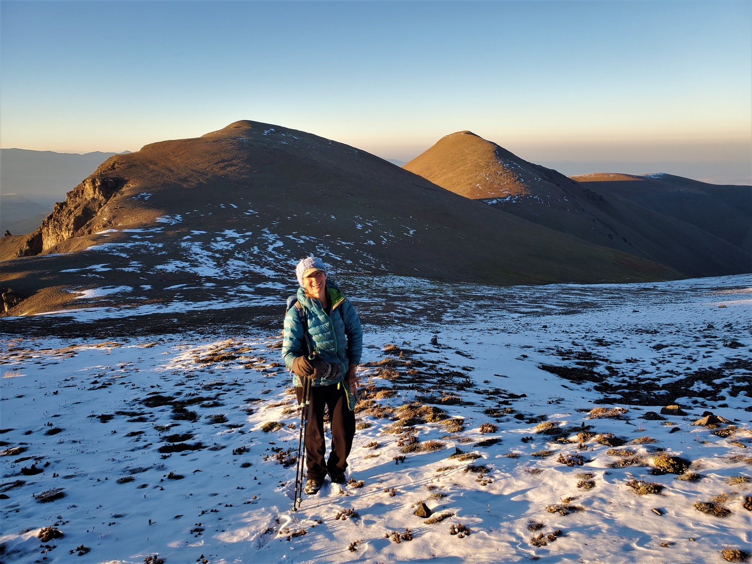
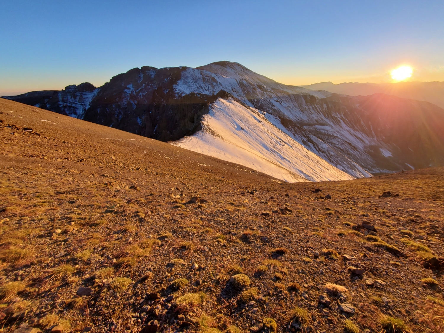
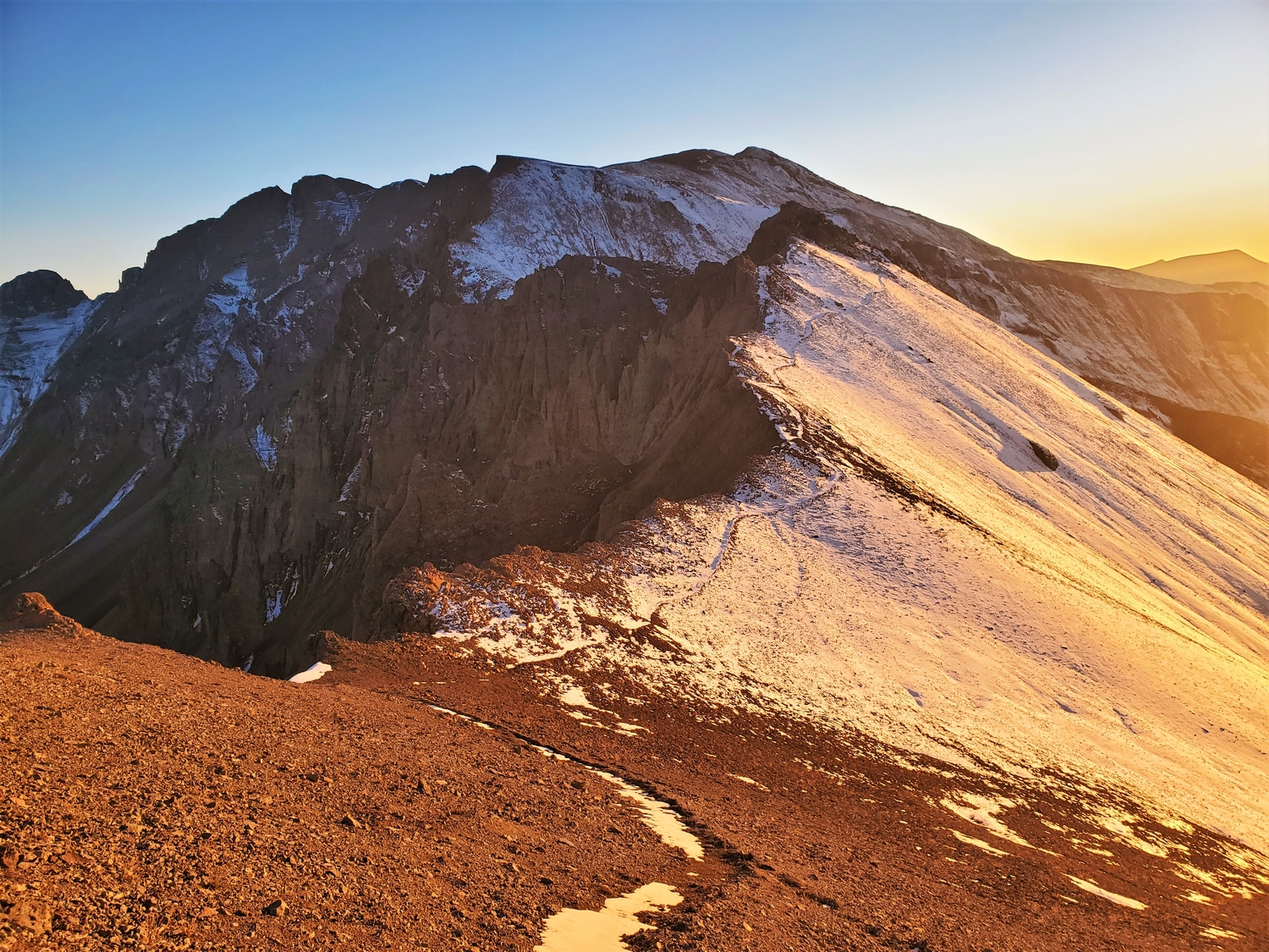
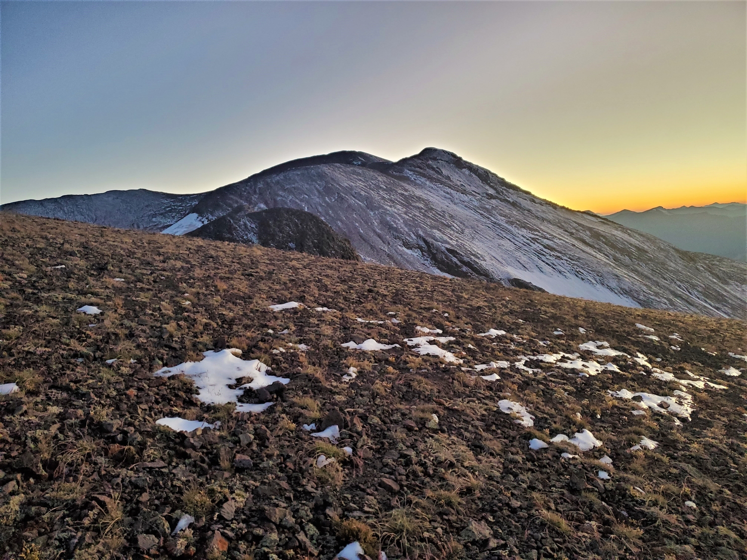
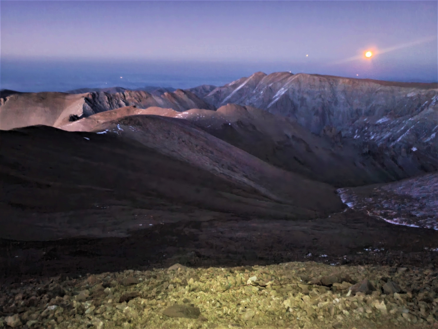
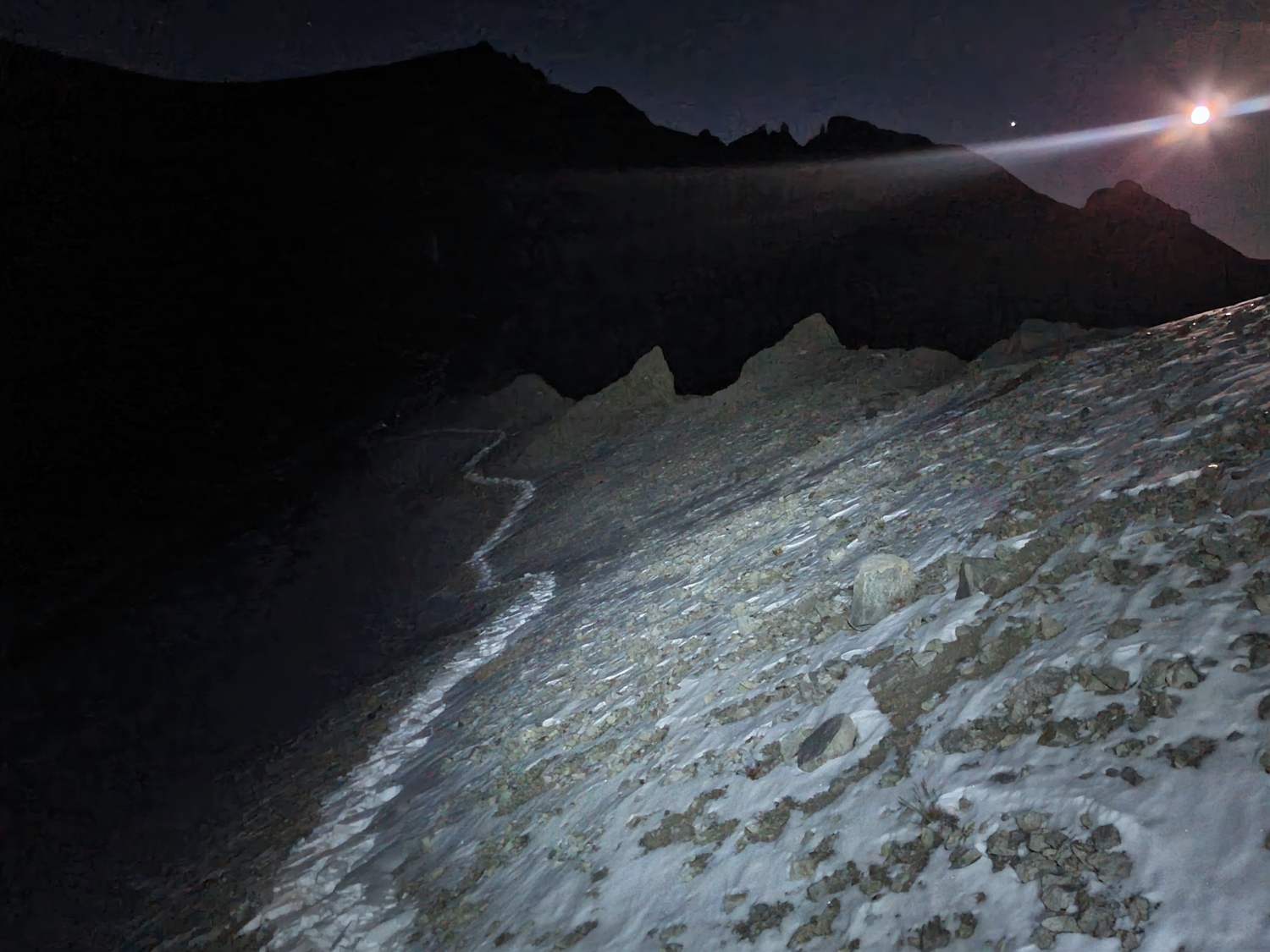
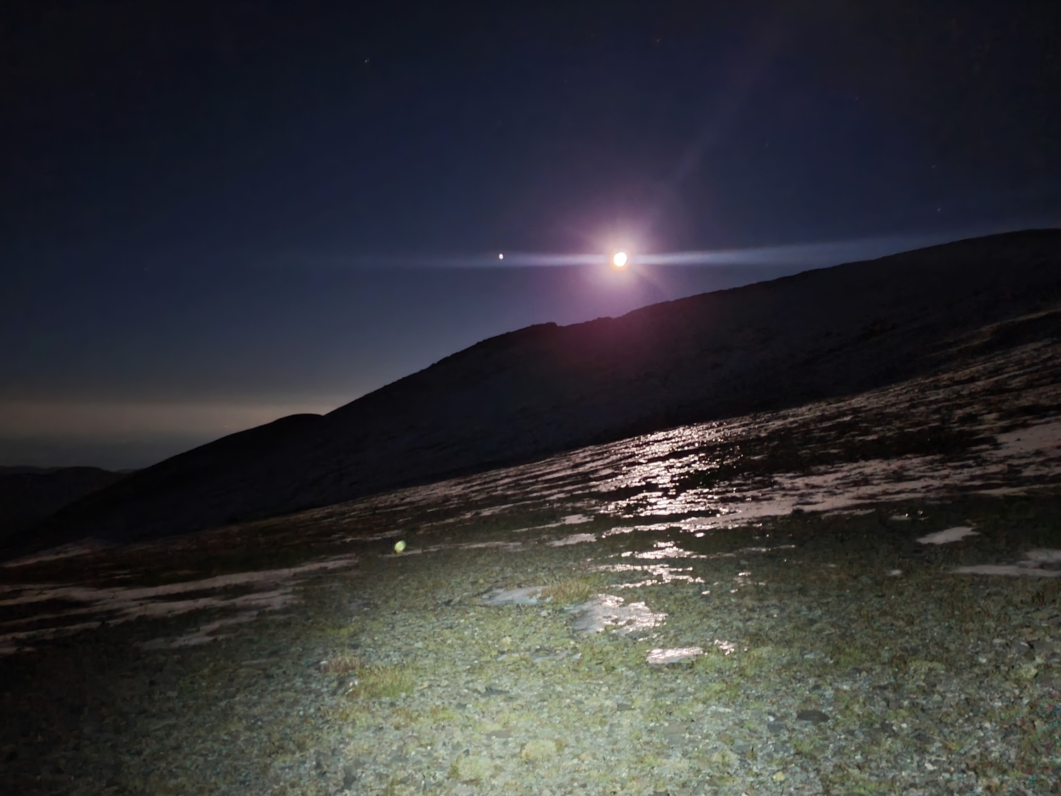
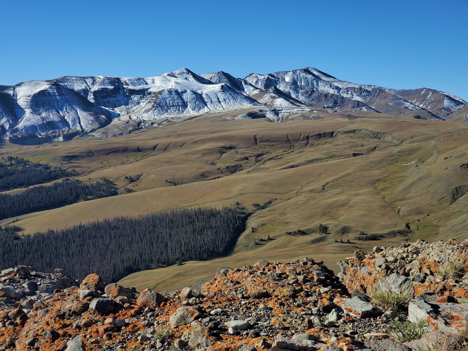
The hike begins with a thousand feet of grassy slopes to gain Francs Peak’s north ridge. After traversing around or over Reef Benchmark (Point 12490), continue along the undulating ridge past Point 12509 and Point 12578. The ridge narrows and requires clambering through some rocky sections between Point 12578 and Point 12815, and bear trails through this area are a good reminder that you are not alone. The final ascent to the summit involves a few hundred feet of hiking over volcanic sand reminiscent of the Andes.
Route 2: South Ridge – Class 2
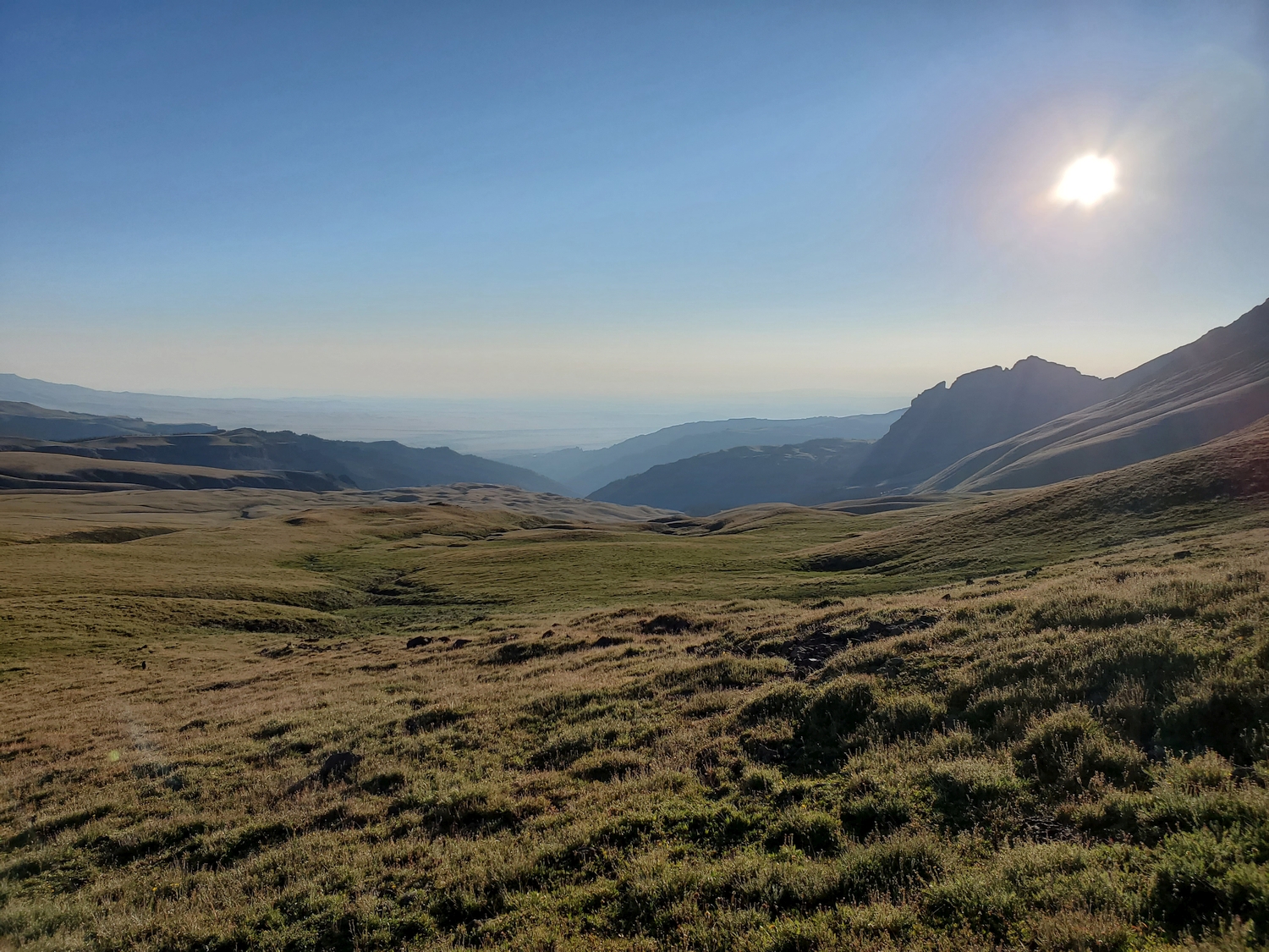
Drive up the dirt road that runs along the Wood River, which involves unbridged stream crossings that could be challenging for some vehicles depending on the season. A trail follows Meadow Creek up from the Wood River to the above-treeline Meadow Creek Basin. From here, climb up onto the high plateau of Francs Peak’s north ridge and traverse along the broad, gently undulating ridge to reach the summit cone from the south. This route, while longer than Route 1, is preferred by those who do not wish to drive the challenging Phelps Mountain Road.
Francs Peak Map
Francs Peak Panorama
Francs Peak Photos
-
- The Phelps Mountain Road provides the highest altitude trailhead on any of the Wyoming 13ers, ending around 11,000 ft. (2020)
-
- The flat, grassy plateau of Phelps Mountain is out of character for most of Wyoming’s mountains (2020)
-
- So many plants at this altitude feel refreshing compared to the stark rock of the Winds, Tetons, and Bighorns (2020)
-
- Carrying an AK for good measure since grizzlies in this region have been known to actively hunt, kill, and eat humans (2020)
-
- A recent massive convective storm dropped a blanket of hail across much of the upper mountain (2020)
-
- This well-established game/hiker trail follows the ridge just below its crest through this area (2020)
-
- Looking down into Jack Creek, where a small pond is one of the only open water sources in the area (2020)
-
- View north from the summit over Jack Creek, with Phelps Mountain visible in the distance on the right (2020)
-
- Summit panorama looking down one of the forks of Avalanche Creek into the Grebull River valley (2020)
-
- Parting view of Francs Peak (distant) and Phelps Mountain while driving back down the long dirt road (2020)
-
- The ol’ Chevy Blazer makes short work of the Phelps Mountain Road. We’re careful not to push it too hard to avoid overheating on the steep grade.
-
- The same snowstorm that gave me trouble in the Bighorns and on Wind River Peak dumped a fresh coat of the white stuff on the northern Absarokas. Francs Peak is the summit in the distance on the right. I chose the same route as last time, namely the north ridge from Phelps Mountain Road.
-
- The route starts with a thousand feet of steep grass, made slippery by the fresh snow. We reached the de facto trailhead around 6 p.m., only an hour and a half before sunset.
-
- My mom joins me for the last climb of this project. The Phelps Mountain Road is visible in the background.
-
- After the initial steep ascent, we top out on the ridge and follow it past several false summits, including Reef Benchmark (seen here).
-
- We spotted a couple of grizzly bears on the shadowed slope of this sub-peak that we planned to traverse. Luckily, the bears moved out of sight by the time we got over there, but there were the marks of bear diggings everywhere.
-
- Looking back at the first two false summits that we traversed around on the north ridge of Francs Peak. While relatively short, the route is a real roller coaster and doesn’t give up easily.
-
- Sunset light makes for fun shadow selfies as we near Point 12,578. We made a habit of calling out “hey bear” to alert any nearby carnivores to our presence.
-
- Sunset on the upper slopes of Francs Peak. I’m not looking forward to finishing the ascent and descent in the dark with grizzlies lurking around every corner…
-
- Looking back at Point 12578 as my mom follows my footprints along the snowy traverse. She decided to wait at a point on the ridge just past here while I continued through a steeper section of snowy rocks. We didn’t anticipate splitting up and were a bit worried about it, but I left her with extra bear spray and promised to return as quickly as possible.
-
- The slope rounds over for the last time and I gain the final summit just before dark. Francs Peak, 13er number 36/36.
-
- The Tetons cut a sharp silhouette against the fading sunset. It’s hard to believe I was on top of the Grand this morning!
-
- The last glow of evening illuminates the western skyline of the Absaroka Range from the summit of Francs Peak.
-
- The twilight illuminated my view of Jojo Peak (right) and the north ridge of Francs from the summit.
-
- Looking back at the summit dome as I descend the north ridge. To supplement my headlamp, I continuously scanned the slopes around me with a handheld Fenix flashlight.
-
- The almost-full moon provided some welcome light for our descent. Here, moonlight reflects across remnant ice patches from the last few days of snow.
-
- The last picture captured during my 13ers FKT. This view looks back toward Francs Peak (far right) from the point where we left the north ridge to begin a direct descent over snowy grass slopes to the Phelps Mountain Road. My dad occasionally flashed the headlights like a lighthouse far below.
-
- Savoring the view from the back of the Blazer: morning on the Phelps Mountain Road at the base of Francs Peak.
-
- Phelps Mountain, the namesake 10er of the Phelps Mountain Road. We stopped for a quick hike to the summit on the drive down. It was a glorious morning–calm, sunny, and warm.
DISCLAIMER: Mountain climbing is dangerous. Activities described on this page may lead to serious injury, death, and property damage. This webpage is presented with no warranty express or implied. Pictures and text are for entertainment purposes only. No commercial use allowed; all rights reserved.