Jackson Peak will forever be known as the summit to the right of Fremont. While the peaks do combine into a natural pairing, Jackson is worthy of an ascent in its own right, and its position at the head of Indian Basin gives a wonderful panoramic overview of this region. Jackson Peak’s distinctive hump-backed profile is recognizable from anywhere along the Elkhart Park to Island Lake corridor, and a low-angled snowfield usually lingers on the summit plateau into the late summer. This mountain was named for the frontier photographer William Henry Jackson, a fitting tribute since the peak is beautifully framed from Photographers Point.
General Considerations
Jackson Peak combines well with Fremont, and the two can be climbed conveniently from one camp in the Indian Basin environs. However, there is no easy traverse between Jackson and other peaks without losing thousands of feet of elevation, so combining it with other peaks in a single day makes for a rather arduous outing. While the scrambling is only slightly harder than Fremont’s standard route, the routefinding can be devious, especially on the descent, where down-sloping ledges and short cliff bands intermingle into a chaotic landscape. As such, Jackson Peak is considerably less popular than other summit climbs in the Indian Basin region.
Route 1: Southwest Face – Class 3, Mellow Snow
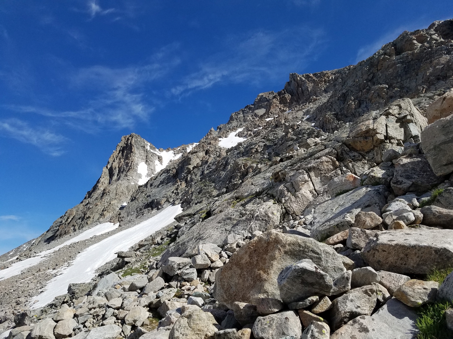
Approach as for Fremont Peak’s standard route. Follow the Indian Pass Trail past Lake 11008, up onto an elevated bench, and past several small lakes. Near the last of these tarns, leave the trail to the left (north) and hike up ever-steepening talus fields below Jackson’s south face. As cliff bands loom above, aim for a hidden, left-angling ramp.
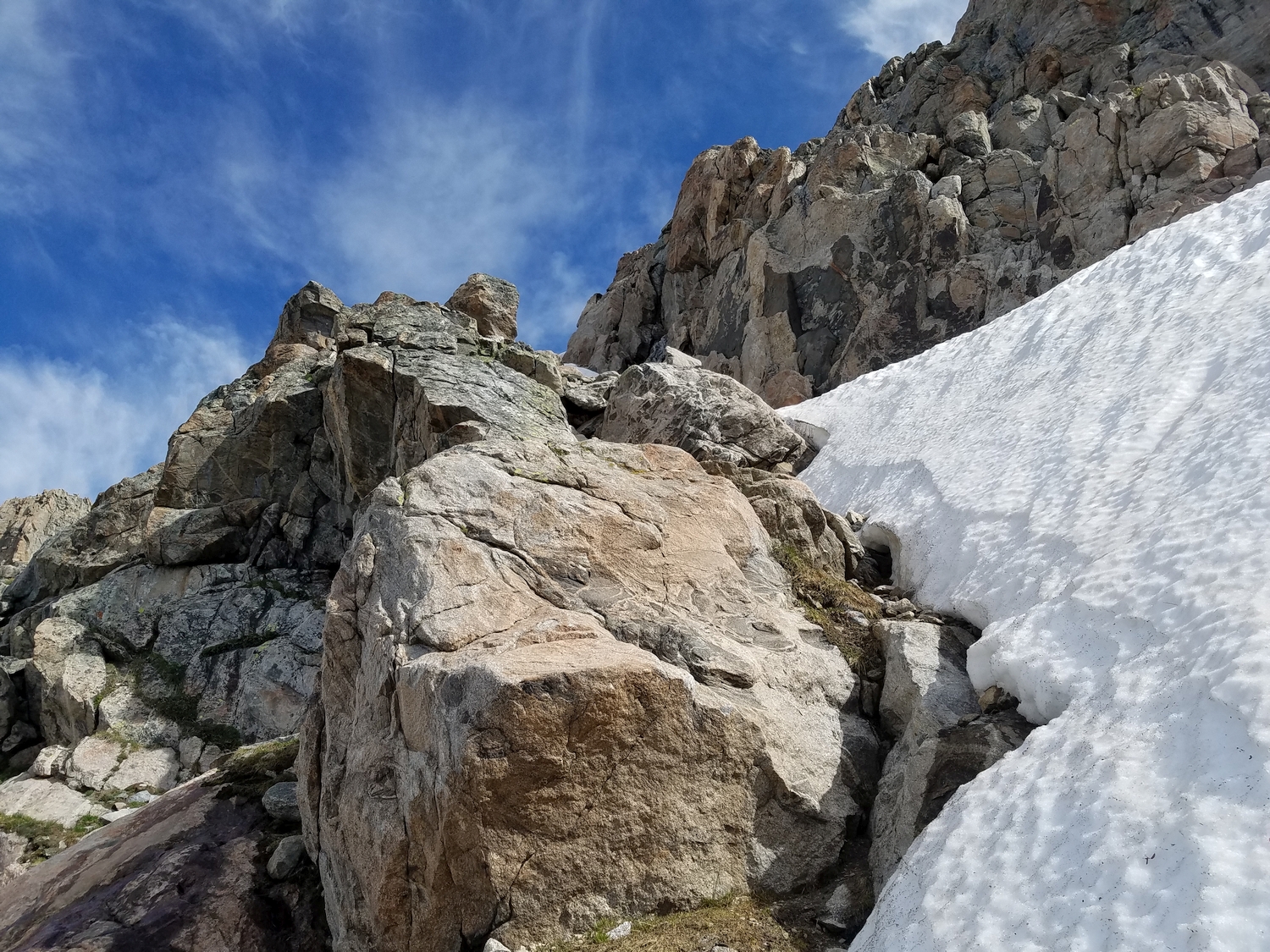
The route is not obvious from below but should become clear after some exploration. Climb up small rock steps and bypass steeper gullies as you traverse the ledge until a broad scree field opens up above. Make good note of this location, as finding your way back here is key for descending the route.
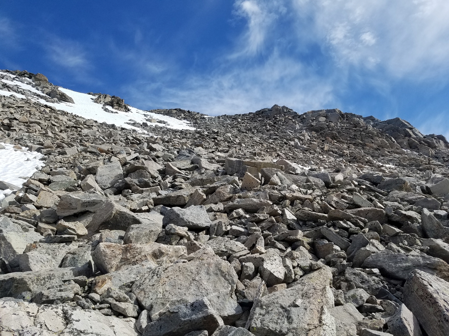
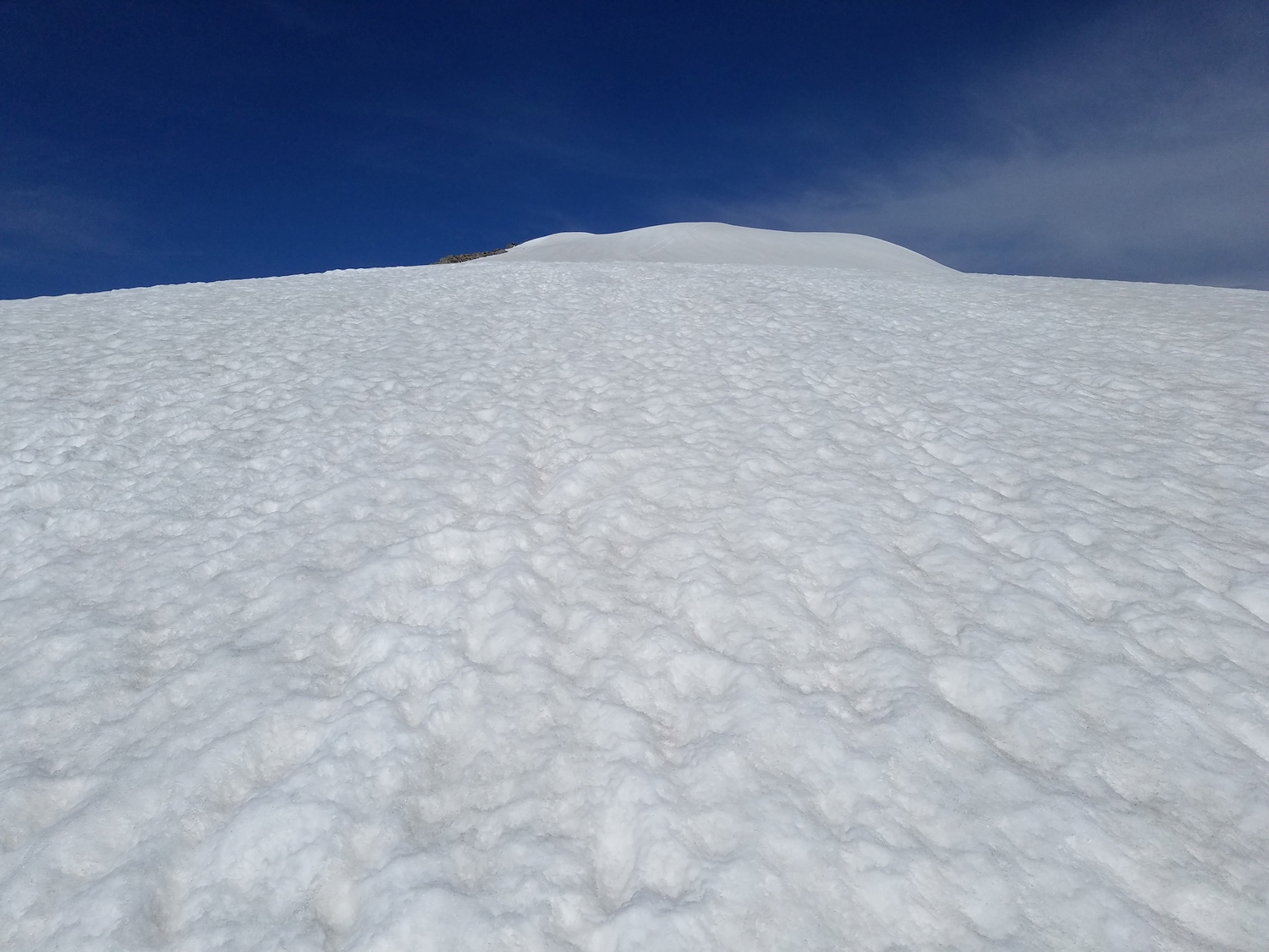
Ascend the scree to gain Jackson Peak’s broad upper talus-covered plateau, from which the summit is a short hike away across mellow terrain consisting of frost-shattered rocks and a nearly flat snowfield.
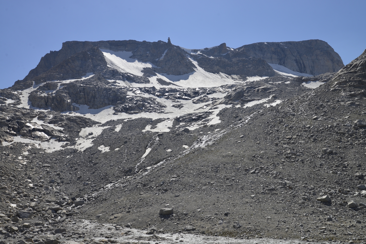
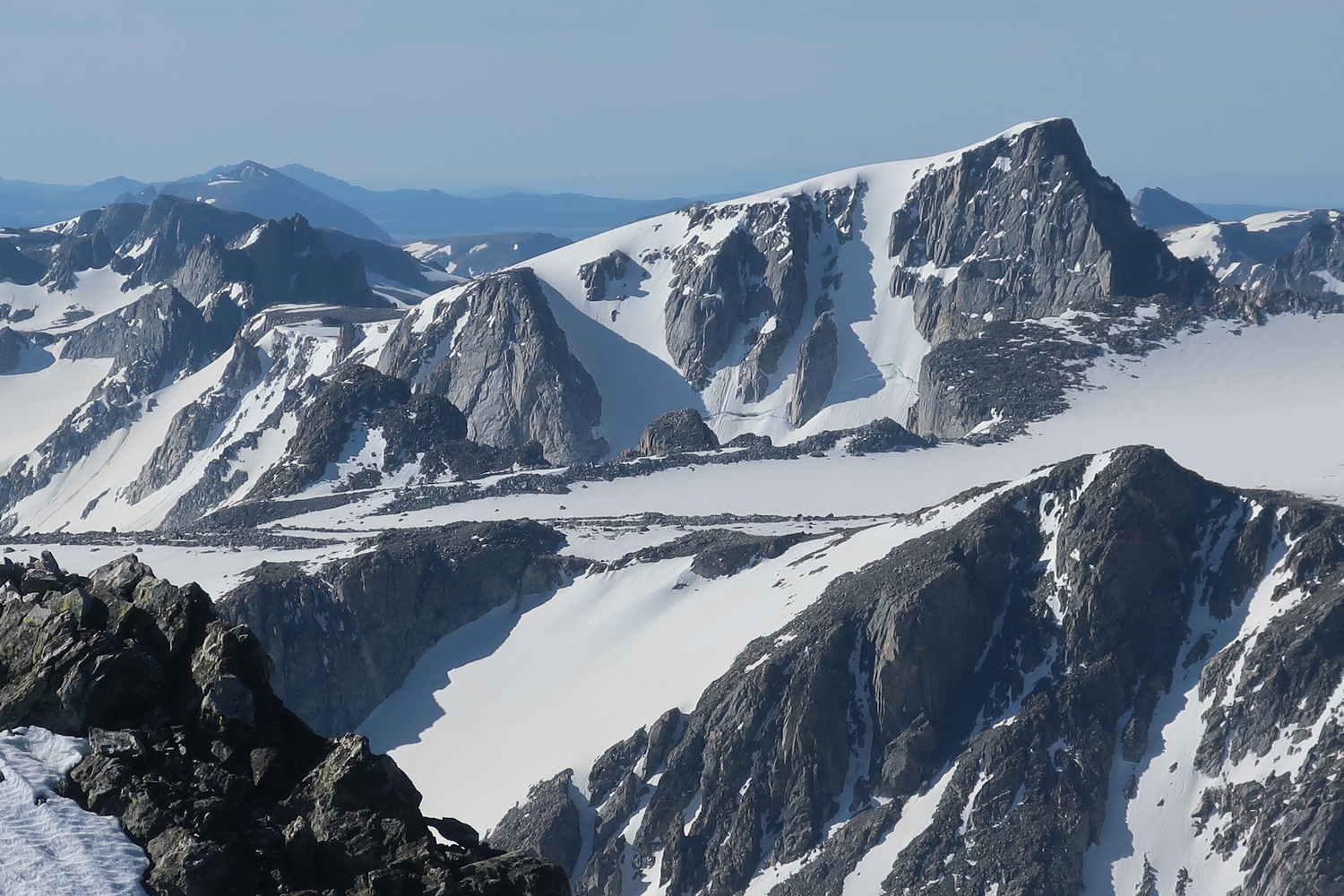
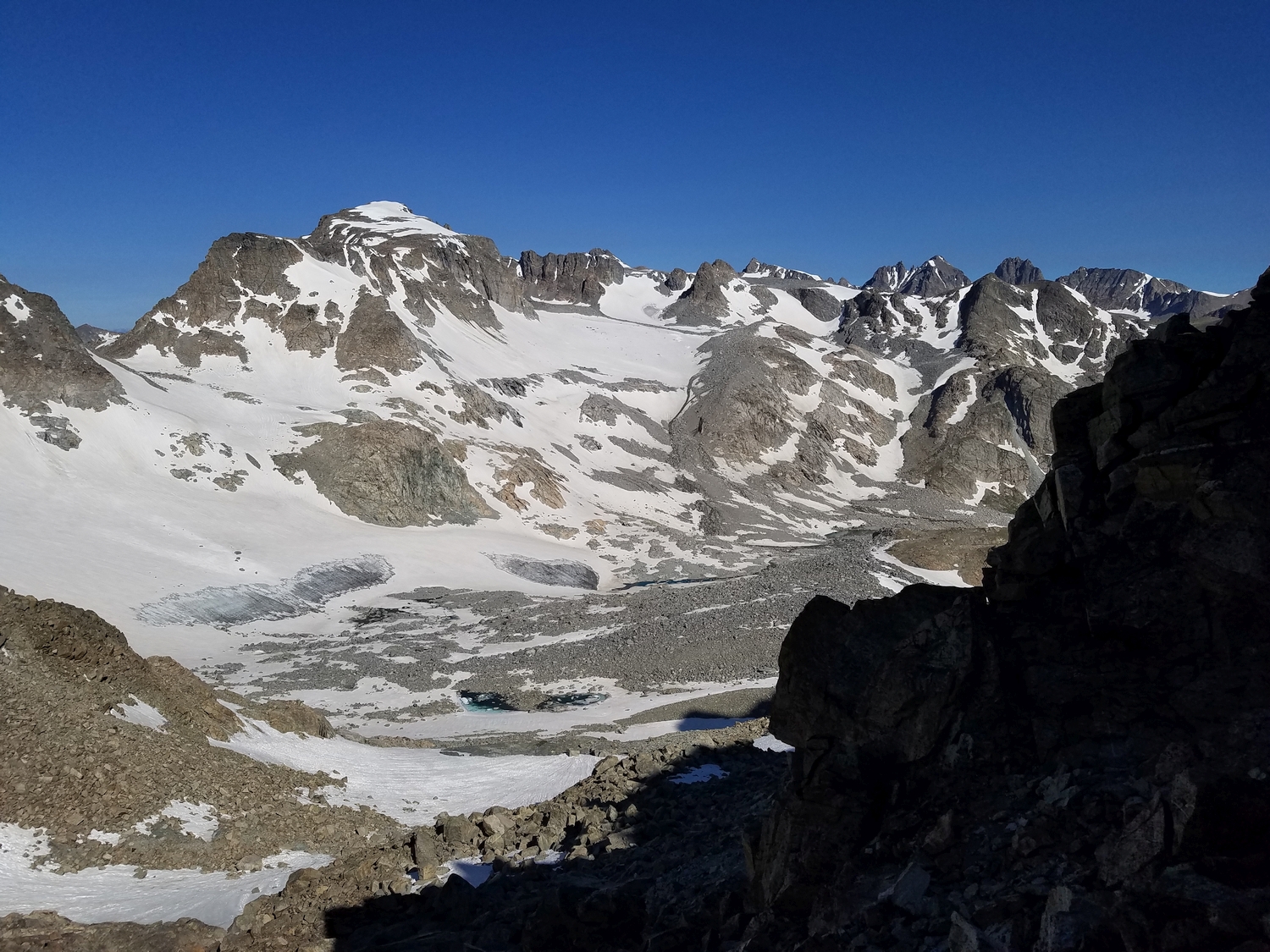
West side of Jackson Peak above the remnants of the Bull Lake Glaciers (2016)
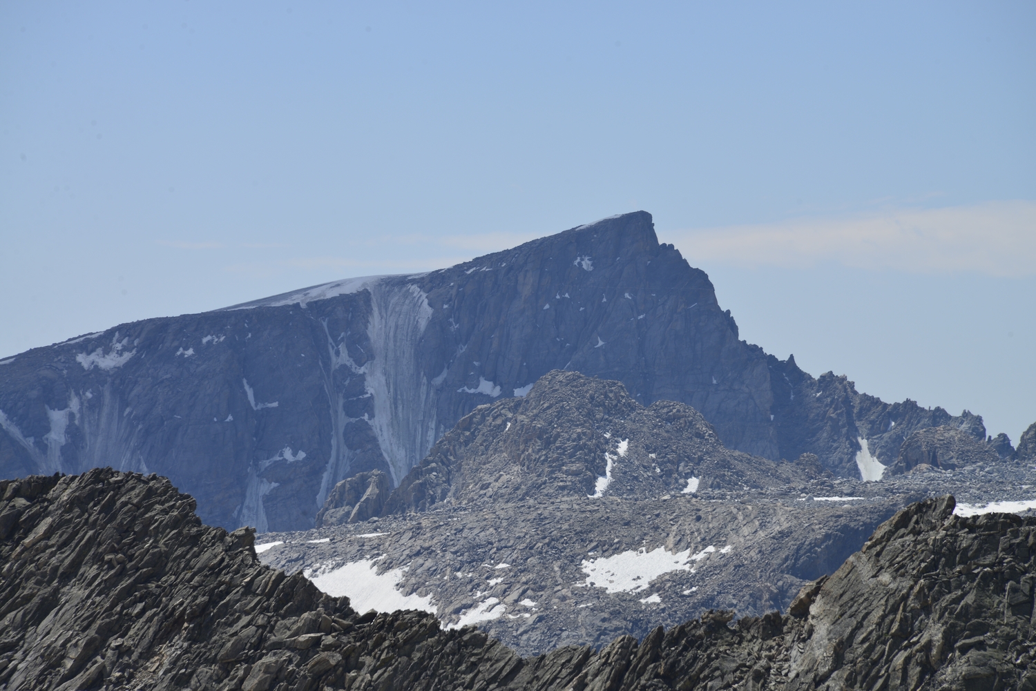
The distinctive northeast profile of Jackson Peak, as seen with a telephoto lens from Blaurock Pass (2016)
From Photographer’s Point on the Pole Creek Trail a few miles out of Elkhart Park, Jackson Peak is framed perfectly in the distance (2020)
Another telephoto view of Jackson’s north aspect (2020)
After climbing Fremont, I hike farther along the Indian Pass Trail below the shadowed bulk of Jackson Peak (2020)
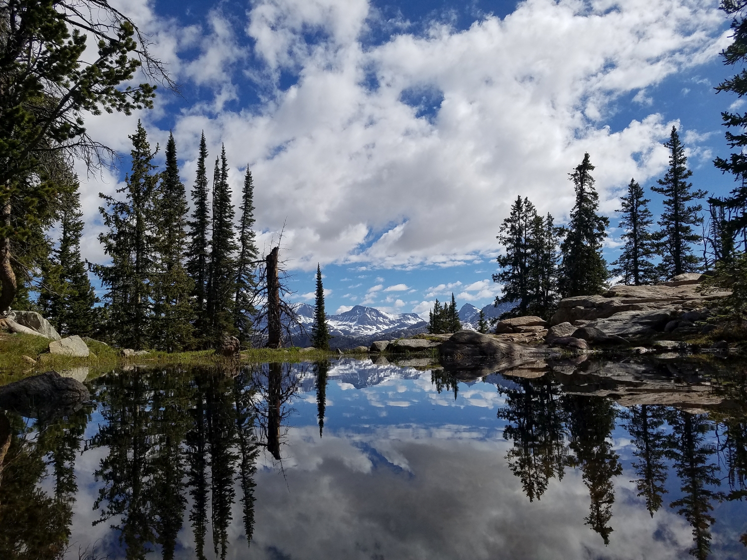
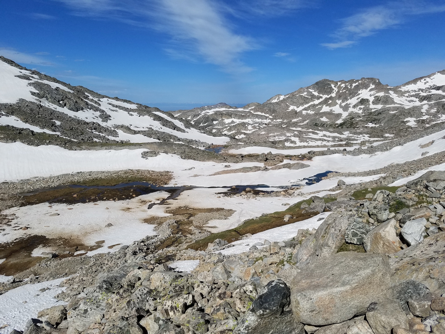
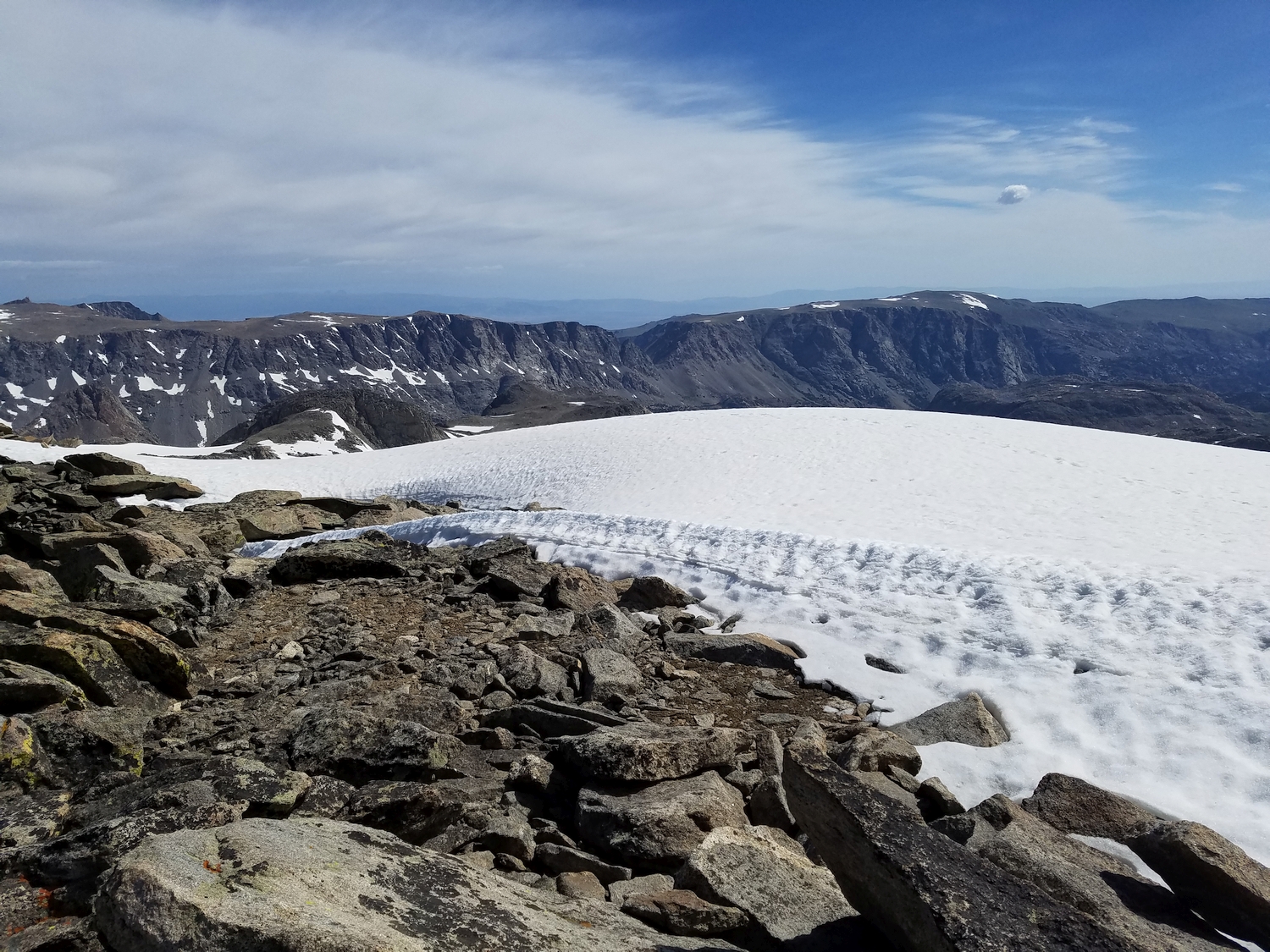
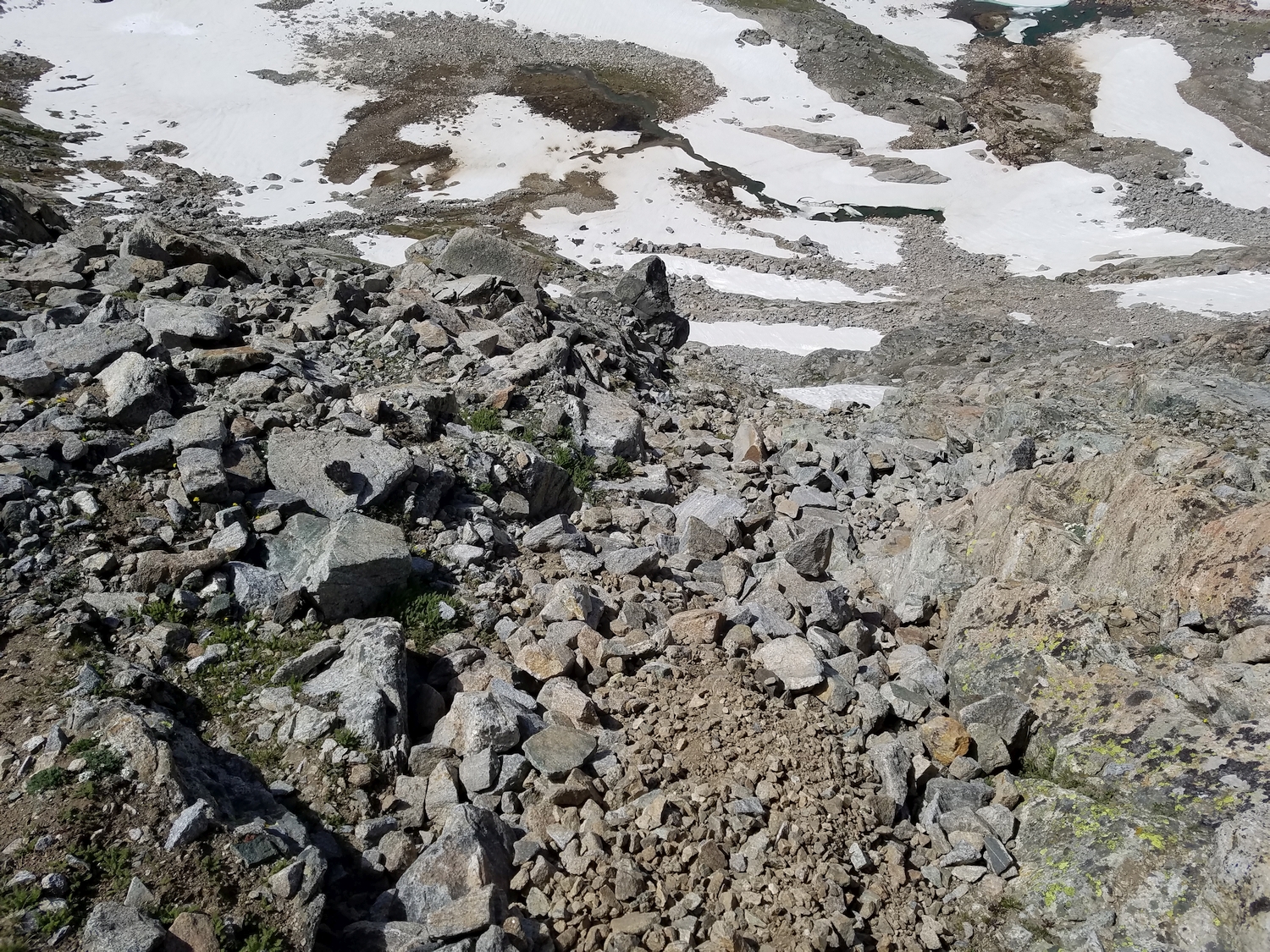
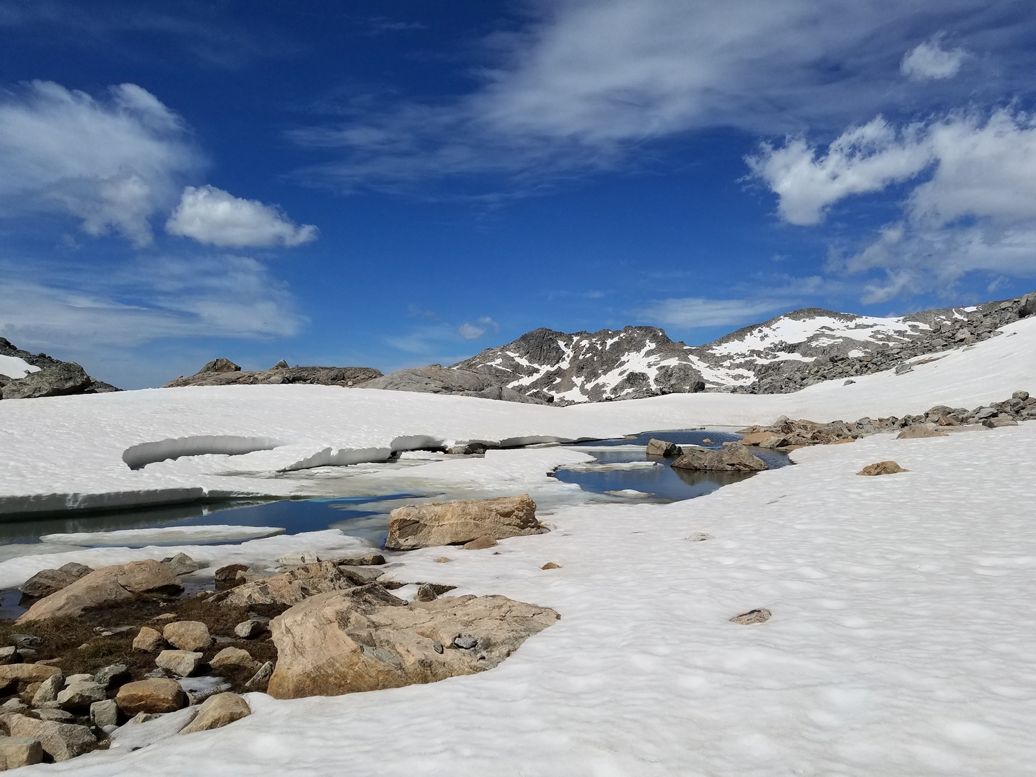
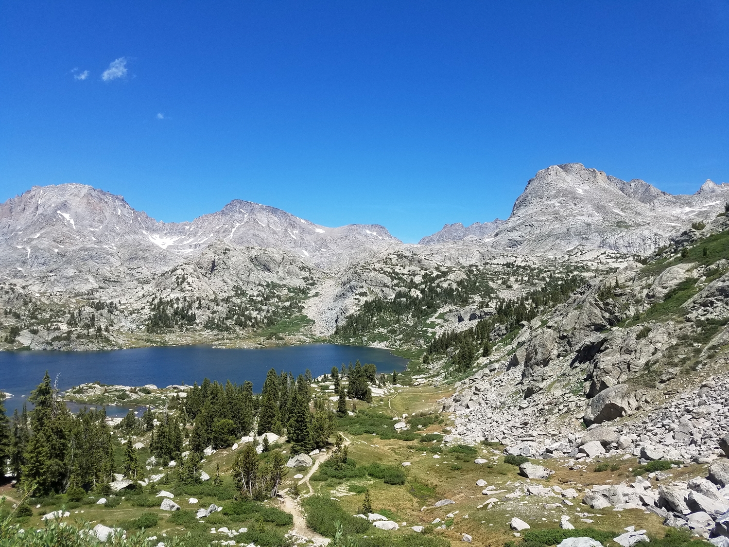
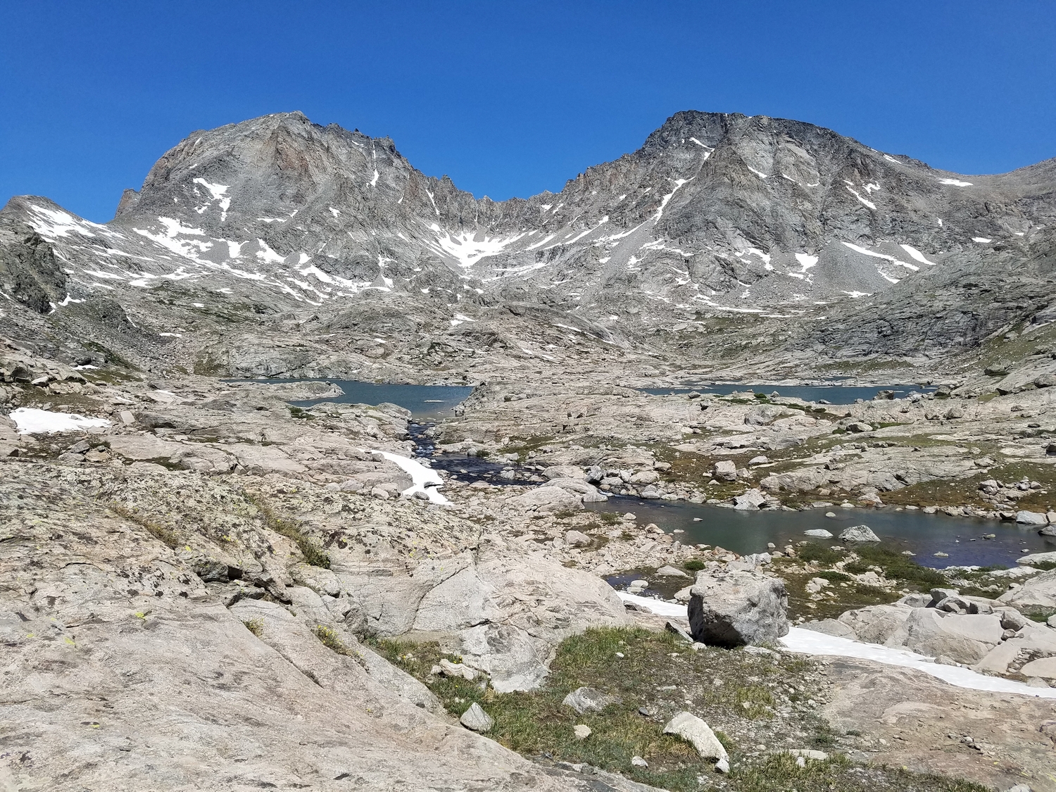
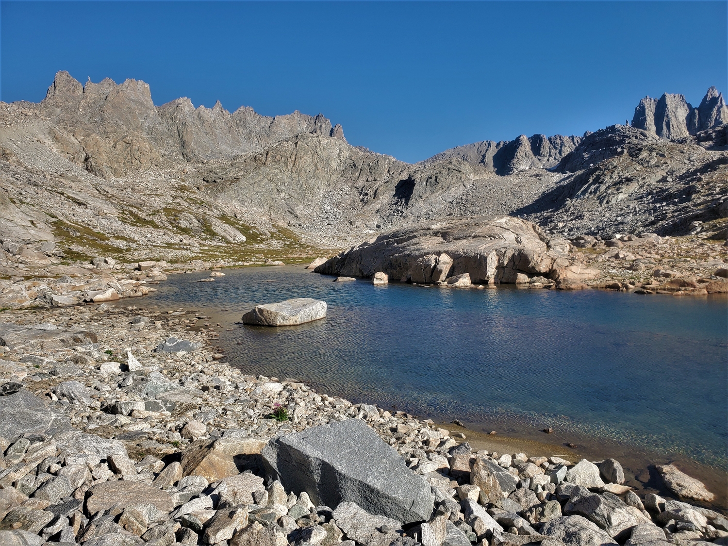
Uppermost area of Indian Basin (2020)
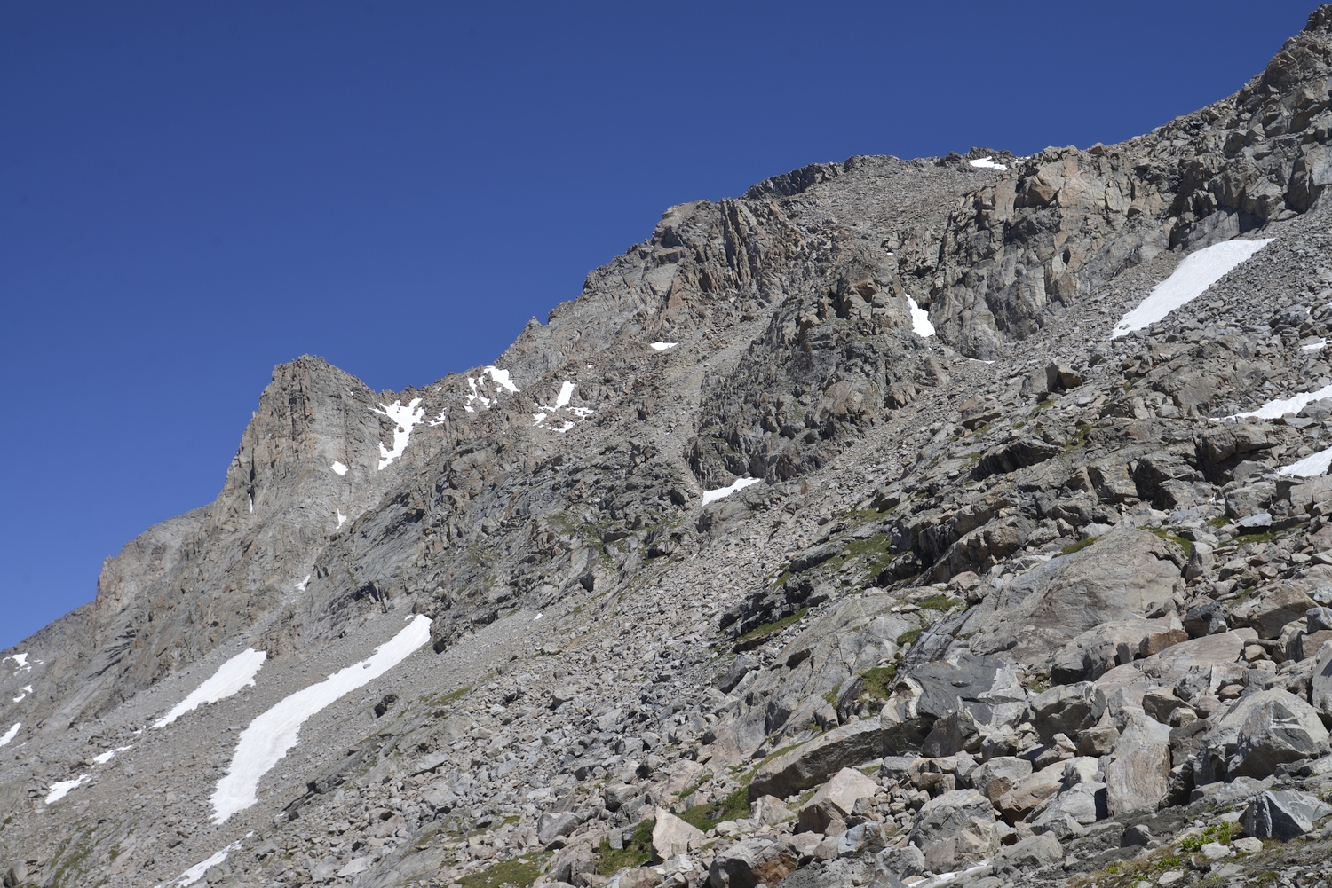
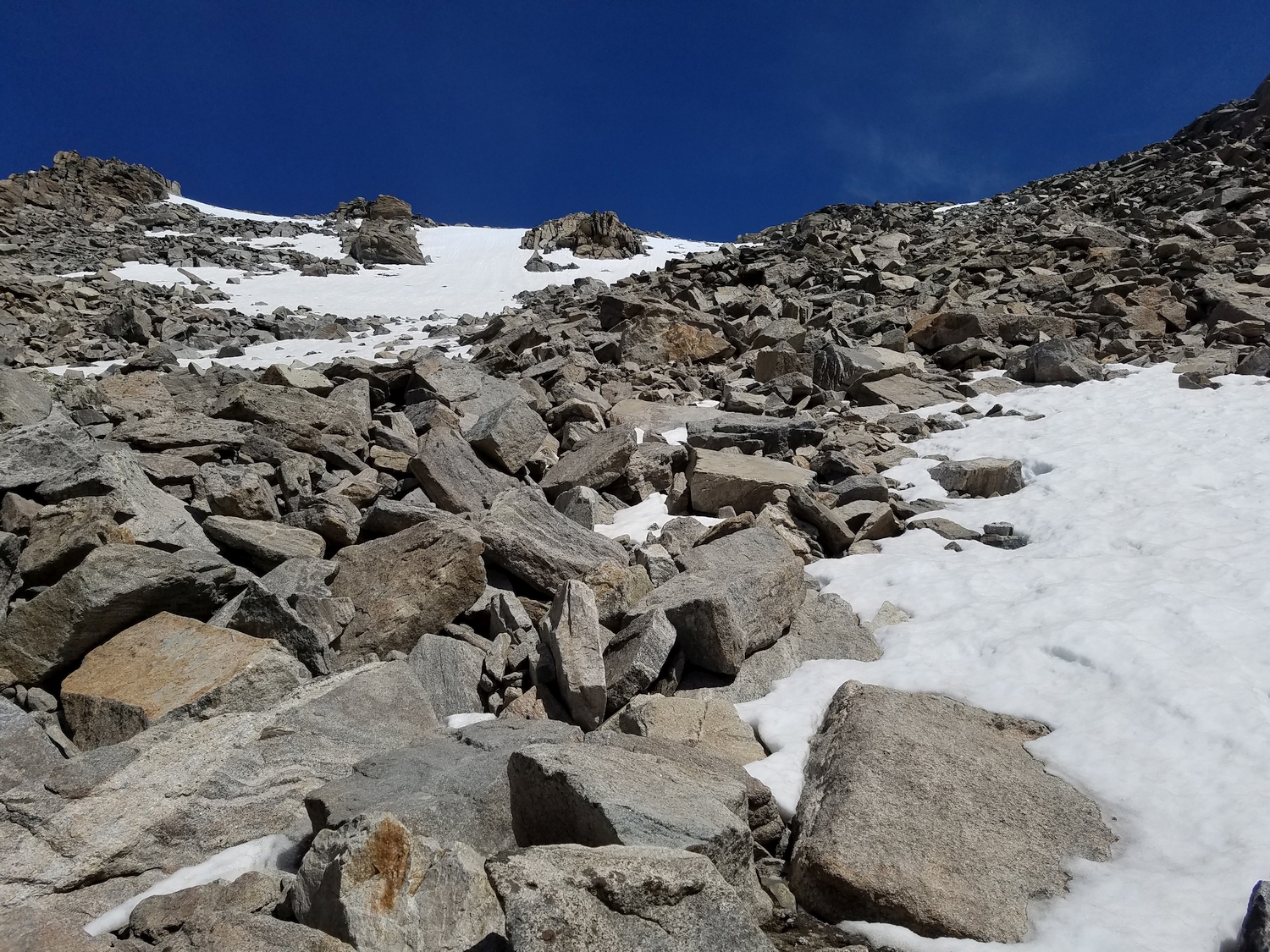
Starting up the south slopes on loose talus (2020)
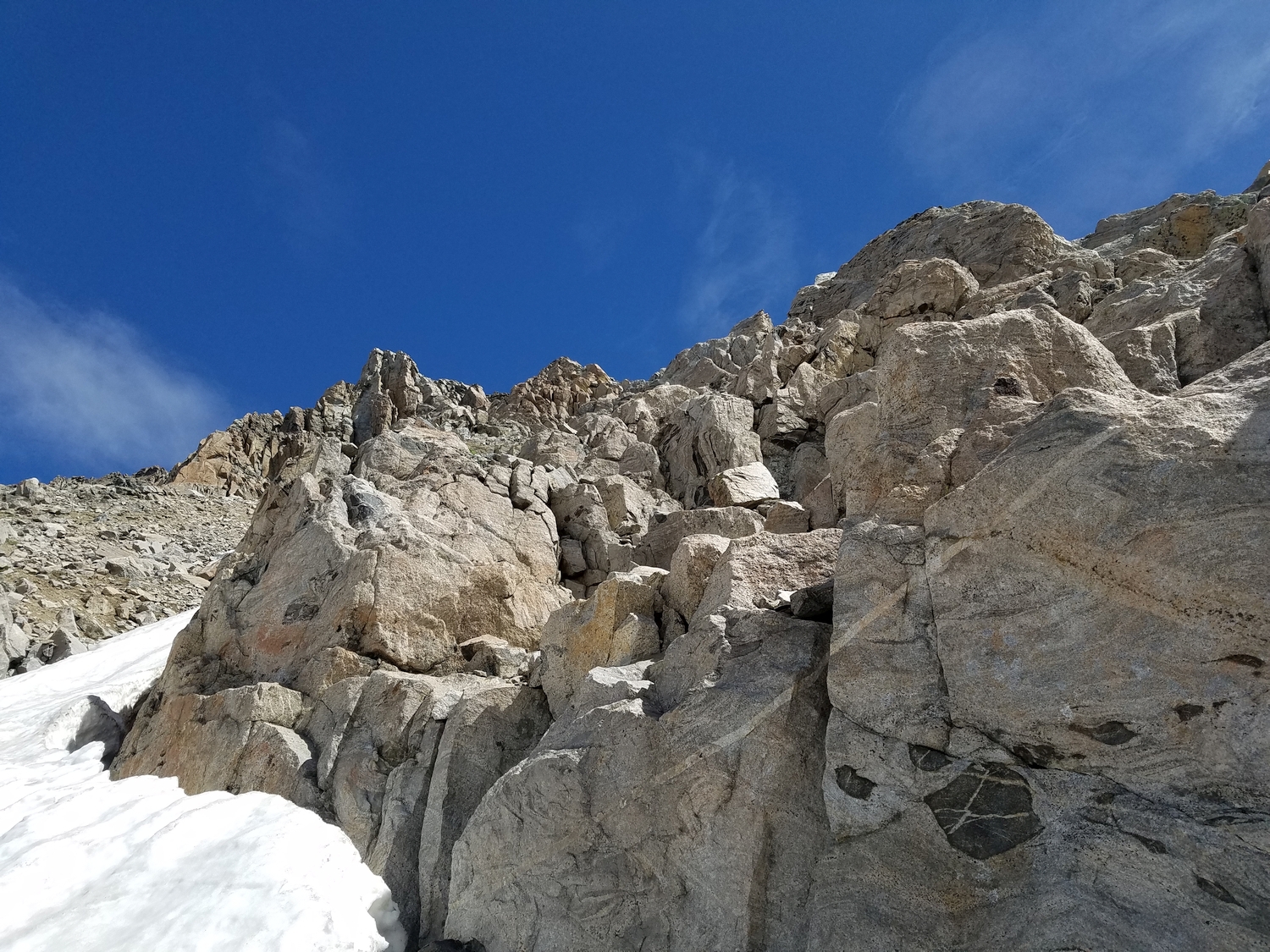
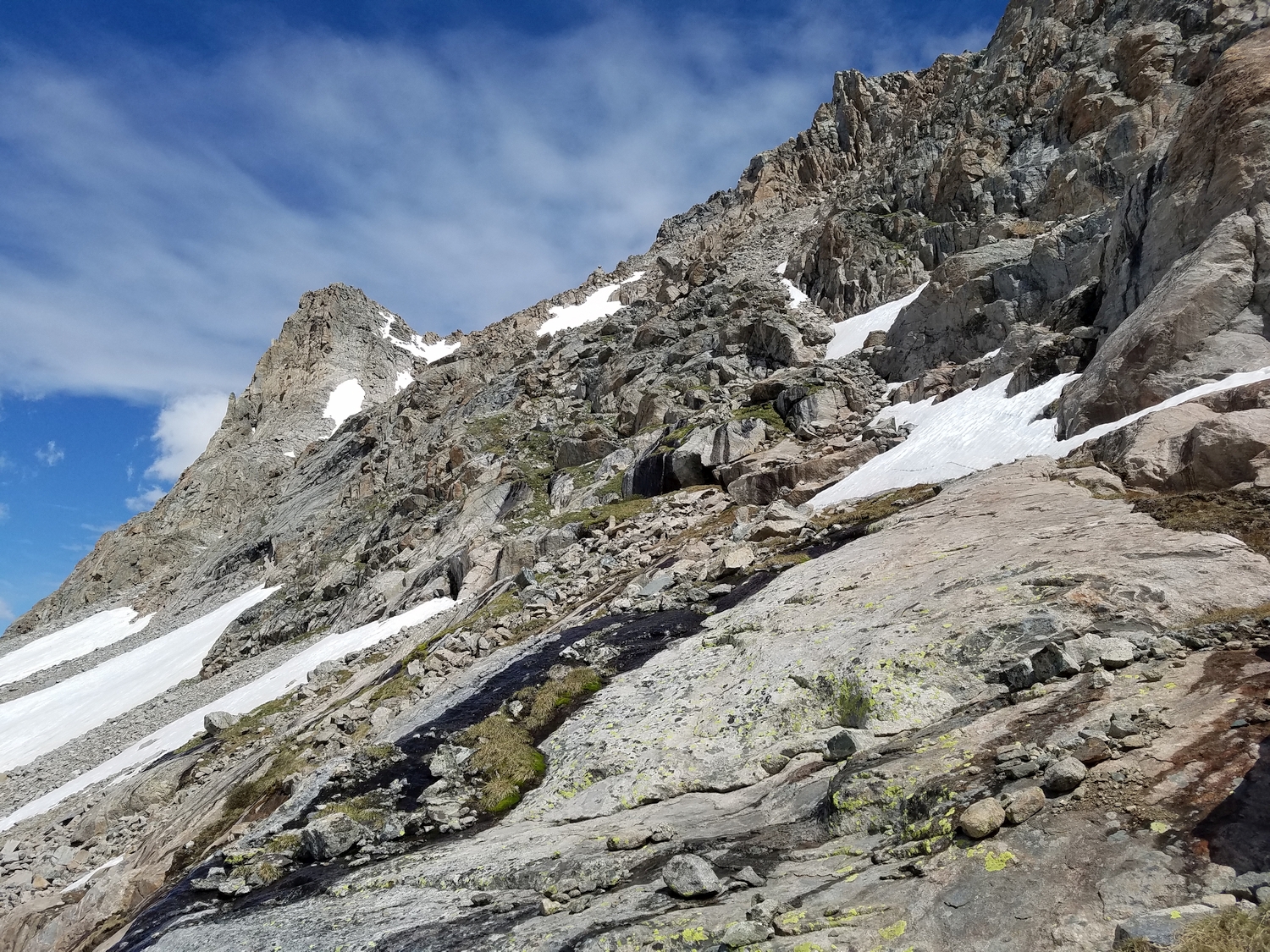
A northwest-angling ledge provides passage through some cliff bands (2020)
Gaining the upper talus fields (2020)
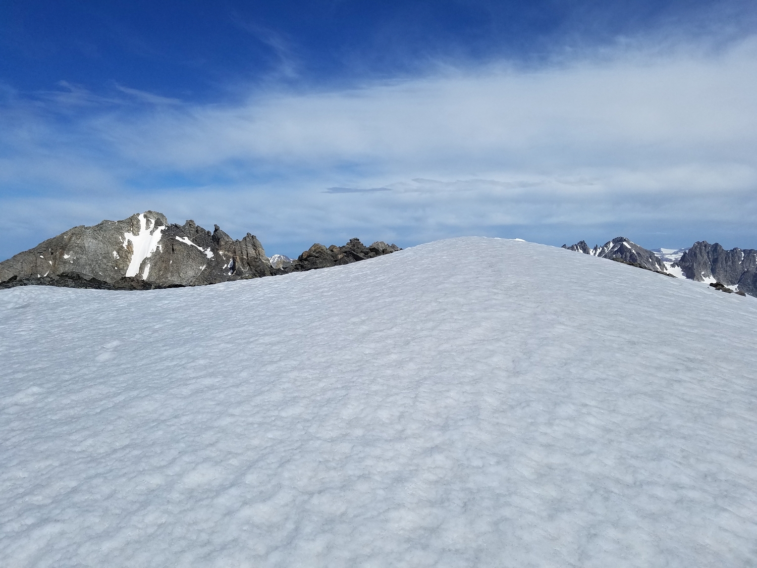
Jackson is rather flat-topped and usually harbors a large summit snowfield (2020)
Nearing the summit of Jackson Peak (2020)
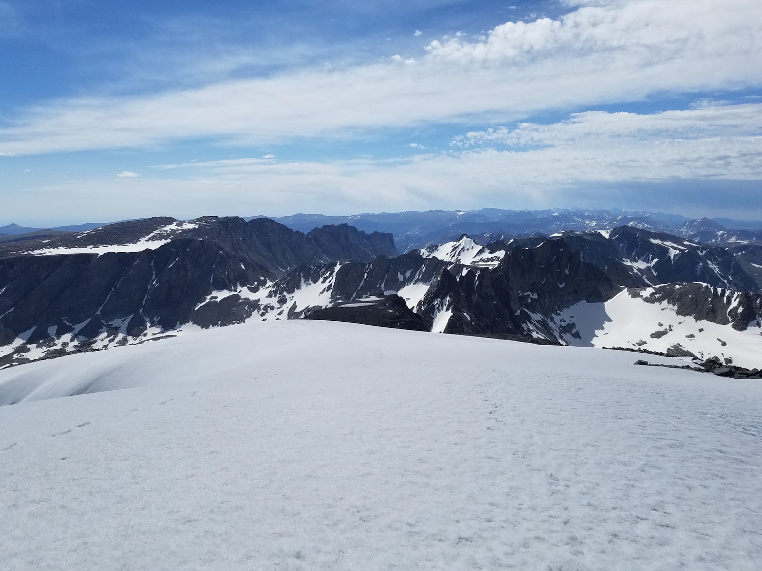
Southeast view from the summit, looking down at Bete Noire and Knife Point Mountain (2020)
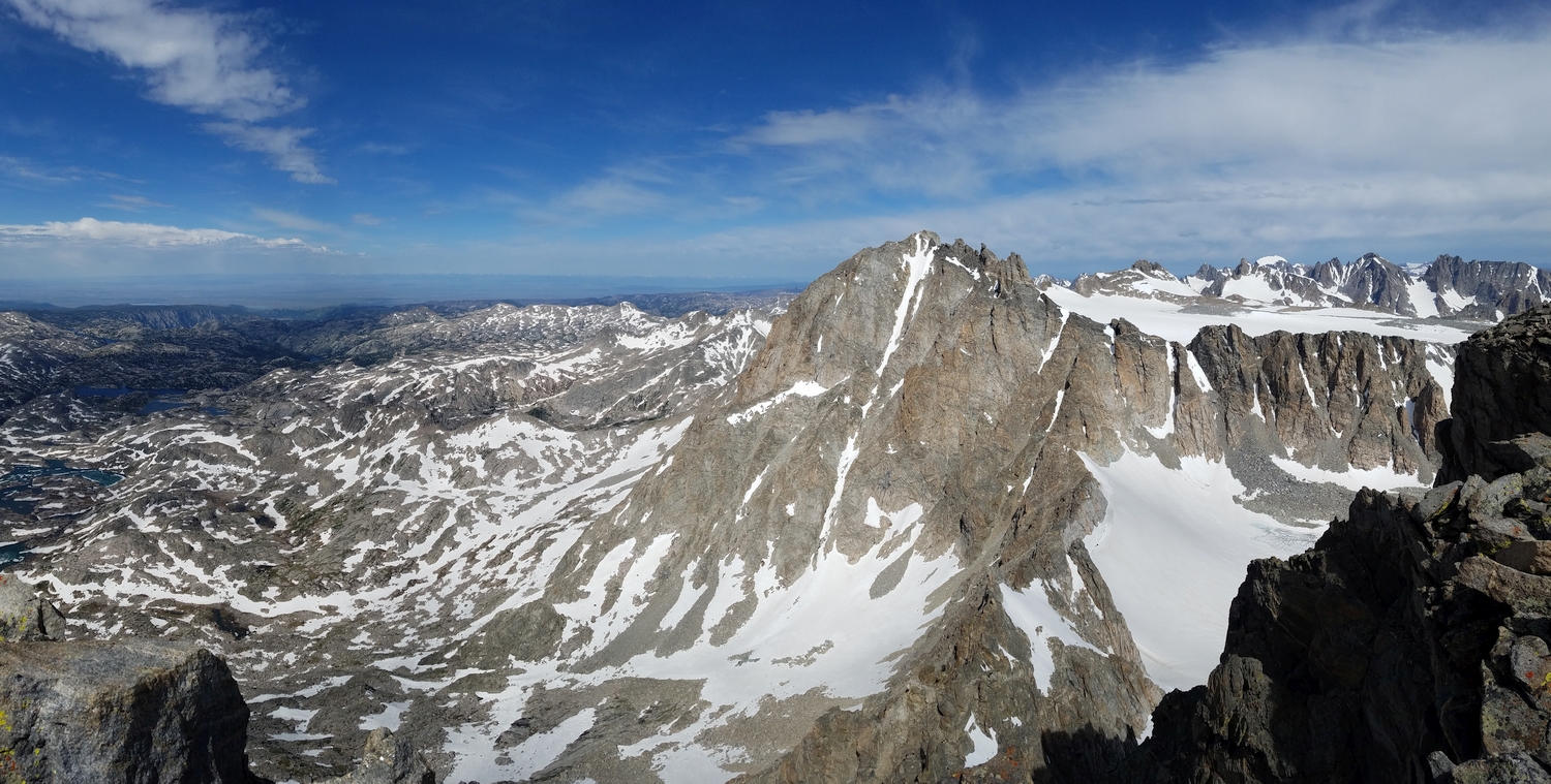
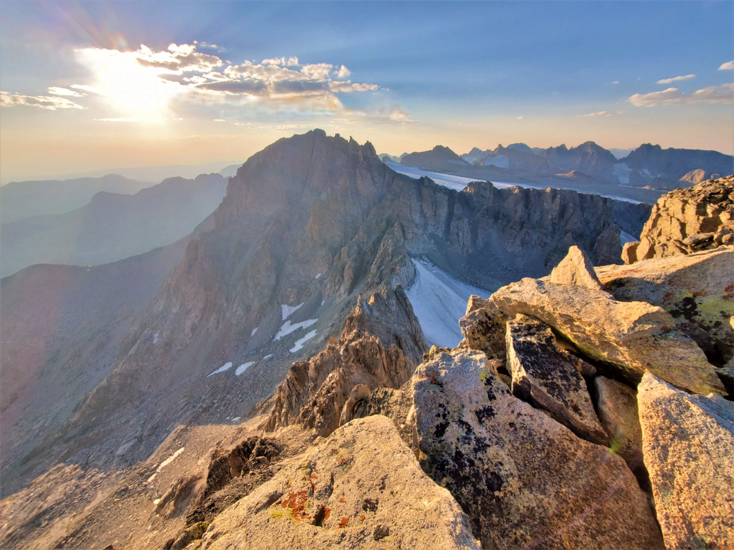
Fremont Peak and the Titcomb-Bull Lake divide as seen from Jackson (2020)
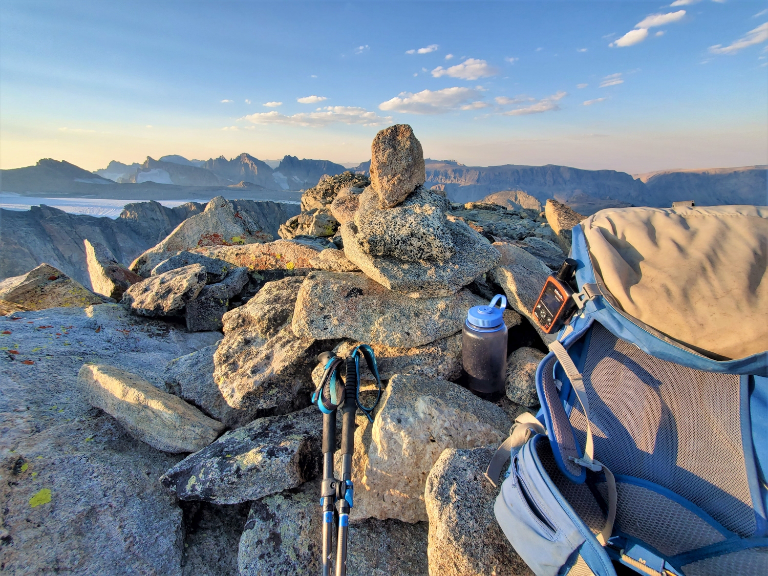
Summit of Jackson Peak, with the massive peneplain ridge between Febbas, North Indian Pass, and Dry Creek Ridge in the background (2020)
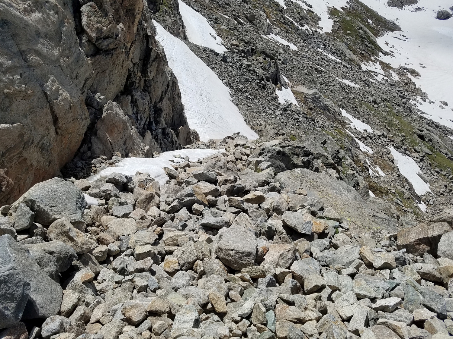
Descending the upper south slopes (2020)
The routefinding is not obvious from above, and paying attention to the terrain on the ascent is a good idea (2020)
This short cliff band provided a short scrambling obstacle (2020)
Descending the ramp-like ledge on the south face of Jackson (2020)
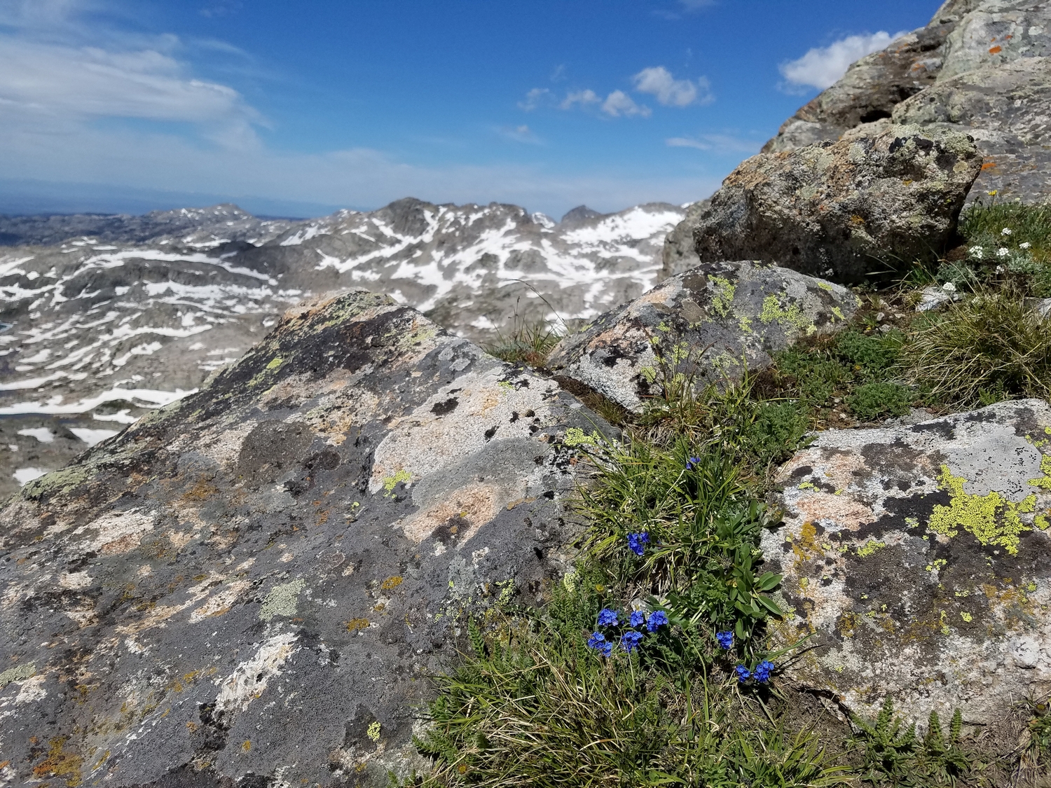
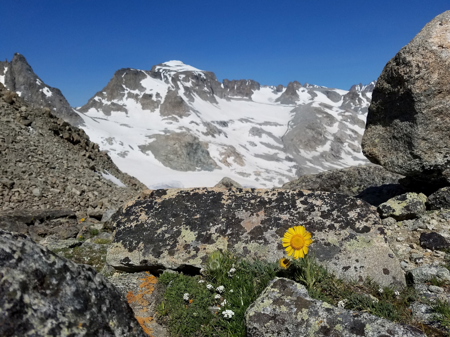
Enjoying the summer wildflowers and pristine mountain views from Jackson Peak (2020)
View back up at Jackson’s south slopes route, the standard way to reach the summit (2020)
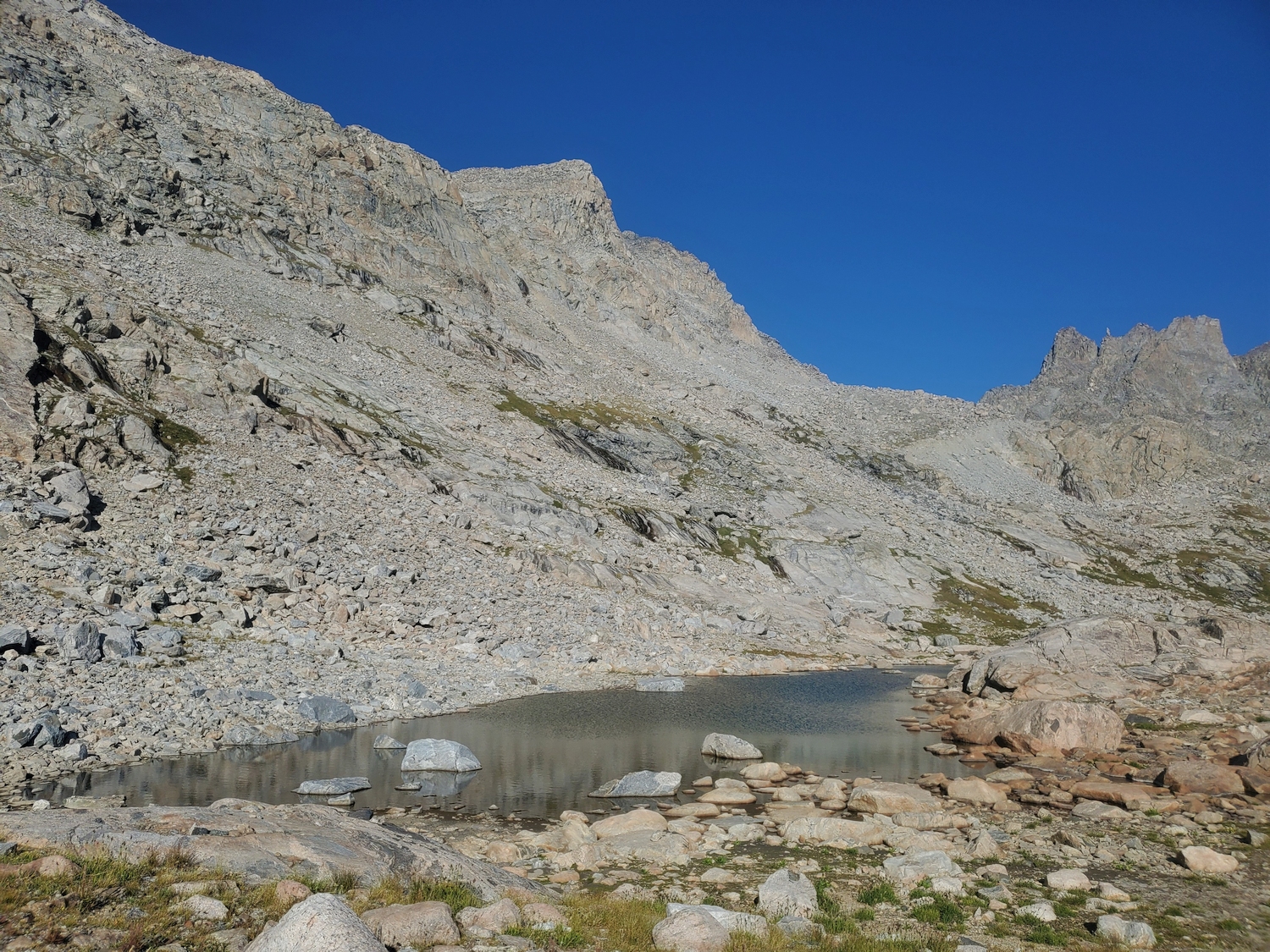
Navigating snowfields and ponds in upper Indian Basin (2020)
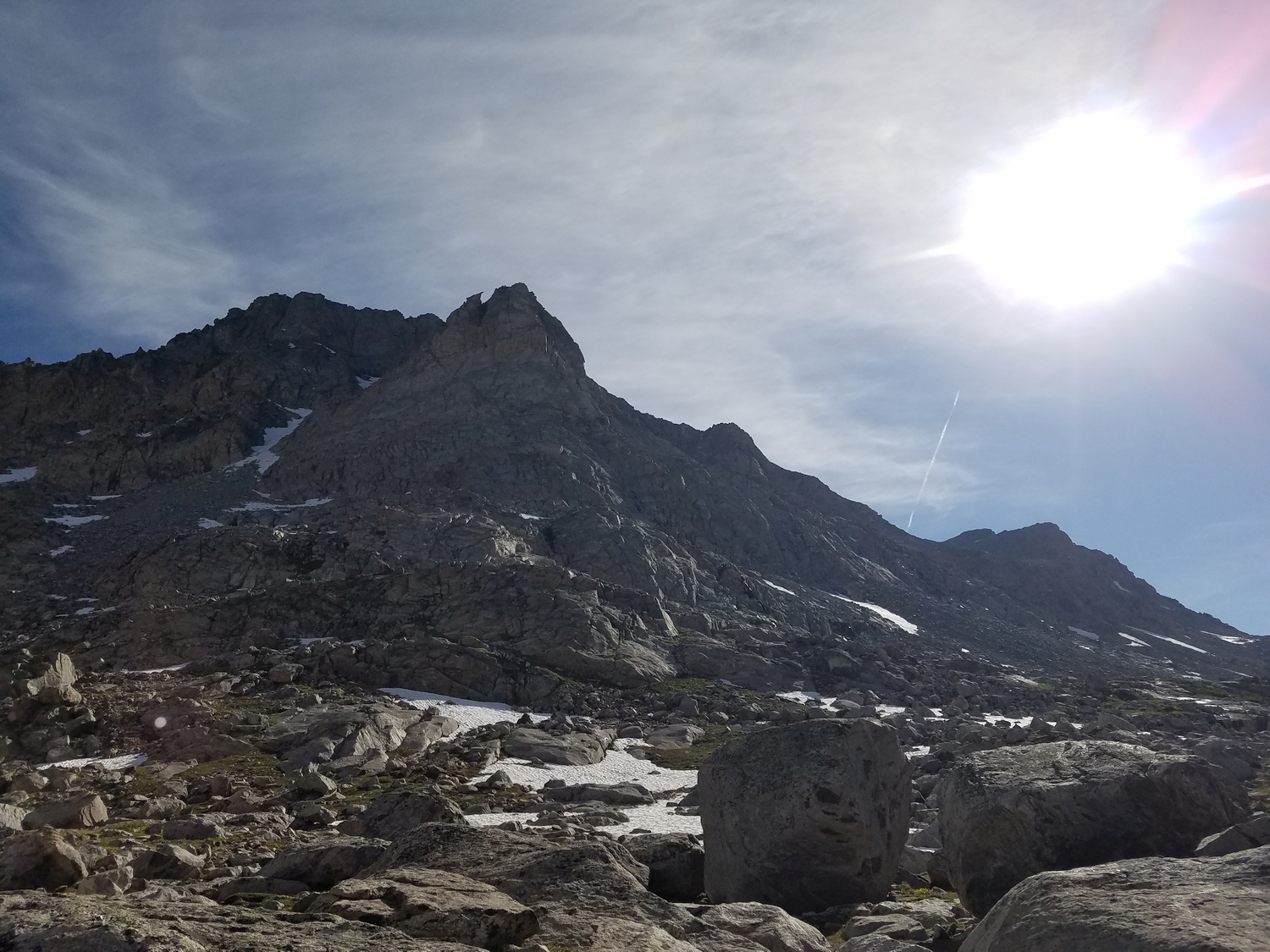
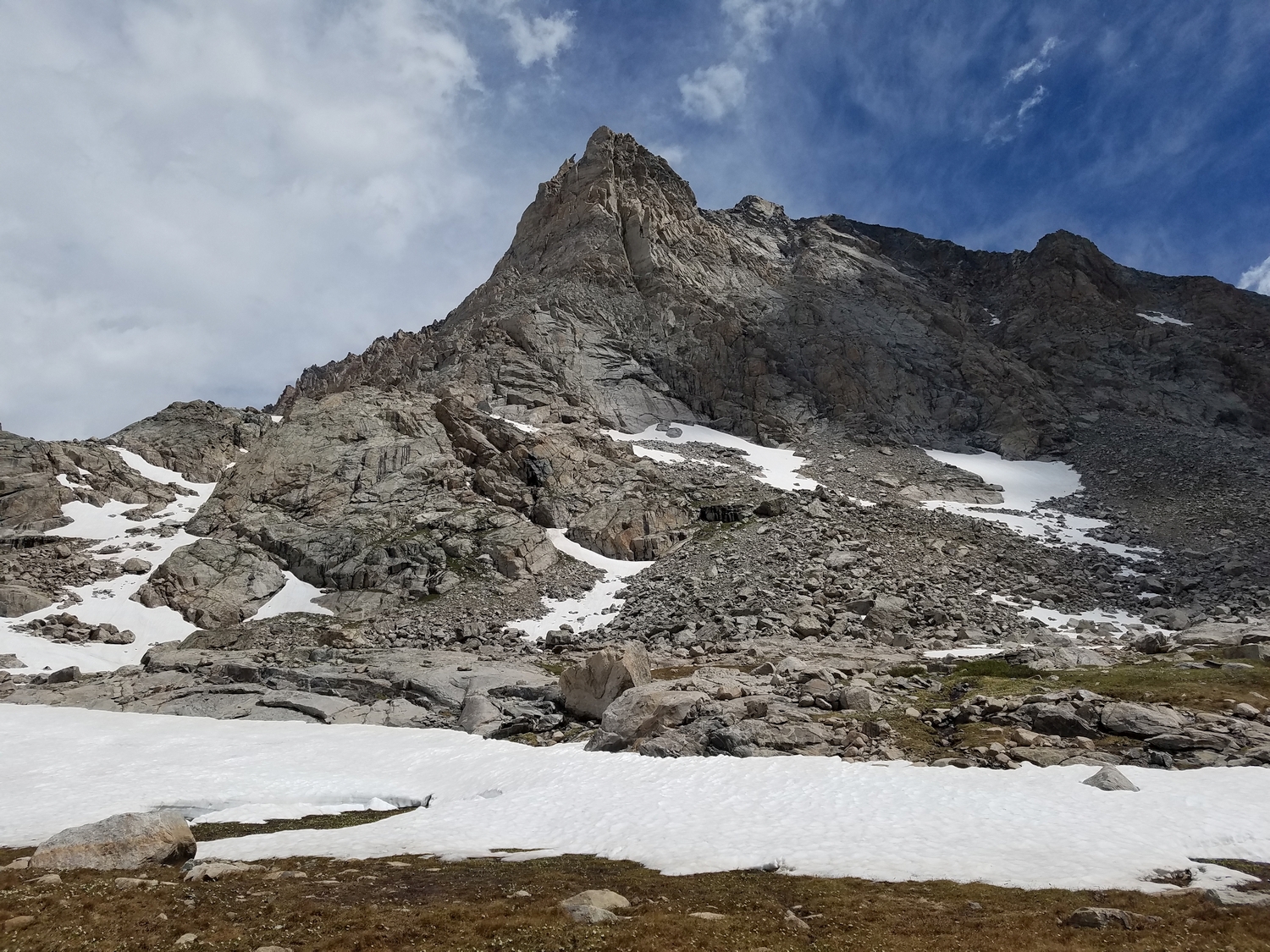
The southwest side of Jackson Peak rises sharply, like a giant flying buttress (2020)
Jackson (left of center) is framed by Fremont Peak (higher 13er on the left) and Elephants Head (12er on the right) above Island Lake (2020)
Despite blending into Fremont behind, this view of Jackson from Knife Point shows a good overview of the south slopes route (2020)
Jackson Peak’s wild southeast side with the Bull Lake Glaciers shining in the morning sun (2020)
Closeup of Jackson Peak from Bete Noire (2020)
Postcard view of Jackson and an alpine sunflower near Alpine Lakes Pass (2020)
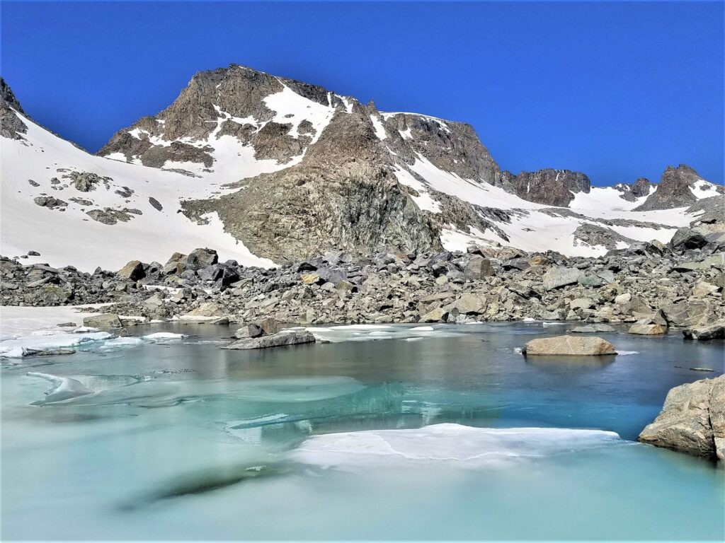
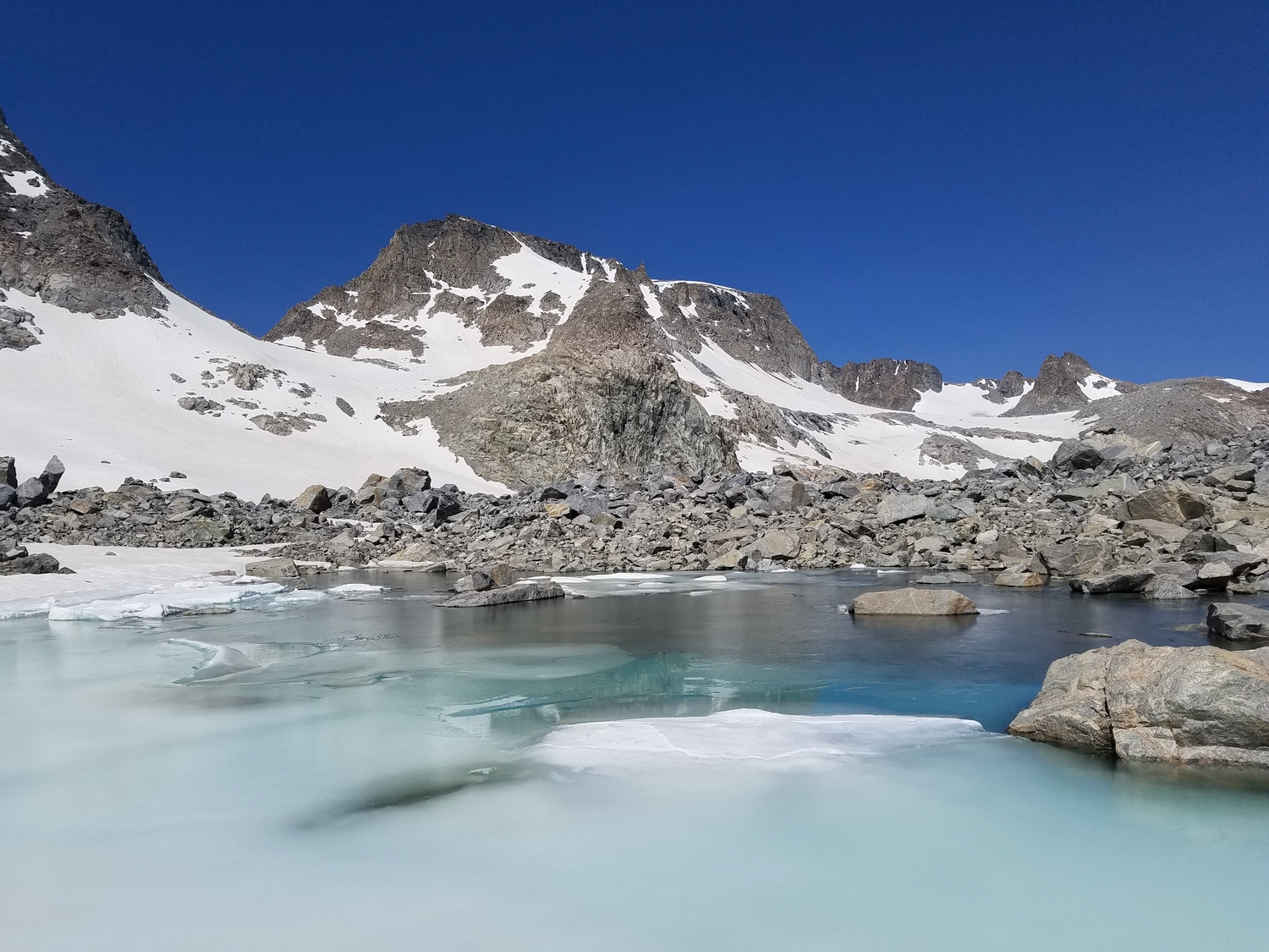
Jackson Peak above a glacial meltwater pond at the terminus of the Knife Point Glacier (2020)
The classic Indian Basin view, with Fremont on the left and Jackson on the right (2020)
I dropped my pack on the upper slopes of Jackson and collapsed for a bit, then doggedly continued one step at a time, though I was barely able to maintain a walking pace.
Jackson Peak rears its head. Despite appearances, Jackson is one of the easier 13ers, and I’m hoping to tag it this afternoon.
At this point, I’ve decided to go for it, so after racing up the Indian Pass Trail a short ways I cut off towards Jackson.
That jagged ridge on the left is Knife Point Mountain. The summit is one of the farthest-right points.
On the way up Jackson, I stopped at this sweet little waterfall to refill my bottles and take a mini shower.
This diagonal ramp system provides a class 2/3 route from Indian Basin onto the upper slopes of Jackson.
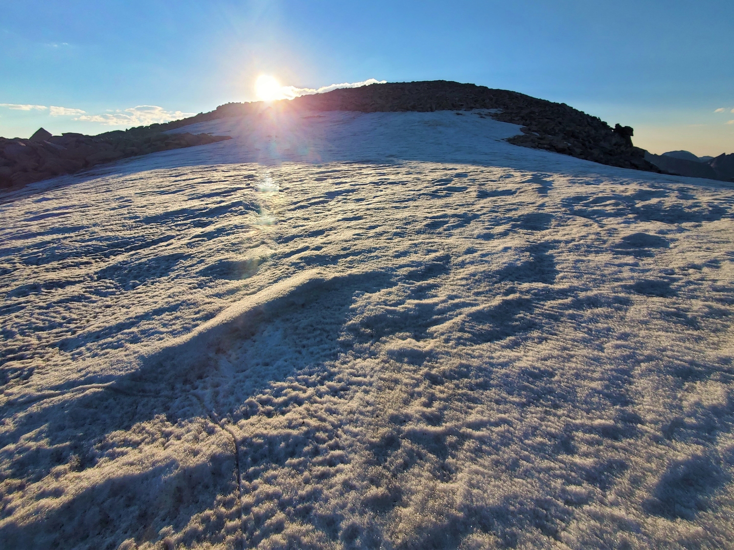
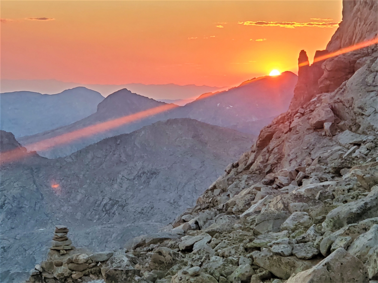
The sun hovers on the horizon as I race up the summit snowfield. It’s not quite time for sunset, but this side of the mountain is slightly east facing.
The summit crest comes into sight. I feel strong and enthusiastic as I approach the summit, a stark contrast to my exhaustion and misery on this peak in August.
It’s always fun when your shadow stretches nearly to the horizon. Smoke from the Washakie Park Fire spreads out in the distance.
The summit of Jackson Peak is a gentle plateau on this side, but it drops off quite suddenly to the north.
Evening light makes the granite domes of Indian Basin look like some sort of fantasy land.
Fremont Peak as seen from Jackson.
Telephoto view of the central 13er cluster. Left to right, the most obvious peaks are Sacagawea, Woodrow Wilson, Helen, Gannett, and Warren.
I made it back to the top of the gully/ramp system just as the sun slid below the horizon.
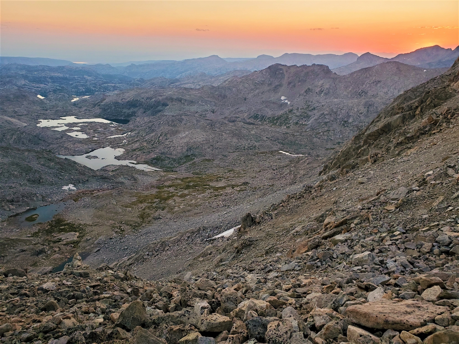
Descending into Indian Basin as twilight falls. After all the slowdowns today, I’m happy to get most of the way down before needing my headlamp.
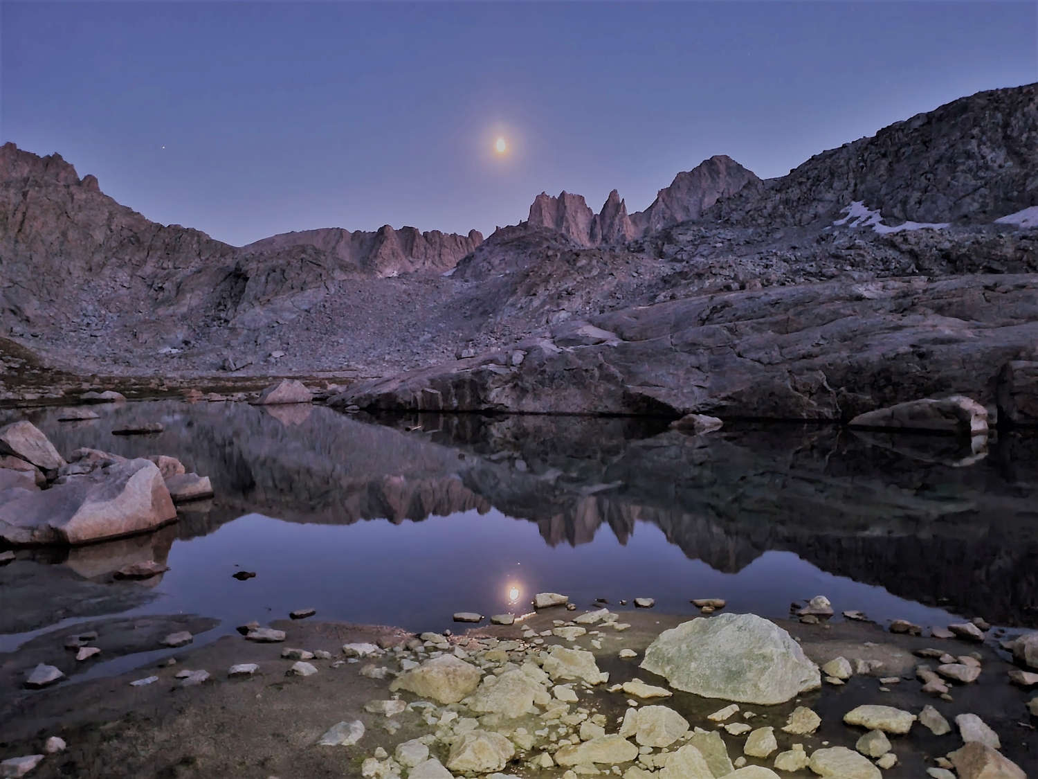
Twilight and moon rise over Harrower.
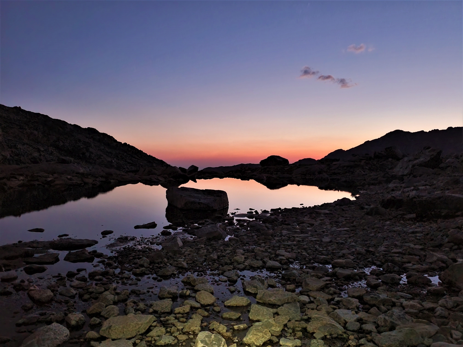
The evening’s last glow dissipates on the horizon as I arrive back at the Indian Pass Trail. There was a bit of miscommunication and camp is slightly lower than I hoped, but it’s a good trail and I only have a mile to go.
DISCLAIMER: Mountain climbing is dangerous. Activities described on this page may lead to serious injury, death, and property damage. This webpage is presented with no warranty express or implied. Pictures and text are for entertainment purposes only. No commercial use allowed; all rights reserved.