Introduction
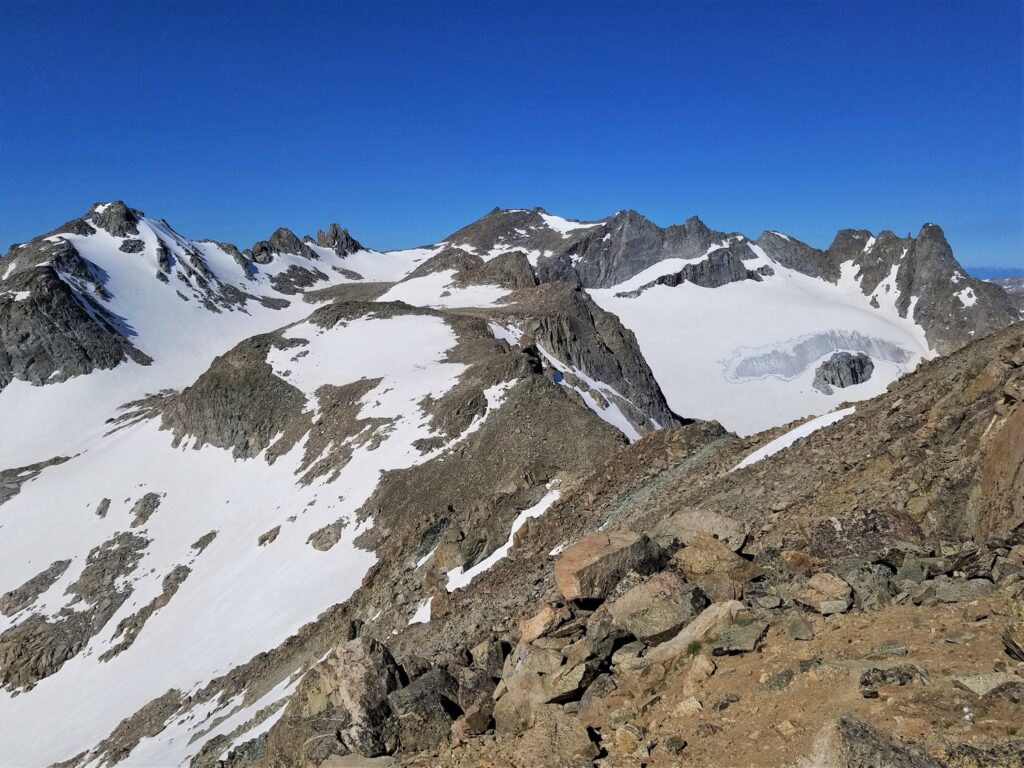
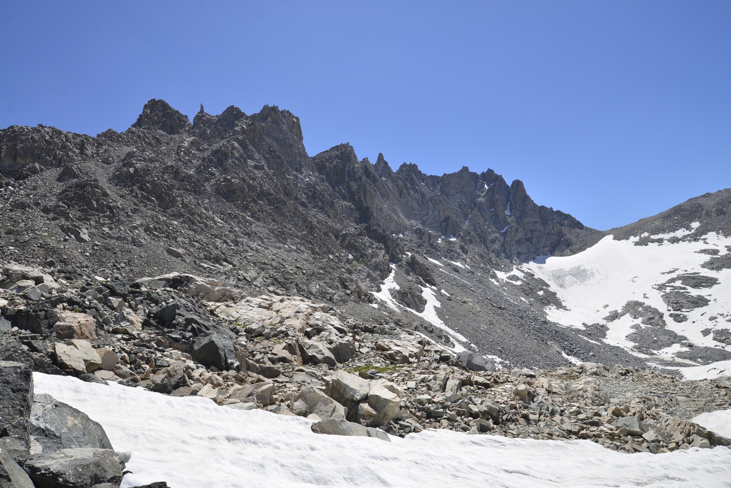
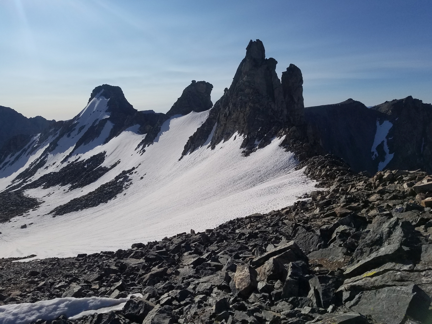
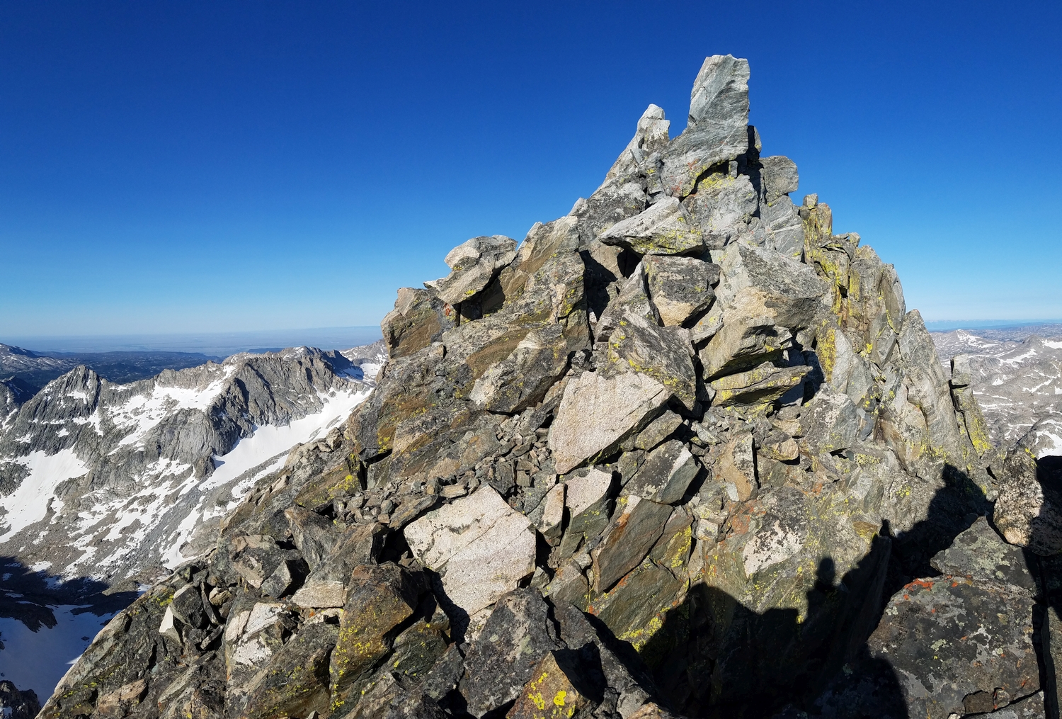
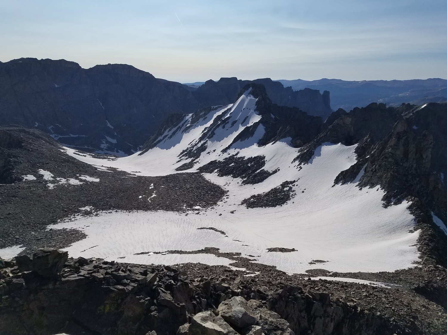
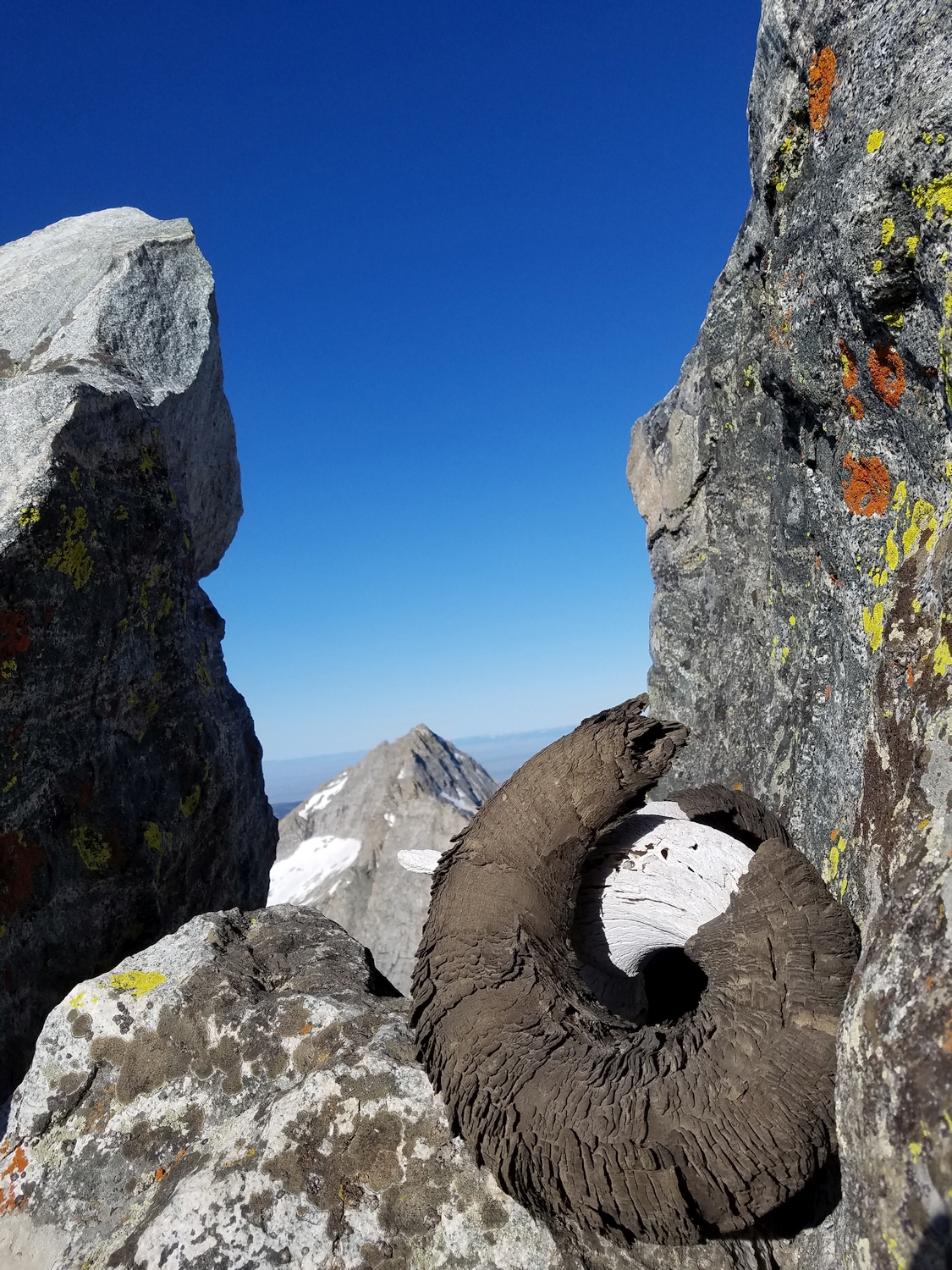
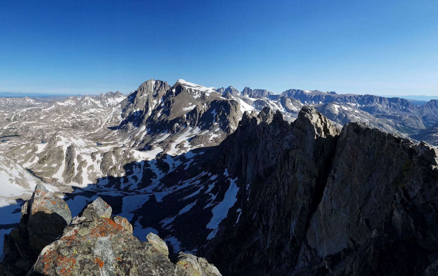
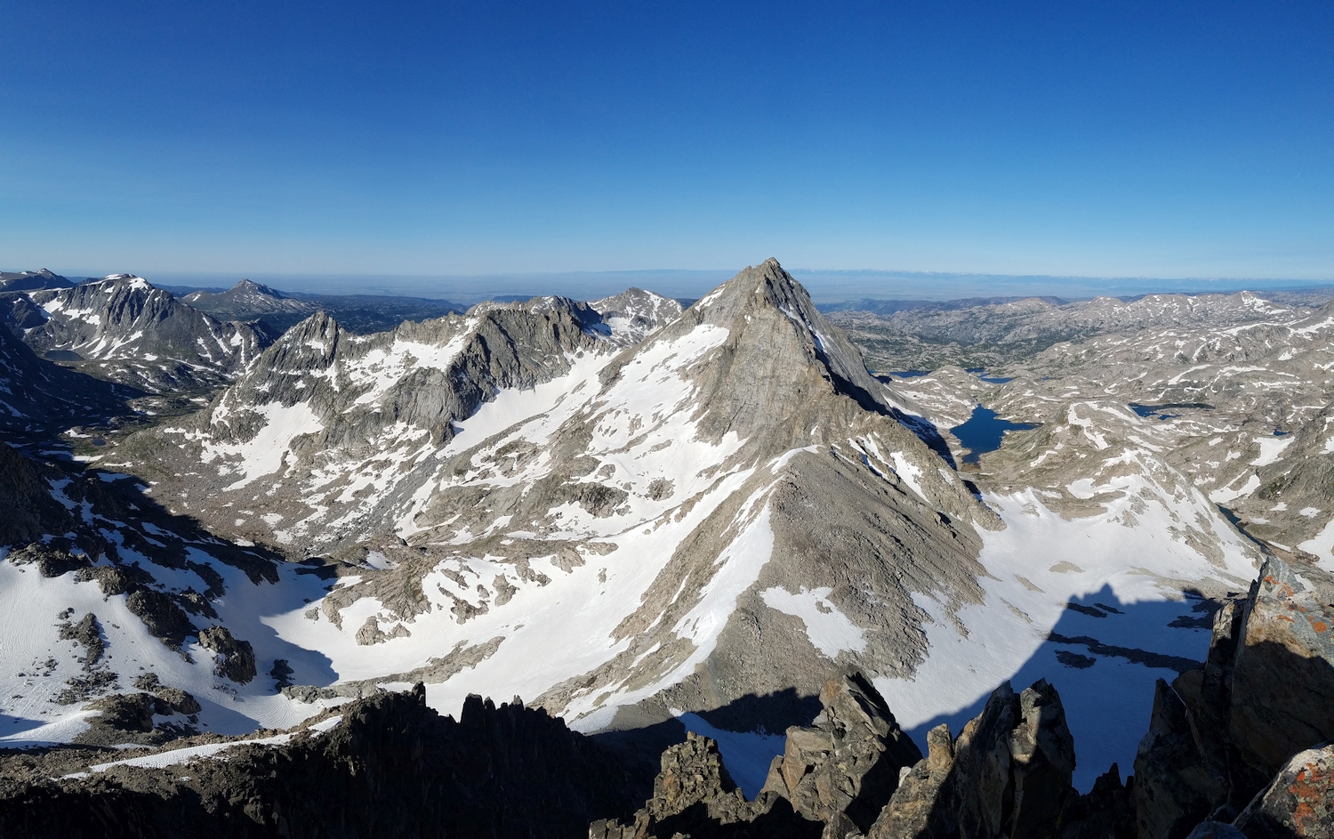
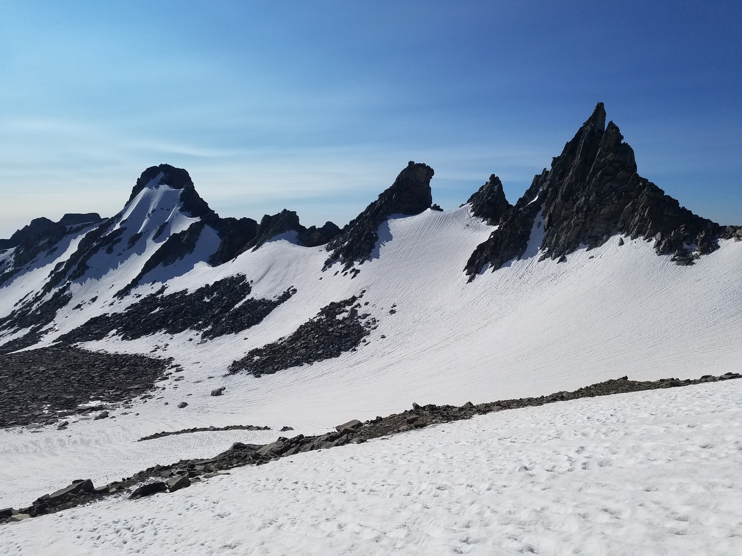
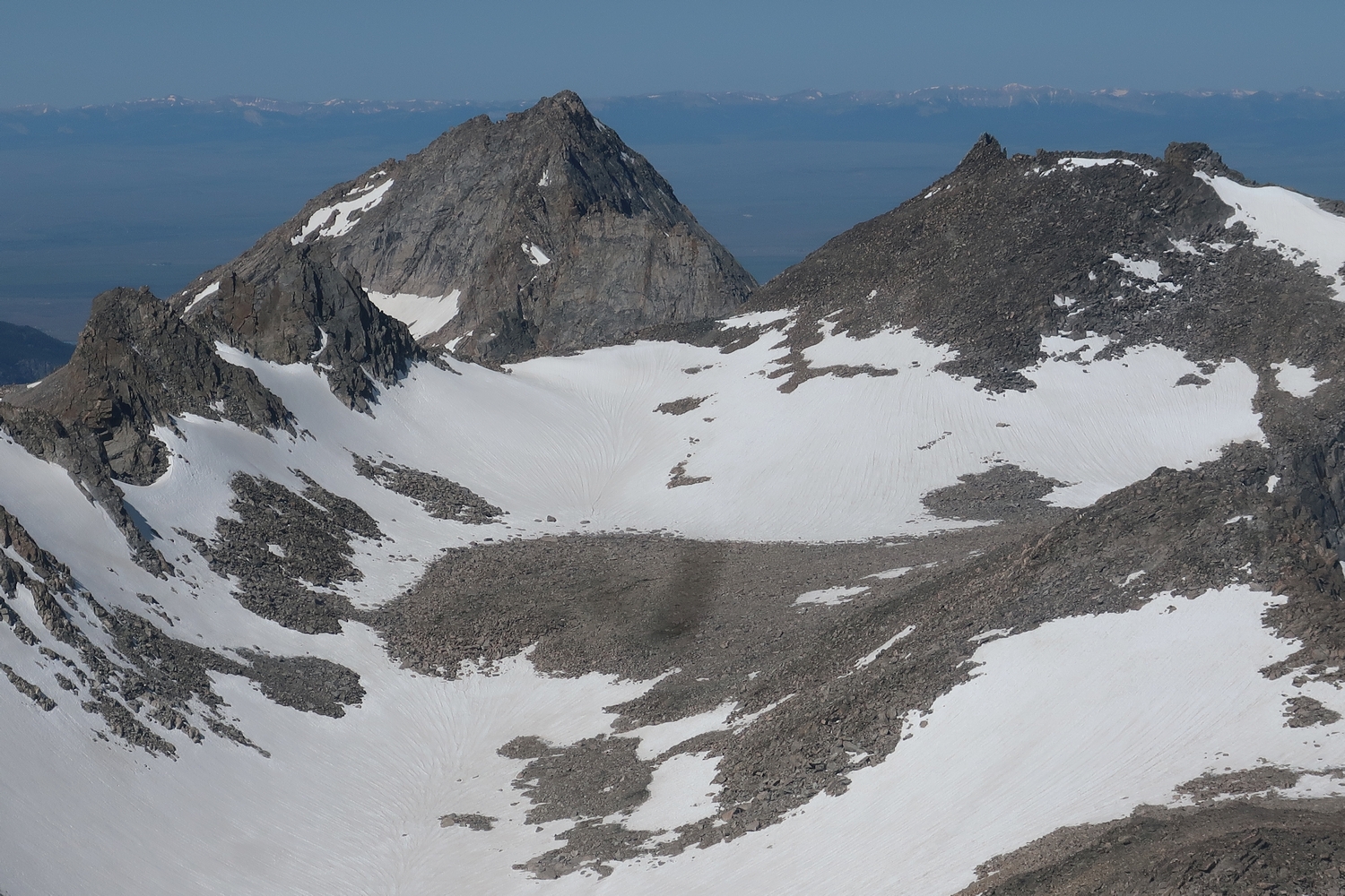
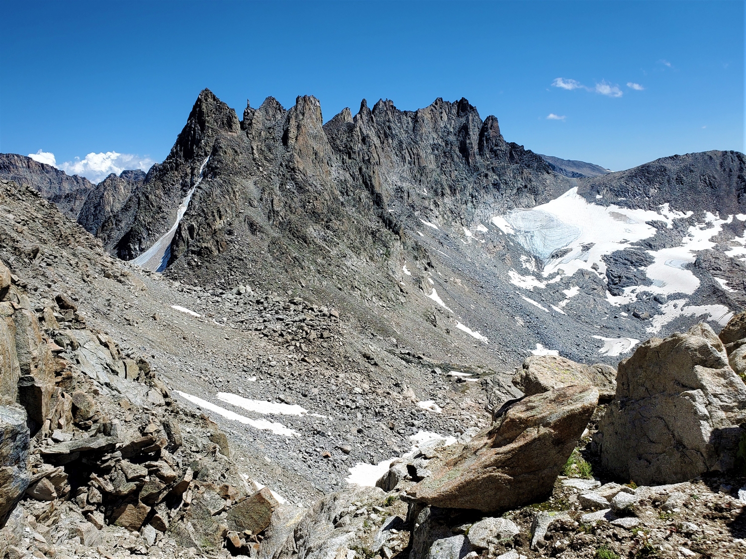
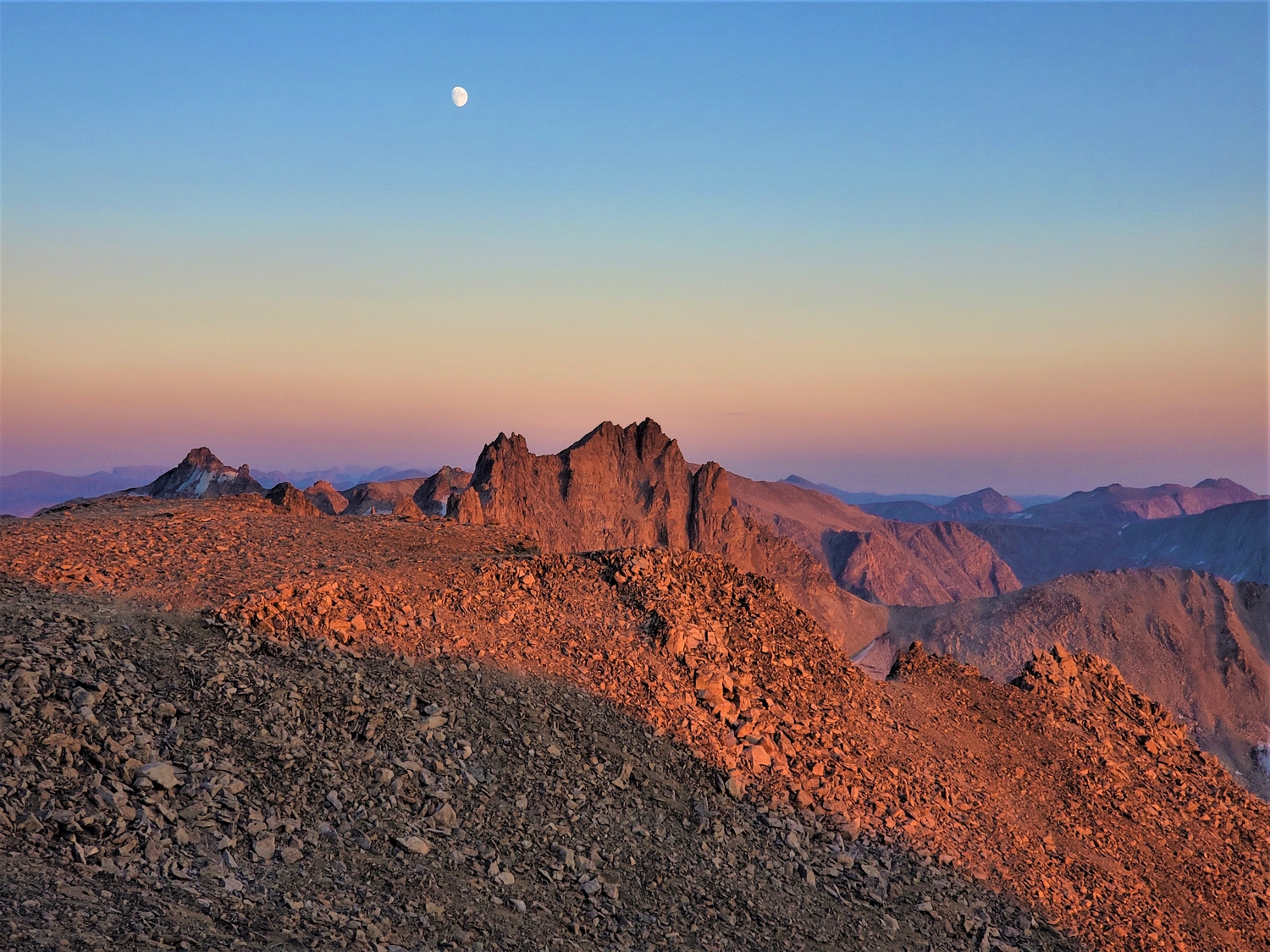
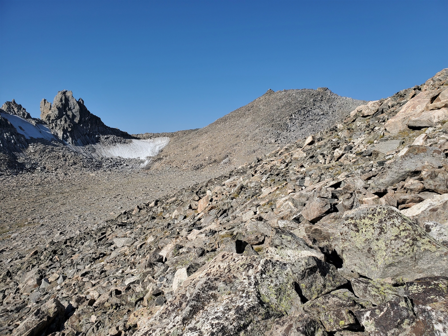
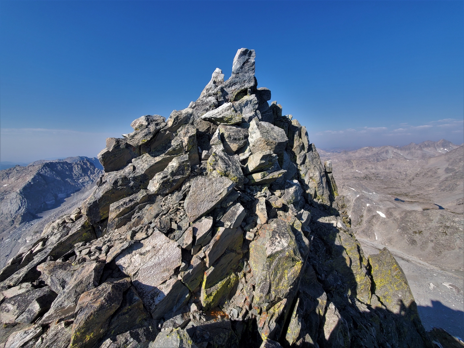
Long considered the lowest of the Wyoming 13ers with a map elevation of 13,001 ft., LiDAR analysis has shown that Knife Point Mountain is considerably taller thanks to its incredibly sharp summit spire. This peak’s complex geometry includes a string of pinnacles stretching south along the Continental Divide from Indian Pass, a northeast-facing cirque harboring the Knife Point Glacier, a hanging valley above Alpine Lakes Pass, and a dramatically snow-clad subpeak called Nebraska Point, which, after LiDAR analysis, turned out to be a ranked 12er in its own right. The summit of Knife Point Mountain itself is spectacular, featuring a triangular talus cone which culminates in a singular block standing on the edge of a precipice.
General Considerations
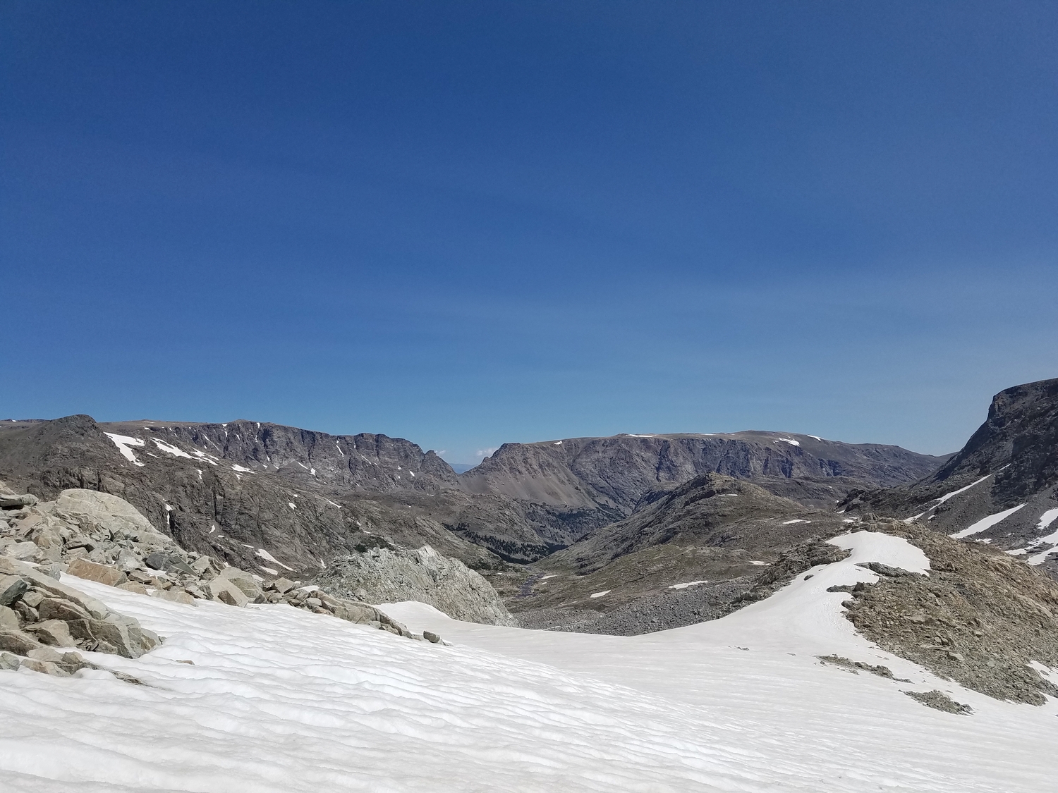
Climbing Knife Point Mountain is complicated. This part of the Wind River Range is most easily approached from Elkhart Park, but the peak is most easily climbed from the other side of the Divide via Alpine Lakes Pass, making for a long day if camping in the Indian Basin or Island Lake environs. Alternatively, one could backpack over Indian Pass and camp in upper Knife Point Creek to enable a more direct summit day, but this itinerary usually involves at least a two-day approach.
Route 1: Northeast Ridge – Class 3, Mellow Snow
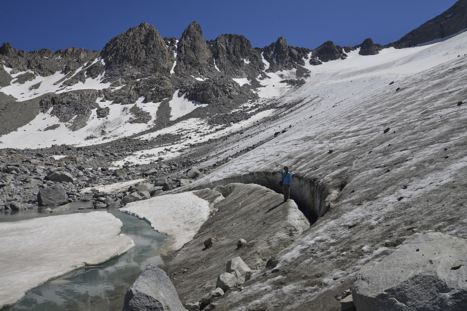
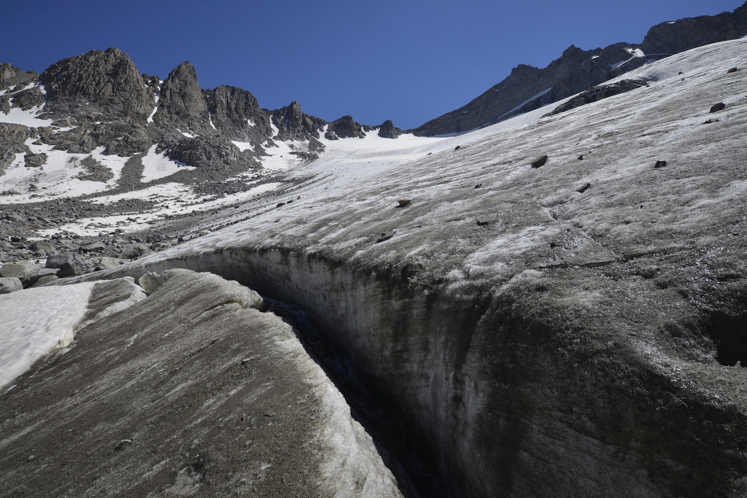
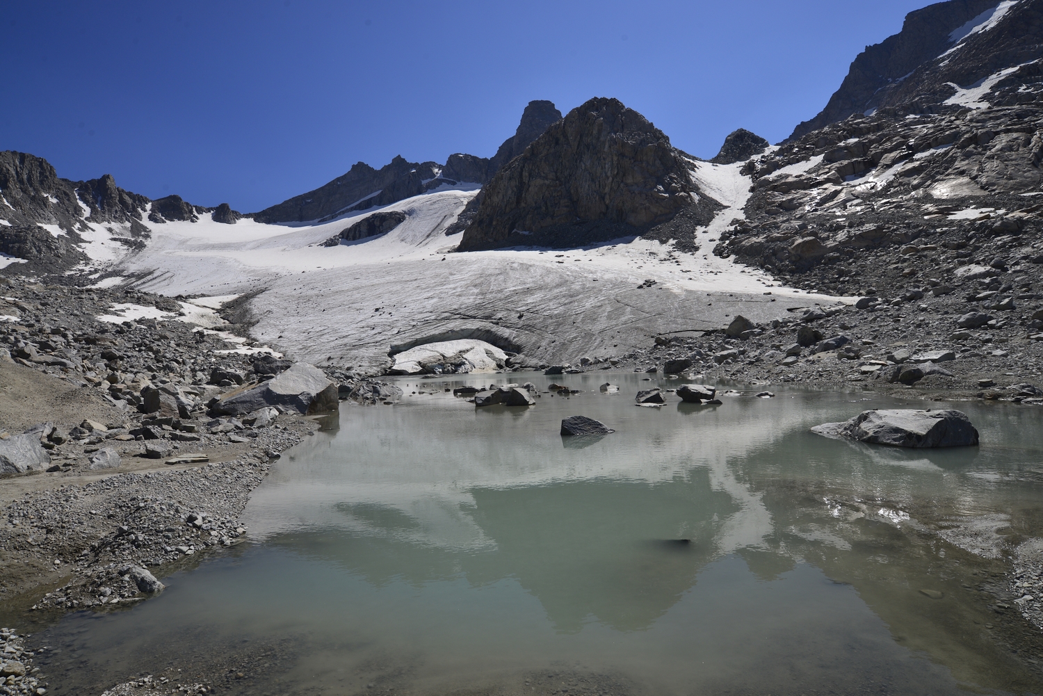
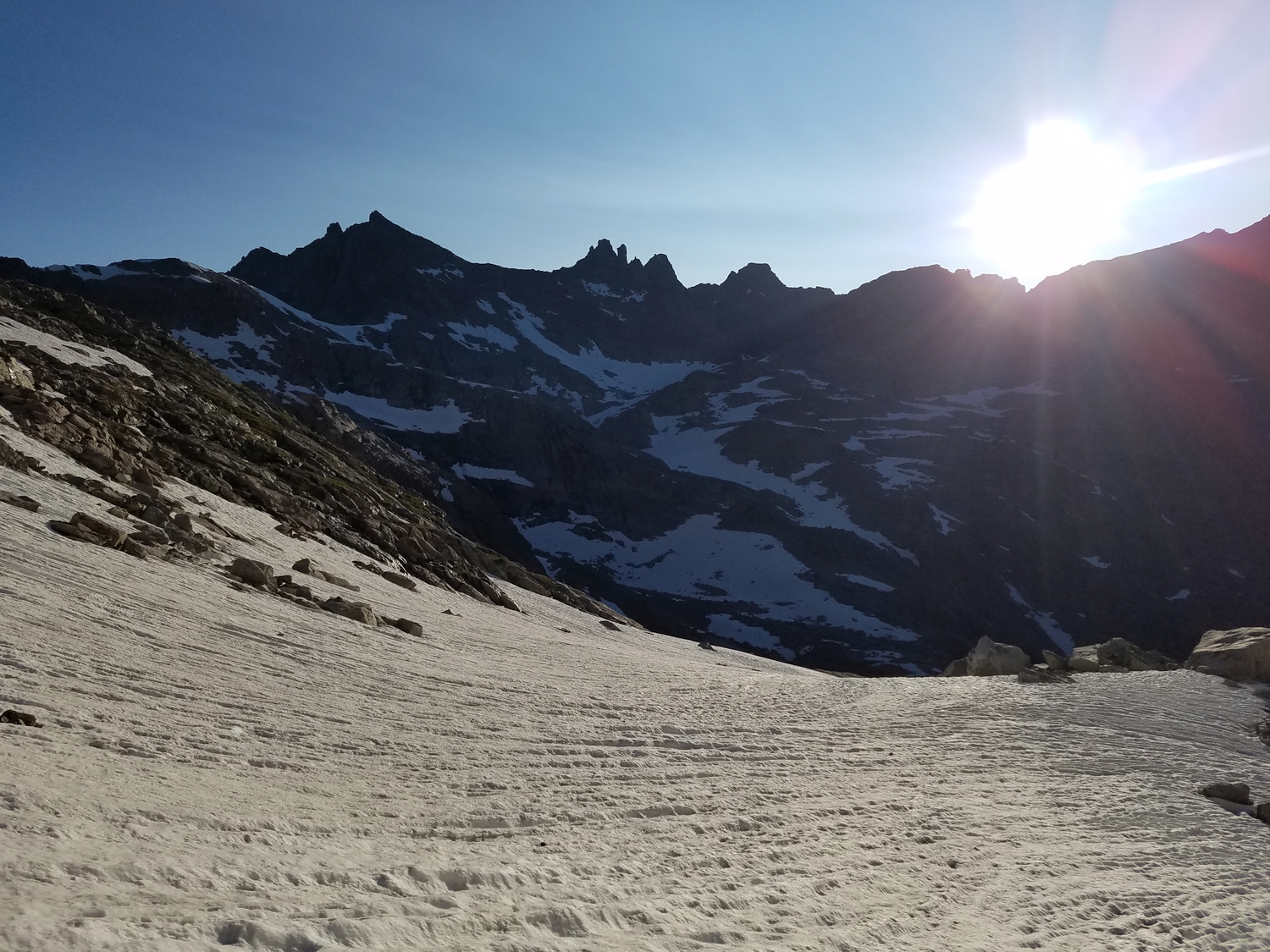
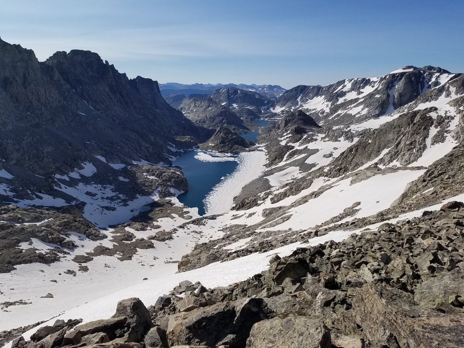
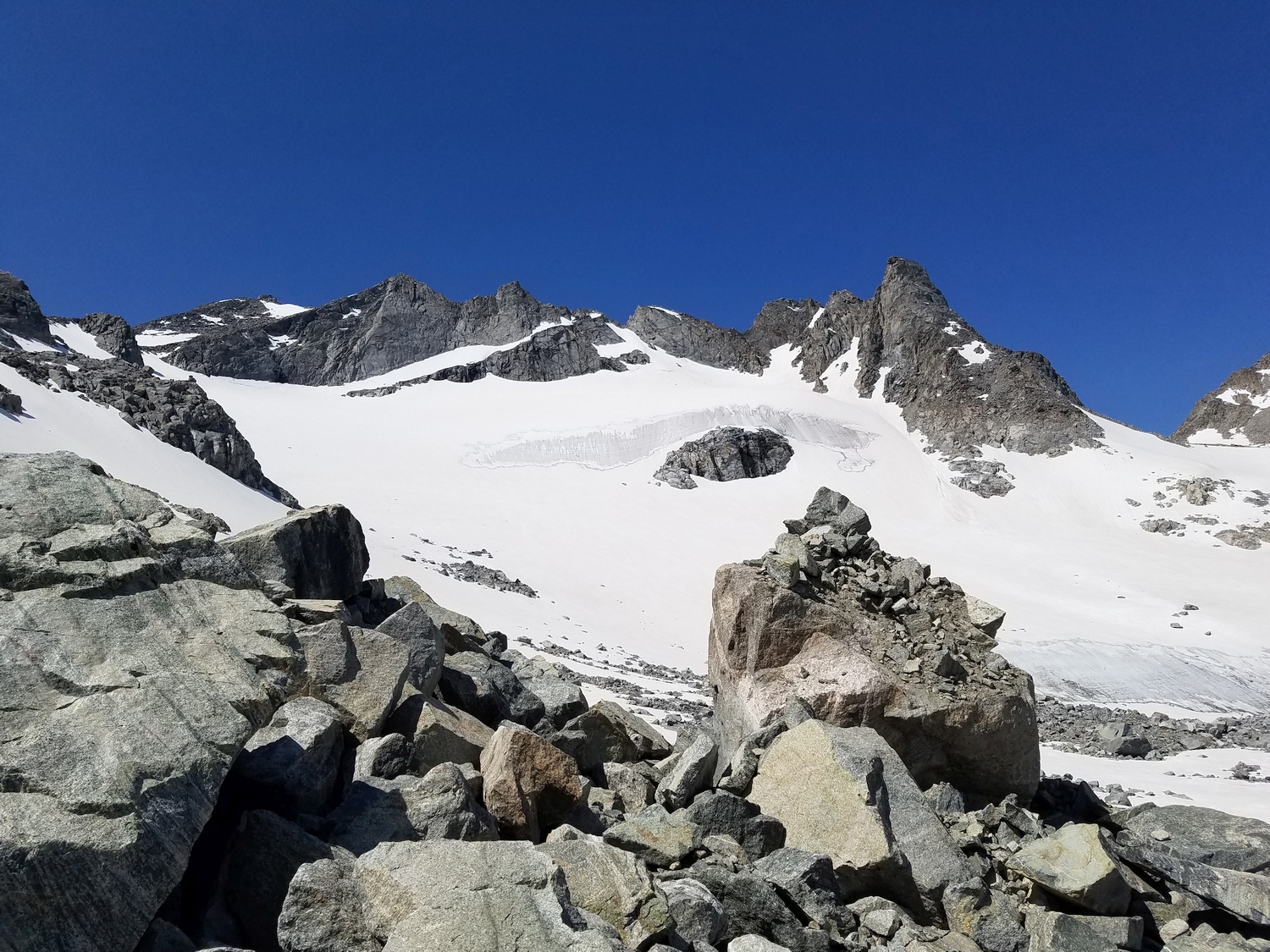
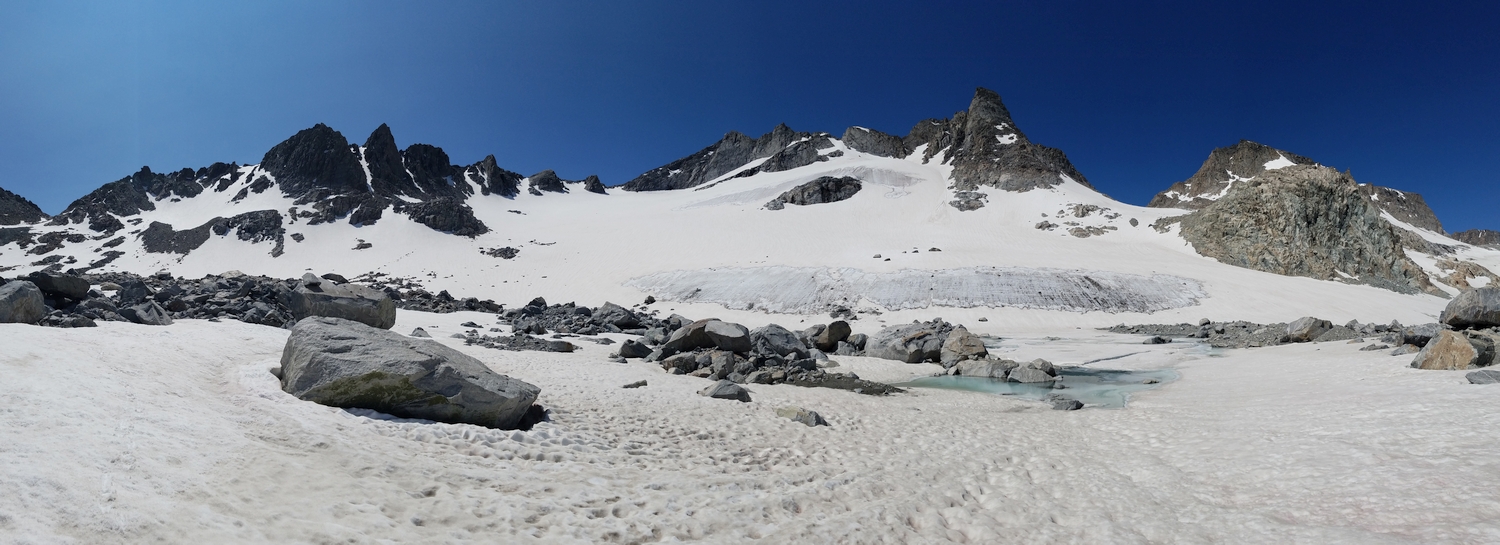
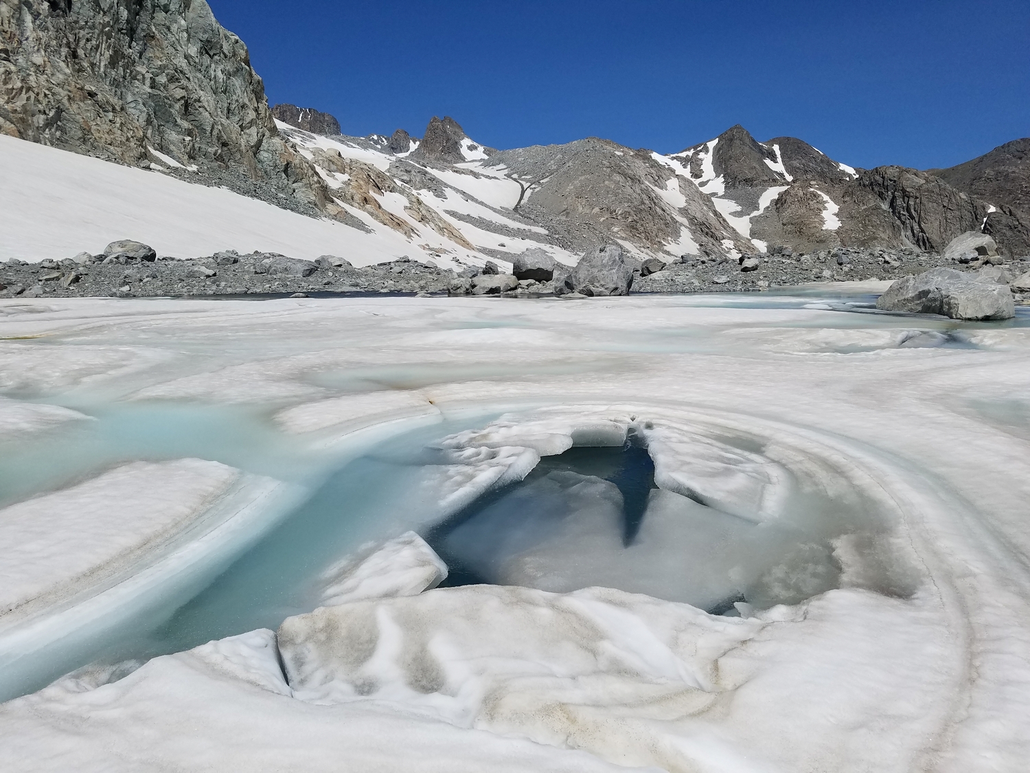
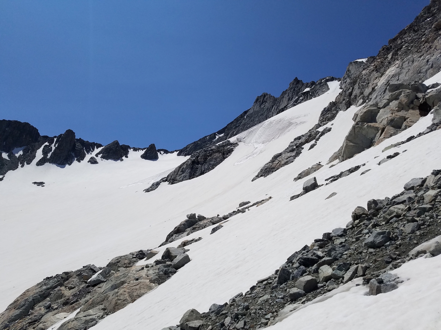
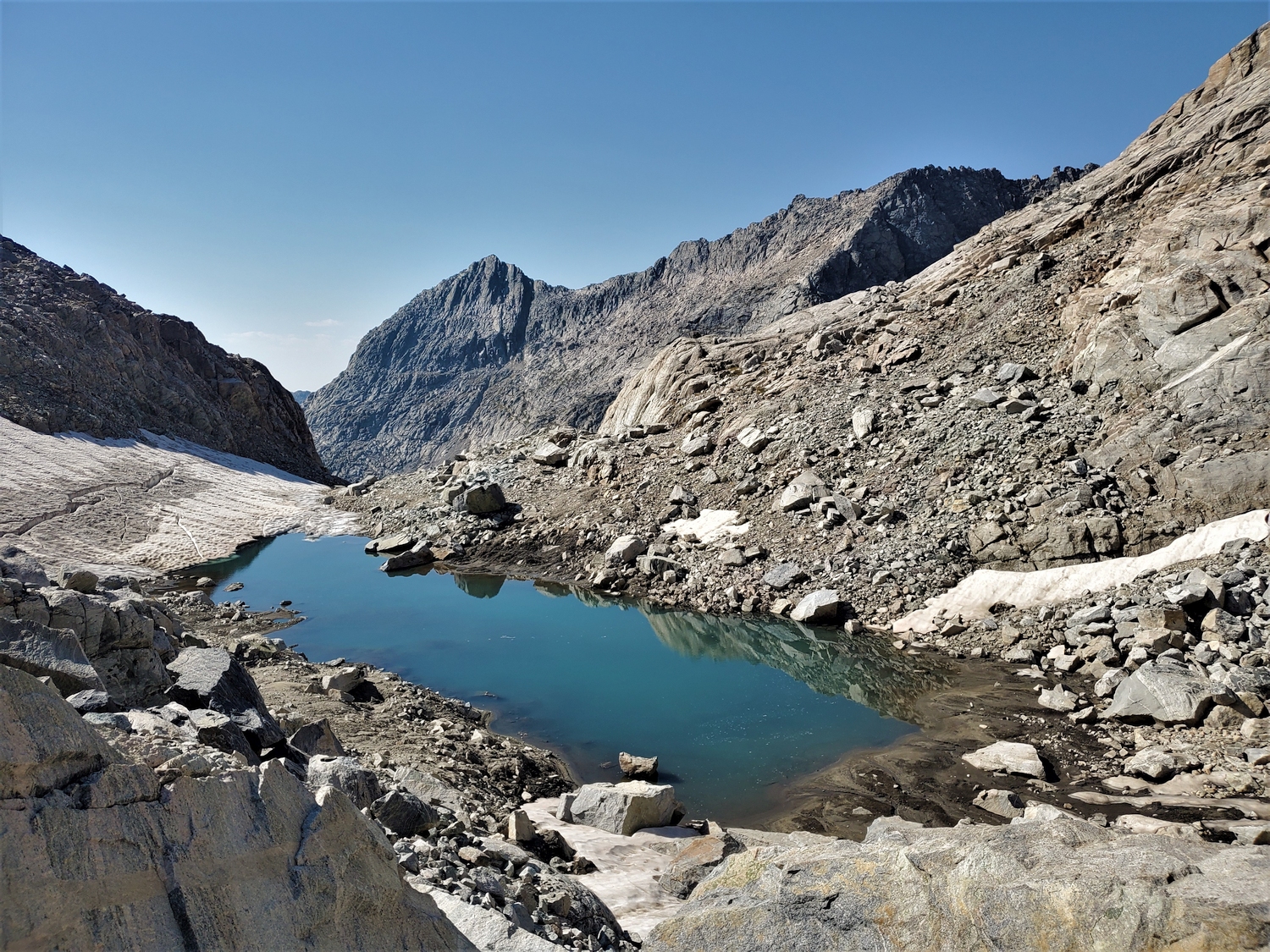
The most arduous part of this route is getting to Alpine Lakes Pass, the unofficial name for the col between the Knife Point Glacier and Lake 11335 in the Alpine Lakes Valley. As part of a longer backpacking trip to the Middle or North Fork of Bull Lake Creek, you could ascend talus directly to the pass from either side.
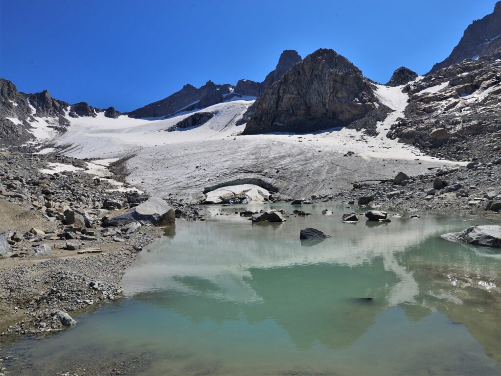
Alternatively, coming from the Island Lake region, most climbers follow the Indian Pass Trail to Indian Pass, then descend and cross the low-angled (though possibly crevassed) slopes of the Knife Point Glacier, negotiate part of its moraine, and re-ascend the north side of Alpine Lakes Pass.
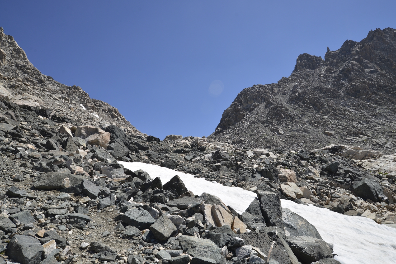
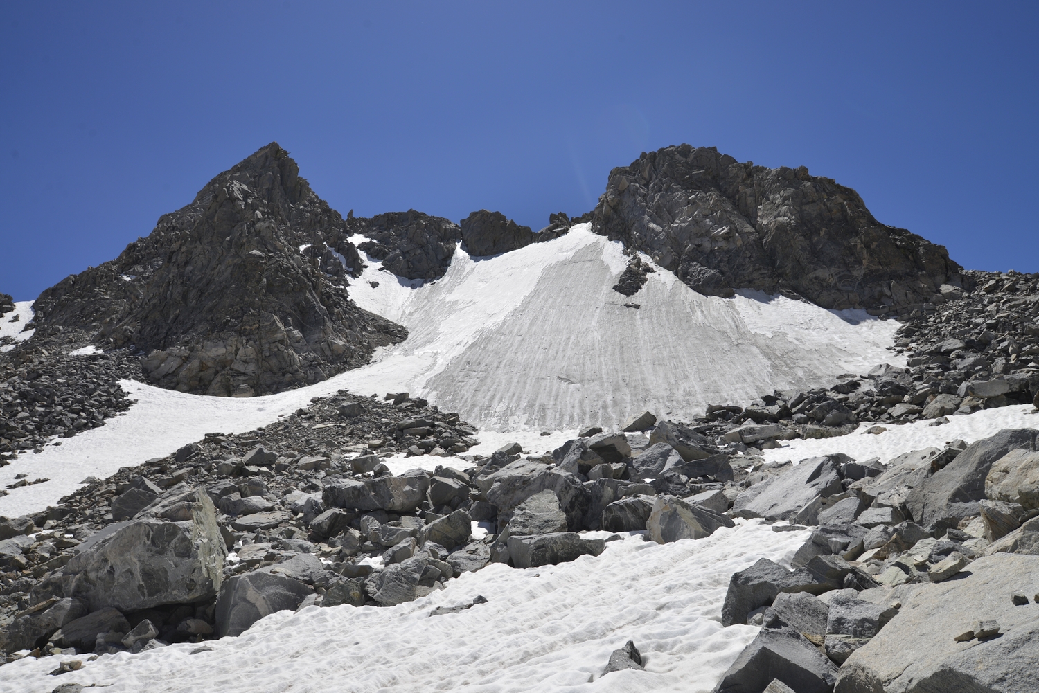
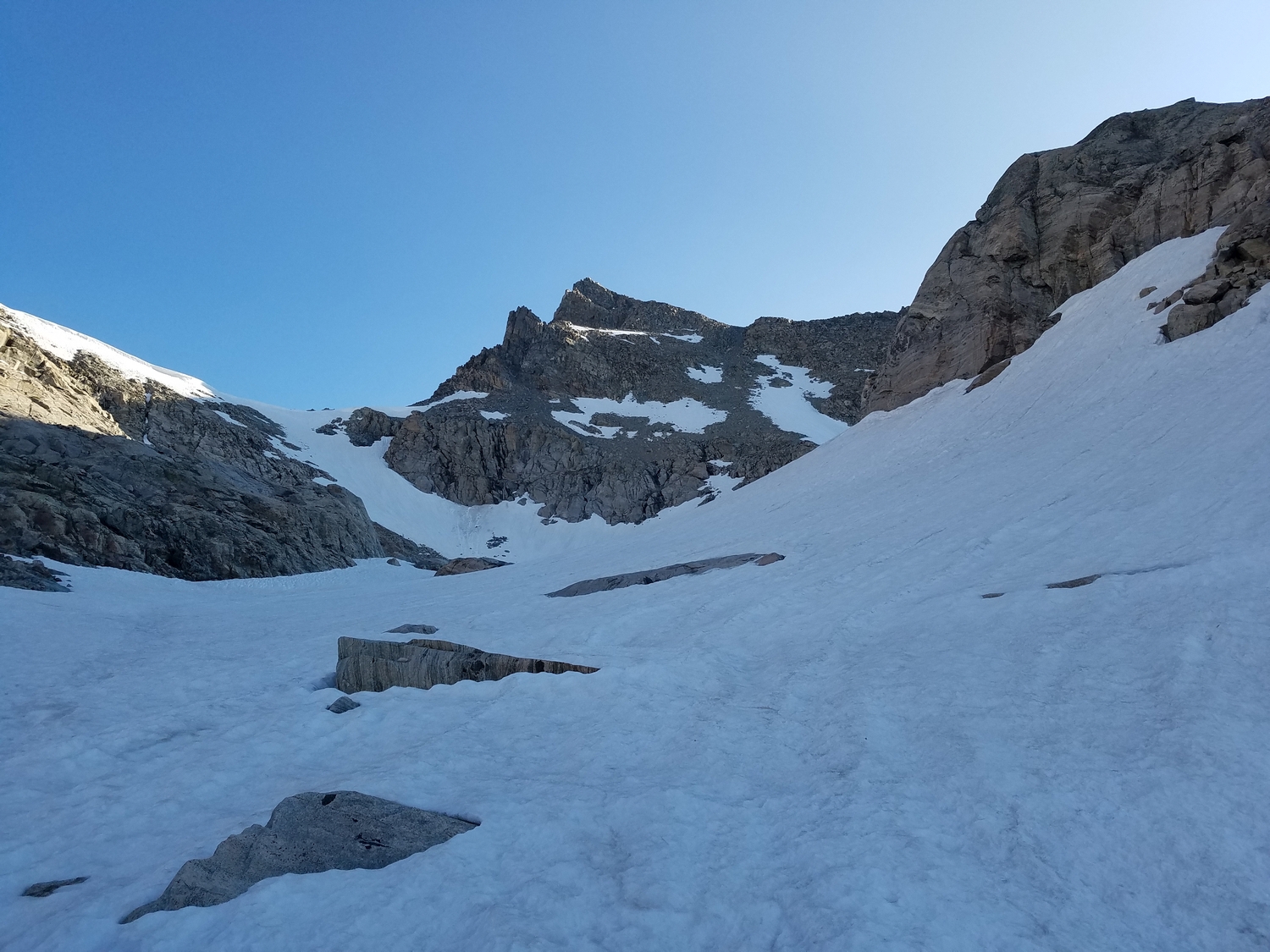
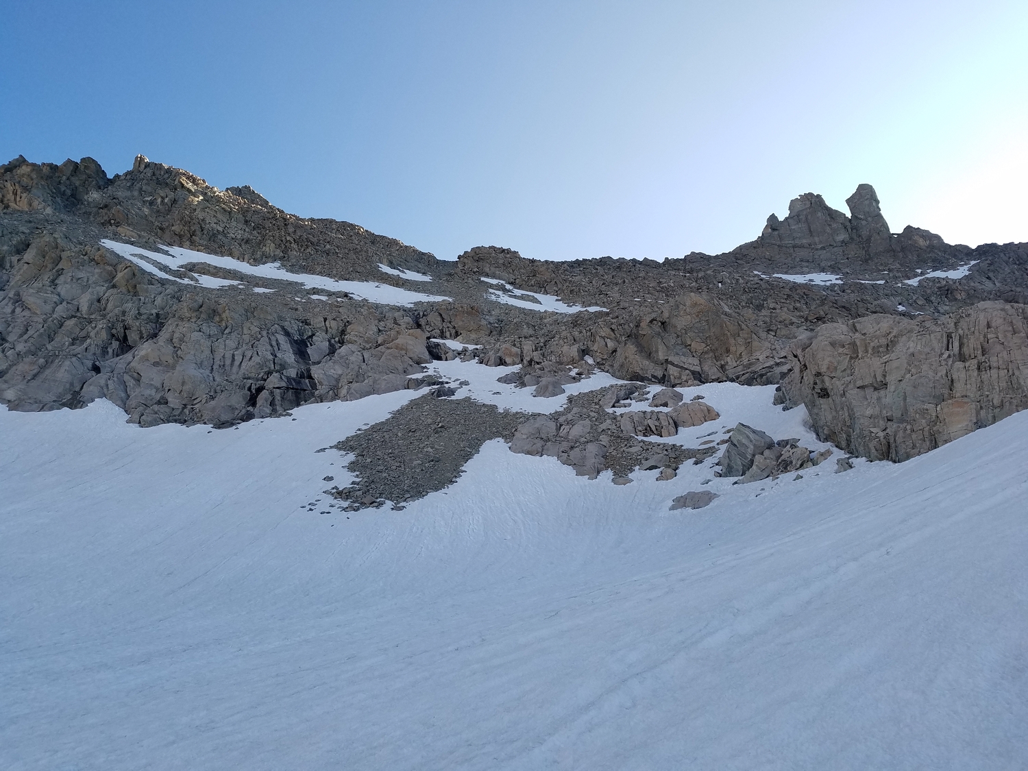
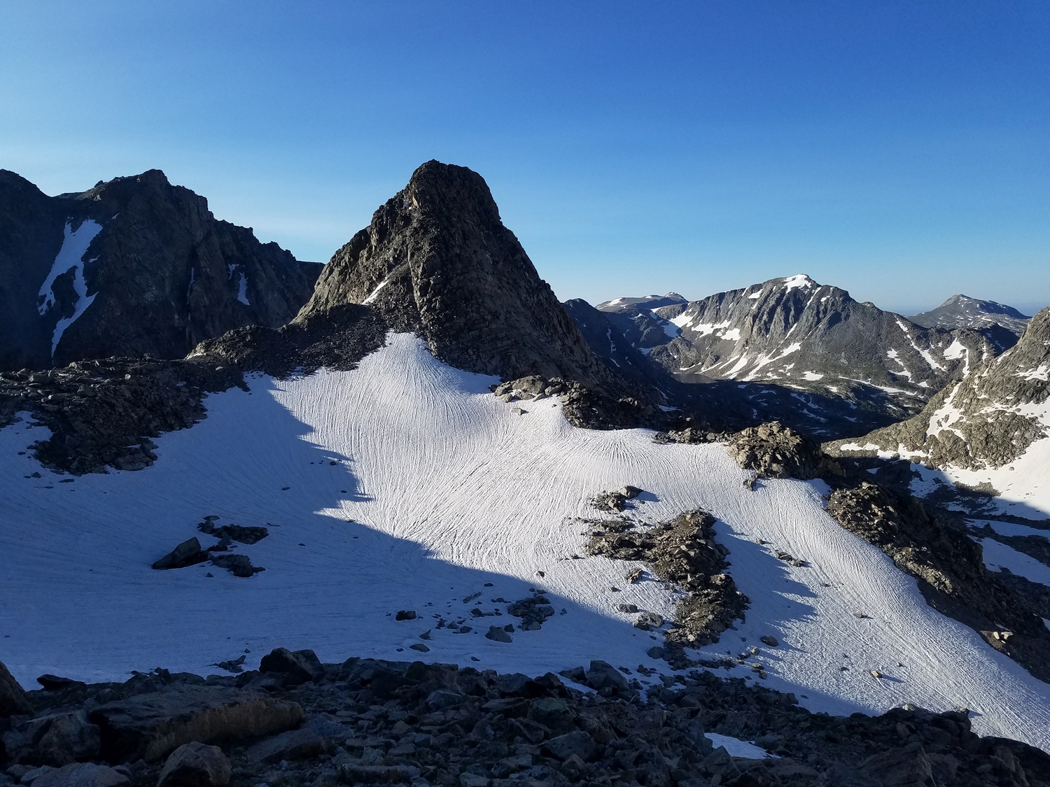
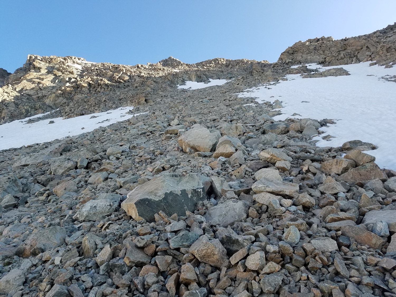
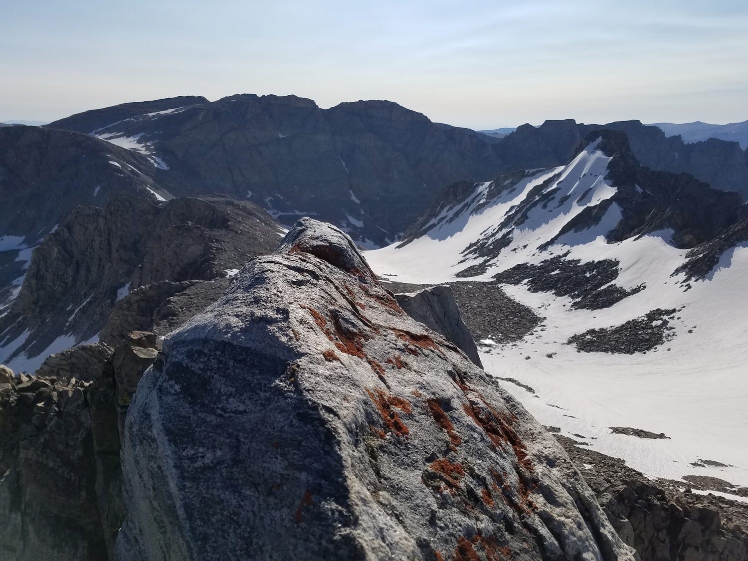
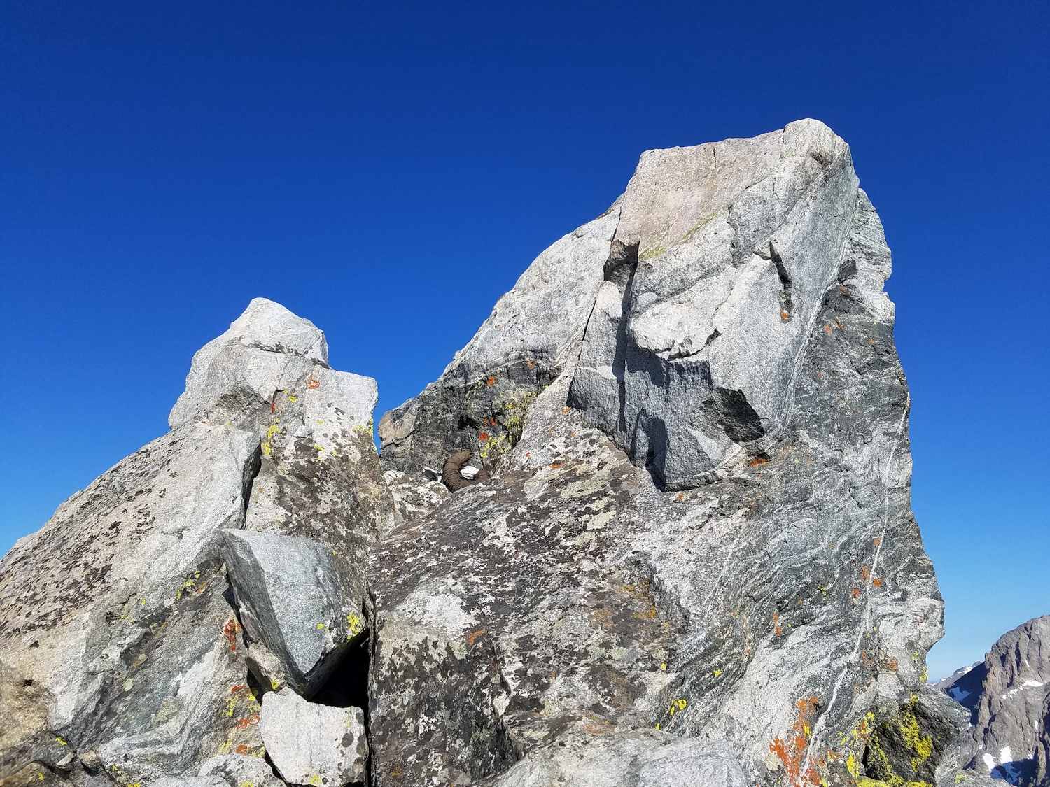
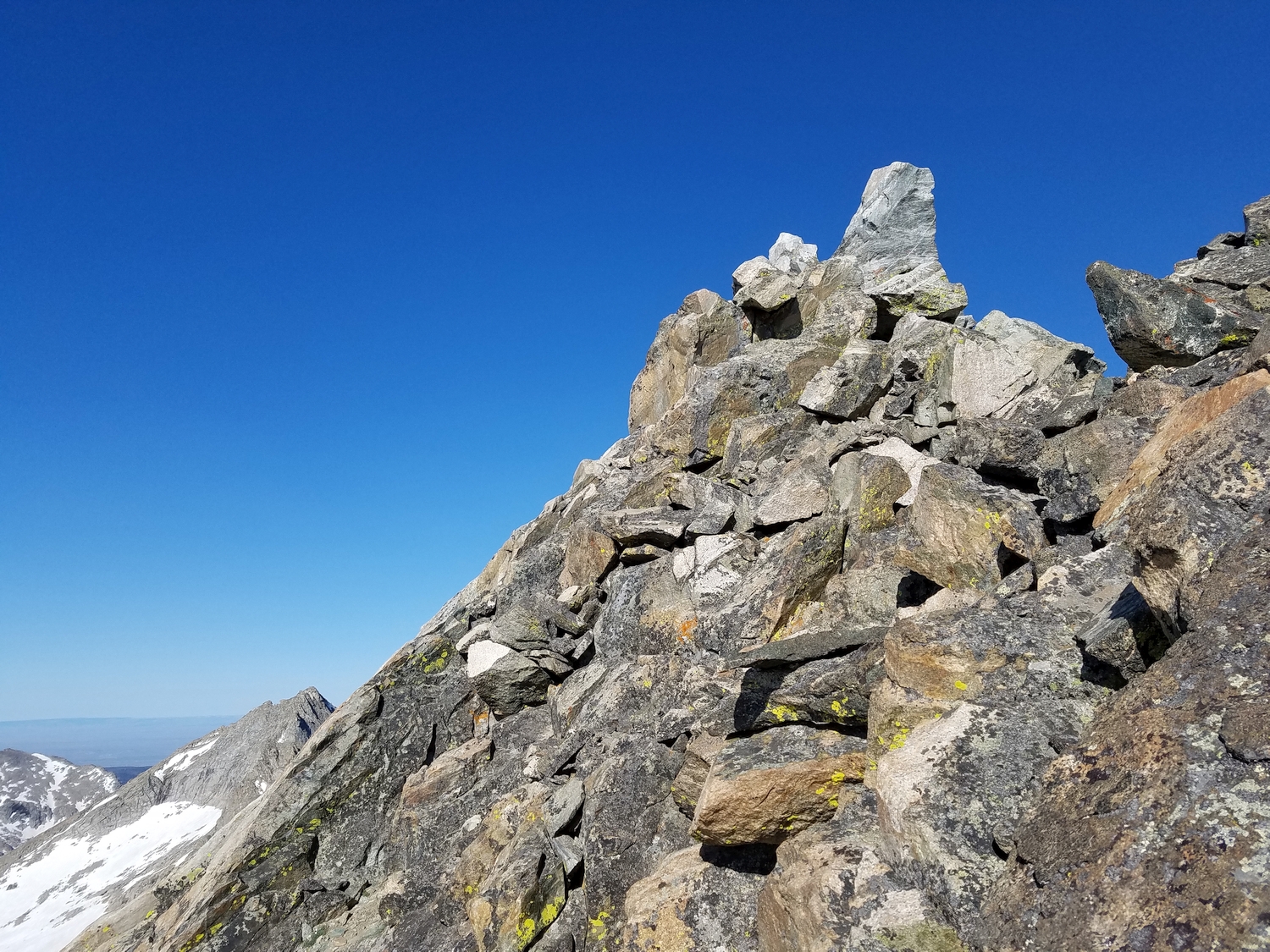
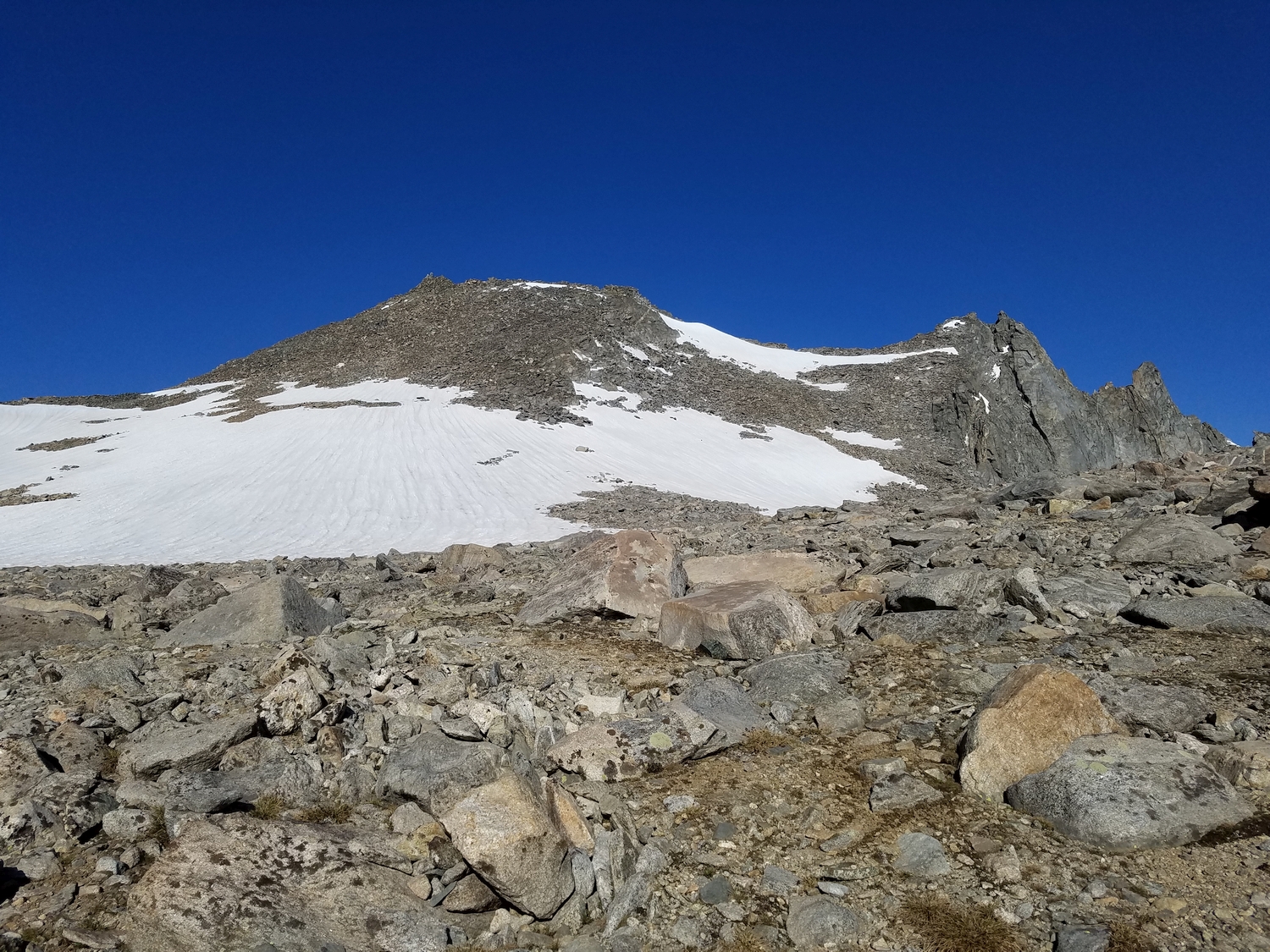
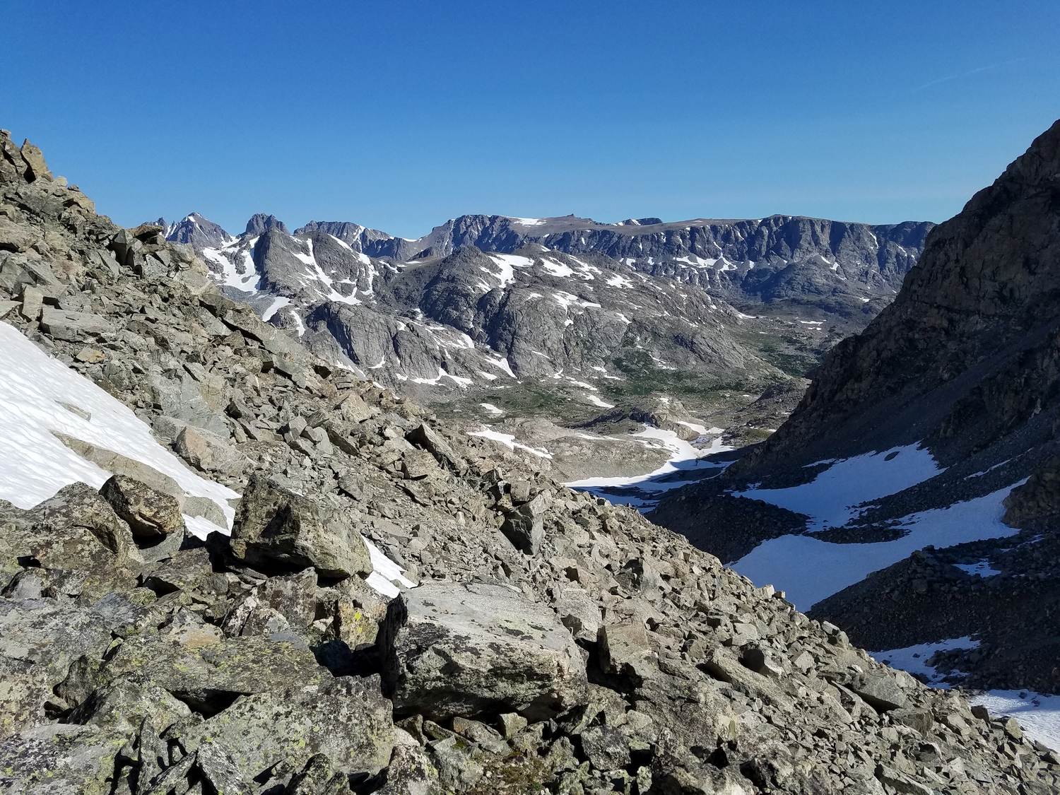
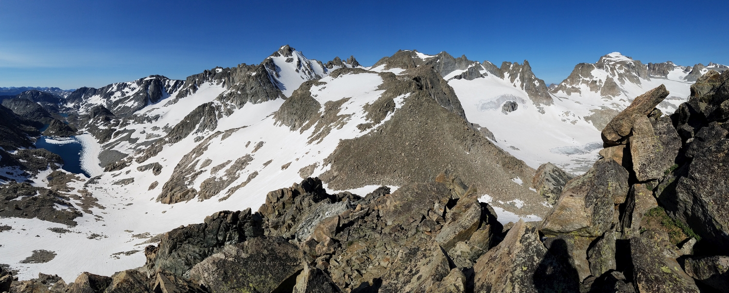
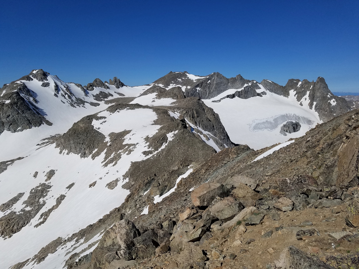
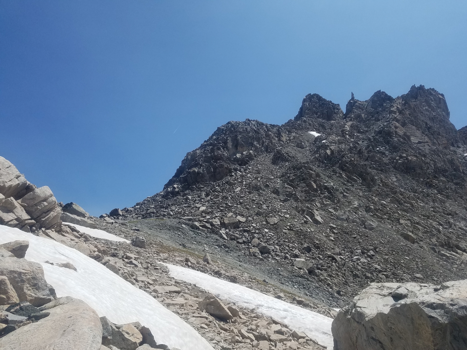
From the top of the pass, climb up to the southwest, skirting outcrops on the ridge by traversing on the south side, and enter the long hanging valley that forms a bowl below Knife Point’s convoluted northeast ridge. The pinnacles on either side of the valley are not the summit; rather, the highpoint is at the apex of a comparatively drab-looking talus cone at the far end of the valley.
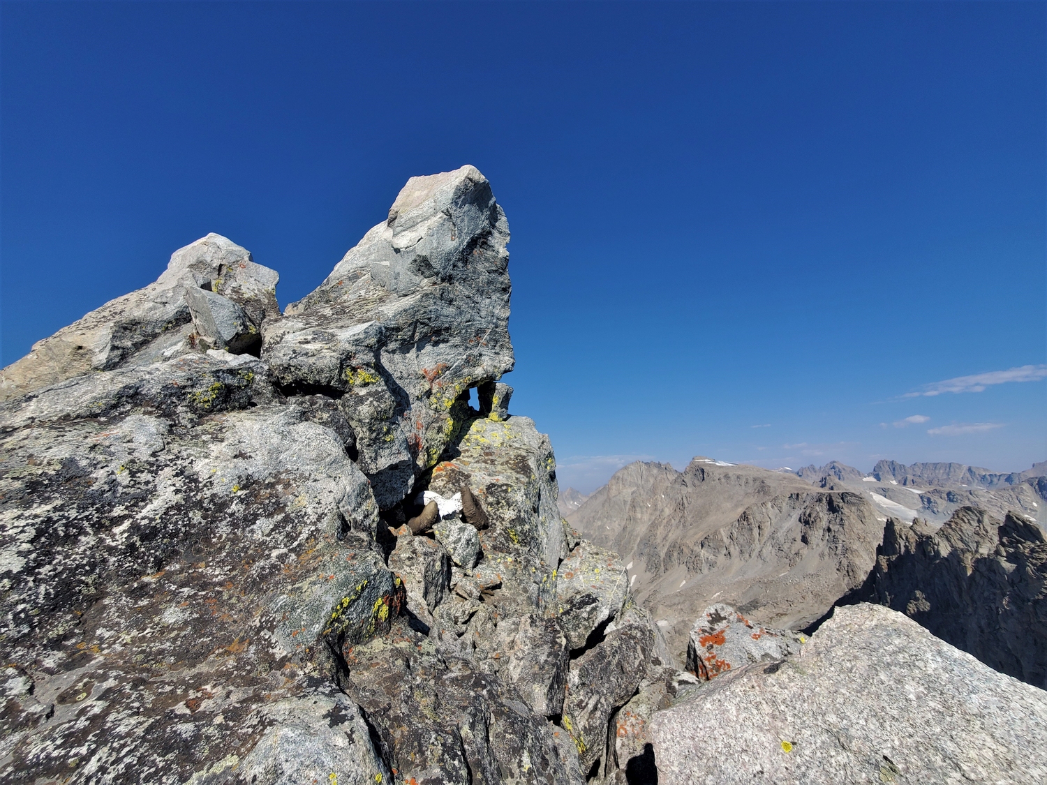
The final ascent up the summit pyramid consists of talus scrambling, and touching the summit requires some exposed moves on the summit boulder. Most climbers choose to lean up and touch the highpoint instead of standing on top.
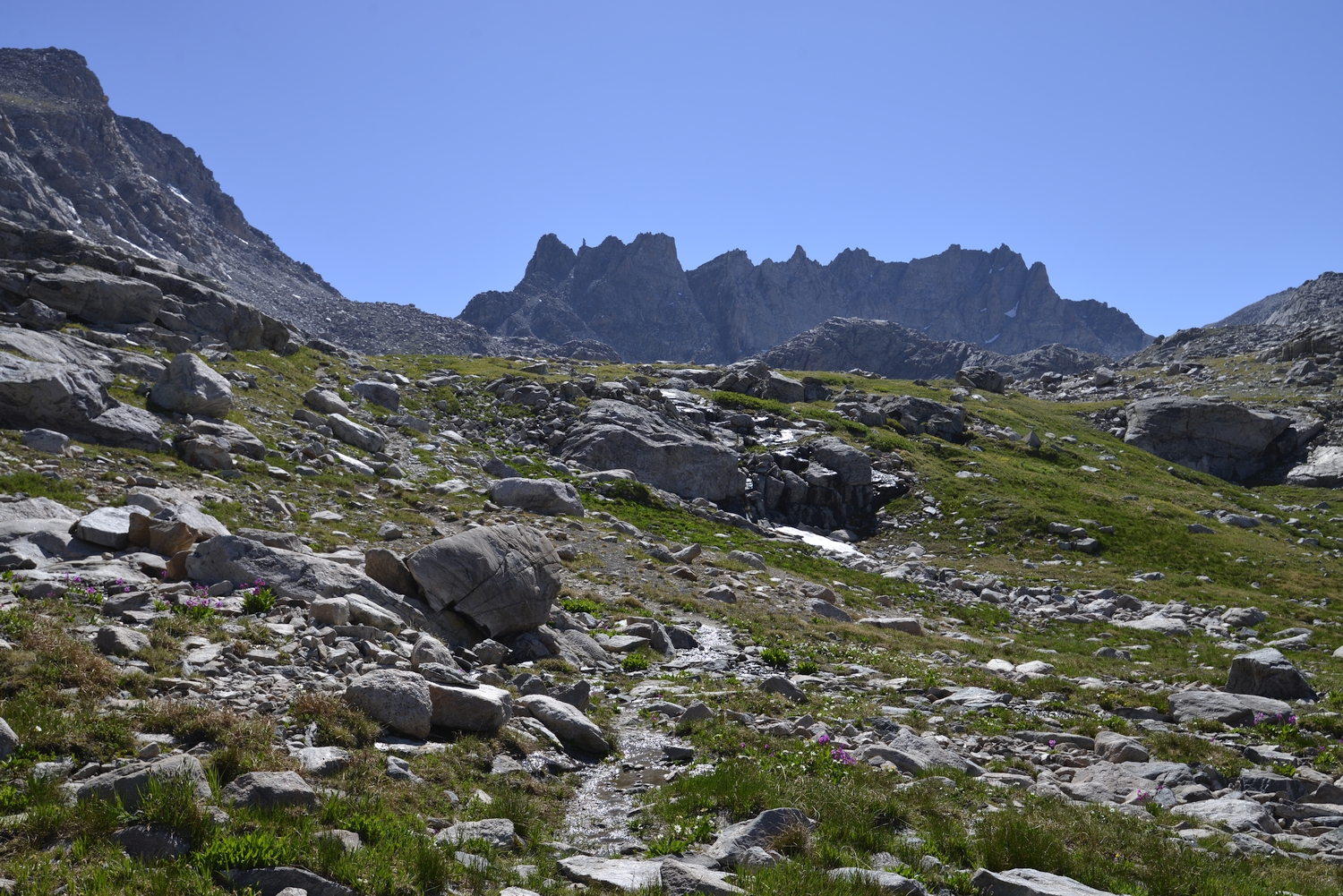
Route 2: South Slopes – Class 3
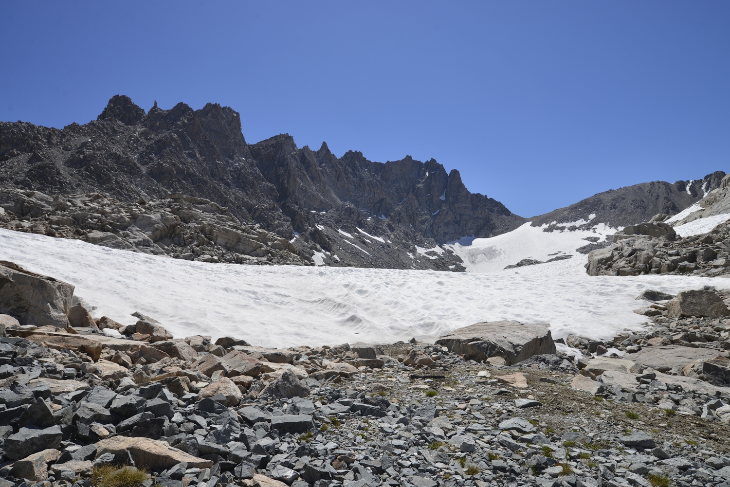
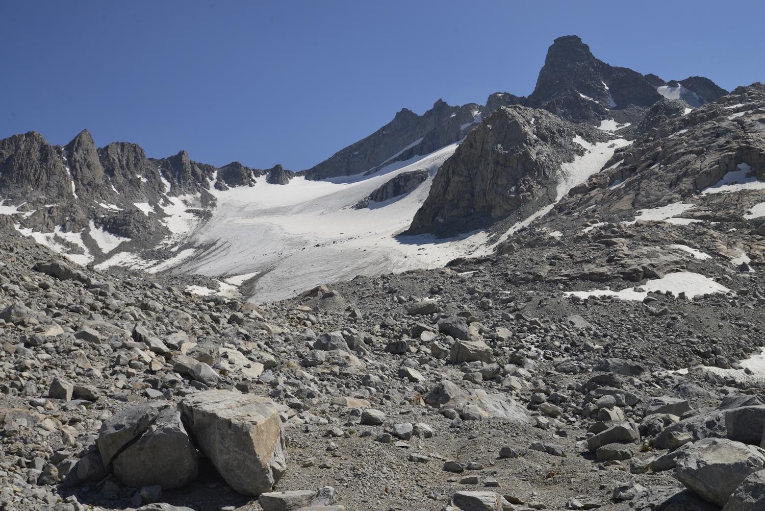
A rather unpleasant scree and talus slope provides a cliff-free passage from the basin above Wall Lake to the crest of the Continental Divide just south of the summit of Knife Point Mountain. As with Route 1, reaching the base of the route is the main adventure: options include hiking up along Pole Creek above Wall Lake, descending into the upper valley after an ascent of Harrower, or climbing the Harrower Glacier (potentially crevassed) from Indian Basin and crossing the col at its top to reach the base of this route.
The final ascent is comparatively straightforward; simply climb the obvious scree passage to reach the Divide, then turn left and ascend the talus cone to reach the summit domino.