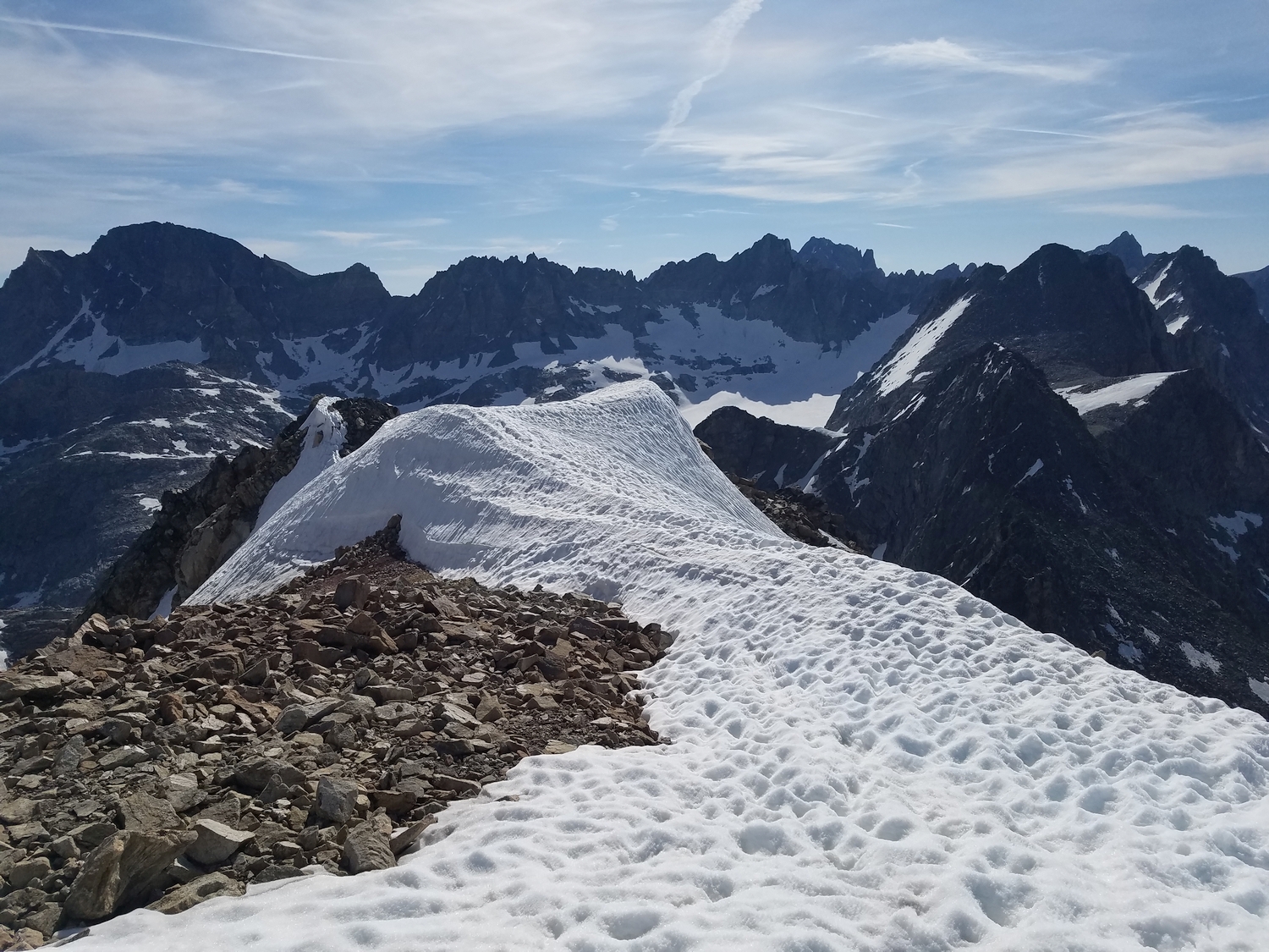
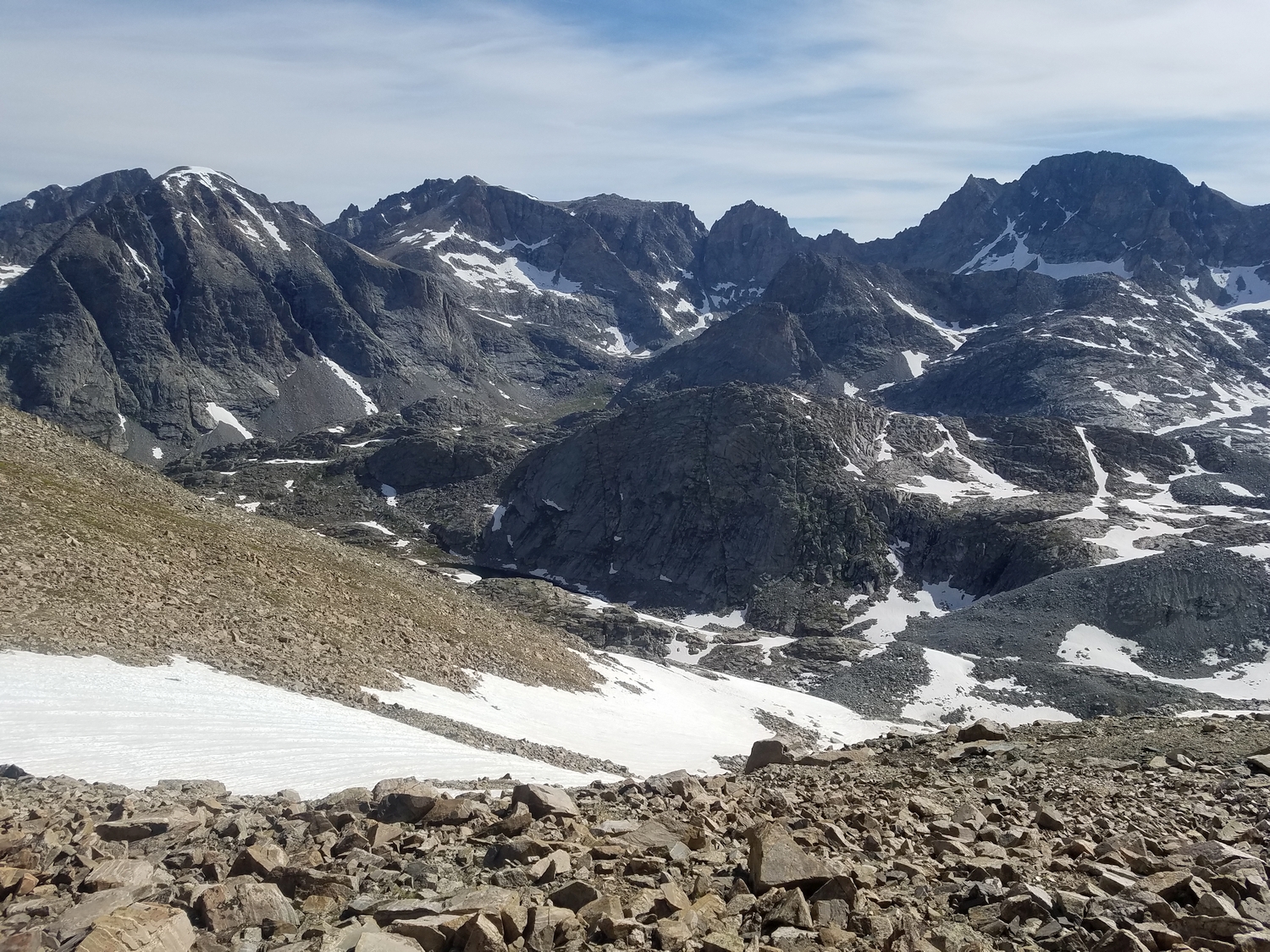
Introduction
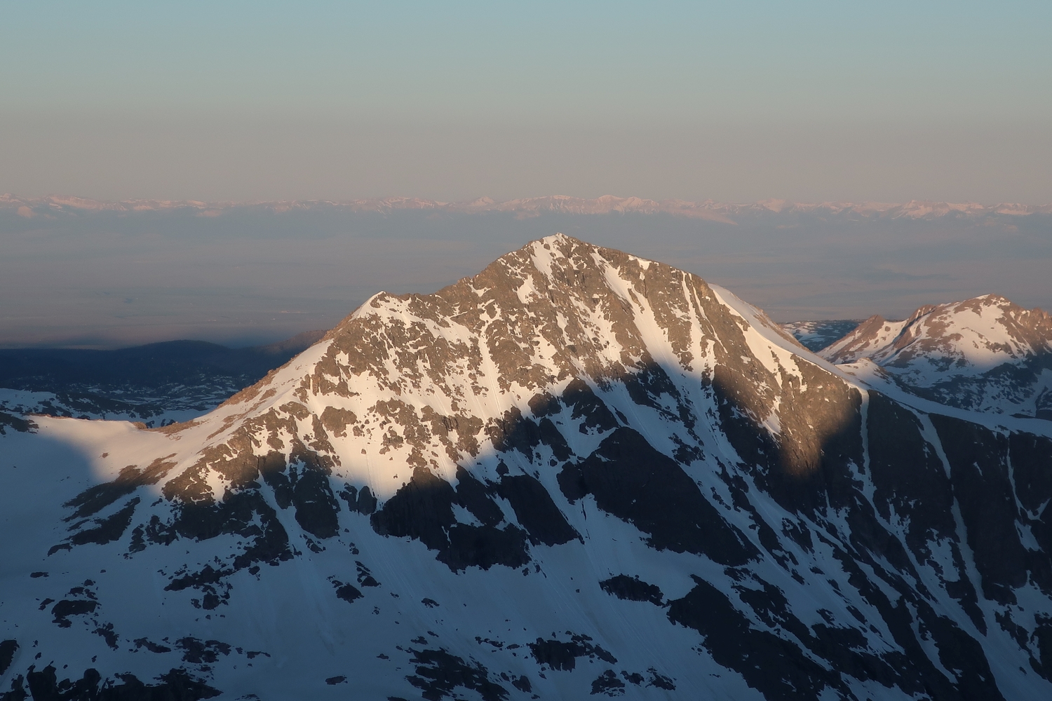
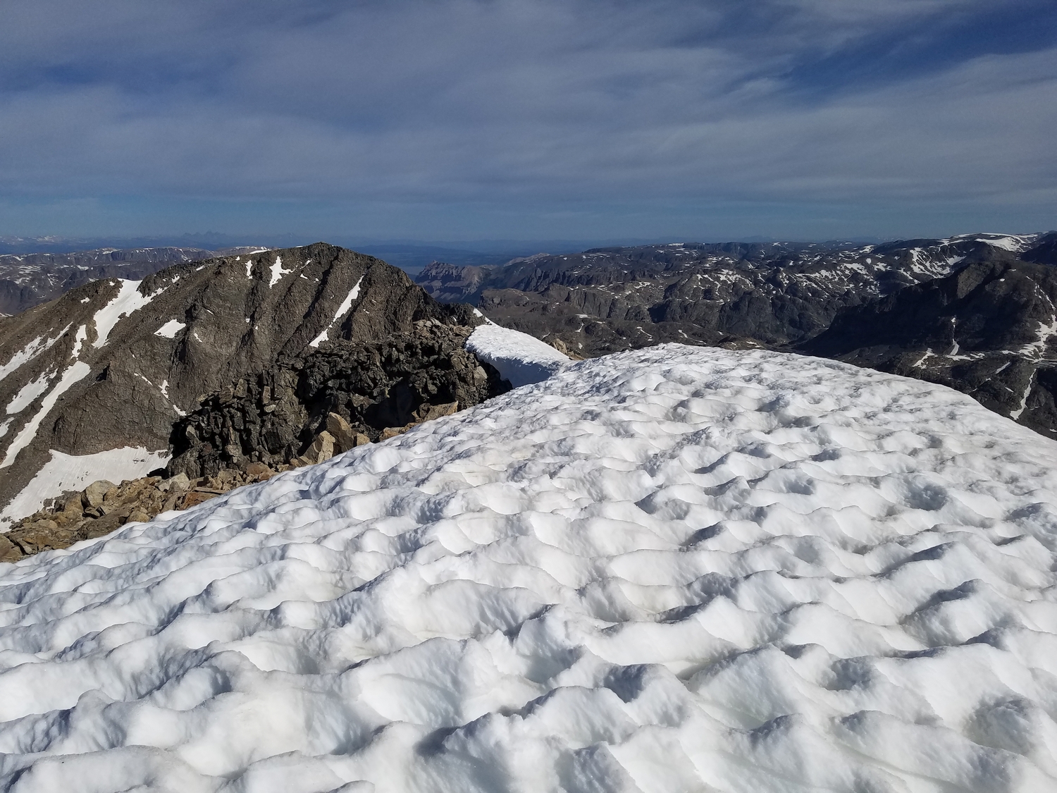
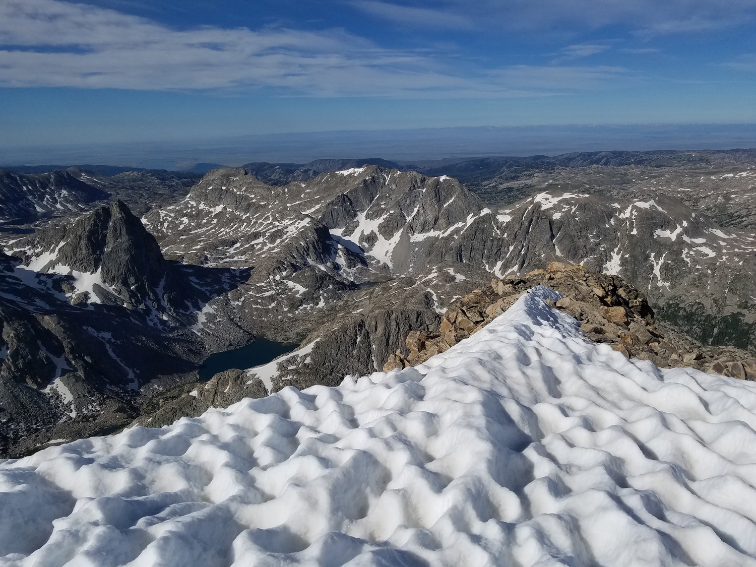
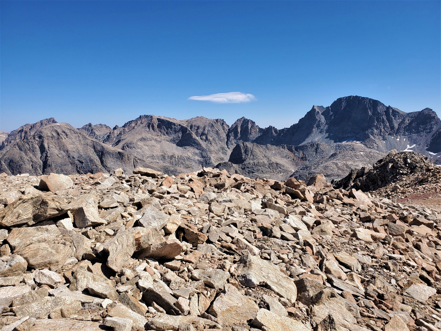
The snow cap on Mount Whitecap has melted completely by late summer in recent years, but earlier in the season, the distinctive white bonnet is visible from all around the region even though Whitecap is rather lower than its neighbors. Whitecap is perhaps one of the most average Wyoming 13ers: not particularly hard, not particularly easy, good views, a mix of snow and rock options, a popular backpacking trail on one side, and a remote alpine cirque on the other side.
General Considerations
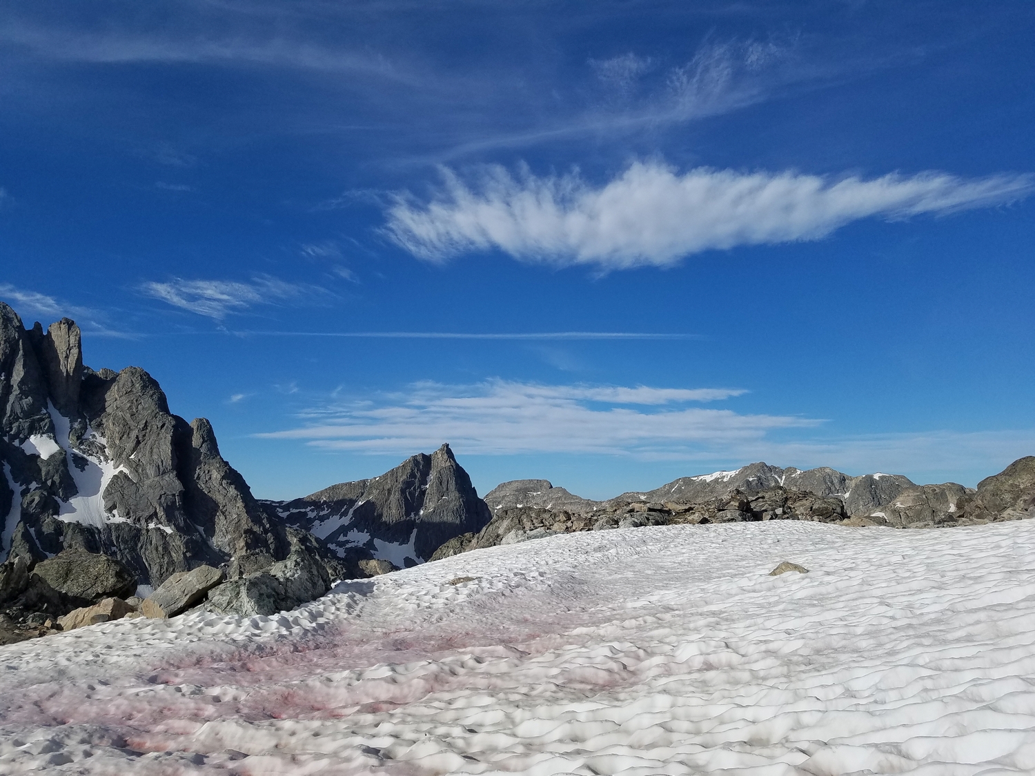
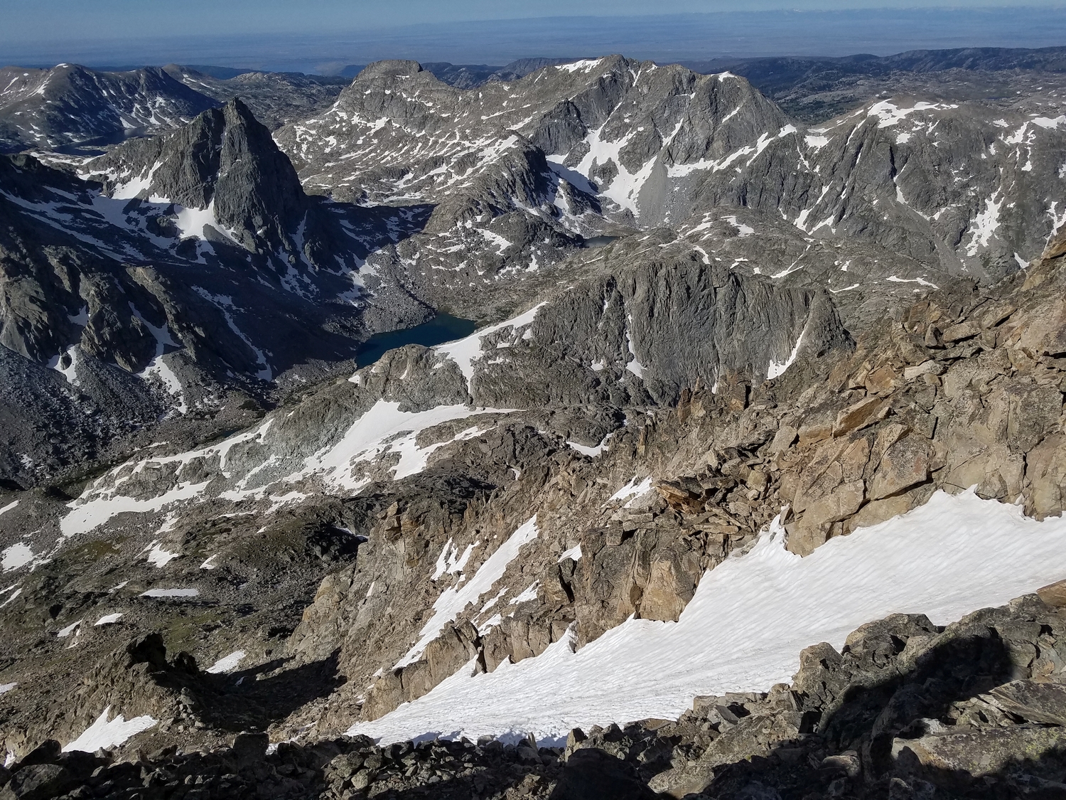
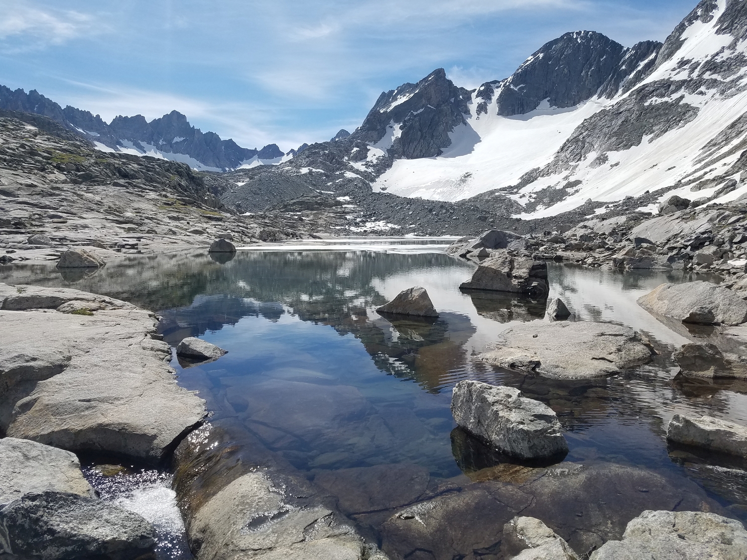
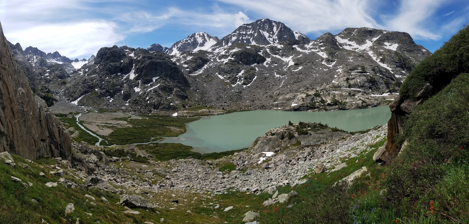
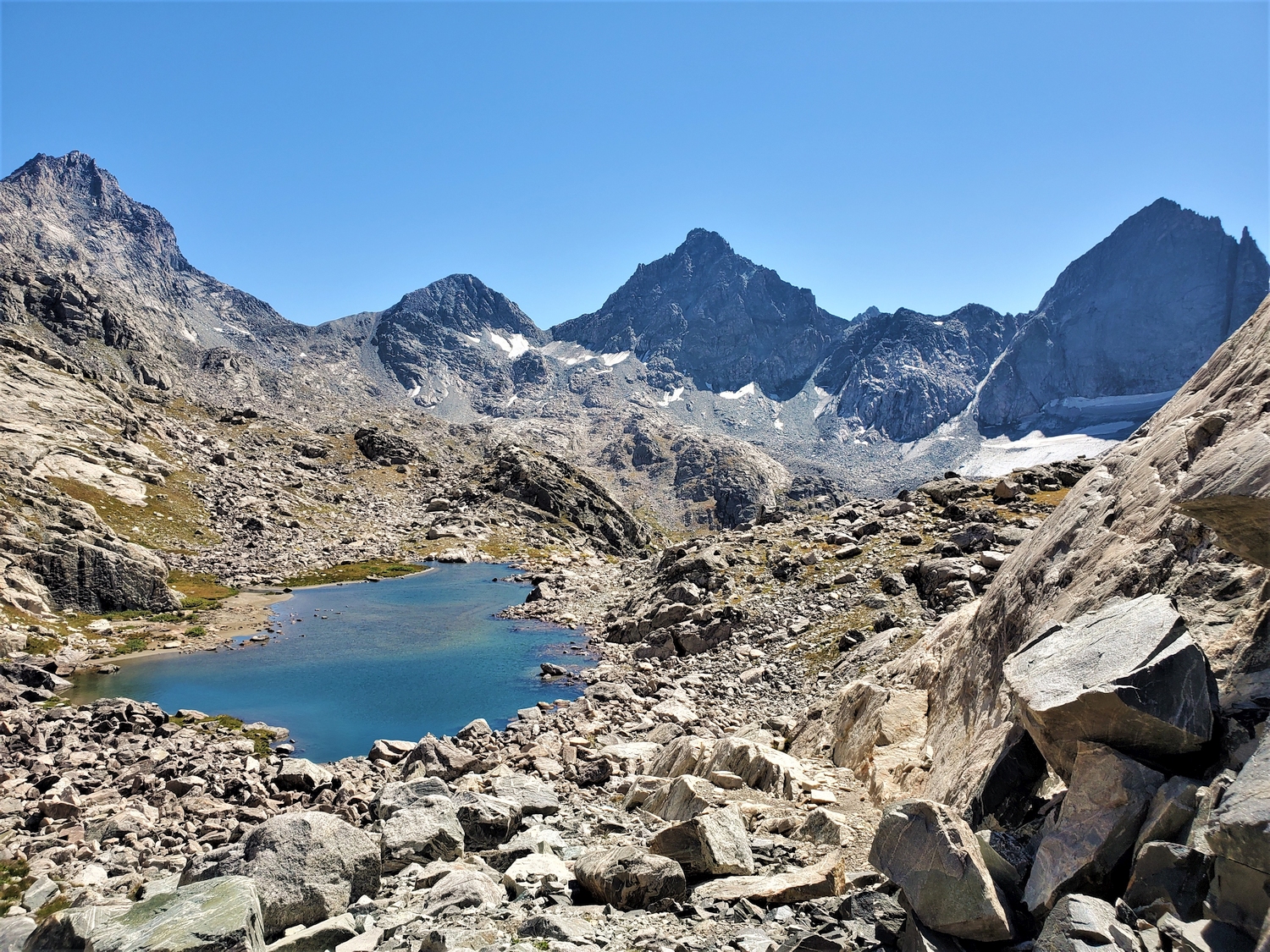
Mount Whitecap is separated from most other 13ers by deep valleys, and it is difficult to combine Whitecap into an extended traverse. Probably the most practical strategy would be to camp near Peak Lake and climb Whitecap, Split, and possibly other peaks from there. Those on longer itineraries have also climbed Whitecap enroute to Scott Lake via Stone Pillar Pass.
Route 1: South Couloirs – Class 3, Moderate Snow
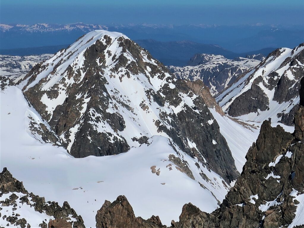
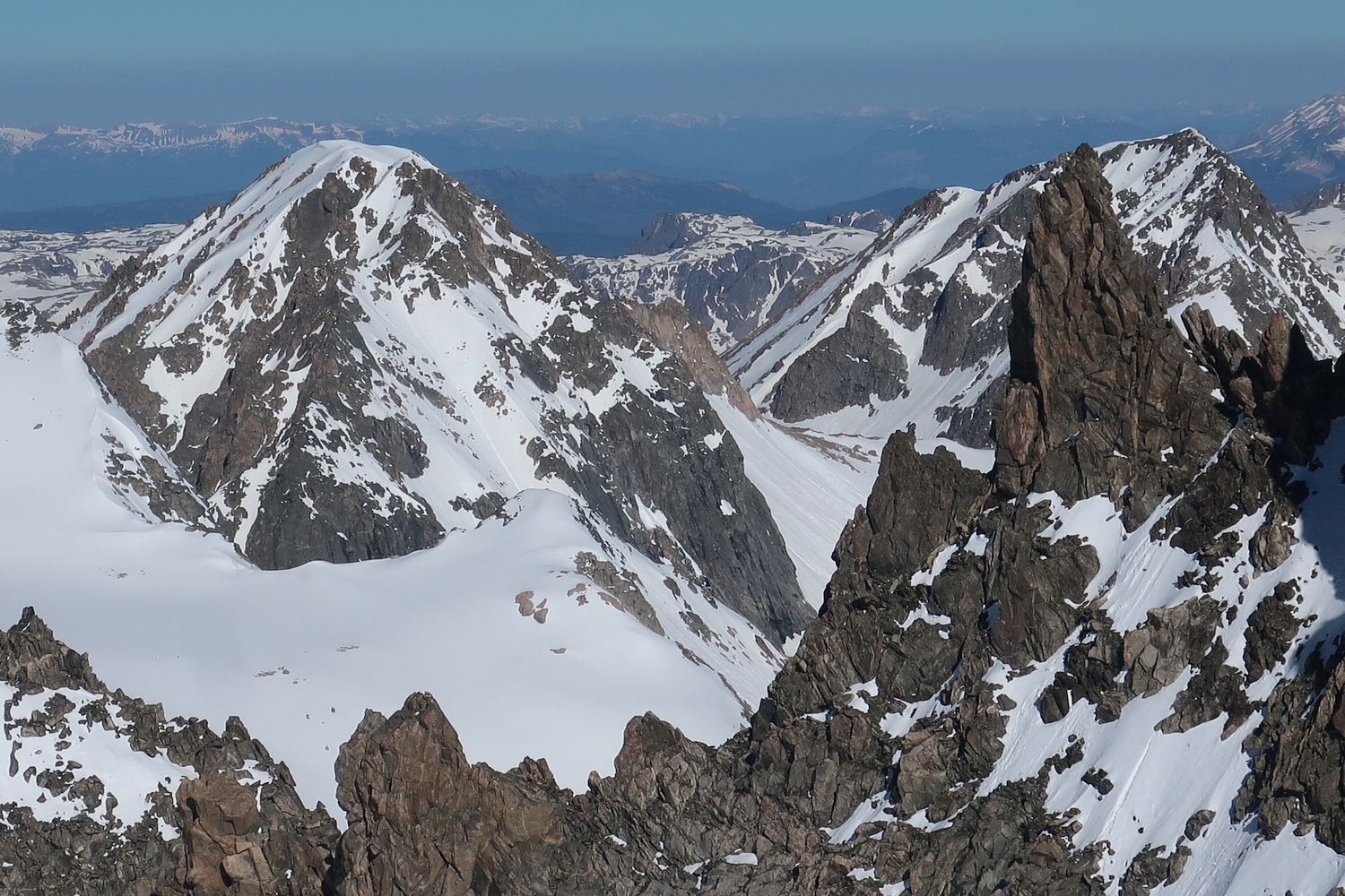
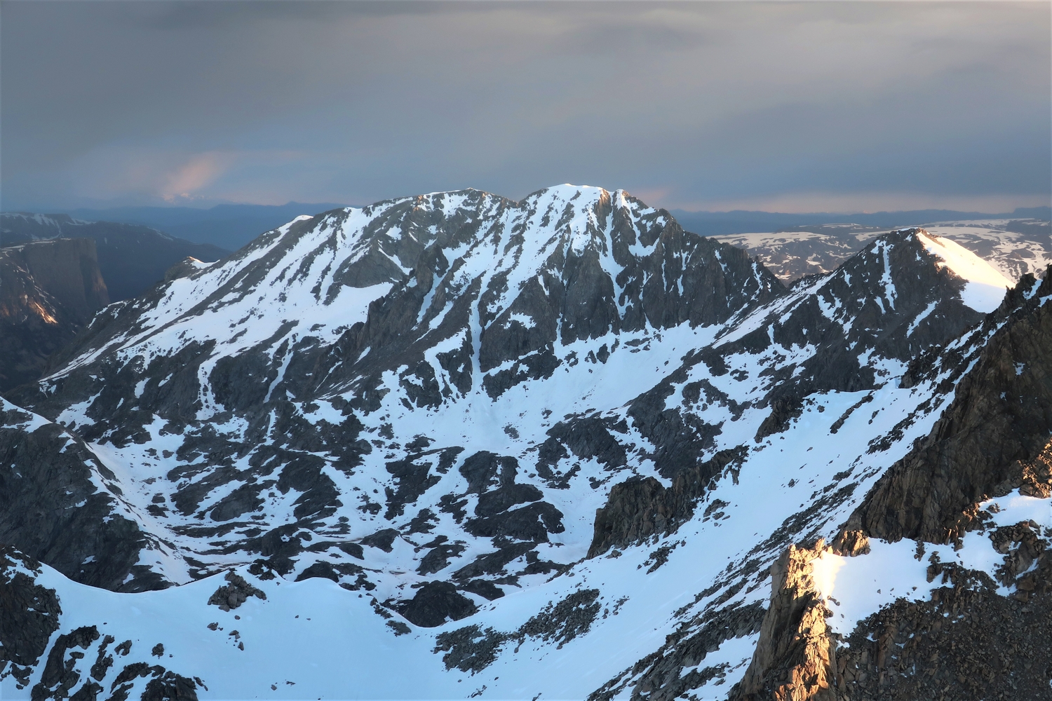
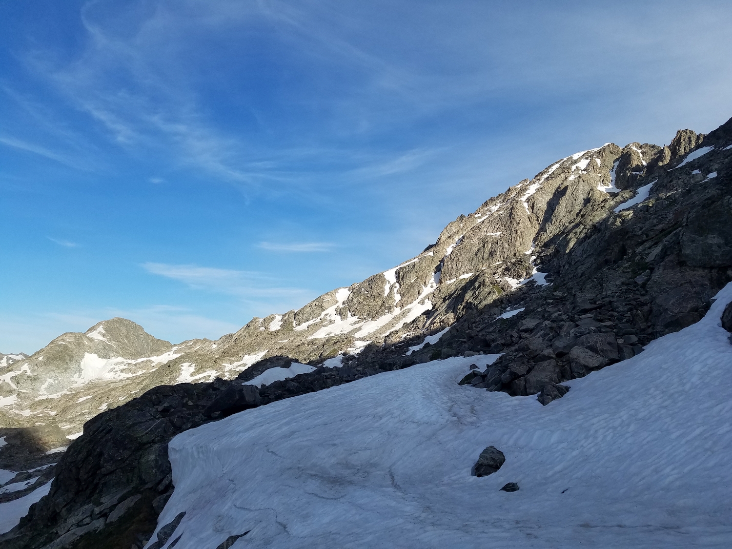
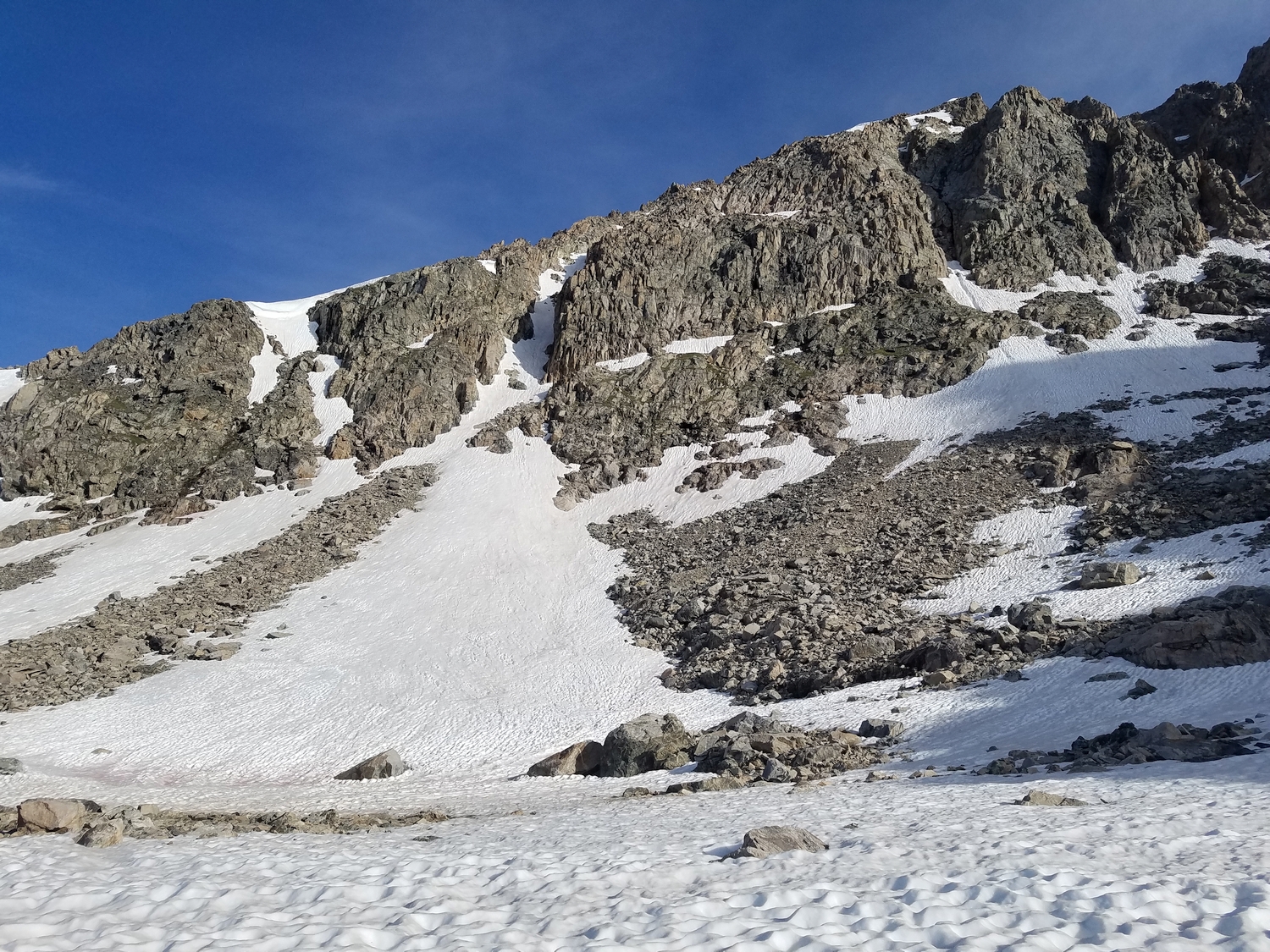
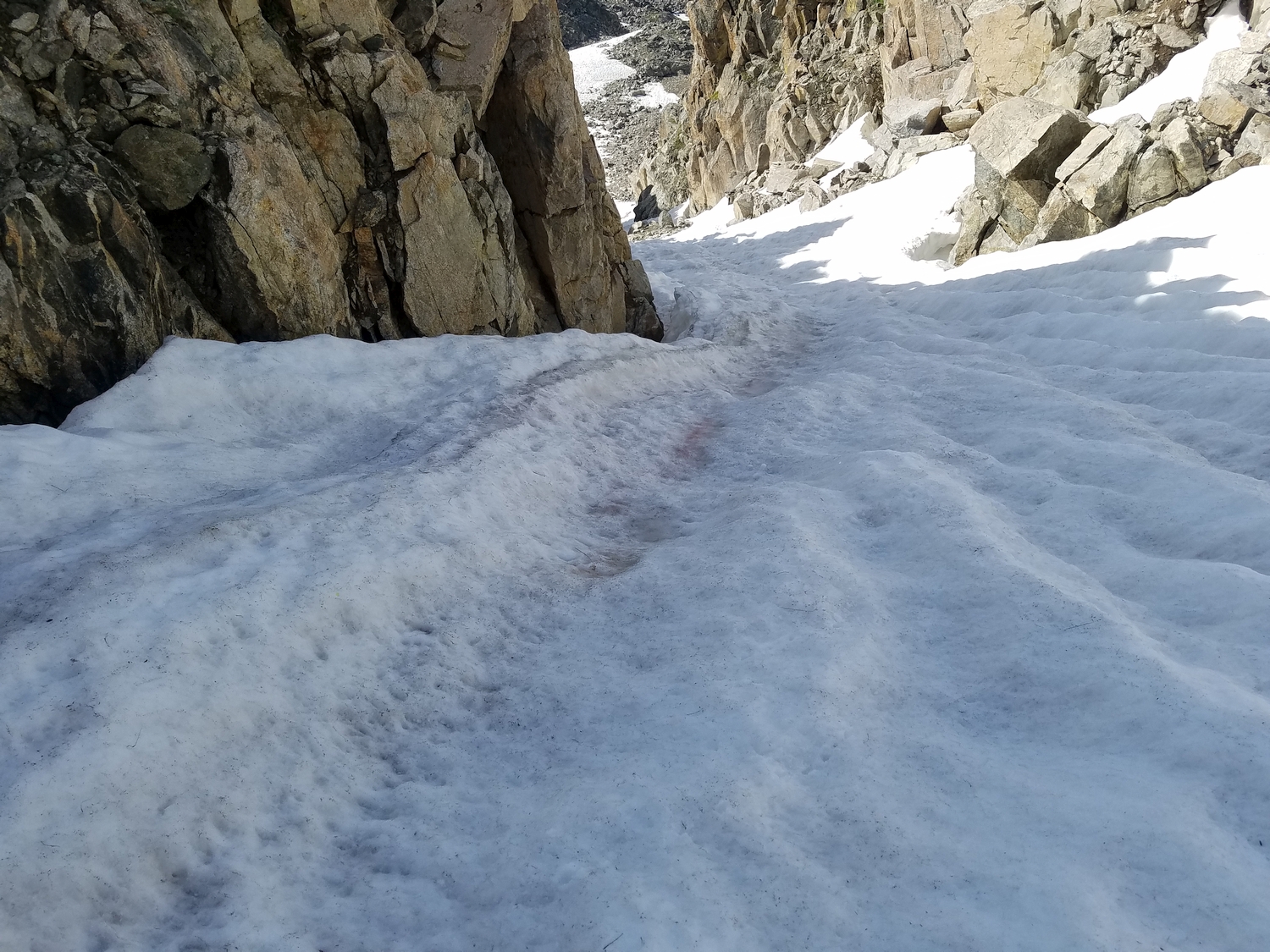
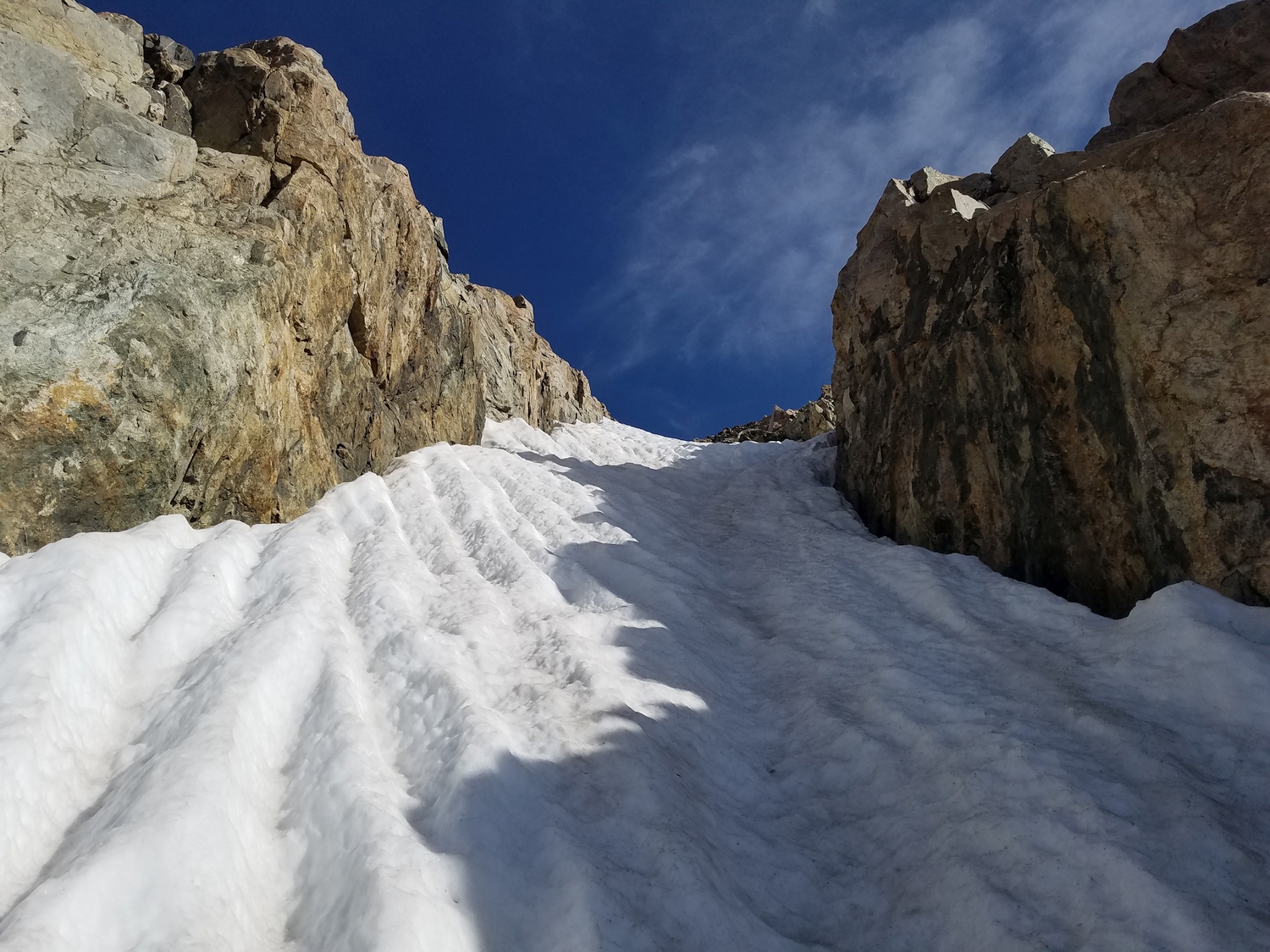
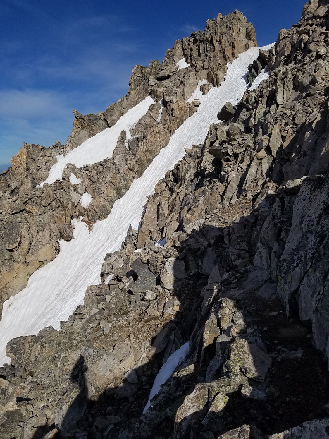
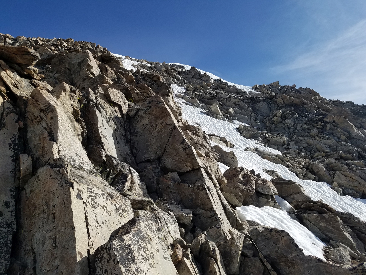
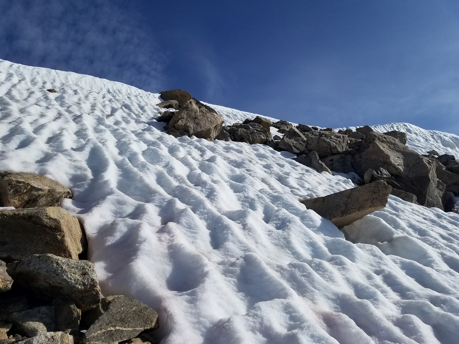
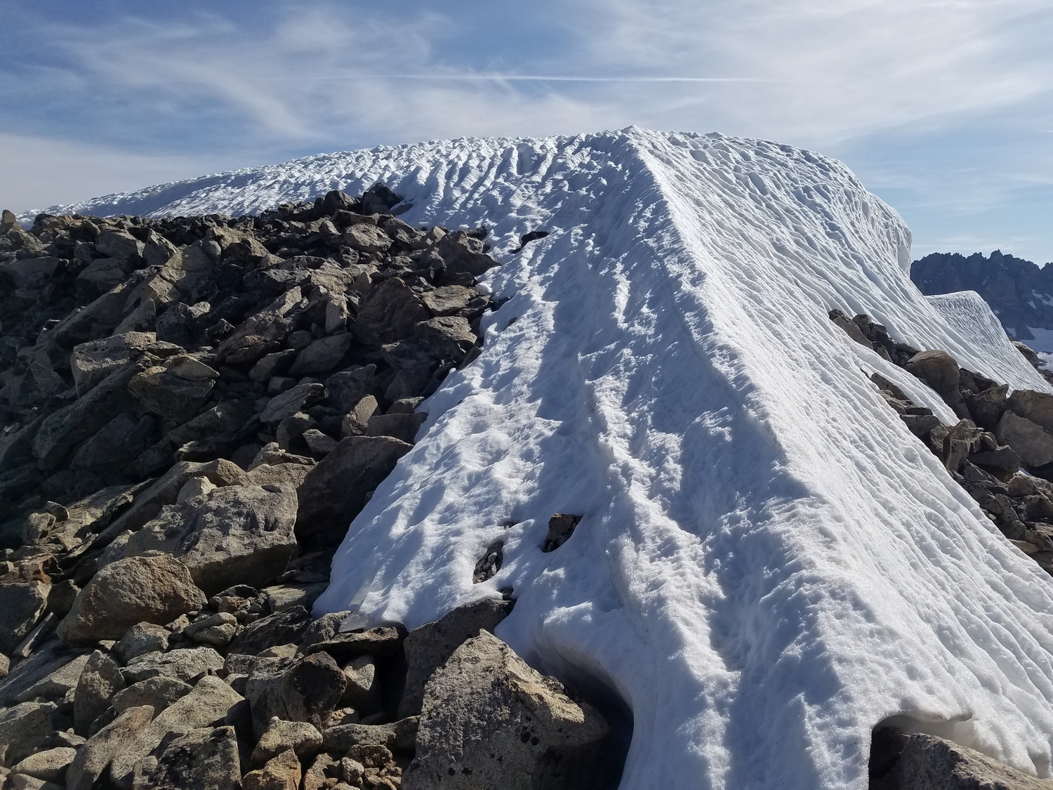
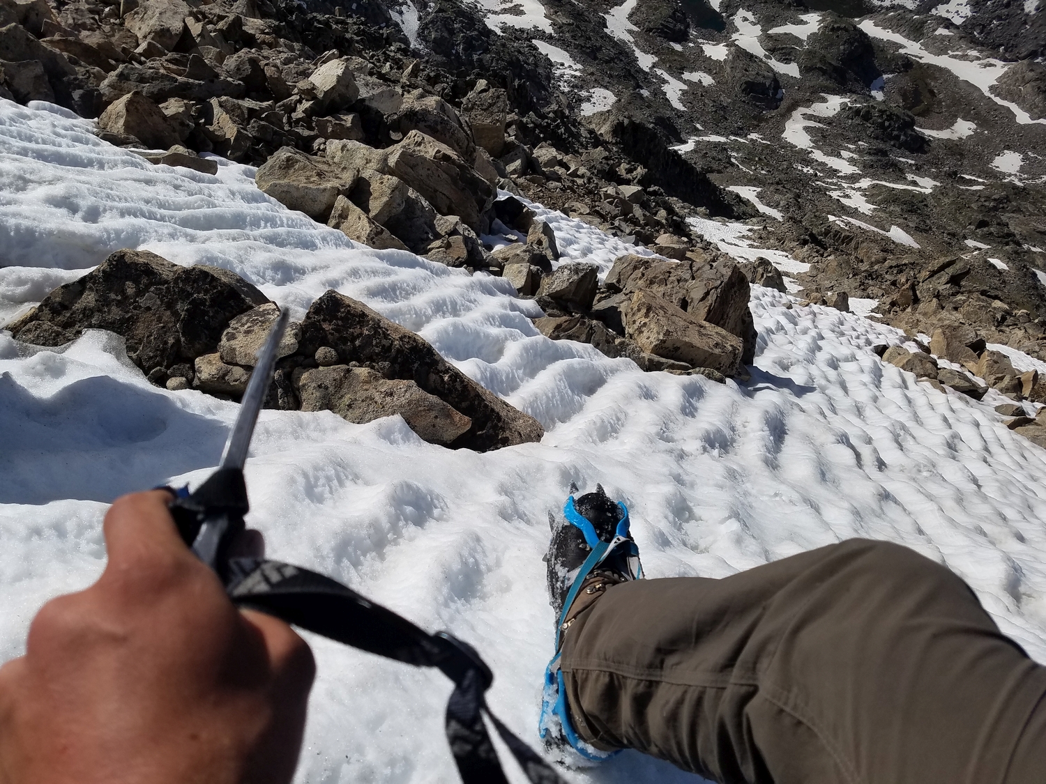
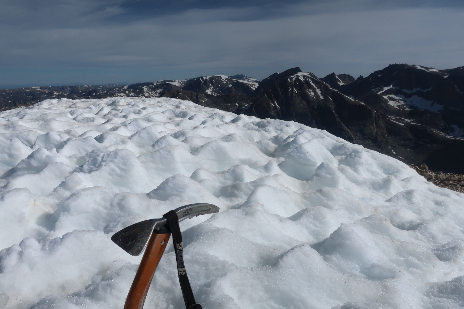
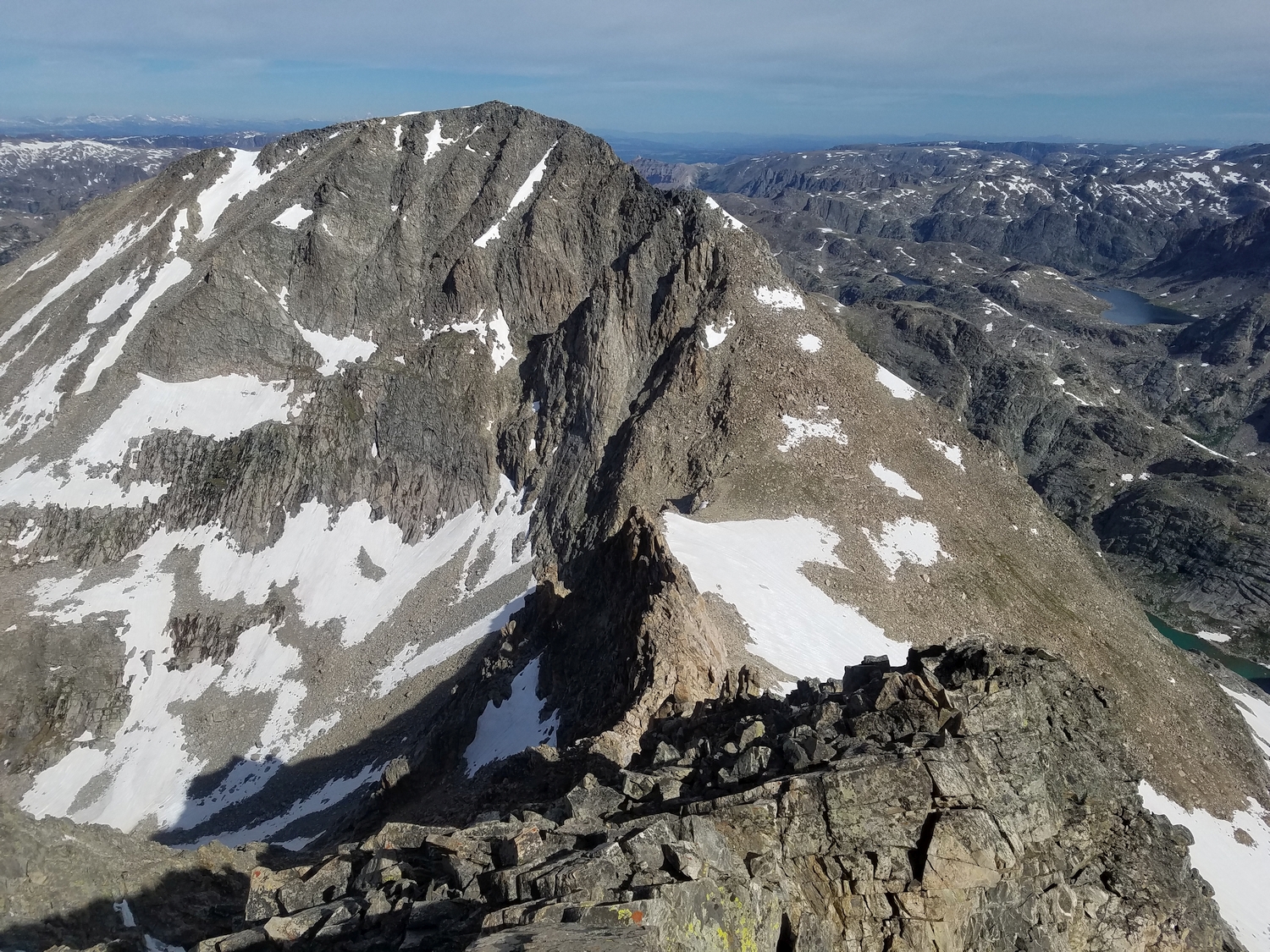
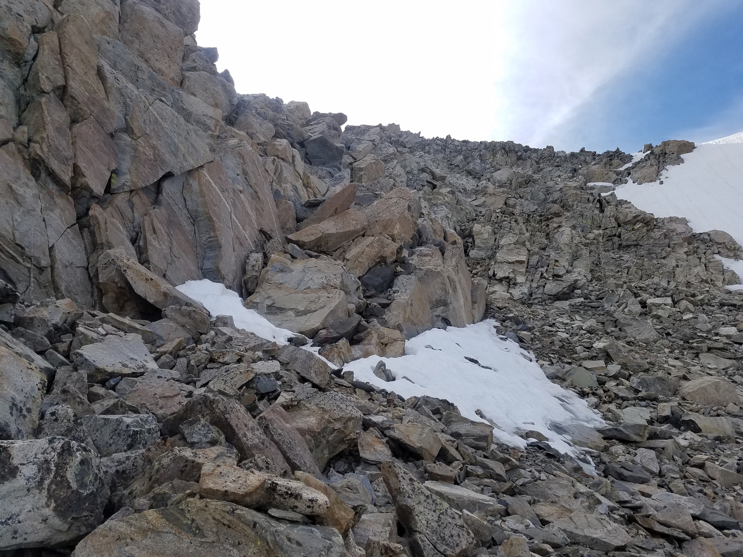
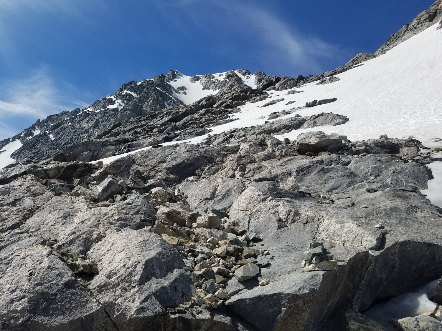
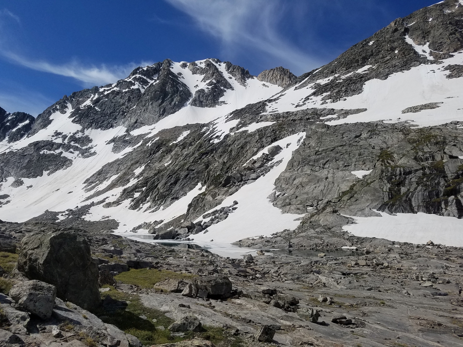
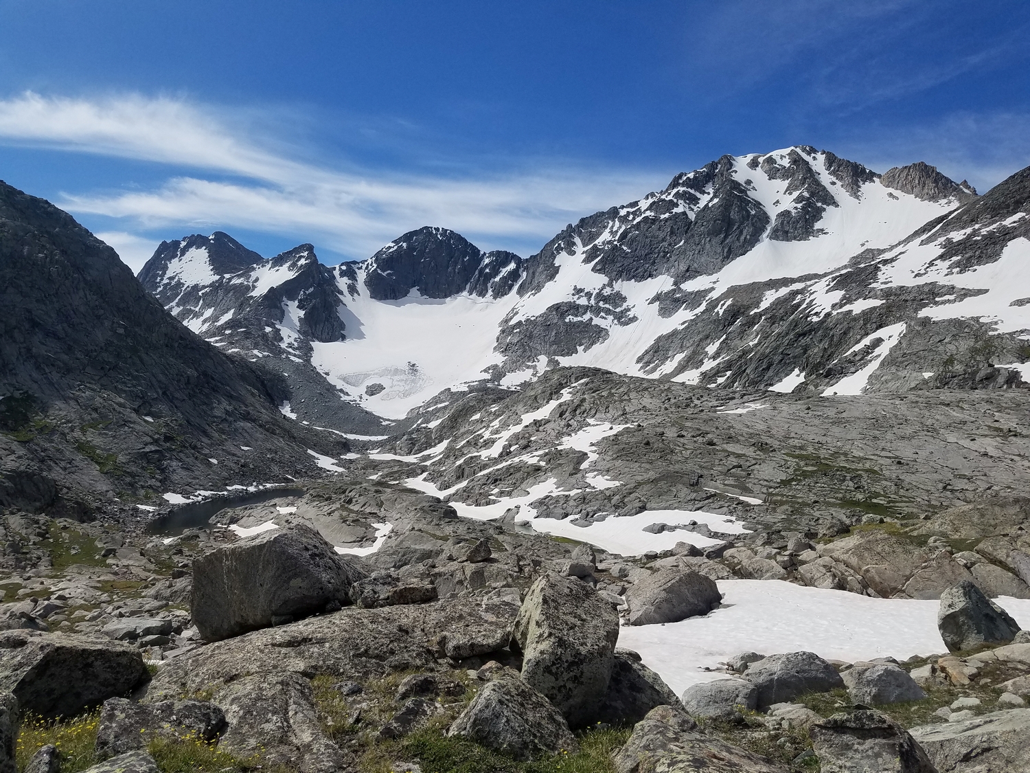
From the northern bench above the upper Peak Lake valley, the southeast face of Whitecap is a broken mess of towers, gullies, and ridges. The most obvious snow route begins with a narrow couloir which dog-legs to the right before merging with open slopes to climber’s right near the top. Many route variations are possible: simply find a suitable gully and climb it through the lower cliff bands, then finish by ascending the open face above, which will likely involve some combination of scree, snow, and small rock ribs.
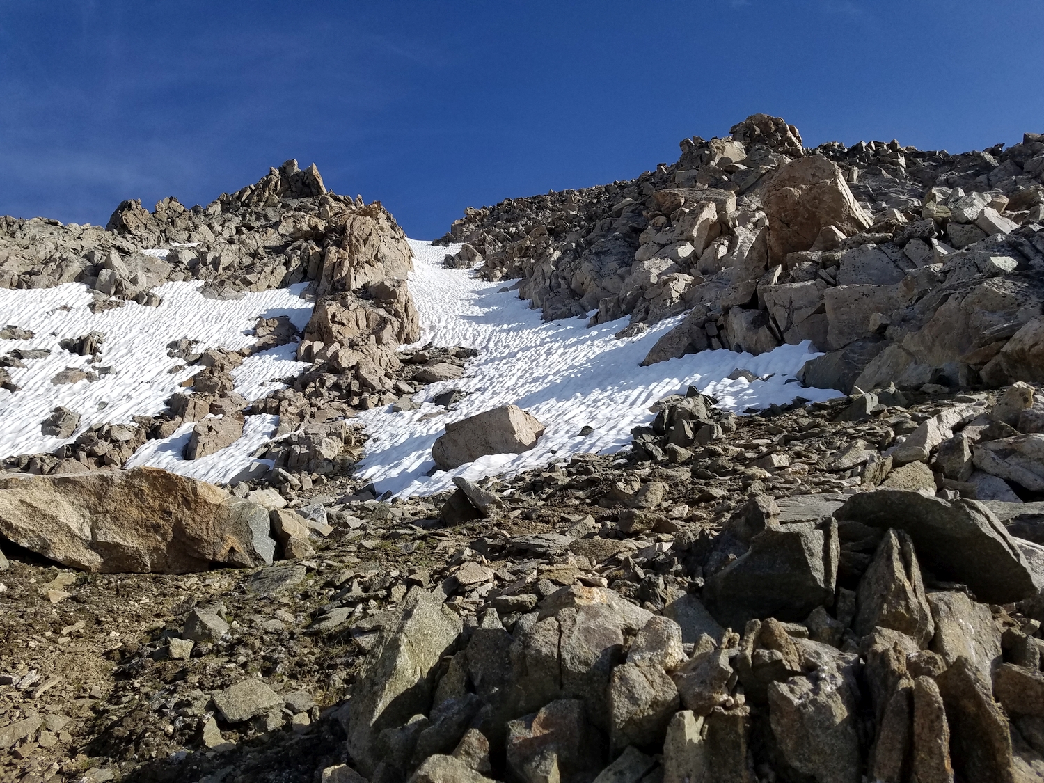
Later in the season, much of the snow melts, and a talus-only route is possible. The most stable ground is found on the broad ridge a bit west of the major couloirs, which provides straightforward passage to the upper face. The ridge fades into a shallow gully about halfway up; when steeper ribs block easy passage, move diagonally right and ascend a few hundred feet of loose scree to the summit.
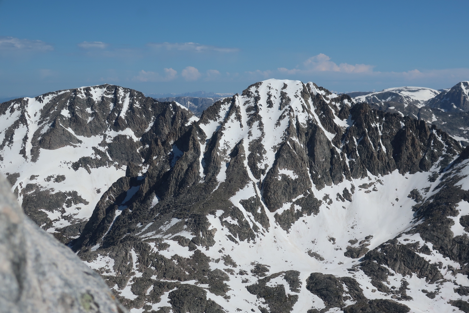
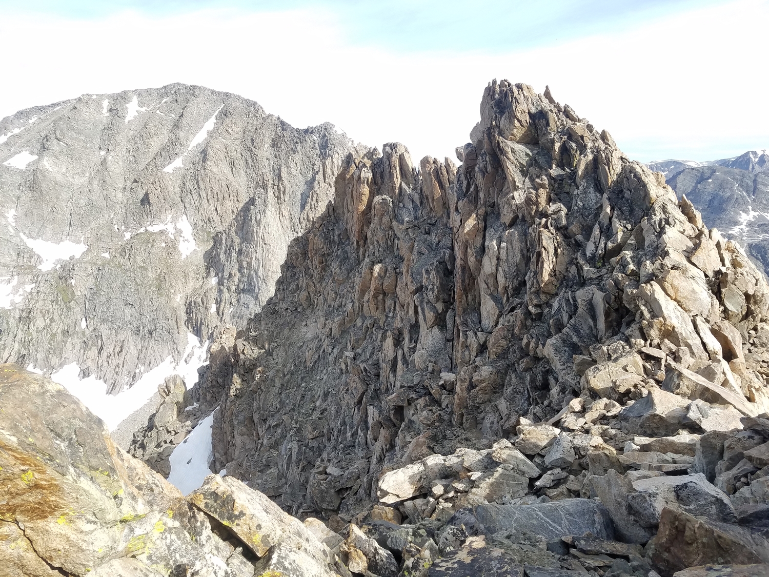
Route 2: East Ridge – Class 5
A traverse from the 12er called G4 (Point 12845) to Mount Whitecap has been reported; the ridge route apparently involves bypassing numerous gendarmes. Depending on the climber, it may be quicker to descend Split Mountain Pass and re-ascend Whitecap’s south couloirs.
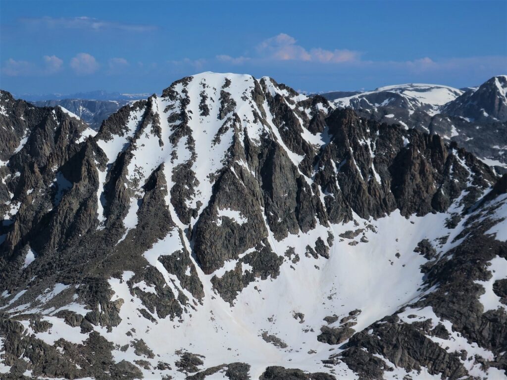
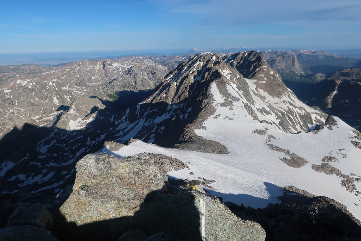
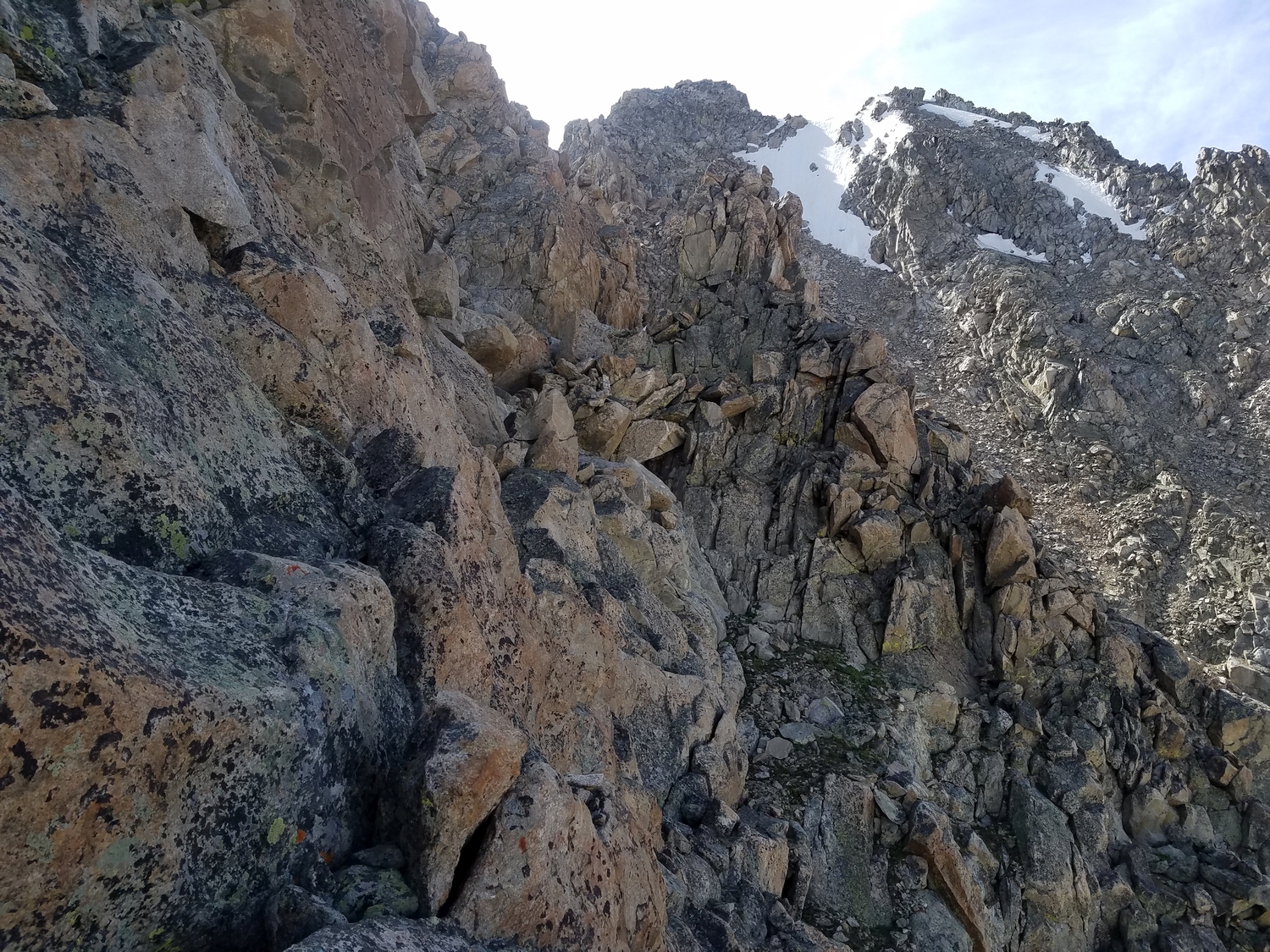
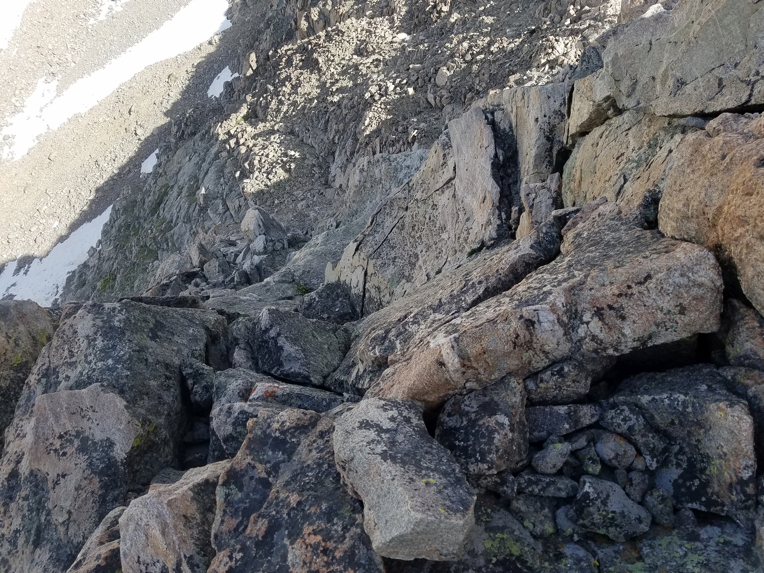
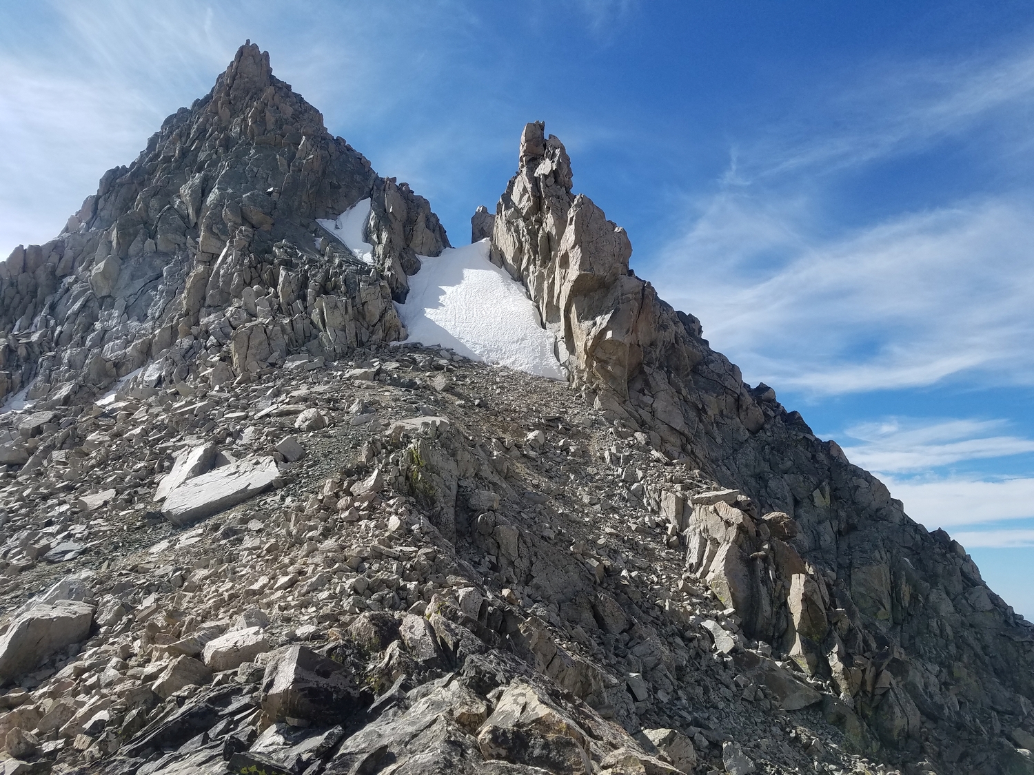
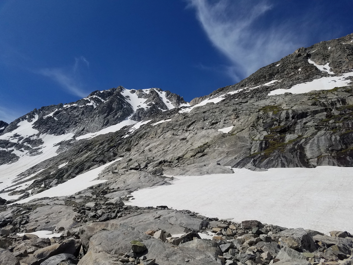
Route 3: Northwest Ridge – Class 4
This has been the standard route for parties climbing Whitecap enroute between the Peak Lake basin and the Scott Lake district. However, it is considerably more challenging than Route 1.
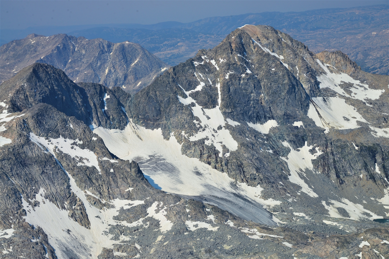
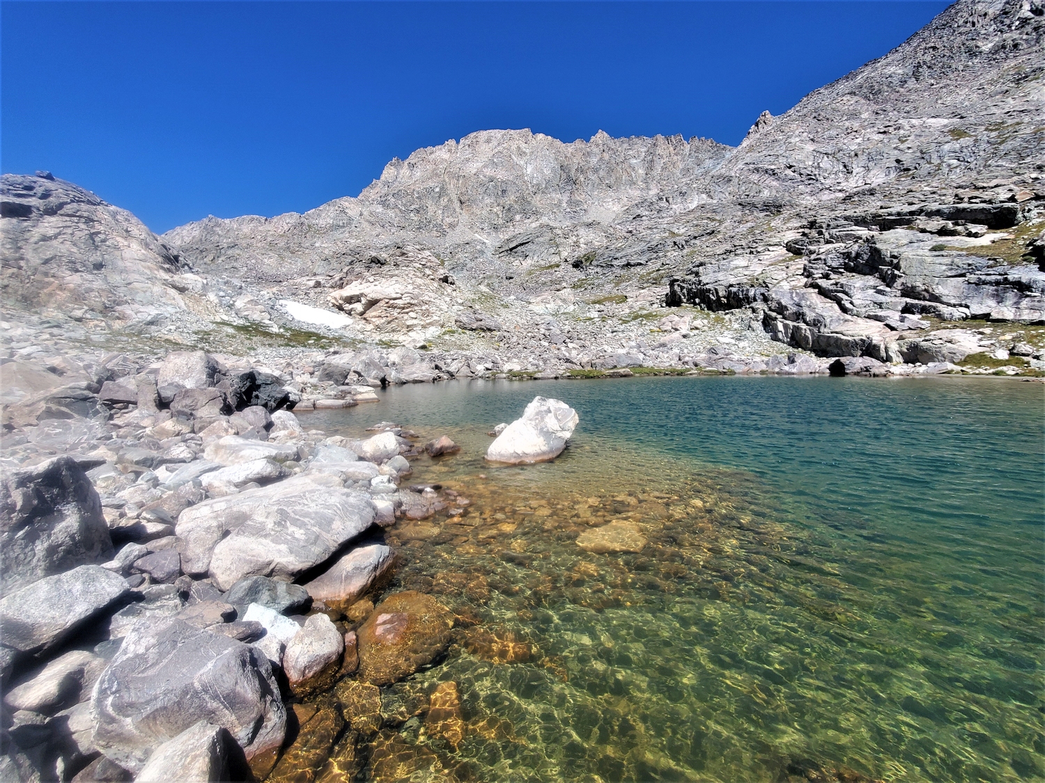
To climb the northwest ridge route, first get to Stone Pillar Pass. From the Peak Lake side, the ascent is straightforward (though reportedly tedious) over scree and talus in the valley above Stonehammer Lake. From the Wells Creek side, however, Stone Pillar Pass is more challenging: starting from the outlet of the unnamed lake around 11,240 ft. just west of the Baby Glacier, some intricate micro route finding is required to weave between small cliff bands on a rising traverse to the south to intercept the rounded saddle area of Stone Pillar Pass from its northern corner.
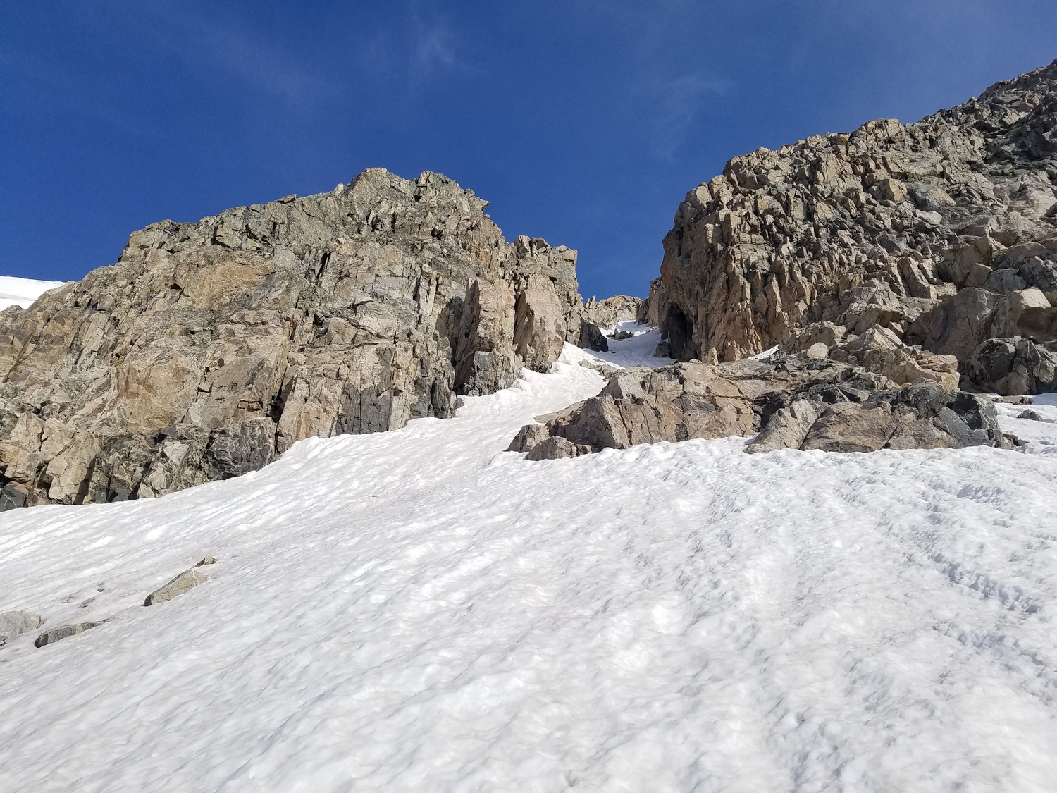
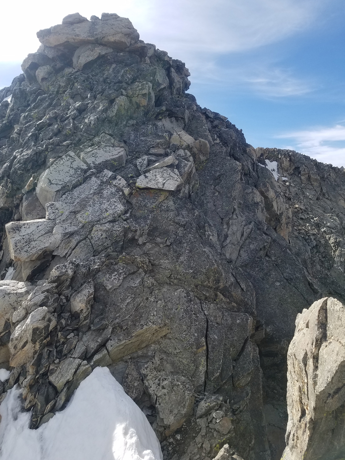
From either approach, the ridge begins abruptly at Stone Pillar Pass. Bypass an initial sharp section by traversing on ledges to the west, then climb up hundreds of feet of steep blocky terrain on or near the crest. The summit is separated from the lower ridge by a small notch; climbing the slab on the far side of the notch is arguably the route’s technical crux.