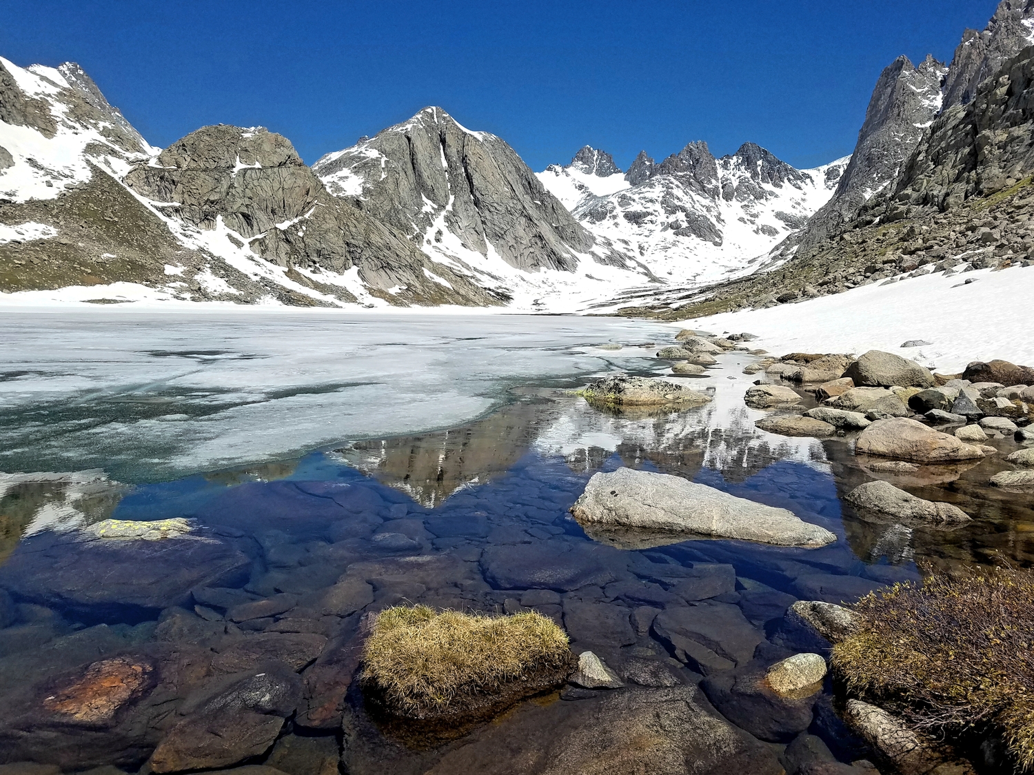
The Sphinx
Elevation: 13,277 ft.
Prominence: 328 ft.
Isolation: 0.2 miles
Technical Difficulty: Class 4+


The Sphinx Guidebook
Introduction
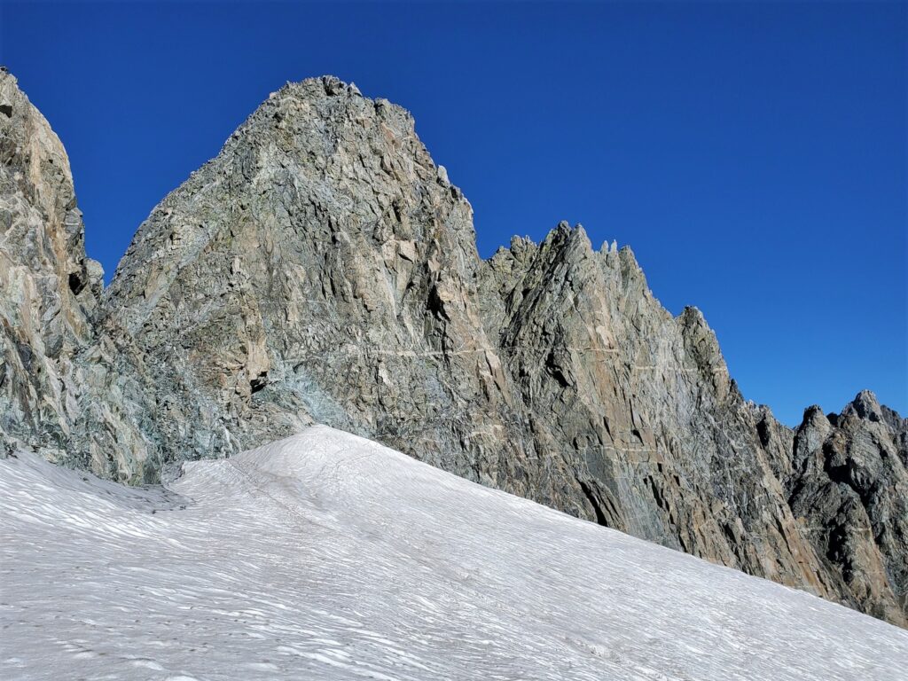
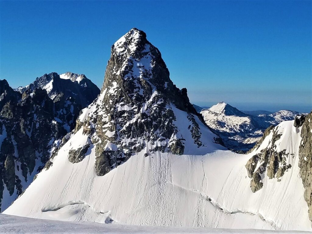
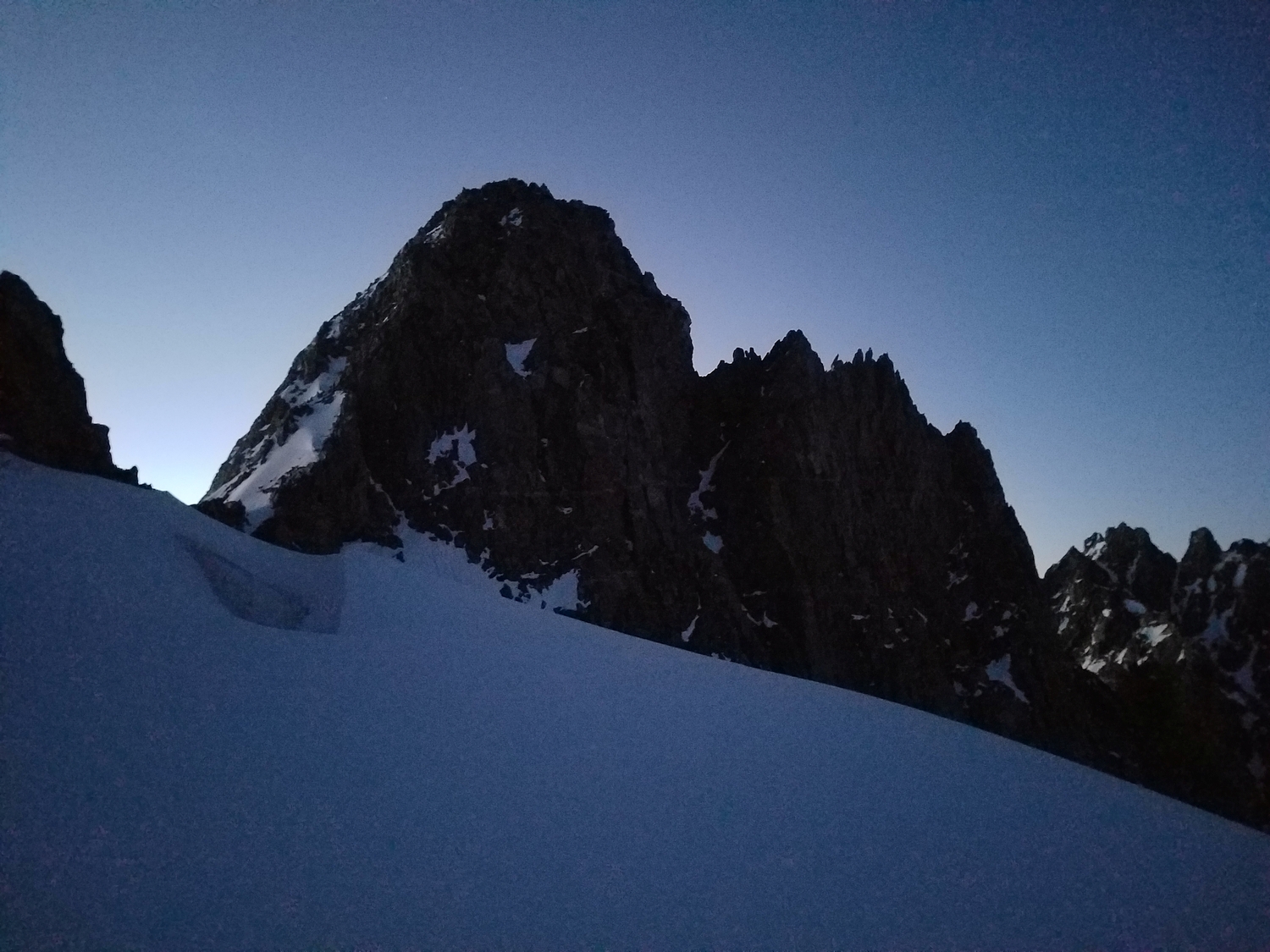
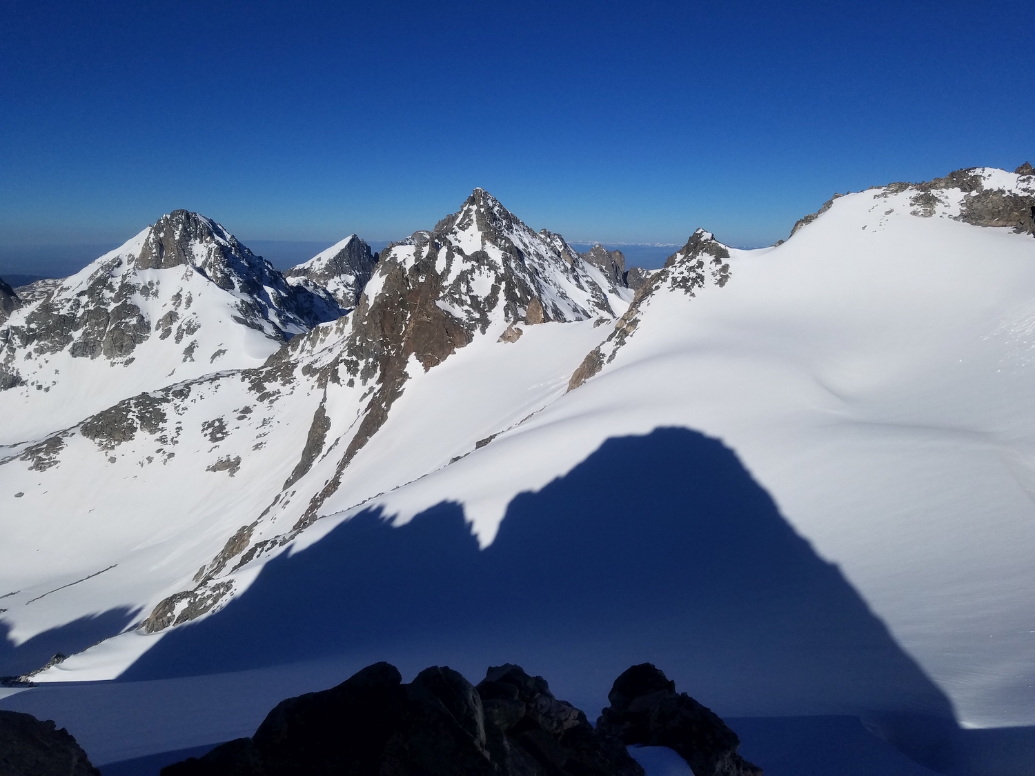
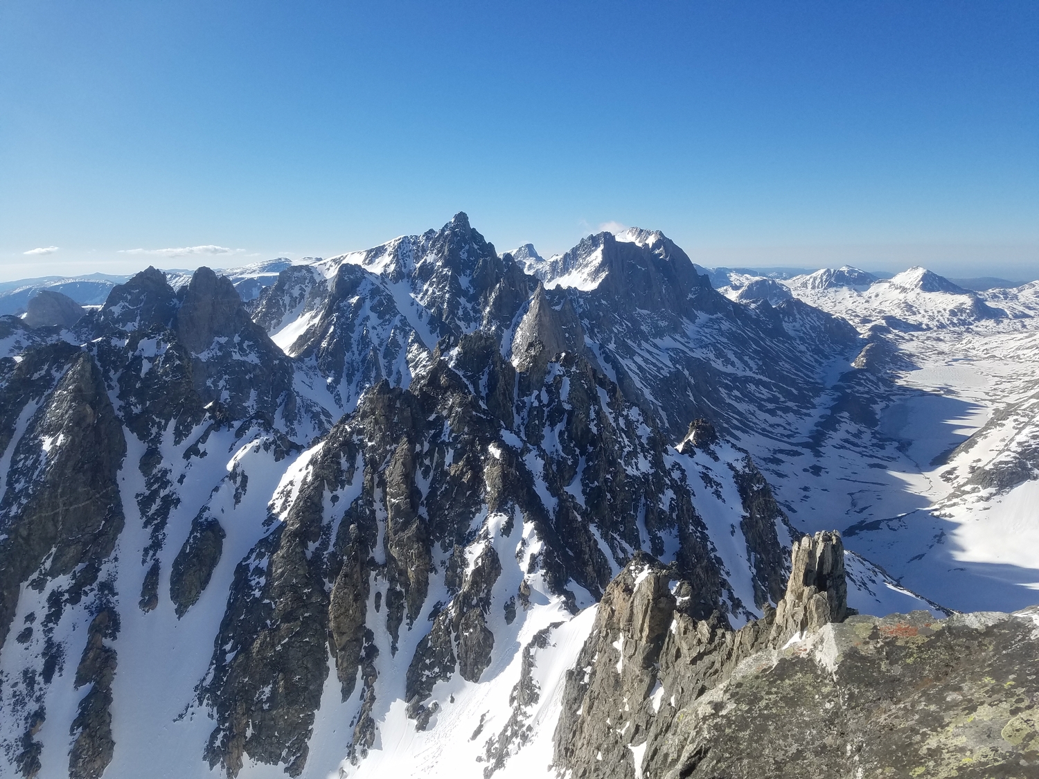
Perhaps one of the Sphinx’s greatest distinctions is its lack of common summit name modifiers like peak, mount, or mountain. Surrounded by a multitude of higher peaks with both harder and easier routes, the Sphinx can go relatively unnoticed. One exception is the last mile of the Glacier Trail in the upper Dinwoody, where the East and West Sentinels block views of peaks on either side, and the Sphinx stands out in all its symmetric glory. It takes an imaginative eye to see any resemblance to ancient Egyptian architecture, but the Sphinx’s smooth conical profile does provide a welcome visual relief from the haphazard ridgelines of its neighbors.
General Considerations
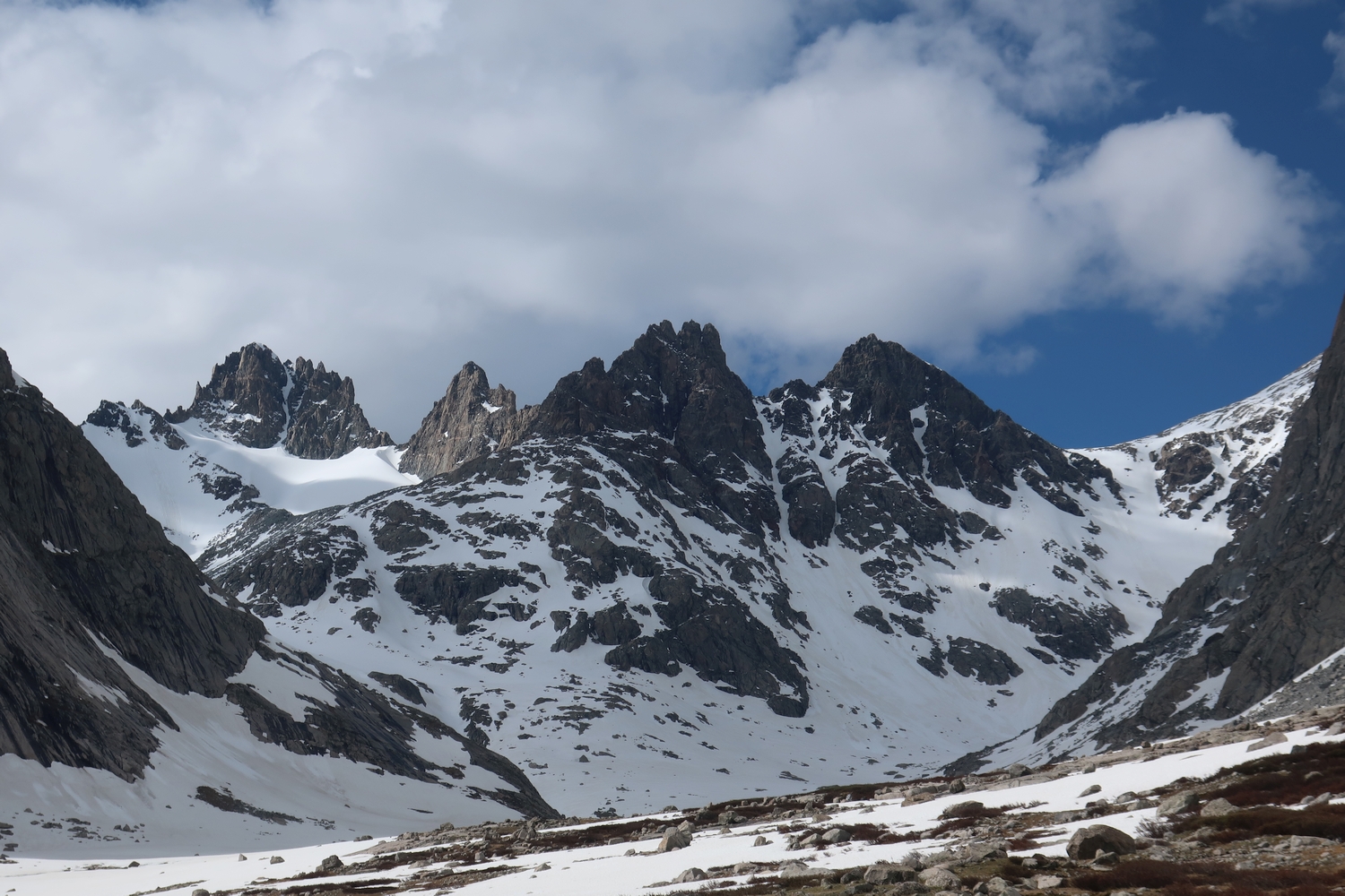
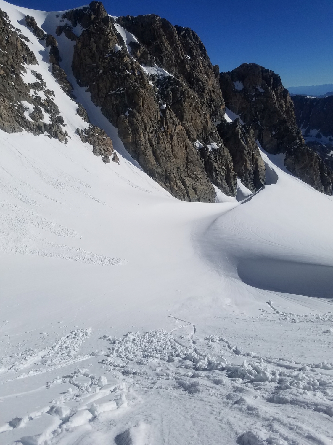
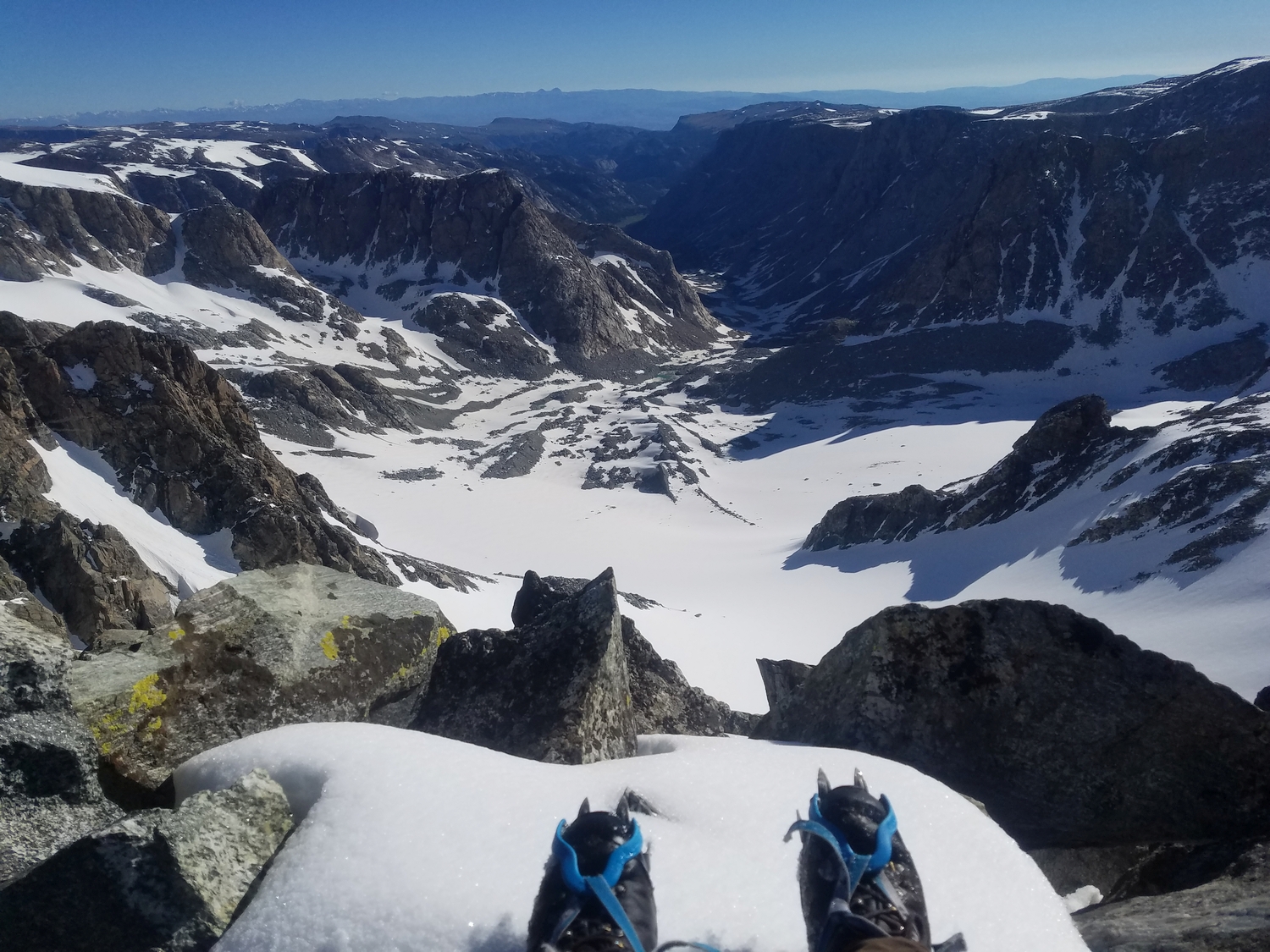
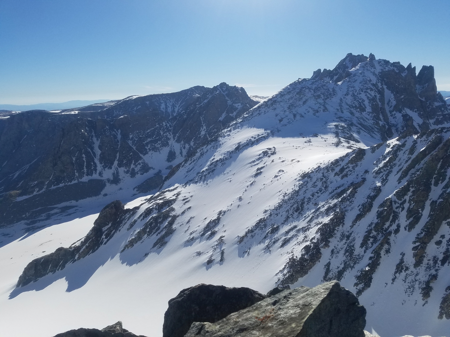
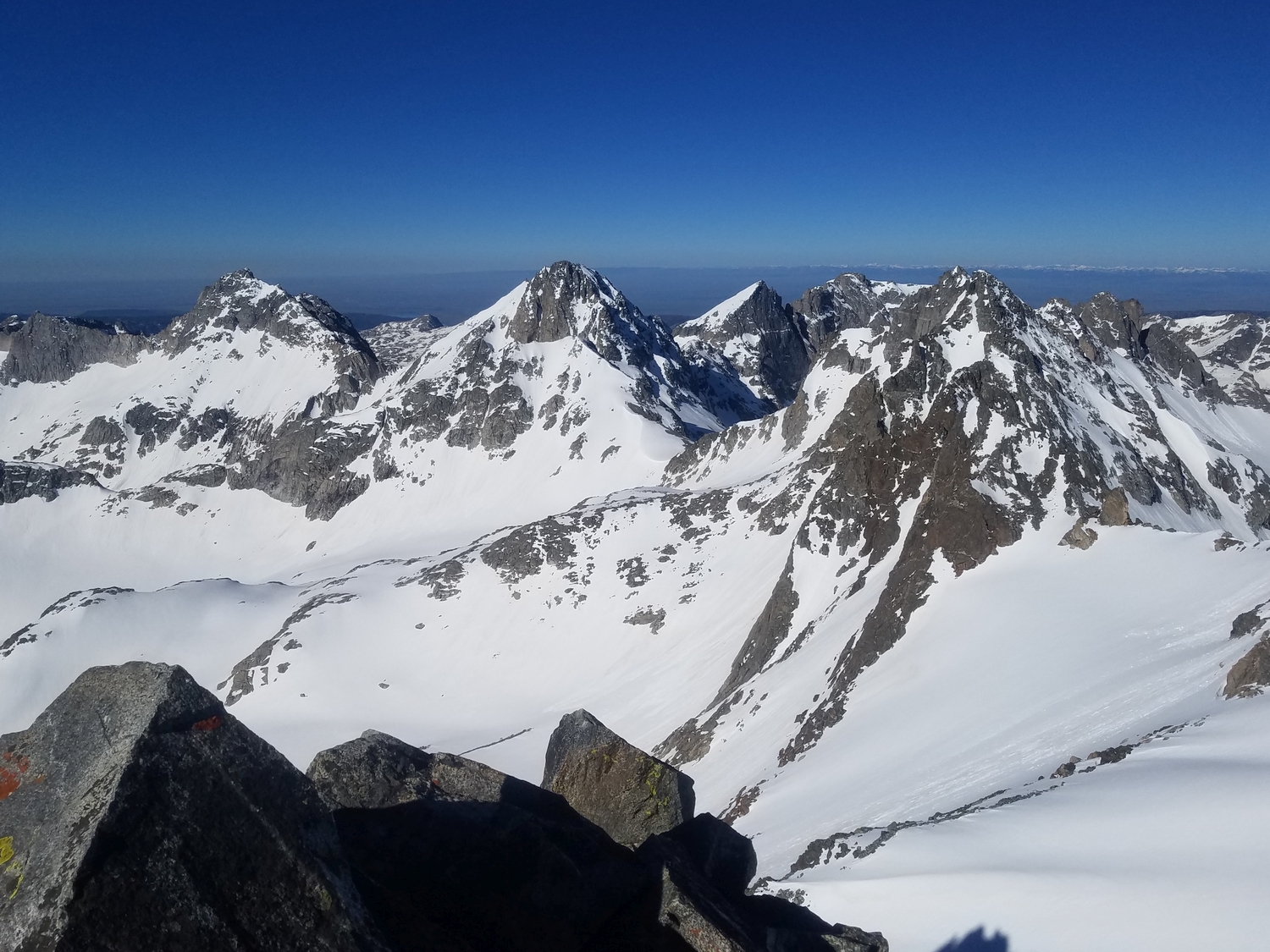
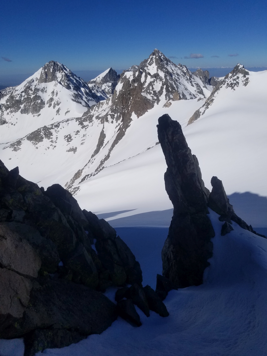
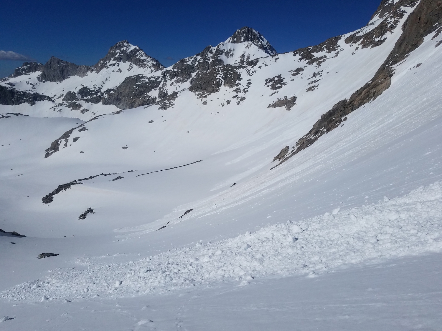
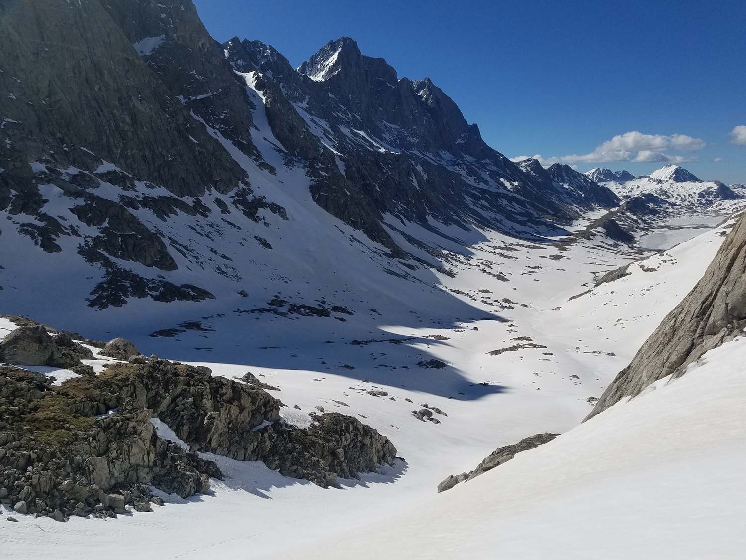
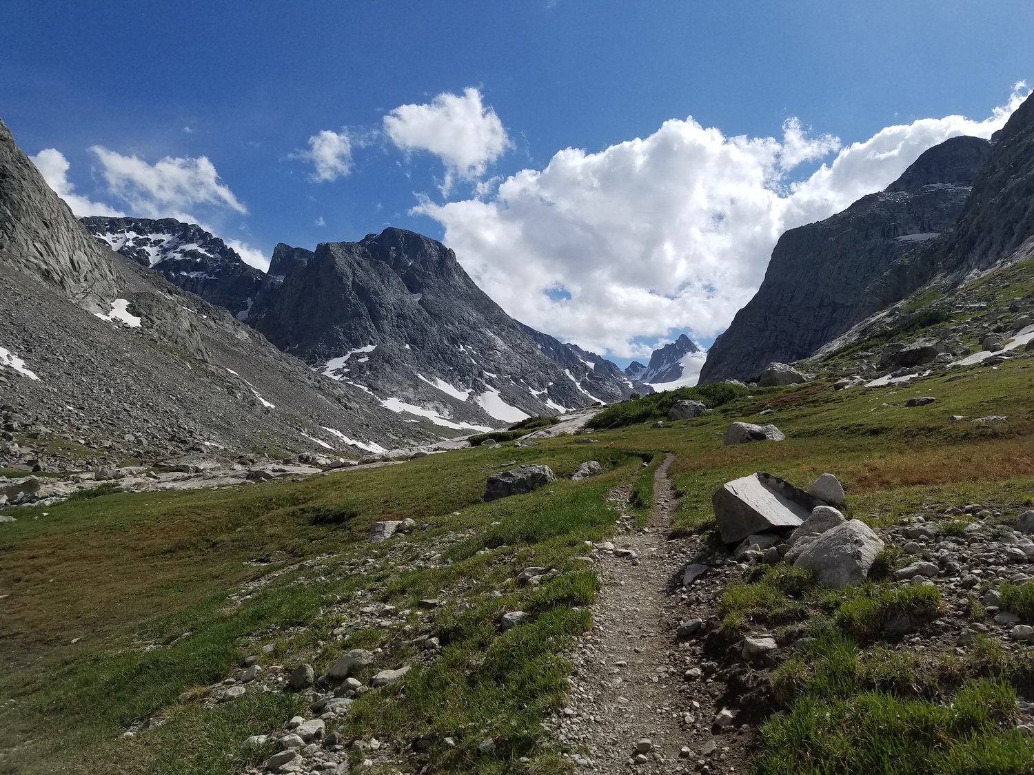
The most common route on the Sphinx can be approached from either Titcomb Basin or the Dinwoody Glacier, but the choice of approach will determine which other peaks can be most easily combined. Importantly, the most direct ascent from the Dinwoody side is troubled by a serious bergschrund, which becomes increasingly challenging to navigate in the late season. Even though the Sphinx is a rock peak, crevasses are present on both the Dinwoody Glacier and Sphinx Glacier, making strong glacier skills a prerequisite for this peak.
Route 1: Northwest Ridge – Class 4+, Moderate Snow
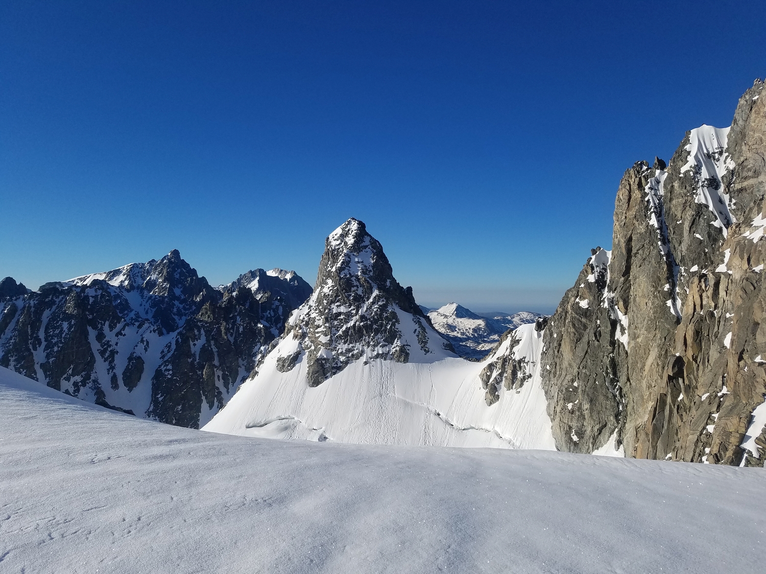
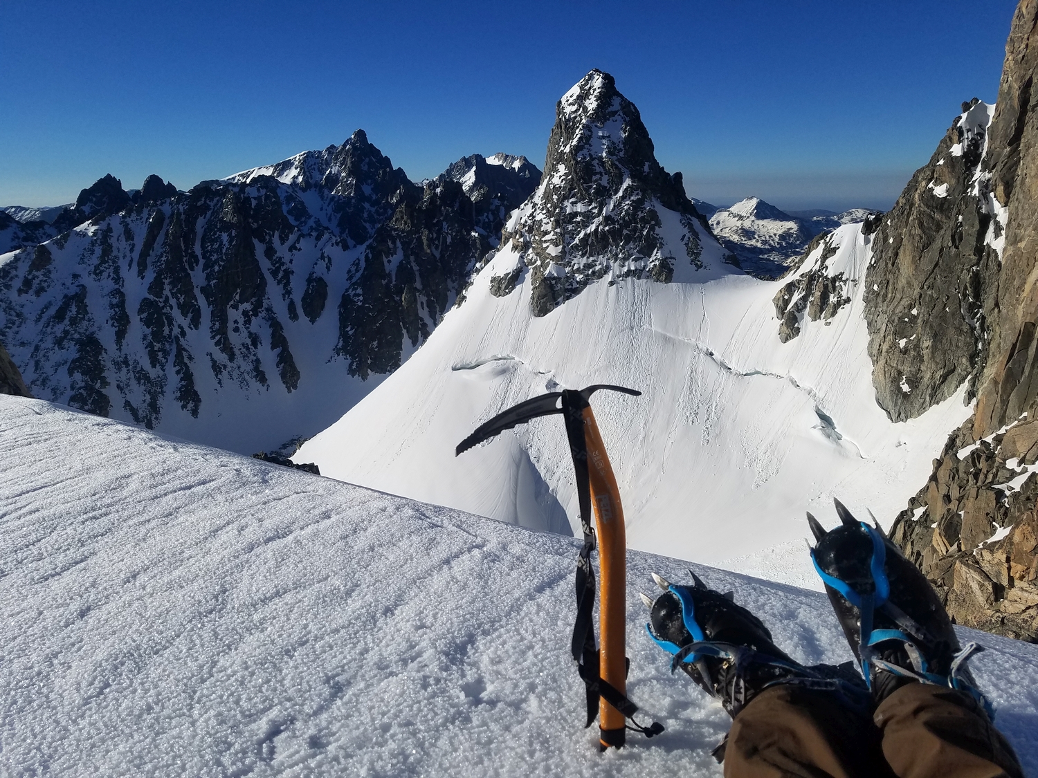
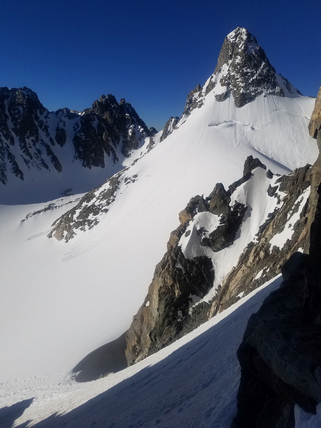
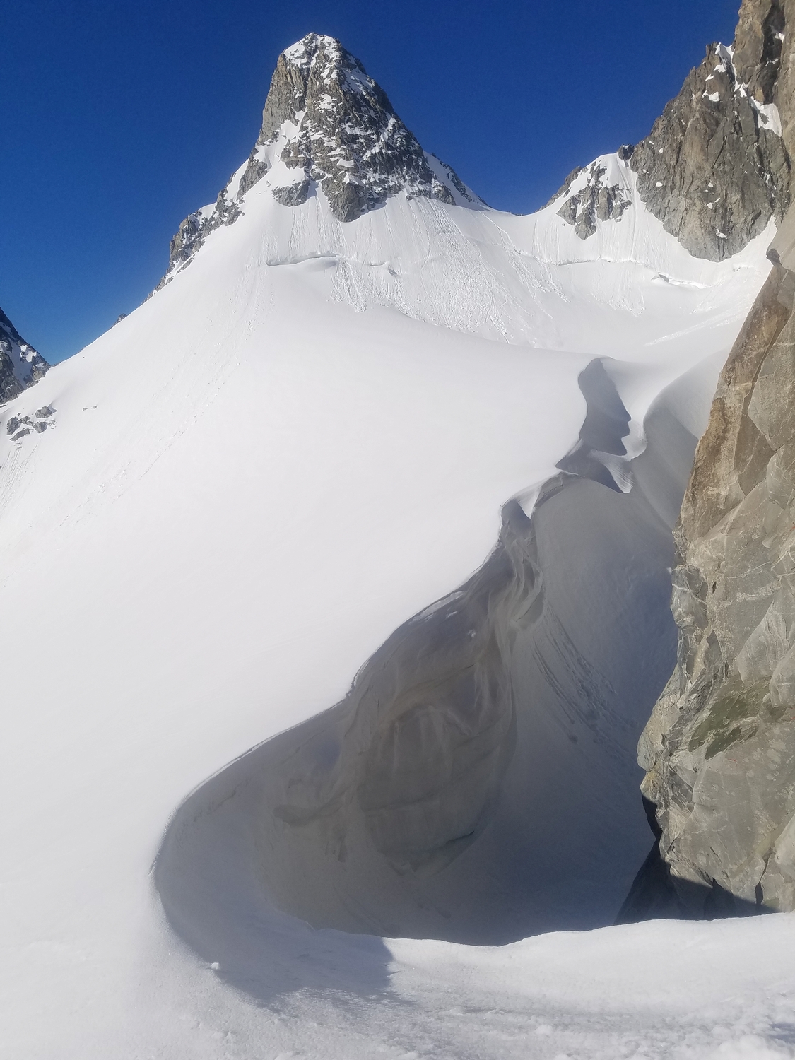
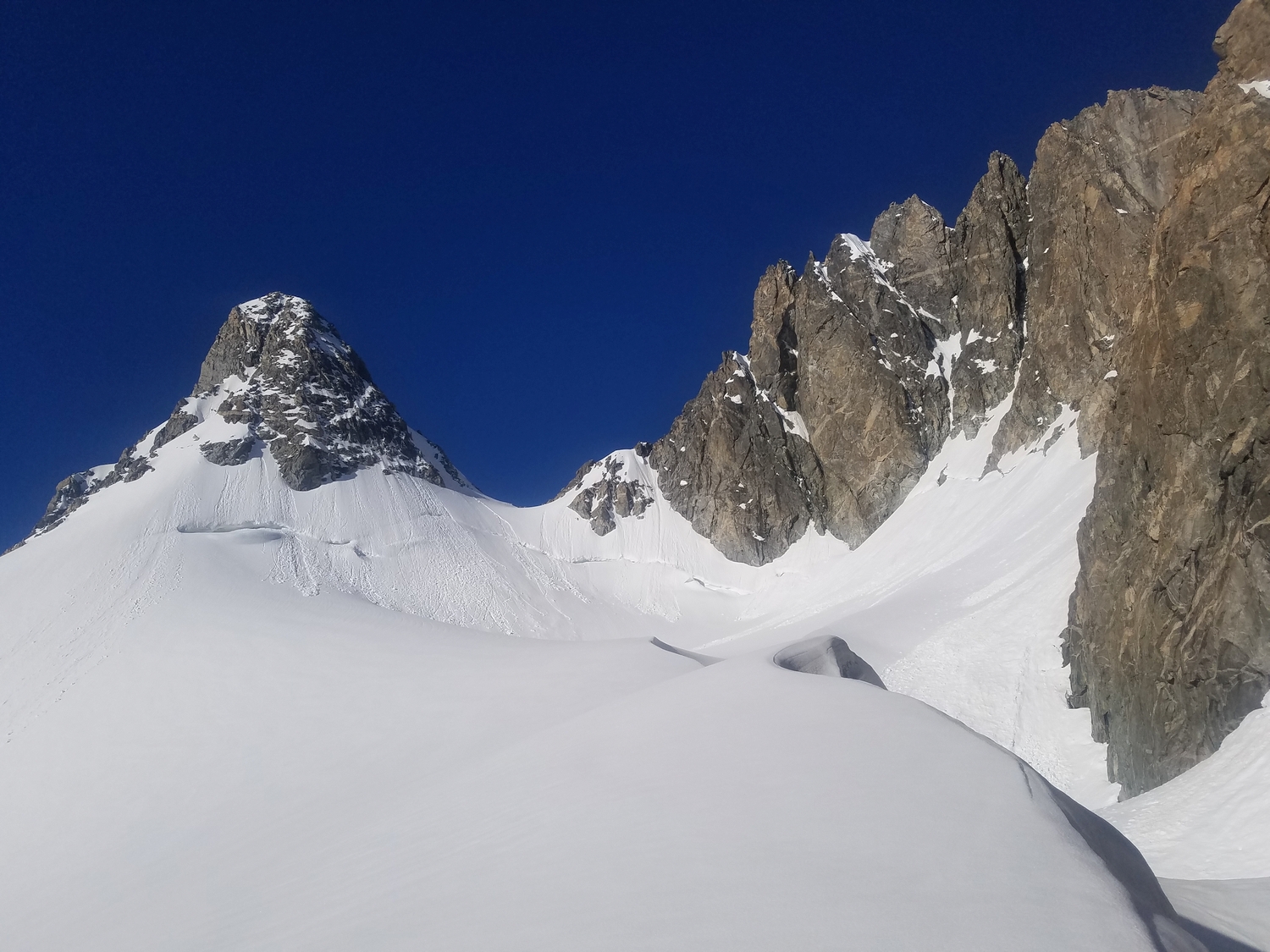
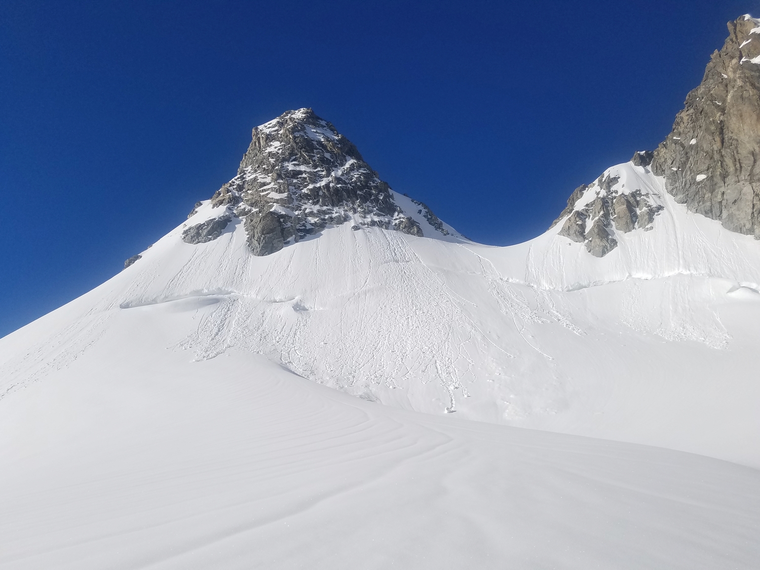
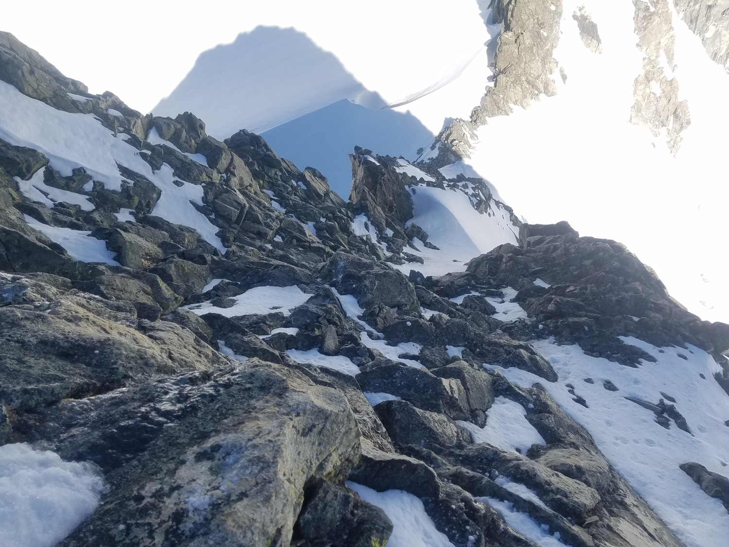
To climb this fun route, it is first necessary to gain the col between the Sphinx and Mount Woodrow Wilson, which requires considerably more effort than the climb itself. From Titcomb Basin, follow shallow gullies and benches at the head of the valley to reach the Sphinx Glacier. Ascend the snow slopes of this low-angled glacier (crevassed) to the col. The Sphinx-Woodrow Wilson col has also been reached from the Dinwoody, but this is much harder and described separately (see Route 2).
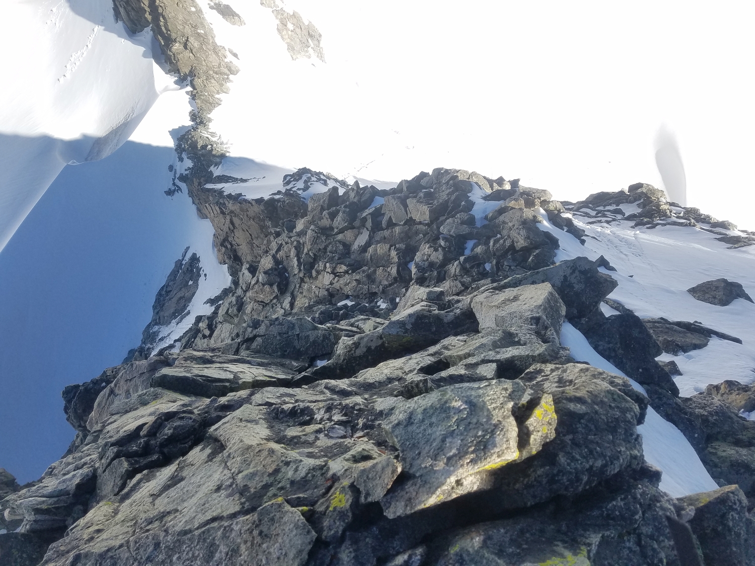
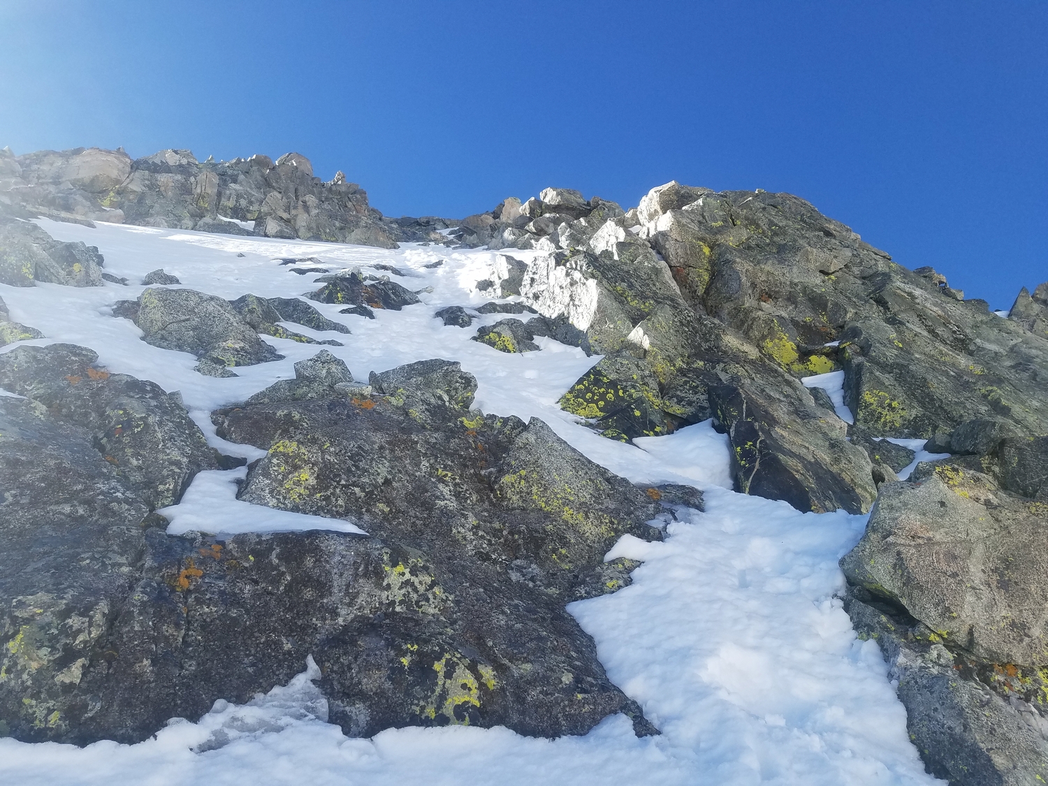
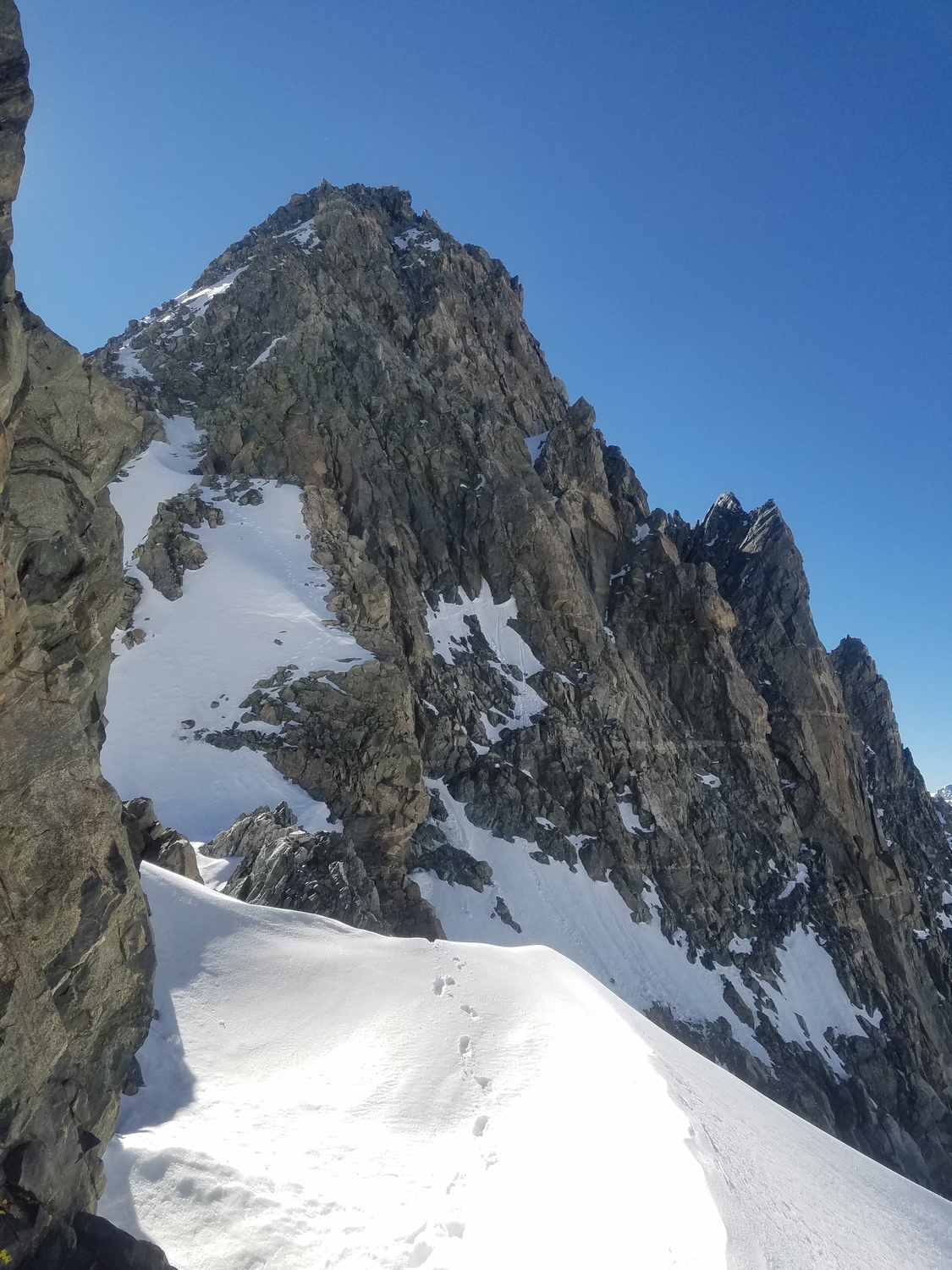
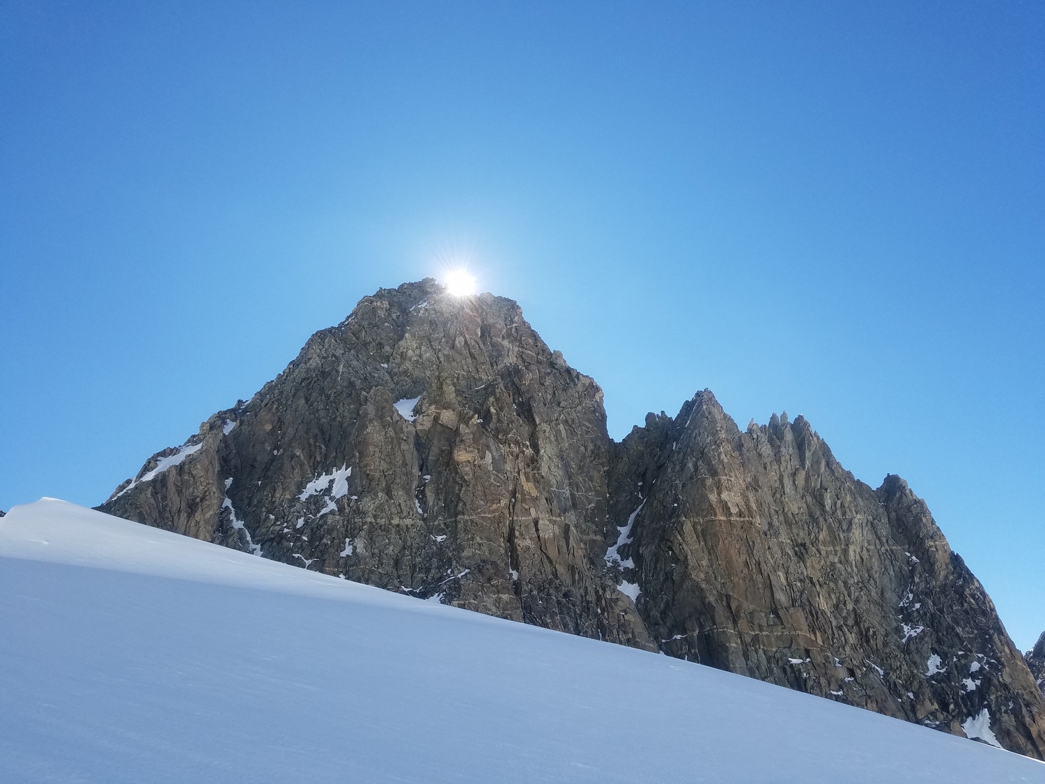
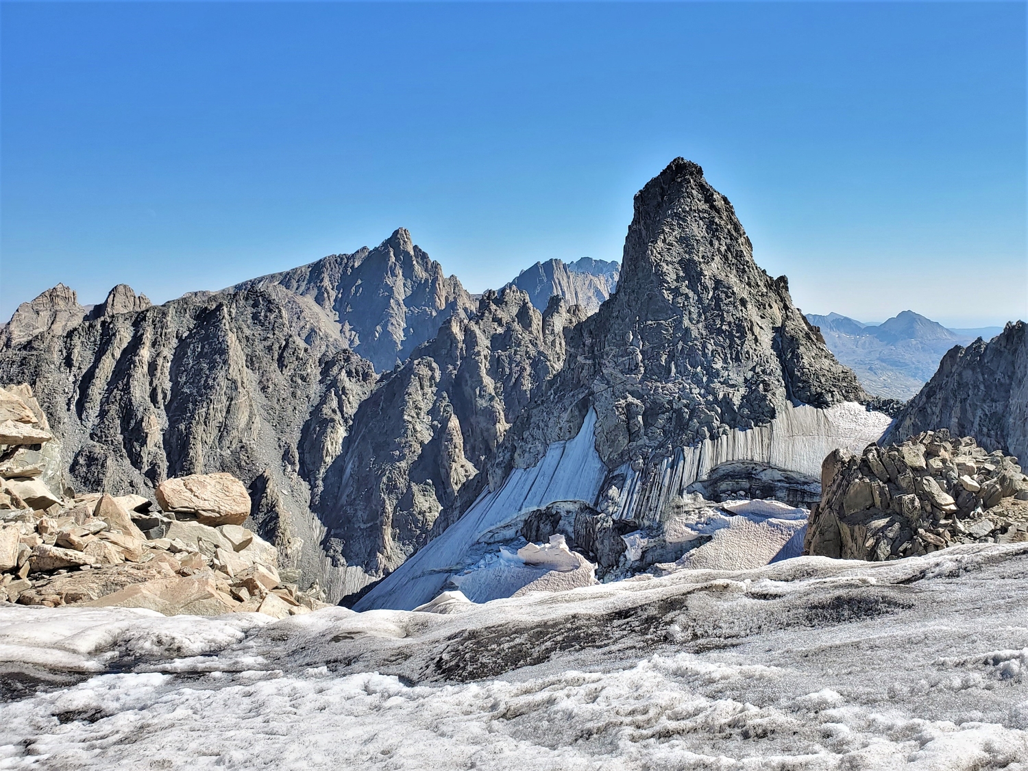
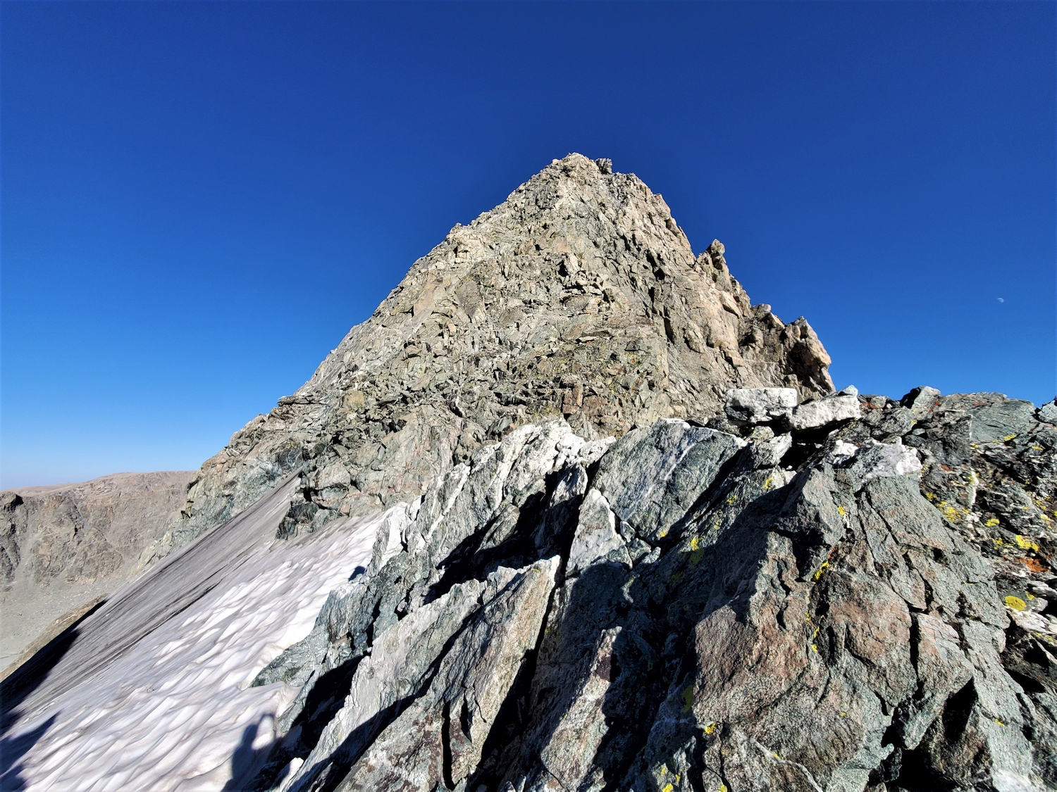
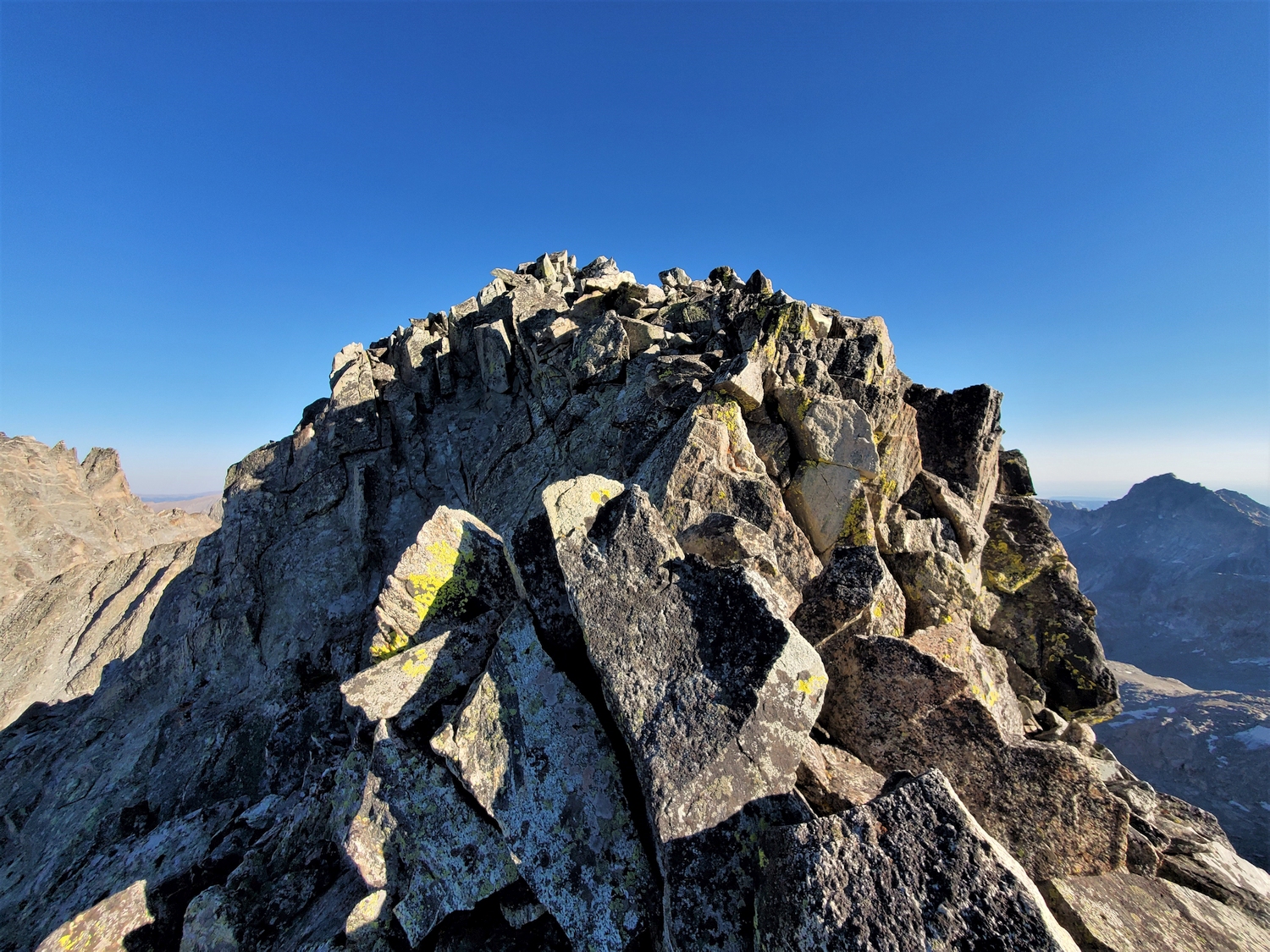
Regardless of how you reach the col, the short ridge requires little description. Climb up the surprisingly steep but well-featured ridgeline, occasionally deviating farther north on slabby ledges to avoid the steepest sections. The difficulty is sustained at class 4+, but no single obstacle blocks the path upwards. The summit view of Mount Woodrow Wilson is quite daunting.
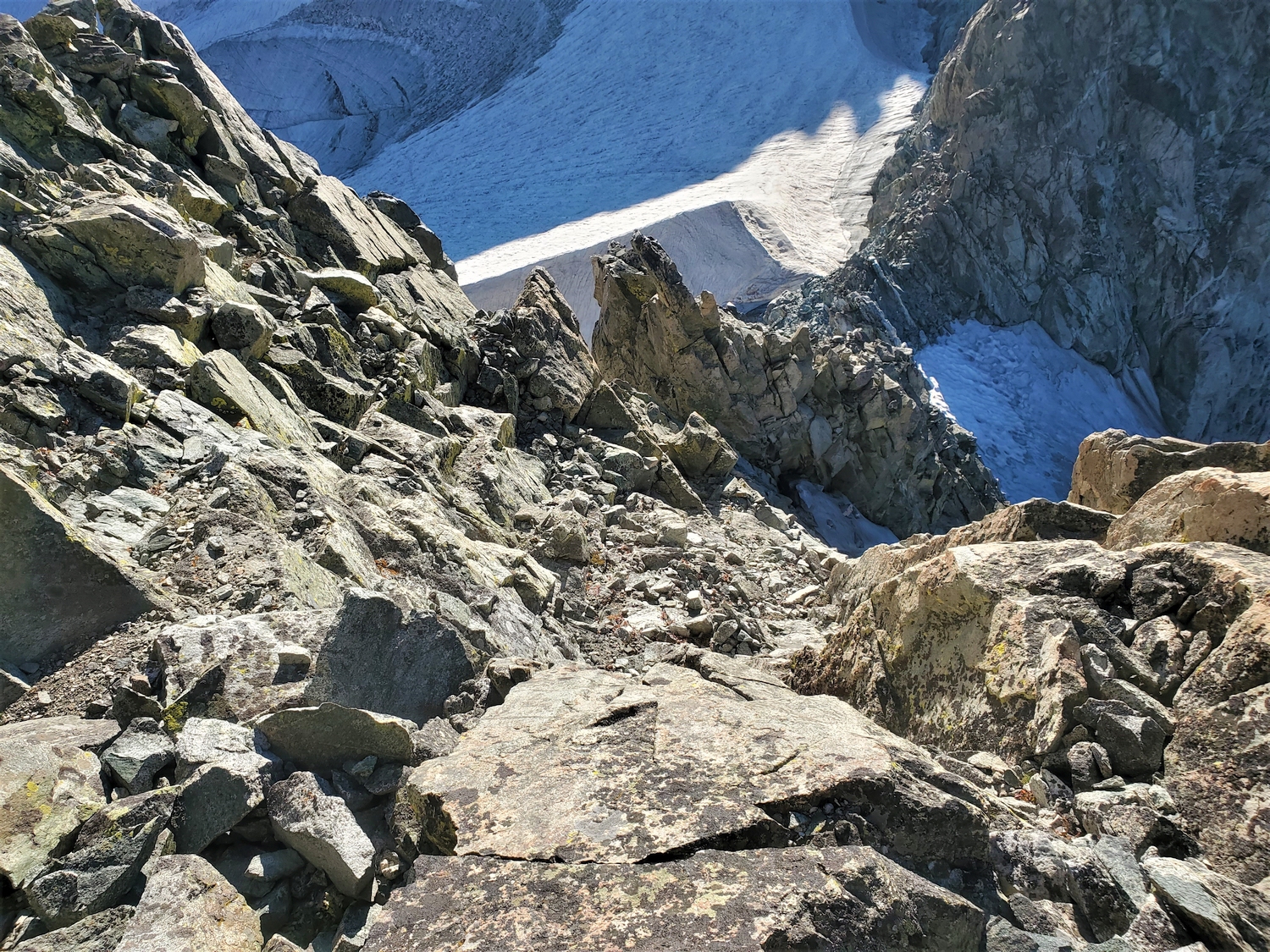
Route 2: Dinwoody Side – Class 4+, Very Serious Snow
One way to access the Sphinx from the Dinwoody would be to cross the unnamed col between Skyline Peak and Bobs Towers, from which you could connect to the Sphinx Glacier and the northwest ridge. However, if desiring a more direct route, it may be possible to climb directly to the Sphinx-Woodrow Wilson col from the Dinwoody Glacier depending on the snow conditions.
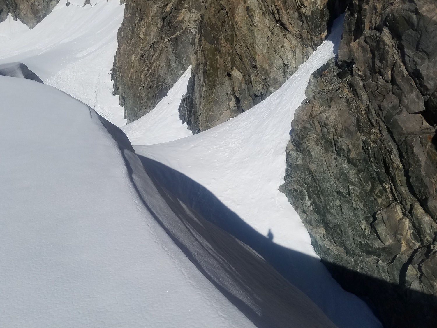
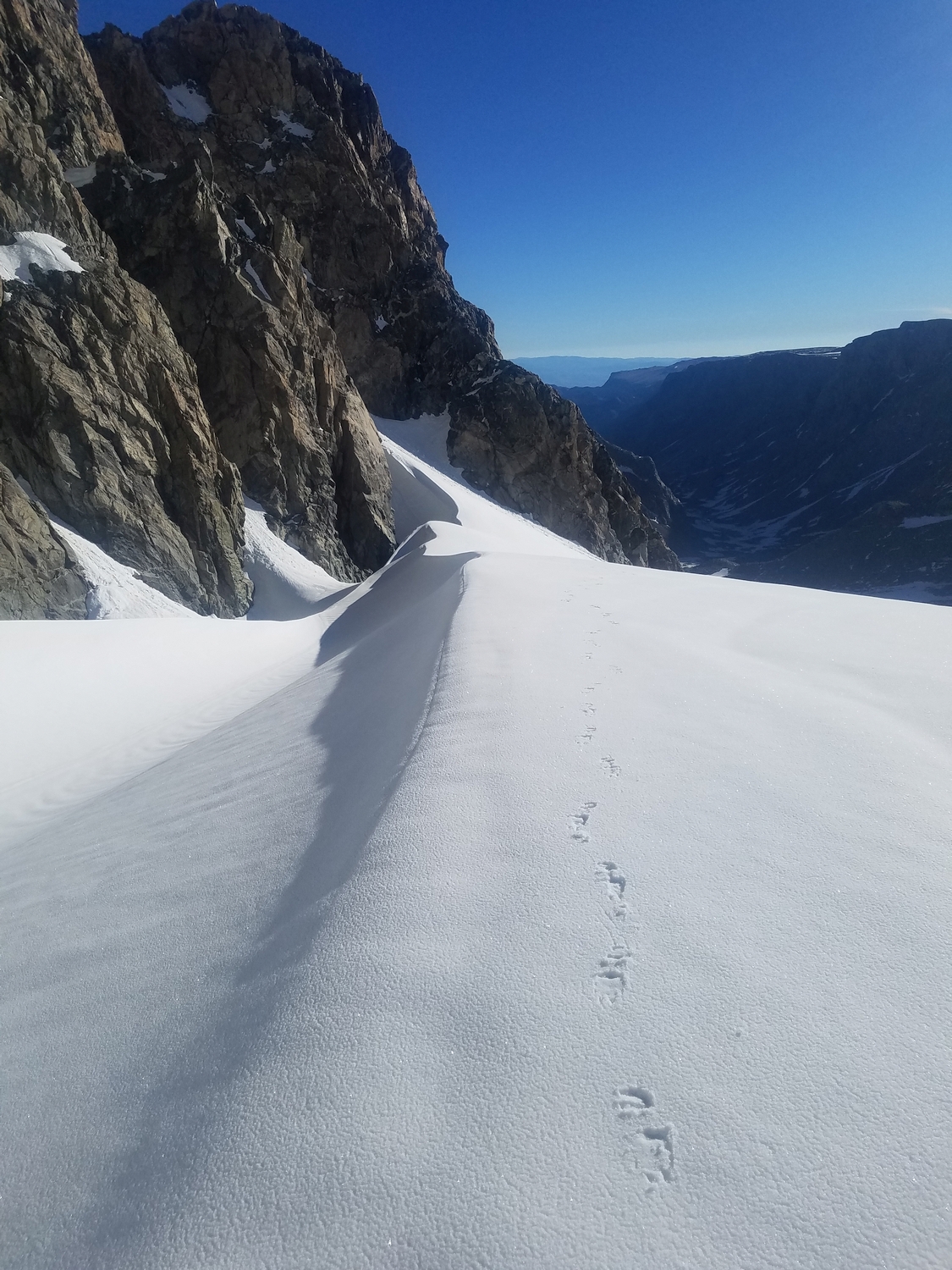
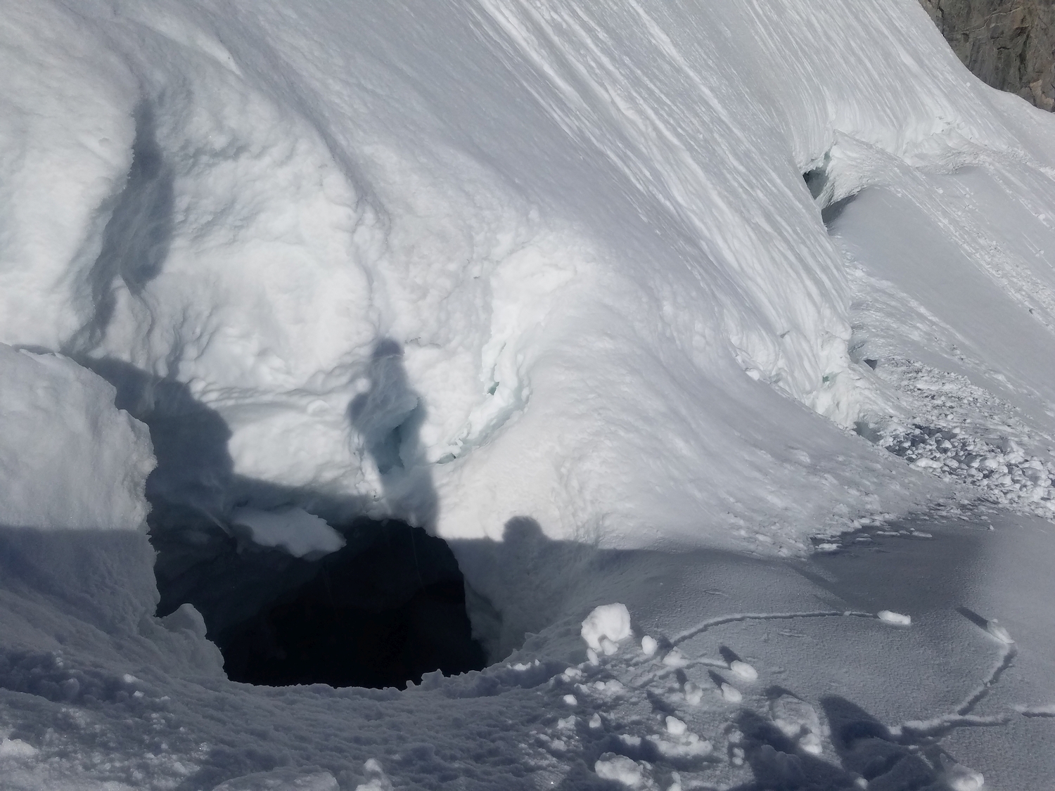
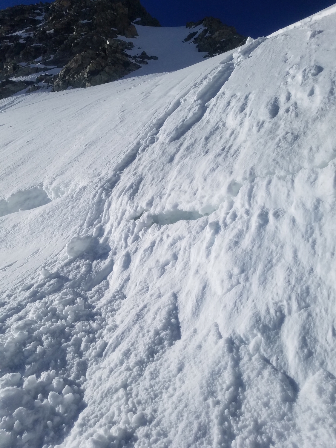
From the Dinwoody Moraine, start as if heading to Bonney Pass, then divert west onto the fork of the Dinwoody Glacier (crevassed) which flows northerly from the cirque between the Sphinx and Woodrow Wilson. Climb moderate snow to the obvious Sphinx-Woodrow Wilson col; just below the top, you will encounter an infamous bergschrund. The bergschrund consists of an enormous crevasse, and it may not be passable in the late summer after the snowbridges collapse. This route is best reserved for experienced, roped glacier teams: snowbridges may collapse at any time, and an unroped fall into the bergschrund would likely be fatal. Evaluate and proceed at your own risk.
Above the bergschrund, join Route 1 at the Sphinx-Woodrow Wilson col.
The Sphinx Map
The Sphinx Panorama
The Sphinx Photos
-
- The Sphinx (right) and Woodrow Wilson (in the cloud) stand out against gloomy skies on my approach to Titcomb Basin in snowy June conditions (2020)
-
- The Sphinx does not appear to be much of an independent peak from Titcomb Basin, but unlike Bobs Towers and Miriam Peak (the two summits on the right side of the photo), the Sphinx has enough prominence to be a ranked 13er (2020)
-
- The Sphinx rises above the Sphinx Glacier, as seen in pre-dawn light on my approach to Woodrow Wilson; the northwest ridge route climbs the left side (2020)
-
- Looking down at the Sphinx and its northwest ridge route from far above on the summit of Mount Woodrow Wilson (2020)
-
- The Sphinx’s Dinwoody side; the northwest ridge route goes up the right edge in the shadow after crossing the bergschrund below the Sphinx-Woodrow Wilson col (2020)
-
- The Sphinx looks like a much larger alpine tower in this view from a high shoulder of the Dinwoody Glacier (2020)
-
- The route climbs this glacier to the snowy headwall, crosses a bergschrund, and follows the right ridge from the col (2020)
-
- Enjoying this cool position high in the Dinwoody, with not a soul stirring in the mountains this early in the season (2020)
-
- Reaching the Sphinx-Woodrow Wilson col from the Dinwoody side requires crossing this massive bergschrund, a delicate proposition (2020)
-
- The Sphinx cuts a distinctive shadow profile across the sunlit slopes of the Sphinx Glacier, as seen while climbing the northwest ridge route (2020)
-
- View east from the Sphinx to Bonney Pass, Mount Warren, and the other Dinwoody/Bull Lake Creek 13ers (2020)
-
- View south from the Sphinx to a beautiful line of 13ers, from left to right: Henderson, American Legion, Bow (distant), Twin Peaks
-
- Looking back up the Sphinx’s short and sweet northwest ridge route from near the Sphinx-Woodrow Wilson col (2020)
-
- Descending slushy snow into upper Titcomb Basin; the recent wetslides and rapidly warming conditions helped me decide not to climb any more peaks this morning (2020)
-
- Descending a convenient mellow snow chute which connects Titcomb Basin to the hanging valley below the Sphinx (2020)
-
- The sun rises over the Sphinx as seen from Twin Peaks; the much higher Woodrow Wilson is visible to the left, with Warren in the distance on the right (2020)
-
- For the last half mile of the Glacier Trail, the Sphinx dominates the view and beckons for climbers to pay a visit (2020)
-
- From here, I had an impressive view of the north side of the Sphinx, guarded by an infamous bergschrund. Luckily, my route on the Sphinx would avoid these difficulties, climbing the peak’s right-hand skyline with an approach from the other side of the col.
-
- Before heading to camp, I still need to climb one more peak: the Sphinx. But after all the drama so far, a quick scramble on a known route with good rock doesn’t sound too bad.
-
- The steep-sided Sphinx cuts an aesthetic profile, seen here from its col with Woodrow Wilson. While I was taking off my crampons and stashing my pack at the col, a rescue helicopter flew low across the ridge. They seemed to be headed back to Pinedale from the Dinwoody region. A bit unnerving…
-
- Shadows are beginning to lengthen across Titcomb Basin; it’s just after 6 p.m., and I still have a good bit of work to get to camp.
DISCLAIMER: Mountain climbing is dangerous. Activities described on this page may lead to serious injury, death, and property damage. This webpage is presented with no warranty express or implied. Pictures and text are for entertainment purposes only. No commercial use allowed; all rights reserved.